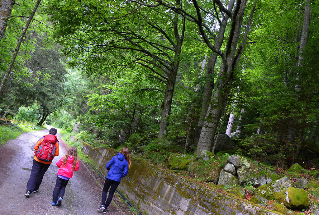
A semicircular walk that leads through a lovely green alpine world, up to the mysterious Lago delle Fate
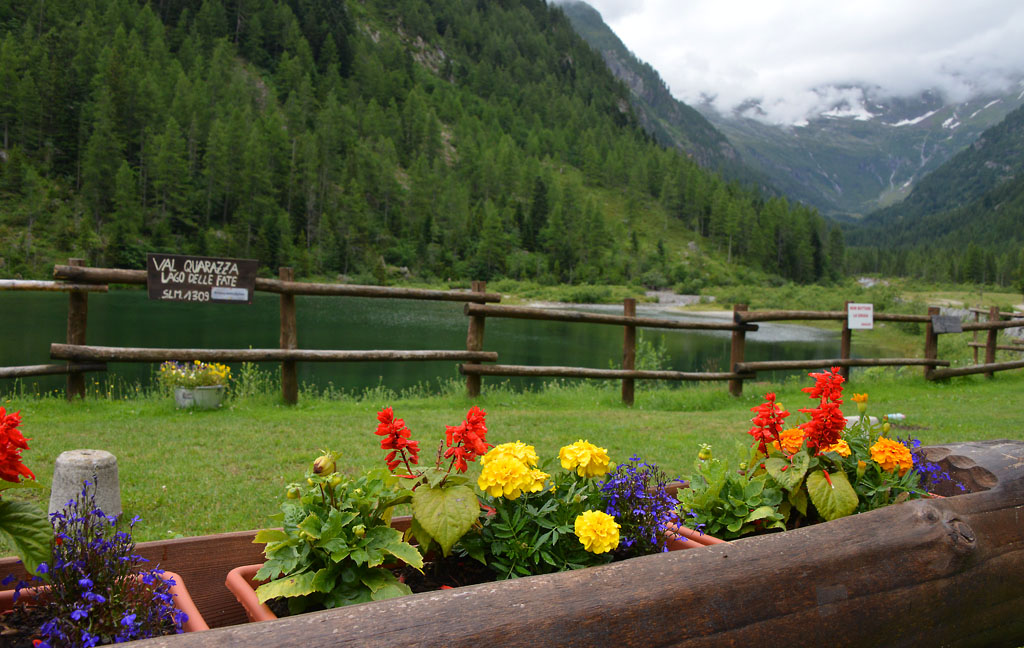
LAGO DELLE FATE
Valle Anzasca
Route description
A semicircular walk that leads through a lovely green alpine world, up to the mysterious Lago delle Fate.
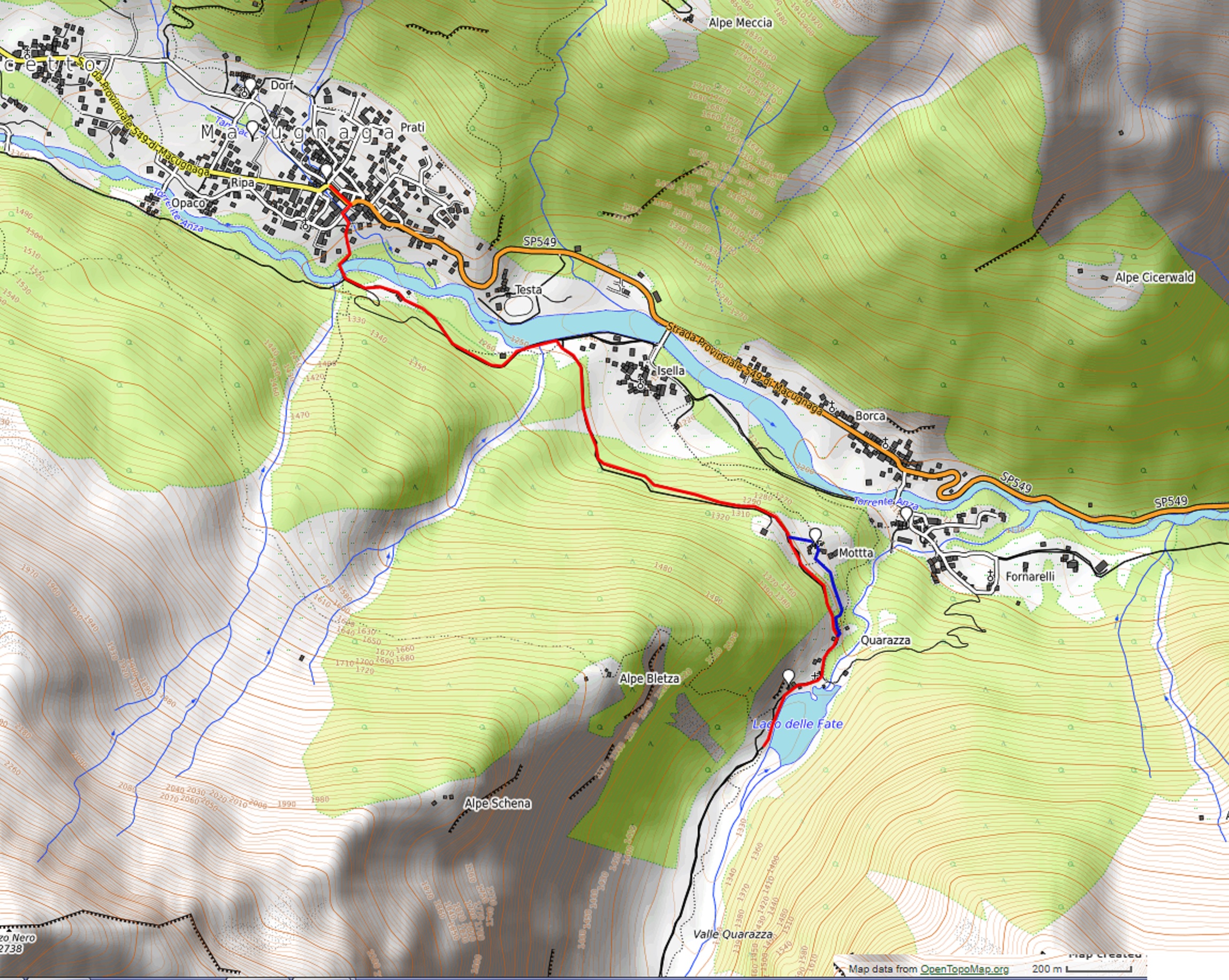
Departure location: Macugnaga, Piazza Municipio (1310 m)
Place of arrival: Lago delle Fate (1330 m)
Minimum altitude: 1245 m approximately
Difference in altitude: -55 m + 85 m approximately, one way
Distance: 3 km one way
Walking time not counting stops: 1 hour one way
Type of route: dirt road
Signs: red/white road signs
Water: fountains in Macugnaga
Recommended period: from April to October
How to get there: 40 km away from Domodossola. Along the SS33, 12 km south of Domodossola, exit at Piedimulera, then follow the blue signs for “Macugnaga”. Parking in Piazza Municipio. By bus: Domodossola-Macugnaga line, stop Macugnaga-Staffa (www.comazzibus.com).
Information: Distretto Turistico dei Laghi – www.distrettolaghi.it; IAT office – Piazza Municipio 6, Macugnaga – tel. +39 (0)324.65119; Municipality of Macugnaga – www.comune.macugnaga.vb.it; Comunità Montana delle Valli dell’Ossola – www.cmvo.it; Tourist information – www.macugnaga-monterosa.it
the itinerary
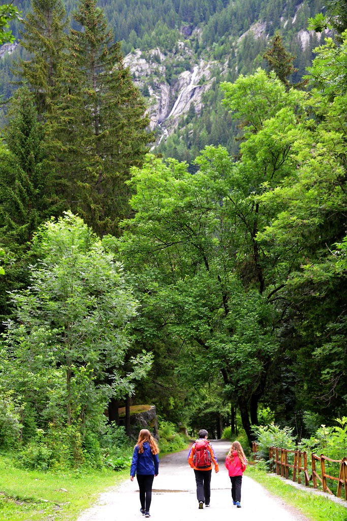
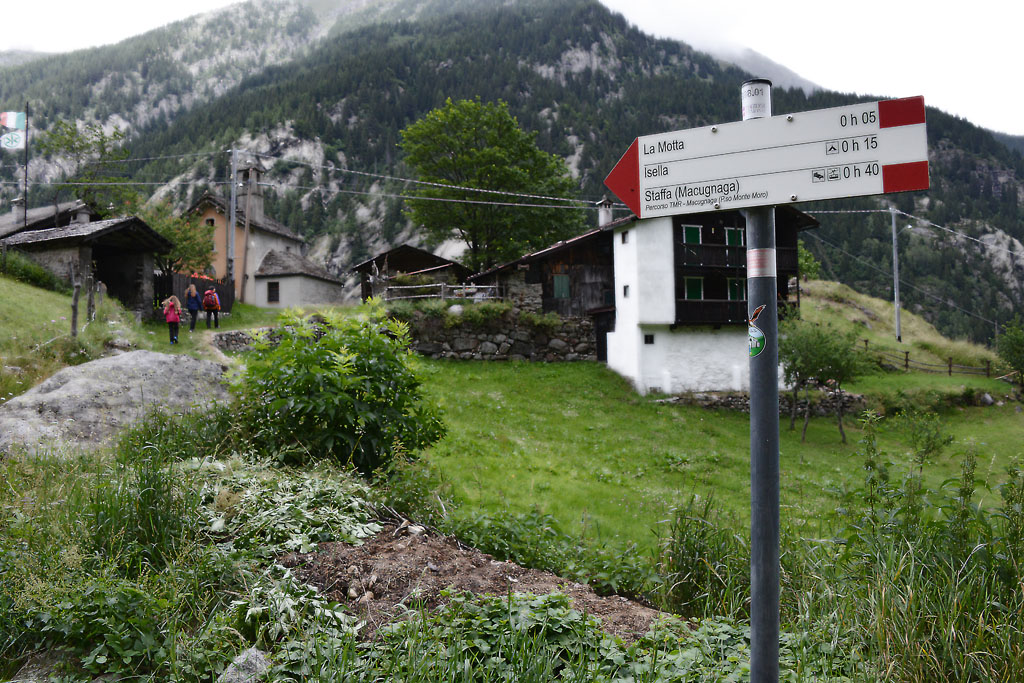
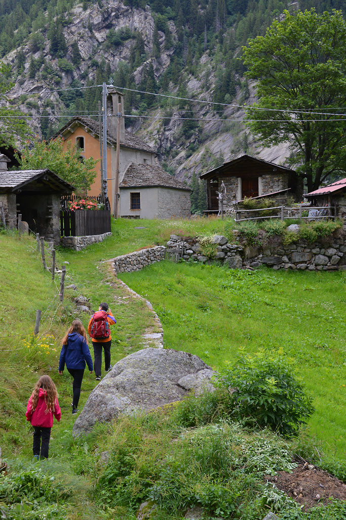
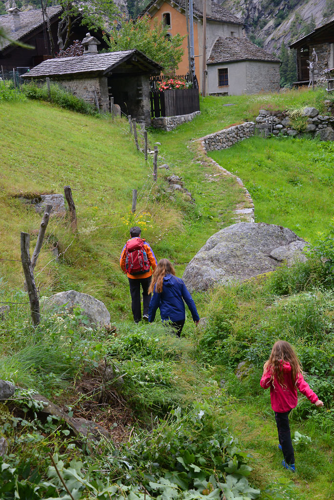
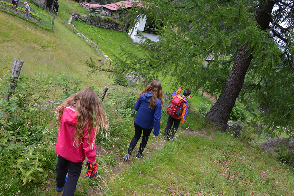
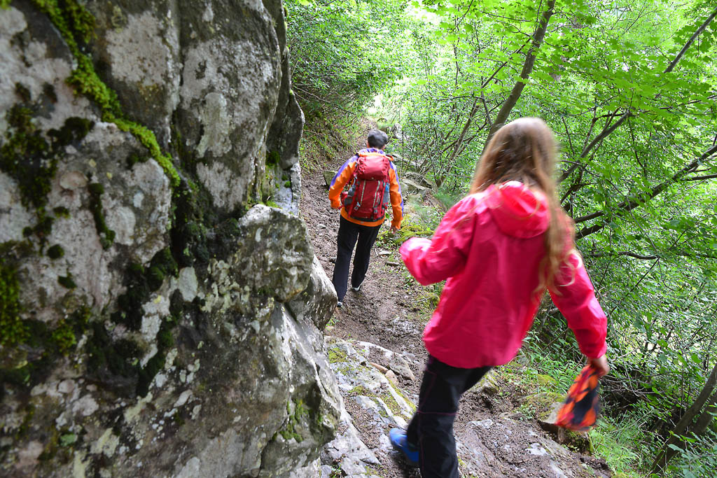
Keep the pleasant town hall square, surrounded by houses of wood and stone with a beautiful fountain flush in the centre, on your left, and walk along a short stretch of state road. You will turn almost immediately to the right on via Ludovico Jacchetti. A few steps along this street and then you will go almost immediately to the left along a little asphalted alley (brown sign for “Lago delle Fate – Percorso Vita”) that descends continuously to a bridge over the Anza stream.
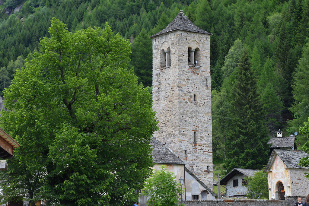
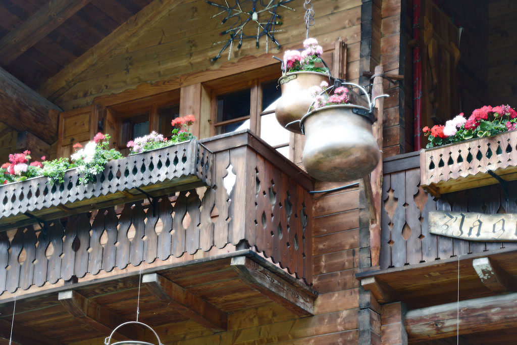
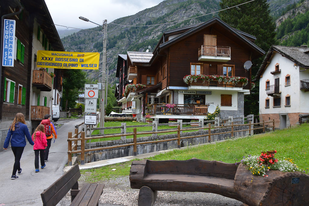
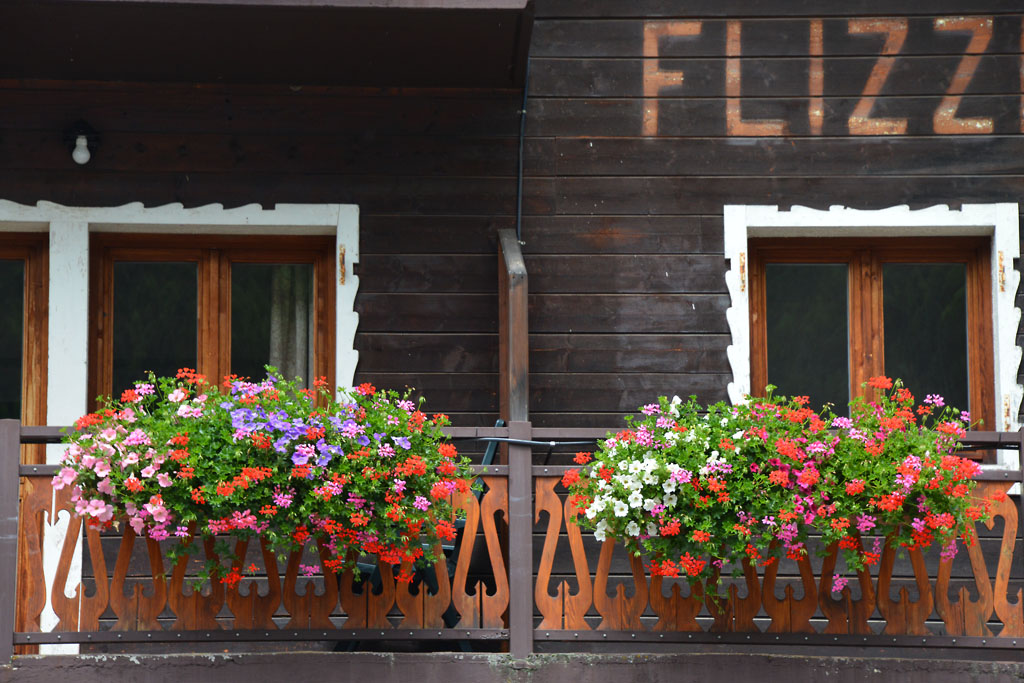
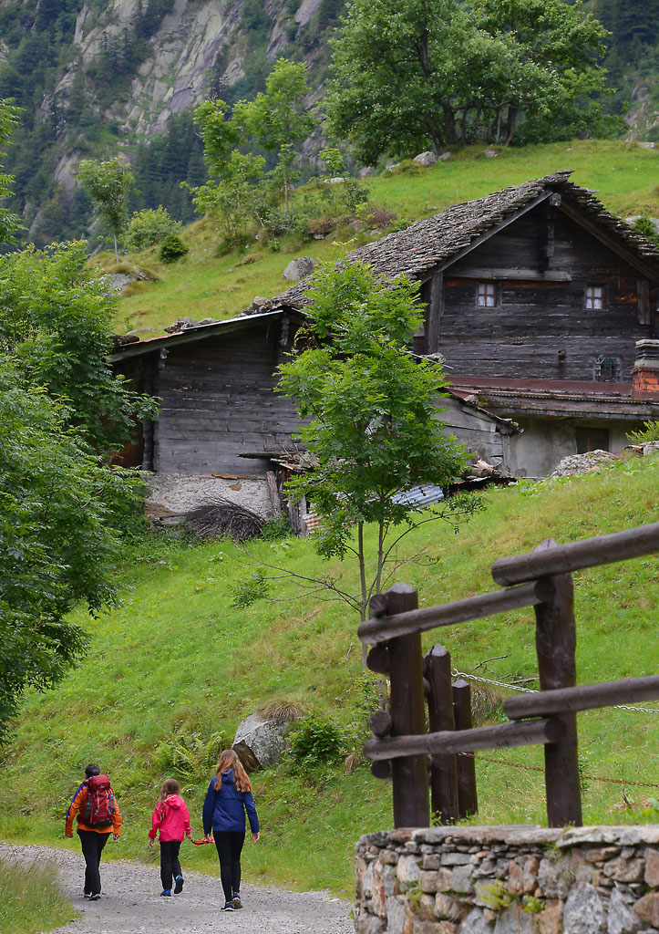
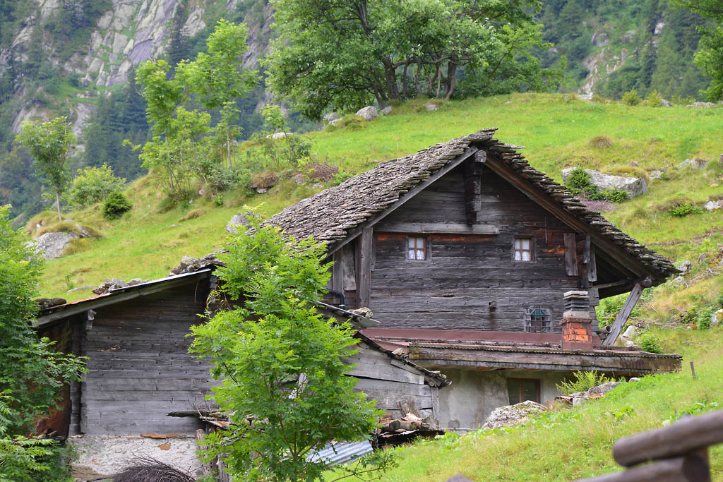
Macugnaga is an ancient village founded in 1256 by Walsers, a population of Germanic origin from Wallis, which colonised several valleys around Monte Rosa. The buildings underscore this origin precisely, because they are built with the typical Walser blockbaum technique, in stone and wood. There is a spectacular view of the east side of Monte Rosa and the “four Sisters”: Punta Gnifetti (4554 m), Punta Zumstein (4563 m), Punta Dufour (4634 m) and Punta Nordend (4609 m).
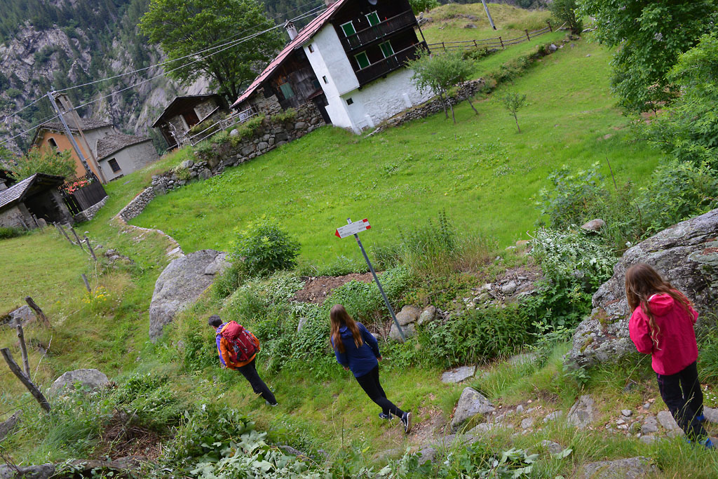
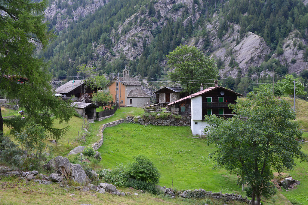
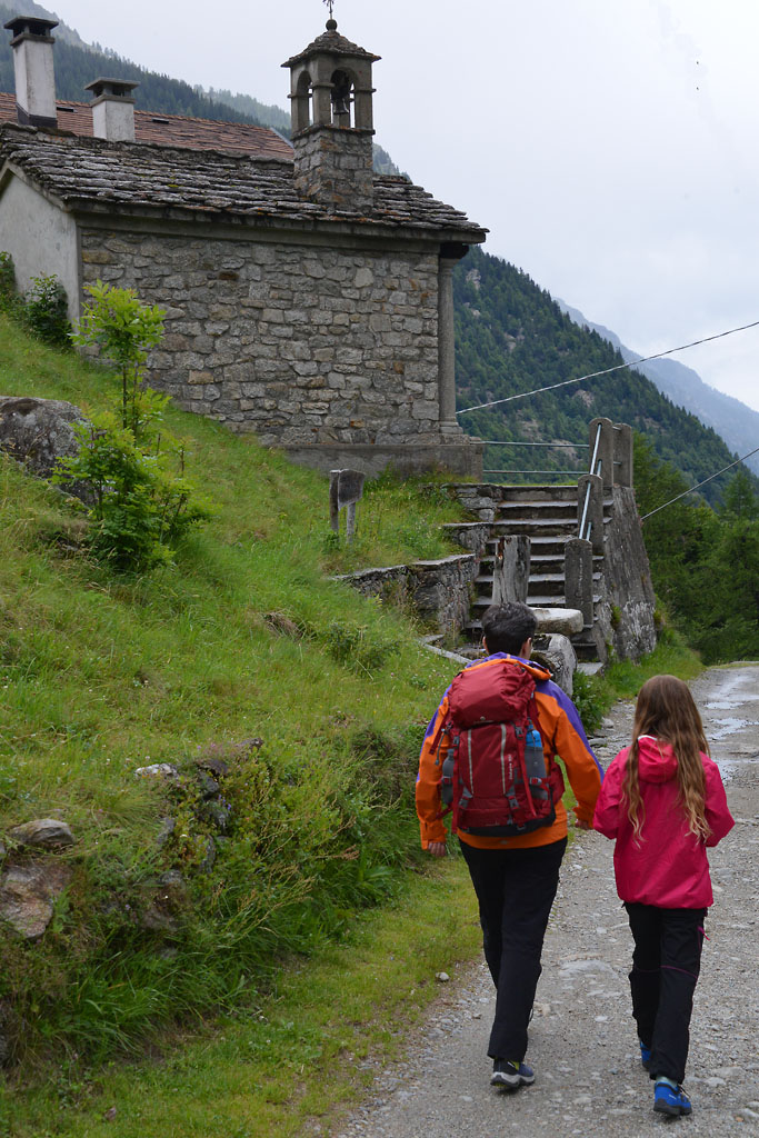
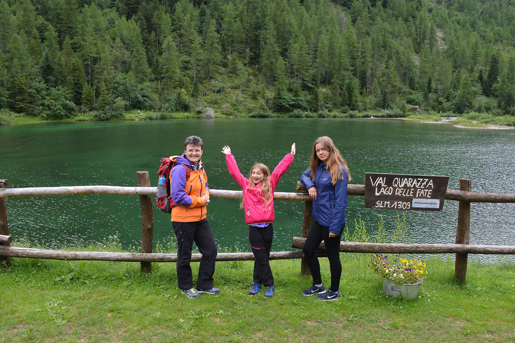
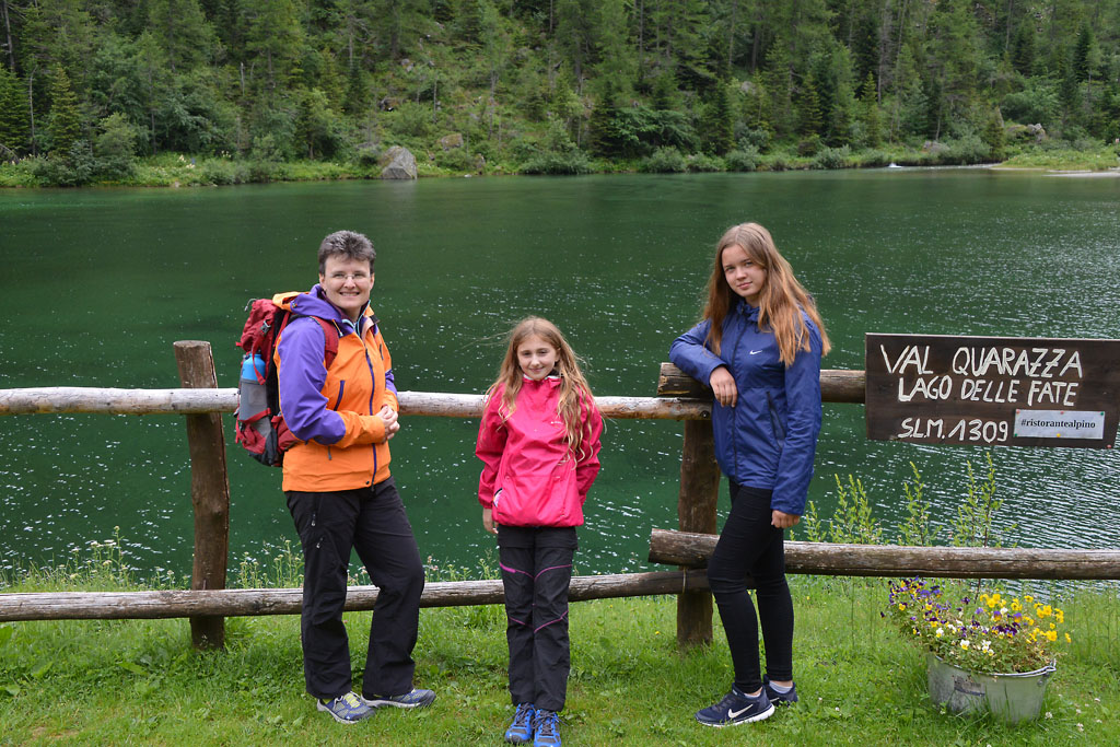
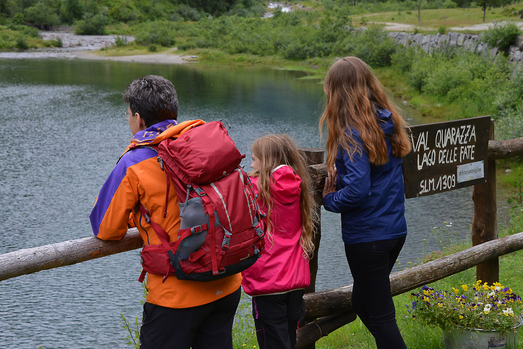
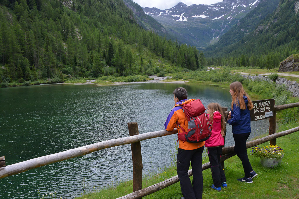
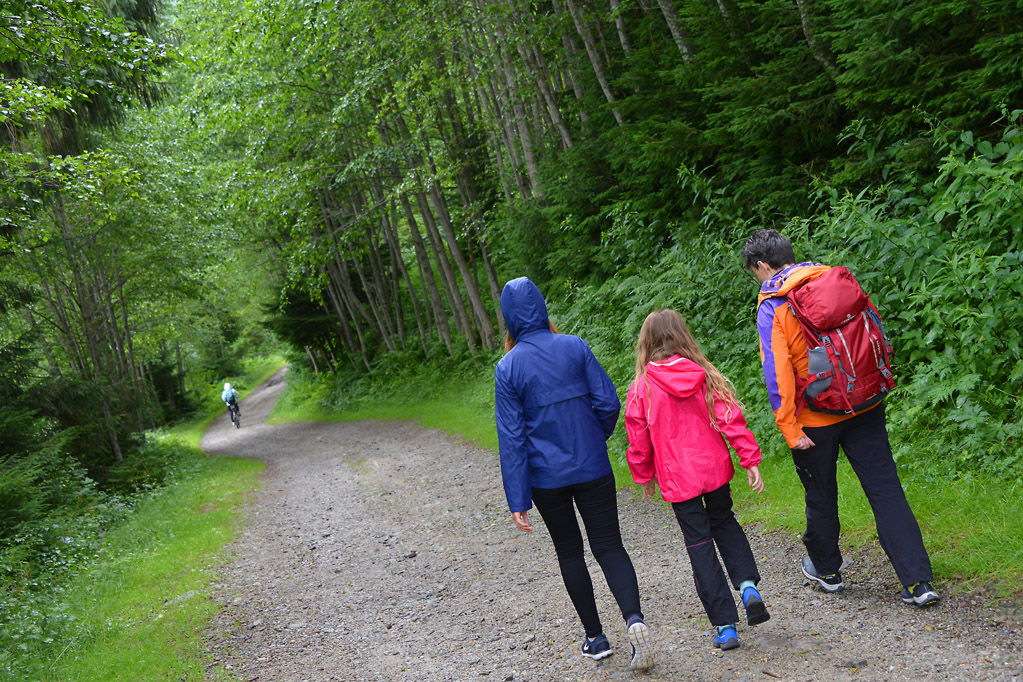
After crossing the bridge, keep left on the dirt road that runs beside the torrent (yellow signs for “Lago delle Fate 50 min.”) always keeping left and walking on a pleasant level road. After passing a barrier bar, take the dirt road on the right, uphill (yellow signs) and stay on the main street to climb gradually and constantly to Quarazza (1309 m), where you will find two bar-restaurants, a small church, a fountain and the Lago delle Fate.
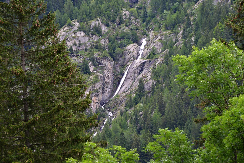
We are located at the entrance to Quarazza Valley, which ends with Passo del Turlo (2738 m), a connecting road between Macugnaga and Alagna, which for centuries was an important through route between the valleys of Monte Rosa. Today, a mule track of the early 20th century runs along this route, and it is the passage of the Tour of Monte Rosa. At one time, the village of Quarazza was much larger, but part of the hamlet was submerged by the waters of the lake. The water level rose after the dam was built in 1952.
The shores of the lake are very pleasant for taking a break, with small beaches that you can stay on, and immediately after, there are wide and flat meadows. All elements that will make you want to end your trip here with your little hikers.
If you like, you can continue along the dirt road until you reach the village of Crocette, also called the “Città Morta” (the dead city) (1400 m), which was a village of miners. Today, you can see the remains of buildings linked to the ancient gold mining operations (another 1.6 km, +100m one way).
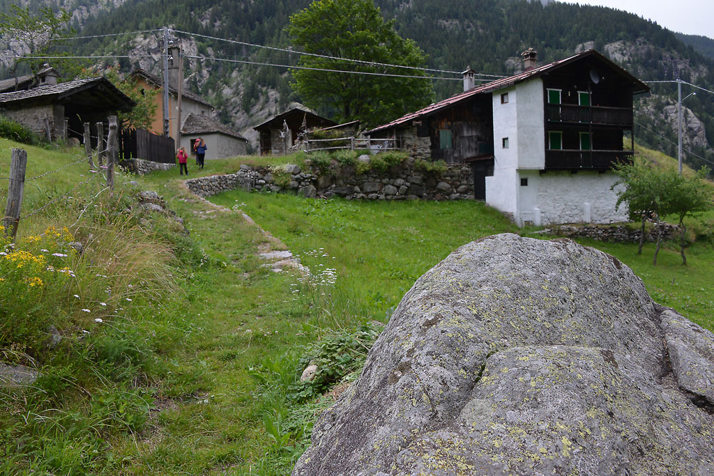
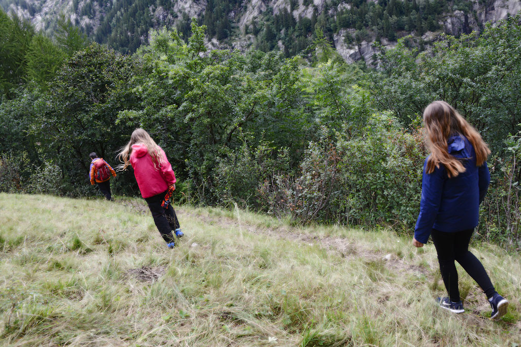
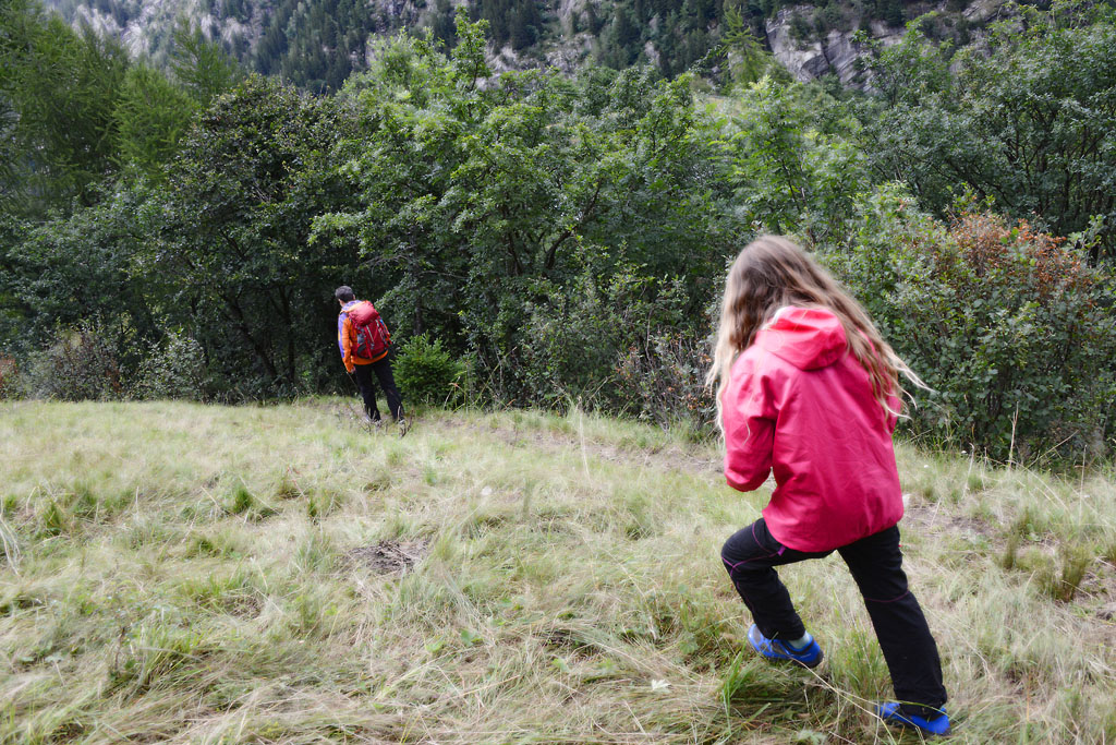
You return by going back the way you came, but we strongly recommend a short detour that passes through the characteristic village of La Motta. After leaving the lake behind you, shortly after the bar-restaurant, take the steep trail down to the right (sign for “La Motta 0h20”). Just beyond this, keep left and go along a more gradual stretch that leads to the lovely village of La Motta (1280 m) with a 13th century oratory where an anonymous artist has created imaginative forms of wood. A short uphill trail then returns you to the dirt road you were on at the start, you can retrace your steps to return to your departure point.
Variant: if you travel the complete downhill path, (sign for “Borca”), you will come to a very steep descending staircase and then to the village of Borca, where the Guia Gold Mine is located.
to learn more
Staffa – The Old Linden Tree
Via Chiesa Vecchia starts from Piazza del Municipio, and at the end of the road there stands the ancient church that the street is named after (documented in the 14th century, but certainly even older) with its adjacent cemetery and, most importantly, what many consider to be the true symbol of Macugnaga: a monumental tree that is estimated to be about 800 years old. Legend has it that it was plated when Macugnaga was founded, and the most important meetings in the community were held around its trunk.
The Museum of the Mountain and Smuggling
The Museum of the Mountain and Smuggling is situated in the village of Staffa, in an 18th century building that was once a barn. It tells the story of the first alpine guides, of climbing Monte Rosa and the story of the “spalloni” who smuggled all sorts of goods over the border. The museum features photos, videos, and objects on display.
Guia Gold Mine
Situated in the locality of Fornarelli, this place can boast of being the first gold mine in the Alps open to the public, and the first Italian mining museum. It is a journey back through the history of gold extraction in the valley, because it seems that the mines were already open during Roman times. After a maximum peak in the 1940s (in 1948 they extracted 580 kg of pure gold!), foreign competition and ageing machinery lead to its closure in 1961. The visit is fully accessible to people with motor disabilities (www.minieradoro.it).
The Walser Museum
The museum is located in the village of Borca, inside the original parish church house built in the 17th century. Since 1982, it has seven rooms where furniture and objects of the Walser lifestyle are on display (www.museowalser.com).
tips for young hikers
The path (excluding the variant for La Motta) is accessible to pushchairs since it is all on dirt roads.
Slow trekkers: Franco Voglino, Annalisa Porporato and Nora Voglino
Authors of texts: Franco Voglino and Annalisa Porporato
Back to the list of routes