THE OVER 1000 KM-LONG ROUTE OF THE GTA IN PIEDMONT
THE GREAT CROSSING OF THE ALPS – GTA: NORTH PIEDMONT STRETCH
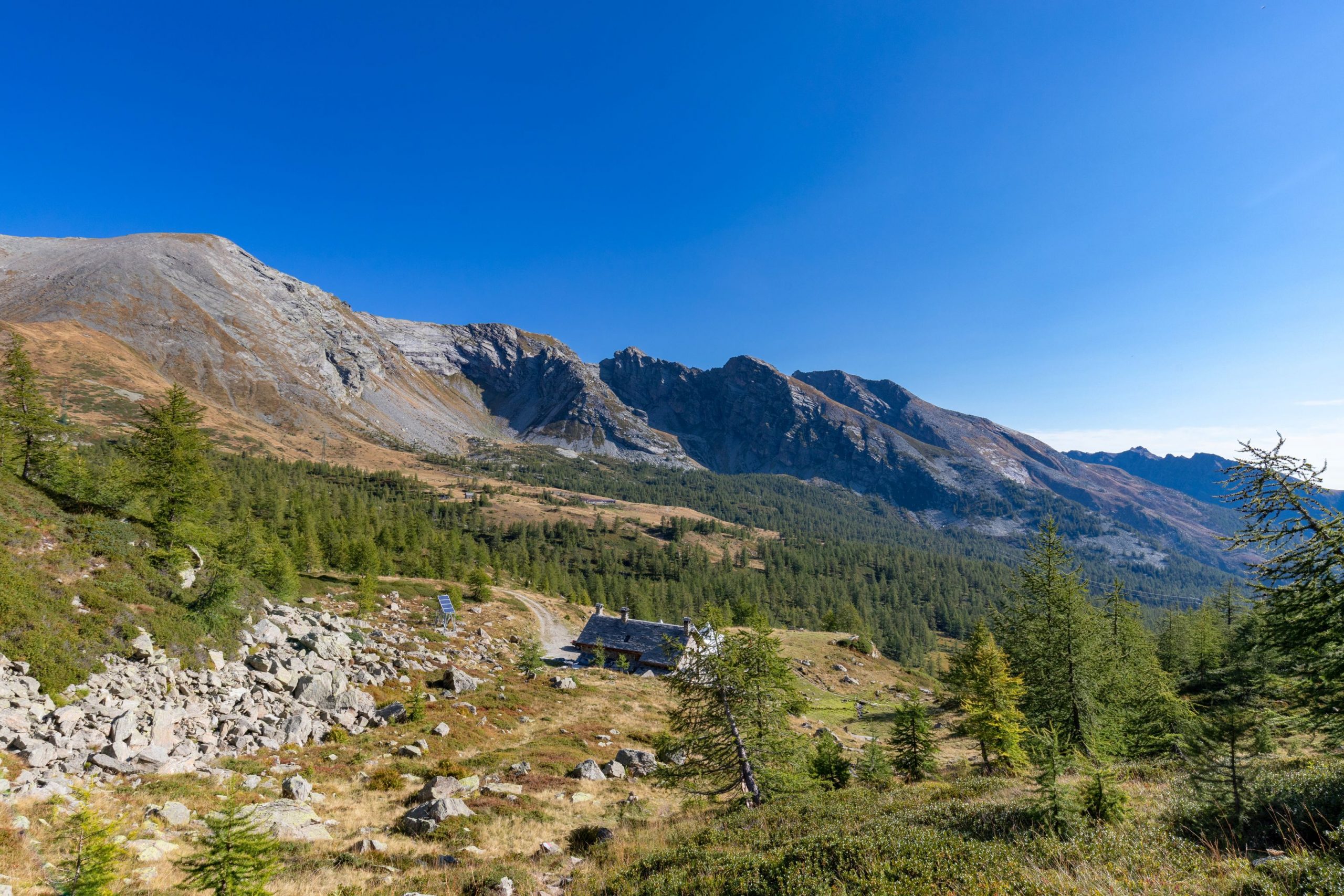
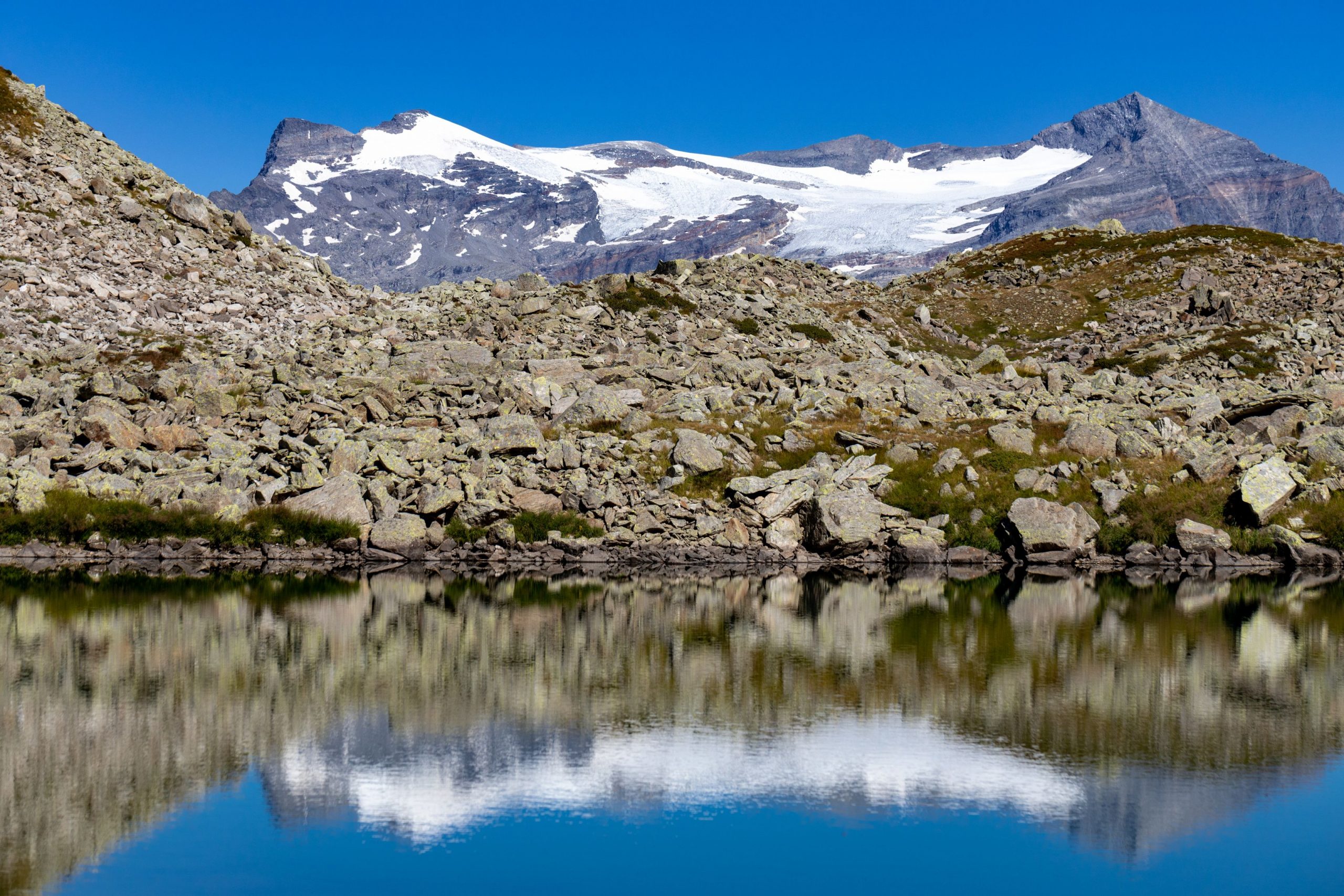
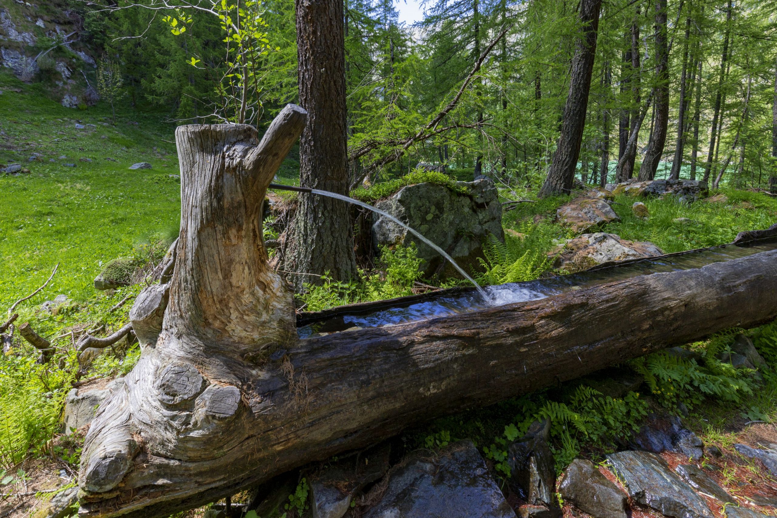
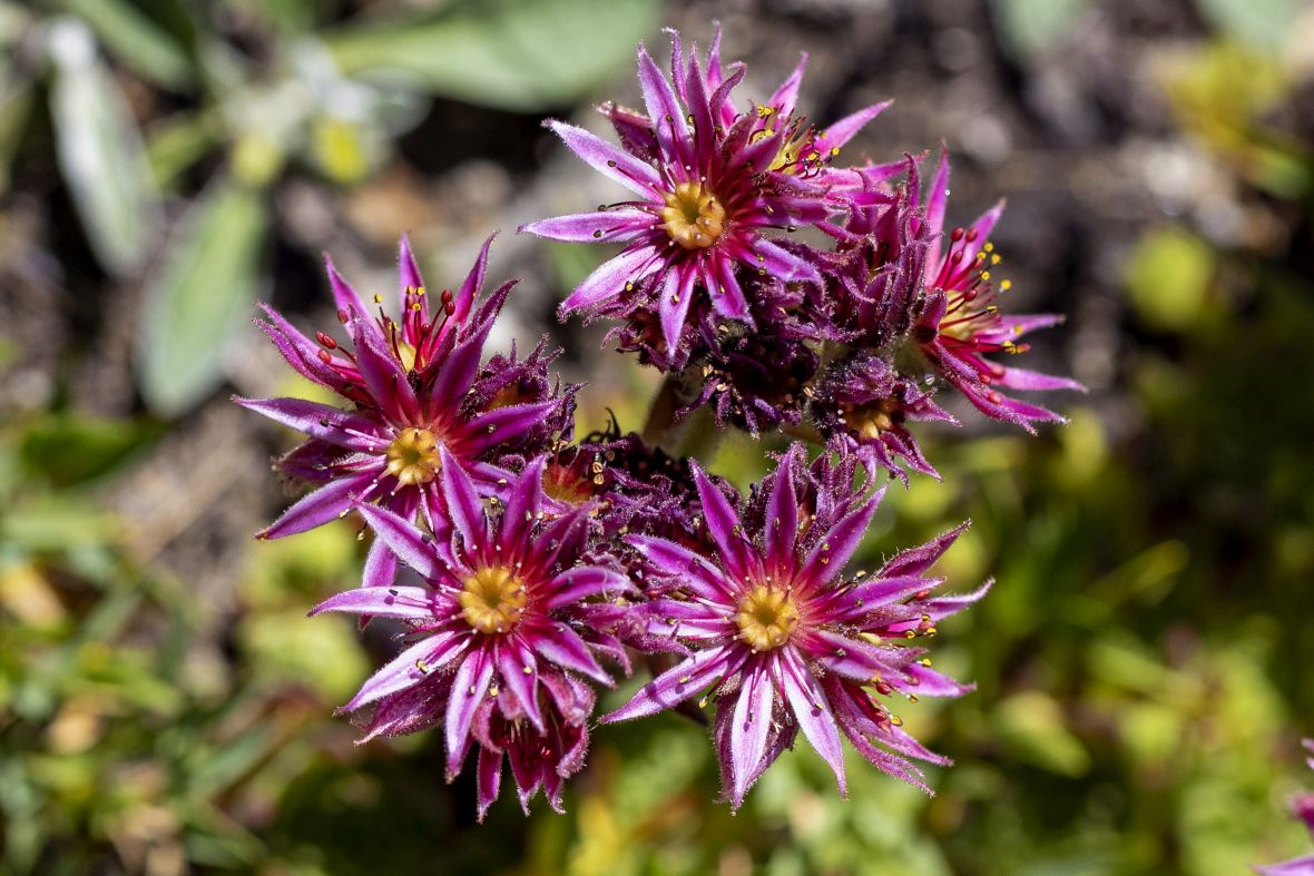
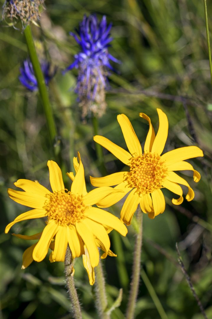
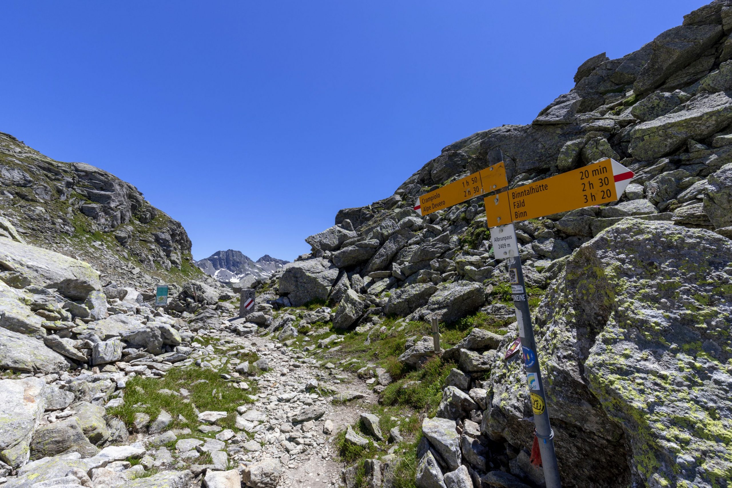
Alpi Veglia-Devero
Route description
The long route of the GTA in Piedmont, which is over 1000 km long, was split, also for practical reasons in terms of data download and management, into three large sections corresponding to the northern, central, and southern areas of the Region.
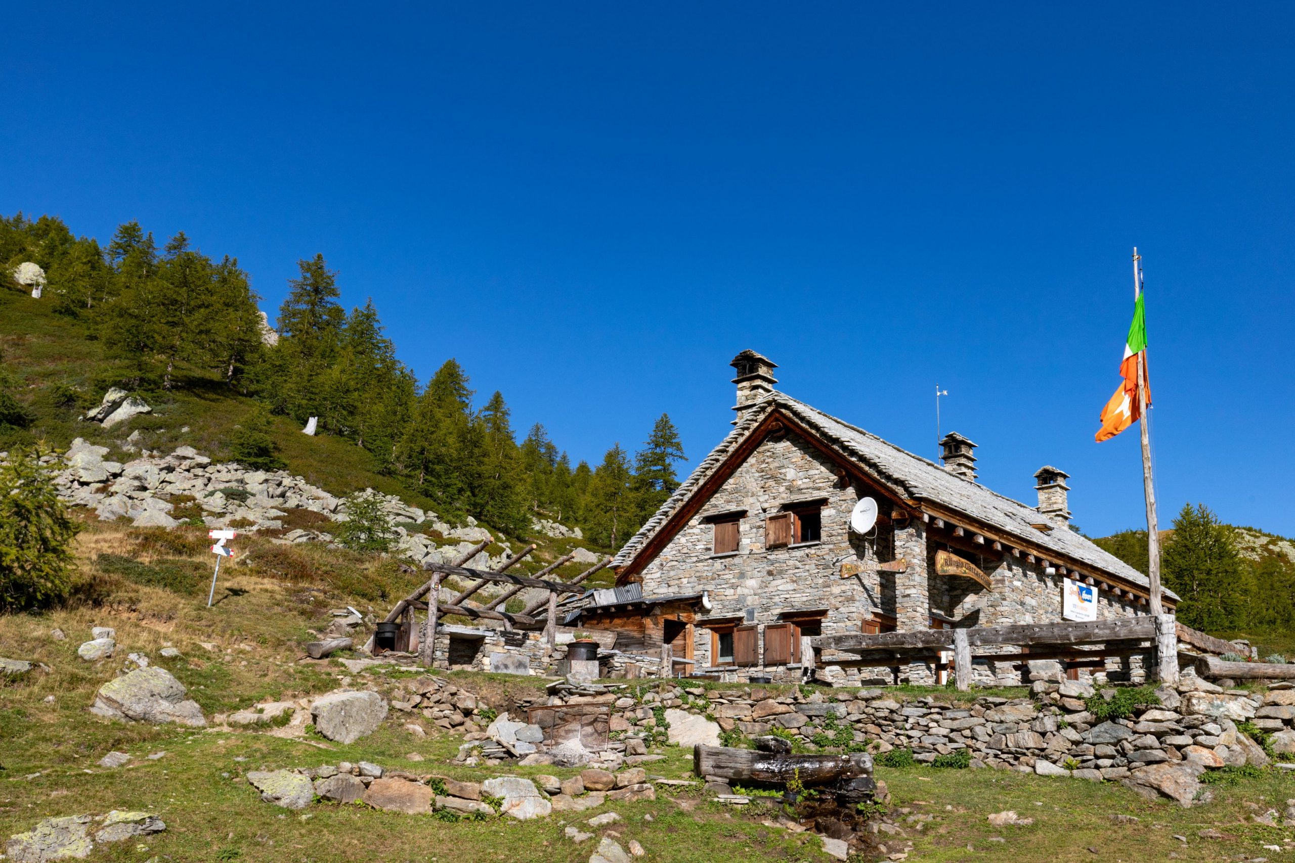
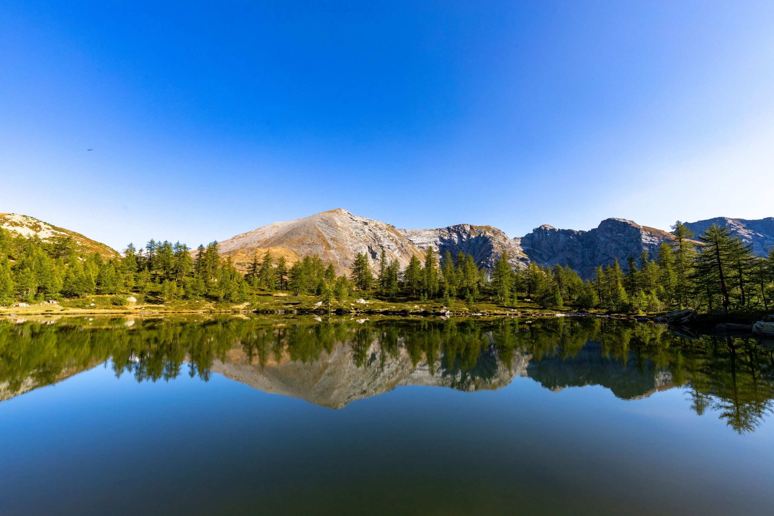
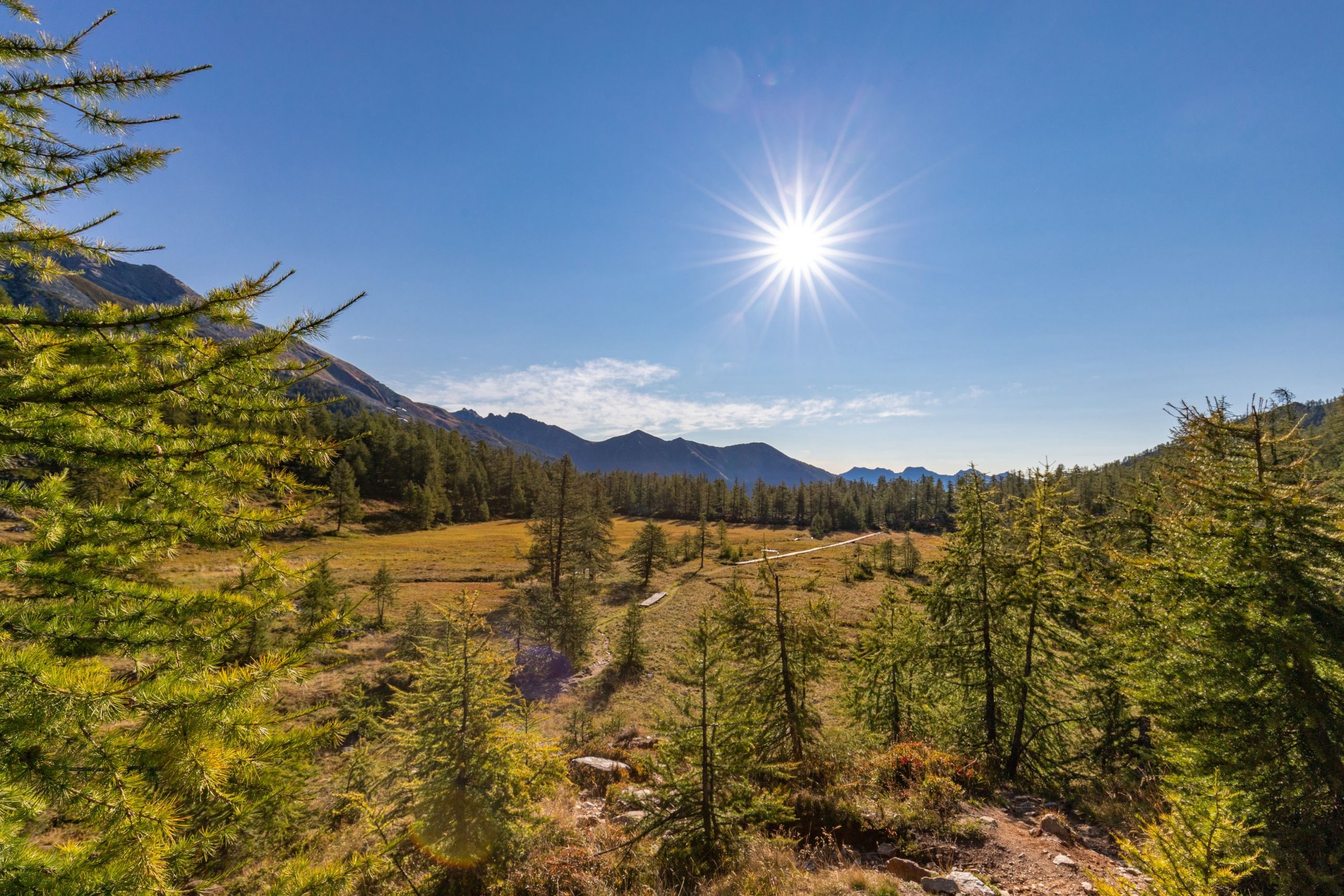
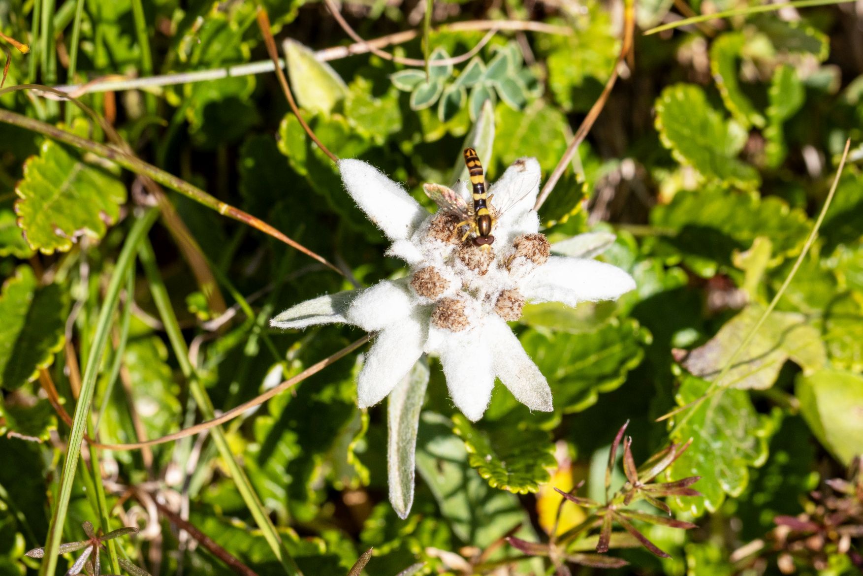
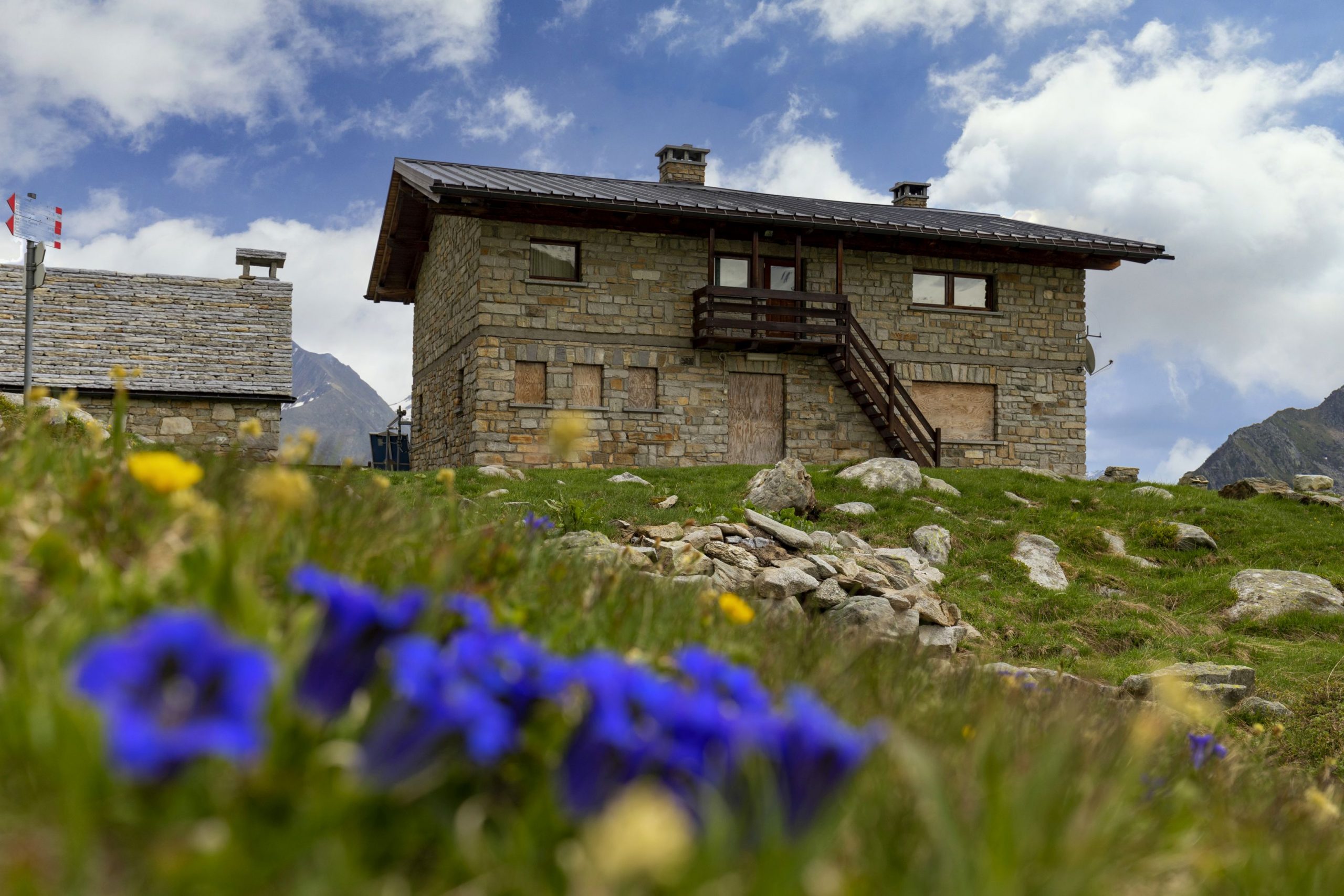
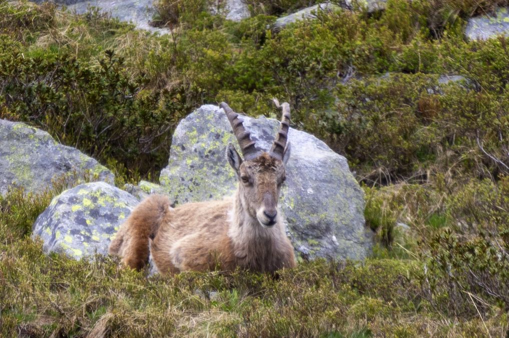
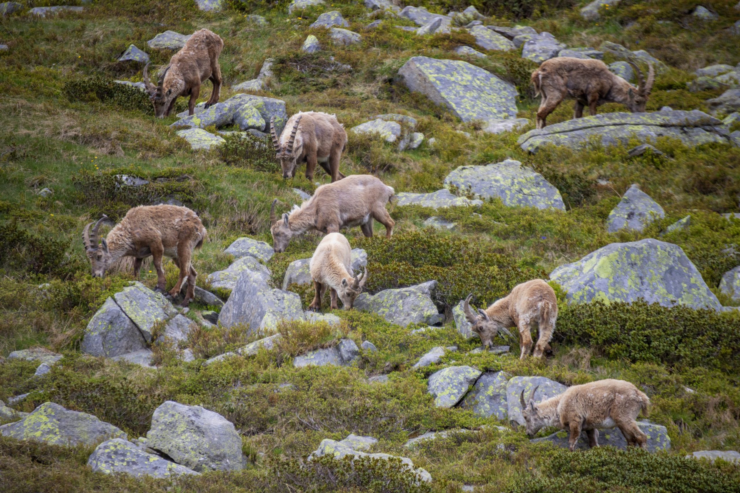
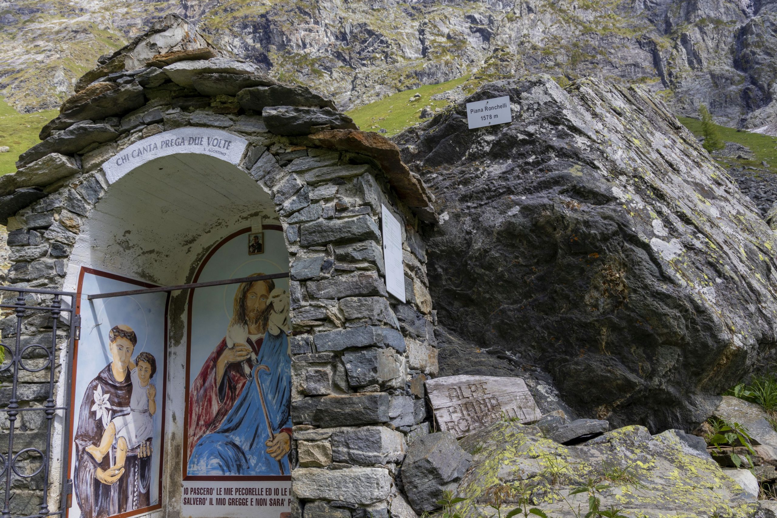
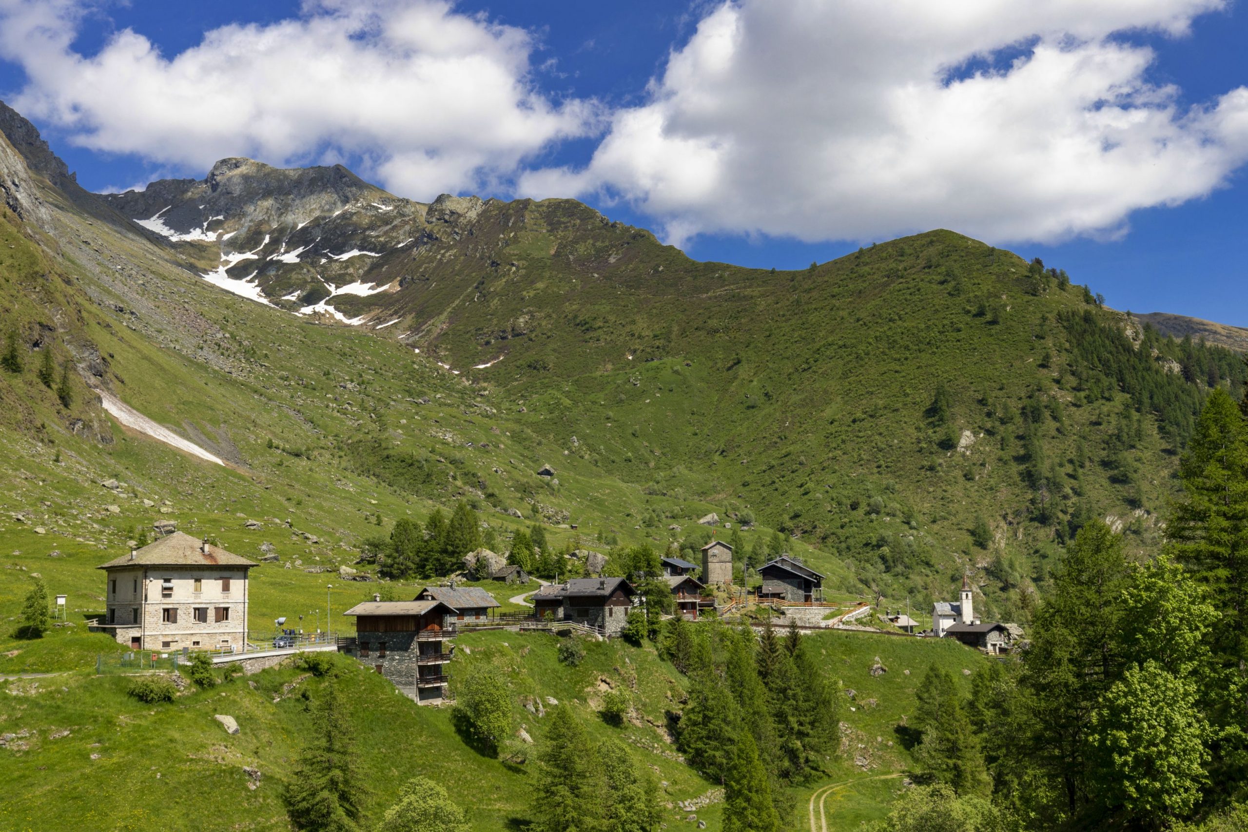
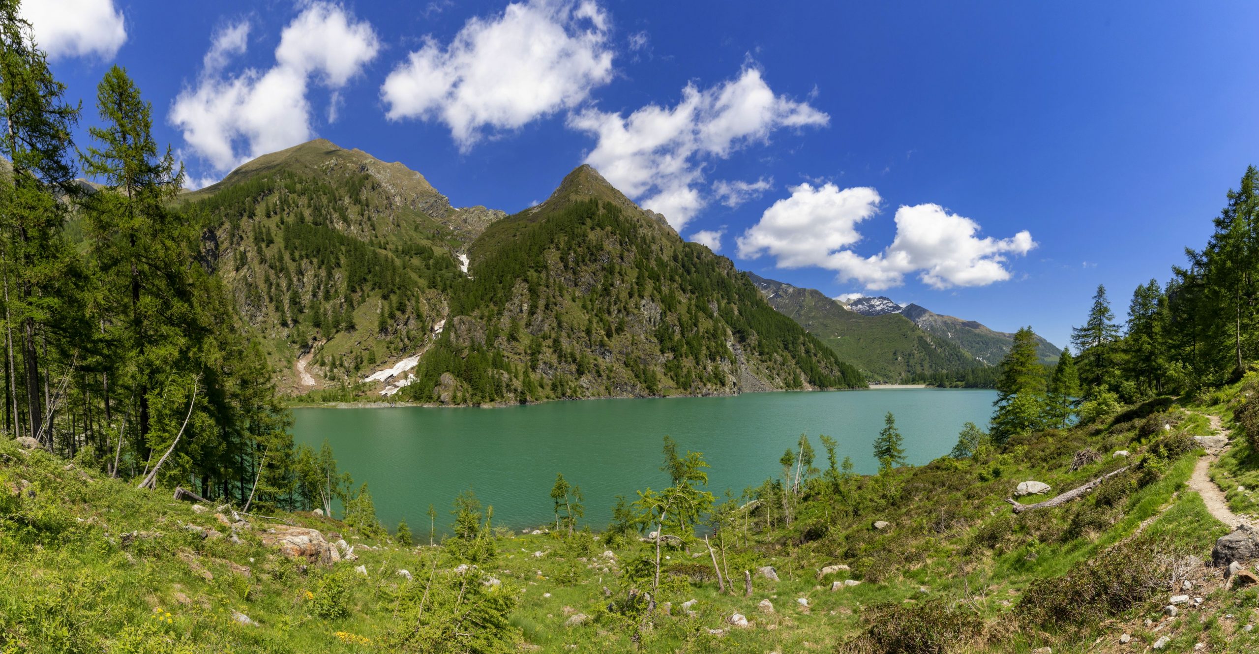
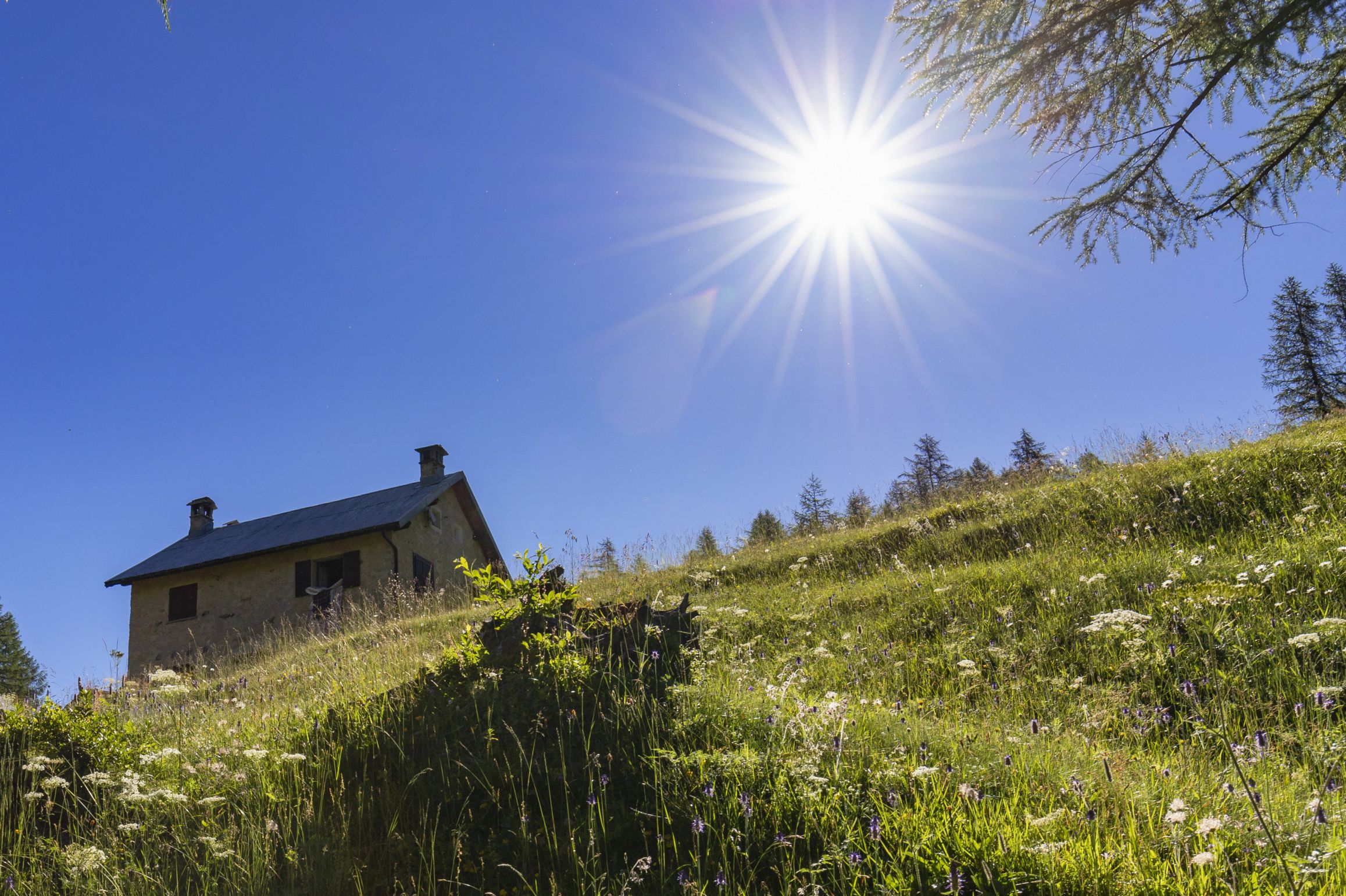
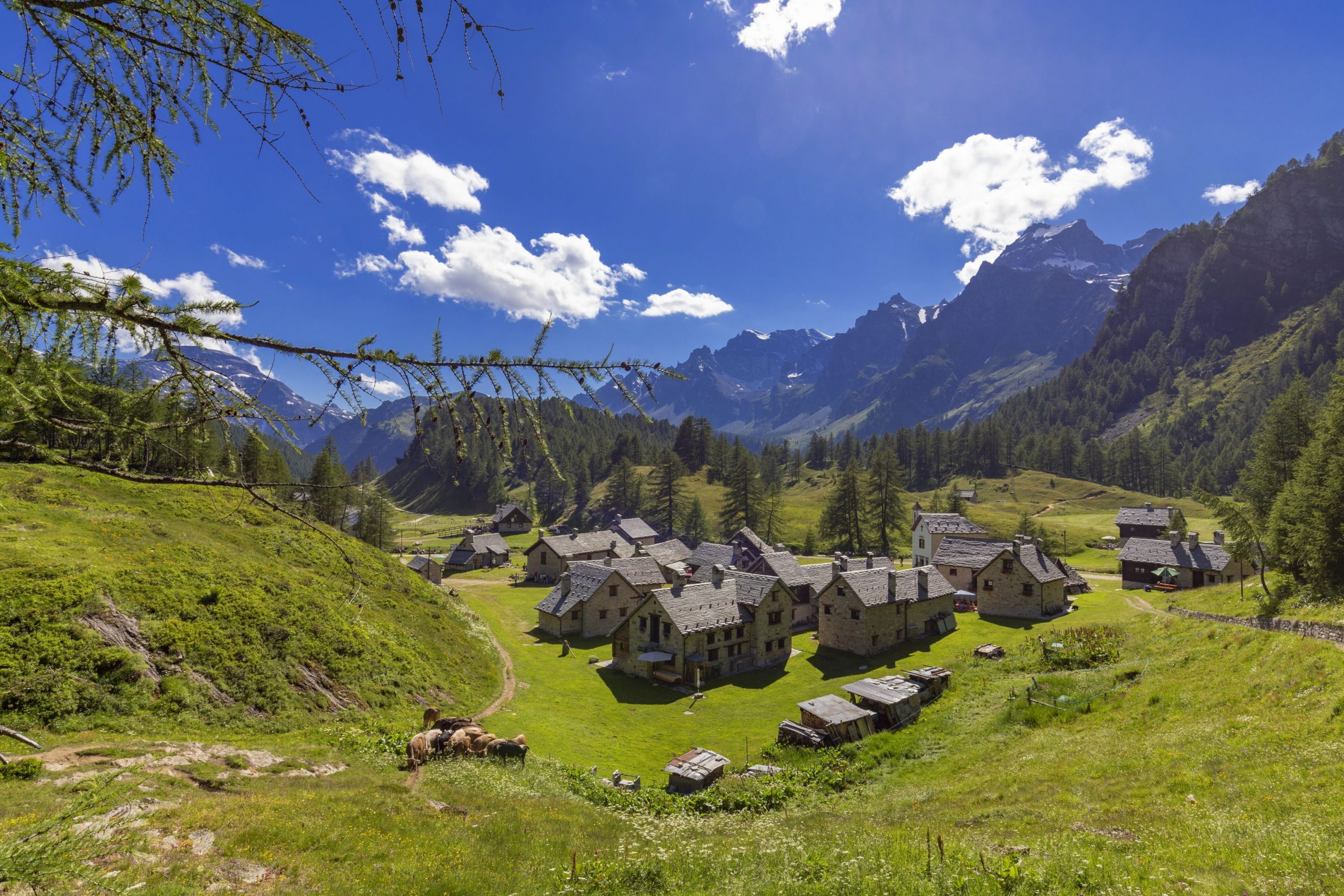
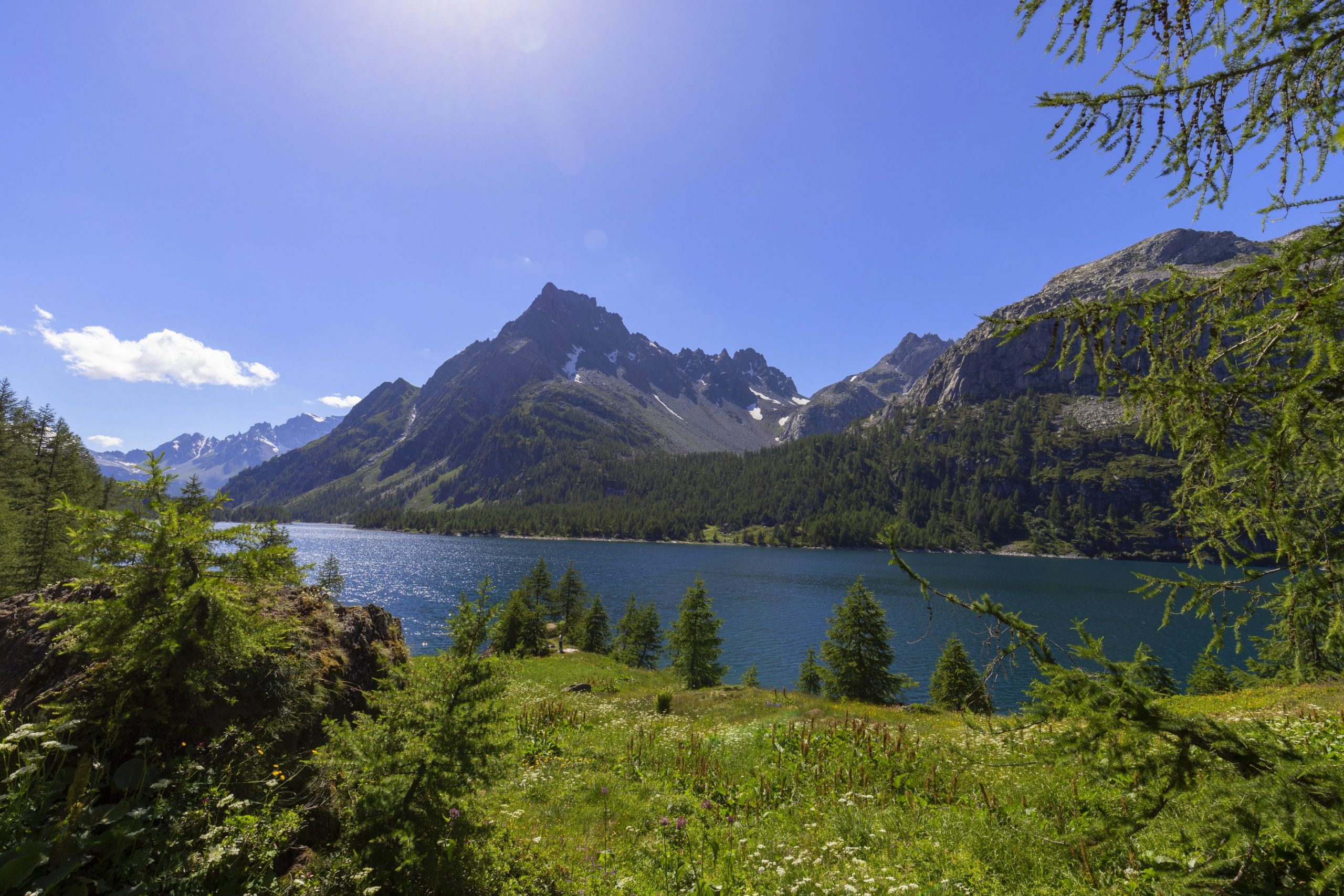
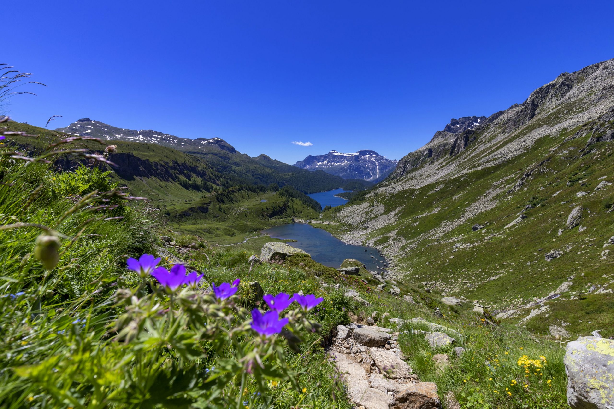
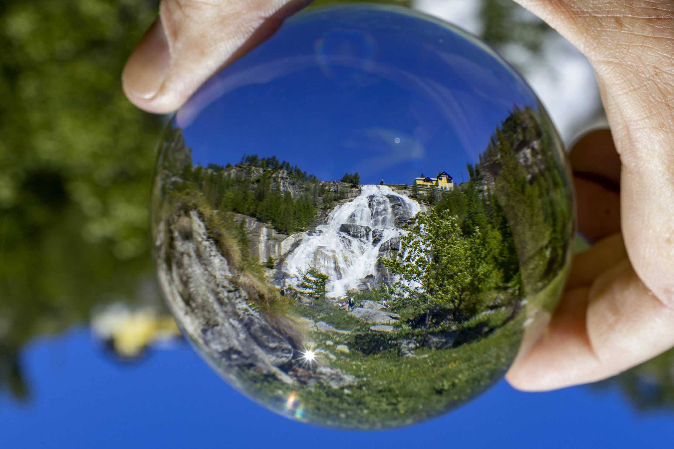
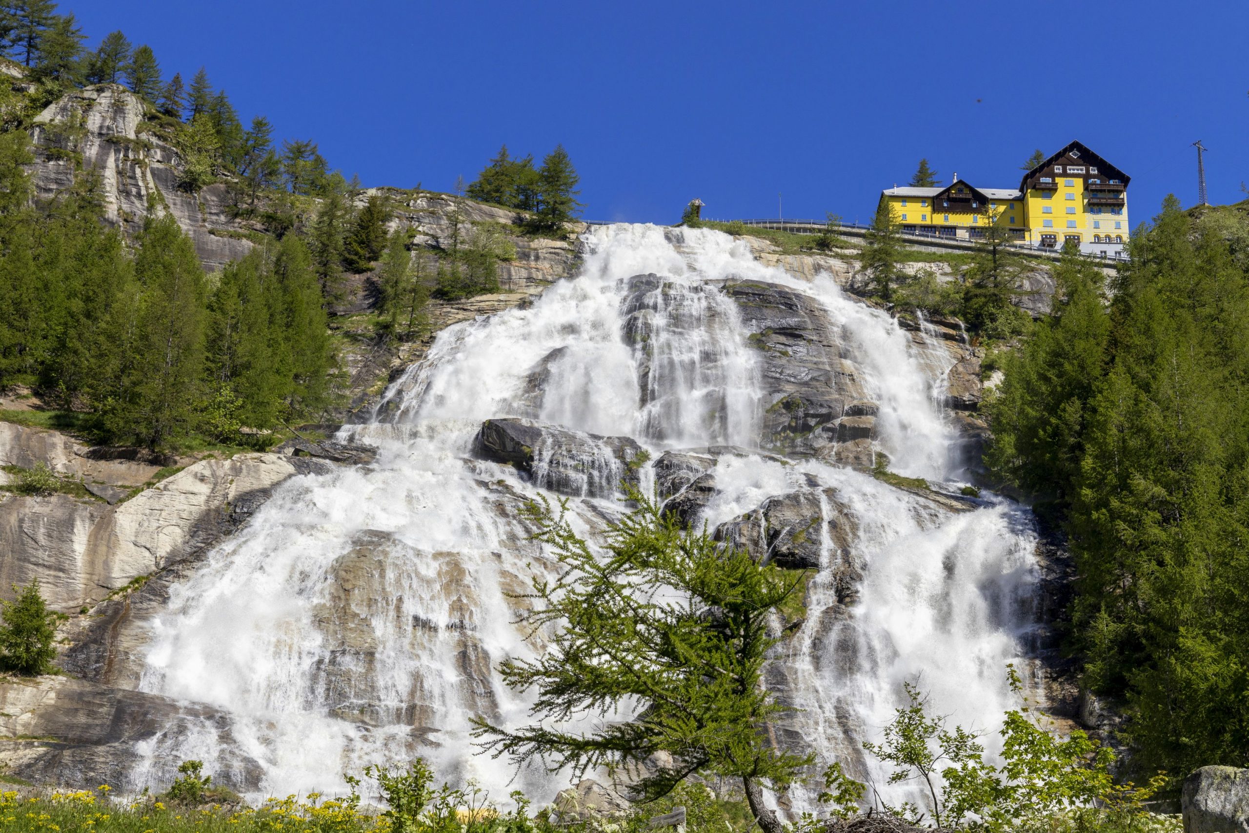
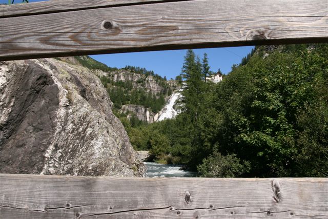
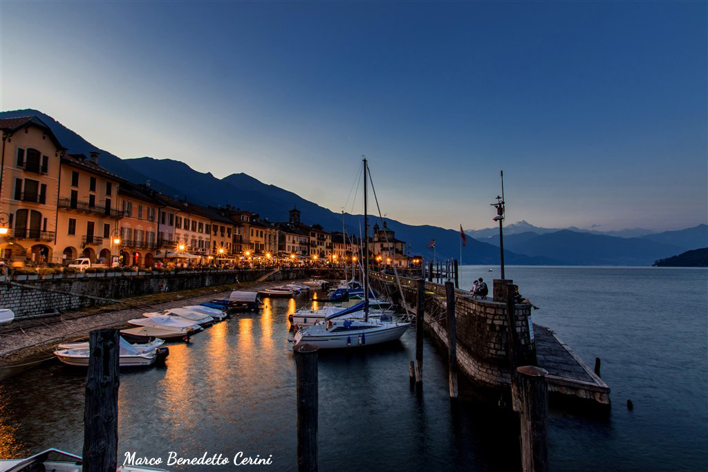
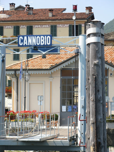
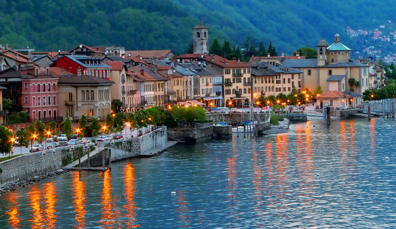
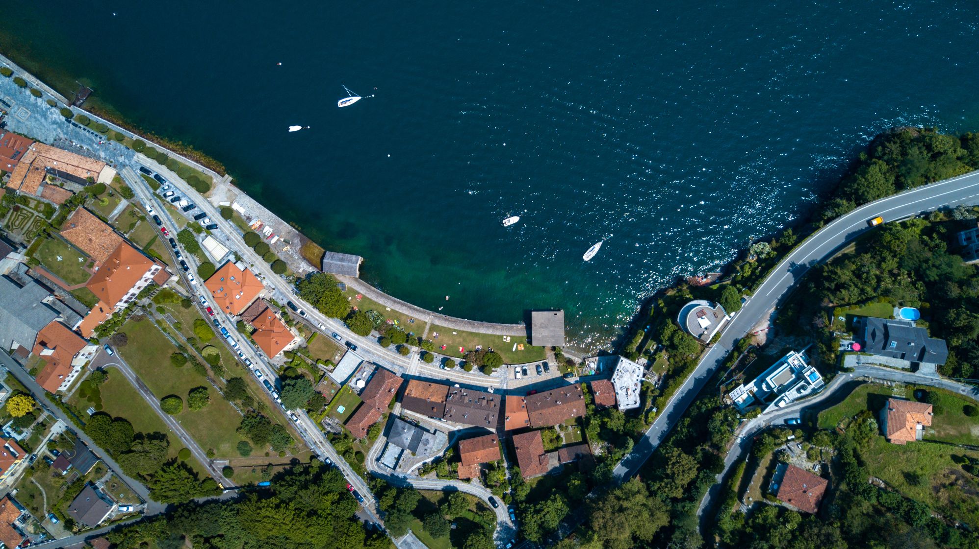
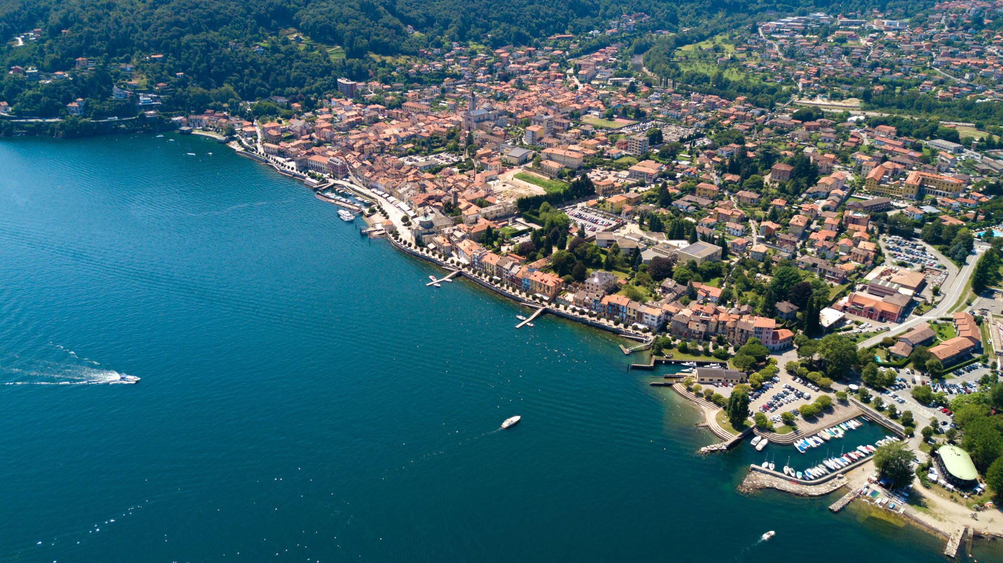
The north section starts from Cannobio on Lake Maggiore. It spans across a considerable variety of contexts of significant environmental and landscape value. The route climbs first northwards through the Swiss Maggia Valley or, as a variant, along the wild Isorno Valley heading towards the Formazza Valley, the extreme strip of Piedmont wedged between the Swiss cantons Ticino and Valais. From the hamlet of Riale, the northernmost point from which the roads to the nearby Swiss hills start, the long descent to the south begins, passing first of all through the enchanting plateaus of the Veglia and Devero Alps to then reach Varzo.
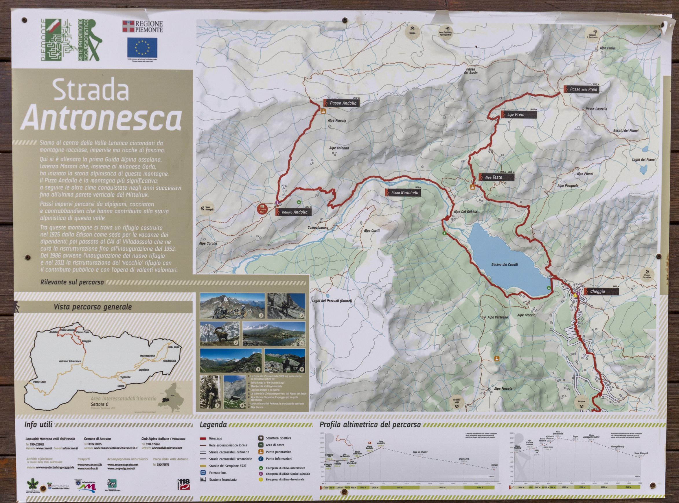
The route then leads to the nearby Bognanco Valley, where it splits. At this point, it is possible to choose whether to follow the main route that crosses the mid-low Antrona, Anzasca, and Sesia Valleys or to take the more challenging variant that crosses the high mountain stretch and rejoins the main route near Alagna Valsesia. From Alagna, the route leads to Riva Valdobbia and finally to the Biella area, where the central section of the GTA begins.
Info and stops: https://www.piemonteoutdoor.it/it/attivita/escursionismo/grande-traversata-delle-alpi-gta-tratto-nord-piemonte
Back to the list of routes