From Suna to Cannobio
FROM VERBANIA TO THE SWISS BORDER ALONG THE “VIA DELLE GENTI”
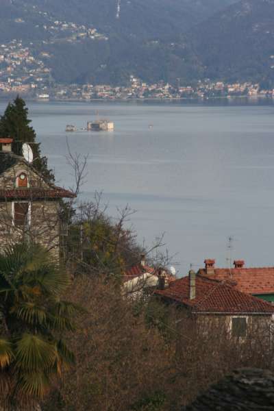
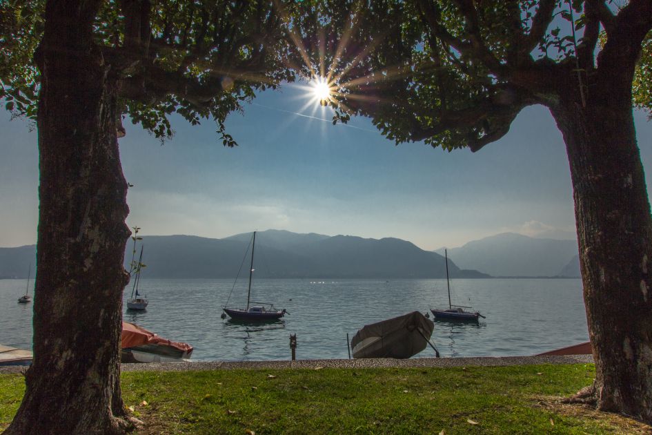
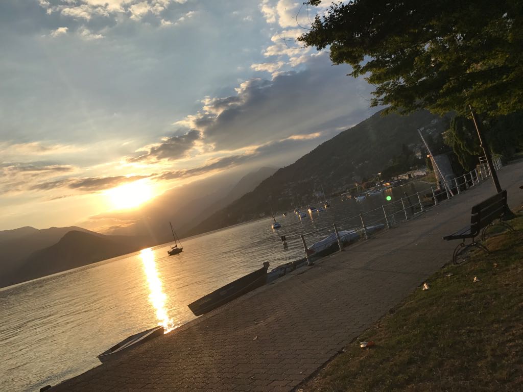
Lago Maggiore
Route description
Itinerary Description
The itinerary involves the historic “Via delle Genti”, an ancient road between the towns of the upper Verbano area and Switzerland.
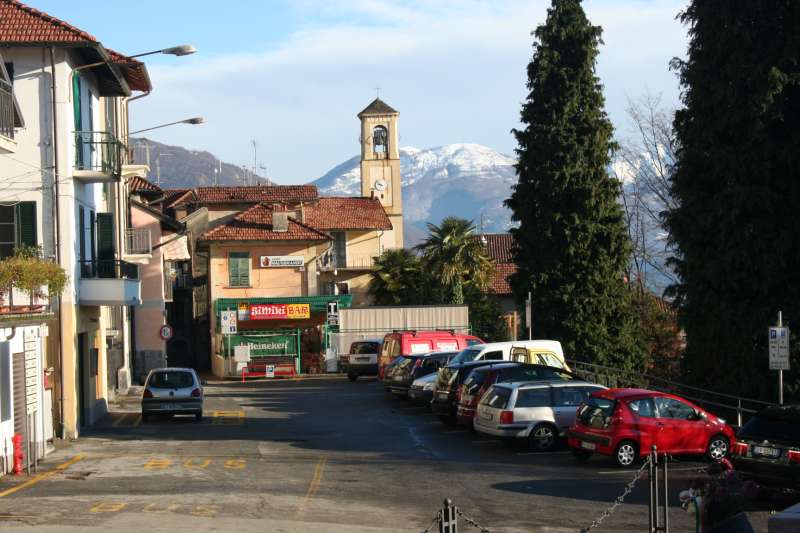
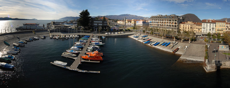
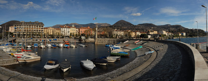
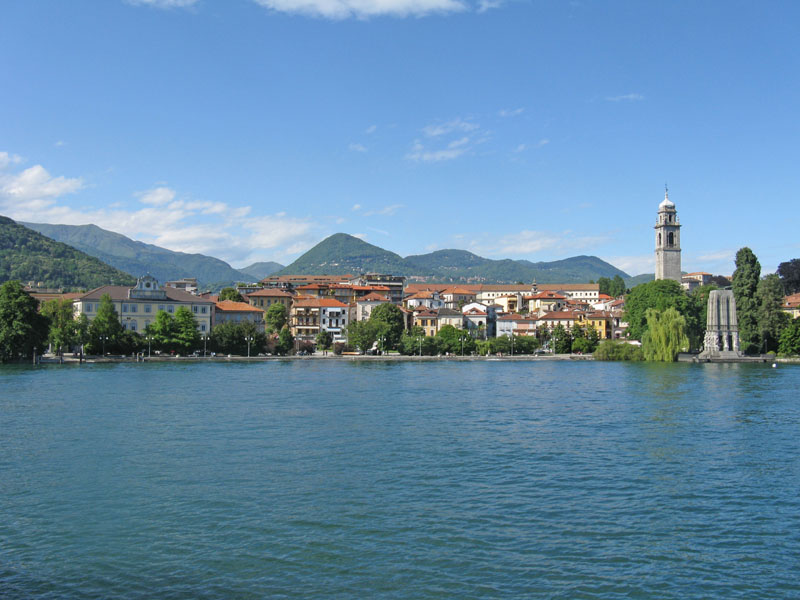
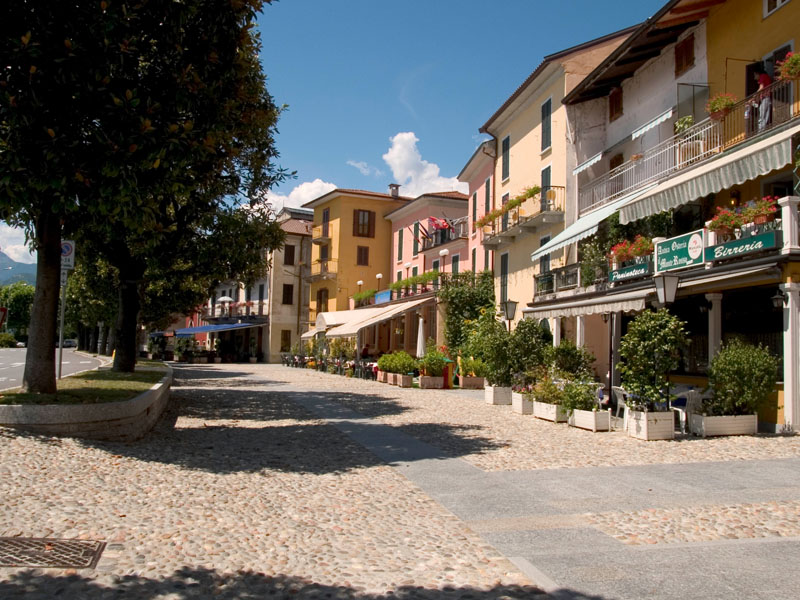
From Suna, we walk in the direction of Pallanza and take the bicycle-pedestrian path that leads to Intra, with its historical centre and the imposing bell tower of the Basilica of San Vittore.
After crossing the San Giovanni river, the trail rises towards Antoliva to arrive at Carpiano: here the trail continues for Bozzela, Frino and finally Ronco, places where the path climbs up to the slopes of Mount Carciago, and the Sacro Monte of the SS. Trinity of Ghiffa.
From the Sacro Monte, we descend towards Deccio. Deviating from the main path leading southward, we cross a secondary road and reach Novaglio, where we get back on the mule-track that leads to Comogno and finally to Oggebbio.
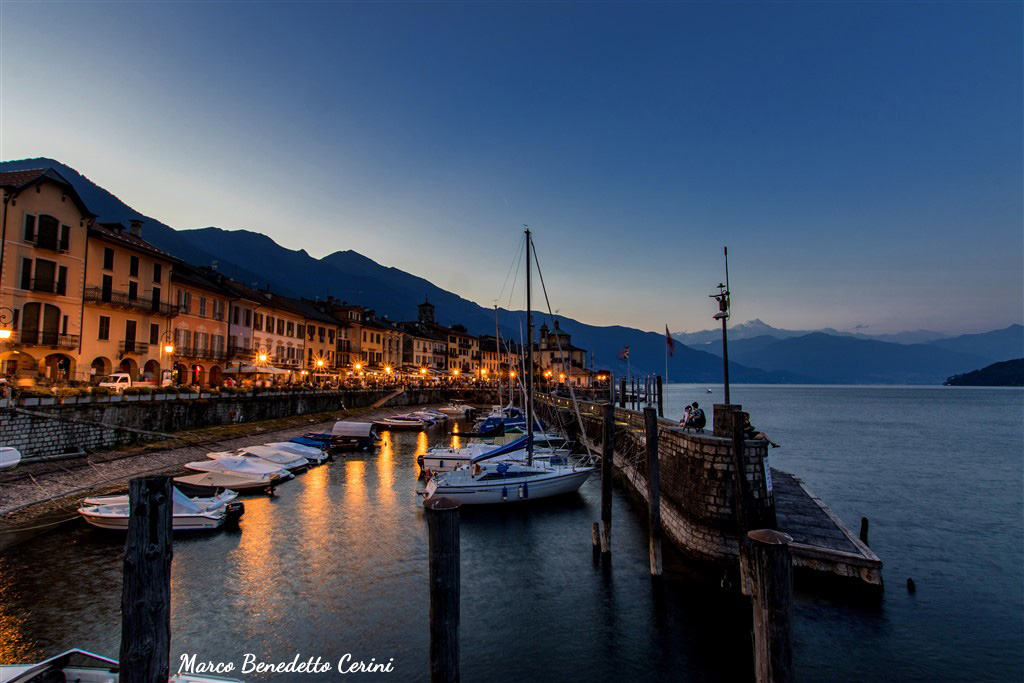
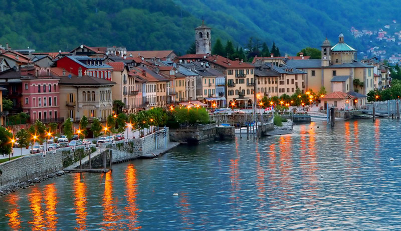
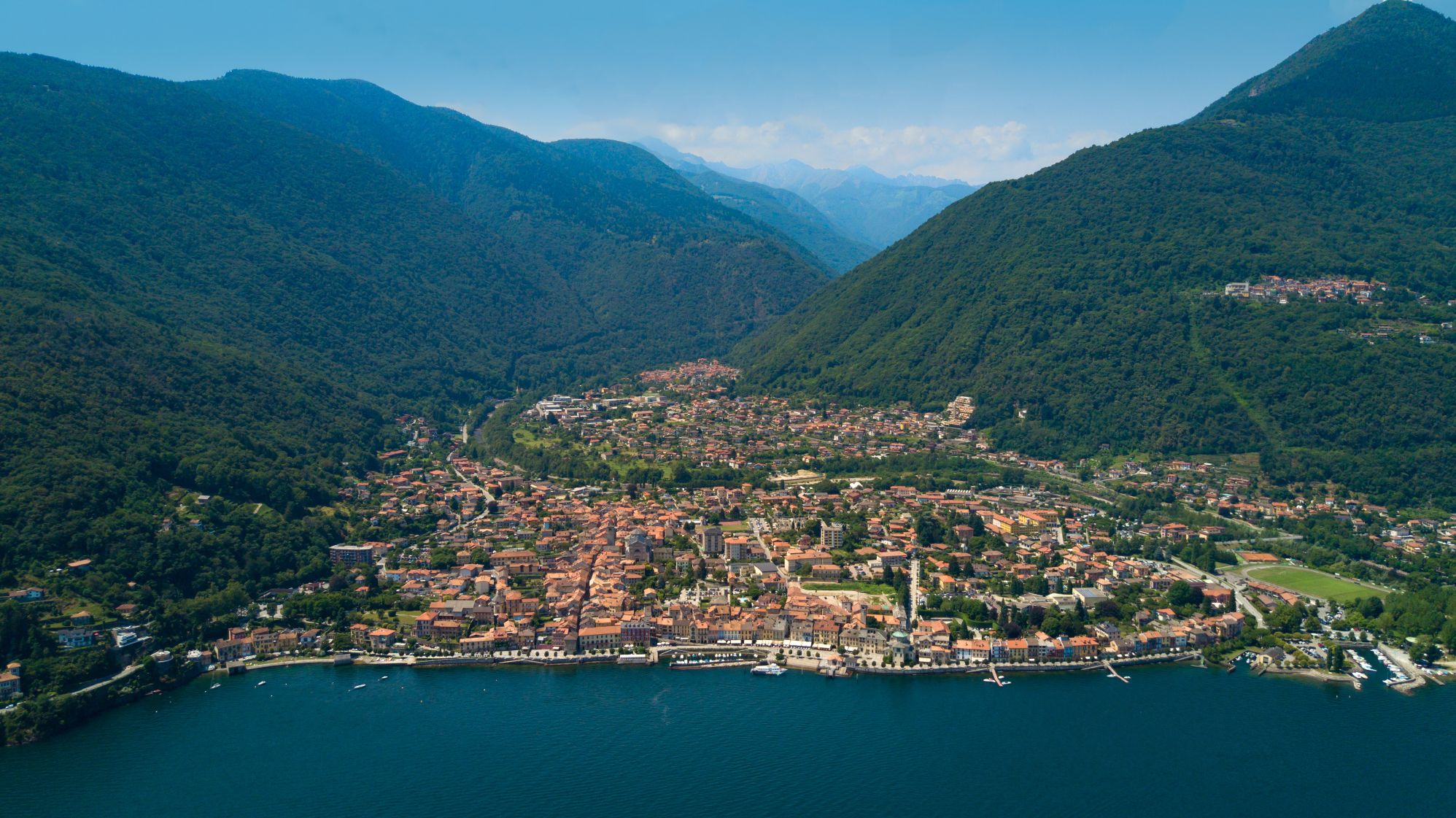
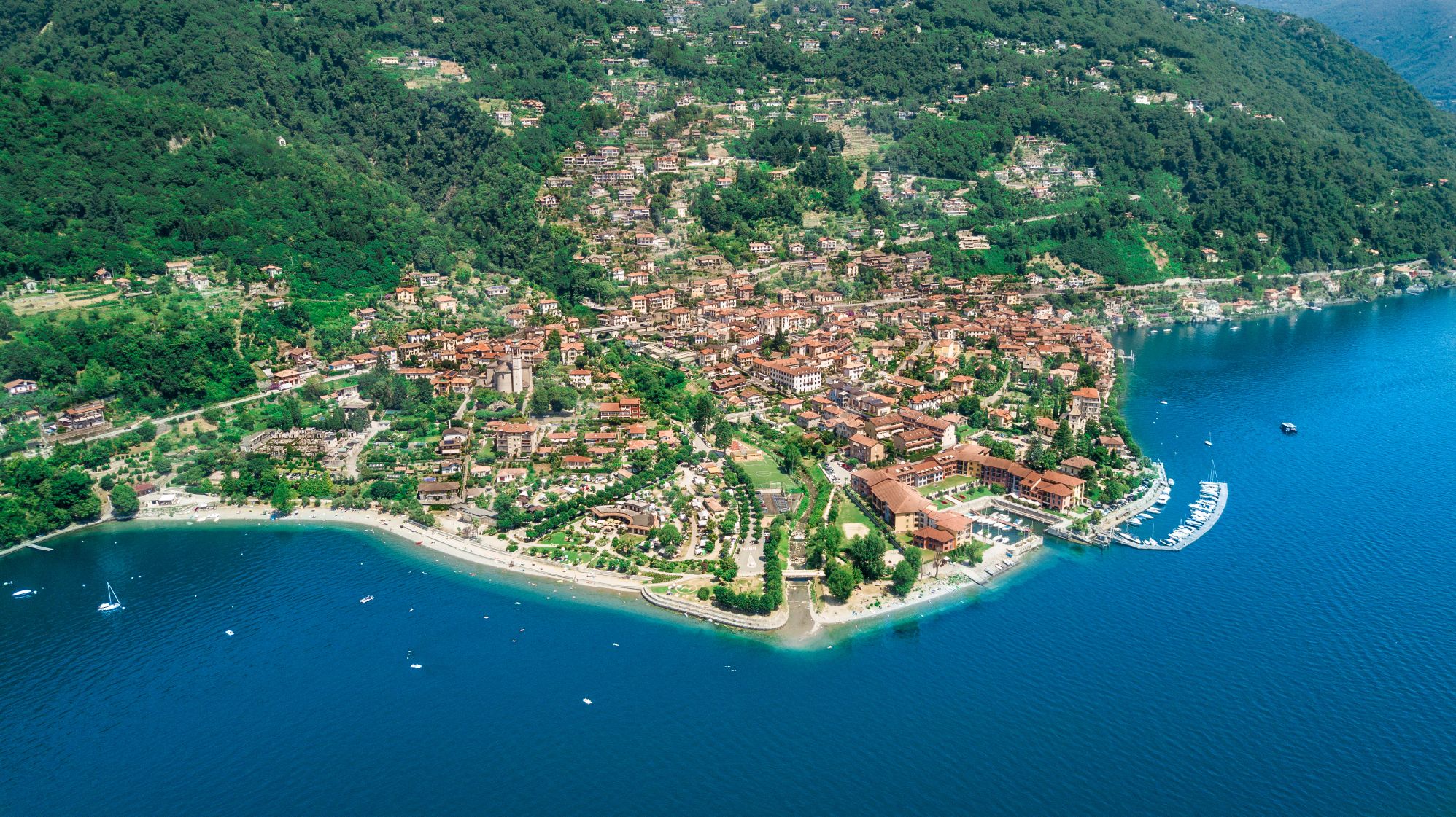
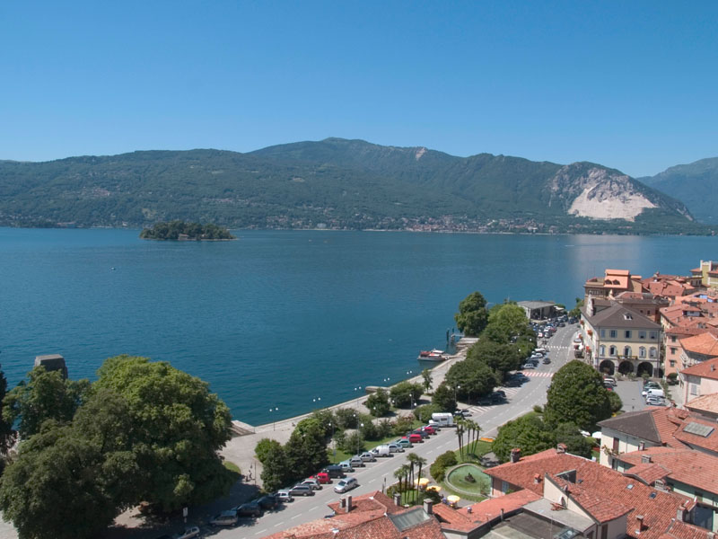
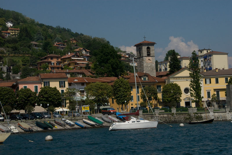
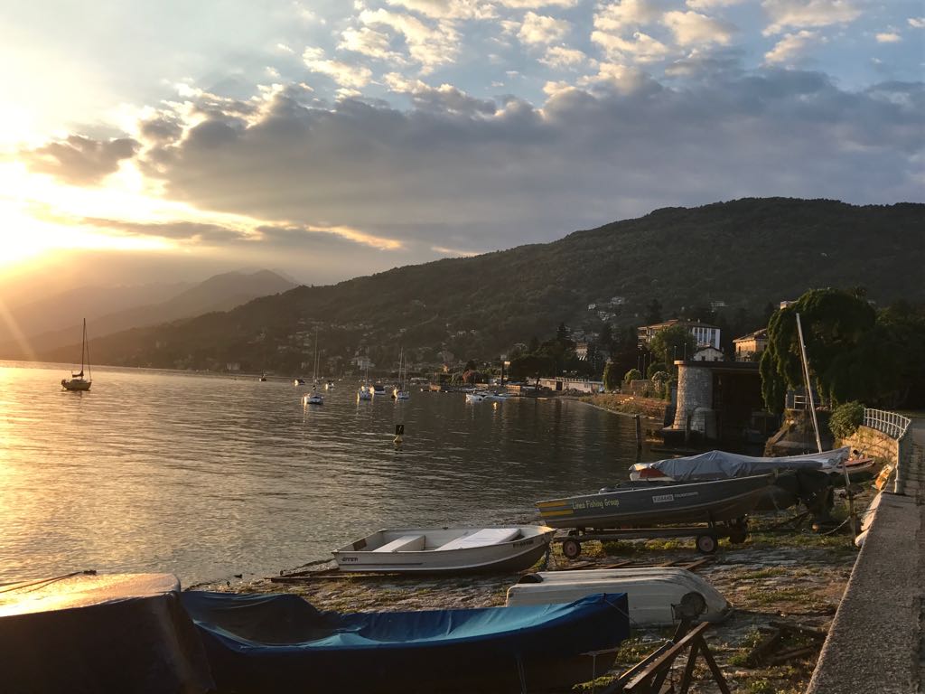
From here, the itinerary resumes halfway up the mountain, passing through Barbè and Cassino. We reach Cannero, whose mild climate and environmental characteristics make this town feel like a coastal location.
Leaving the inhabited centre, we take the ancient road for Switzerland, called “Via delle Genti” (Road of the Peoples), that winds through the woods and meadows, now overgrown with wild vegetation. We reach Carmine Superiore, with its church of San Gottardo. From this medieval village, we can even enjoy a wonderful view the Castles of Cannero .
Before continuing our excursion, we go to Viggiona – taking a mule track northwards – and thus discover the traces of the trenches of the Cadorna line.
Resuming the historic “Via delle Genti”, we reach Molineggi and descend to Cannobio, passing through Solivo. After crossing Cannobino, we continue towards Marchile and Formine: from here, we take a small detour northwards on a beautiful path through the chestnut trees to discover the Church of San Bartolomeo in Montibus.
POINTS OF INTEREST
Suna
Chiesa di Santa Lucia
Oratorio della Beata Vergine del Buon Rimedio
Torraccia medievale
Cappelle devozionali lungo i Sentieri del Monterosso
Cavandone
Chiesa Parrocchiale della Natività di Maria
Pallanza
Chiesa di Madonna di Campagna
Oratorio di San Remigio
Chiesa Parrocchiale di Santo Stefano
Chiesa Collegiata di San Leonardo
Palazzo di città
Villa Rusconi Clerici
Villa Taranto
Villa Giulia
Mausoleo Cadorna
Museo del Paesaggio
Intra
Basilica di San Vittore
Oratorio di Santa Marta
Chiesa di San Fabiano
Chiesa Evangelica Metodista
Casa del Lago
Palazzo Flaim
Ghiffa
Sacro Monte della SS. Trinità
Chiesa Parrocchiale di San Maurizio
Museo dell’Arte del Cappello
Oggebbio
Chiesa parrocchiale di San Pietro
Oratorio della natività di Maria (frazione Cadessino)
Chiesa di Sant’Agata (frazione Novaglio)
Villa Anelli (Gonte)
Cannero
Chiesa Parrocchiale di San Giorgio
Grotta della Madonna di Lourdes
Castelli di Cannero
Villa della Sabbioncella
Museo etnografico e della spazzola
Parco degli Agrumi
Oratorio di Santa Lucia (Piancassone)
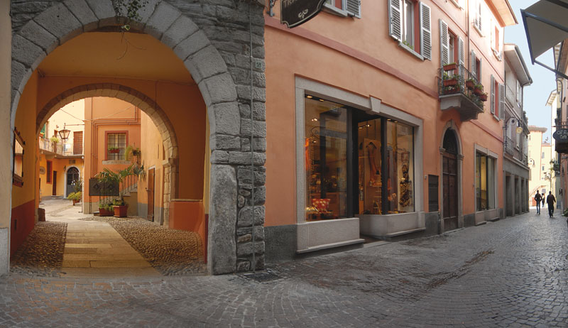
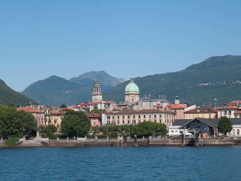
Cannobio
Santuario della SS. Pietà
Collegiata di San Vittore
Casa Pironi
Palazzo della Ragione
Chiesa di Sant’Agata
Chiesa di San Bartolomeo in Montibus
Orrido di Sant’Anna
FACILITIES
STRUTTURE RICETTIVE
TECHNICAL NOTES
LEGS: the journey is recommended in two legs: from Suna to Cannero Riviera (km), from Cannero Riviera to San Bartolomeo (15 km)
DIFFERENCE IN ELEVATION: minimum elevation of the itinerary: 204 m a.s.l.; maximum elevation 450 m a.s.l. See the map.
DURATION: from 3 to 6 hours for each leg
TYPE OF PATH: Hiking – MOSTLY DIRT roads but long stretches on asphalt
FOR MORE DETAILS
http://www.provincia.verbano-cusio-ossola.it
http://www.sacri-monti.com
http://www.distrettolaghi.it
http://www.sacromonteghiffa.it
http://www.cmverbano.net
Back to the list of routes