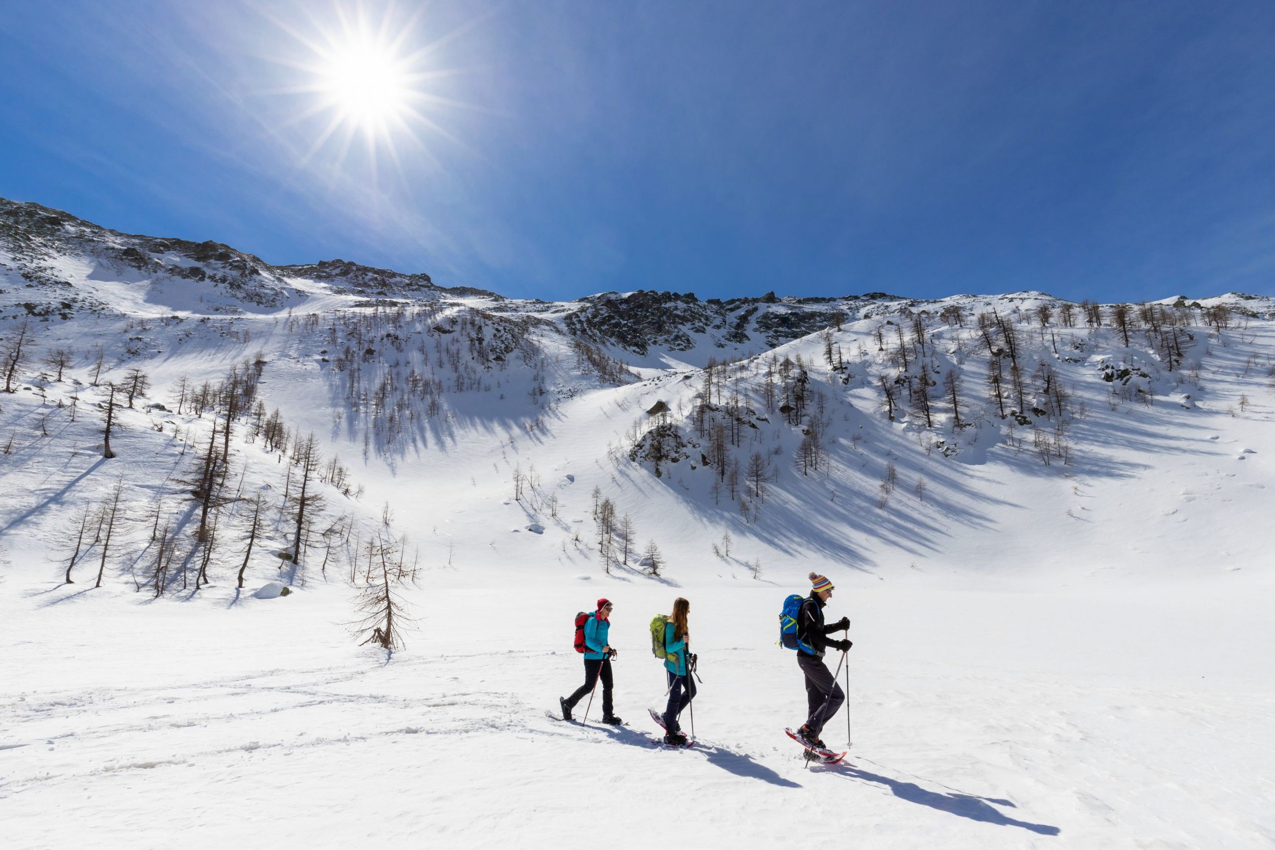
A loop trail with a variety of grandiose landscapes ranging from dense forests to enchanting glades, passing three cosy lodges
TOUR OF REFUGES IN BOGNANCO VALLEY
Route description
A loop trail with a variety of grandiose landscapes ranging from dense forests to enchanting glades, passing three cosy lodges
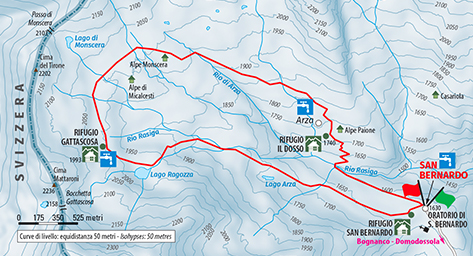
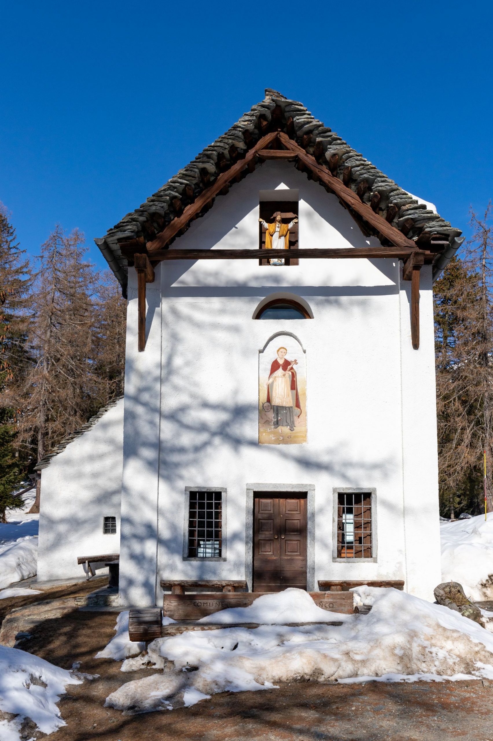
Place of departure and arrival: Bognanco, Loc. San Bernardo – Oratory (1625 m.)
Maximum altitude: 2020 m.
Minimum altitude: 1600 m.
Height difference: Approx. 450 m in total
Distance: 8 km in total
Travel time net of stops: 4 hours in total
Signage: white/red signs
How to get there: 16 km from Domodossola. From Domodossola, follow the signs for the municipality of Bognanco along Strada Provinciale 68, then continue along the municipal road until reaching San Bernardo.
The itinerary:
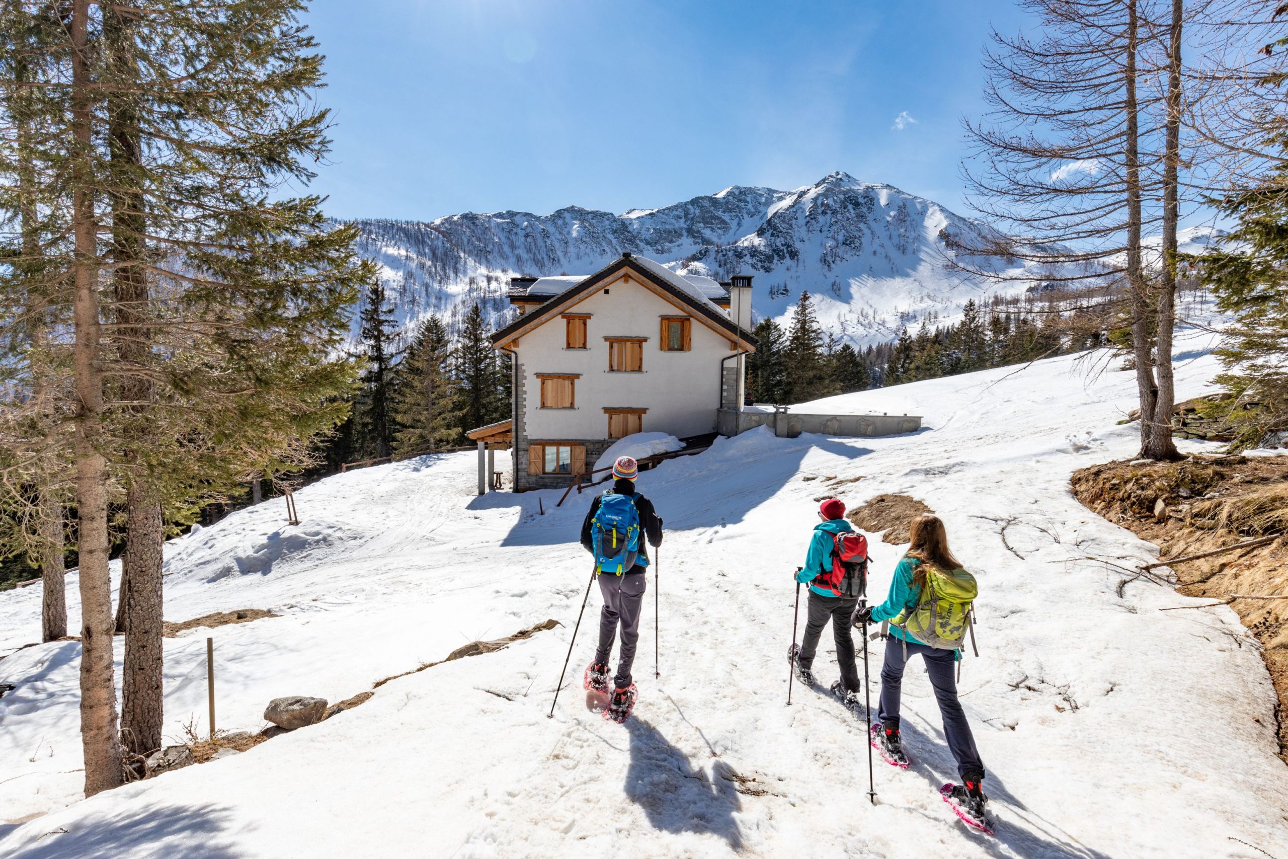
From the road, continue past the beautiful white oratory dedicated to San Bernardo, and shortly afterwards turn left (signpost “Rif. Gattascosa”) and gradually climb uphill to the first of the three refuges on the itinerary: the San Bernardo refuge.
Go past it and continue straight ahead along the wide track (signpost “Rif. Gattascosa”), which climbs steadily but gradually through the dense woodland.
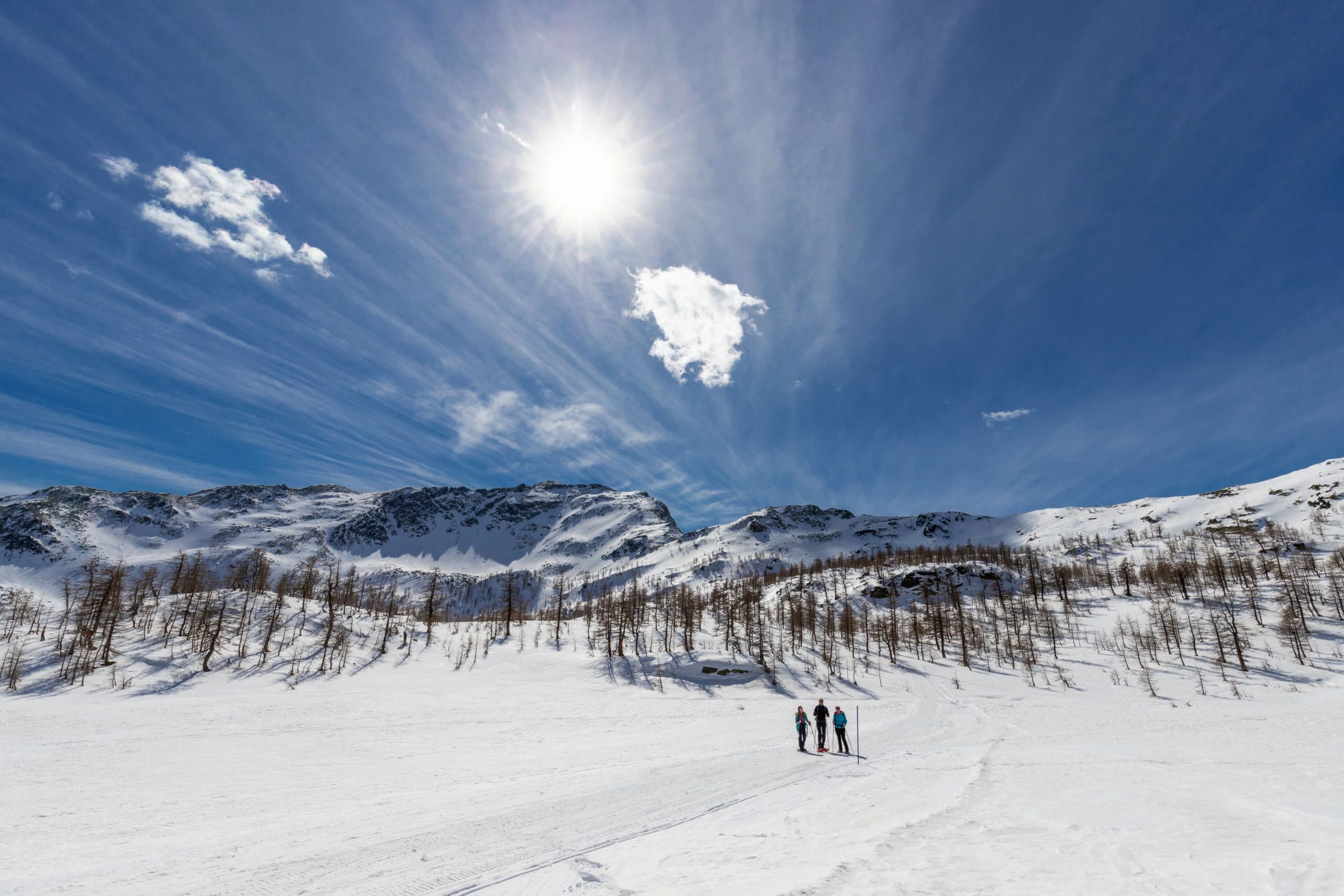
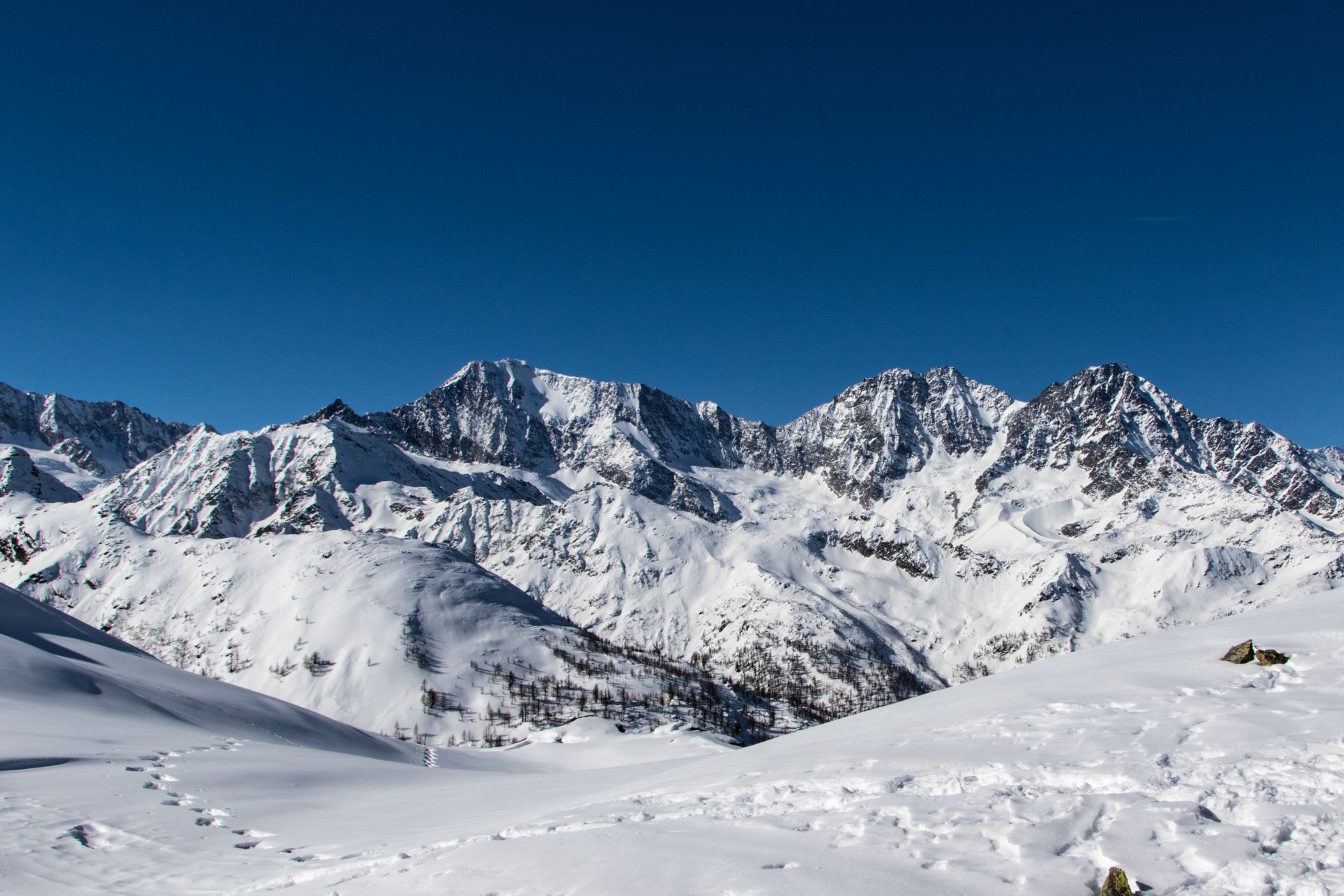
After half an hour’s walk, the trail climbs steeply and with some difficulty, leading to a wide plateau, which is a peat bog in summer and a Great Northern clearing in winter.
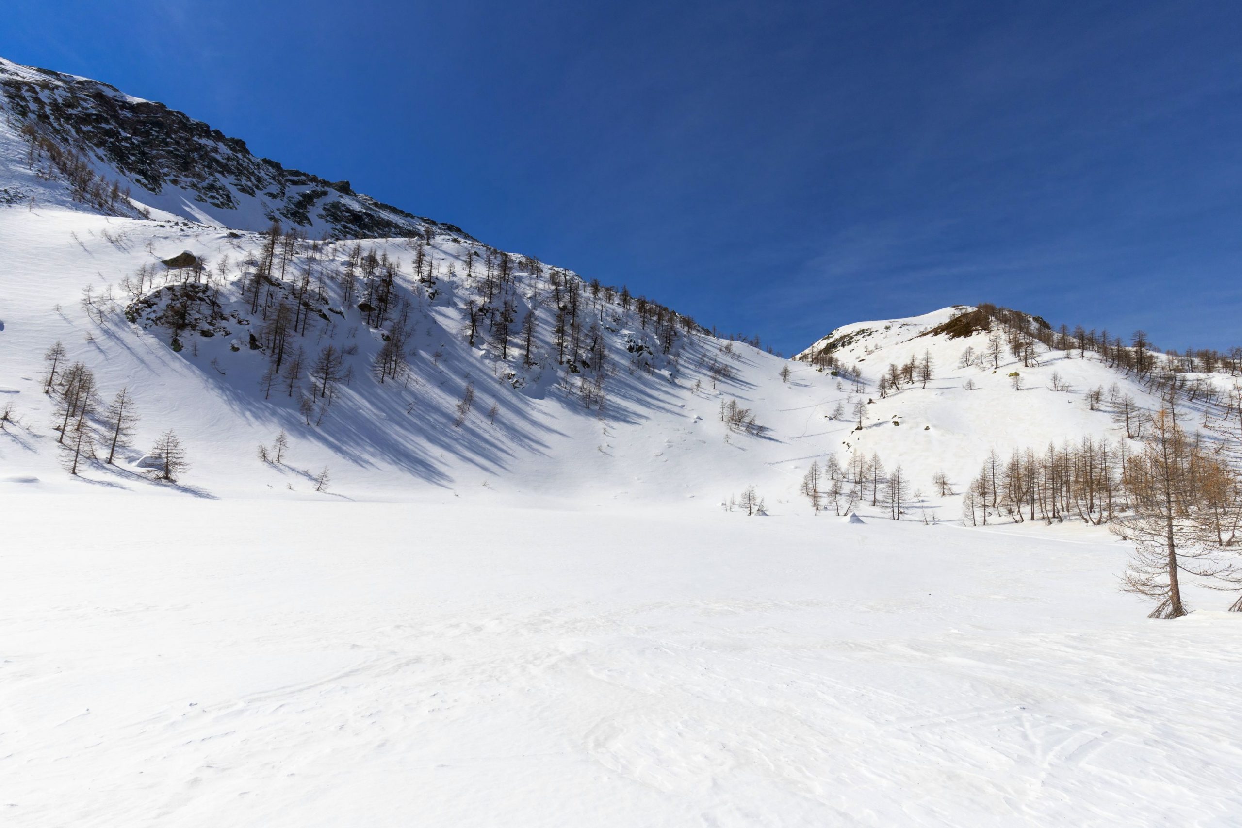
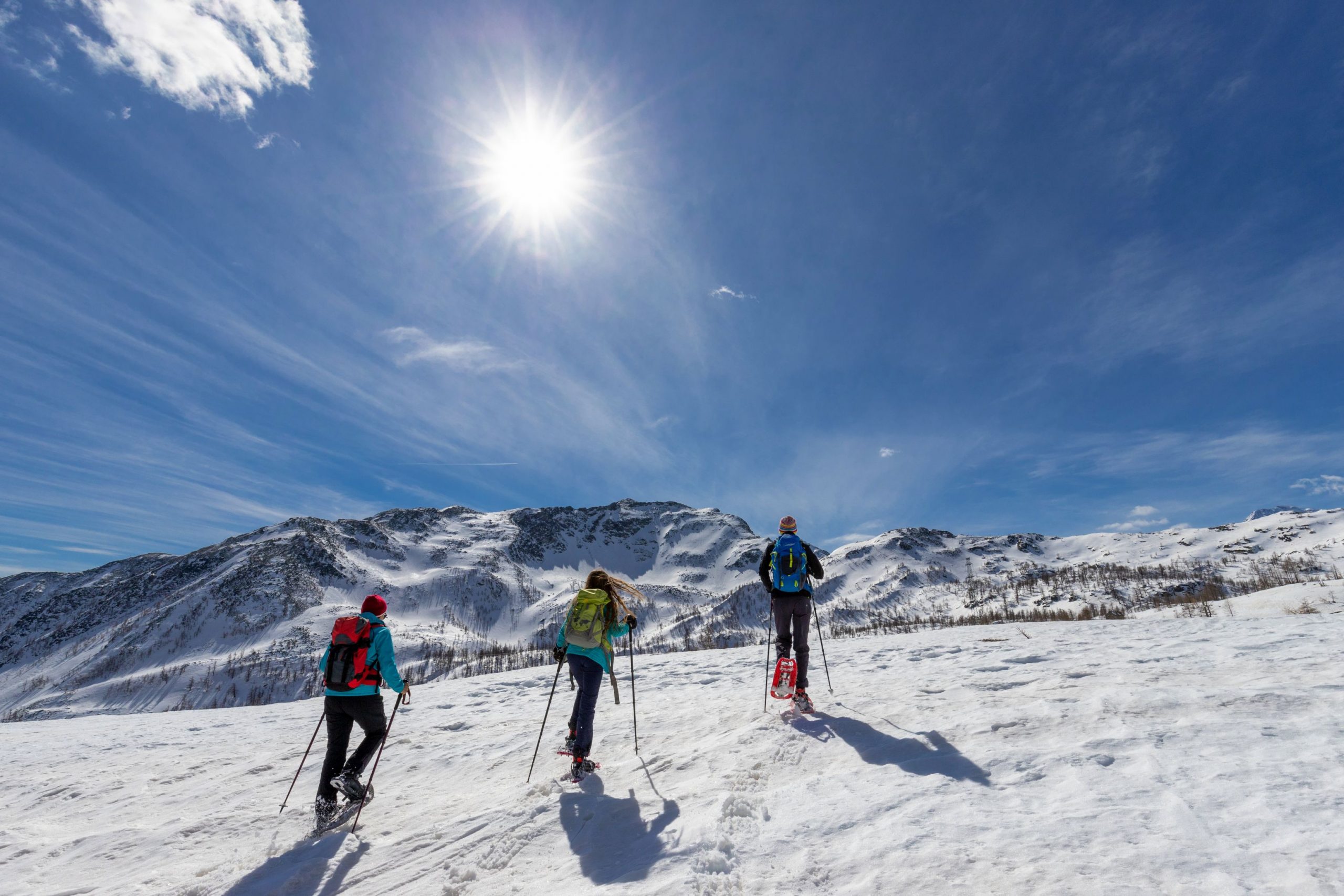
Cross the clearing completely and start climbing again, again quite steeply. The trail bends slightly to the left, enters into a small valley and leads to the plateau where Lake Ragozza is located, completely submerged in snow.
A last stretch of ascent, now a little more gradual, leads to the second refuge: the Gattascosa, in a panoramic position over the basin that has just been climbed.
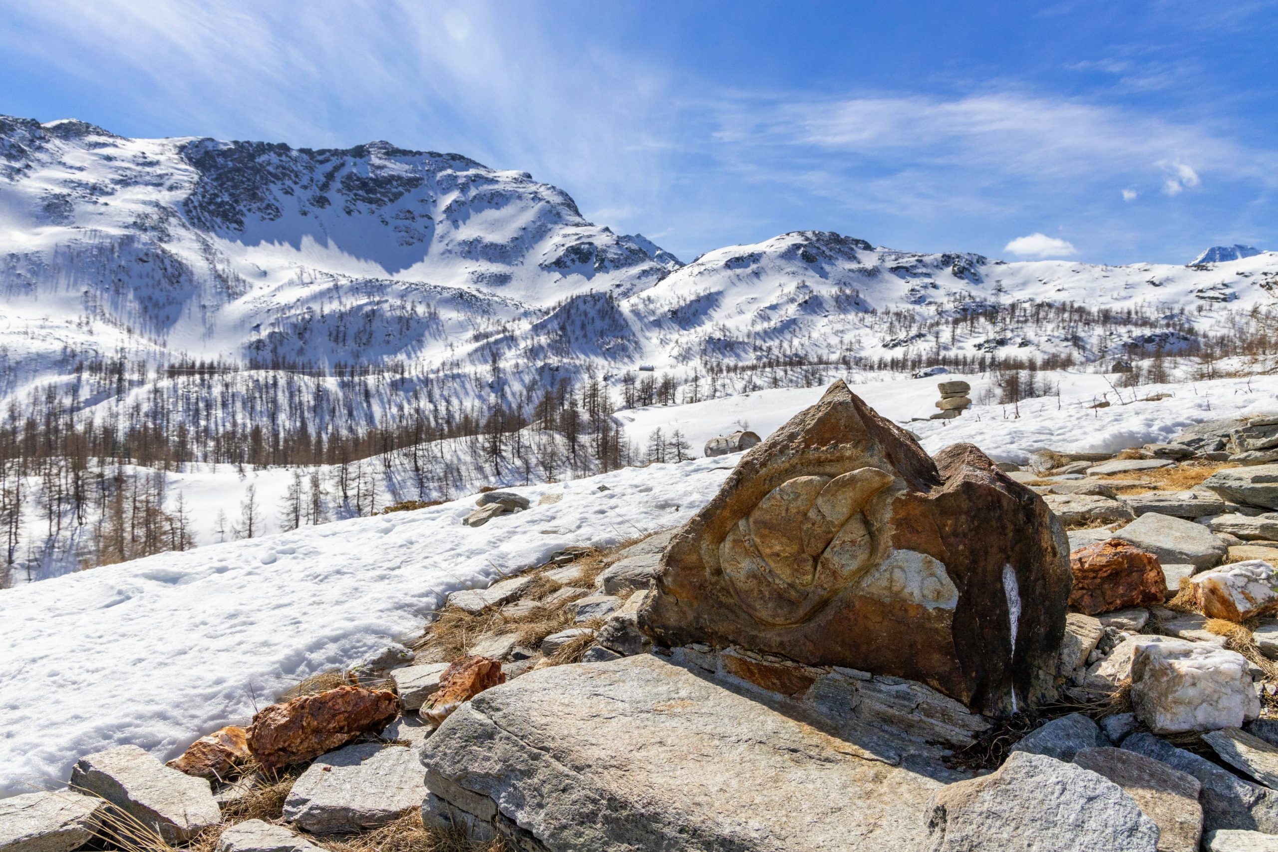
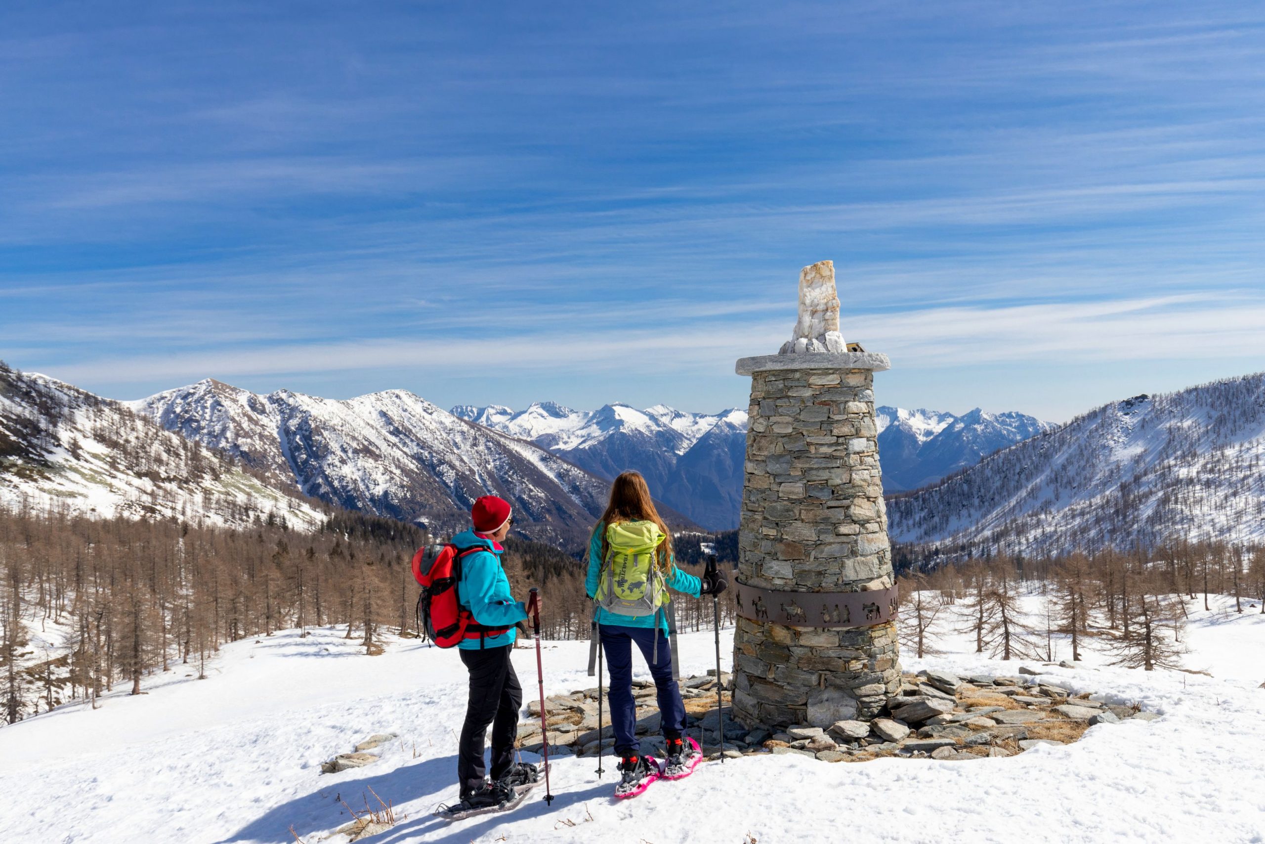
Continue past the lodge (blue posts) with a short ascent and descent to reach a further plateau that opens out at the foot of the Colle di Monscera. Cross it, keeping to the right (signs “Alpe Paione”), on a slight slope, following the tracks and the sparse blue posts, and then climb slightly uphill, passing just above Alpe Monscera and arriving at the obvious milestone in a panoramic position.
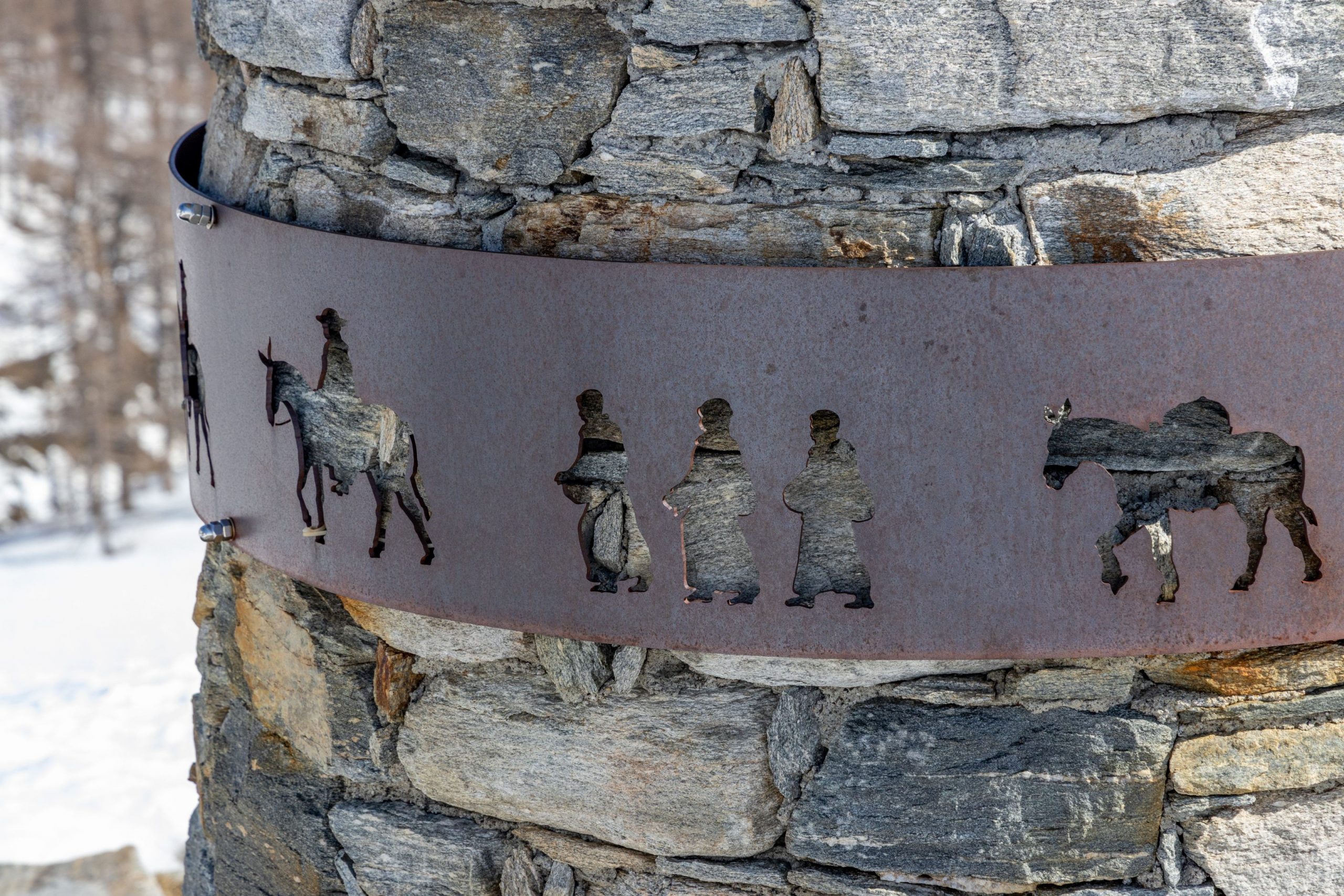
Pay attention to the curious metal band around the stone: it portrays a parade of characters on horseback and if the snow is not too deep, keep your eyes open, because you will find these characters along the way!
The route (signpost “Alpe Arza Il Dosso”) now follows a steady downhill path, which is a dirt track in summer, and leads to the hamlet of Arza and, immediately afterwards, the third refuge: Il Dosso.
The trail continues downhill through denser forest to a puddle created by a small dam. Once past this point, the route climbs slightly to return to the starting point.
Tips for baby snowshoers
This is a fairly long hike, suitable for grown children and teenagers. It is best to plan for a full day so that you can spend more time at the lodges. The loop is feasible in both directions, with the steepest climbs and the most gradual descent being tackled in the proposed loop, leaving the bends in the road, which are always a little demotivating, for the return leg.
Remember that you will reach an altitude of over 2000 metres, so don’t forget your sun cream.
CONTACTS FOR TOURIST INFORMATION
TOURISTS ASSOCIATION PRO LOCO of BOGNANCO
Via Emilio Cavallini, Loc. Fonti – 28842 Bognanco (VB)
Tel. +39 0324 234127
Email: info.prolocobognanco@gmail.com
Path makers: Franco Voglino, Annalisa Porporato and Nora Voglino
Authors of text: Franco Voglino, Annalisa Porporato
The path is described in the book “SNOW TREK” of Distretto Turistico dei Laghi – edition 2021
The routes were suggested by ski operators and municipalities Partner of Neveazzurra project. We decline any responsability regarding the effective feasibility and any changes that the routes can suffer. Maps and tracks are purely indicative of the route.
Safety annotations:
Here are some practical tips: find out about weather and snow conditions, checking the forecasts especially at local level; check the avalanche bulletin for the relevant area; equip yourself with and carry PSA self-rescue equipment: shovel, probe and ARTVa; wear warm, waterproof clothing that is comfortable and consists of several layers… despite the snow, you will get warm as you move; hiking shoes or mountain boots depending on the area, terrain and altitude where the hike takes place; bring gloves, cap, sunglasses and sunscreen; pack a rucksack with a spare shirt and hot drinks; during the hike, always check the slopes above you; avalanches usually break off on slopes with a gradient of more than 25° and can also continue on flat sections.
Back to the list of routes