Challenging hike to a great panoramic point amidst scattered cottages on a lovely clearing
SNOWSHOE HIKE AT ALPE DECCIA
Route description
Challenging hike to a great panoramic point amidst scattered cottages on a lovely clearing
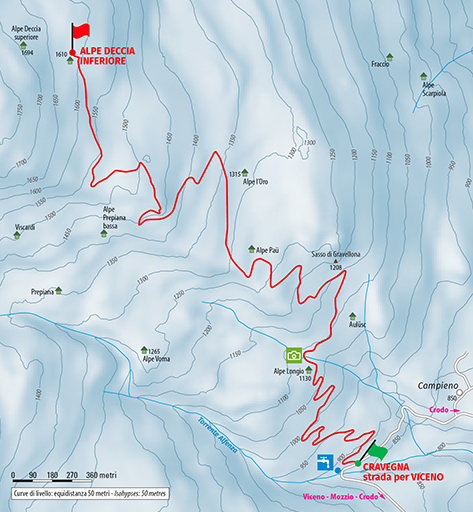
Place of departure: Crodo, Loc. Cravegna, road to Viceno, by the picnic area (880 m.)
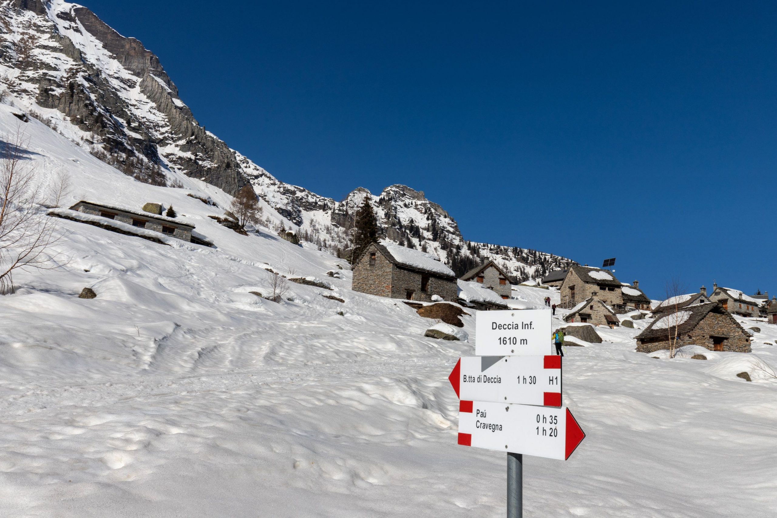
Place of arrival: Deccia Inferiore (1610 m.)
Height difference: +750 m one way
Distance: 5.5 km one way
Travel time net of stops: 3 hours 15 minutes one way
Signage: white/red signs
How to get there: 20 km from Domodossola. Strada Statale del Sempione 33, Crodo exit. After passing the town of Crodo, head towards Viceno and continue to the village of Cravegna.
The itinerary:
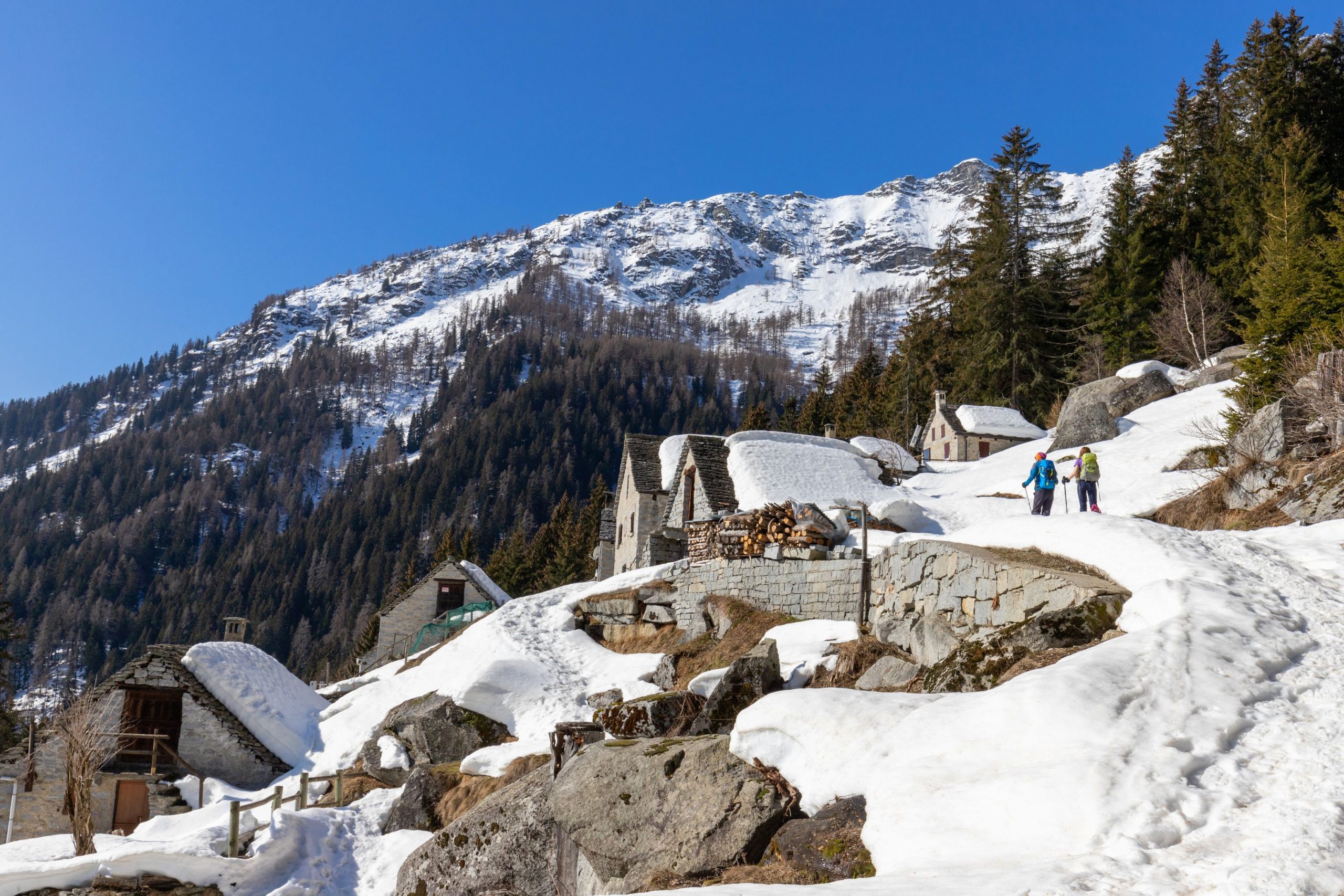
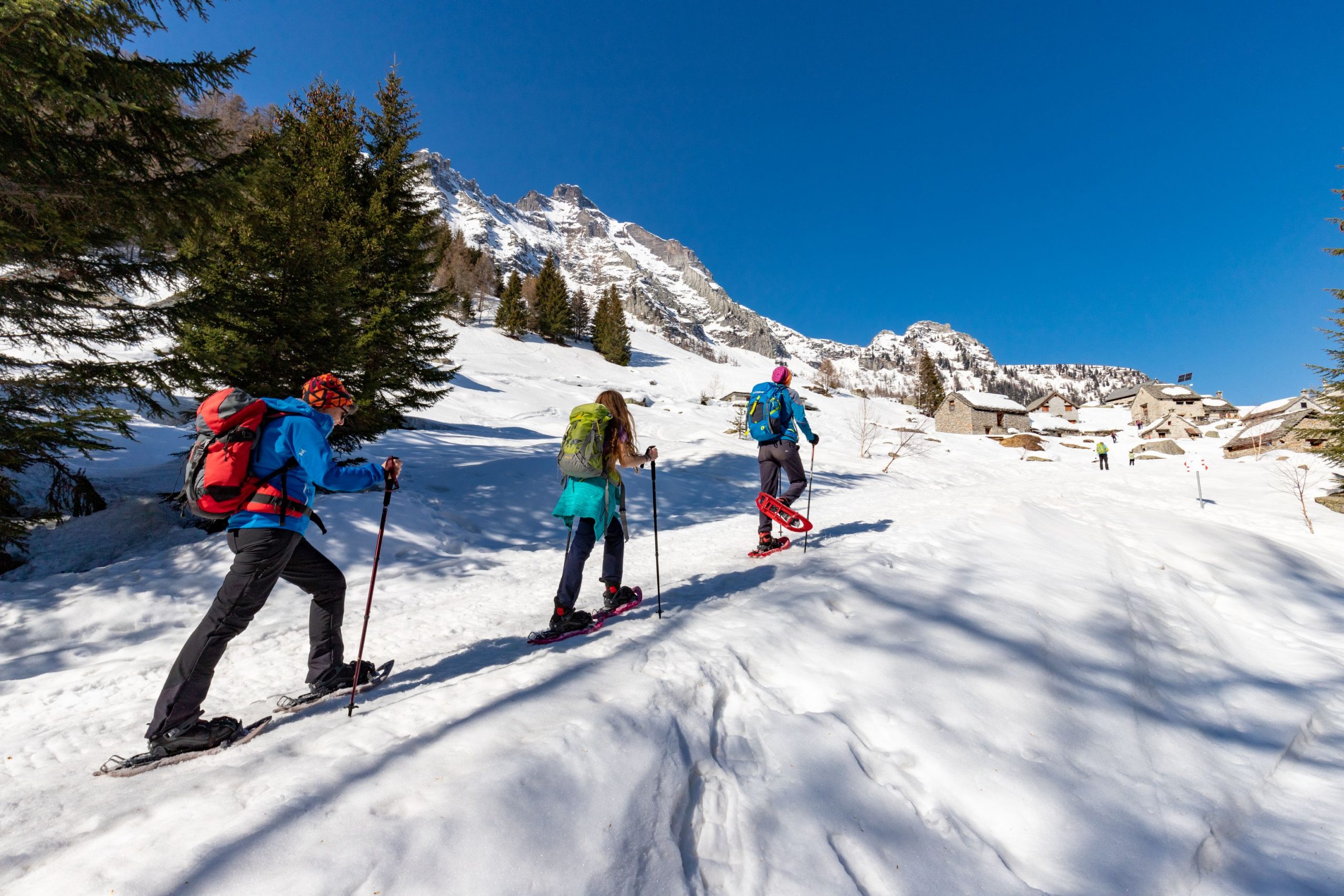
From the car park at the picnic area, take the uphill asphalt road (signpost “G11 Deccia”), which climbs steadily up several hairpin bends into the woods. A nice viewpoint is near the village of Longo, when it opens up towards Monte Cistella (2689 m). From here, continue along the obvious road that plunges back into the forest of dense spruce trees to reach the isolated hamlet of Aulüsc and, after a few bends, the hamlet of Paü, anticipated by some steeply sloping meadows that can be transformed into natural slides!
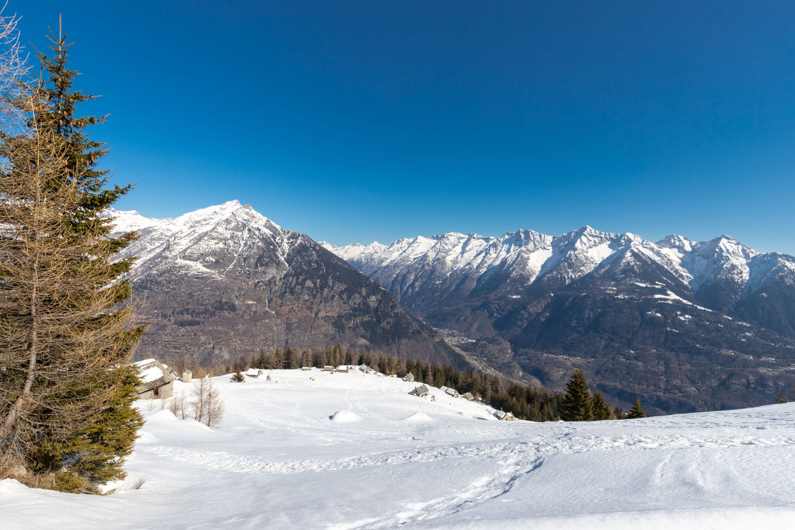
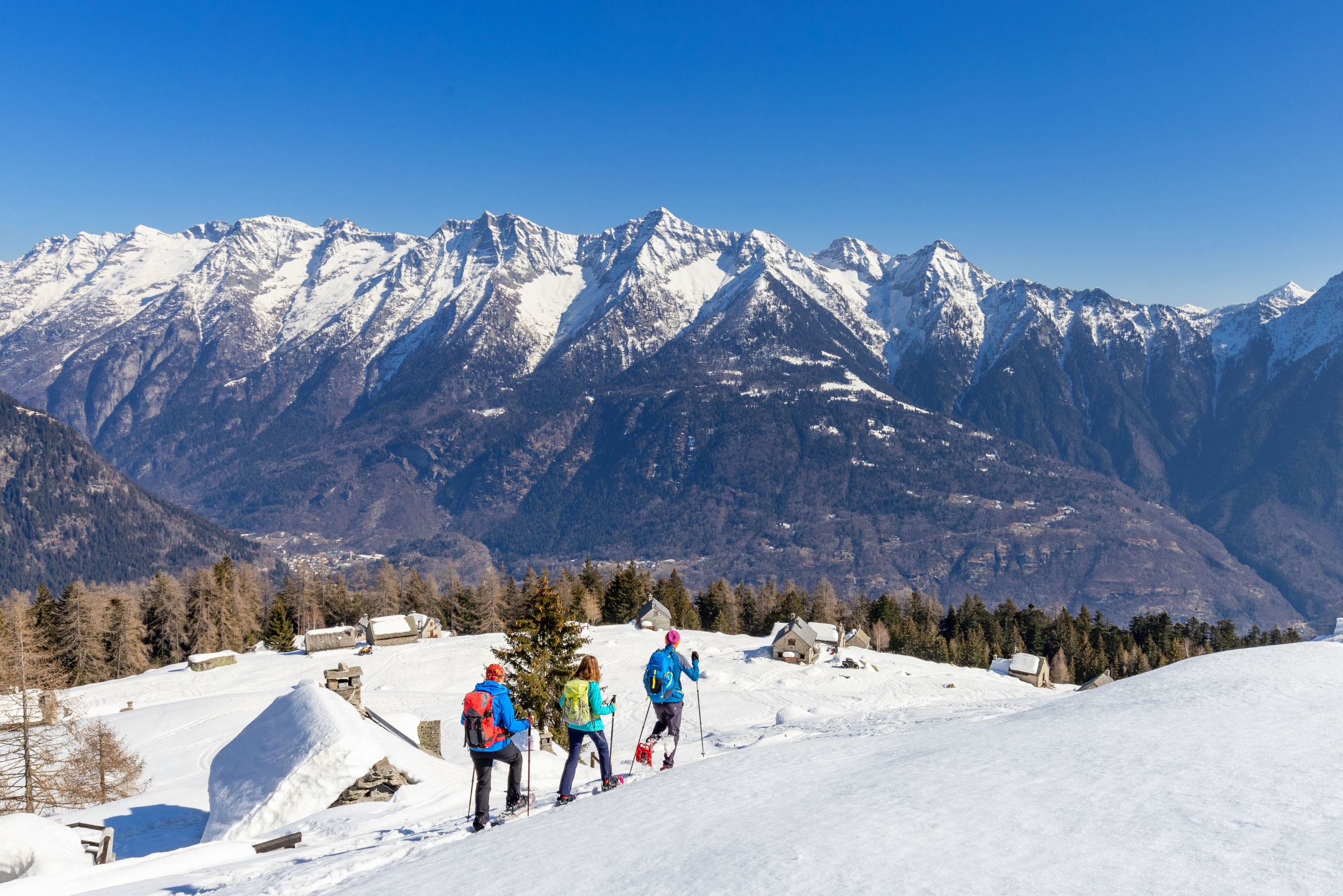
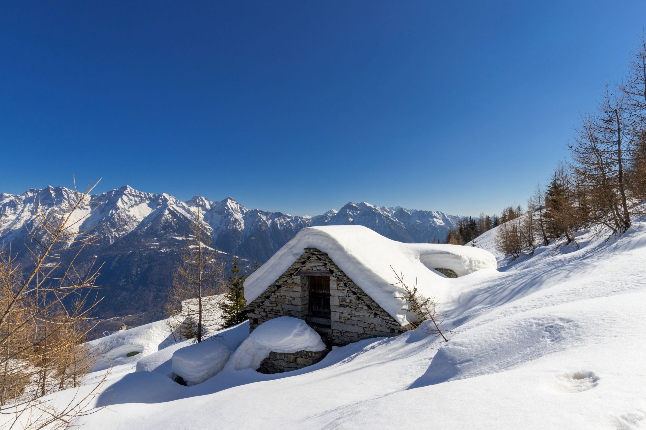
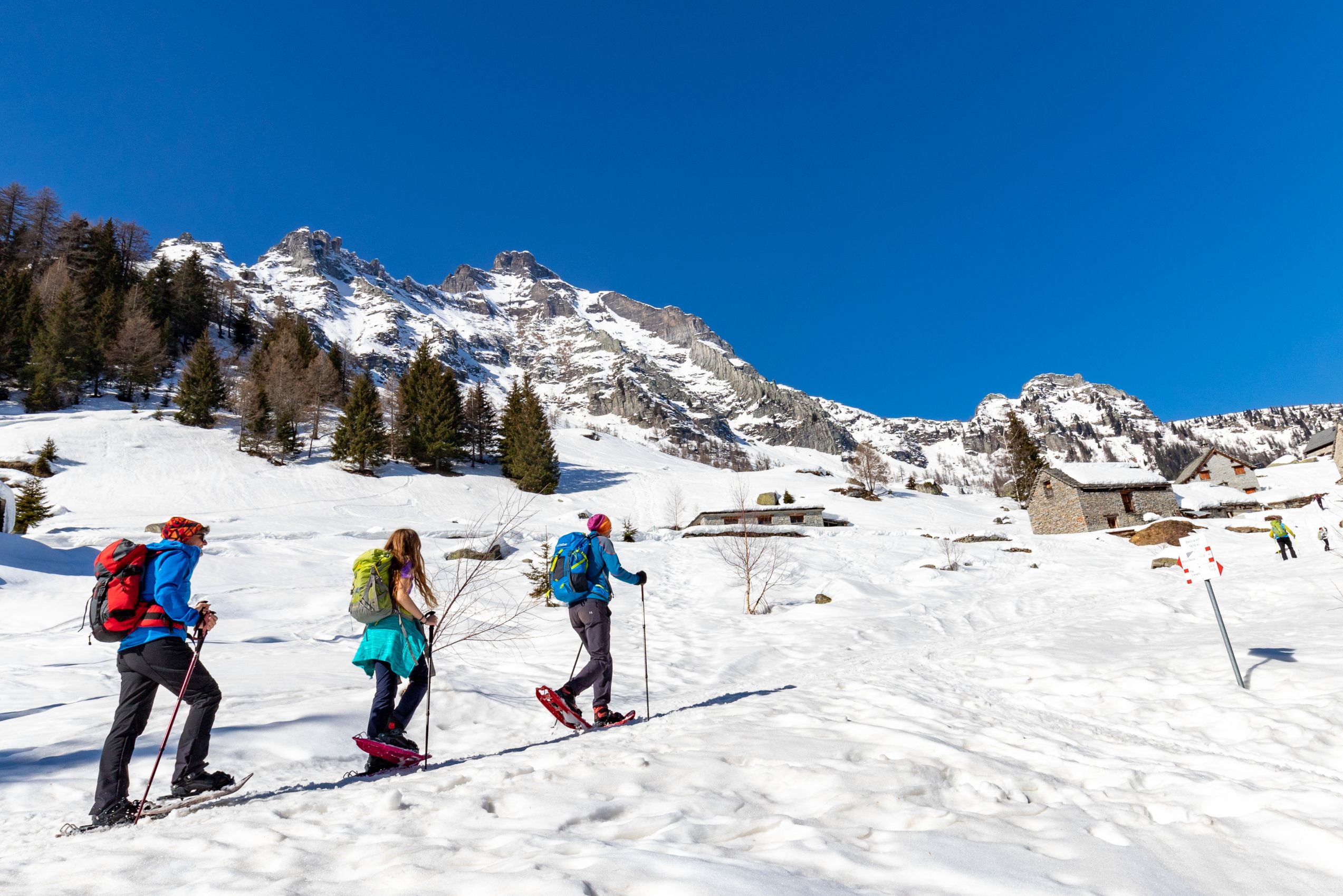
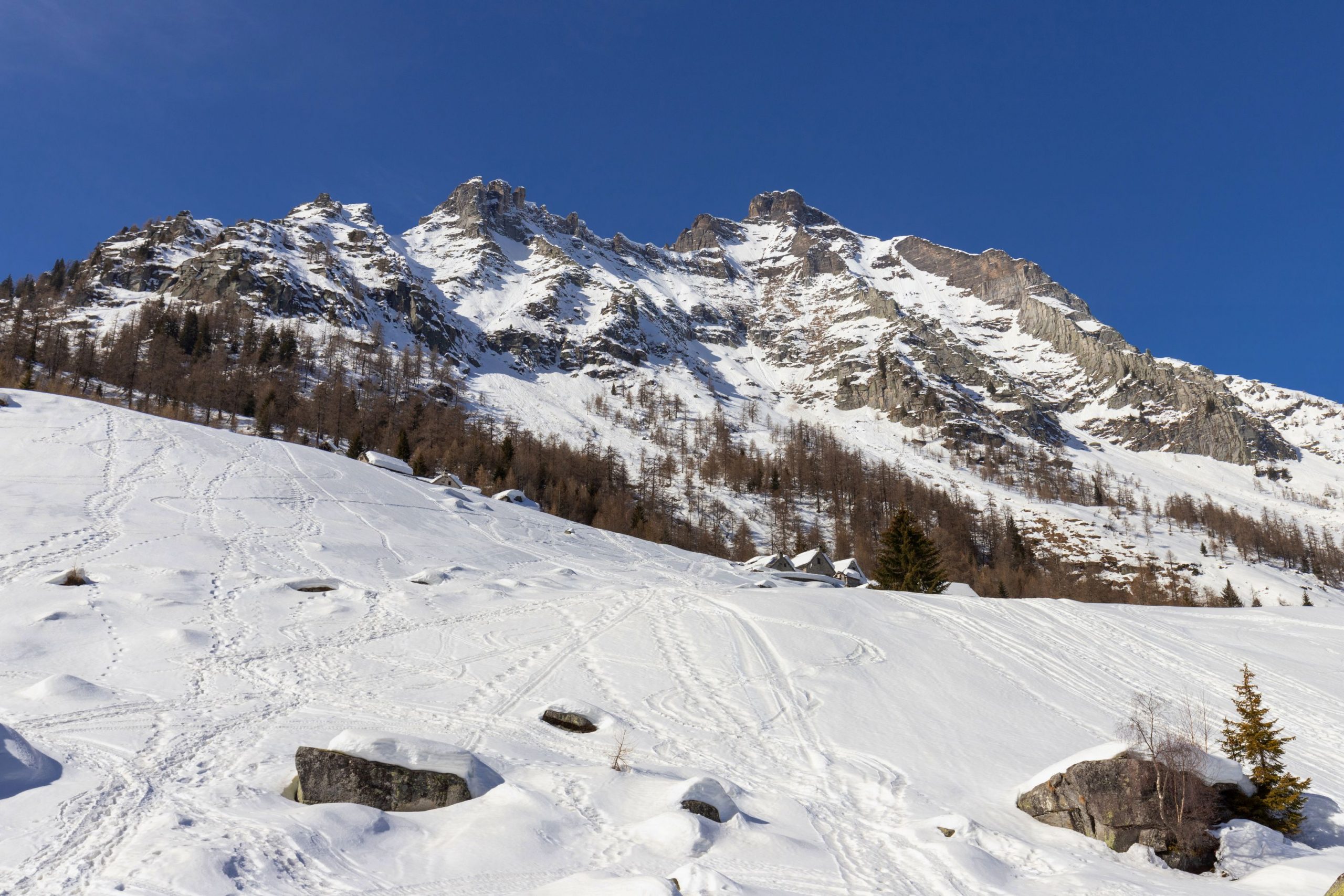
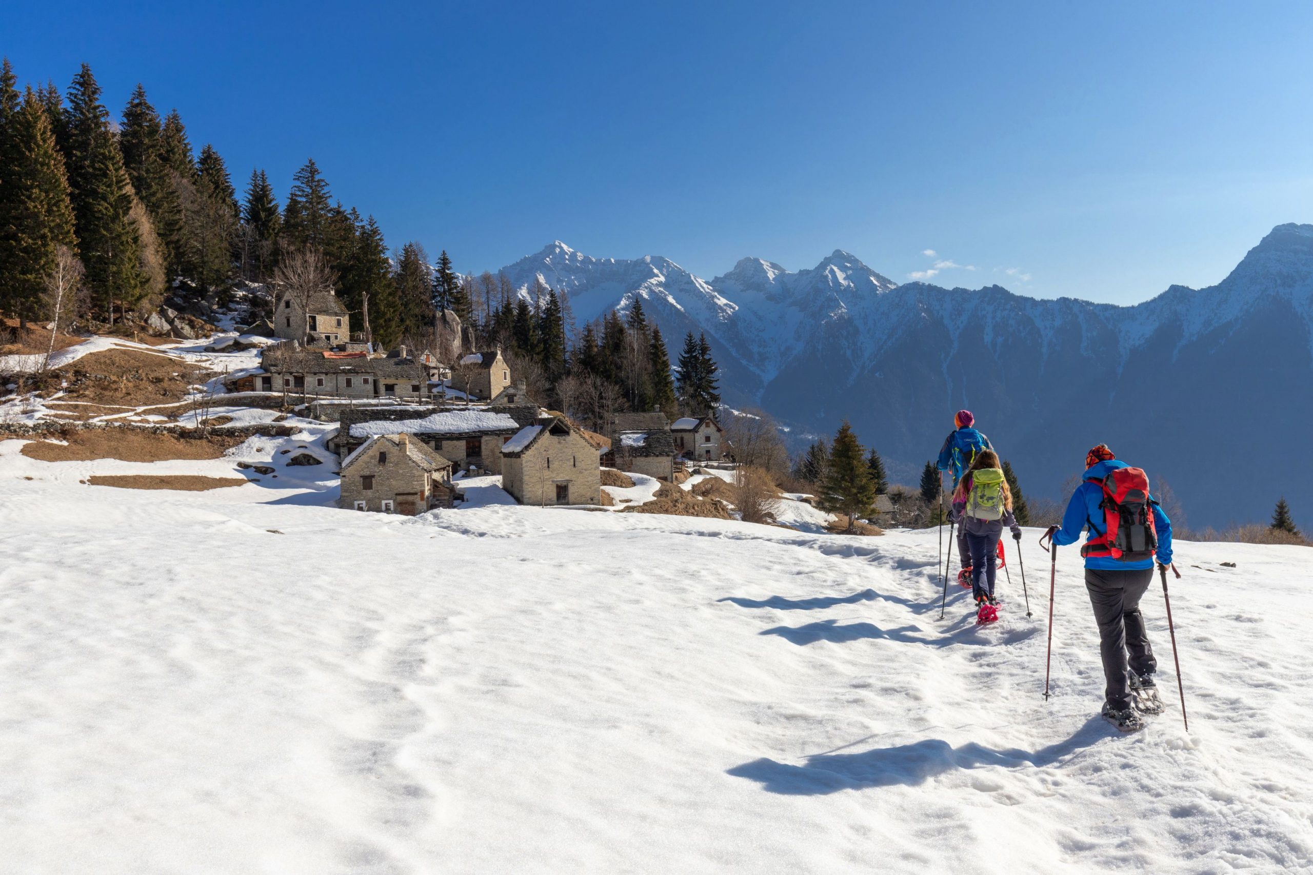
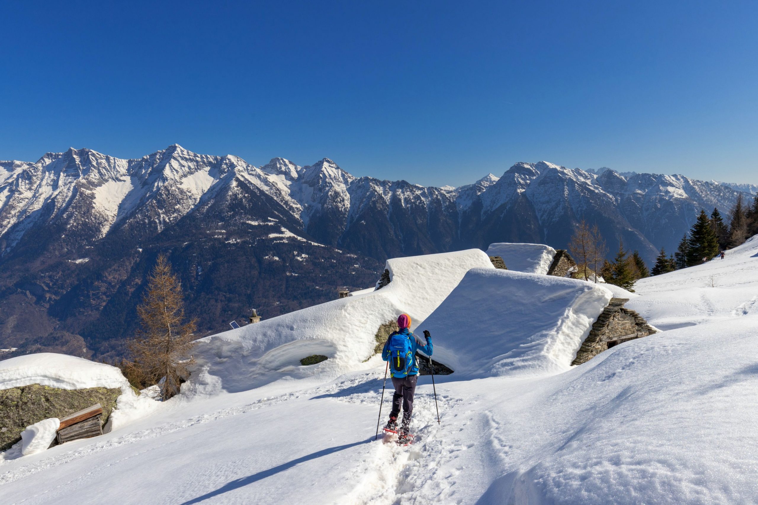
The route continues through dense woodland, ignoring every fork along the road, keep to the main road until passing Alpe Oro and, with a series of final hairpin bends, you arrive at the last straight stretch that leads to the open Alpe Deccia Inferiore, a series of beautiful buildings lying peacefully on open, gentle slopes with a grandiose view of the mountains above Crodo.
Those who still have breath and energy in their legs can continue along the steep slope, facing a further +110 metres in height difference and 0.5 km in length to reach Alpe Deccia Superiore, where the bell of the votive pillar can be rung.
The return journey is by the same route as the outward journey.
Tips for baby snowshoers
Long hike through an attractive forest and very beautiful for the panoramic finish.
Only for grown-up, well-motivated children.
With younger children, it is possible to stop just below the Paü hamlet, taking advantage of the open, steep spaces it offers. In this case you face +400 metres and 3km of distance, about 1 hour and 45 minutes.
CONTACTS FOR TOURIST INFORMATION
MUNICIPALITY OF CRODO
Via Pellanda 56 – 28862 Crodo (VB)
Tel. +39 0324 61003
Email: protocollo@comune.crodo.vb.it
Path Makers: Franco Voglino, Annalisa Porporato and Nora Voglino
Authors of text: Franco Voglino, Annalisa Porporato
The path is described in the book “SNOW TREK” of Distretto Turistico dei Laghi – edition 2021
The routes were suggested by ski operators and municipalities Partner of Neveazzurra project. We decline any responsability regarding the effective feasibility and any changes that the routes can suffer. Maps and tracks are purely indicative of the route.
Safety annotations:
Here are some practical tips: find out about weather and snow conditions, checking the forecasts especially at local level; check the avalanche bulletin for the relevant area; equip yourself with and carry PSA self-rescue equipment: shovel, probe and ARTVa; wear warm, waterproof clothing that is comfortable and consists of several layers… despite the snow, you will get warm as you move; hiking shoes or mountain boots depending on the area, terrain and altitude where the hike takes place; bring gloves, cap, sunglasses and sunscreen; pack a rucksack with a spare shirt and hot drinks; during the hike, always check the slopes above you; avalanches usually break off on slopes with a gradient of more than 25° and can also continue on flat sections.
Back to the list of routes
