From the Toce Waterfall Toce to S. Giacomo pass
HISTORIC MOUNTAIN ROADS
Valle Formazza
Route description
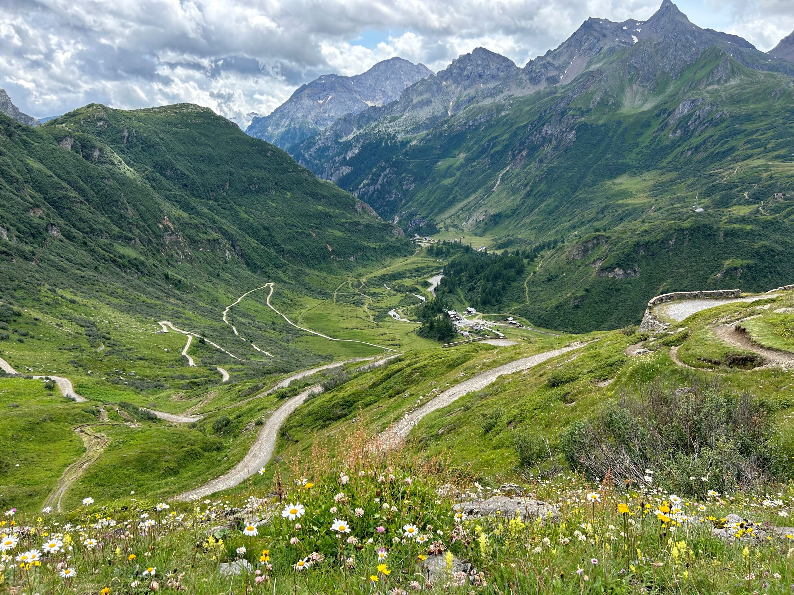
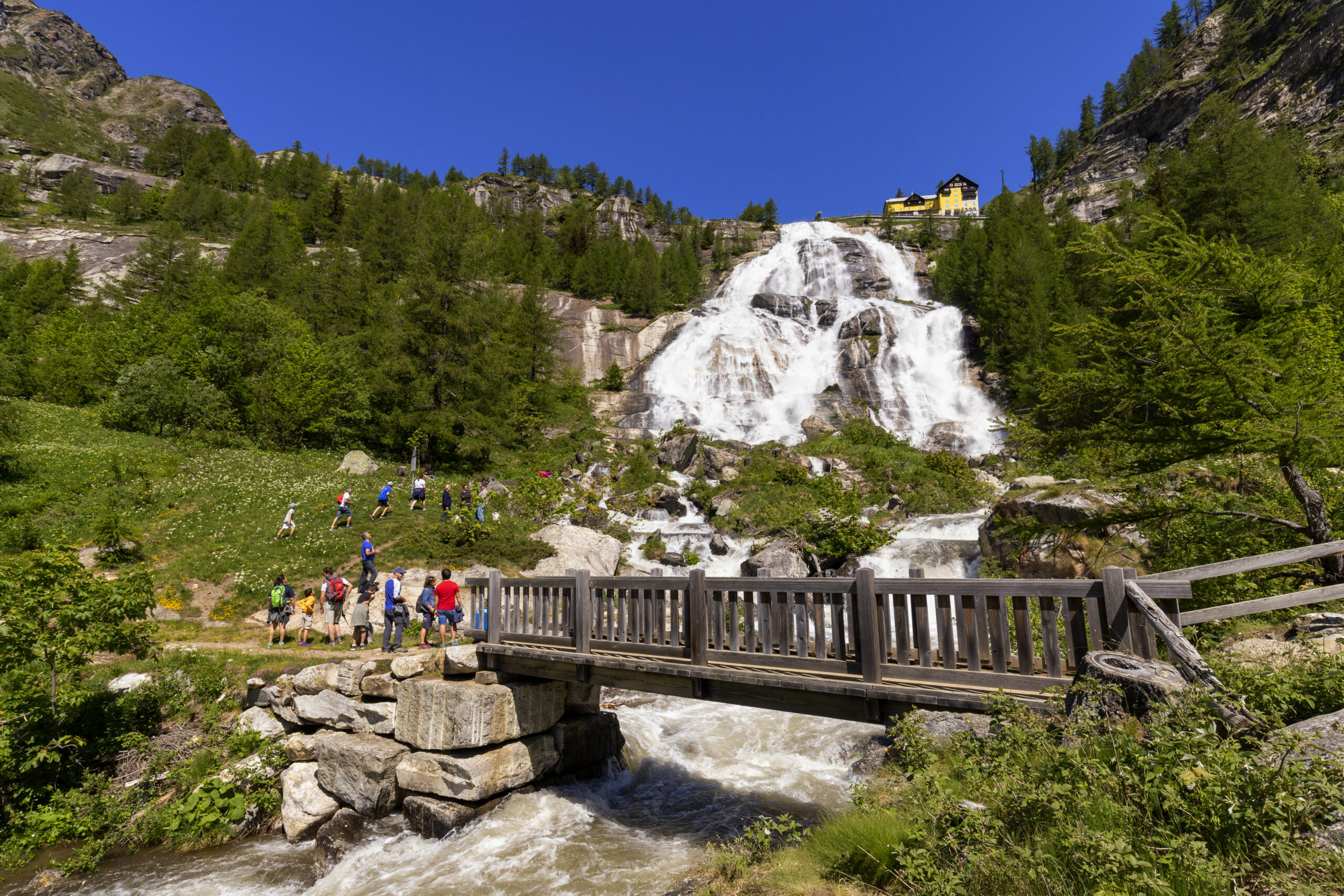
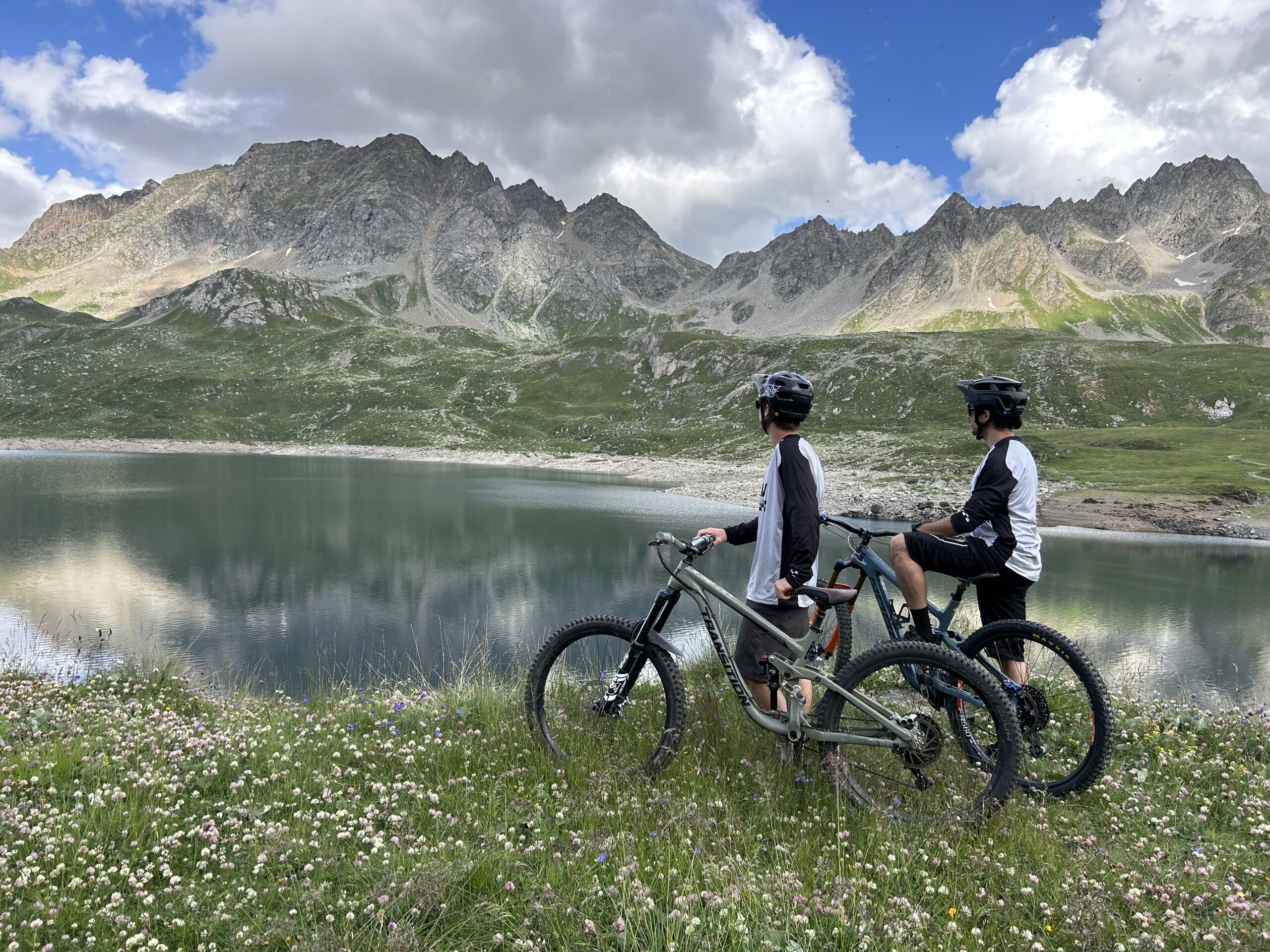
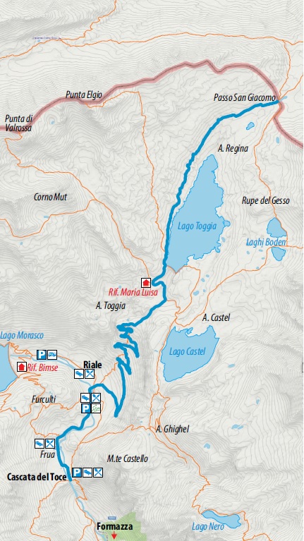
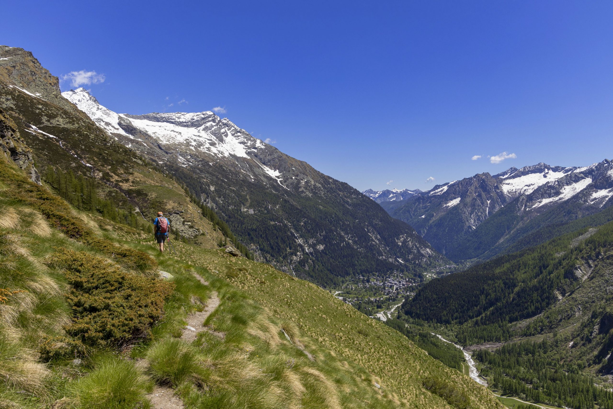
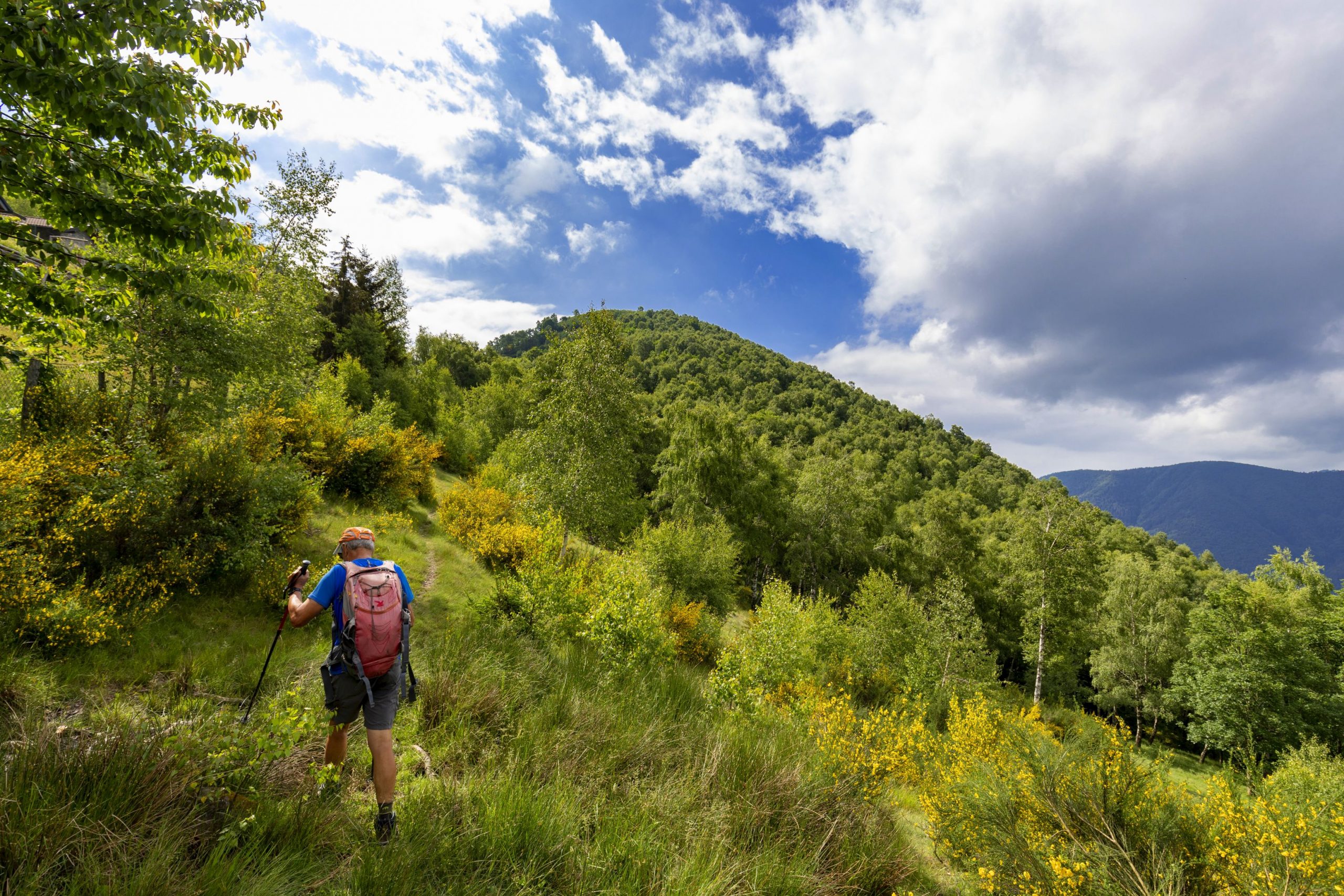
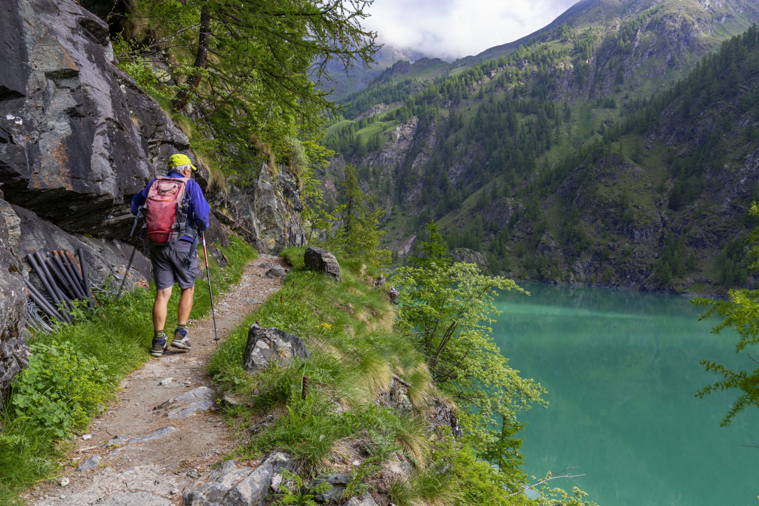
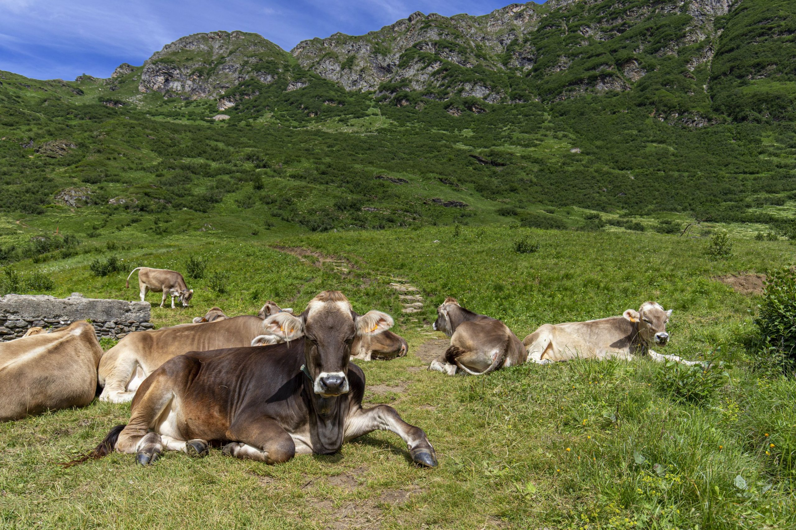
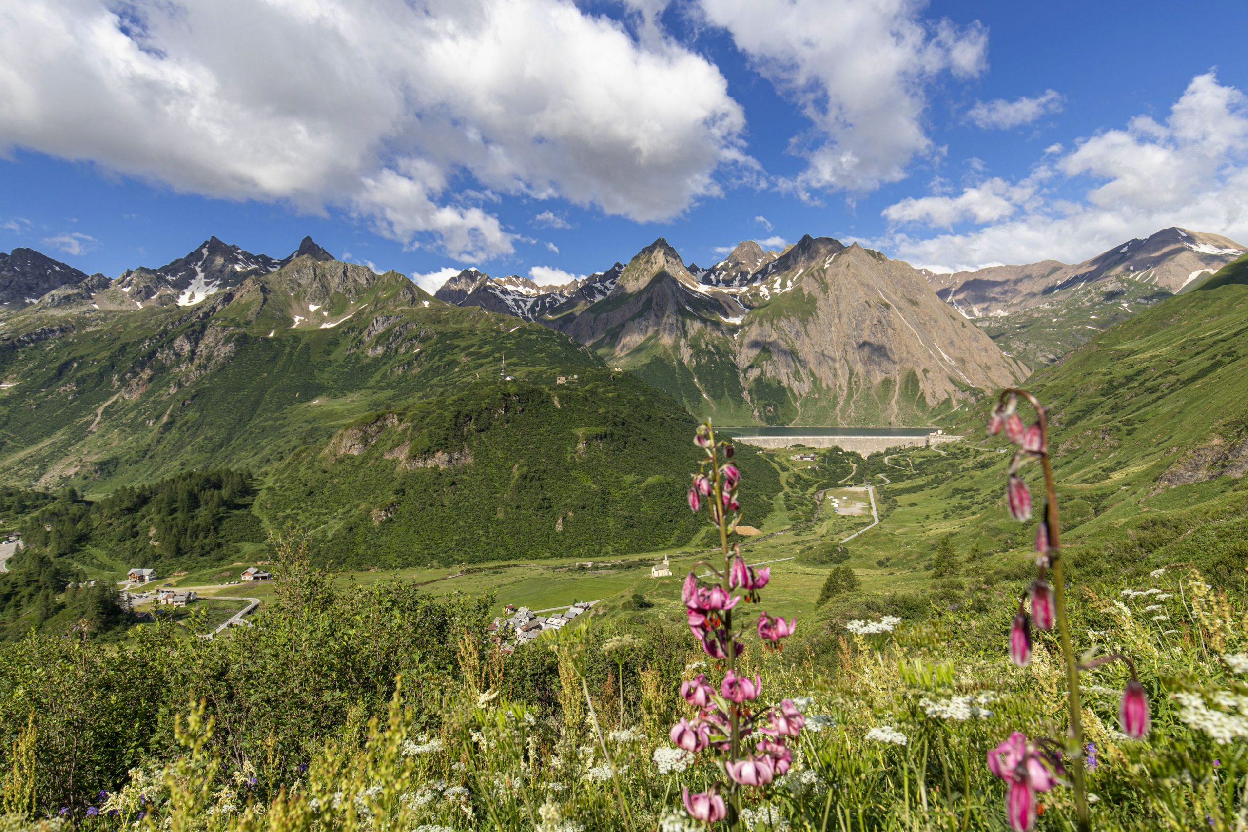
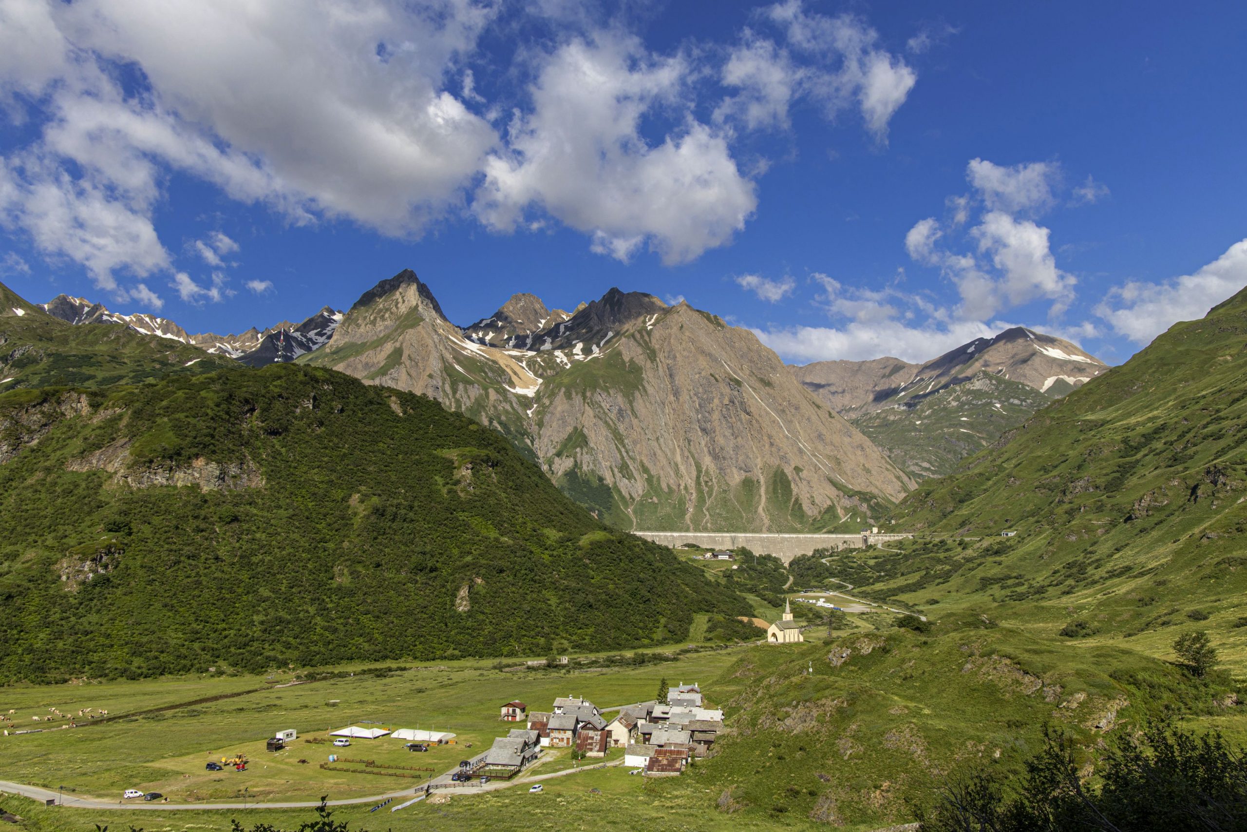
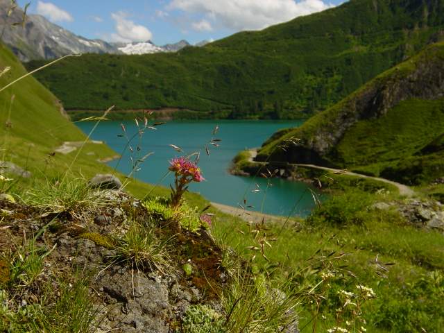
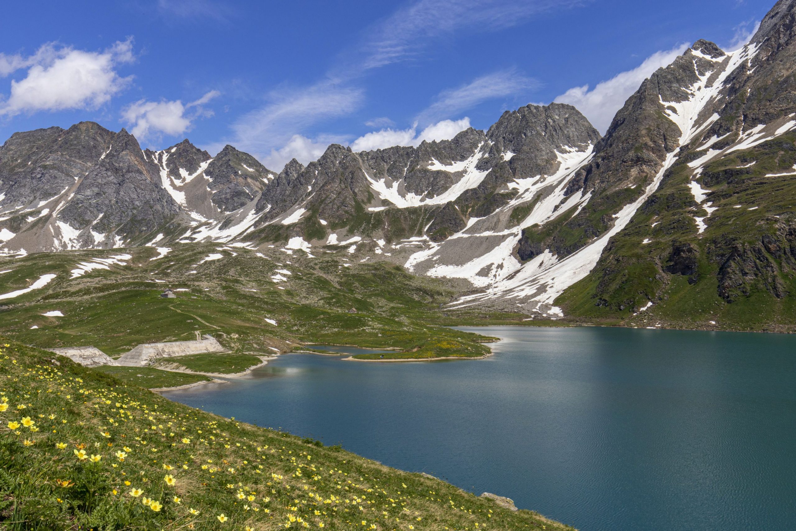
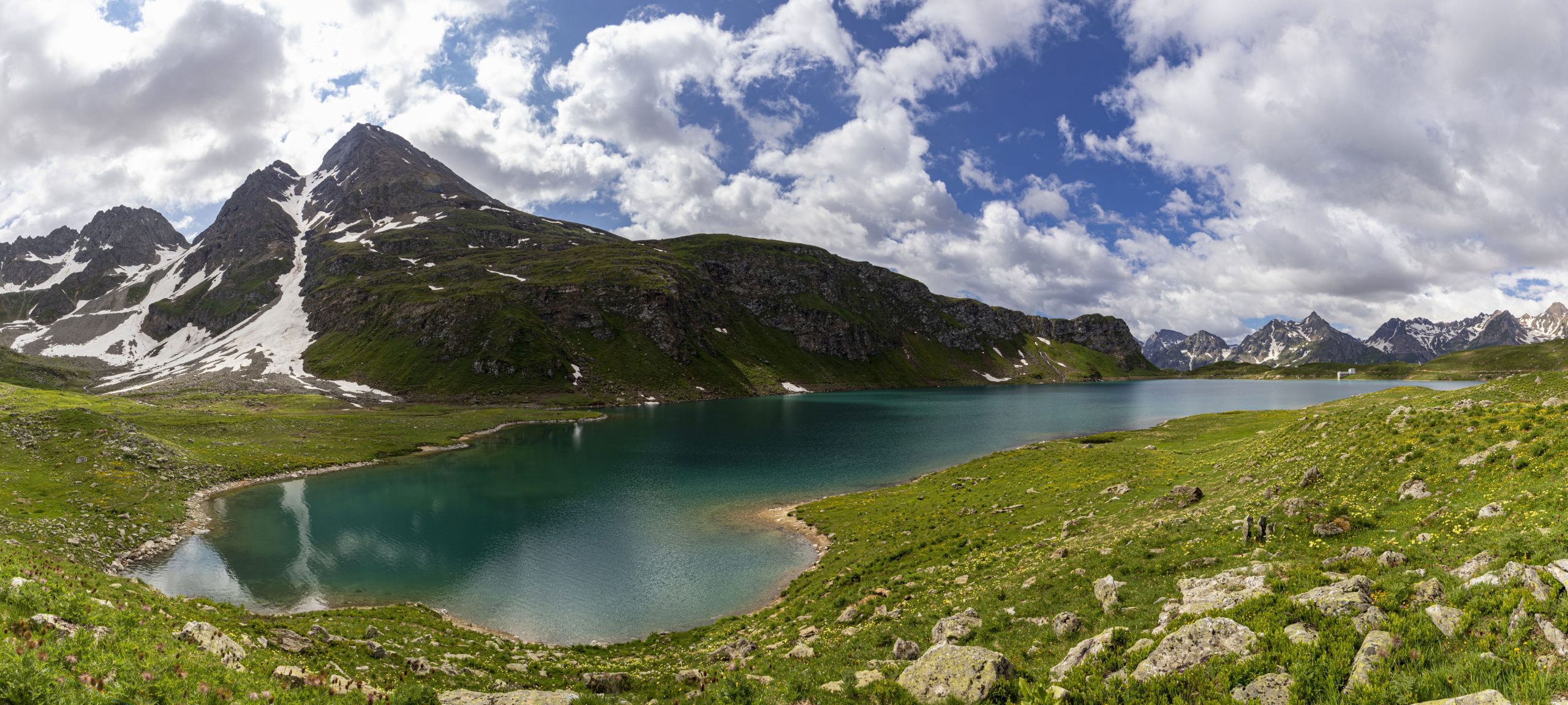
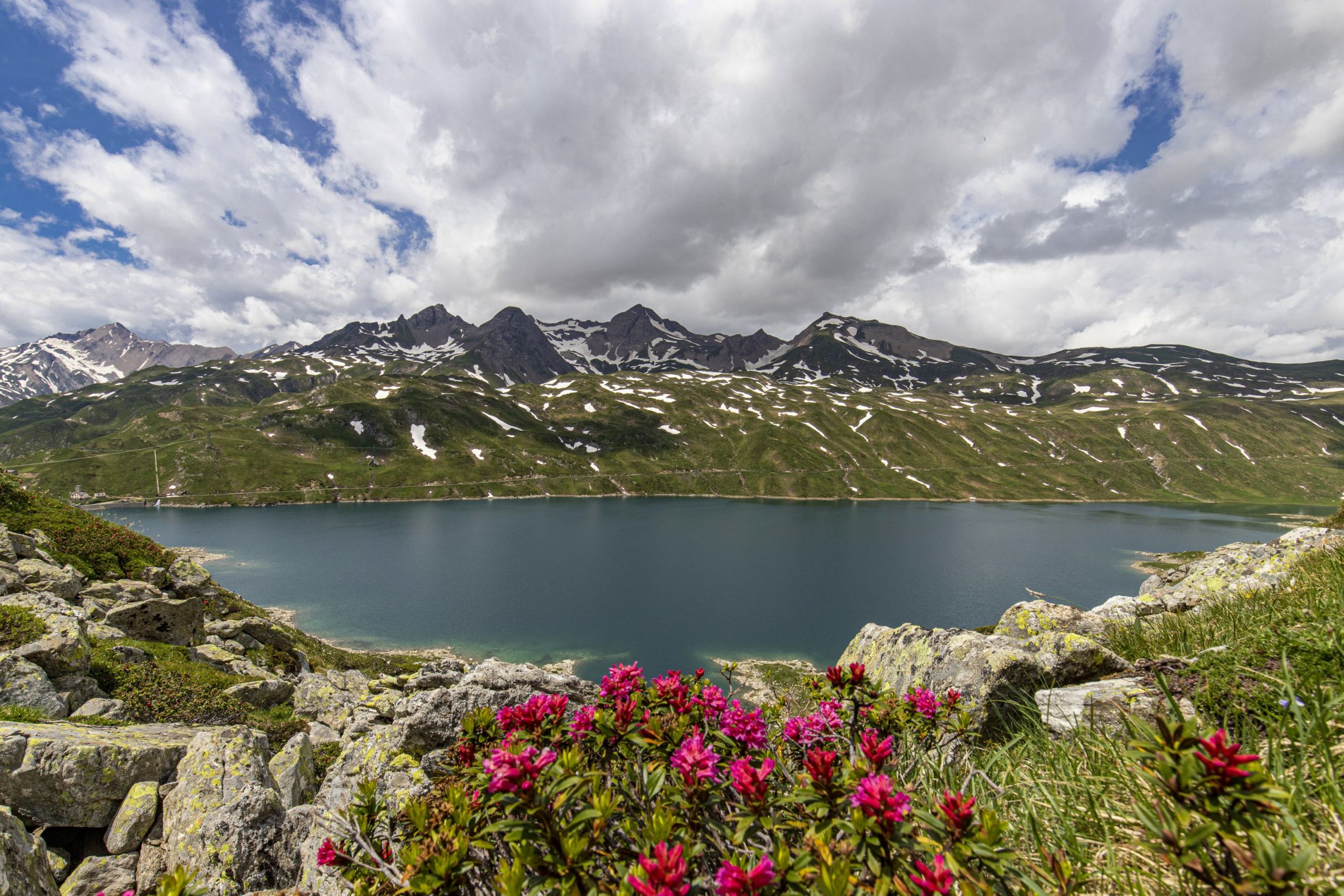
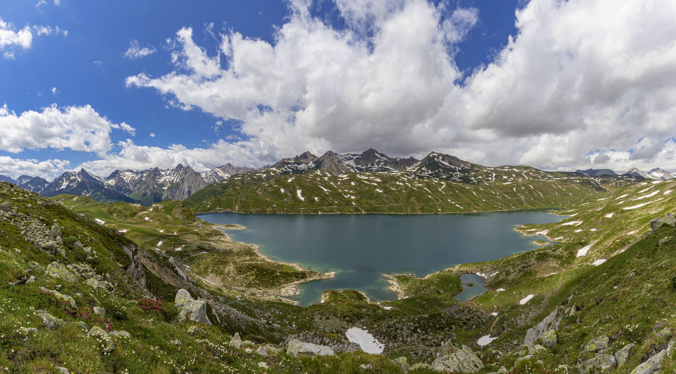
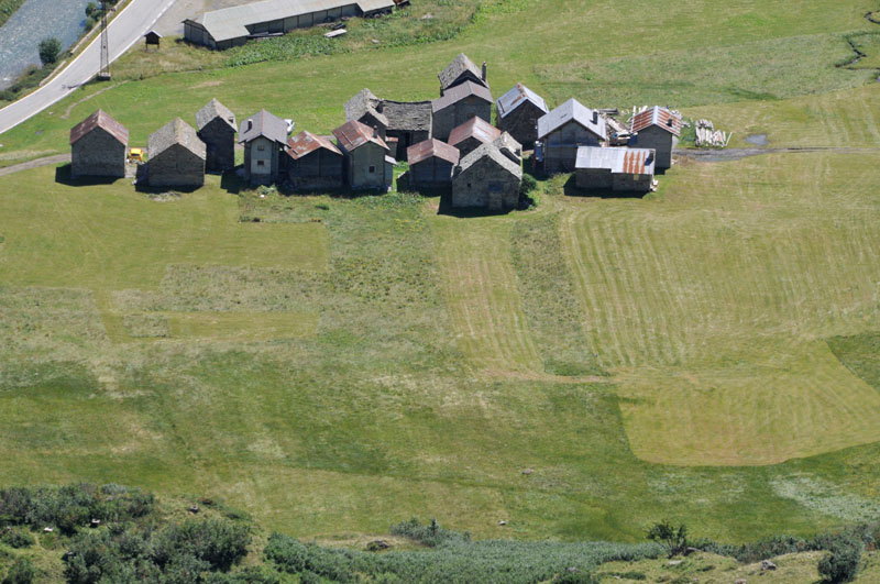
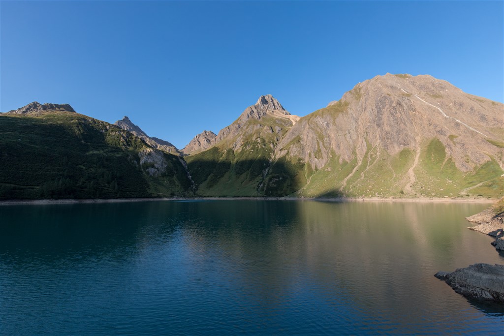
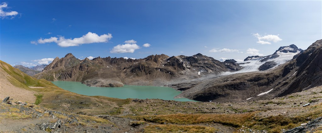
Built starting from 1929 to realise the dams of Lago Castel and Lago Toggia in Alta Val Formazza, in the extreme north of Piedmont, the road unites the famous Cascata del Toce to Passo San Giacomo, passing through the hamlet of Riale and connecting Italy with Ticino Switzerland. The first section of the route which starts from Cascata del Toce (1685 m asl) and arrives at the hamlet of Riale below, covers a long, asphateded section on State Road 659.
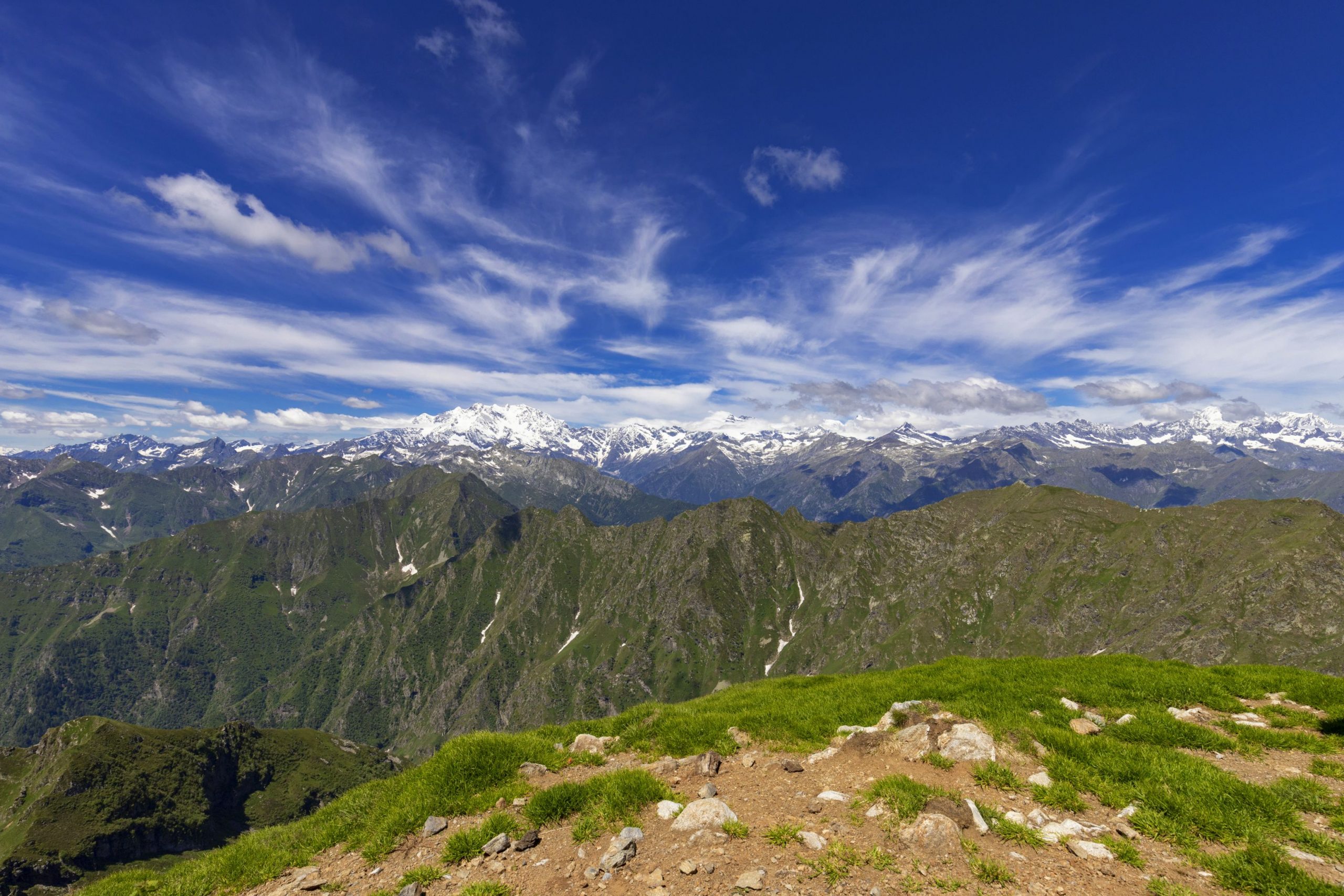
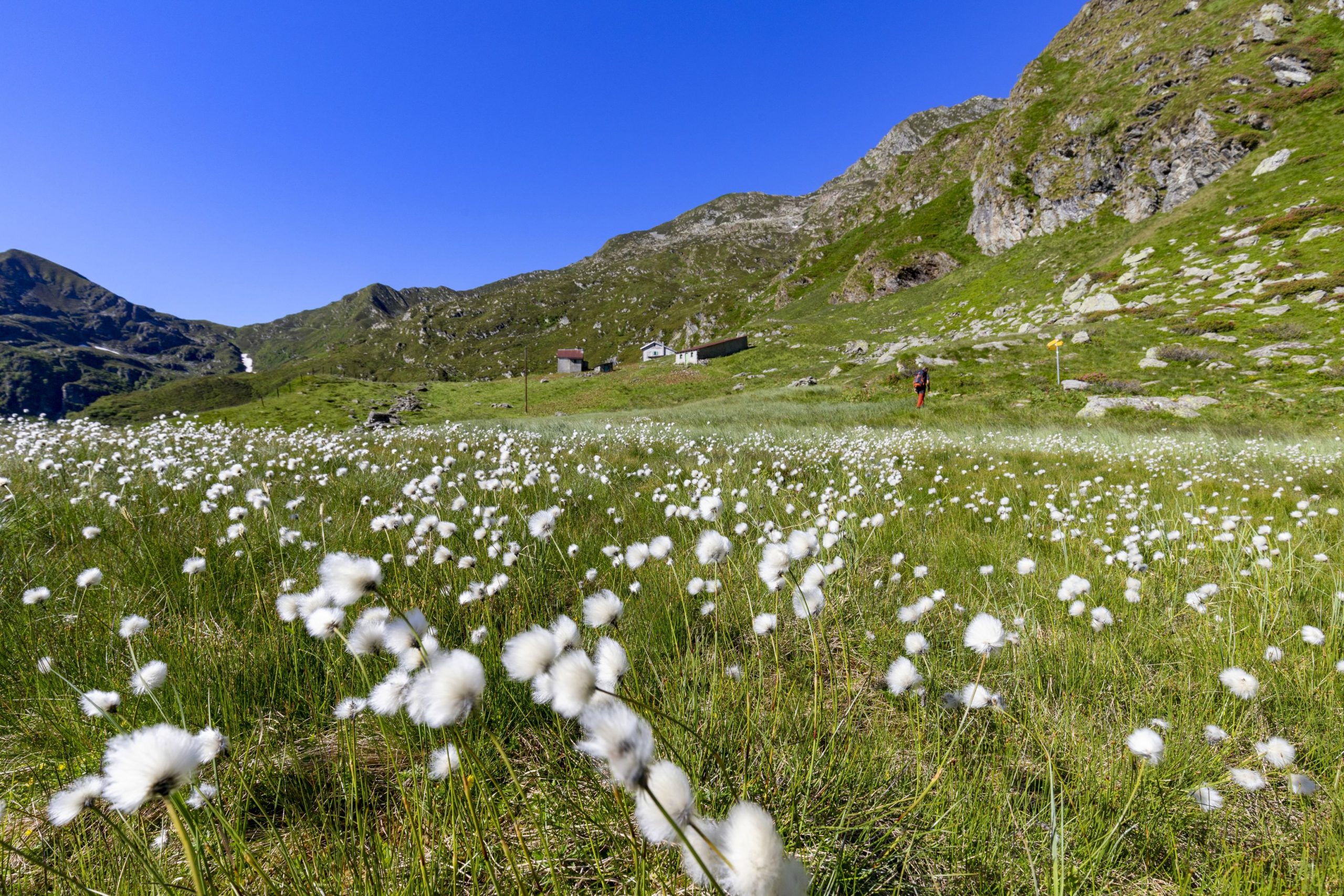
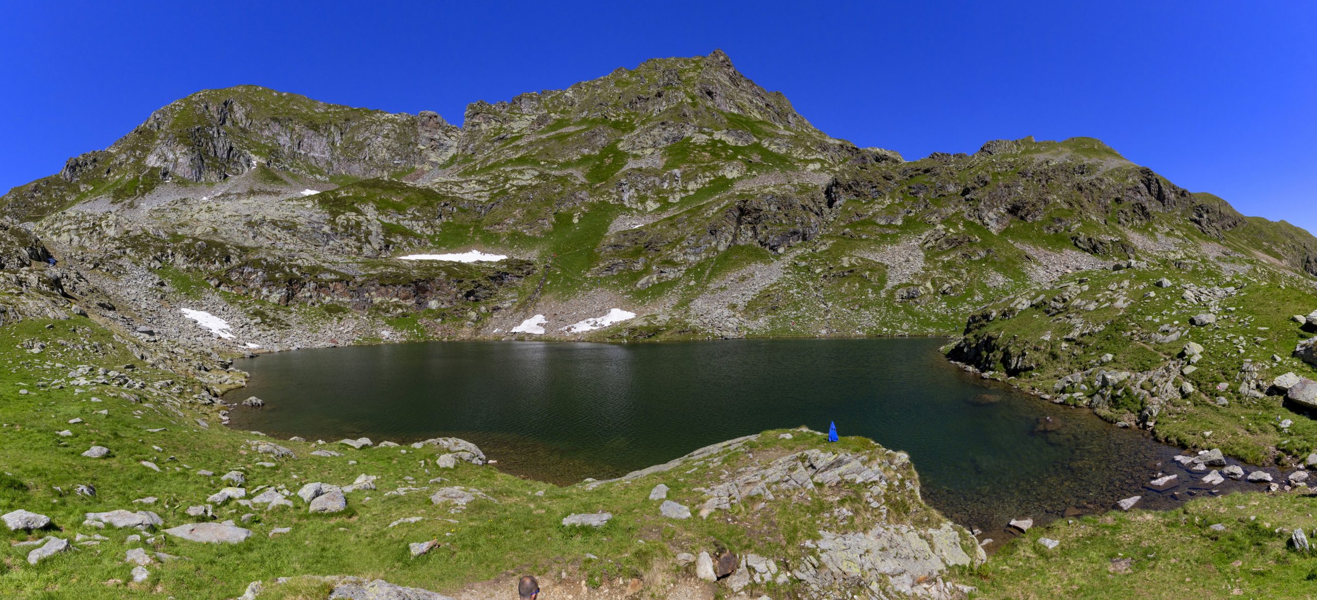
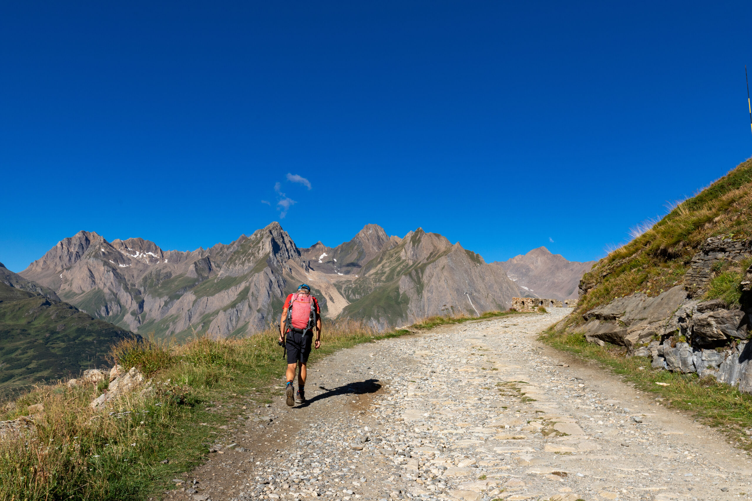
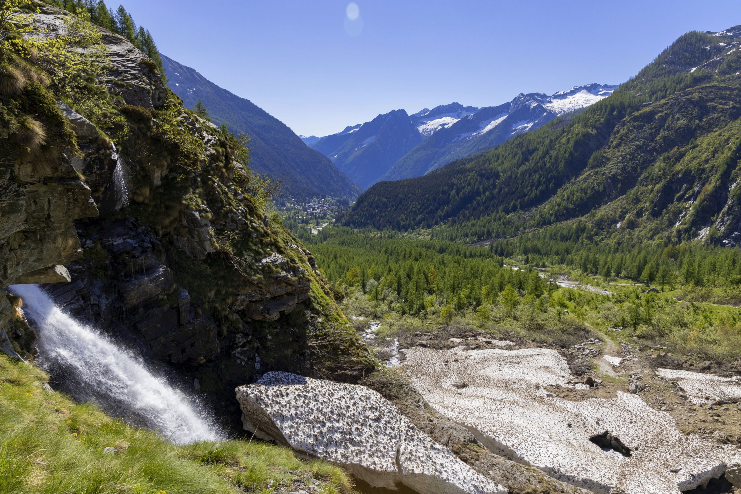
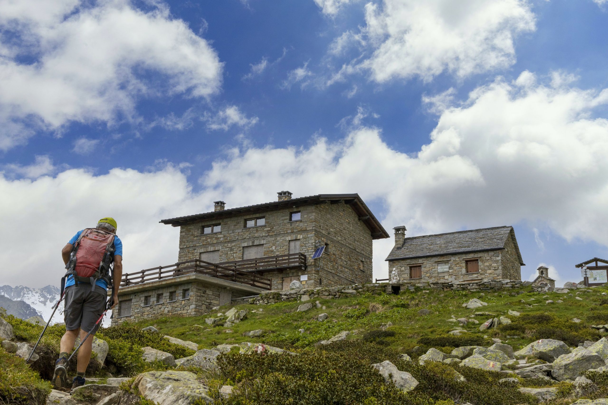
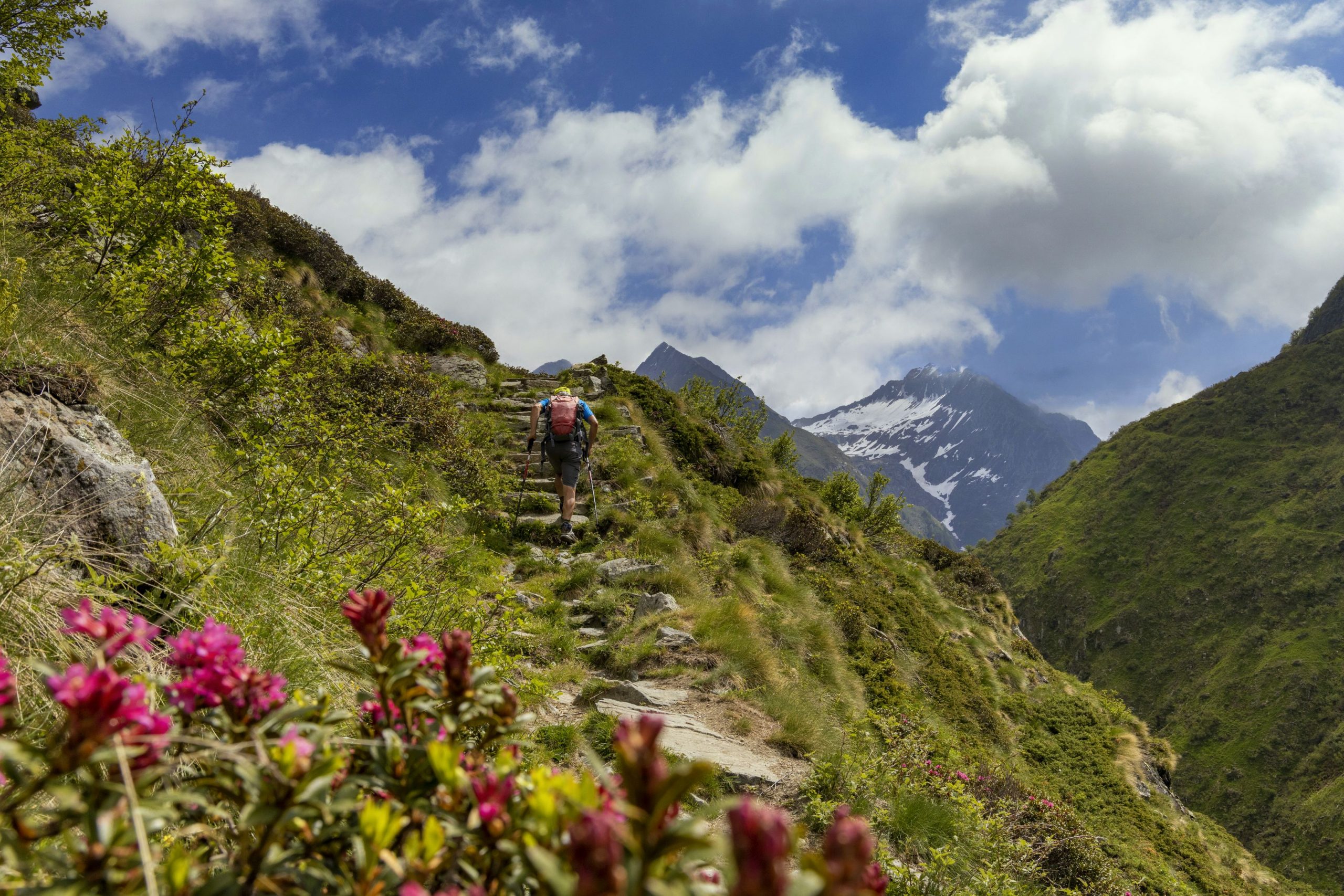
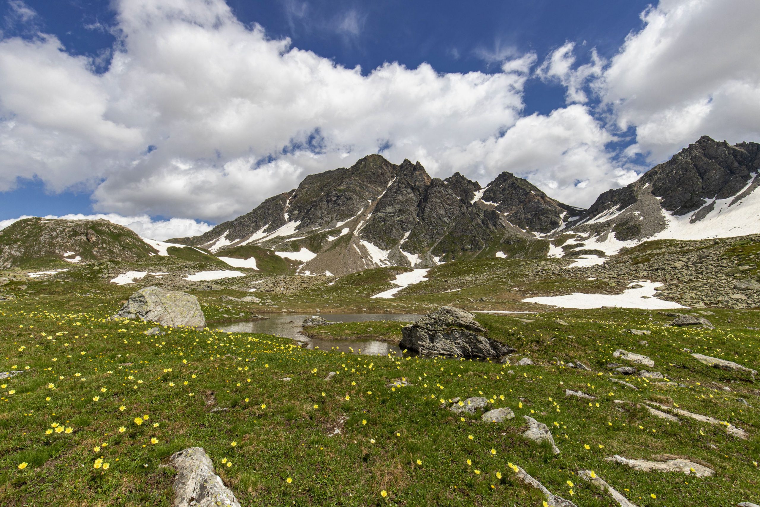
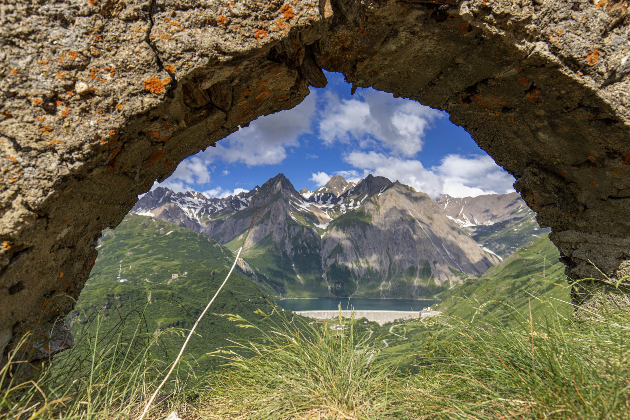
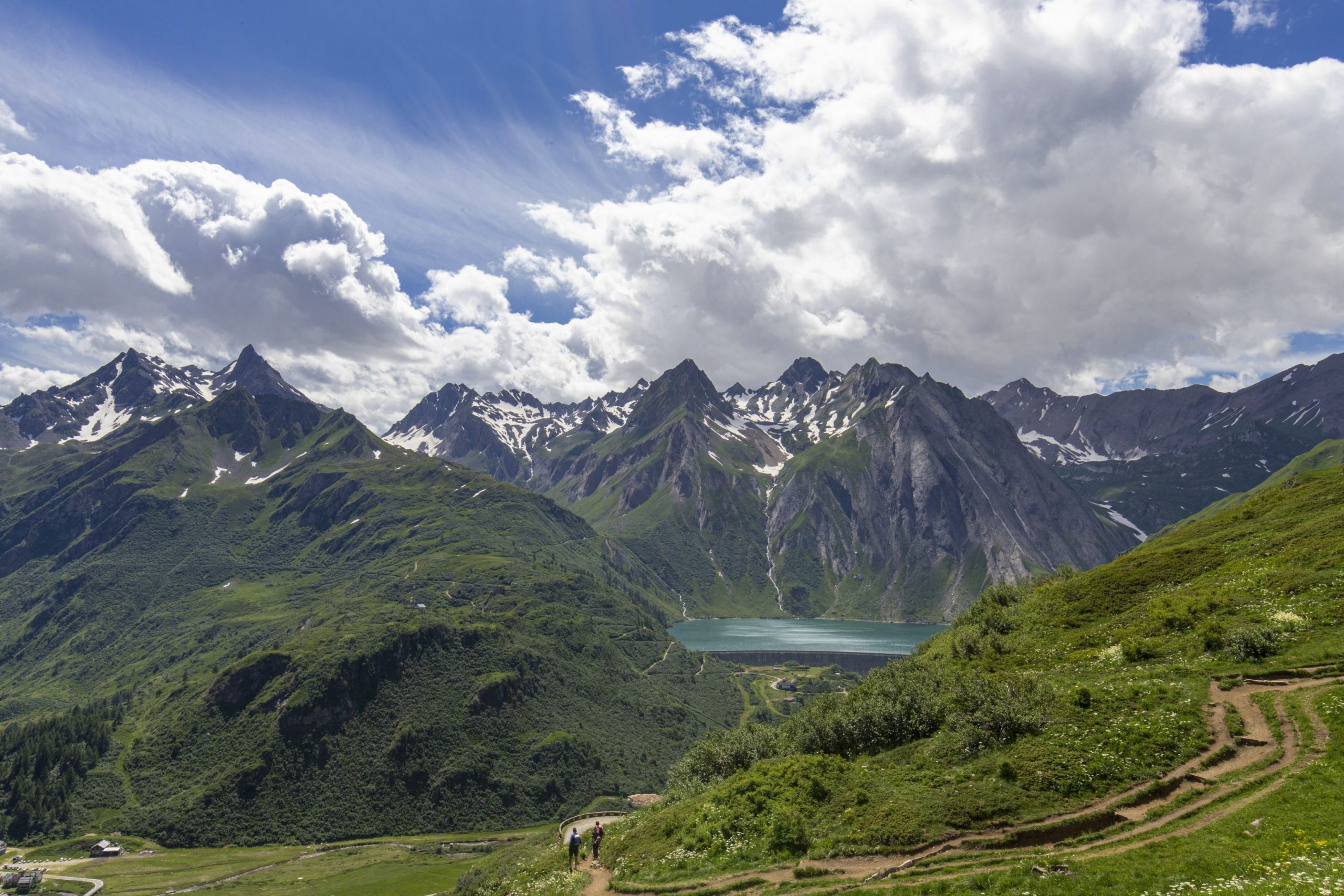
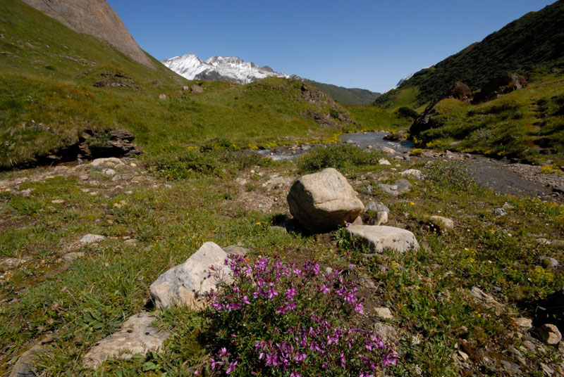
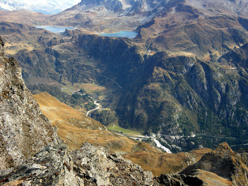
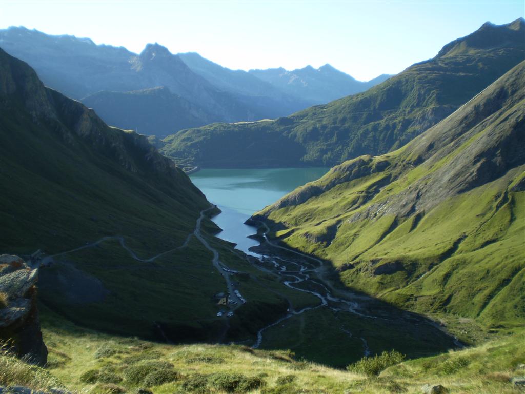
Shortly before reaching the hamlet of Riale (1740 m asl) the road branches off and the dirt road begins, which leads to the Maria Luisa mountain hut (2160 m asl), then continues to Lago Toggia and reaches Passo San Giacomo (2313 m asl). It is in this section that the route becomes a true masterpiece with gentle gradients and perfect hairpin bends, flanked by dry stone walls and arches from which unique photos can be taken of the Riale plain and the peaks of Alta Formazza.
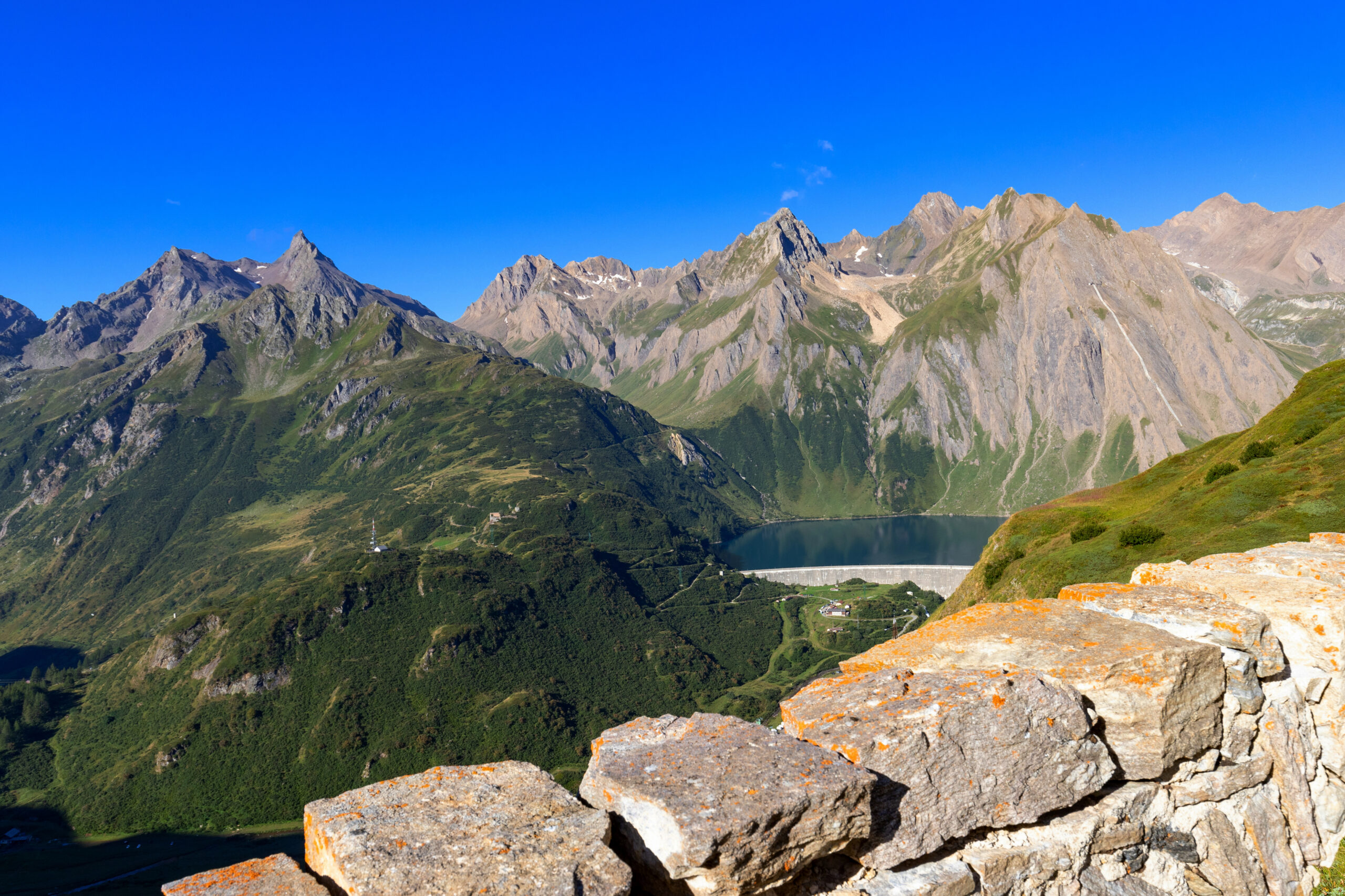
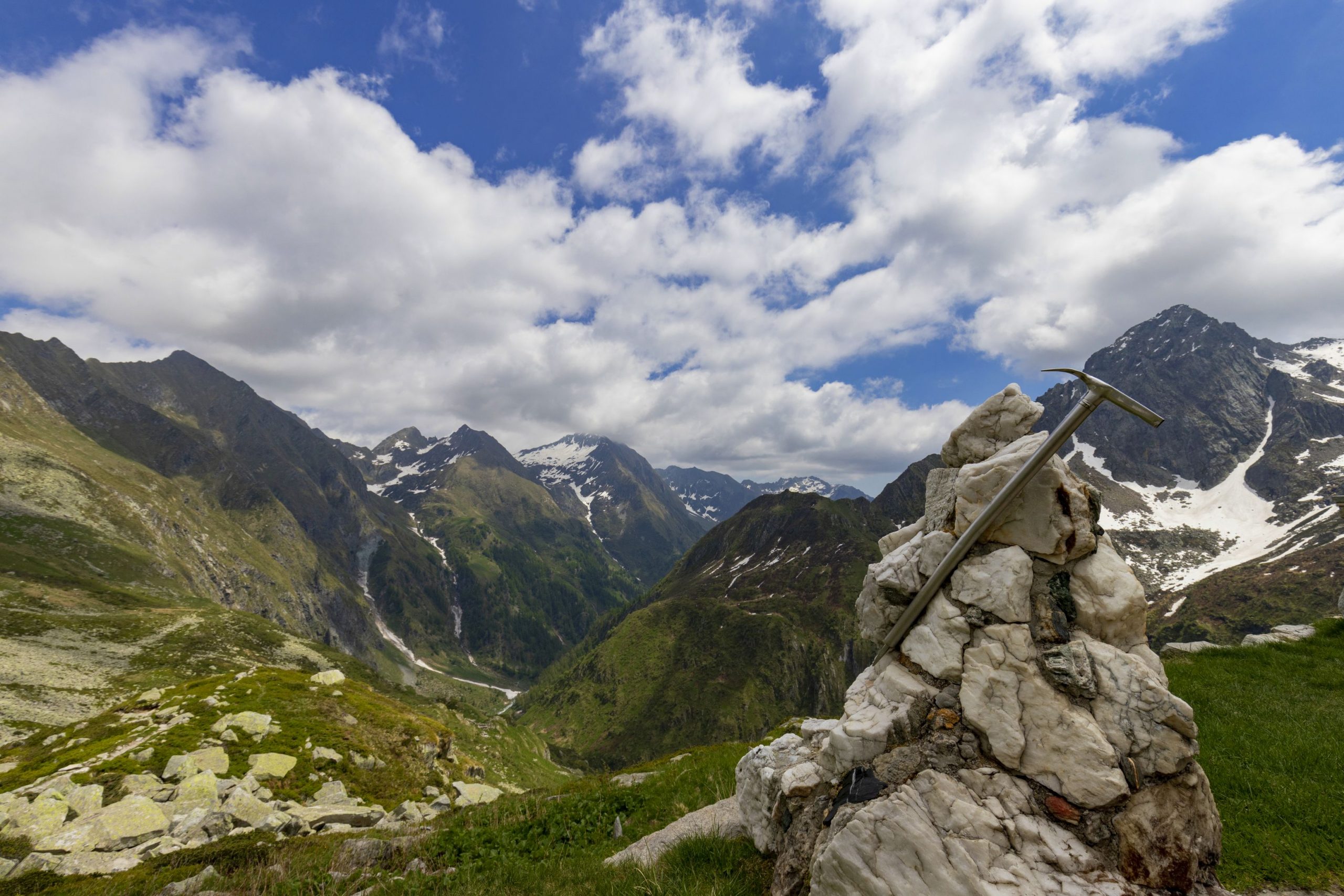
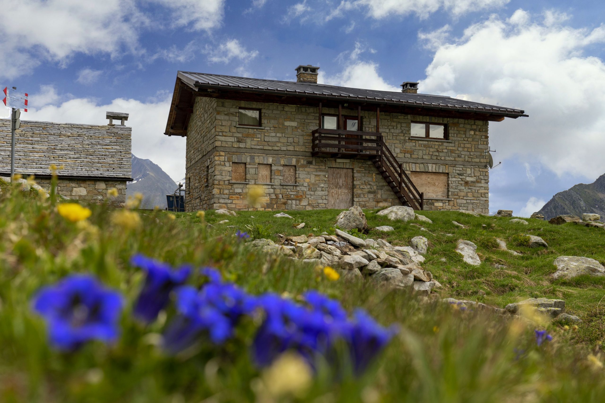
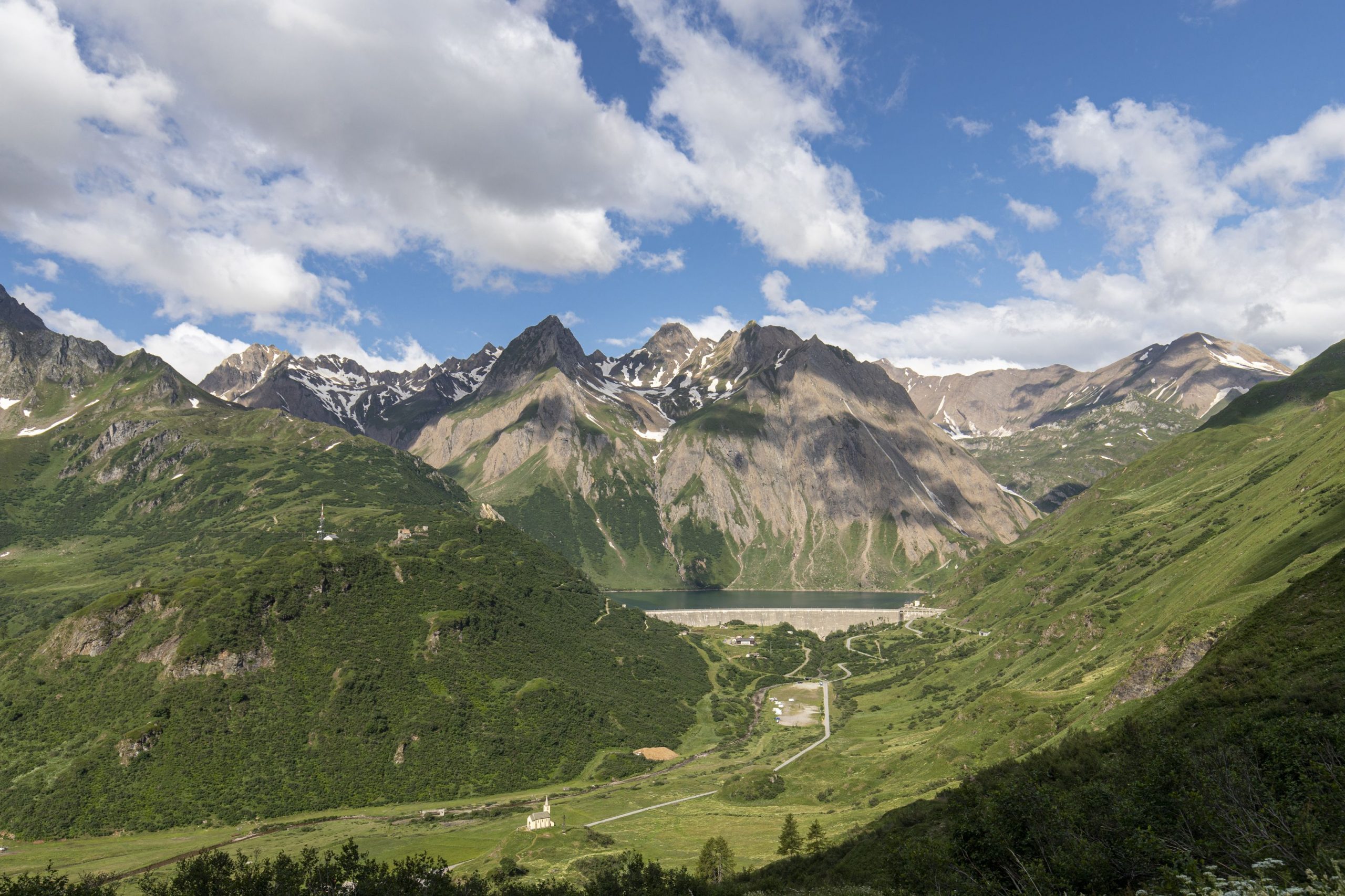
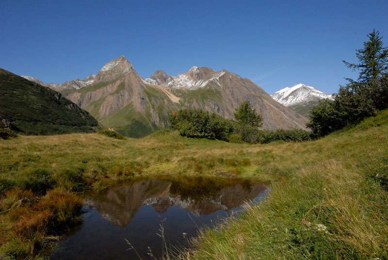
Once this first uphill section is over, the road continues on a false plain crossing the Alpe Toggia basin, reaching the Maria Luisa mountain hut and along the dam of Lago Toggia. Continuing slightly uphill, the road leads to Passo San Giacomo from which there is a beautiful view over Val Bedretto (Switzerland).
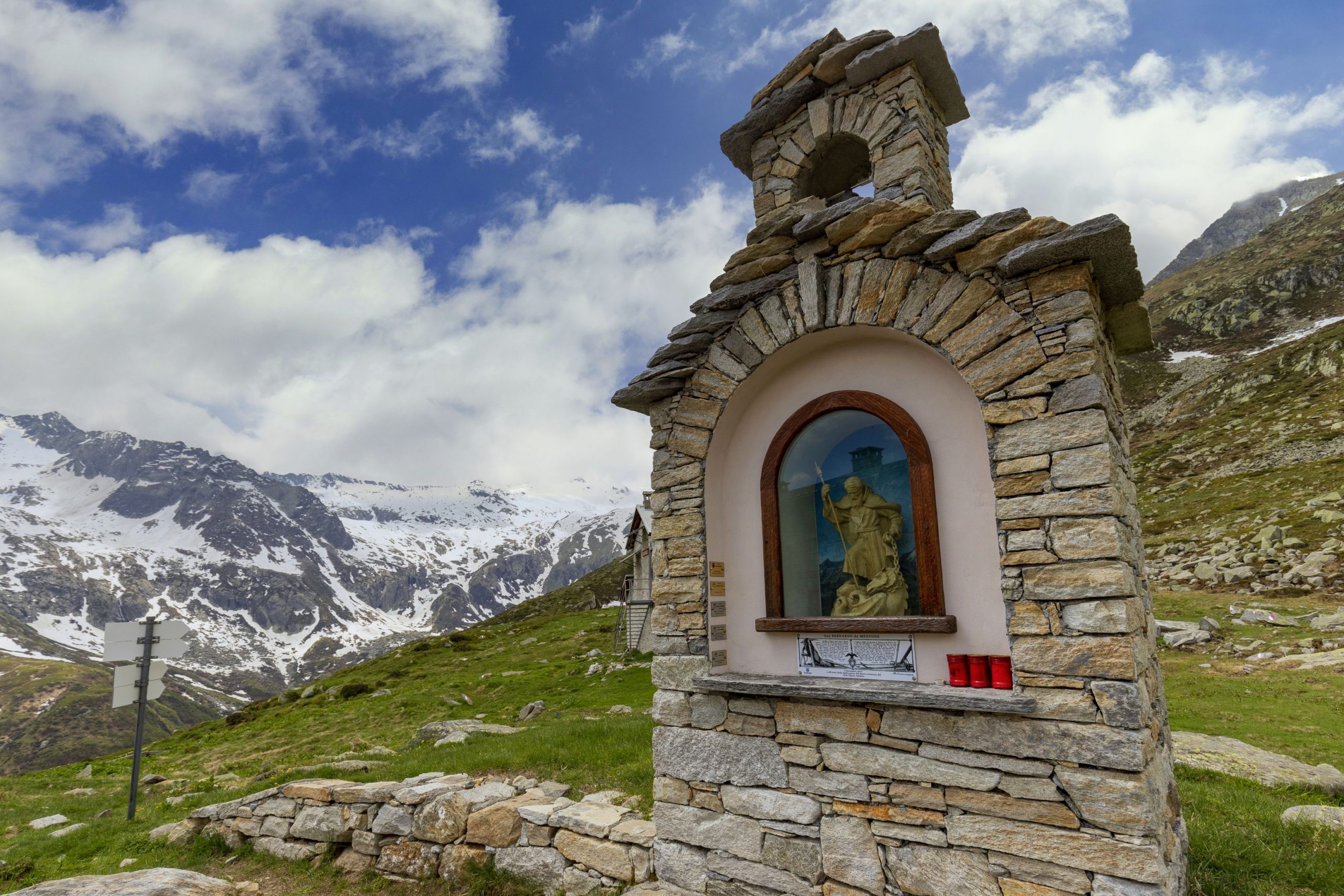
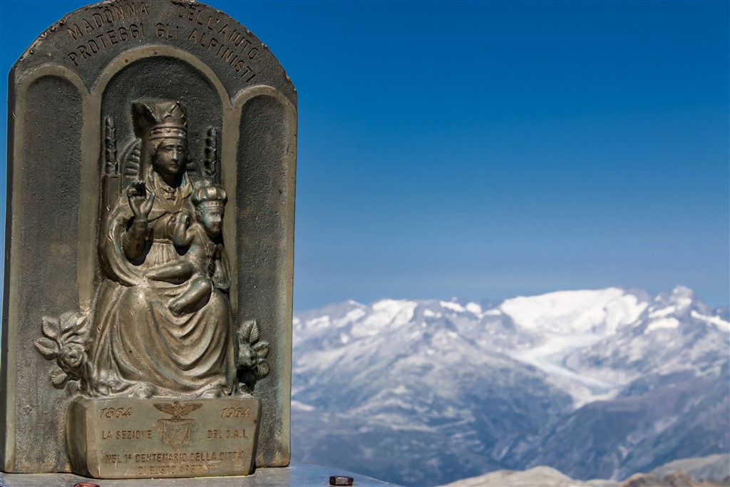
As early as 1885, there was already a small Swiss hut at Passo San Giacomo, which housed the telegraphists who transmitted the situation of the Alta Val Formazza to the Fort of Airolo (Switzerland). Following the construction of the road for the Italian side of Passo San Giacomo, new fortifications were built in the 1930s in Val Bedretto which became the heart of the defence system of this pass: the artillery fort “Grandinagia” and the armoured fortress “San Giacomo”; machine gun stations and artillery camps, shelters and cableways for logistics and supply of the main forts.
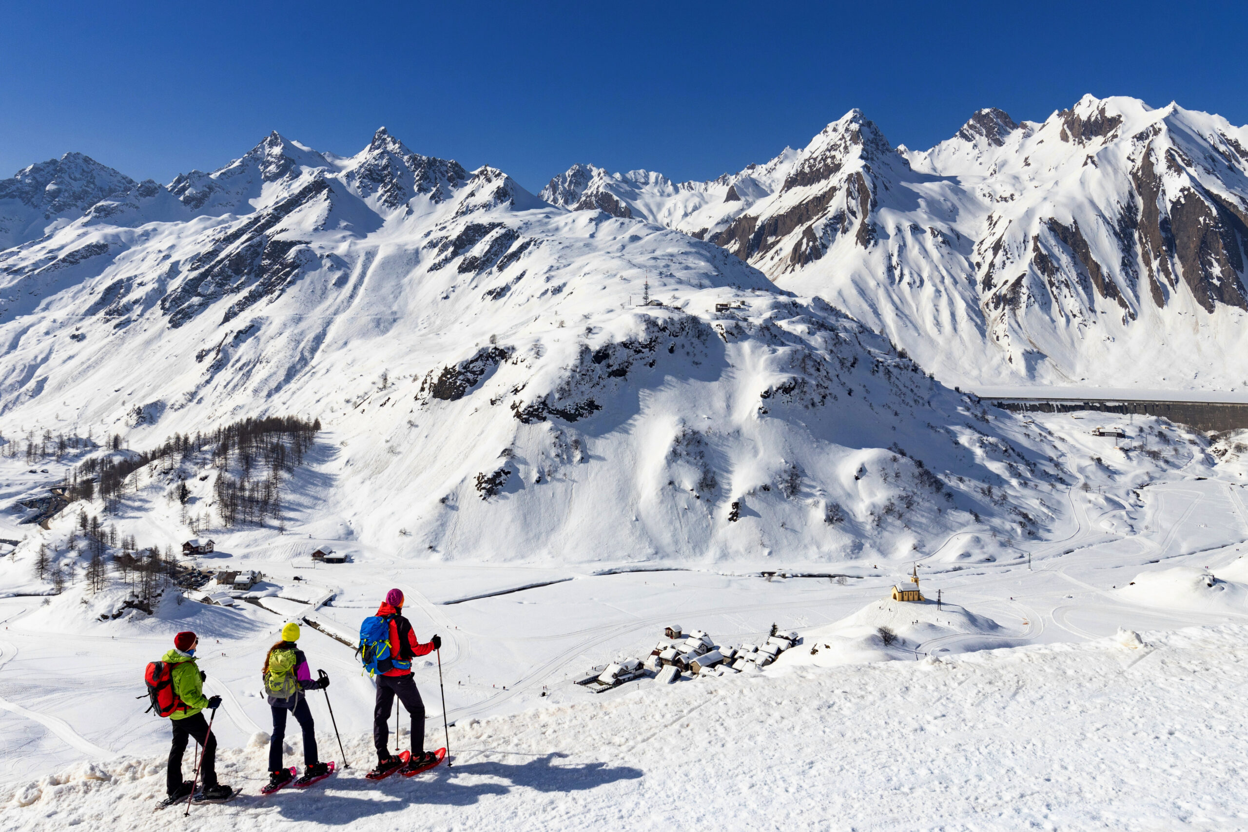
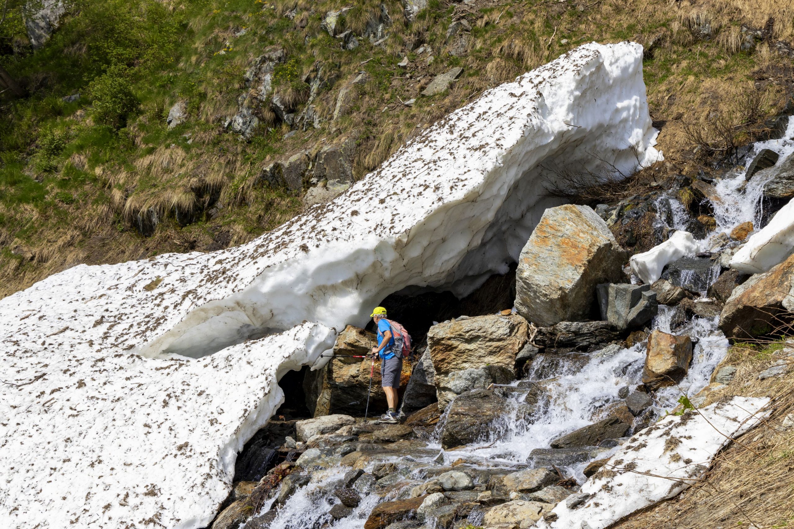
Today, the road is passable on foot and by mountain bike, and in winter with snowshoes and alpine skis (always check the avalanche bulletin).
Points of interest
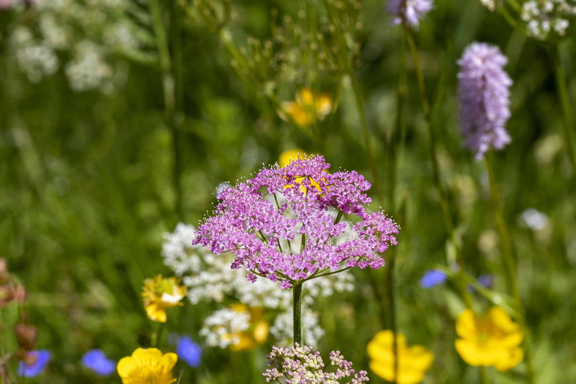
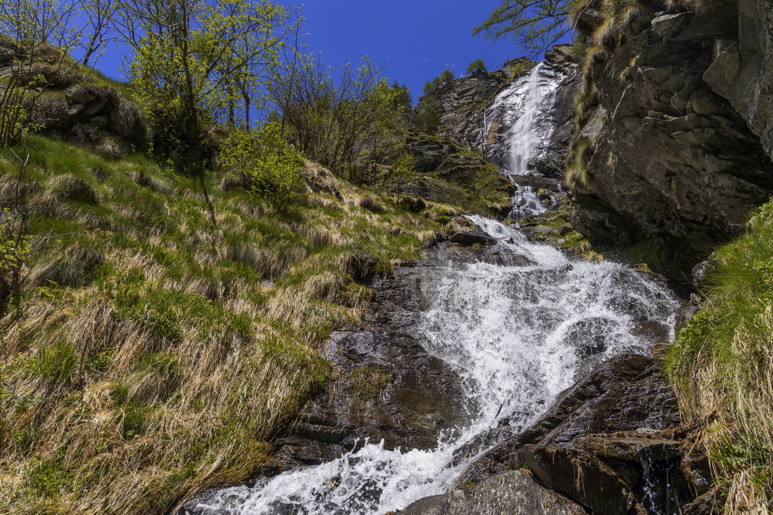
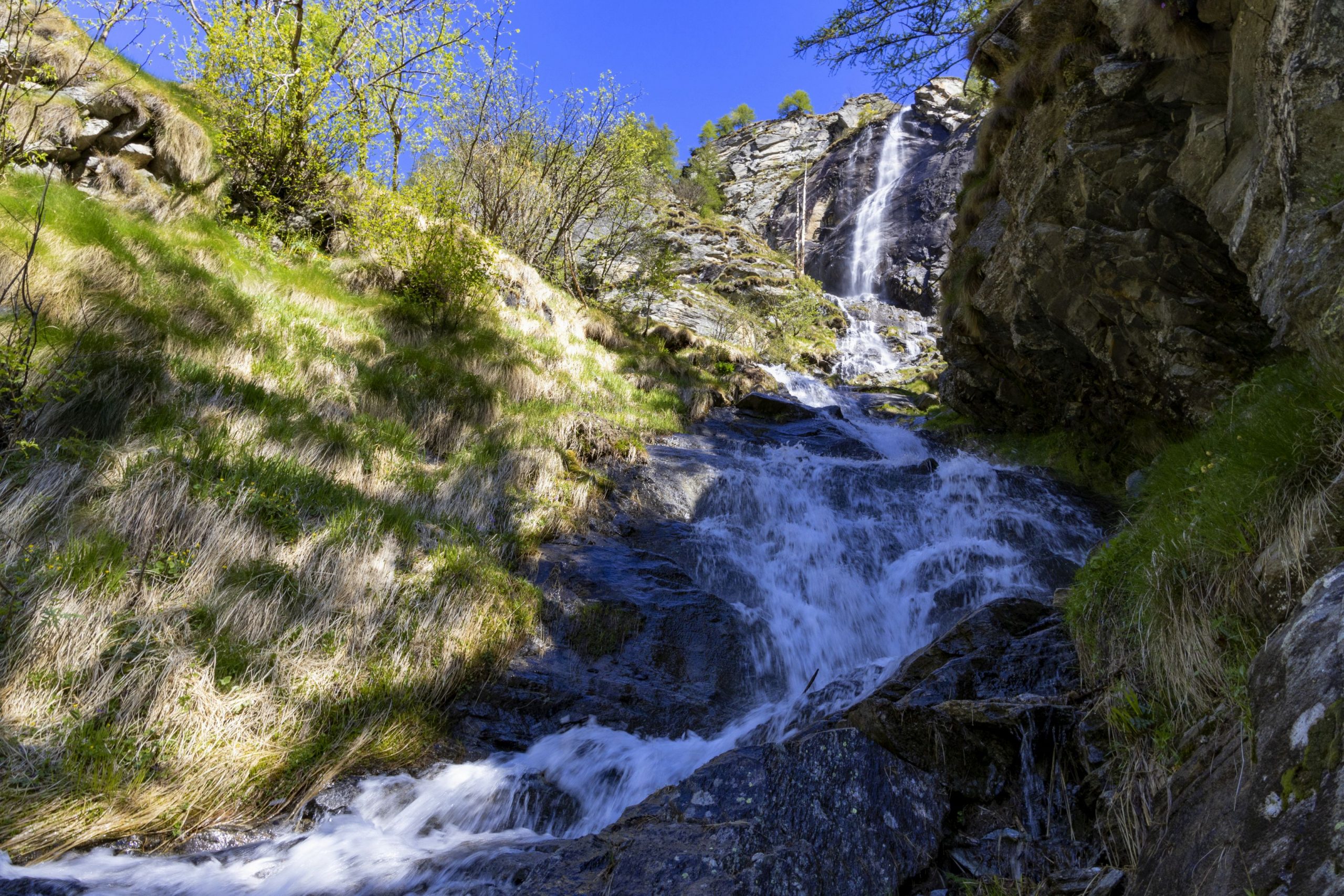
The symbol of Val Formazza is the Cascata del Toce, which is known as “the most beautiful and majestic of all Alpine waterfalls” thanks to a drop of 143 m. A visit to the village of Formazza is well worth it for its hamlets with the characteristic name of Titsch (local Walser language) in which to soak up the Walser atmosphere. Numerous routes depart from Cascata del Toce and from Riale for trekking and MTB enthusiasts. There is also the natural and tourist attraction of Premia Terme, which is a modern spa centre with internal/external pools with hot water and wellness area (www.premiaterme.com).
Back to the list of routes

INTRA – CANNERO RIVERA – SAN BARTOLOMEO
LAKE MAGGIORE: VIA DELLE GENTI
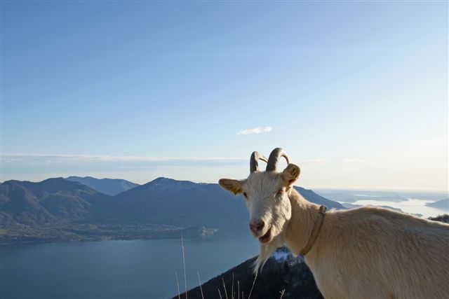
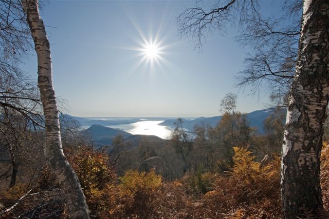
Lago Maggiore
Route description
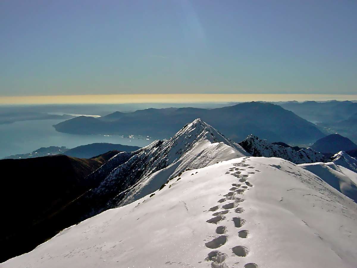
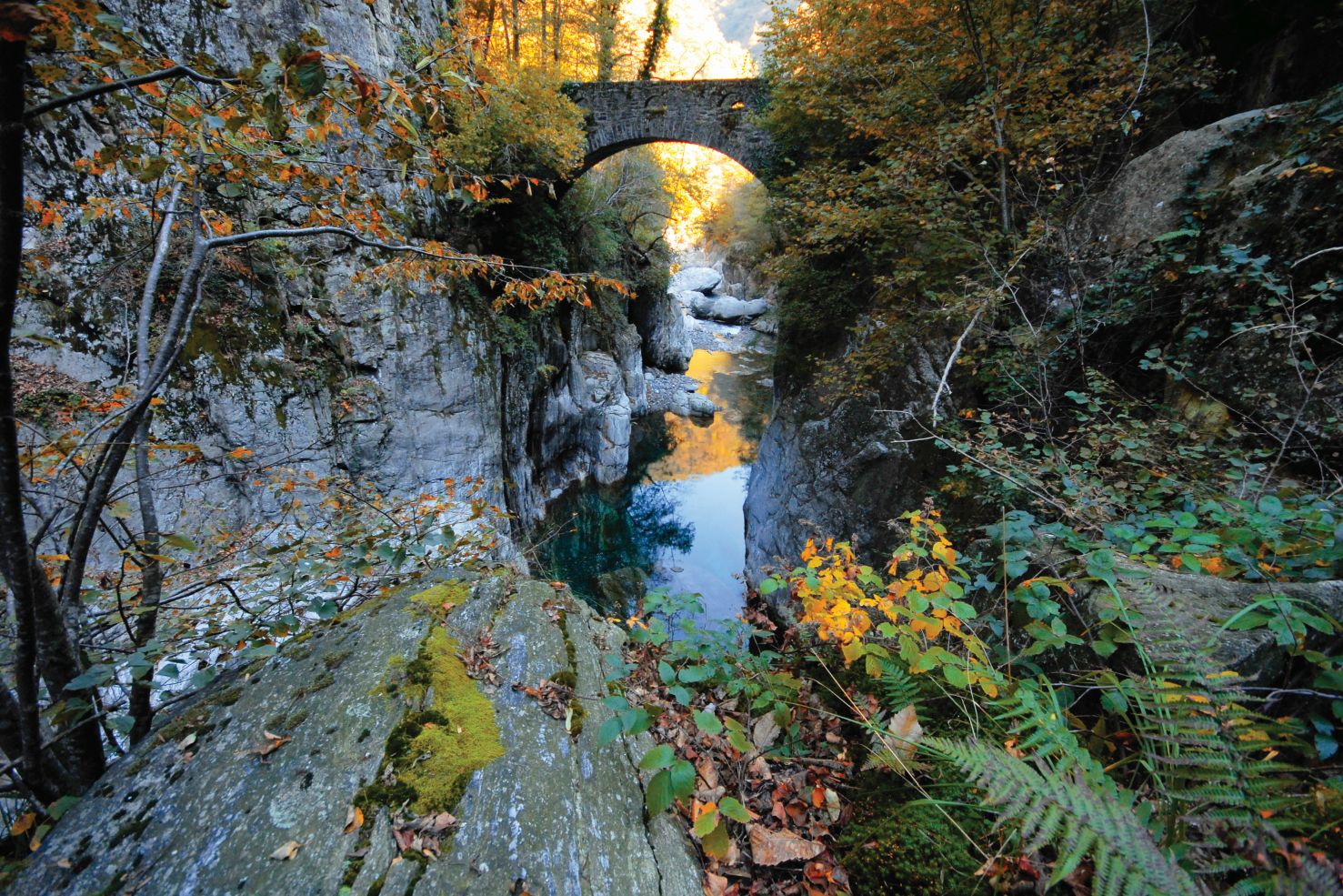
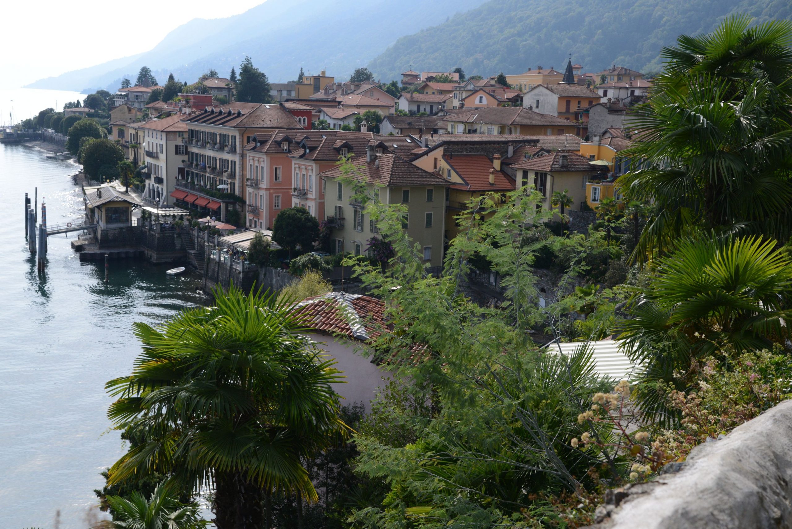
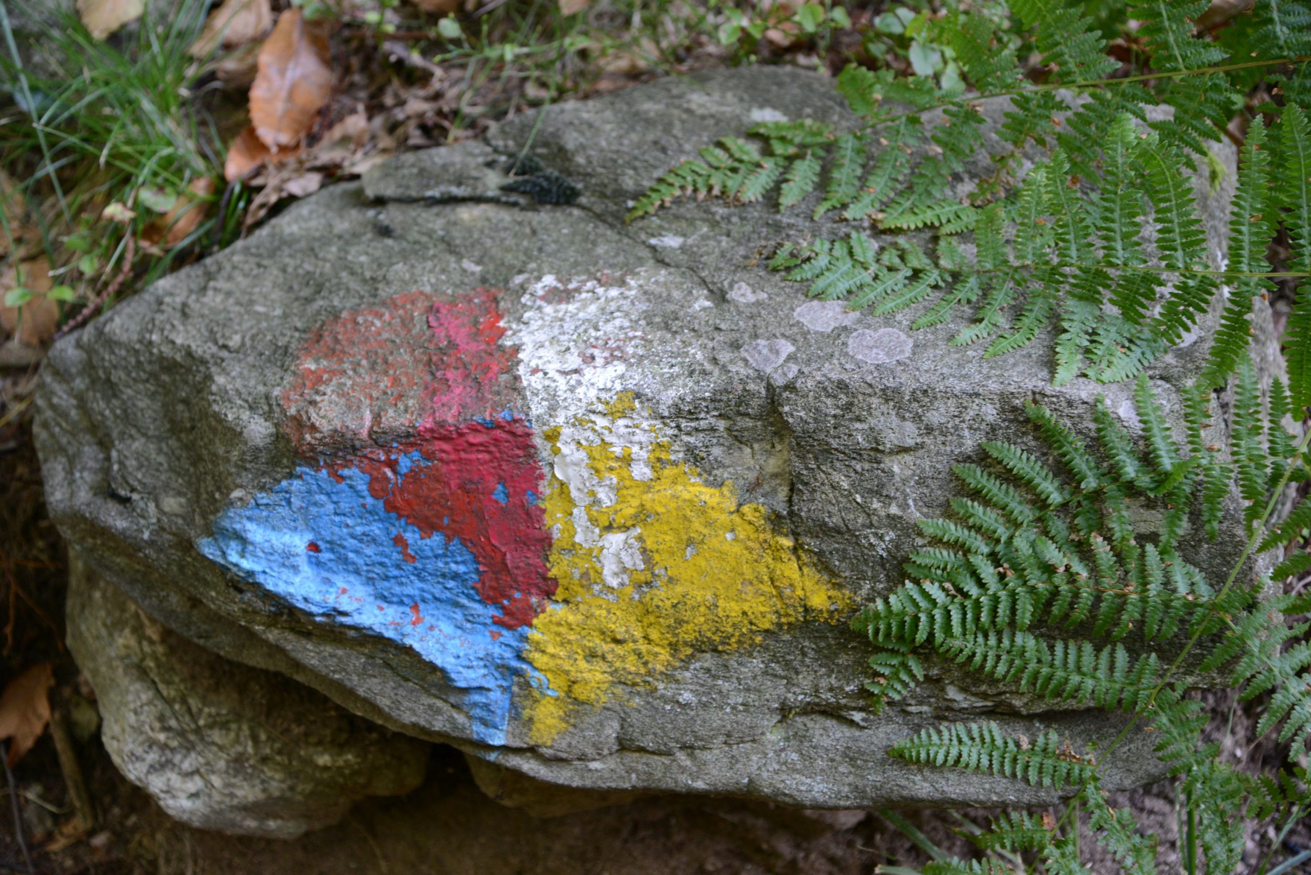
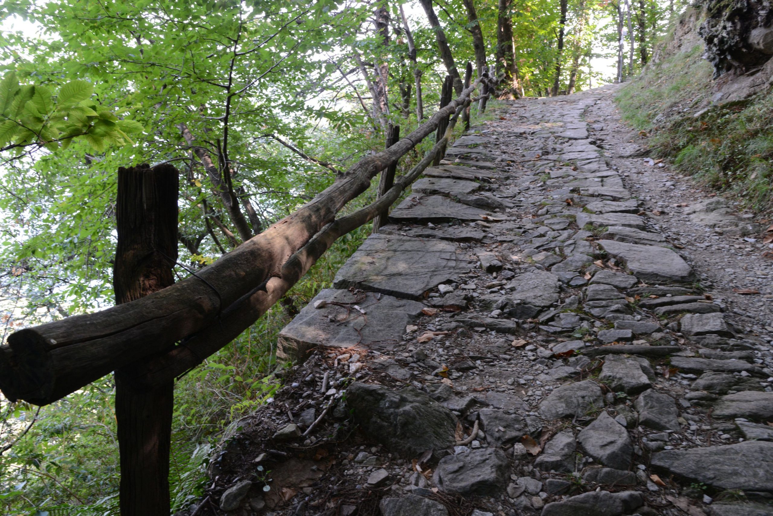
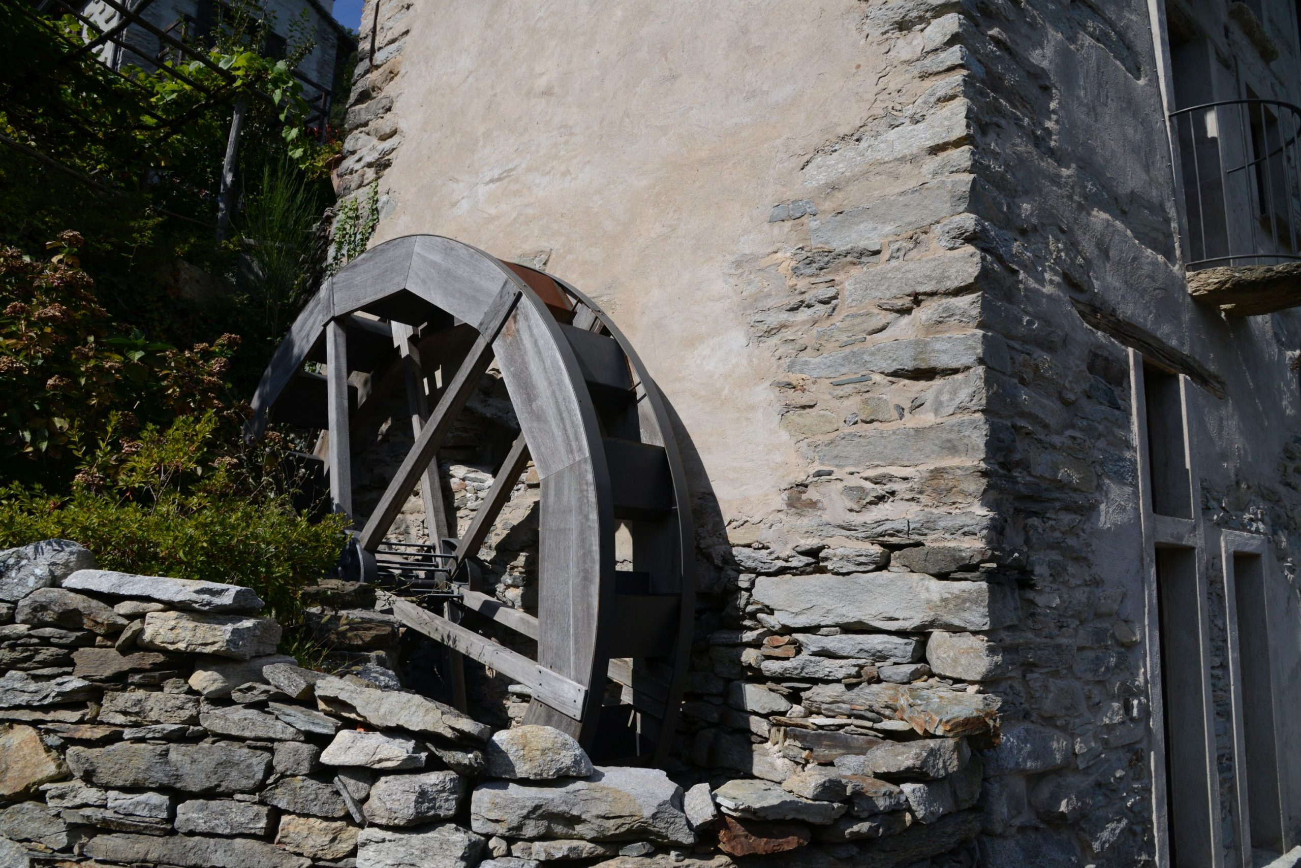
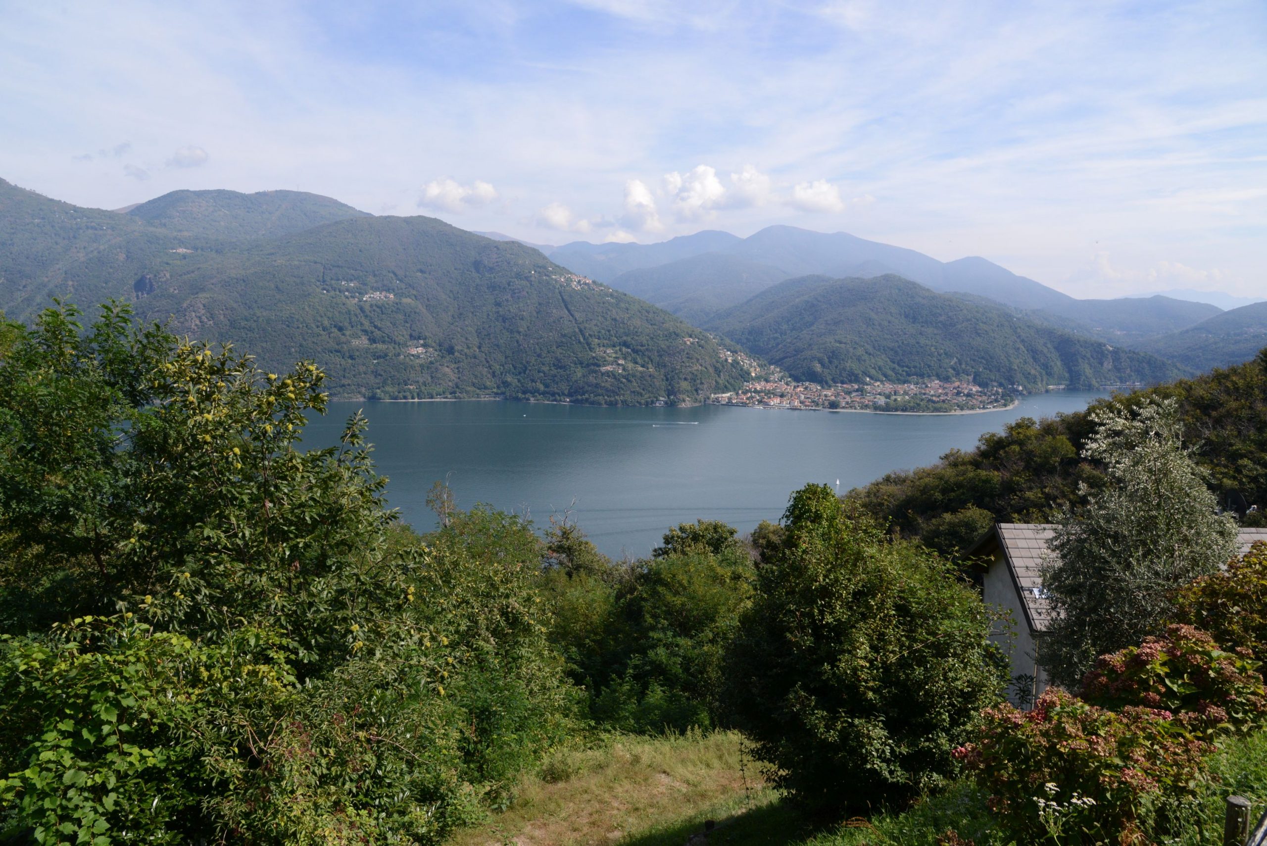
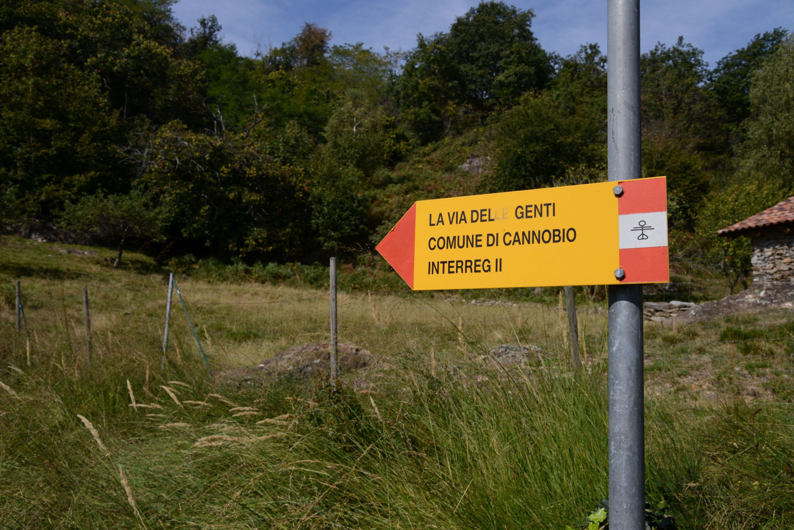
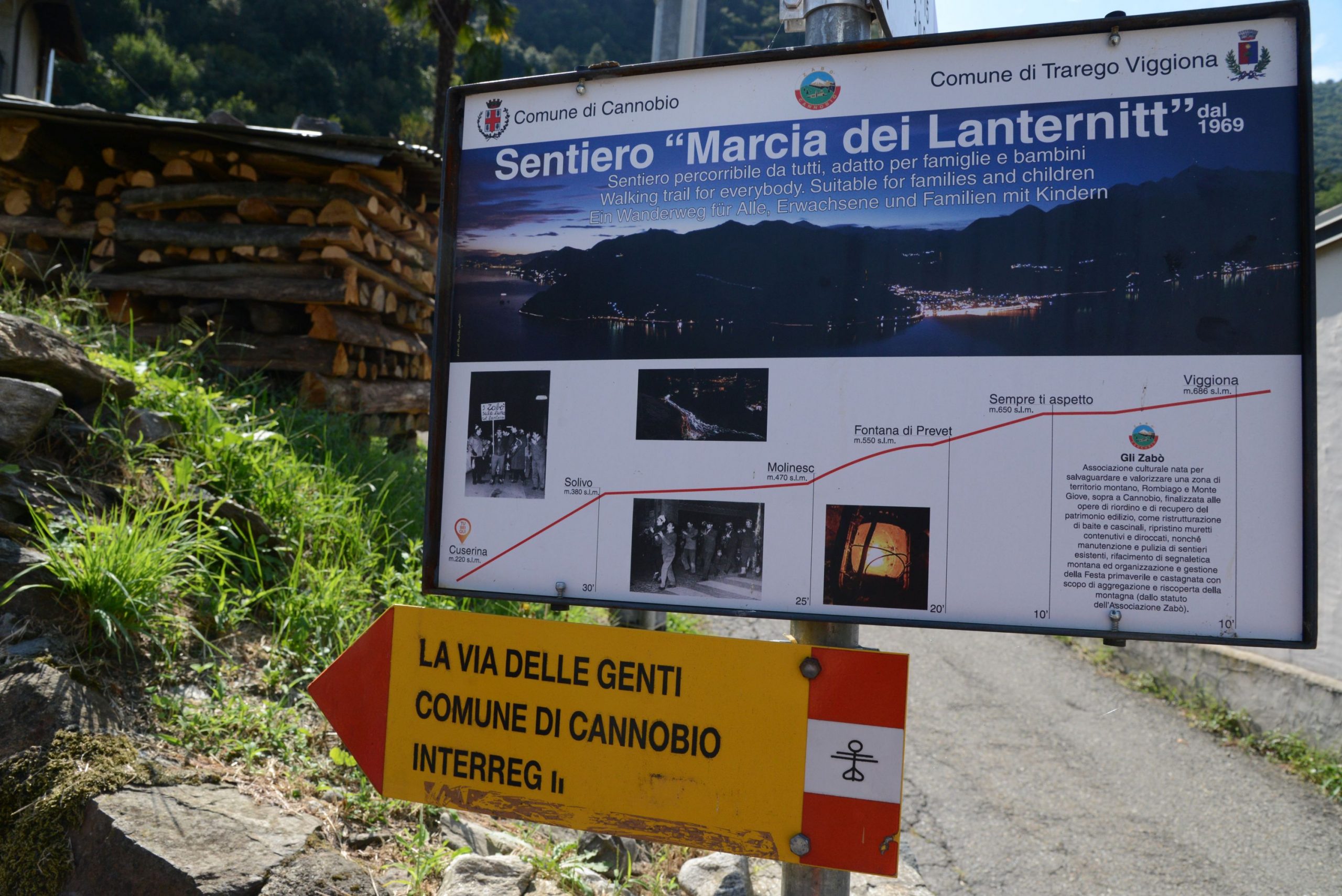
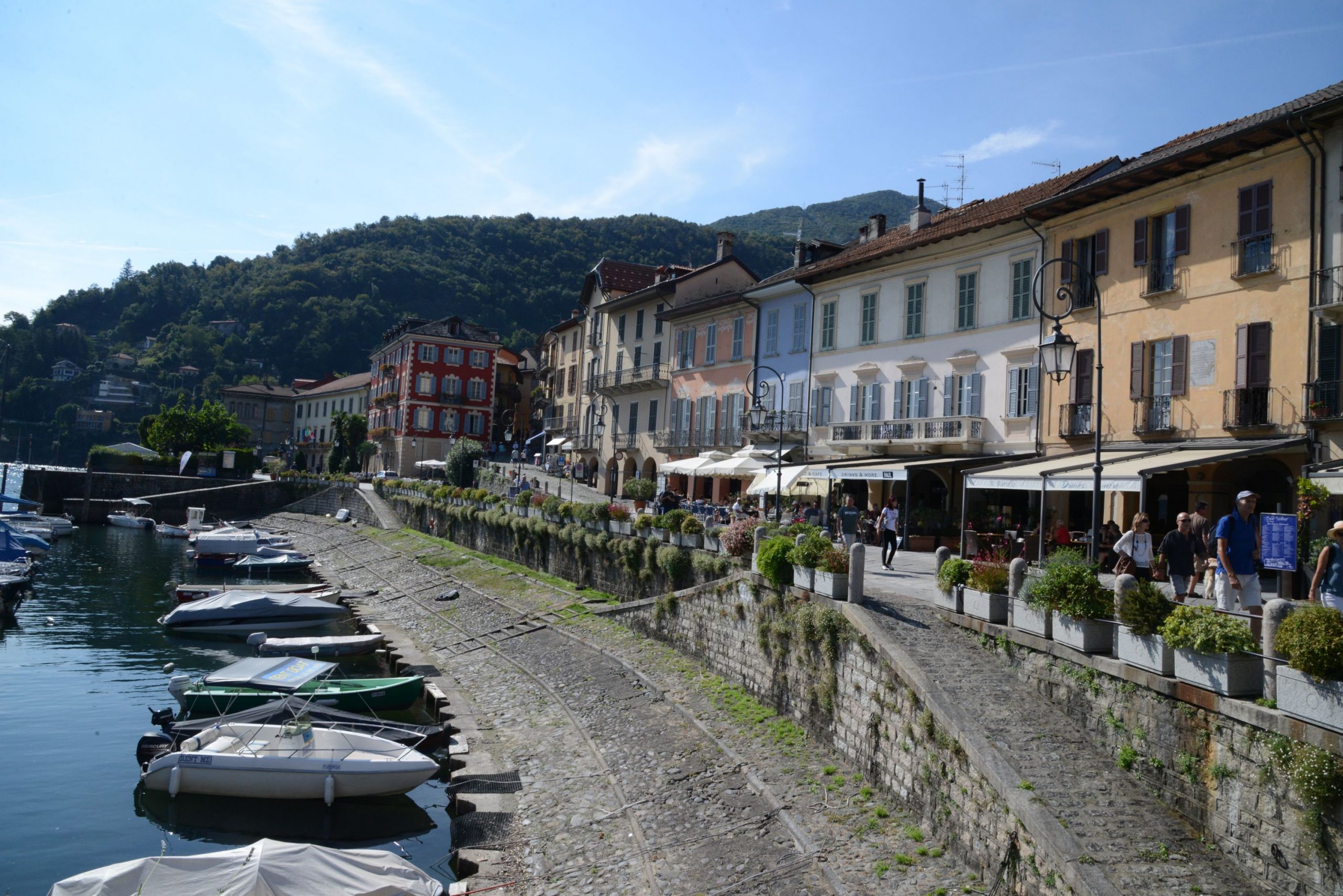
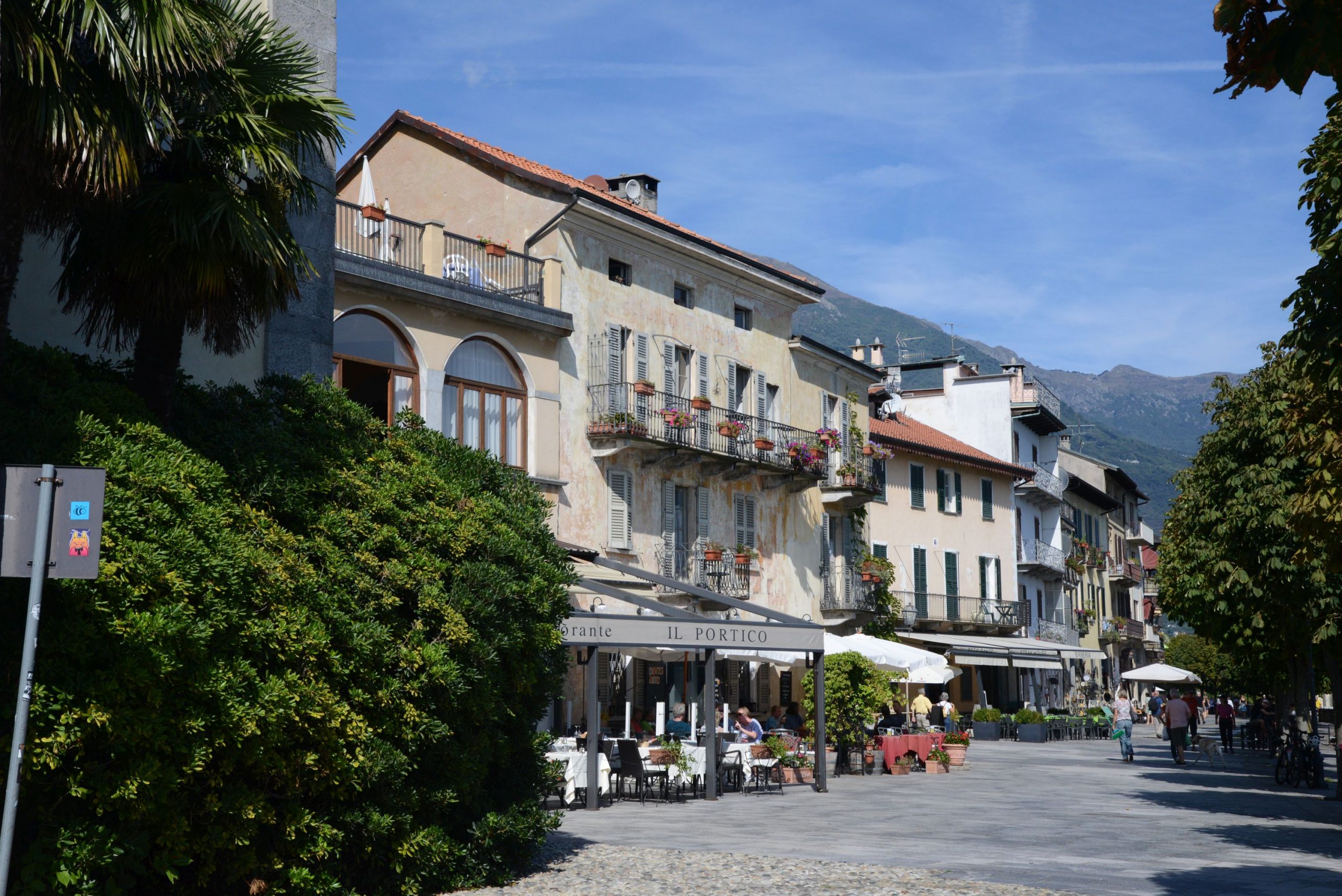
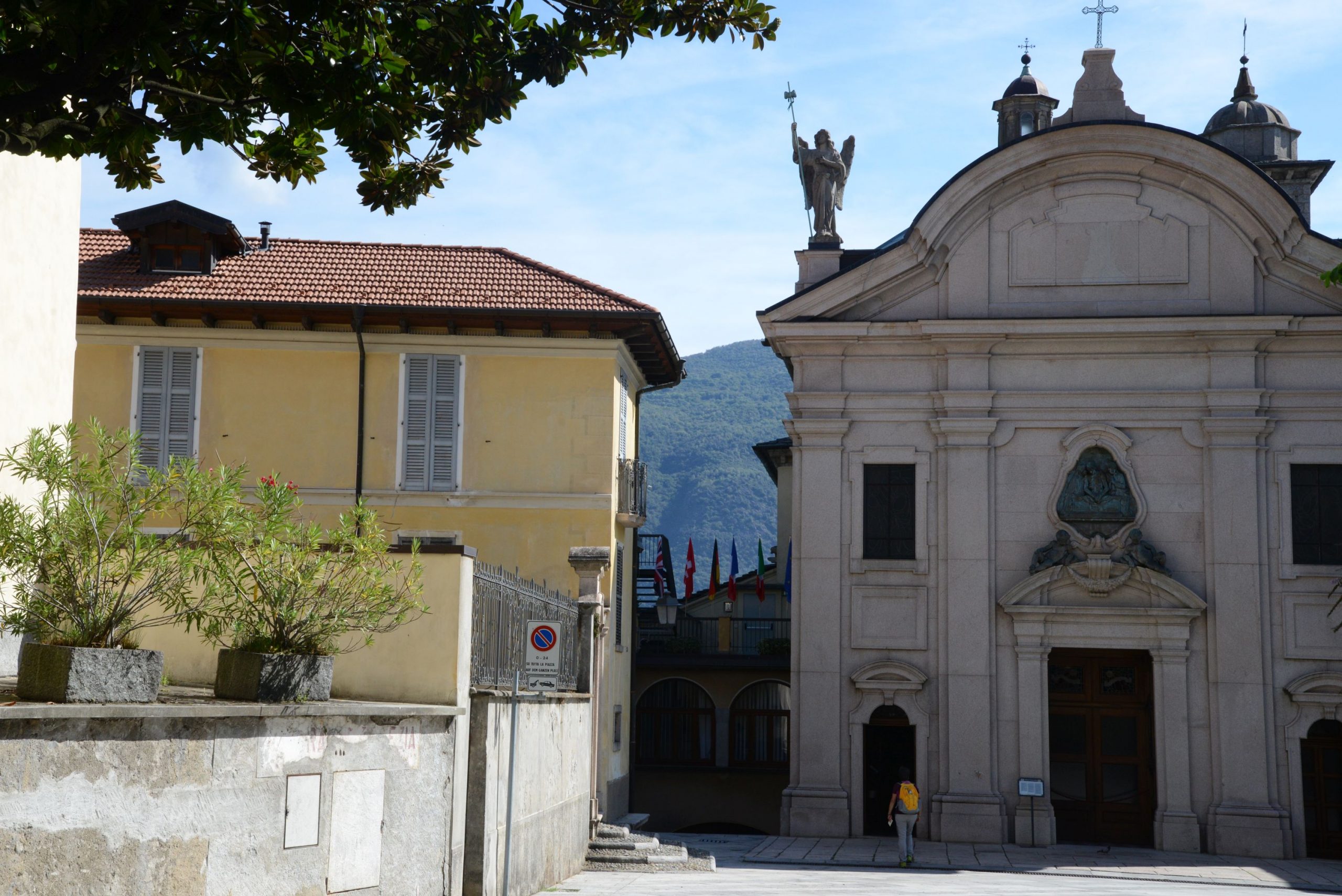
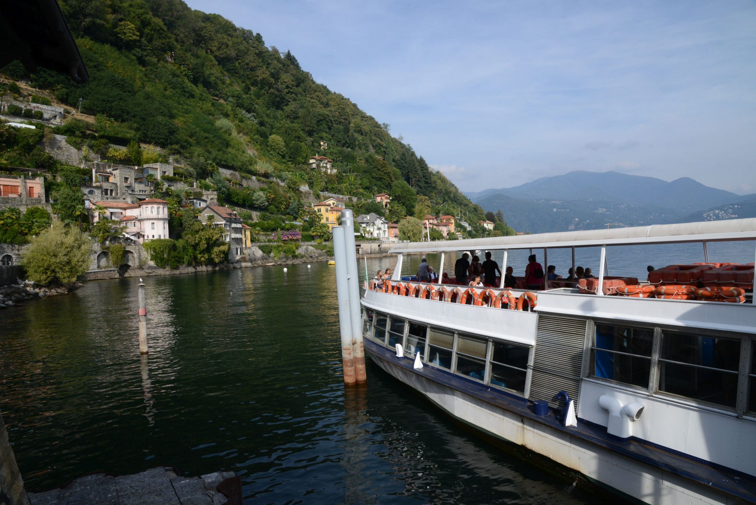
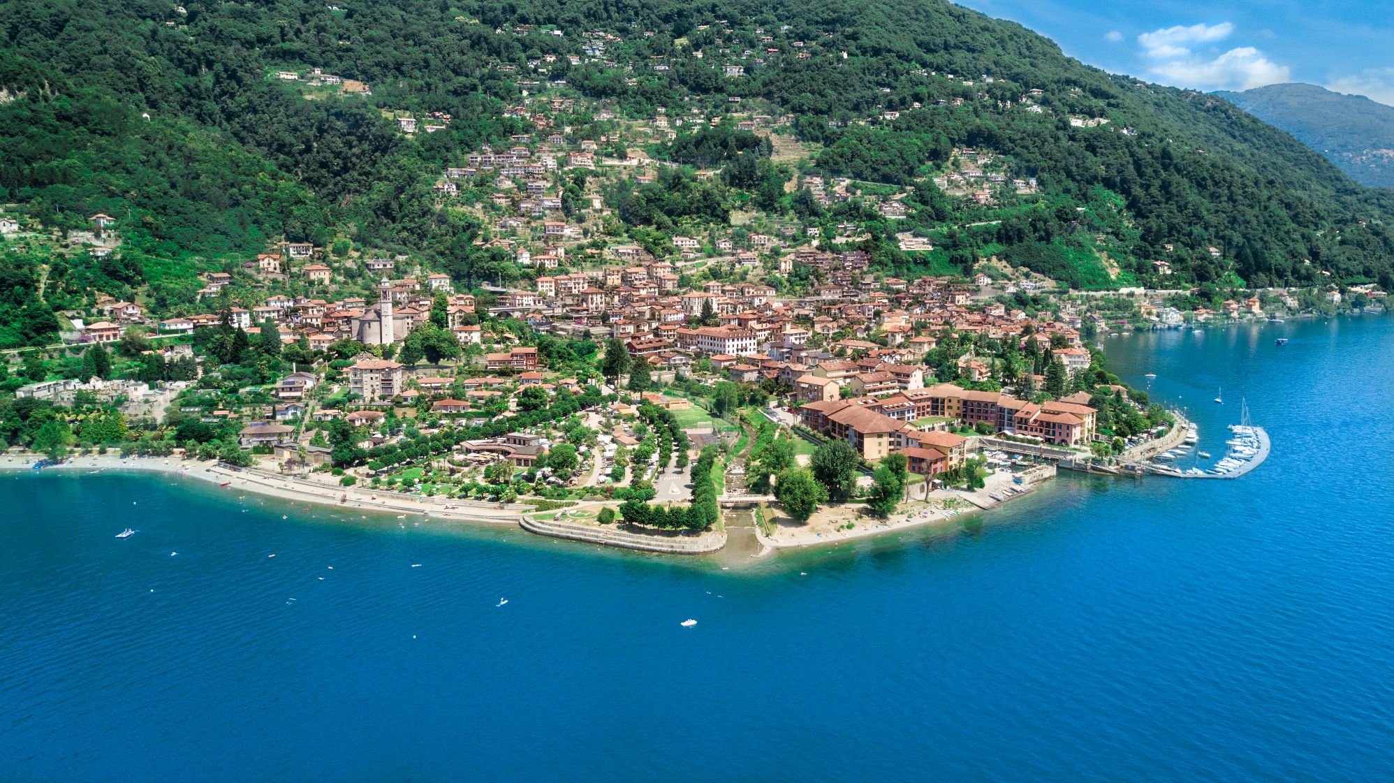
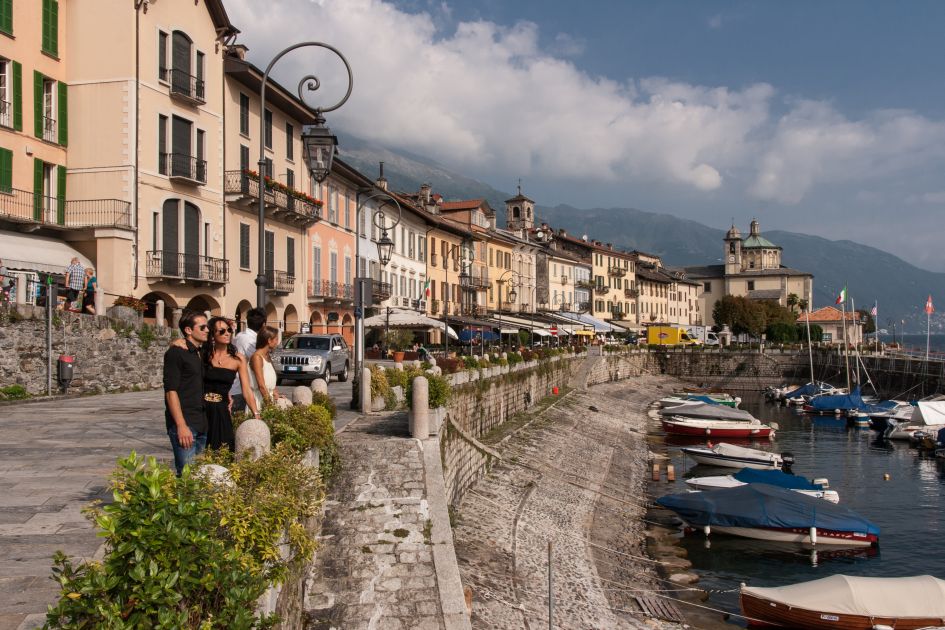
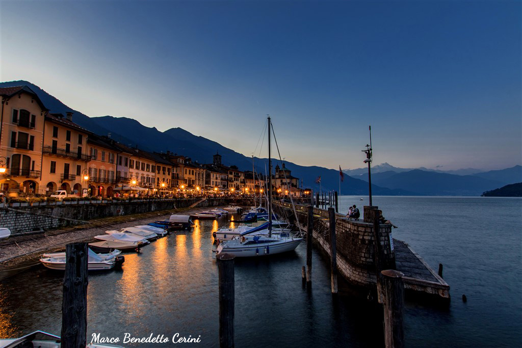
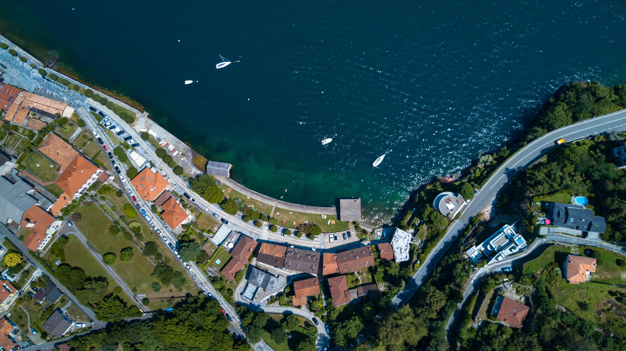
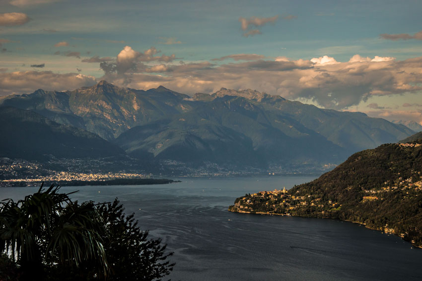
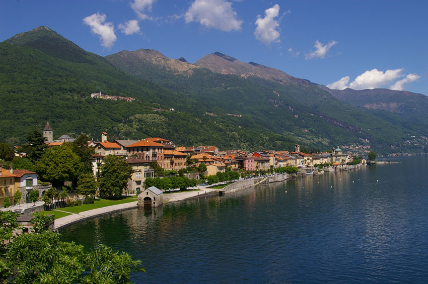
The “Via delle Genti” from Verbania Intra to the Swiss border was the ancient connecting road between the villages of Verbano and Switzerland.
The Via continued into Switzerland along the villages of Lake Maggiore up to Locarno and then to the Magadino Plain, where it joined the road that climbed up to the San Gottardo Pass.
The stretch from Verbania to the State Border can be traveled in two pleasant stages all year round, except when snowfall is forecast.
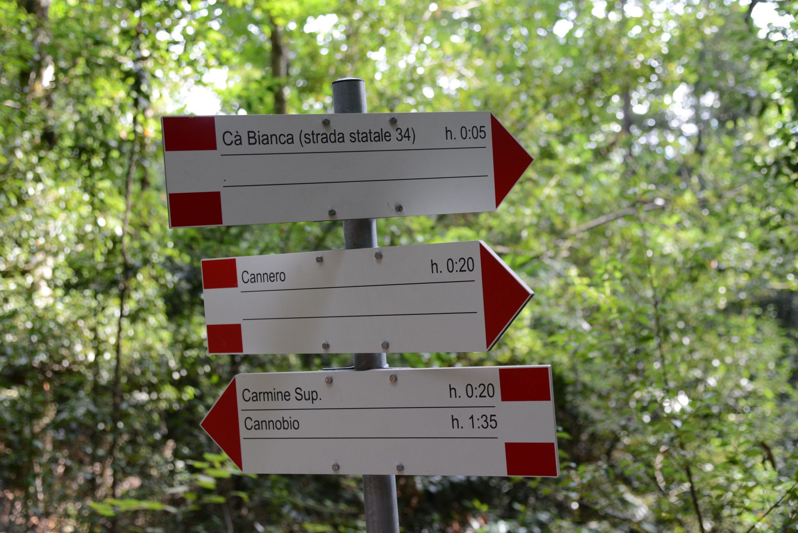
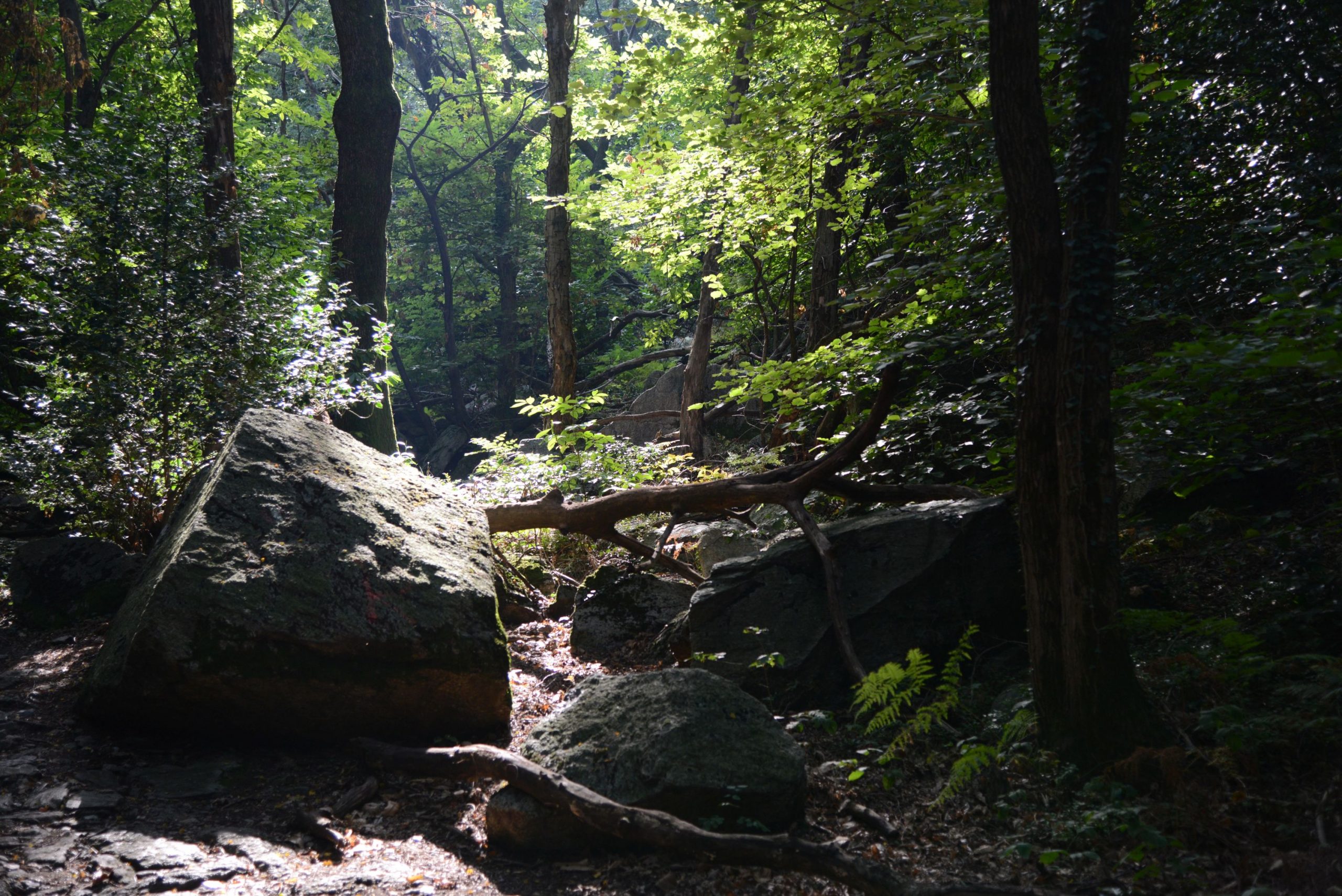
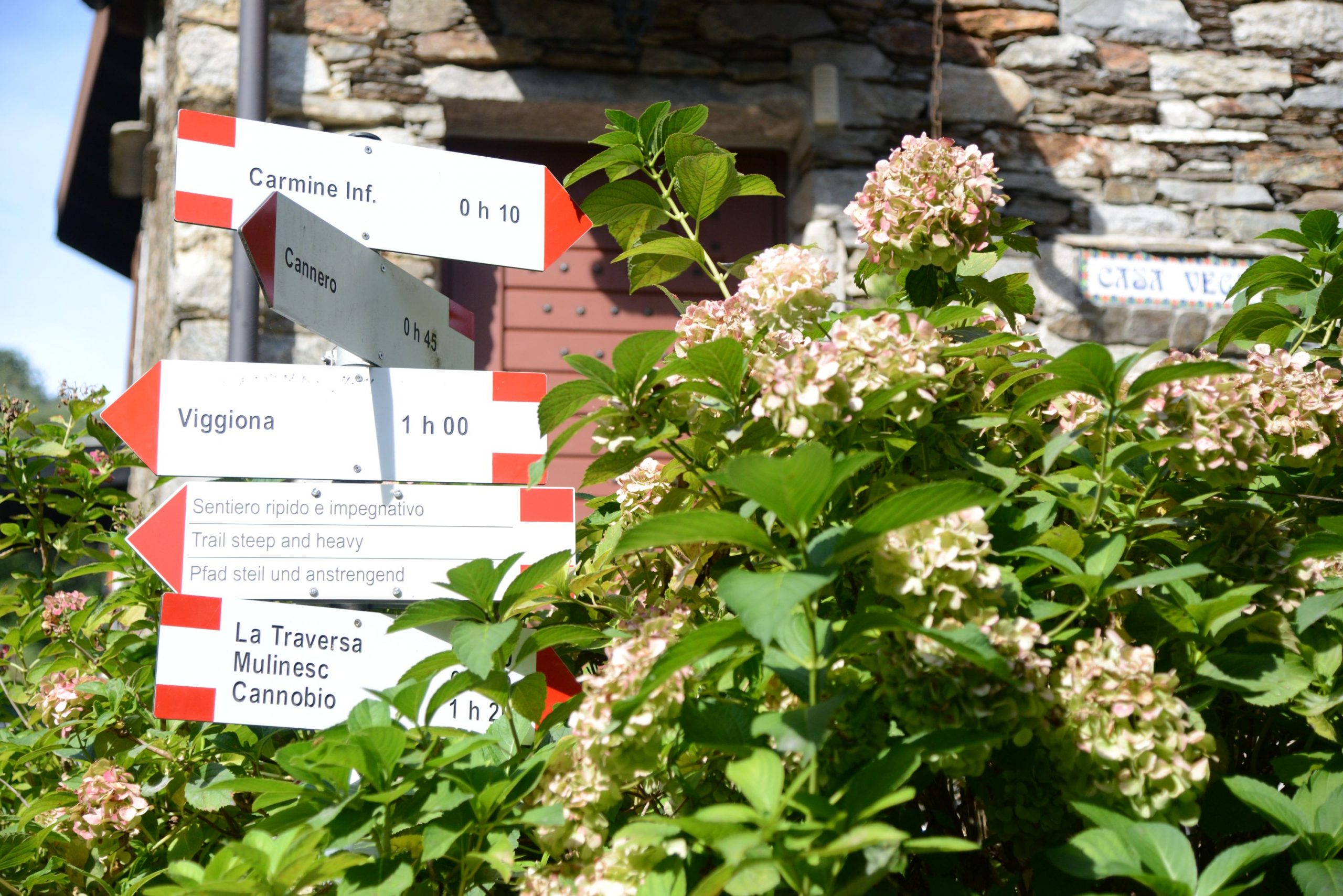
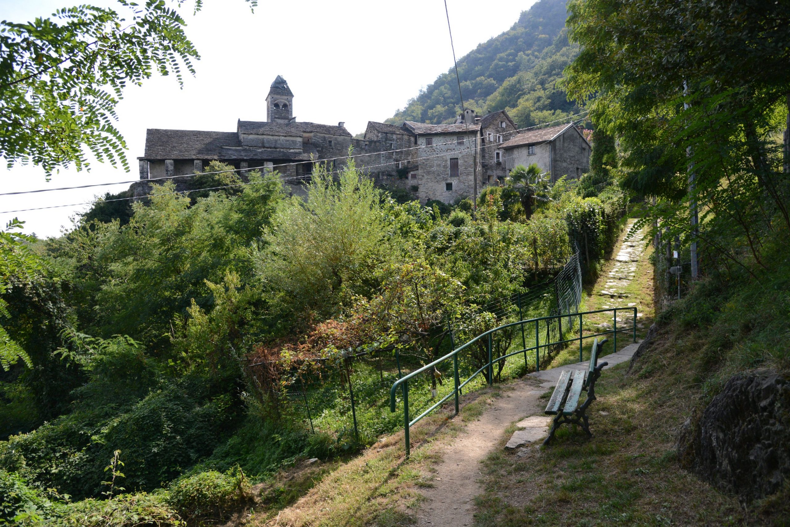
It is an itinerary that takes place halfway up the mountainside, always with a beautiful view of Lake Maggiore, and that allows passing through small villages and the Sacro Monte di Ghiffa Reserve, a UNESCO World Heritage Site, finally reaching the beautiful lakeside villages of Cannero and Cannobio.
Info and stops: https://www.piemonteoutdoor.it/it/attivita/escursionismo/delle-genti
Back to the list of routes
MULTIPLE-STOP ROUTES
VIA BORROMEA
Valle Cannobina
Route description
This ancient traffic route for people and goods hailing from Cannobina takes its name from St. Carlo Borromeo, who visited the Valley in 1574.
The Saint slept in Gurro, where the splendid “Casa S. Carlo” preserves this memory.
Along the mule-track, two shrines remind of the tale of the mule that carried Borromeo and that, in the stretch where the mule-track begins to descend into the Valley of Cavaglio from Traffiume, threw the illustrious pilgrim from the saddle. The Saint miraculously escaped the lethal fall into the abyss.
The trail connects the Sanctuary of Re in Val Vigezzo with the Sanctuary of the Madonna della Pietà in Cannobio. It allows discovering the most charming corners of the Cannobina valley.
Info and stops: https://www.piemonteoutdoor.it/it/attivita/escursionismo/borromea
Back to the list of routes
4-STOP ROUTE
STRA’ GRANDA
Valle Anzasca
Route description
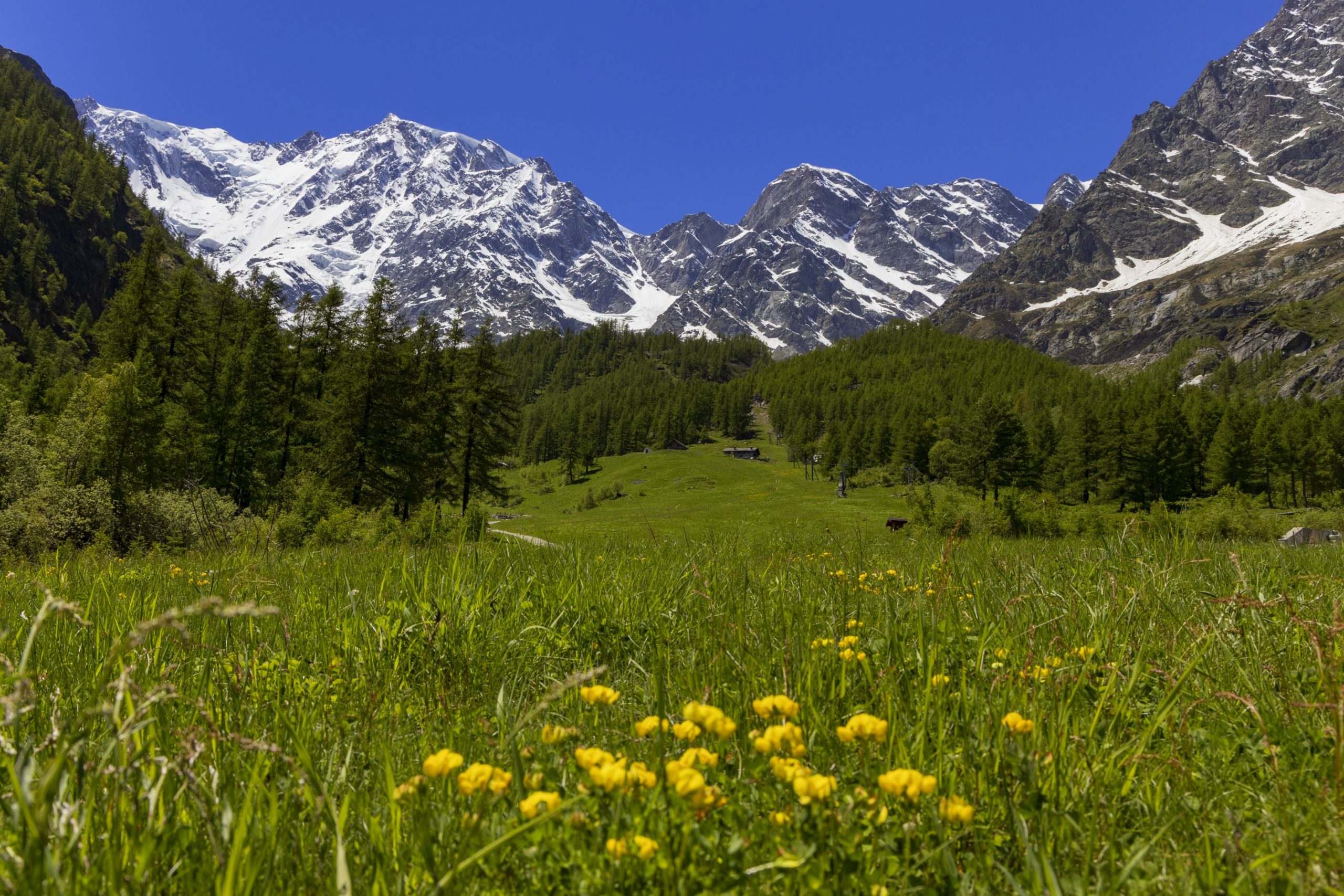
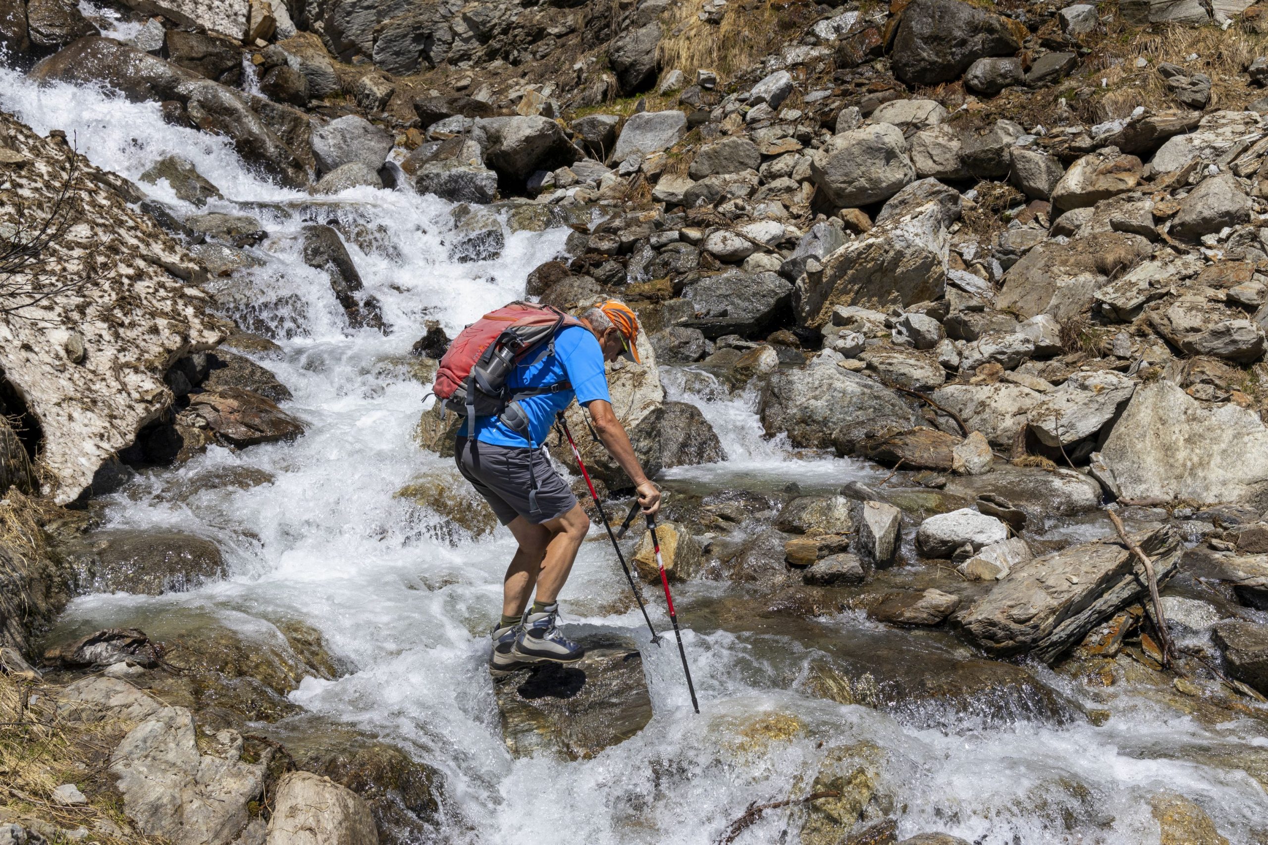
In 1553 the Anzasca Valley was toured by Joachim de Annono, “homo da bene” and official representative of the Spanish Governor of Milan. He was a man of power who came to check on the Anzasca Valley’s dwellers’ payments of the exorbitant “Mensuale” tax. He stayed in the Valley for 14 days and, upon his return wrote an accurate and documented report.
In that report, he described the Strà Granda for the first time, explaining that from Piedimulera the road went up to Macugnaga and then again up the steep mountain ridge of Monte Moro to the Saas Valley.
The medieval road in the Anzasca Valley is at the center of his journey: “…I find that said Valley has little or almost no plain and is about sixteen miles long wedged between mountains of great height. In the middle of the Valley a great stream called the Anza flows, which originates from a glacier, permanent at the bottom of said Valley and said stream grows to form other streams that flow down here and there from said mountains and to enter said Valley one must climb a mountain for about a mile, then one finds the road to the right built within the mountains, about an arm and a half wide, and in that spot, it is rather high and steep …”
After 400 years, this route following on the footsteps of Joachim de Annono is still there and accessible today. The history of the Valley was written on the dirt road that marks its hairpin bends. It is not the Great History of humankind but that humble and hidden of muleteers who traveled to Switzerland or valley dwellers who journeyed down to the market of Vogogna to buy grain supplies. Each hairpin bend witnessed the furious village feuds and the passing of loads of gold traveling down to the towns.
Walking on the Strà Granda of Anzasca means journeying through time on a historical trail connecting the valleys. Above Piedimulera stand the oratory of San Giovanni Nepomuceno, patron saint who protected against drowning and floods (and curses!). In Mezzamulera, famous for hemp weaving artisans, unique niches in the wall bear witness to the mules’ loading in ancient times.
In Cà Turnal an anvil, tongs, and a hammer engraved on a stone slab show the Ferraria’s Ghibelline coat of arms, one of the factions whose feuds bloodied the Ossola area in the sixteenth century. In addition, it is possible to visit the ovens for the collective baking of bread a few times a year, the consortium’s presses to press the wine marc (a small masterpiece of rural engineering is located in Morlongo), and the mills and grindstones to press and obtain walnut oil. Hundreds were the finds of the peasant material culture scattered along the Strà Granda, which became a thematic route at discovering the Alps civilizations that populated these mountains.
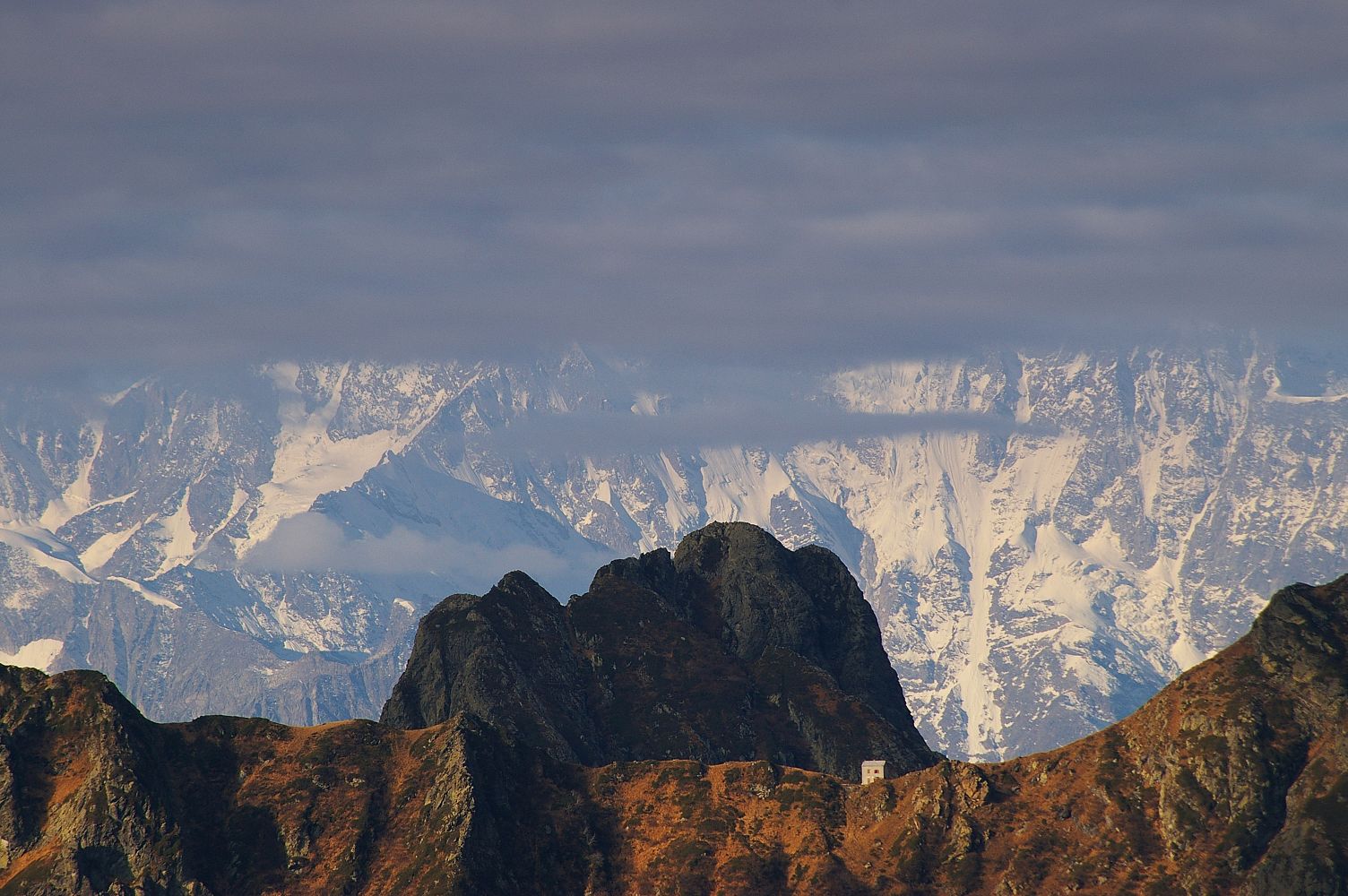
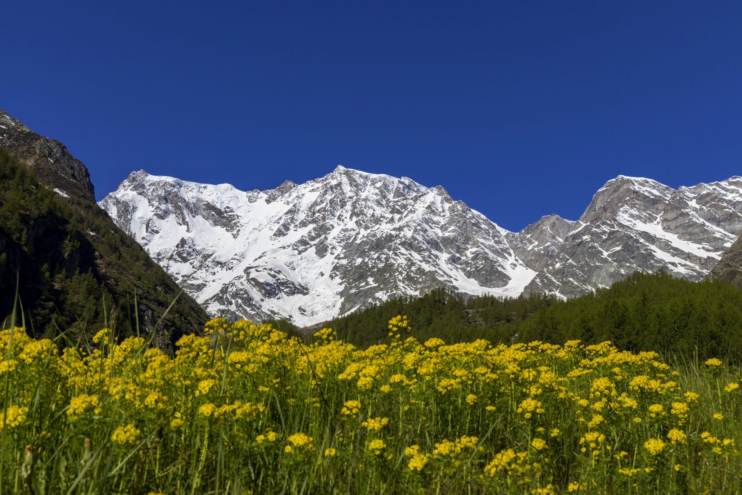
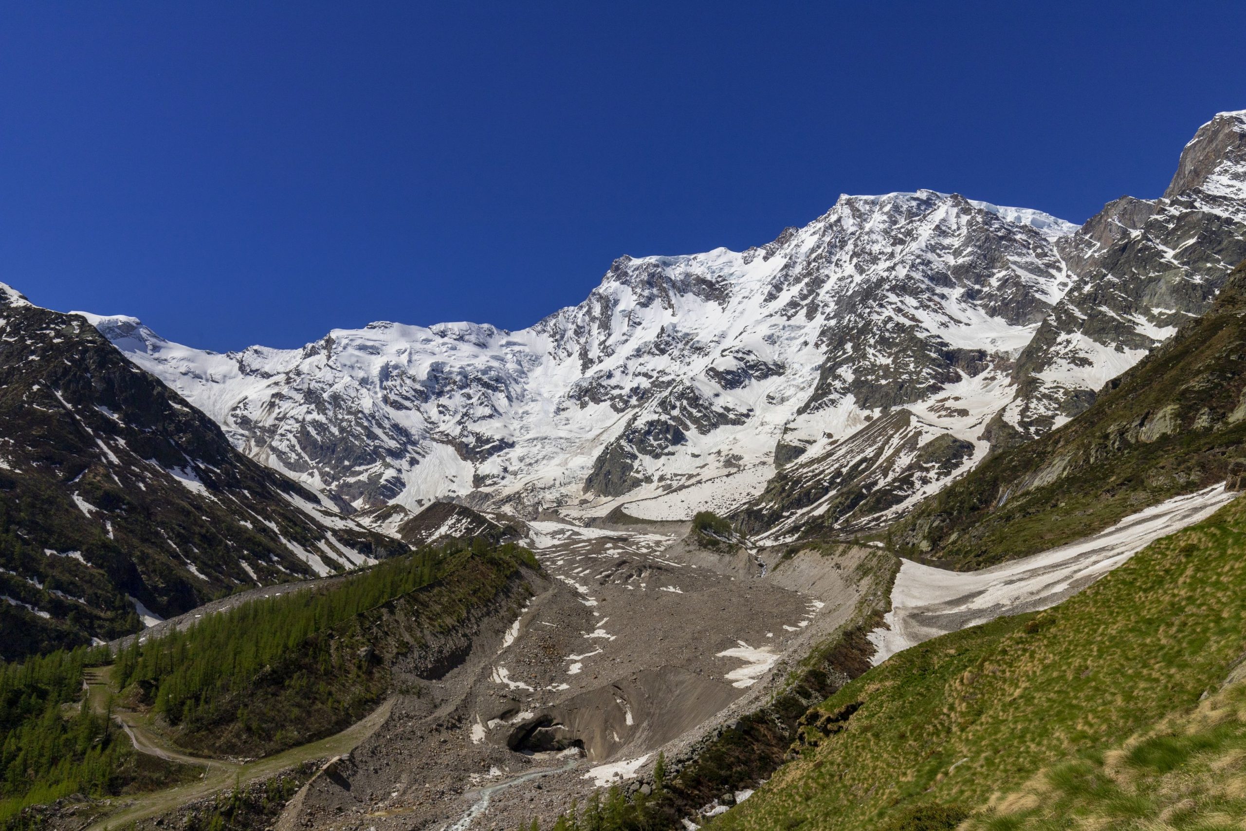
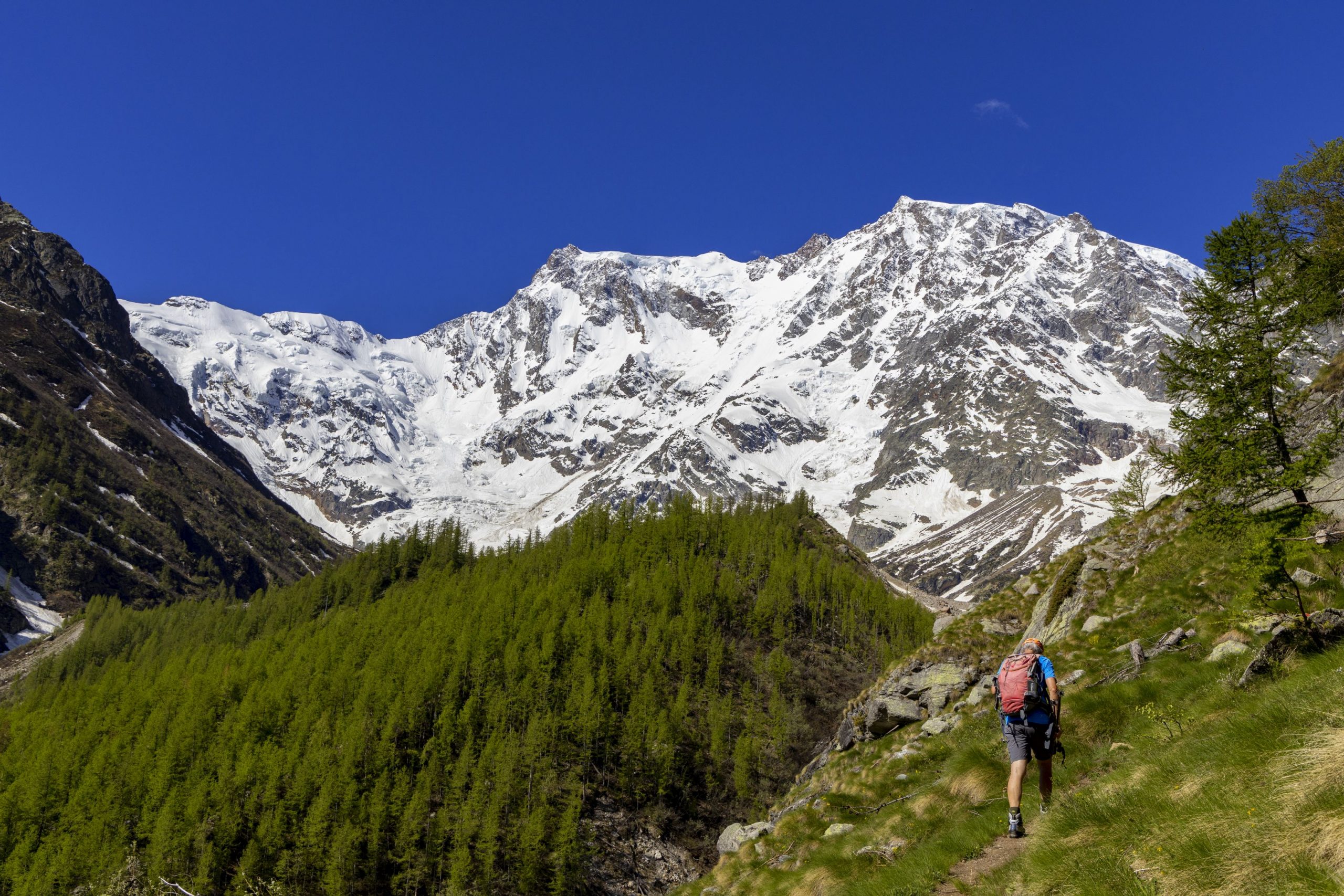
At the beginning of the Valley, there is the imposing east wall of Monte Rosa: two thousand meters of rock and ice, the only Himalayan-sized wall in the Alps. An unusual valley that features two cultures (Walser and Romanza) and pristine nature in ancient harmony between humans and the environment.
Info and stops: https://www.piemonteoutdoor.it/it/attivita/escursionismo/stra-granda
Back to the list of routes
MULTIPLE-STOP ROUTE
THE SAN CARLO ROUTE
Valle Cannobina
Route description
The San Carlo loop route connects the villages of the Cannobina Valley. It takes its name from San Carlo Borromeo in memory of a pastoral visit that the Saint made to the Valley in 1574.
In Gurro, the ancient and charming “Casa San Carlo” is a reminder of where the Saint slept during his pastoral journey.
This itinerary is split into two stops: the first from Cannobio on Lake Maggiore to Falmenta, a small village in the Cannobina Valley.
The second is part of a half-loop itinerary that starts from Falmenta and reaches Cursolo (on the opposite bank of T. Cannobino). The route follows almost entirely beautiful, paved mule tracks. From Falmenta, a variant of the second stop allows from Gurro to reach Cursolo directly, shortening the path.
Info and stops: https://www.piemonteoutdoor.it/it/attivita/escursionismo/circuito-di-san-carlo
Back to the list of routes
A ROUTE THAT RUNS ACROSS THE ENTIRE ANTRONA VALLEY
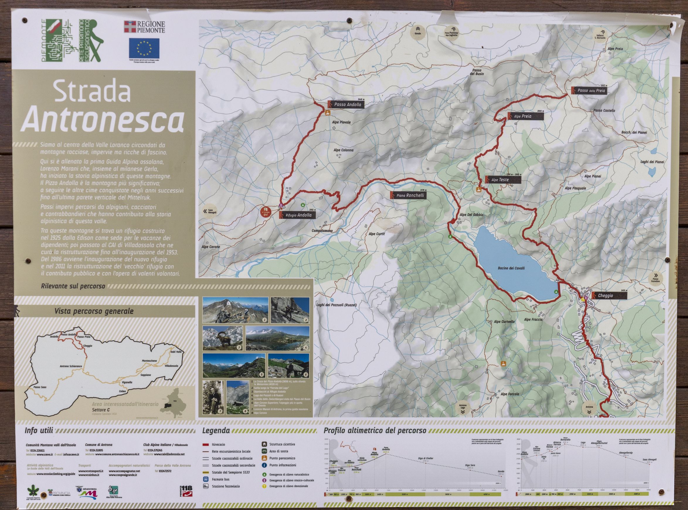
VIA ANTRONESCA
Valle Antrona
Route description
The “Strada Antronesca” runs across the whole Antrona Valley, known among the Ossola valleys as the “iron valley” because of the many mines that in the nineteenth century gave life to the iron and steel center of Villadossola. Long caravans of mules and donkeys transported the iron to Villadossola, the main iron trade center. The quality of the Antrone metal was famous everywhere, and it was also exported to Switzerland.
Therefore, in ancient times, the “Strada antronesca” was used to go past from the Antrona Valley to reach the Saas Valley through the Antrona or Saas Pass (2883 m a.s.l.) and as such as one of the main connections between Ossola and Valais, joining Villadossola with Visp. This road never reached the importance of the Simplon road, protected by the governments of the State of Milan and Valais, and served by an important corporation of Someggiatori (mule caravans). The main issue was its maintenance since mountain roads are the most damaged by avalanches, mudslides, and landslides. The fact that in the sixteenth century, the annual cattle exhibition was brought to Villadossola instead of Macugnaga makes us assume that in the fifteenth and sixteenth centuries, this road was kept efficient.
This situation, characterized by the presence of multiple passes usable by commercial traffic, remained dynamic until the eighteenth century, when it changed due to the opening of the Napoleonic road, which, through the Simplon Pass, reached Geneva and then the heart of Europe. The importance of the Simplon already became evident in the seventeenth century at the time of the mule track in the Divedro Valley along which the salt trade was carried out by the Valais nobleman Kaspar Stockalper, “Le roi du Simplon”.
On October 6, 1996, the first stretch of the “Strada Antronesca”, restored by the CAI chapter of Villadossola was inaugurated, and the second stretch from Antrona to Saas Almagel was inaguarated on August 17, 1997 . Since 2010, this route has been included in the “Strategic” Interreg VETTA project. The “Strada Antronesca” gave life to the new era of “Cultural Hiking”.
Info and stops: https://www.piemonteoutdoor.it/it/attivita/escursionismo/antronesca
Back to the list of routes
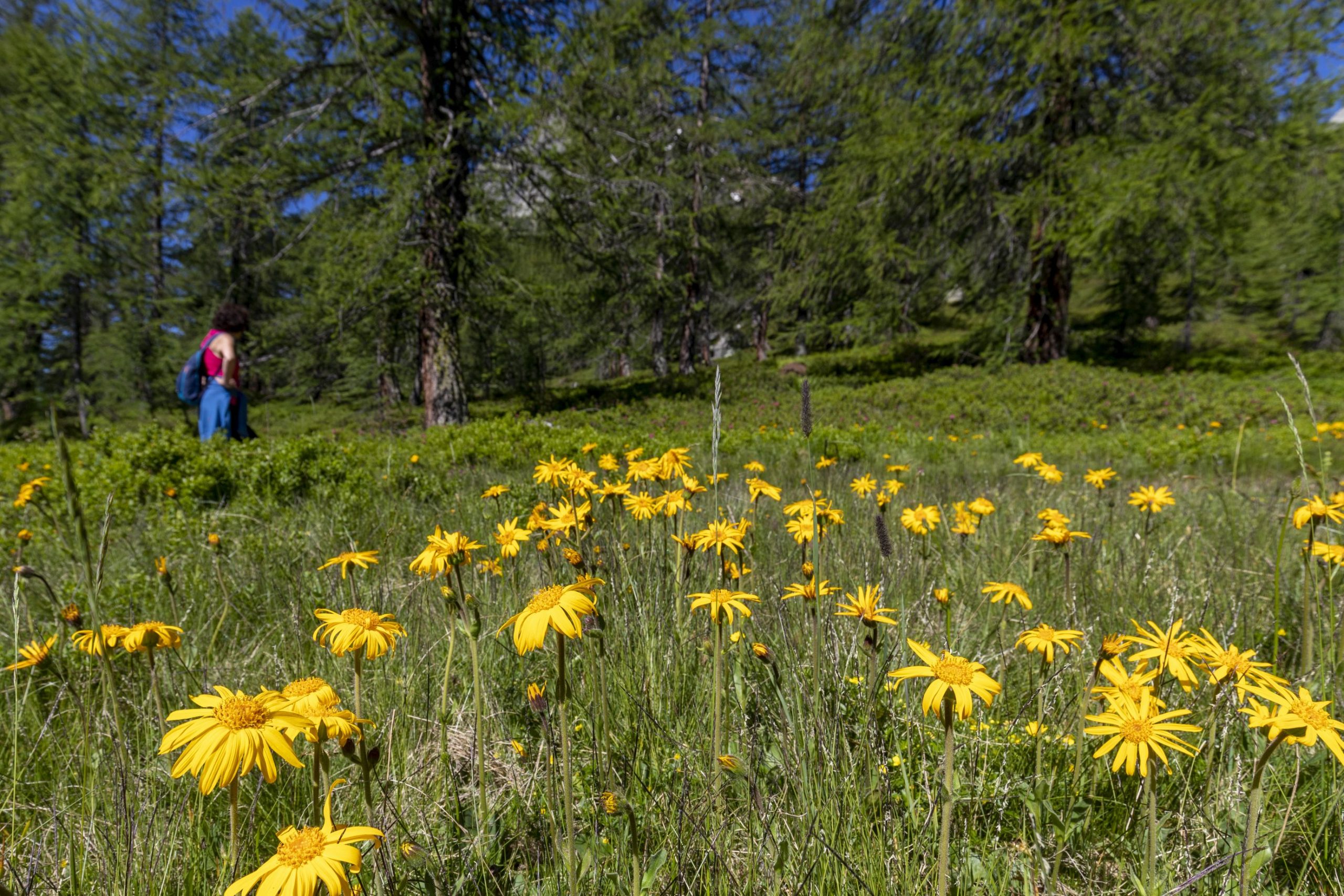
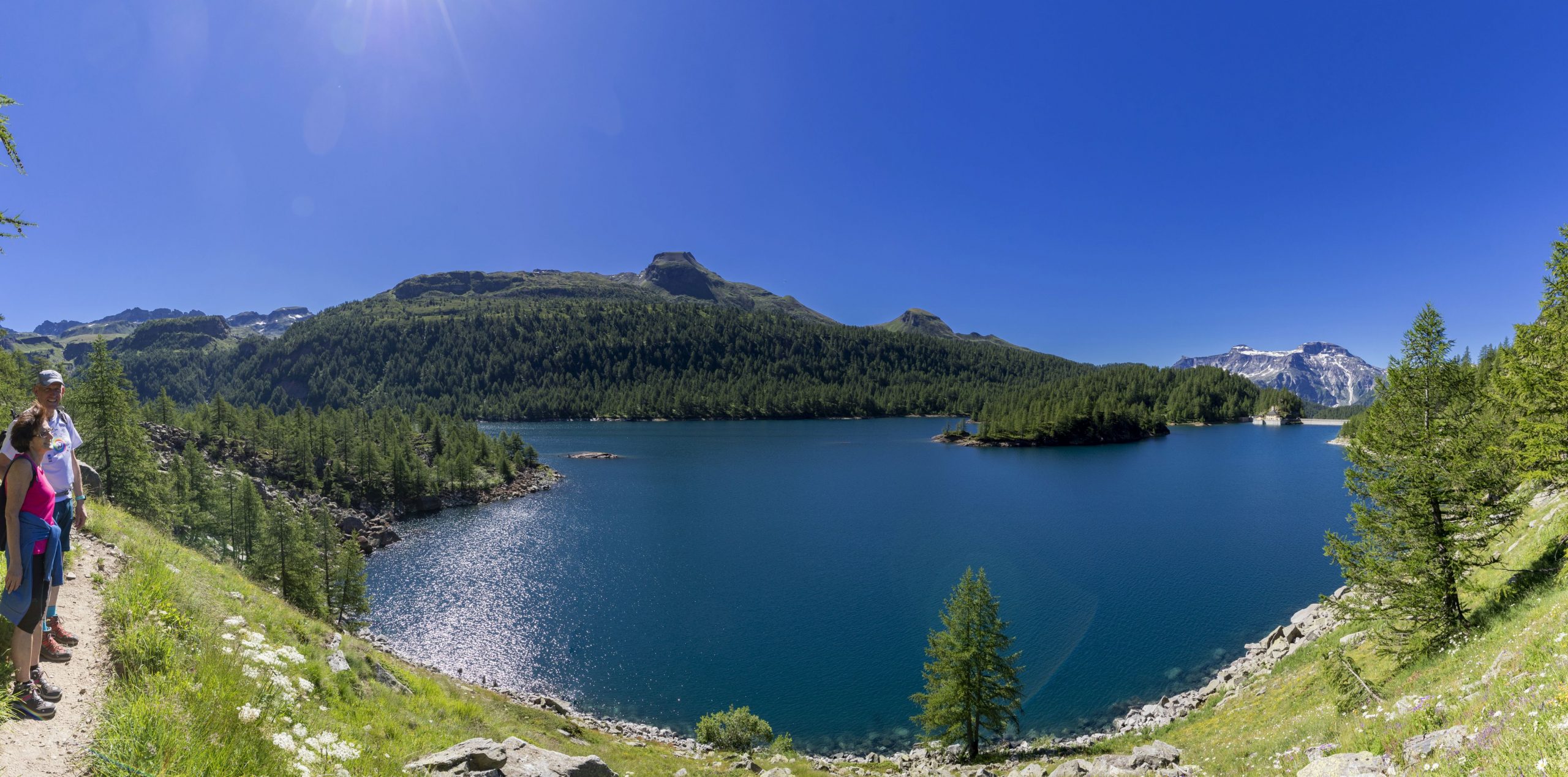
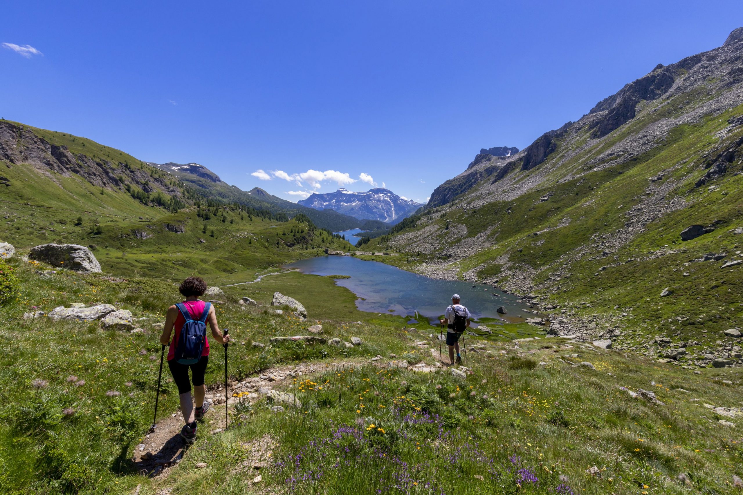
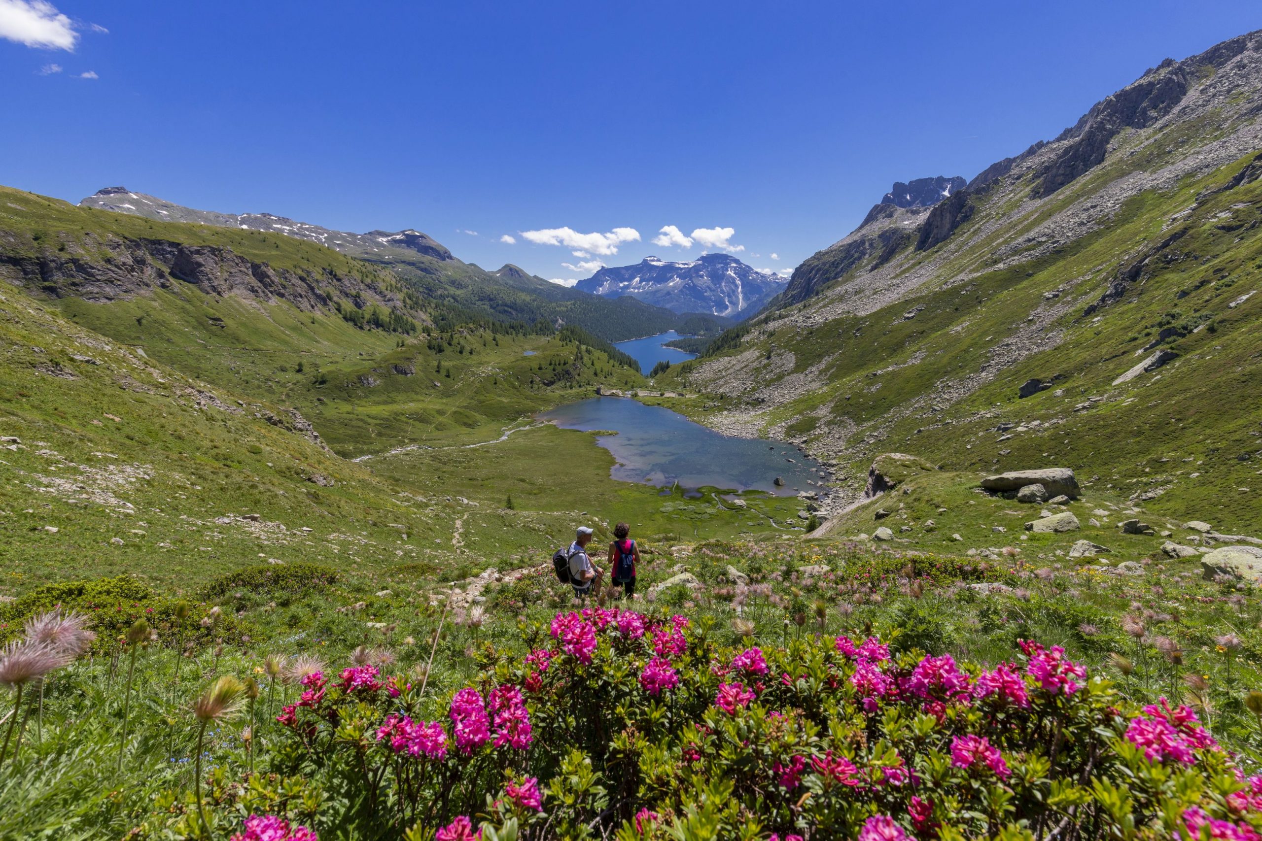
THE ANCIENT ROAD THAT STARTS FROM THE OSSOLANO VALLEY FLOOR AND CLIMBS UP TO THE BINN VALLEY
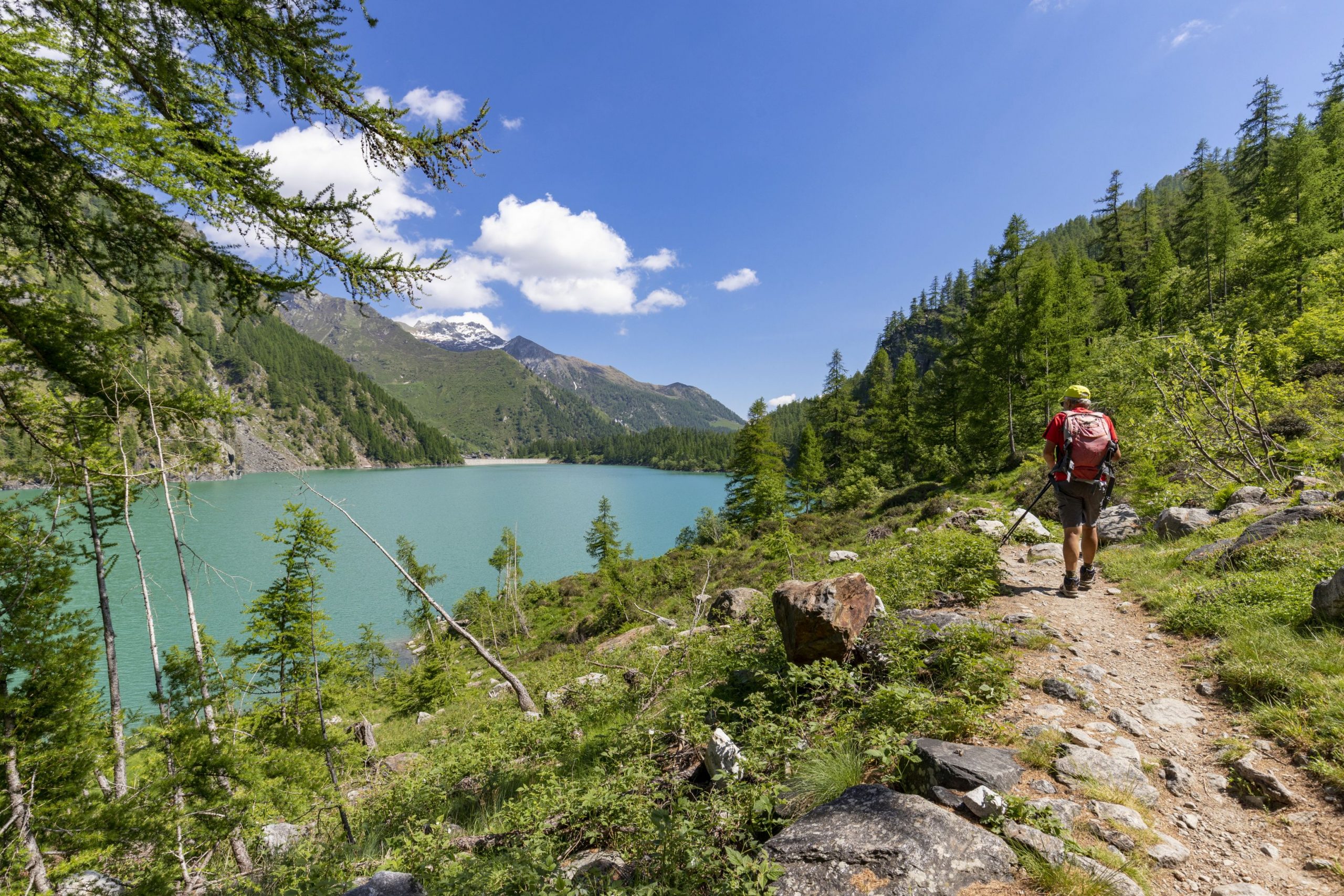
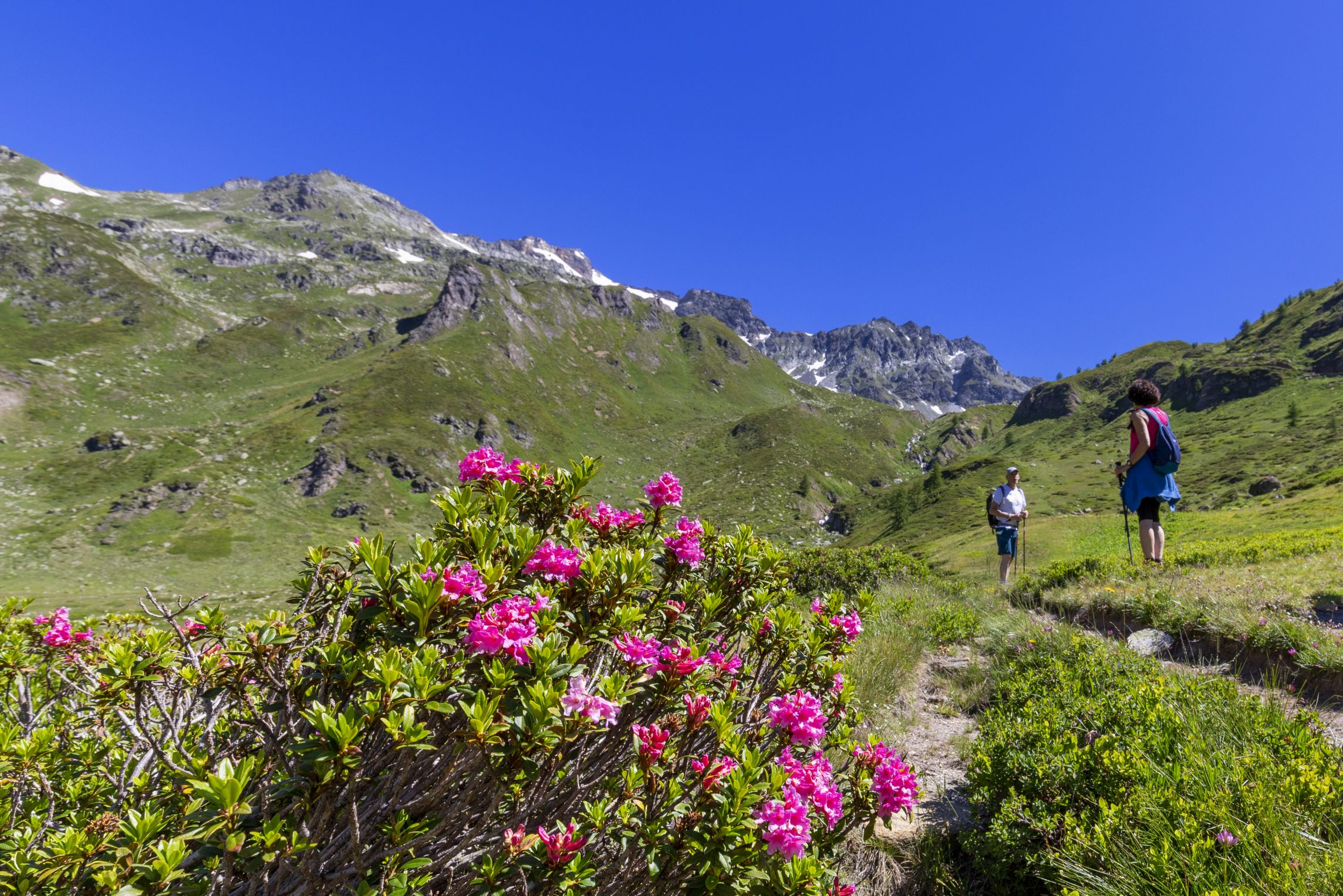
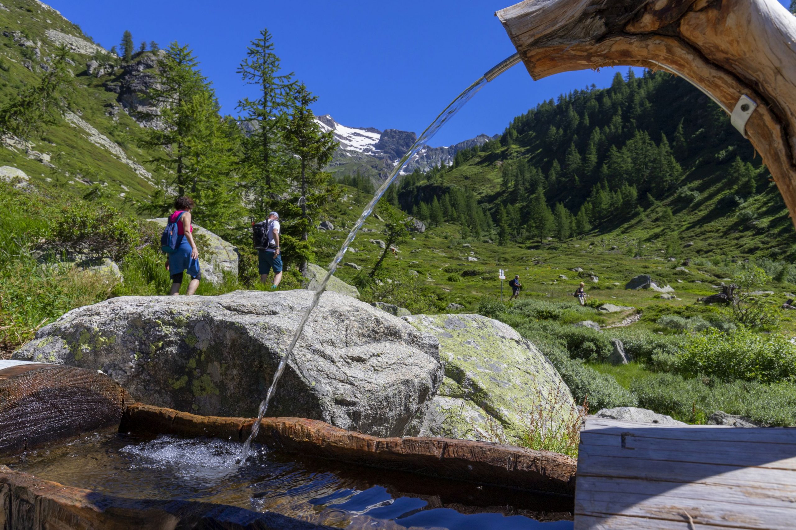
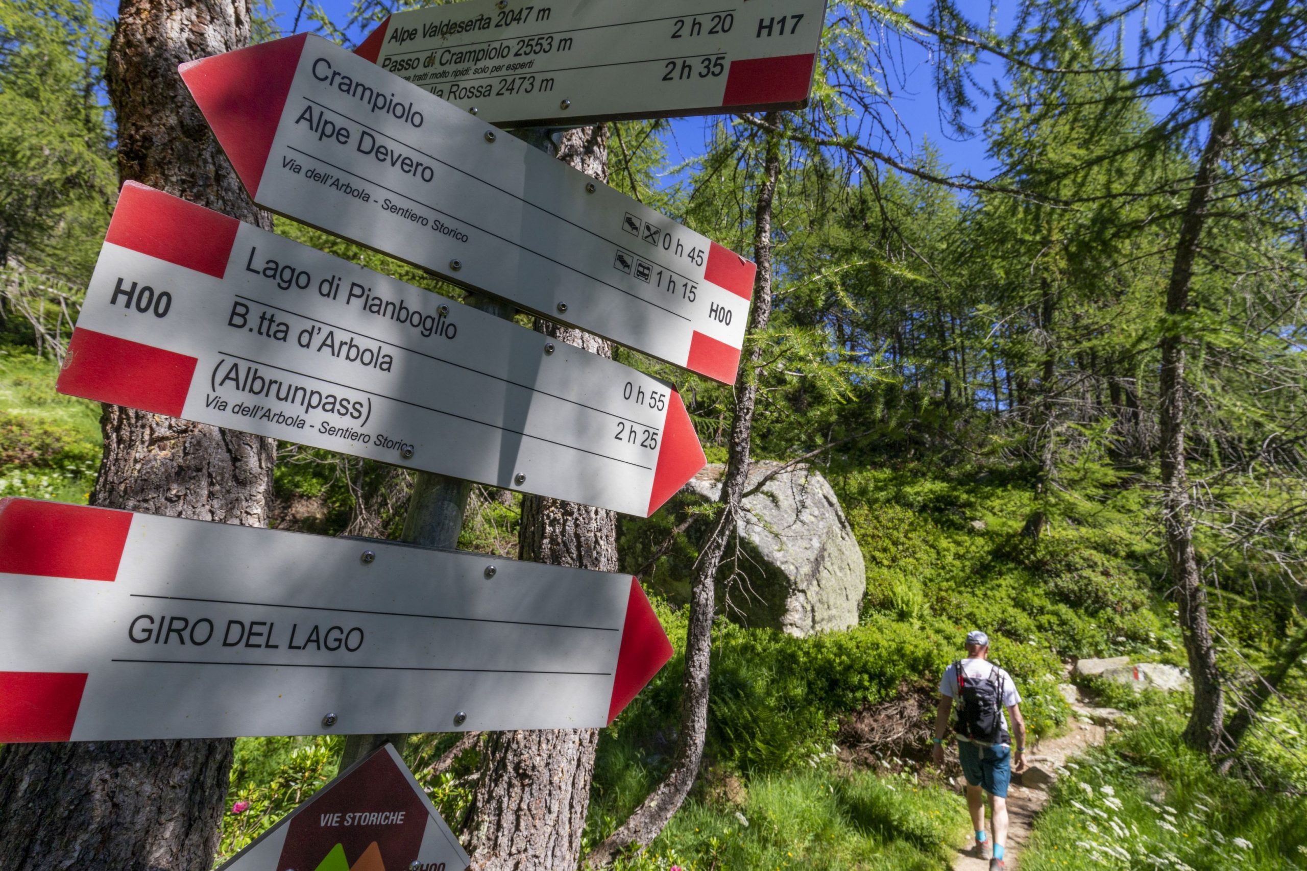
VIA DELL’ARBOLA – VIA ALBRUN
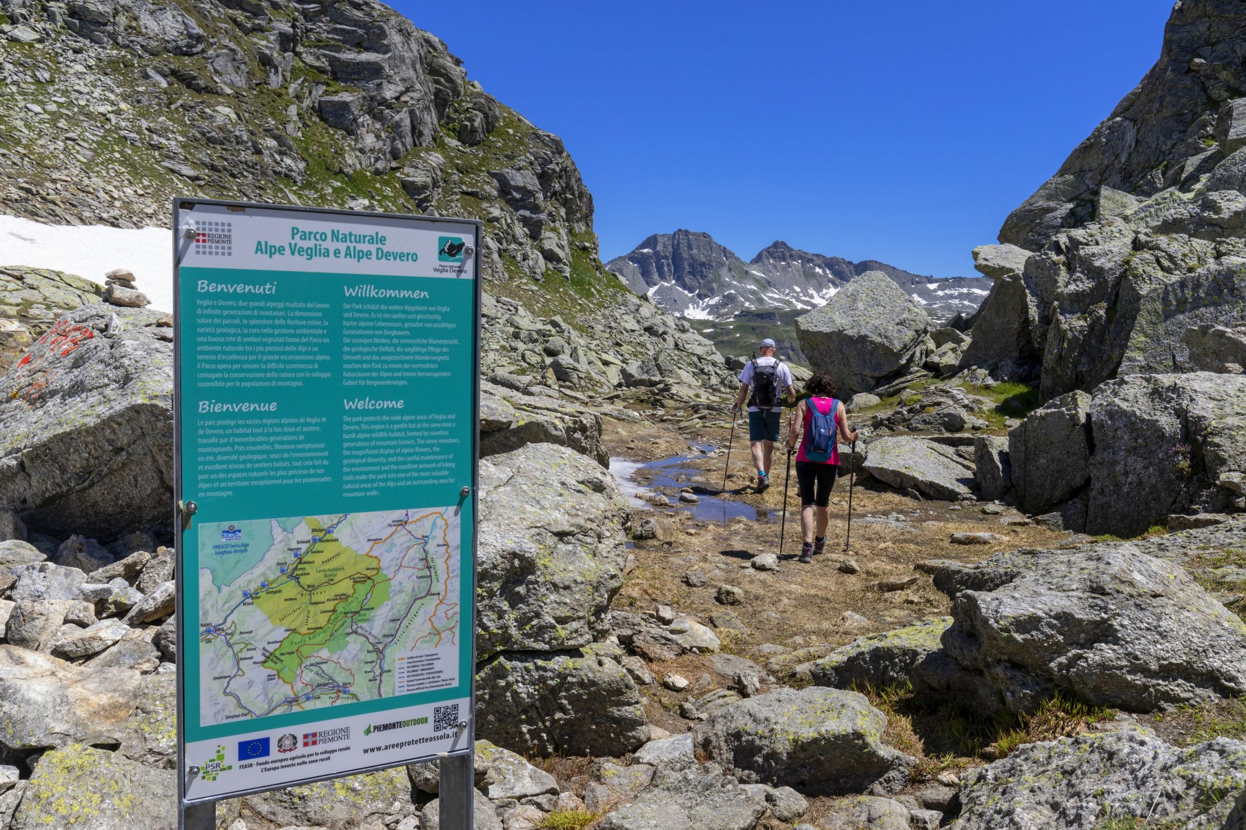
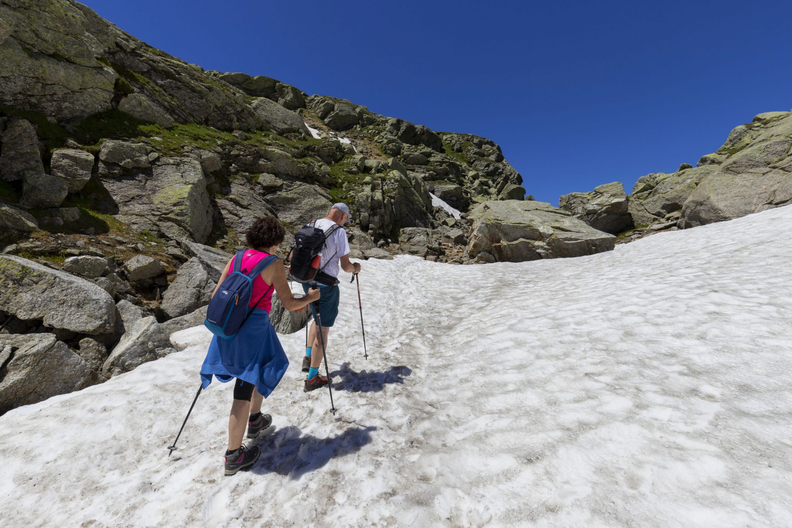
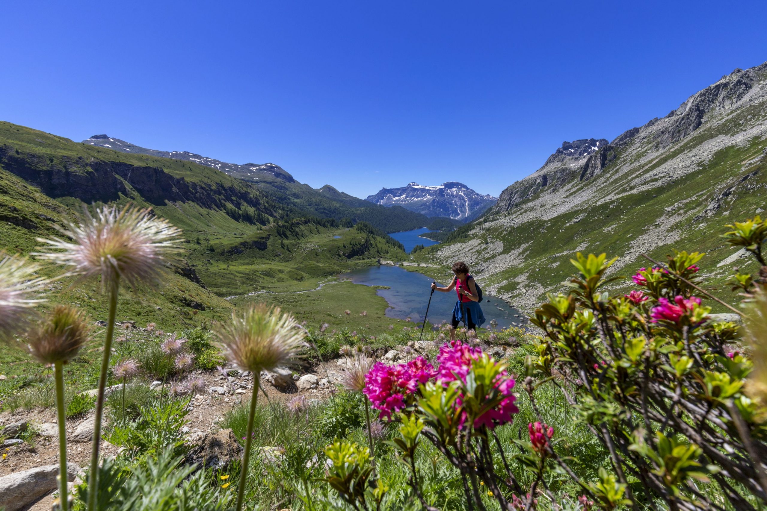
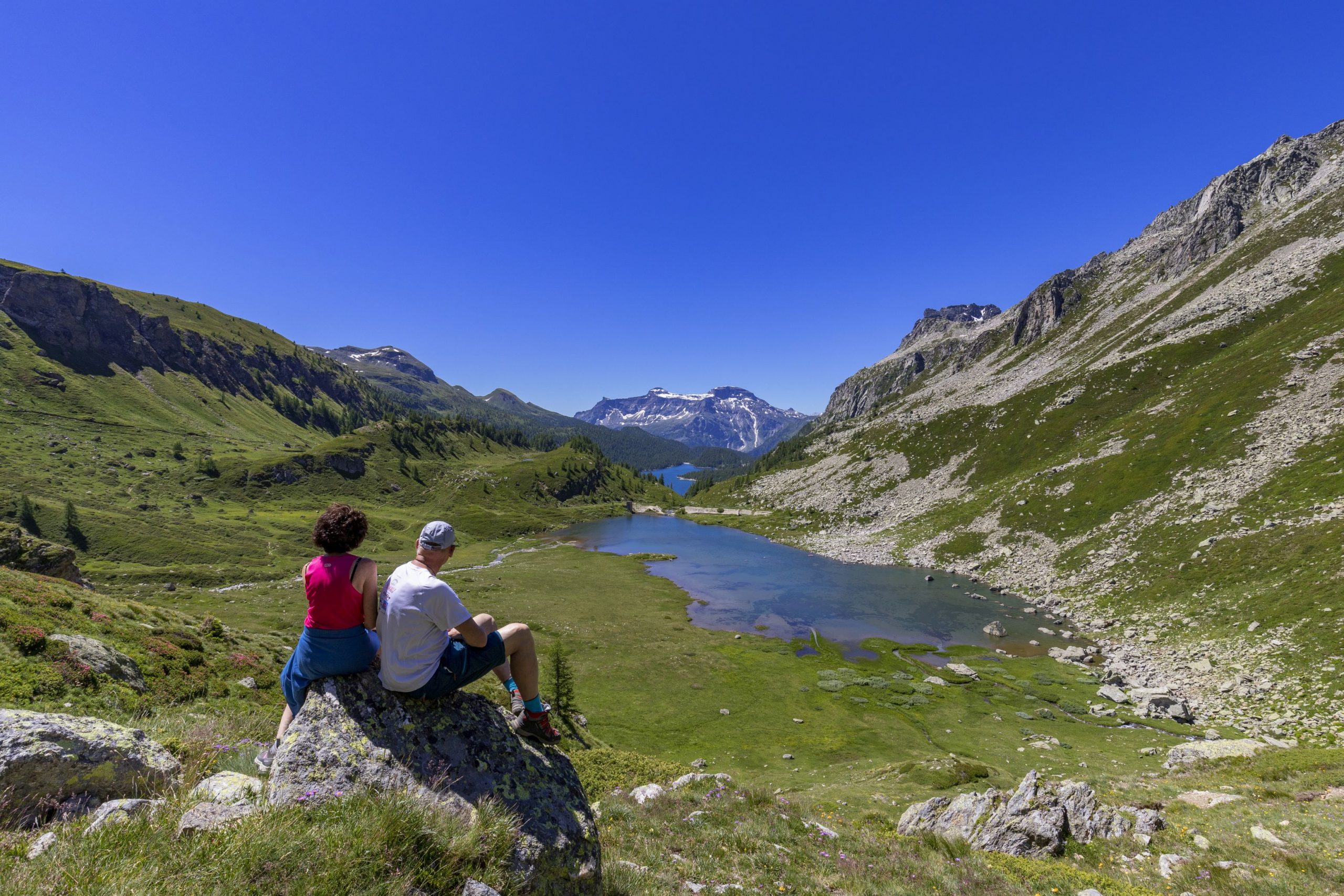
Alpi Veglia-Devero
Route description
The ancient road that led from the floor of the Ossola Valley to the Binn Valley through the Bocchetta d’Arbola or Albrunpass (2409 m a.s.l.) and then to Switzerland is particularly important for the history of transits through the Alps.
Arbola is the lowest and easiest pass in the Lepontine Alps, second only to the Simplon in the Ossola mountains. While the Boccareccio Pass, Cornera Pass, and Rossa Pass are made difficult by imposing rock ridges that make access difficult for people and impossible for pack animals, the paved mule track of Arbola allowed the transit of long lines of pack animals loaded with goods. A long caravan route across the Lepontine Alps, not far from the Gotthard, from which rivers flow in the direction of the four winds, has always been a fundamental orographic junction in the Alpine road network: Arbola leads to the Binntal, Gries leads to the Hasli and then to Oberland and San Giacomo Pass (the “Mountain of Valdolgia”) leads to Airolo and Ticino.
The “Antigorio road” toward Baceno, Devero, and Arbola (the “lower pass” to distinguish it from the upper or “glacier pass” of the Gries) was for many centuries the main commercial road between Valais and Lombardy. So much so that even ancient maps define Arbola as a “pass towards Lombardy” (Pass gegen Lombardy, Sebastian Munster, 1550) or “pass towards Milan” (Pass auf Mailand, Gabriel Walser, 1768). In the Middle Ages, when people began to cross the high Alpine passes to exchange goods and ideas, the stops at Baceno and Ernen became increasingly important. Historians consider the villages at the foot of the Baceno, Binn, and Ernen Passes as “pass settlements” where the trading activity was combined with the herding one. Until the thirteenth and fourteenth centuries, when the Gondo gorge on the Simplon was equipped with wooden footbridges anchored to the rock with chains, the Arbola Pass was the “gateway to Lombardy”.
Wheat and wine, silks and spices from the Orient reached the north; salt, cheese, and livestock came down from the south. A dynasty of merchants grew up in Baceno and Croveo and traveled through Alpine Europe, also smuggling salt from the mines of Hall, near Salzburg, bringing it to the market of Ernen via the “transversal route” of the San Giacomo, Scatta Minoia, and Bocchetta d’Arbola Passes. They developed a network of transalpine relationships with the Swiss cantons of Uri and Unterwalden. They crossed the high passes and owned meadows and pastures to feed the herds bought in Switzerland and sold on the Lombardy markets and cellars where to store wine and cheese. The itinerary of the ancient Via dell’Arbola – Via Albrun is one of the Cultural Routes of Regional Interest in Switzerland.
Info and stops: https://www.piemonteoutdoor.it/it/attivita/escursionismo/dellarbola-albrun
Back to the list of routes
THE GRIES PASS, AT 2479 M A.S.L. BETWEEN VAL FORMAZZA AND UPPER VALAIS
VIA DELLO SBRINZ – VIA DEL GRIES
Valle Formazza
Route description
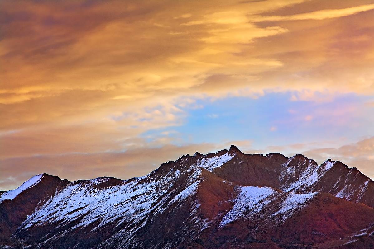
For five centuries, the Gries Pass, at an altitude of 2479 m above sea level, between Val Formazza and Upper Valais, has represented the most direct route between the Lombardy Plain and central Switzerland. From Milan to Bern, from the Mediterranean to central Europe’s plains, people, goods, and ideas passed through the Gries Pass. It was a commercial road, a caravan route crossed by long lines of mules loaded with goods. From the north, cattle, hides, and cheeses (the “sbrinz” of the Bernese Oberland) were brought down, and luxury products such as the precious crystals processed by the monks of Engelberg for the Italian courts. From the south, the fabrics and silks of Lombardy and above all the wine from Ossola, were exported to the French court.
On August 12, 1397, in Munster, the capital of Goms and birthplace of the Walsers, representatives of Ossola and Val Formazza met with those of the city of Bern, the Abbey of Interlaken, the communities of Hasli and Goms to sign an agreement that could guarantee the common commitment to the opening of a trade route between Milan and Bern. A great road in the heart of Europe: 600 years ago. The agreement included constructing and maintaining a road from Grimsel to Ossola through the Gries Pass to facilitate trade between the north and the Lombardy region. Everyone was committed to the proper maintenance and monitoring of the road network for the stretch of their competence: the people of Bern up to the Grimsel Pass, where a hospice was to be built in those years; the people of Munster from Grimsel to Gries and the people from Formazza up to the pass. The regulations regarding the duties to be collected and the security of the transit that each community had to provide were also established.
The process of recovery of the historical memory and the spirit of collaboration still alive among the mountain populations on both sides of the border contributed to the recent reassessment of this ancient Historical Route: the Via del Gries became part of one of the 12 Cultural Routes of National Interest in Switzerland in 2002. The itinerary is called “Via Sbrinz” or “Sbrinz Route”, a journey in seven stops from Lucerne to Domodossola for those who, slowly, want to rediscover the emotion of walking on the paths of history.
Every summer, as a historical reenactment, the route is traveled by a caravan of mules and goods (www.sbrinz-route.ch)
Except for the Gries Pass section, the Via del Gries runs mainly along the valley floor, through the towns, and close to the main road (SS659). The many accommodations and hospitality venues available along the Valley allow choosing the stops’ length according to each traveler’s fitness level. From Crevoladossola to Ulrichen, it is common to plan a minimum of three stops. But for those who want to walk slowly, discovering the natural, historical, and cultural wonders of the Valley, we recommend splitting the journey into four stops.
Info and stops: https://www.piemonteoutdoor.it/it/attivita/escursionismo/dello-sbrinz-del-gries
Back to the list of routes

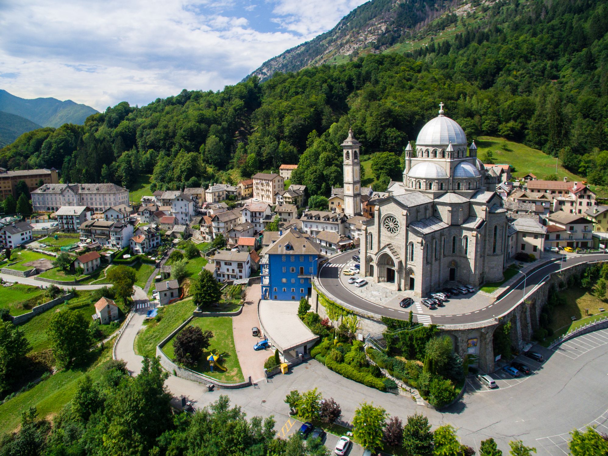
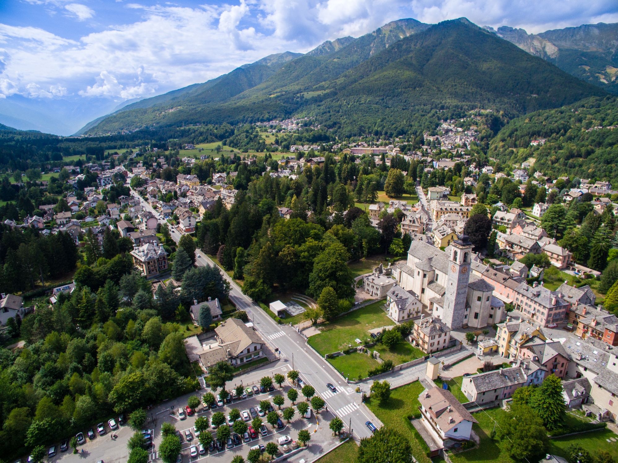
THE VIA DEL MERCATO IS A HIKING TRAIL THAT CONNECTS DOMODOSSOLA TO LOCARNO THROUGH VAL VIGEZZO AND CENTOVALLI
DOMODOSSOLA – LOCARNO VIA DEL MERCATO
Domodossola e dintorni
Route description
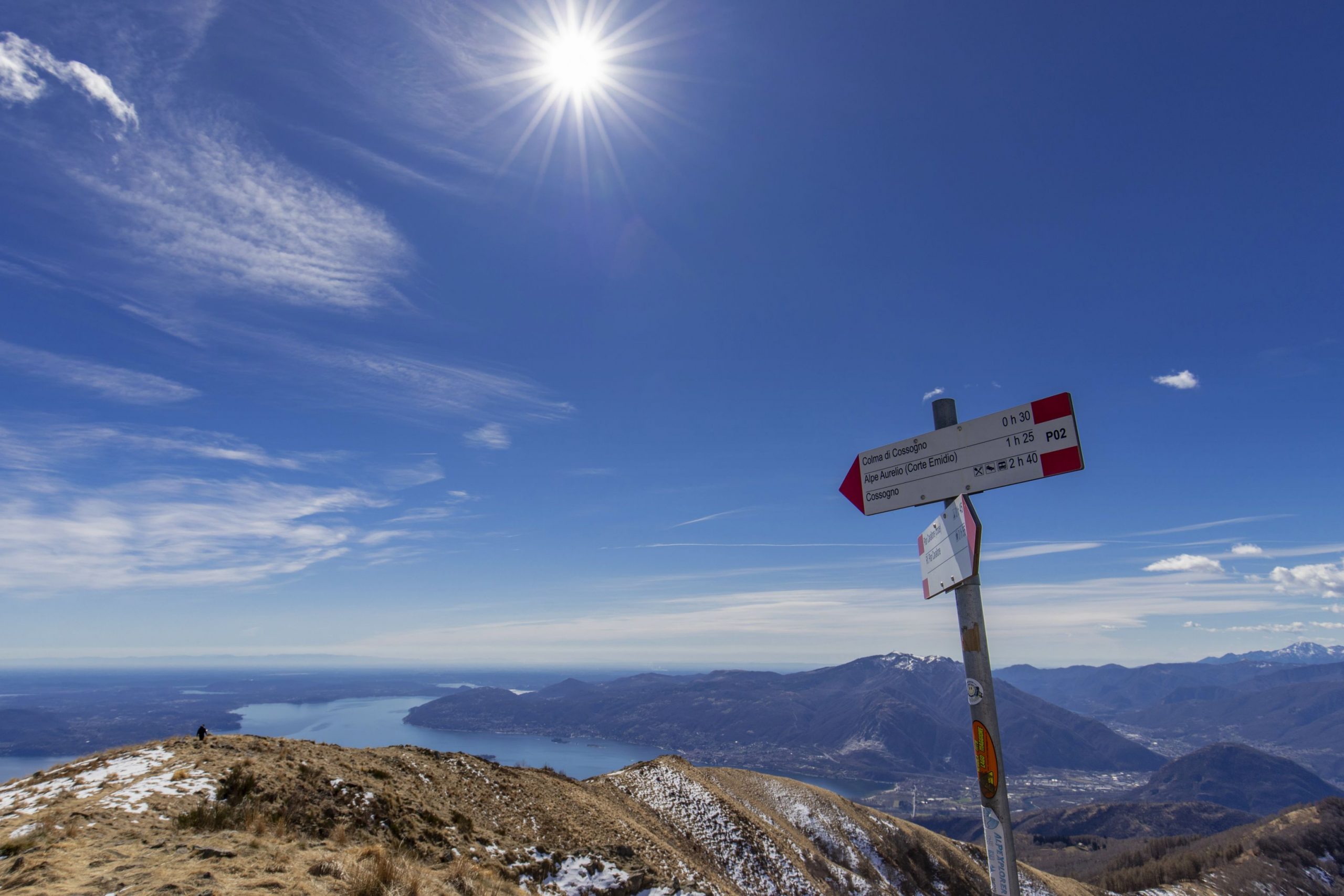
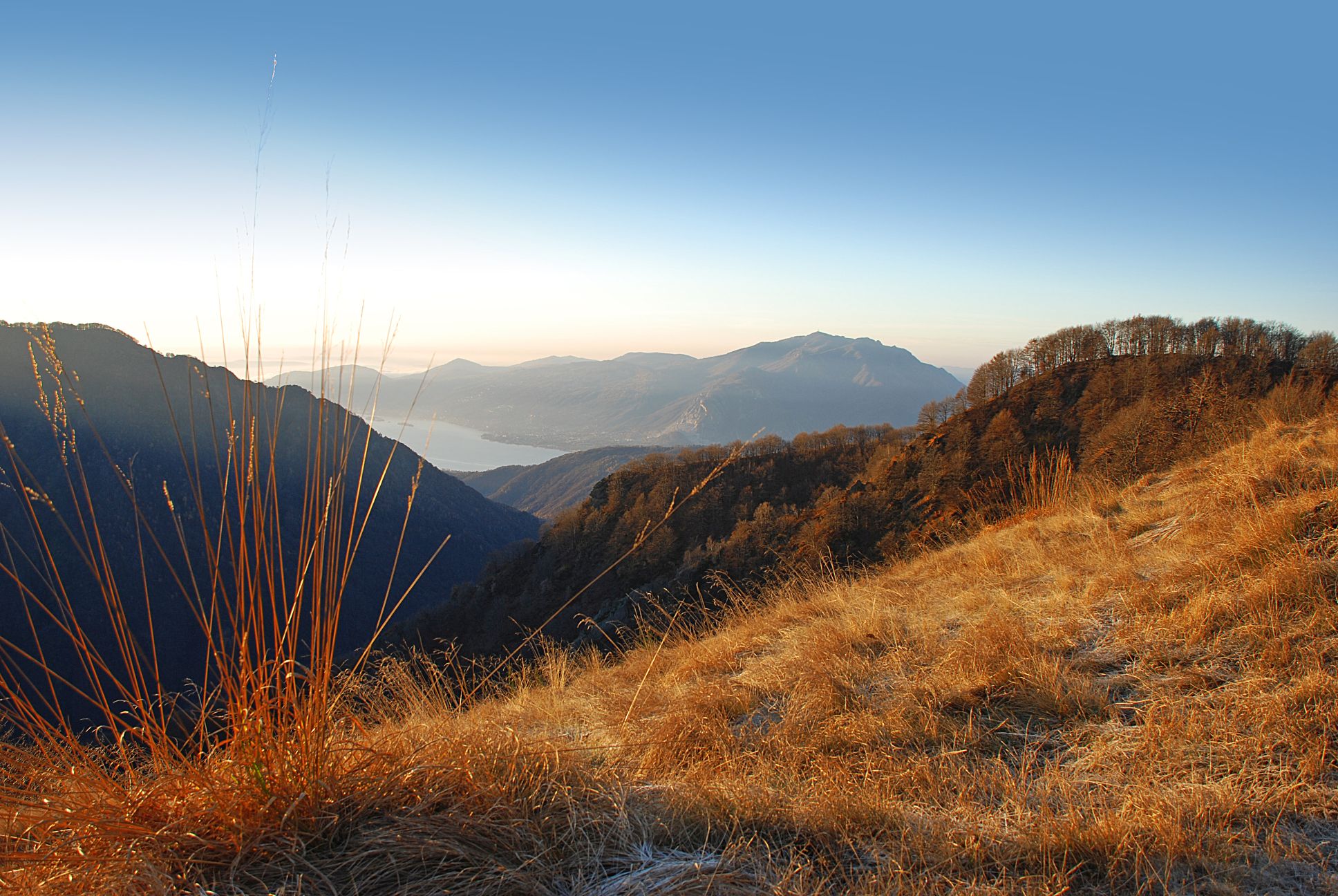
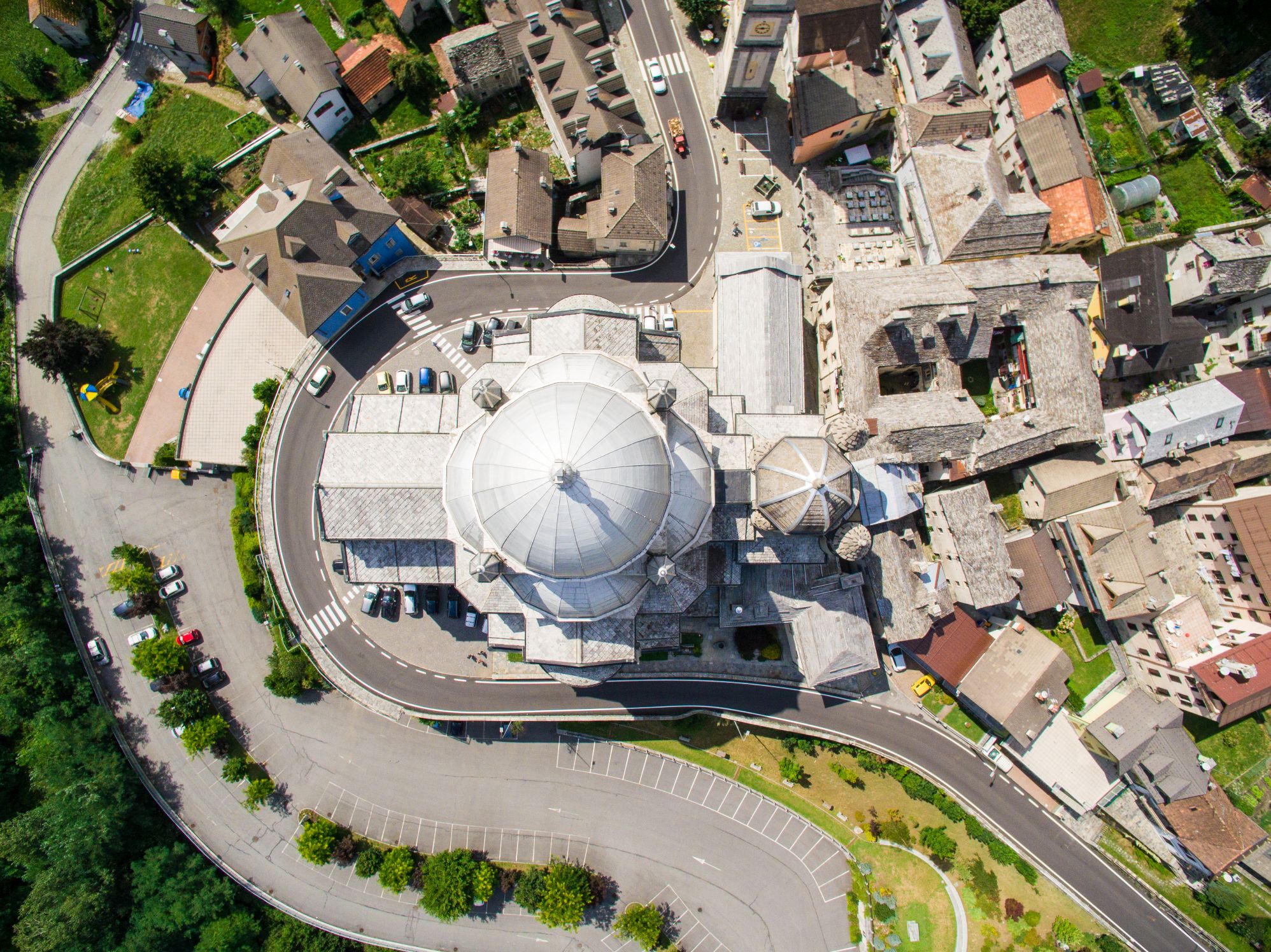
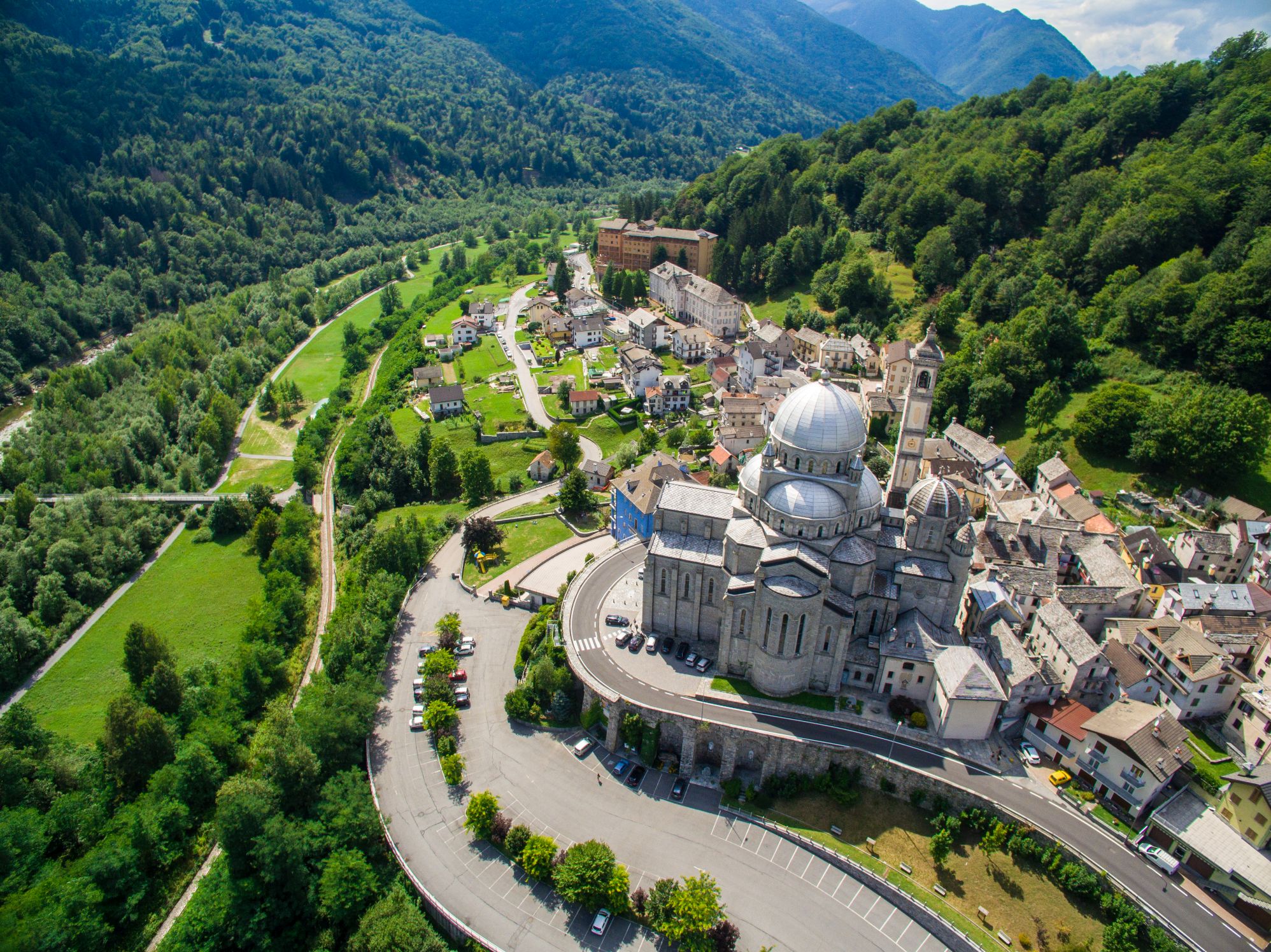
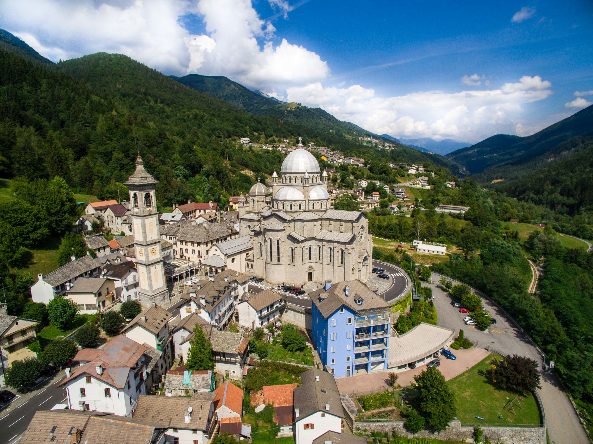
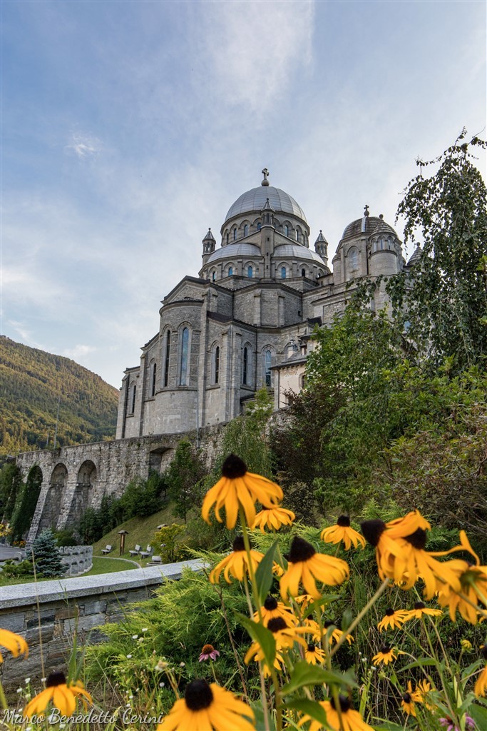
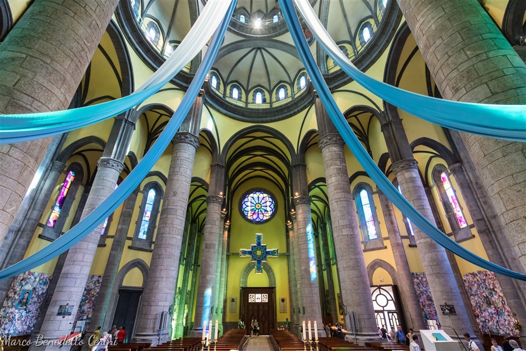
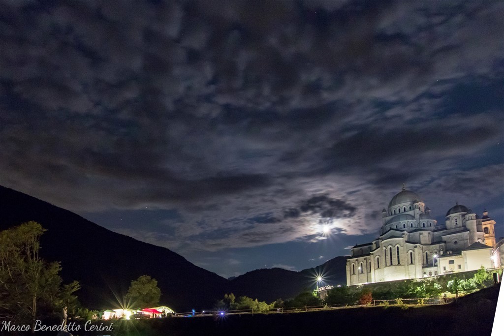
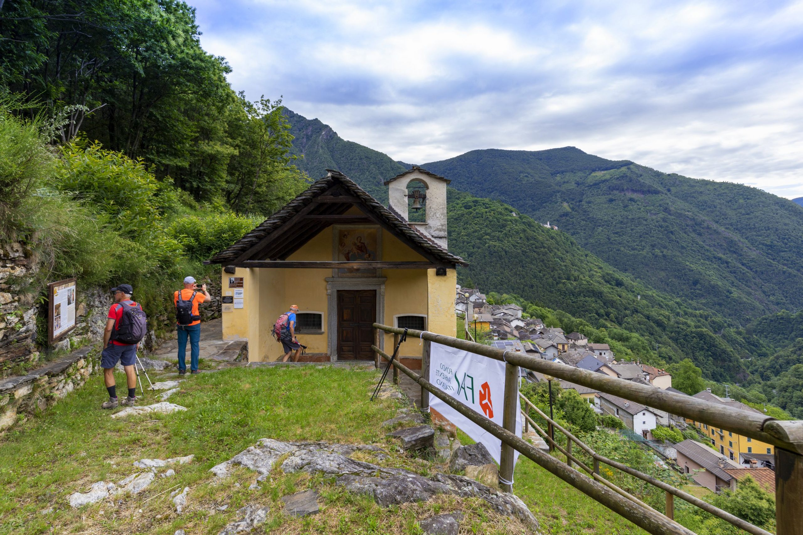
The Via del Mercato is a hiking route that connects Domodossola with Locarno through Val Vigezzo and the Centovalli, along mule tracks used since ancient times to bring the products of the valleys to the city market. The same mule tracks were used by the many emigrants of the Valley, and the pilgrims who went up to the Santuario di Re, an important devotional center in the Valley dedicated to Madonna del Sangue, a pilgrimage destination from Domodossola, Locarno, and Cossogno (in Verbano).
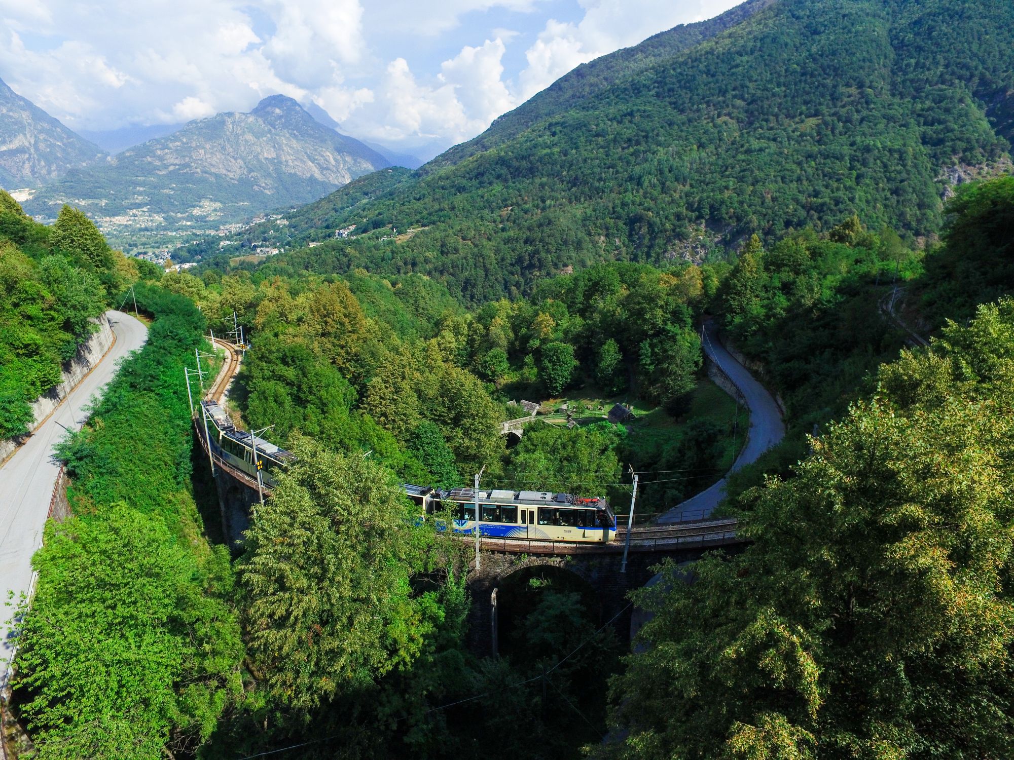
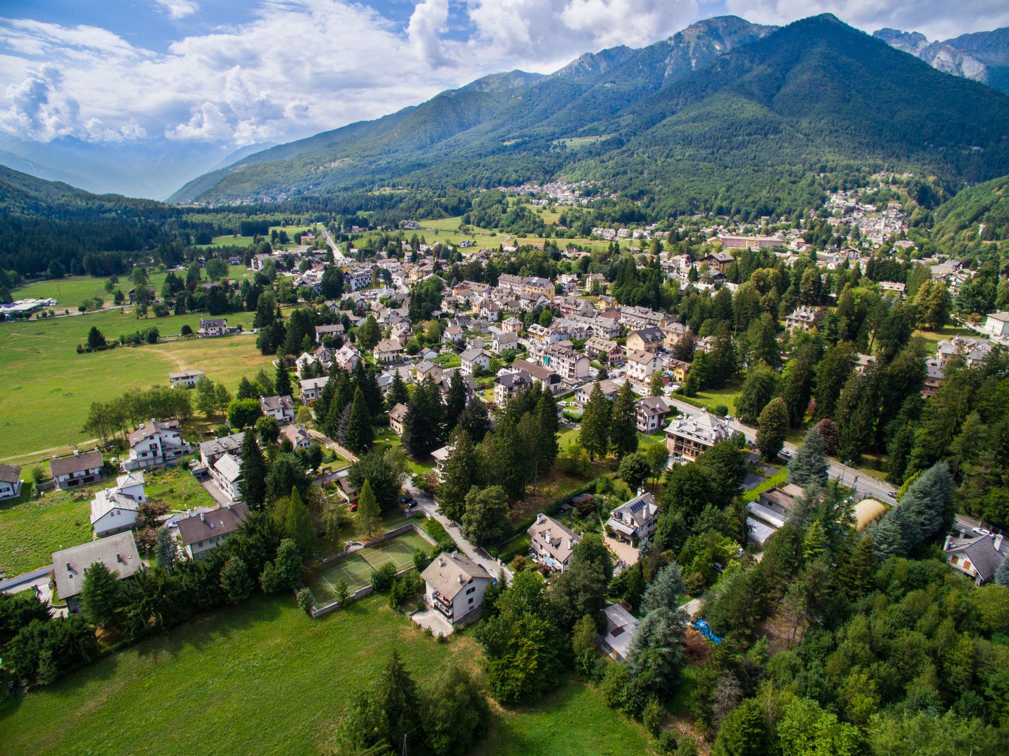
The Vigezzo valley, unlike other Ossola valleys, is a place where the rules of orography are overturned. It is not a valley dug by the flow of a stream with villages located at different altitudes from the head to the plain’s mouth. The Vigezzo valley seems to have neither beginning nor end. It boasts two opposite streams, one of which appears to flow uphill, the Valley is flat and little engraved. Here not only the orography is unusual, but also the history and culture: it is a rich valley that lives on tourism and the work of border-workers. It has experienced emigration that over the centuries produced unique inventions and prosperity, but that also led to the tradition of chimney sweeps and an artistic history linked to major art schools. The restful environment and the polychromy of the broad-leaf forests make the landscape very gentle to the eye. However, the Vigezzo valley is an alpine environment, an open place but nestled between dark and wild valleys.
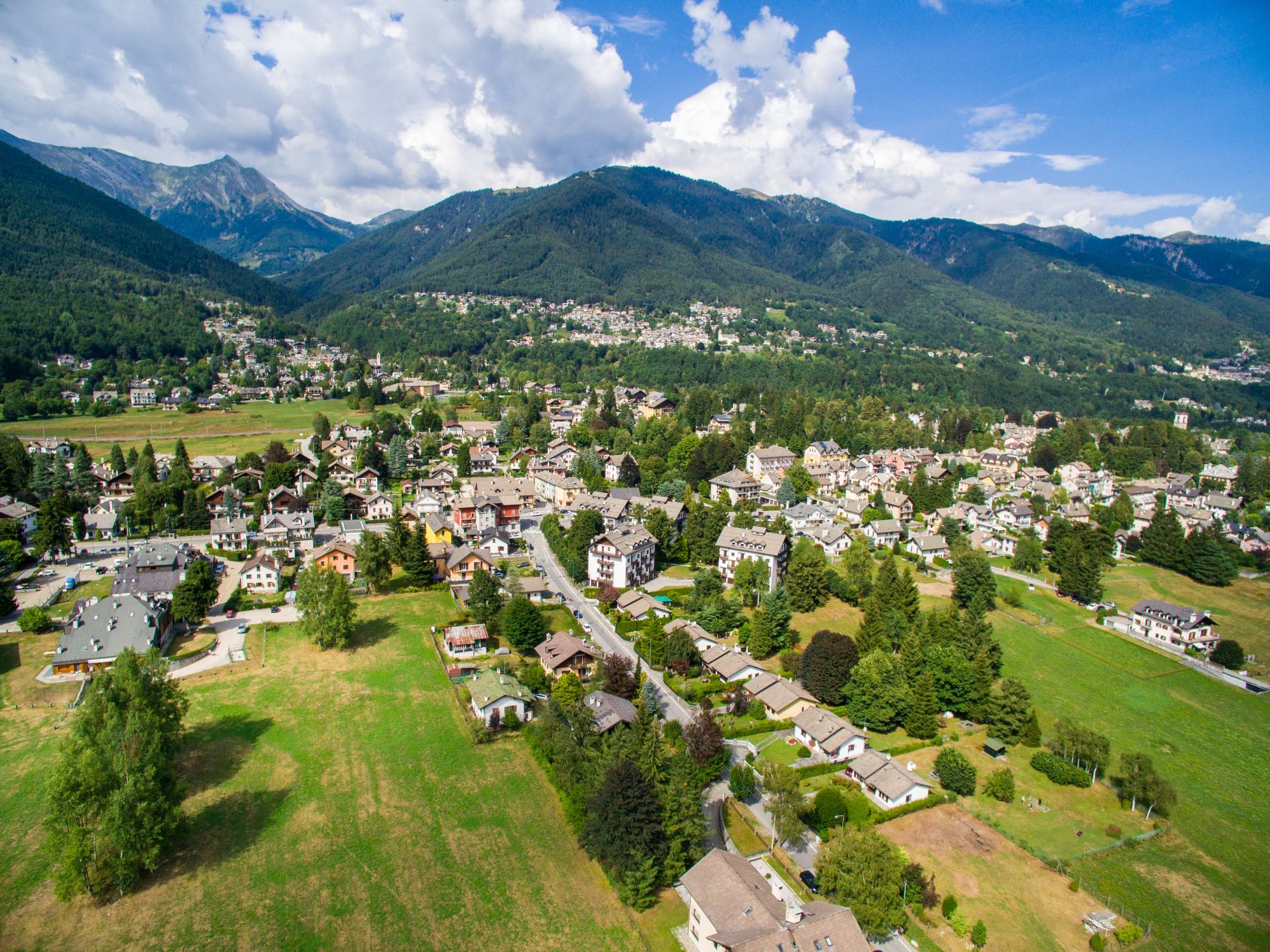
During the last century, the Valley experienced a deep transformation of its socio-economic system: the traditional agricultural-pastoral activity has been significantly reduced, carving out a small space as an integrative economy. No industrial development occurred, so the “border-worker” activity in neighboring Switzerland and tourism are the primary sources of the economy of Vigevano. This made it possible to avoid the drain of population, which in other valleys negatively affected the social fabric and urban area. One of the best ways to discover and appreciate the historical contents and the beauty of the Vigezzo Valley and the adjacent Centovalli is to run following the ancient road that connected Domodossola with Locarno (CH), used since the Middle Ages by merchants and woodcutters, herdsmen and emigrants between Ticino and Italy.
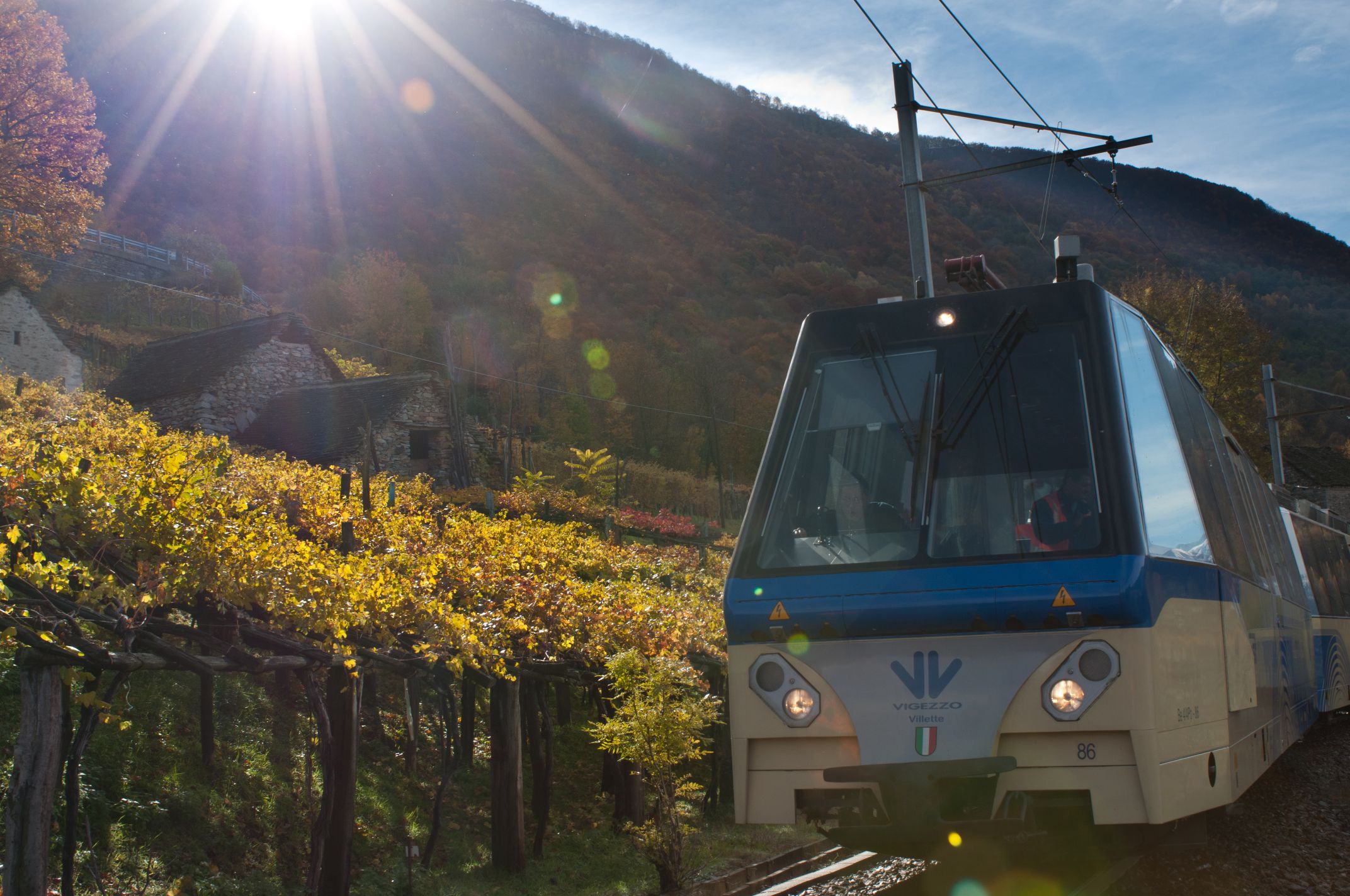
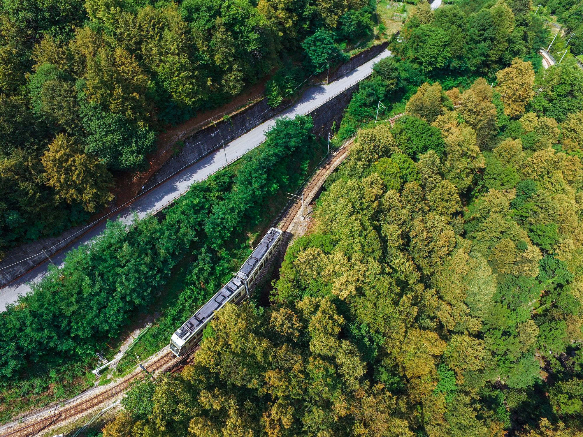
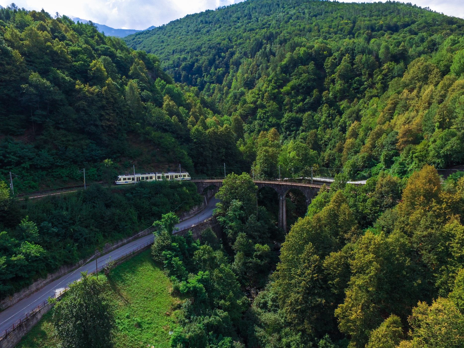
Today, part of the route has been lost, covered by the current road network, but some well-preserved sections of the old mule track are present both in Italy and Switzerland. Walking along this road is easy and pleasant, thanks also to the “VIGEZZINA”, the cross-border railway line recently awarded the title of “the most beautiful panoramic railway in Italy” that connects Domodossola with Locarno. Traveling by train on the Vigezzina railway line allows staying overnight in any village in the Valley, reaching each travel destination’s starting point in the morning.
Info and stops: https://www.piemonteoutdoor.it/it/attivita/escursionismo/del-mercato-domodossola-locarno
Back to the list of routes

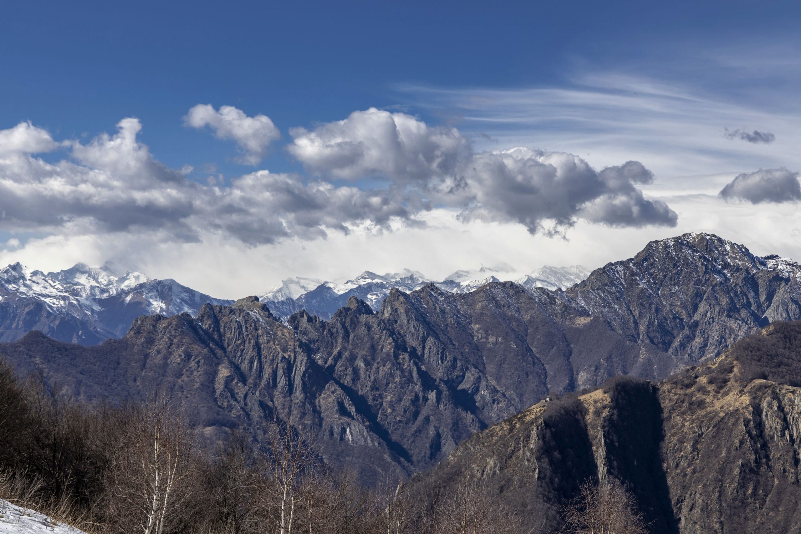
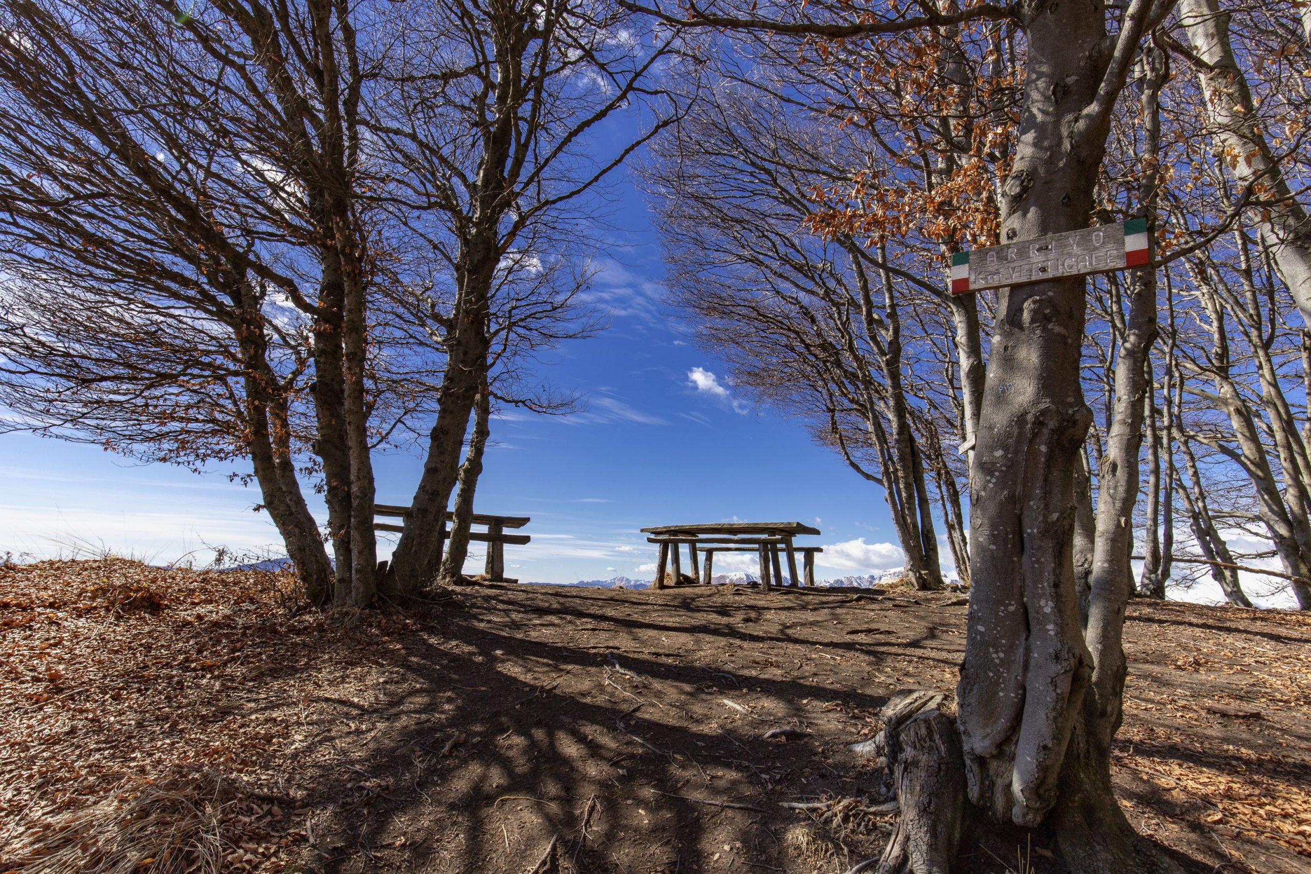
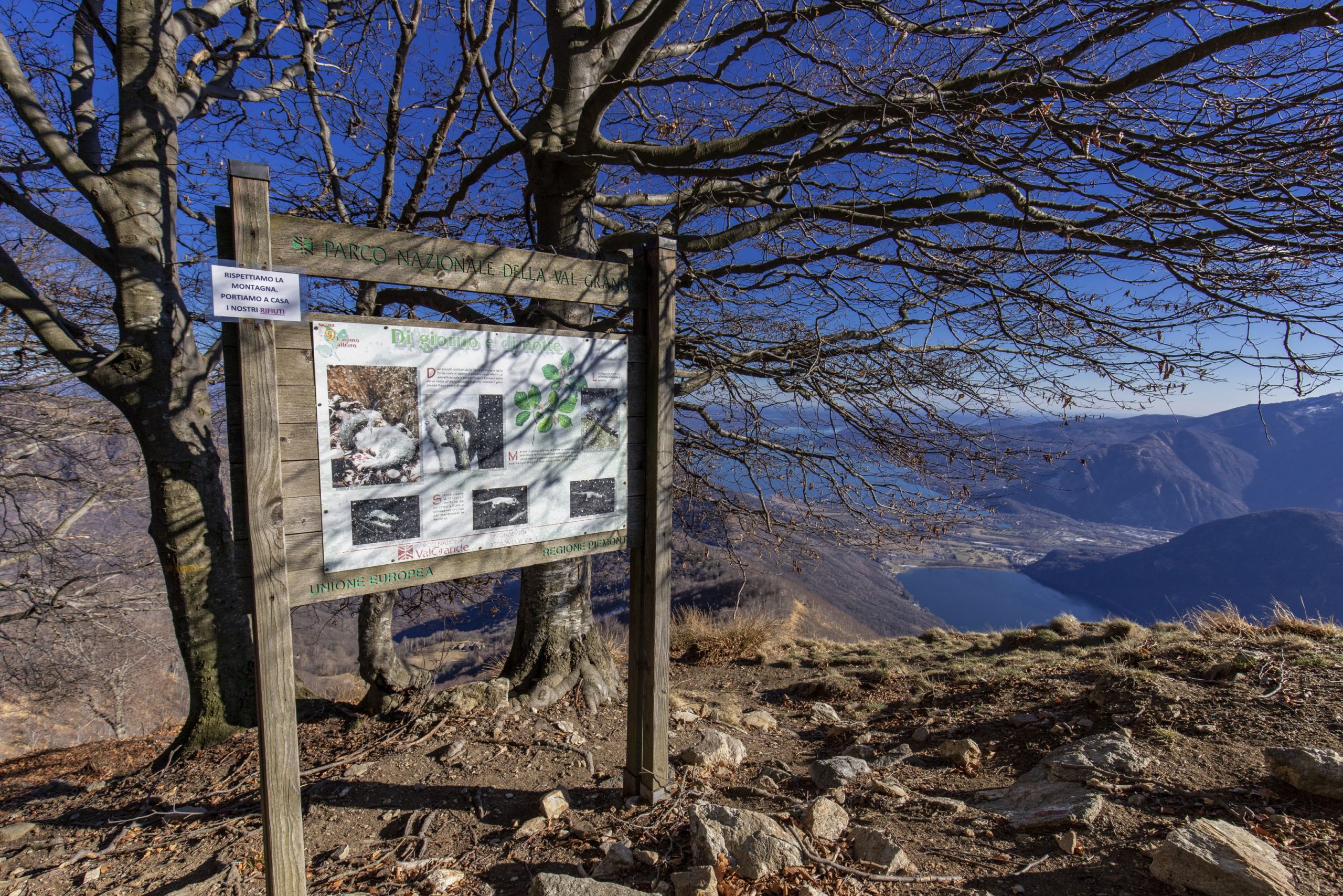
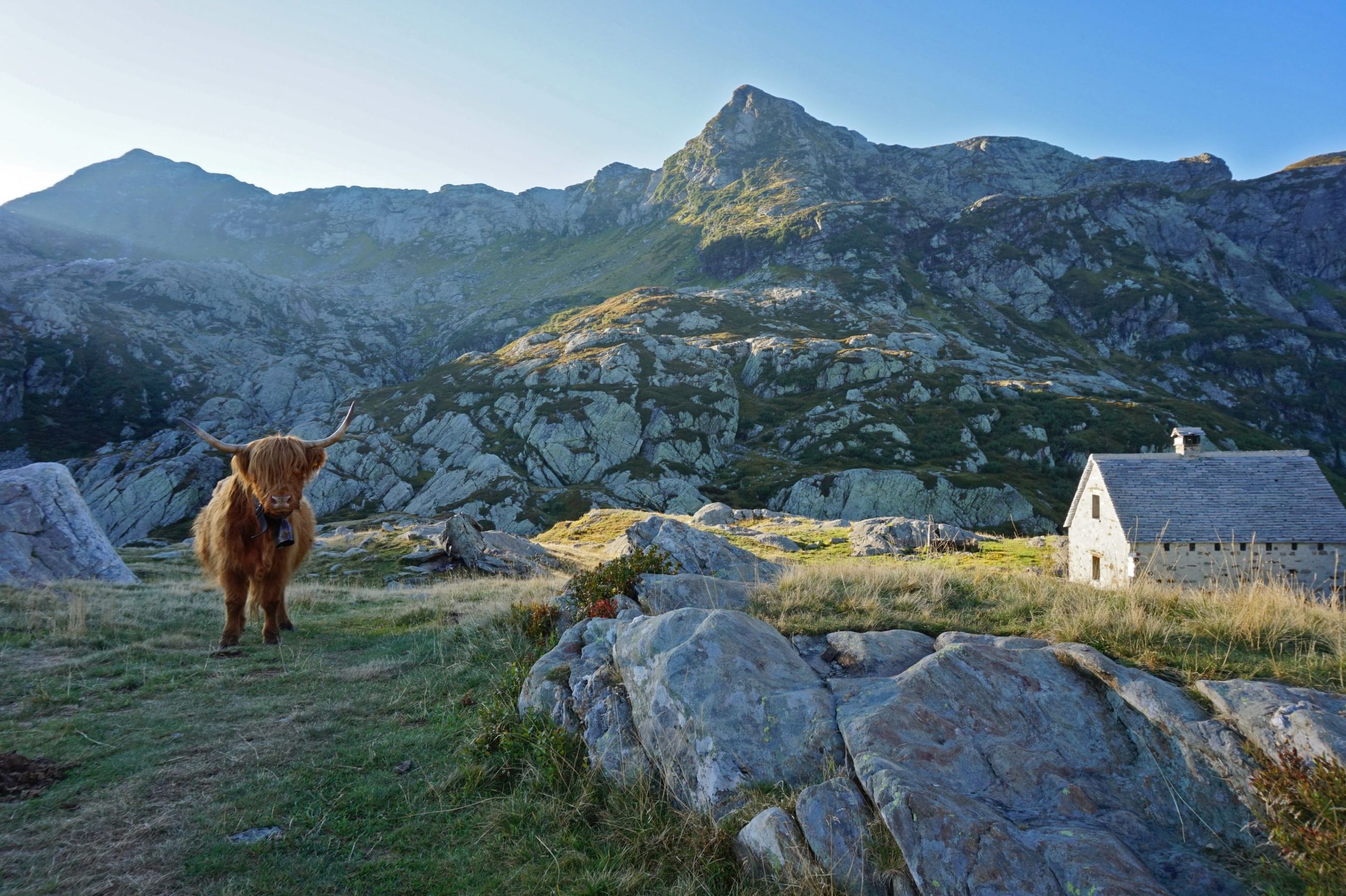
VIA GEOALPINA OF THE VAL GRANDE NATIONAL PARK
VIA GEOALPINA BETWEEN VAL GRANDE AND VALLE STRONA
Val Grande
Route description
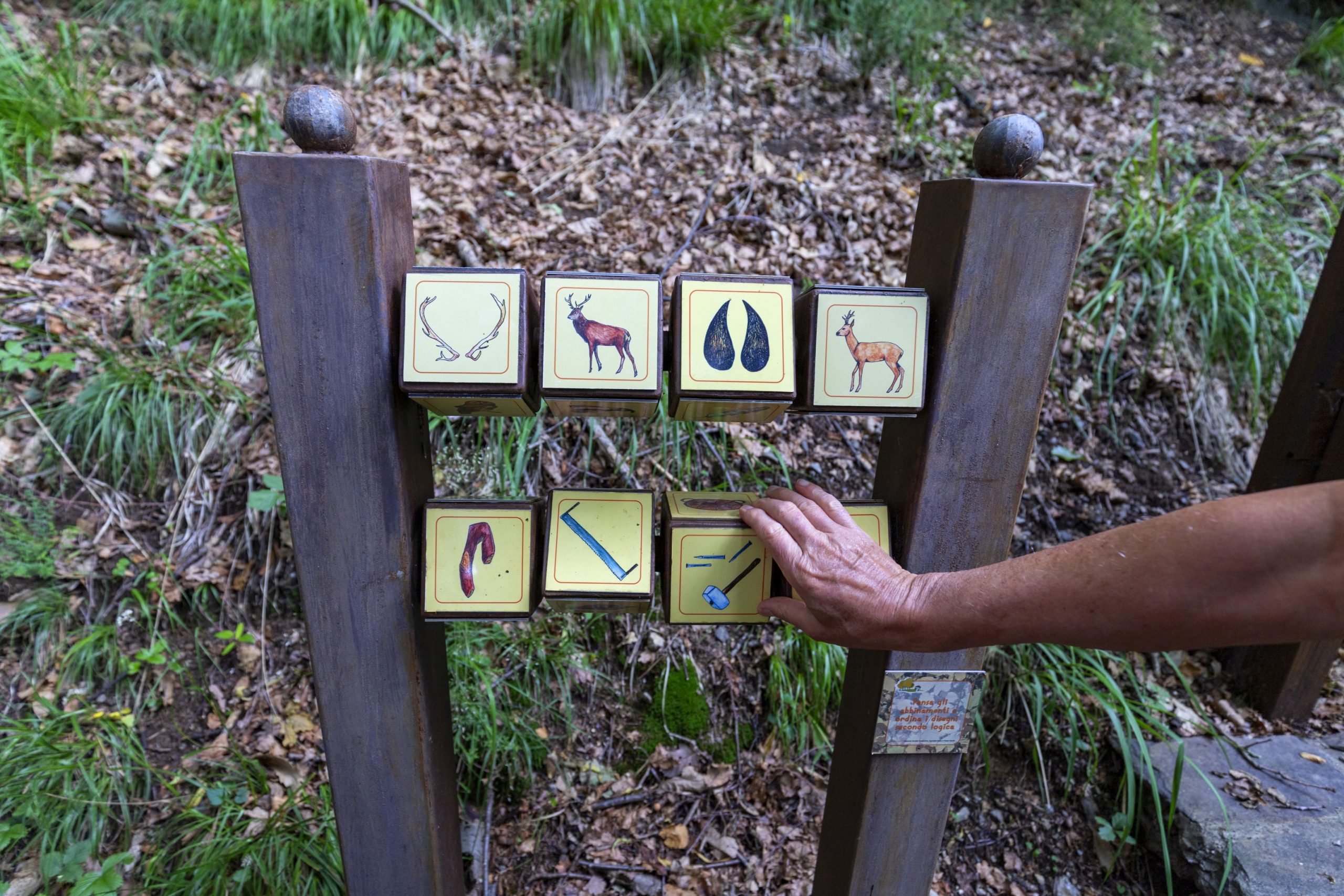
The via Geoalpina [Geoalps trail -ed.] of the Val Grande National Park is part of an international project that wishes to spread knowledge on earth sciences such as geology, geomorphology, hydrology, natural hazards, and mountain exploitation through marked trails that make tourists and hikers aware of the history of the formation of the alpine mountain range and the secrets of the earth.
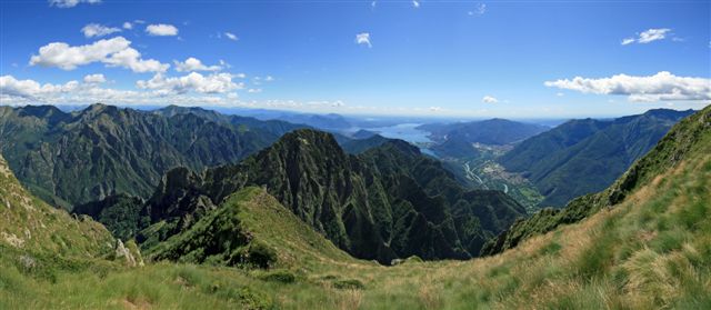
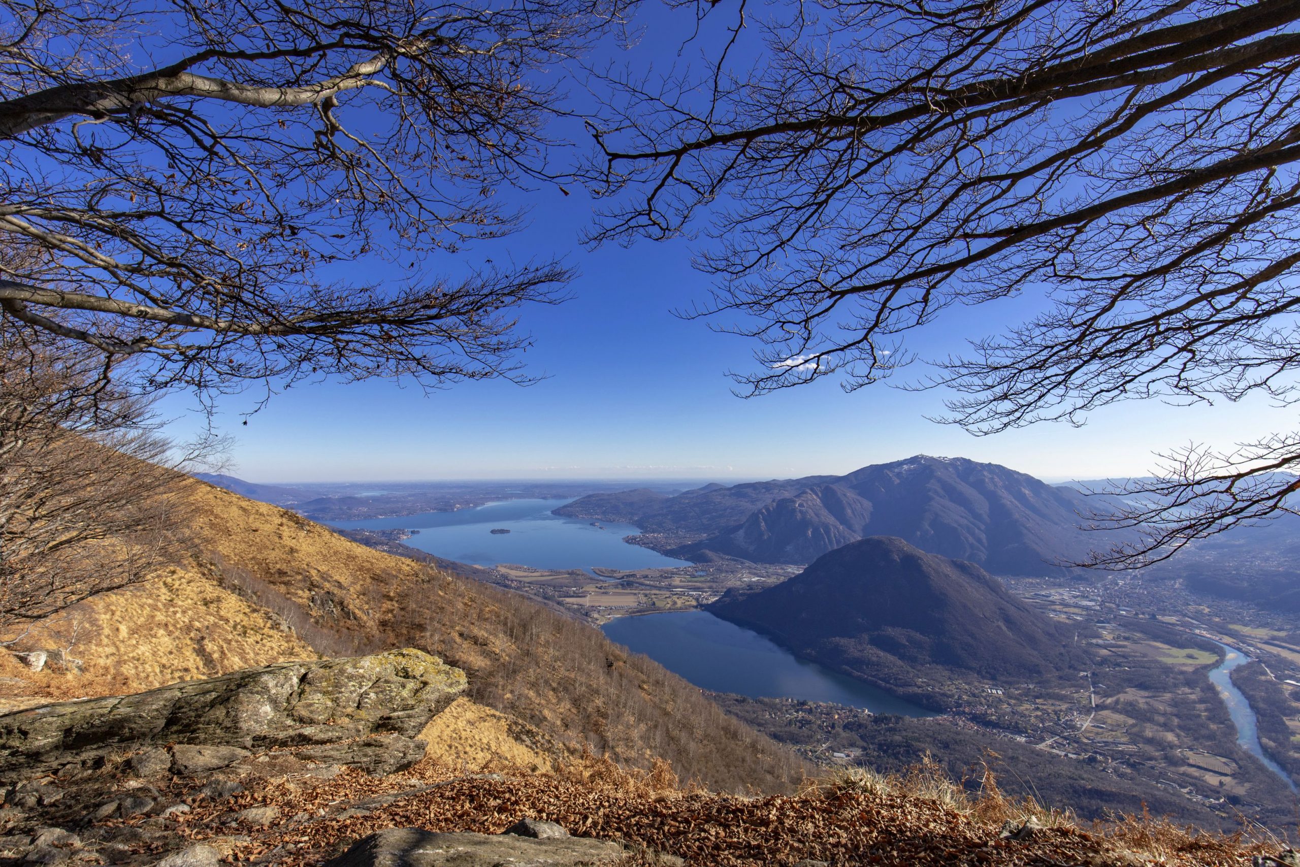
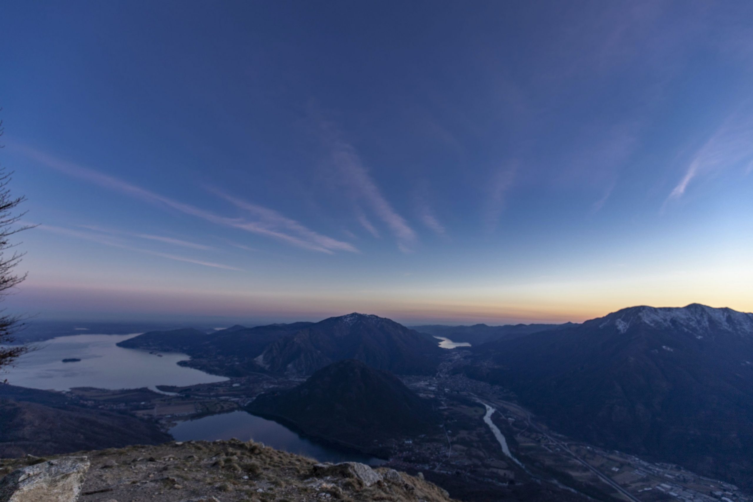
On the one hand, the itinerary strengthens and gives value to the network of historical and environmental routes that are part of the system of excursions in the VCO and upper Novara areas, and, on the other hand, to the north-eastern ridge of the Sesia Val Grande Unesco Global Geopark which is part of the national park and the neighboring areas from the Italian-Swiss border to Campello Monti in the Strona Valley. Walking along Via Geoalpina, besides enjoying an extraordinary variety of landscapes and mountain environments, it will also be possible to explore two important sections of geological interest (equipped with thematic panels) such as the Linea del Pogallo, in the Valley by the same name, and the so-called “Serie dei Laghi” along the ridge of the Linea Cadorna from Pian Cavallo to Zeda.
The itinerary is then connected both in the initial Falmenta-Gurro stretch and in the final Campello-Monti one to the stops of the Great Crossing of the Piedmont Alps and it is, in all respects, a variant of extraordinary interest to reach Lake Maggiore from the Sesia Valley.
Info and stops: https://www.piemonteoutdoor.it/it/attivita/escursionismo/geoalpina
Back to the list of routes