Linear route from the mountains to the lake
LAKE MAGGIORE: MOTTARONE – STRESA
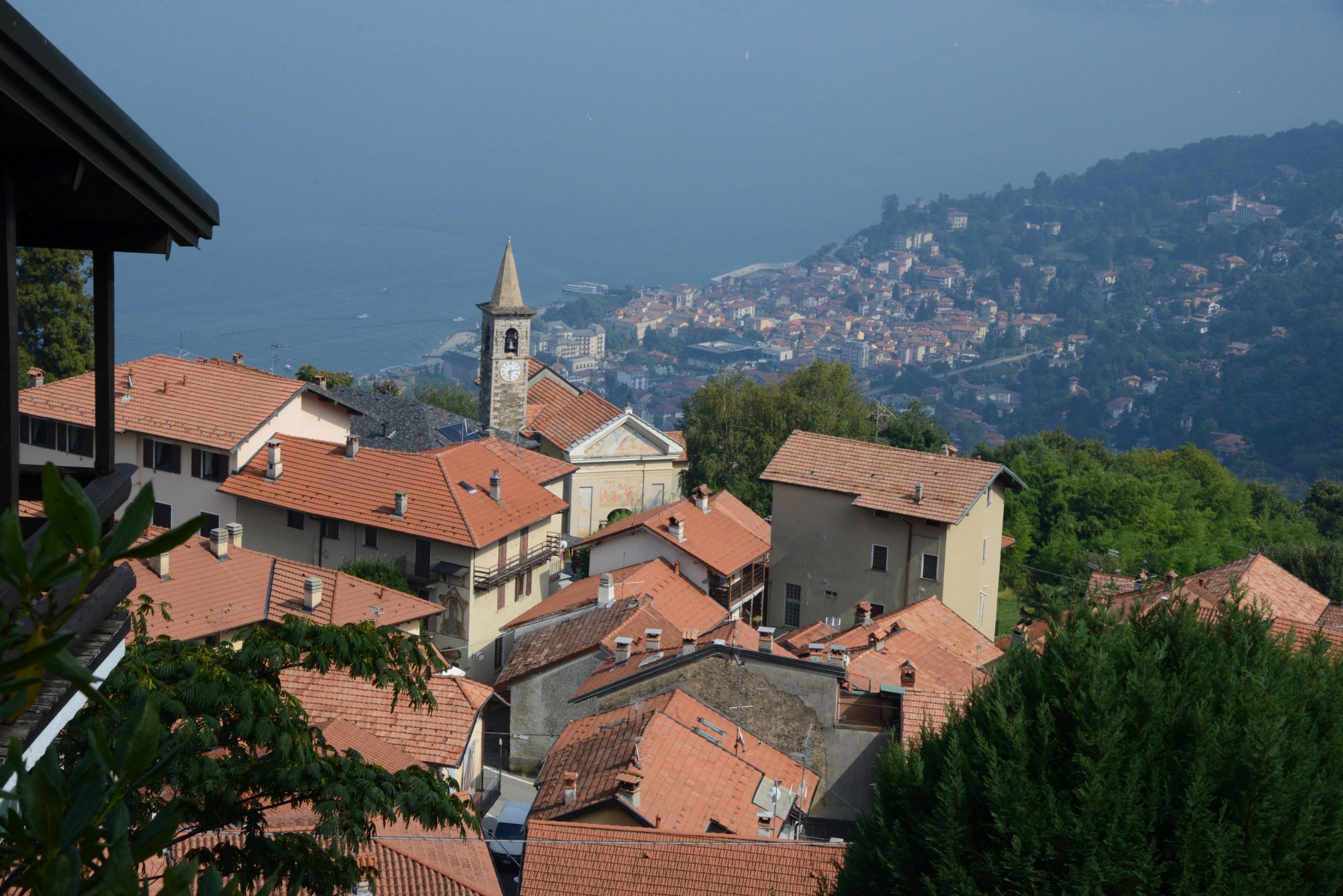
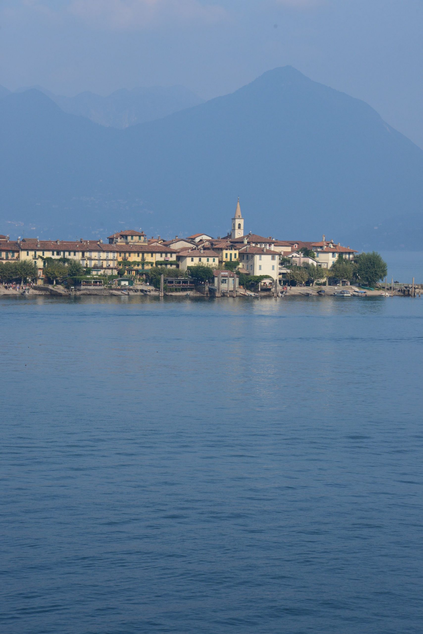
Lago Maggiore
Route description
ATTENTION: CABLE CAR STRESA-MOTTARONE CURRENTLY NOT AVAILABLE !
A linear route from the mountains to the lake that starts from the panoramic summit of Mottarone and ends on the shores of Lake Maggiore… passing from pines to palms!
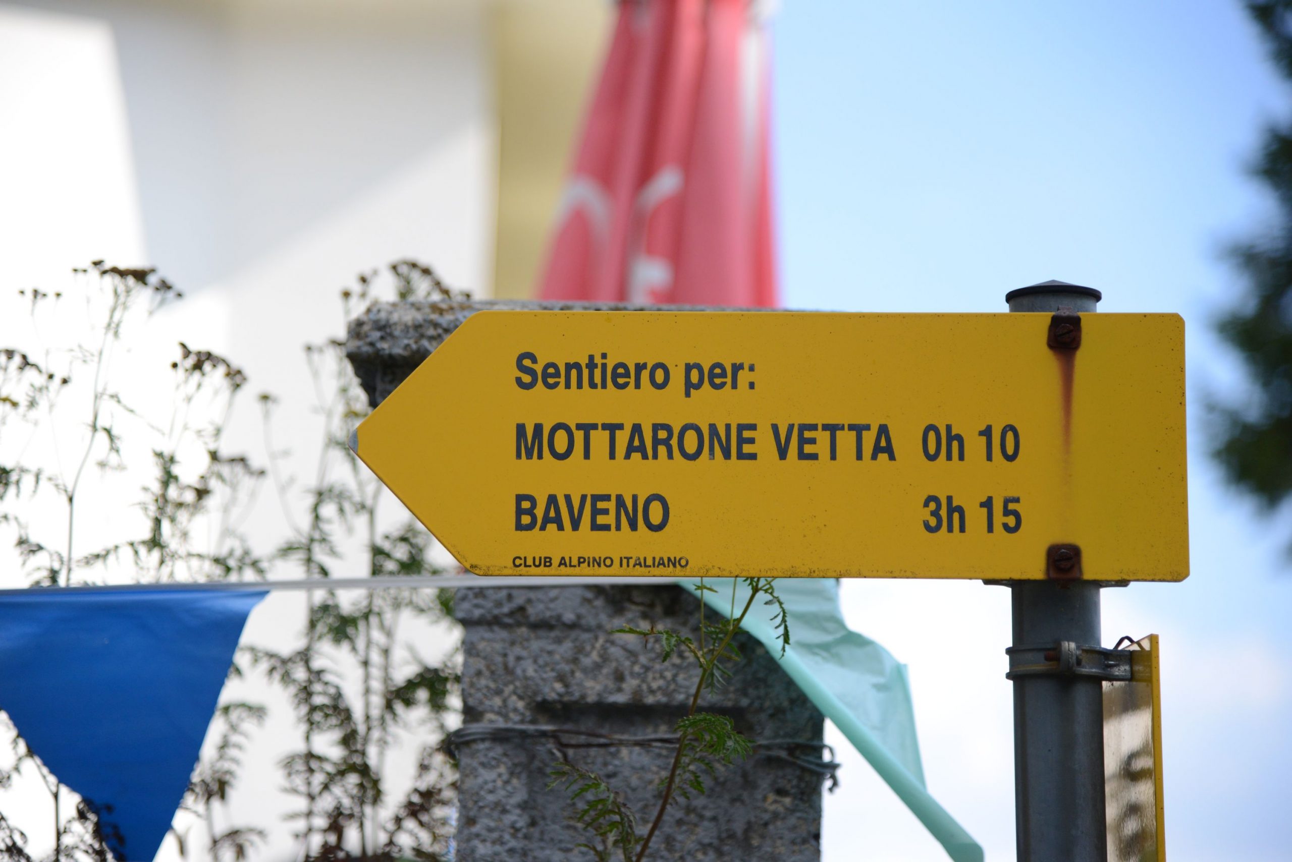
Departure location: Mottarone peak – upper chairlift station (1492 m)
Place of arrival: Stresa, hamlet of Carciano – lower station of the cable car (200 m)
Maximum altitude: Mottarone peak (1492 m)
Difference in altitude: -1300 m downhill
Distance: 12 km
Walking time not counting stops: 4 hours and 30 minutes. Consider taking one whole day.
Type of route: mixed (trail, asphalt, dirt road)
Signs: “VL1 – L1 – Stresa” signs in yellow and/or white/red; red/white signs.
Water: fountains in towns and villages
Recommended period: all year round, without snow
How to get there: Stresa is located along the western side of Lake Maggiore, 7.5 km from the A26 exit of Carpugnino. Car parks are at Piazzale Lido in Carciano (paid parking) and at the railway station. By bus: Verbania-Milan and Omegna-Arona lines (www.safduemila.com); Novara-Domodossola line (www.stnnet.it). By train: Milan-Domodossola line, Stresa station (www.trenitalia.com). By boat: Arona-Locarno and Locarno-Arona lines (www.navigazionelaghi.it). From Carciano di Stresa, there is a cable car every 20 minutes; the ride lasts 20 minutes (www.stresa-mottarone.it).
Information: Distretto Turistico dei Laghi www.distrettolaghi.it; IAT Office – Piazza Marconi 16, Stresa, tel. +39 (0)323.30150, www.stresaturismo.it; Municipality of Stresa www.comune.stresa.vb.it
The itinerary
Given the considerable difference in altitude, which would make a round-trip route completely unsuitable for children, this trail route has been designed entirely downhill, starting from Mottarone at 1492 meters above sea level. The summit can be reached by car, but after finishing the route in Stresa you would have to go back up to get your vehicle, so we recommend taking the cable car up. Your children will love the ride! Therefore, you’ll be starting out from Lido di Stresa, in the hamlet of Carciano. The first section, blue in colour, starts here. In a few minutes, you’ll go from an altitude of 200 metres on the lake to 800 metres up in Alpino. With younger children, it is advisable to stay at the same altitude for a short time when you reach your destination so that they can get used to the sudden change in altitude. You could take advantage of this time to visit the Alpinia Botanical Garden, which is only 500 metres away from the station, along the asphalt road downhill.
This botanical garden, opened in 1934, has more than a thousand plant species, all from the Alps. If you prefer, it is possible to plan a visit during the descent on foot as the route passes right in front of the entrance (www.giardinobotanicoalpinia.altervista.org).
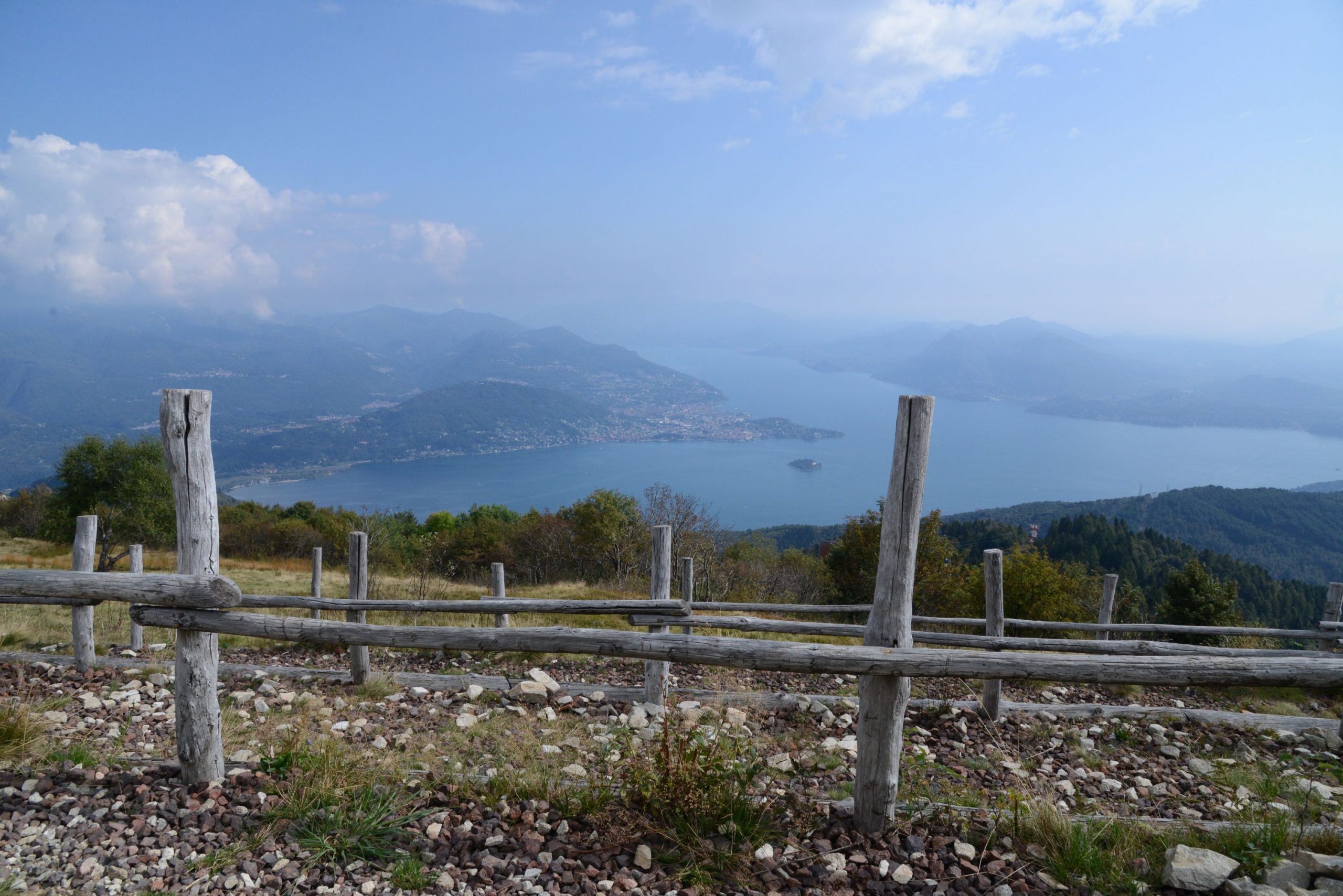
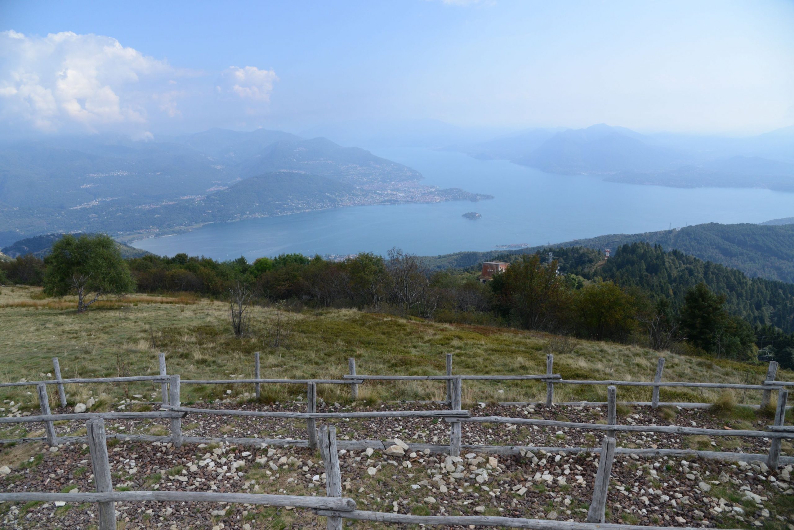
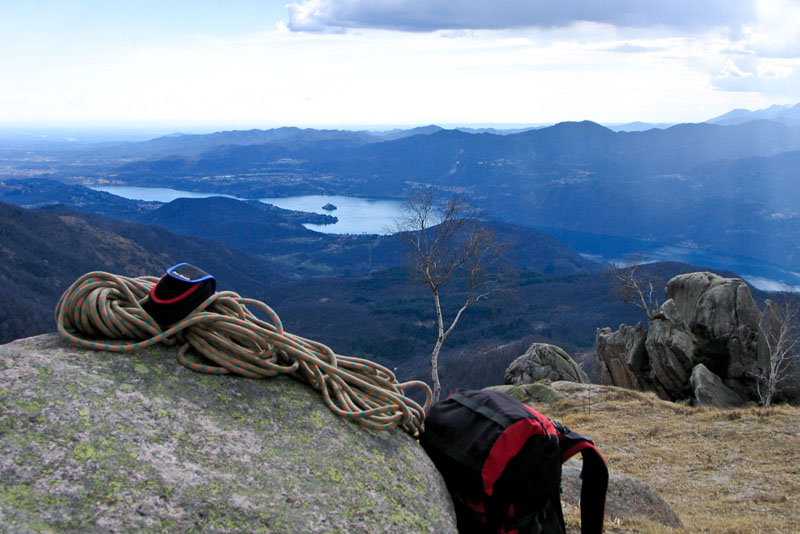
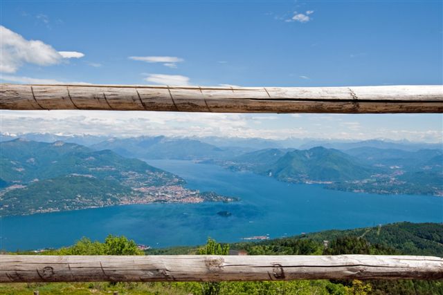
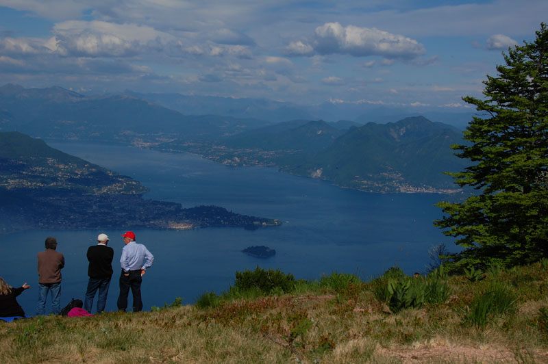
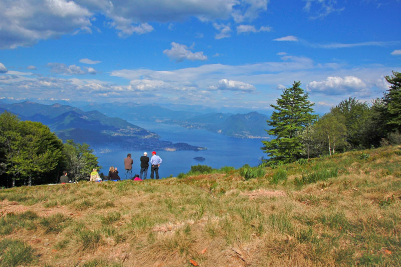
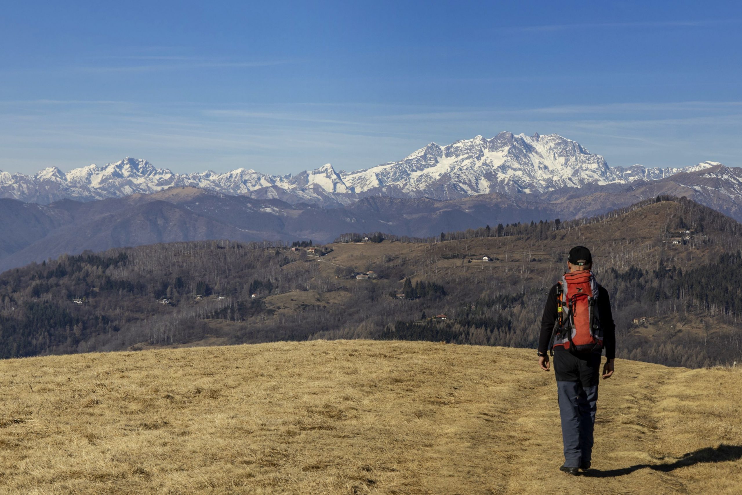
A second red and white section of the trail leads up to 1385 metres, to the upper station. From here, you can reach the summit with a final chairlift ride, included in the cable car ticket, or with a 10-minute walk along the asphalt road and the path. Once at the top, visitors can enjoy a marvellous view of Lake Maggiore, Lake Orta, the lakes of Varese and Lake Mergozzo overlooked by the majestic mountain circle featuring Mount Rosa. After admiring the entire panorama, you’ll begin to descend taking the concrete road that starts near the Alpyland sledge lift.
Since 2010, the Mottarone summit has been offering this adrenaline-pumping bob-sleigh ride on a 1200-metre-long track www.alpyland.com)!
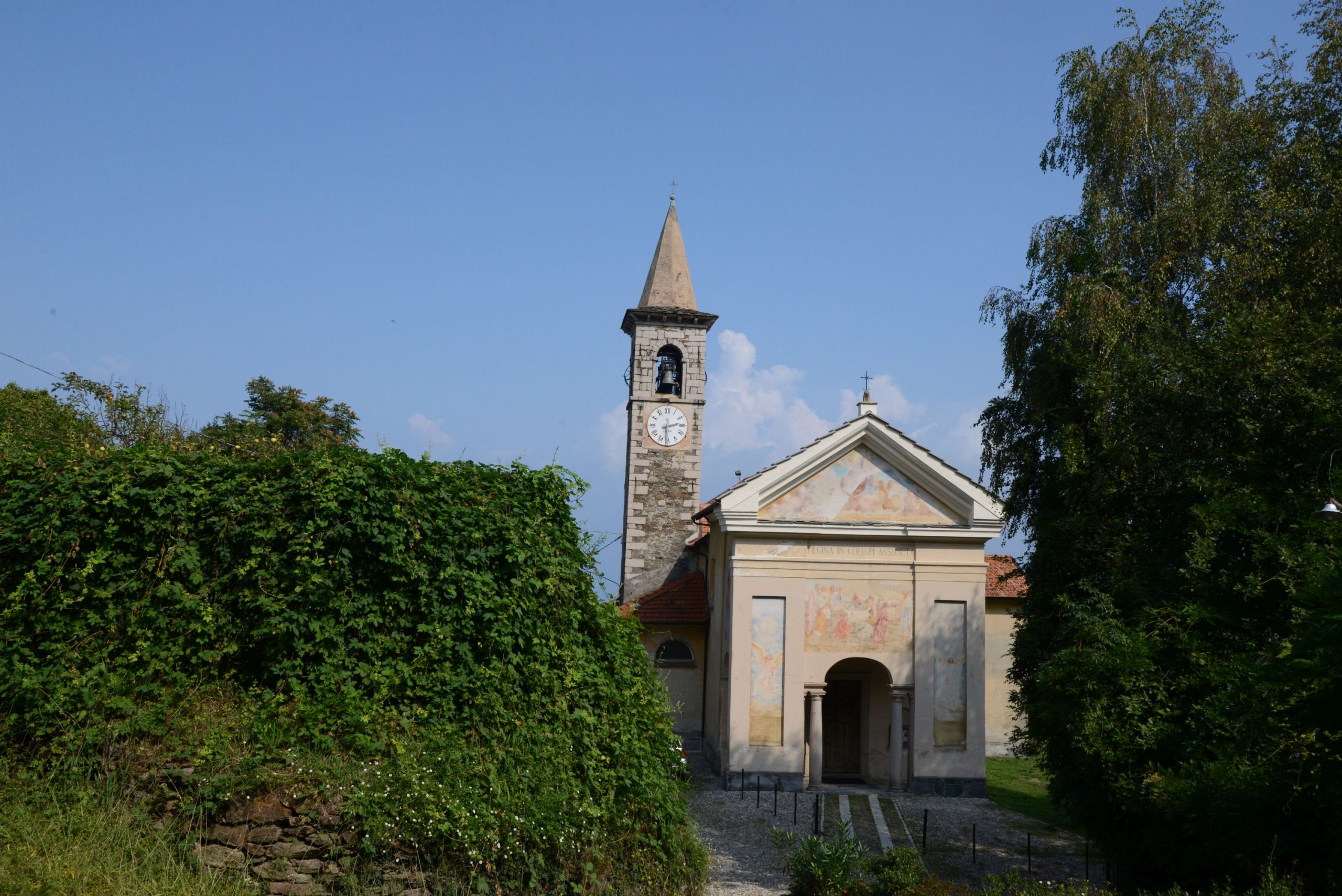
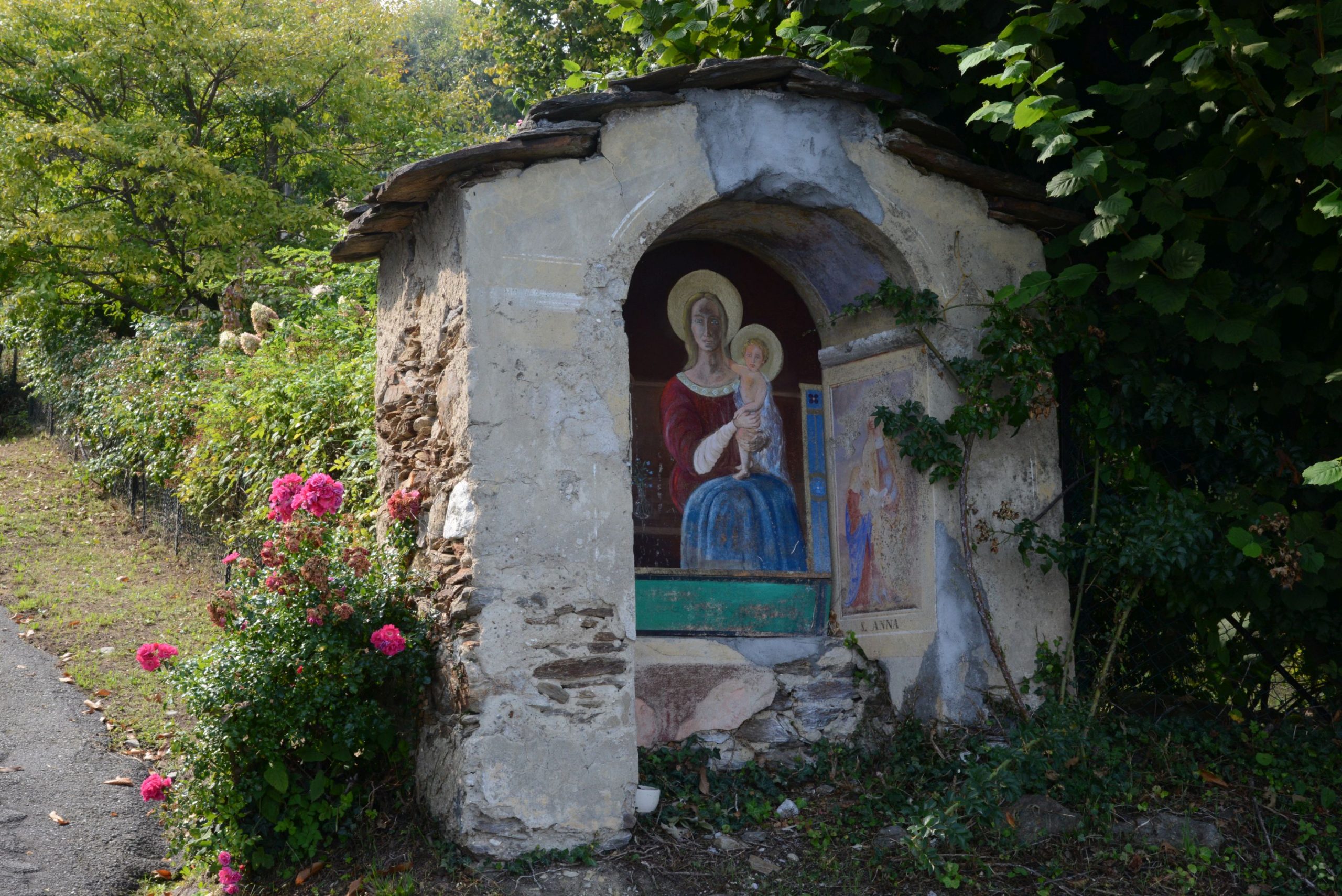
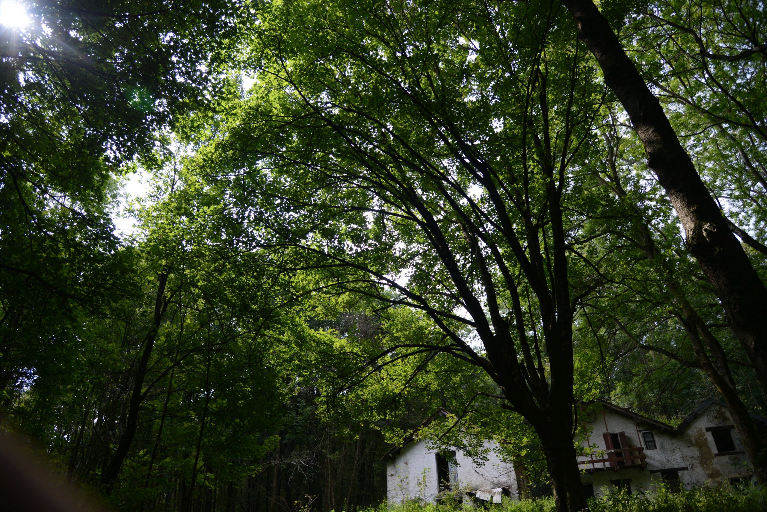
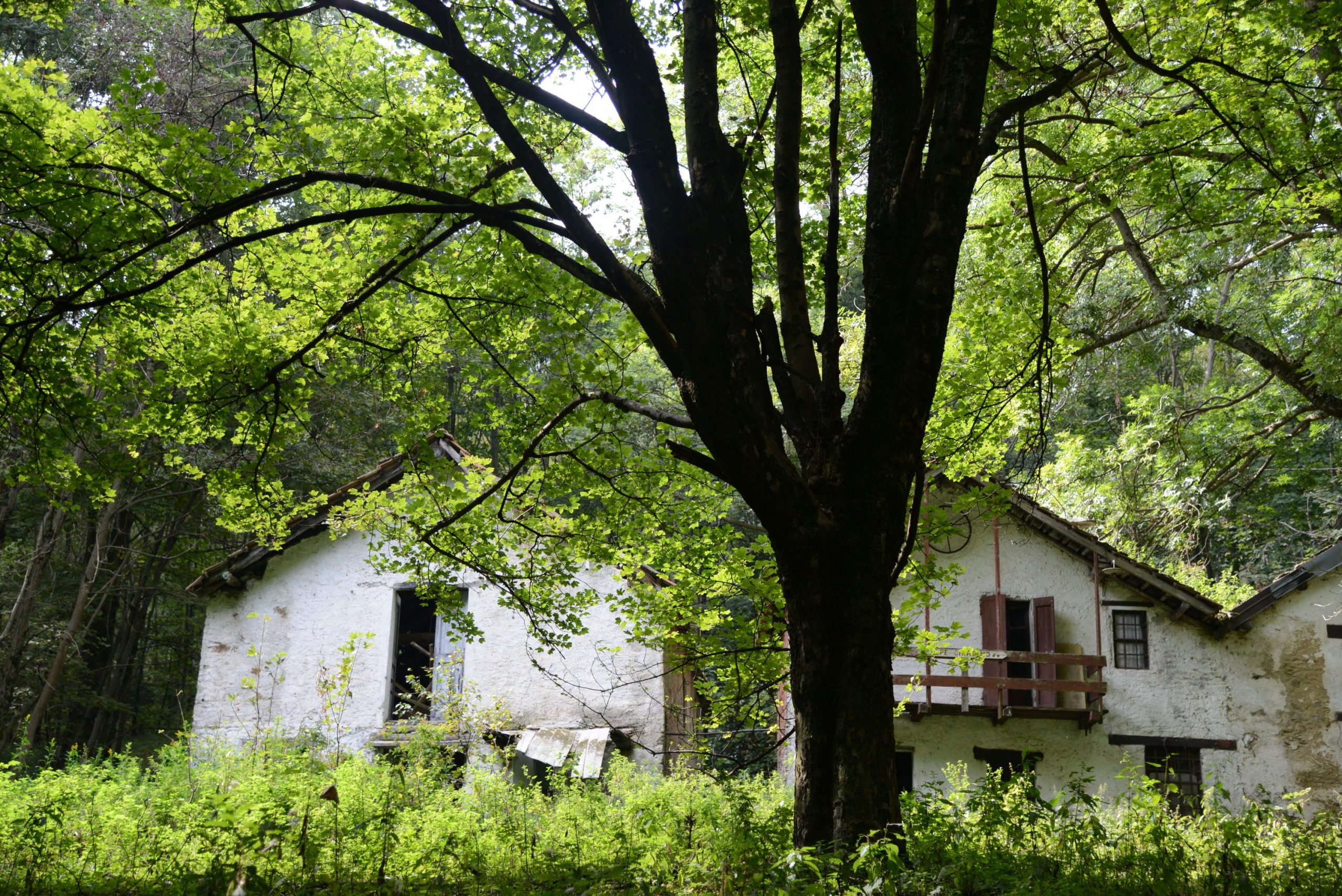
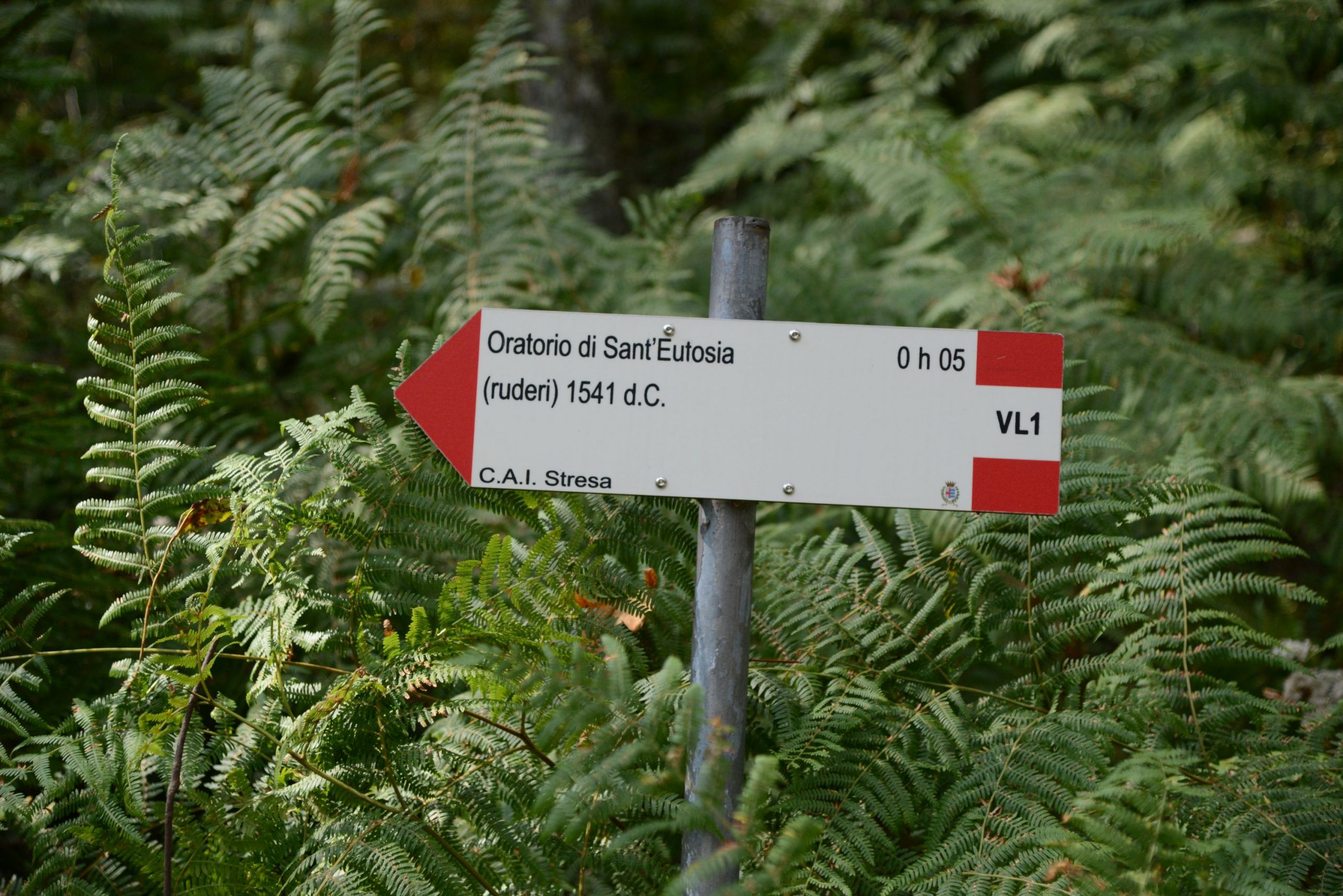
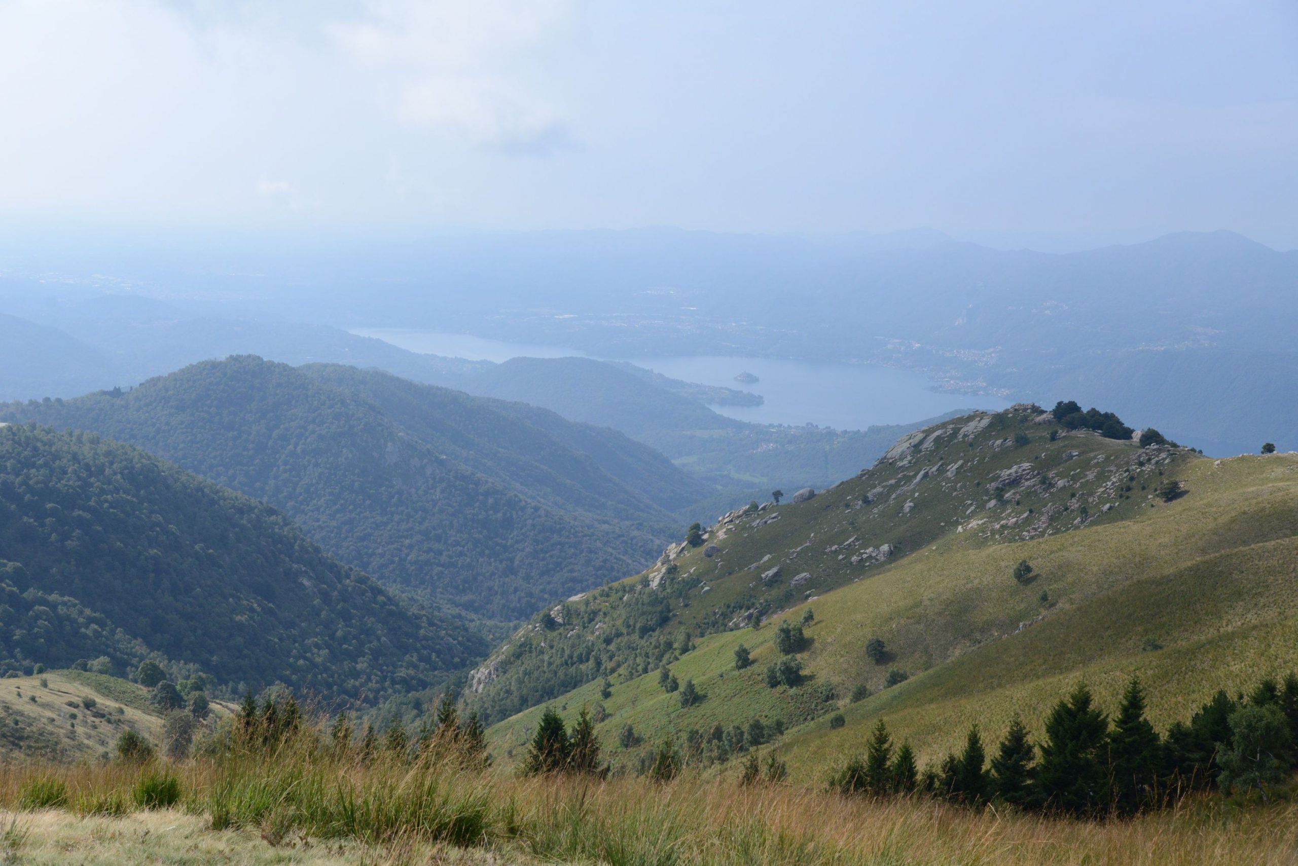
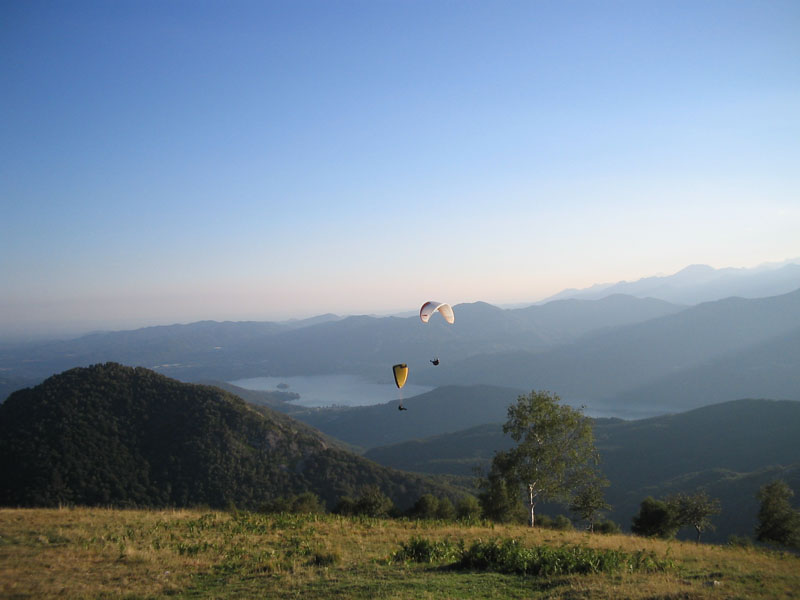
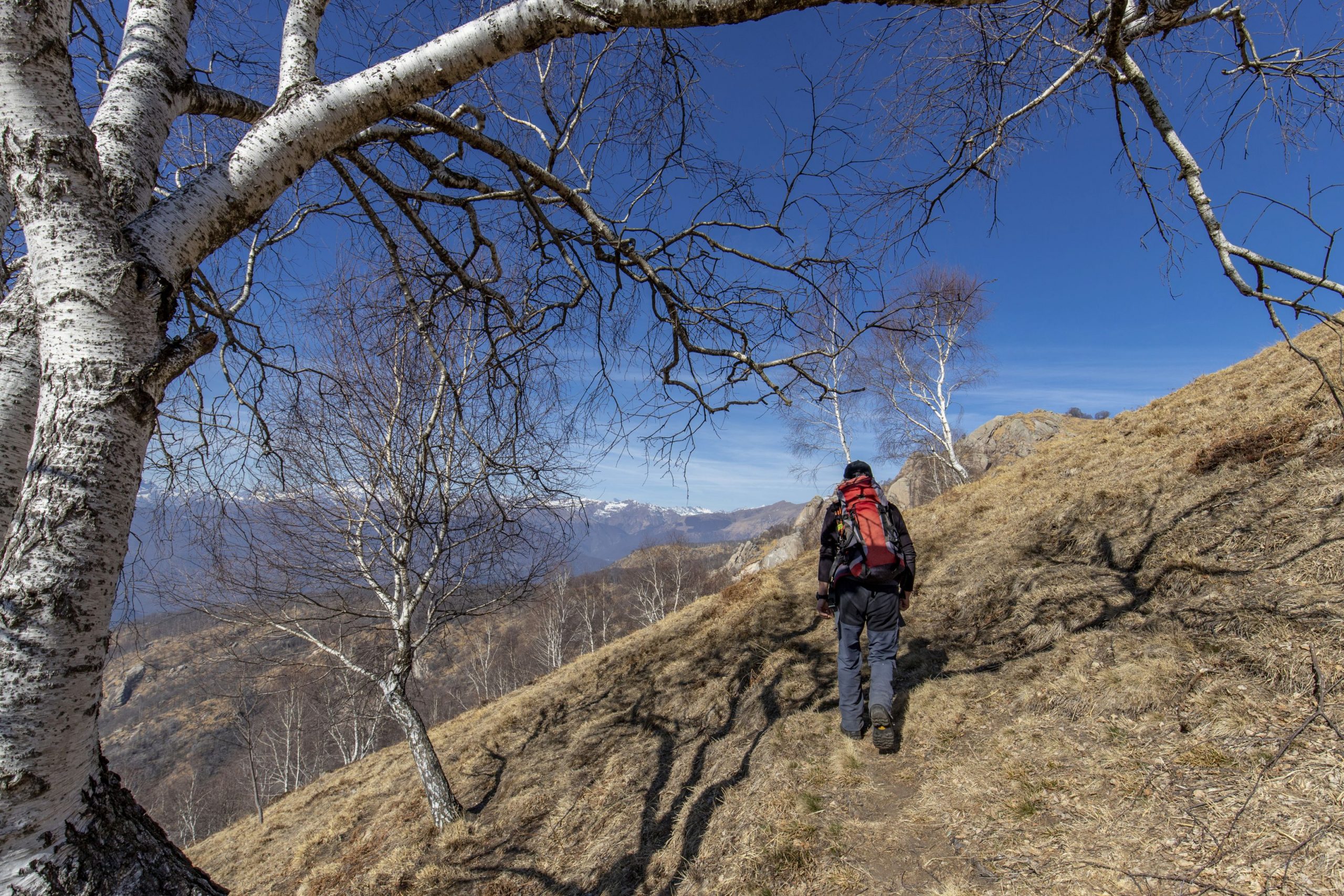
The steep pedestrian descent leads to the road and from here, following the red and white signs, take the second asphalt road on the right, downhill. You might get to see paragliders taking off! After passing below the church dedicated to Our Lady of the Snow (Madonna della Neve), you will reach the upper cable car station. Take the grassy track marked as a pedestrian path that goes downhill, passing under the cables of the cable car. Follow the red and white rectangular signs and the L1 and VL1 signs, which are either yellow or red and white. After a more gradual initial stretch in the woods, the road becomes steep and stony. A very short detour leads to the Oratory of Sant’Eurosia, evocative ruins that are not kept up. It’s best not to linger too long with children. When you reach an isolated building, the road becomes more gradual and “soft”. At the Alpe Giardino, consisting of a few beautiful abandoned buildings, you walk through a relaxing spruce forest that leads to a beech forest and, at the end of this road, to the most beautiful and evocative stretch of the path with large trees and a magnificent view. After the barrier, descend along a wide dirt road to the Alpino cable car station.
Note: Please remember that there is still a long way to go from this point. If the children are tired, you can take the cable car down to Stresa.
Follow the asphalt road downhill until you pass in front of the Botanical Garden. After about 500 metres, the round red and white marks lead to a small steep road on the left that in turn leads to a dirt road. Take this road to the left, and pass through the chestnut wood, close to the gardens of some villas. When you reach the asphalt road, always follow the coloured rectangular signs and the other signs that lead you along an asphalt road that descends steeply (signs prohibiting bicycles and the word “downhill”). The road quickly leads to the village of Levo. A double sign indicates “Stresa” in two possible directions. Both are correct. Going to the right, you’ll pass near the Romanesque oratory dedicated to SS Giacomo and Filippo, dating from the 11th century, with frescoes of the 16th century. When you get to the provincial road, cross it bearing to the left and take the road to the right just before a bar, and go downhill to the parish church (water fountain). Behind the church, there is a beautiful playground. When you leave the village, go down the largest road, and follow it for a very short downhill stretch (watch for cars). You’ll turn off as soon as you pass a restaurant. Once again on a quieter road, descend steeply until you reach the 12th century Church of San Bernardo in the hamlet of Someraro. Continue downhill to the right. Cross the road and take the steep small road downhill. Coloured round marks are more rare now, but forks are always well marked. The asphalt road is narrow and without pavement/side-walk, but fortunately there are only occasional passing cars of local residents. Passing between the fences of several villas, you’ll reach a traffic light and cross the road. Then you’ll walk along a pleasant street that leads to the cable car station.
to learn more
the view
The view from Mottarone is always spectacular. In 1954, the New York Times considered the view of the Borromeo Islands and Lake Maggiore, from both Alpino and the peak, to be one of the ten most fascinating panoramas in the world.
the old railway
The proposed route follows the old railway line in many places. It’s true that from 1911 to 1963, an electric rack train went up to Mottarone. This service was then decommissioned and replaced by the cable car in 1970. Today there is a bob-sleigh track on rails at the summit, but at beginning of the 20th century, there was already a bob-sleigh track that used the railway track to go back up the mountain.
tips for young hikers
A fairly long hike, so only take children who are accustomed to walking. Not suitable for pushchairs.
Trail creators: Franco Voglino, Annalisa Porporato and Nora Voglino
Content authors: Franco Voglino and Annalisa Porporato
Back to the list of routes