THE ANCIENT ROAD THAT STARTS FROM THE OSSOLANO VALLEY FLOOR AND CLIMBS UP TO THE BINN VALLEY
VIA DELL’ARBOLA – VIA ALBRUN
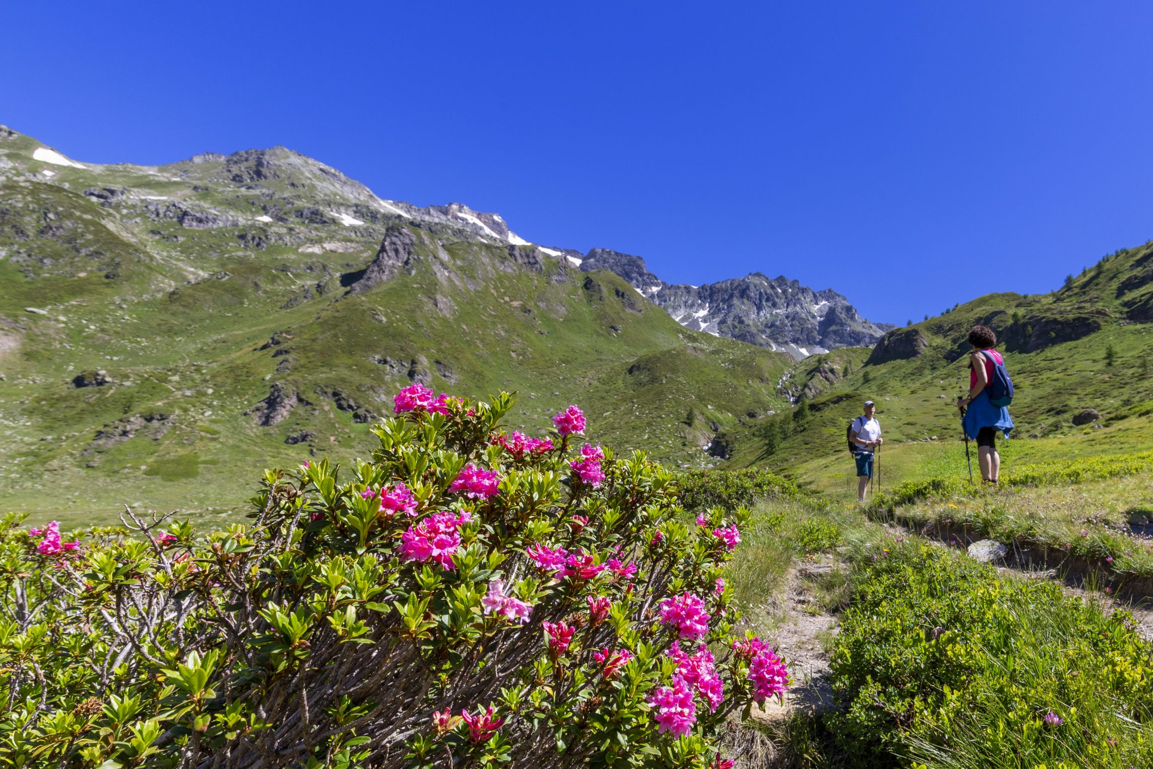
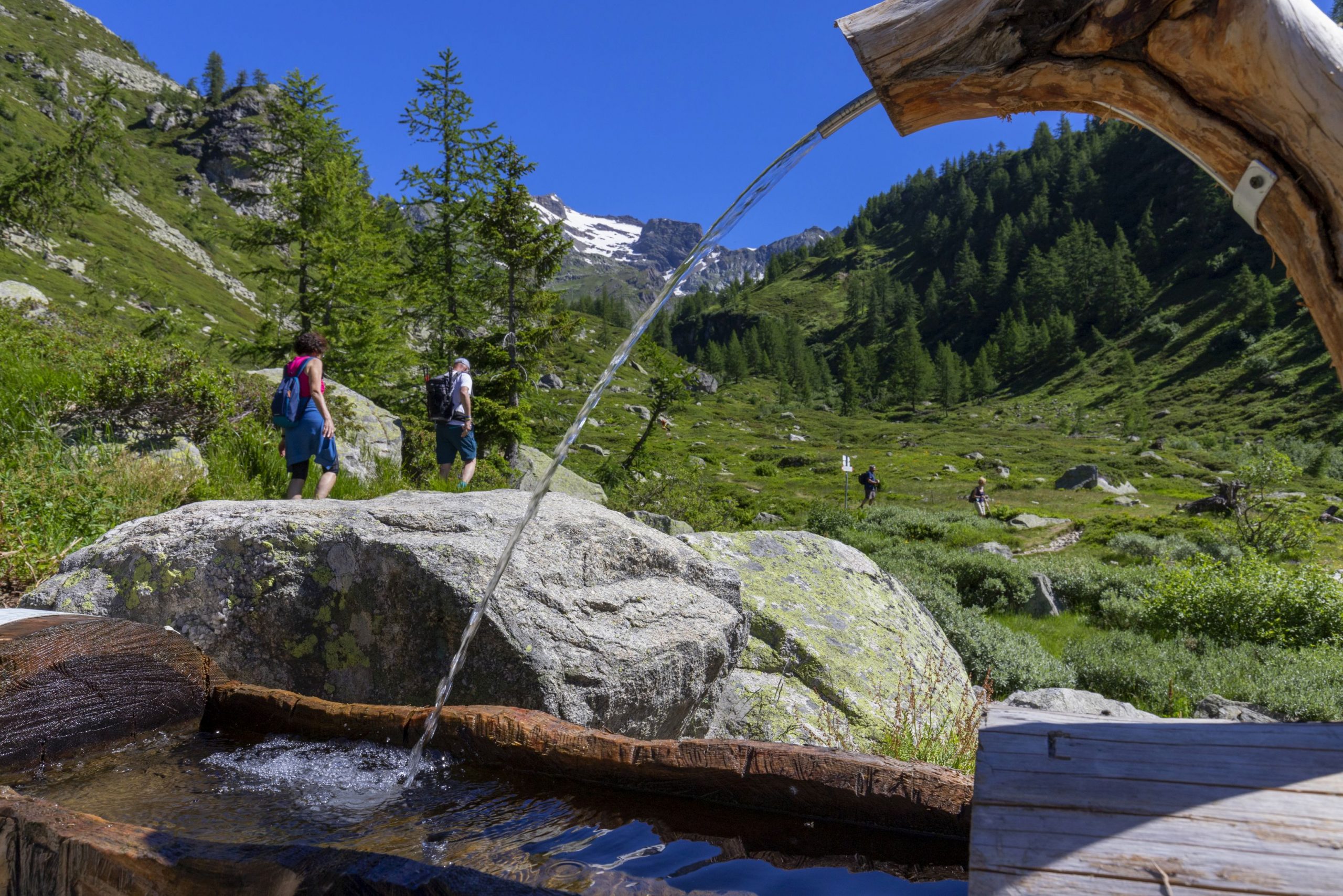
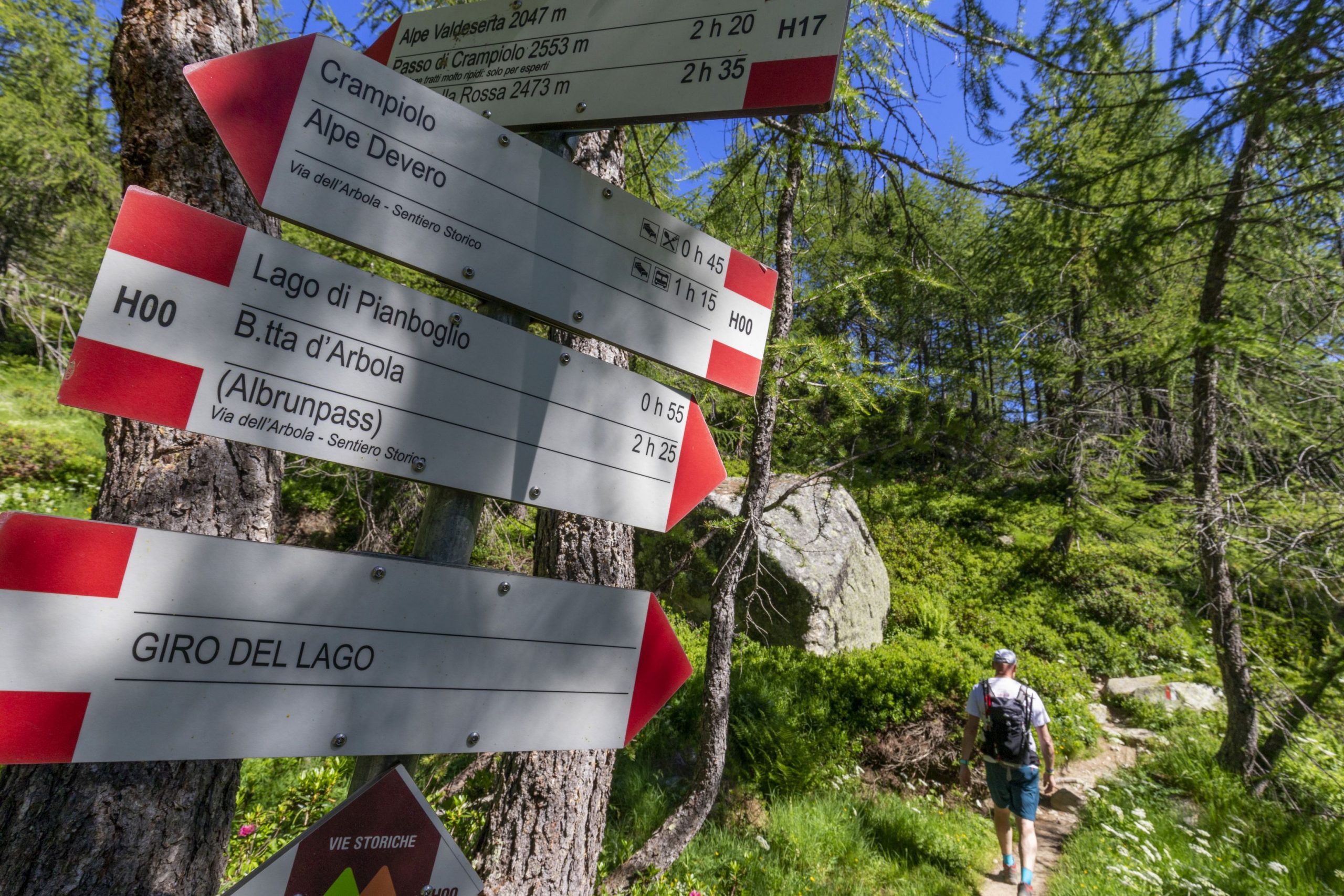
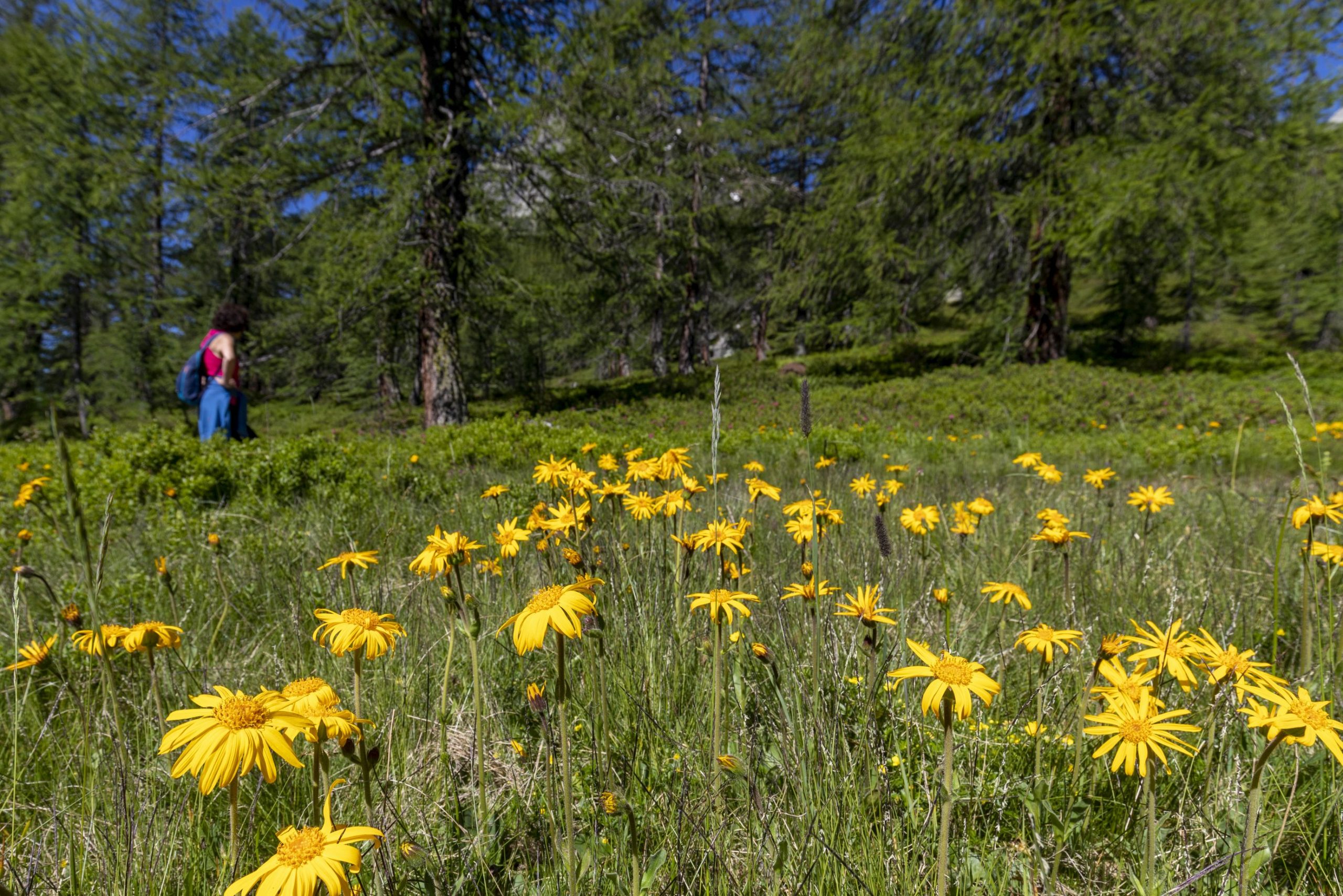
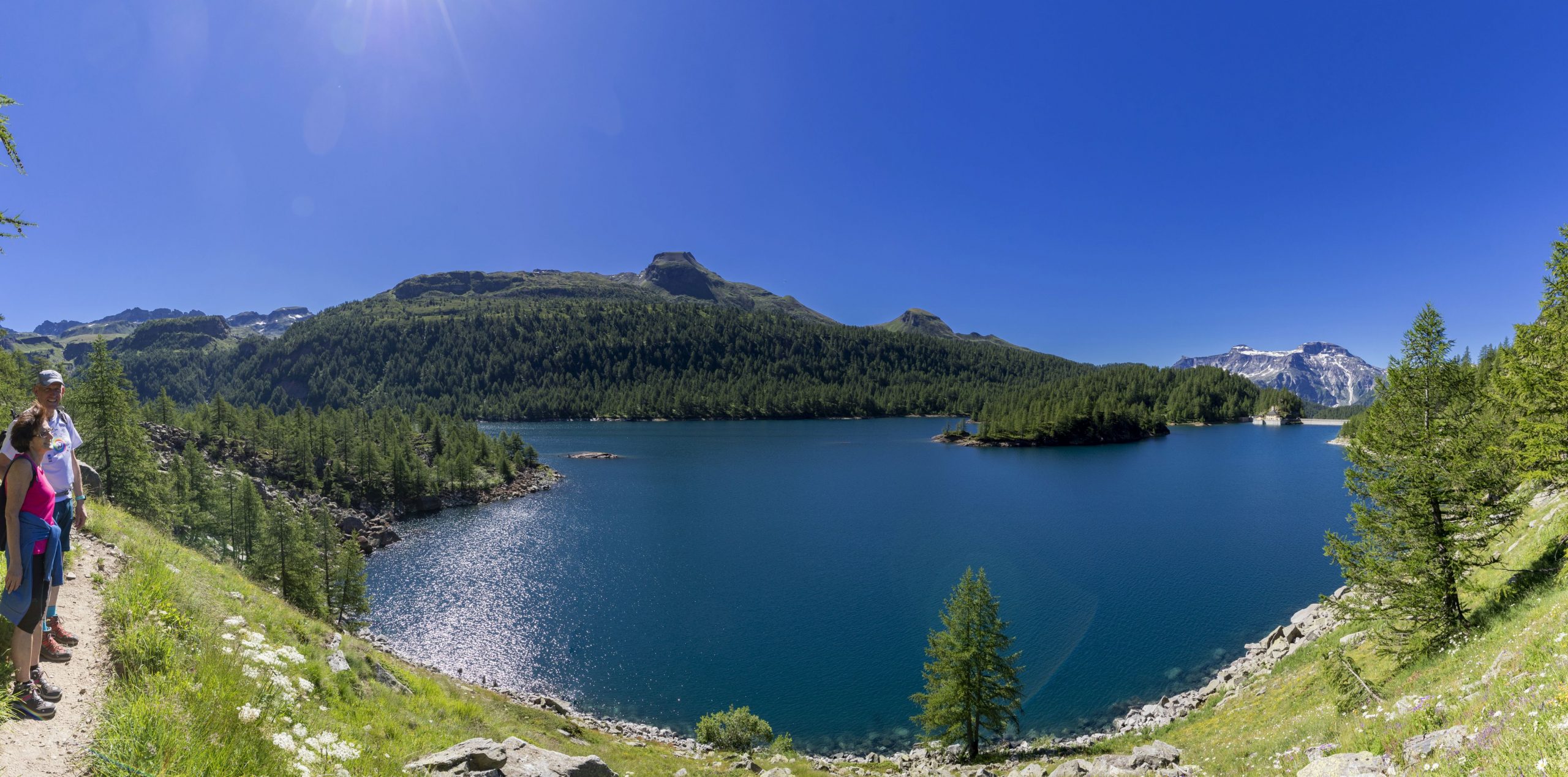
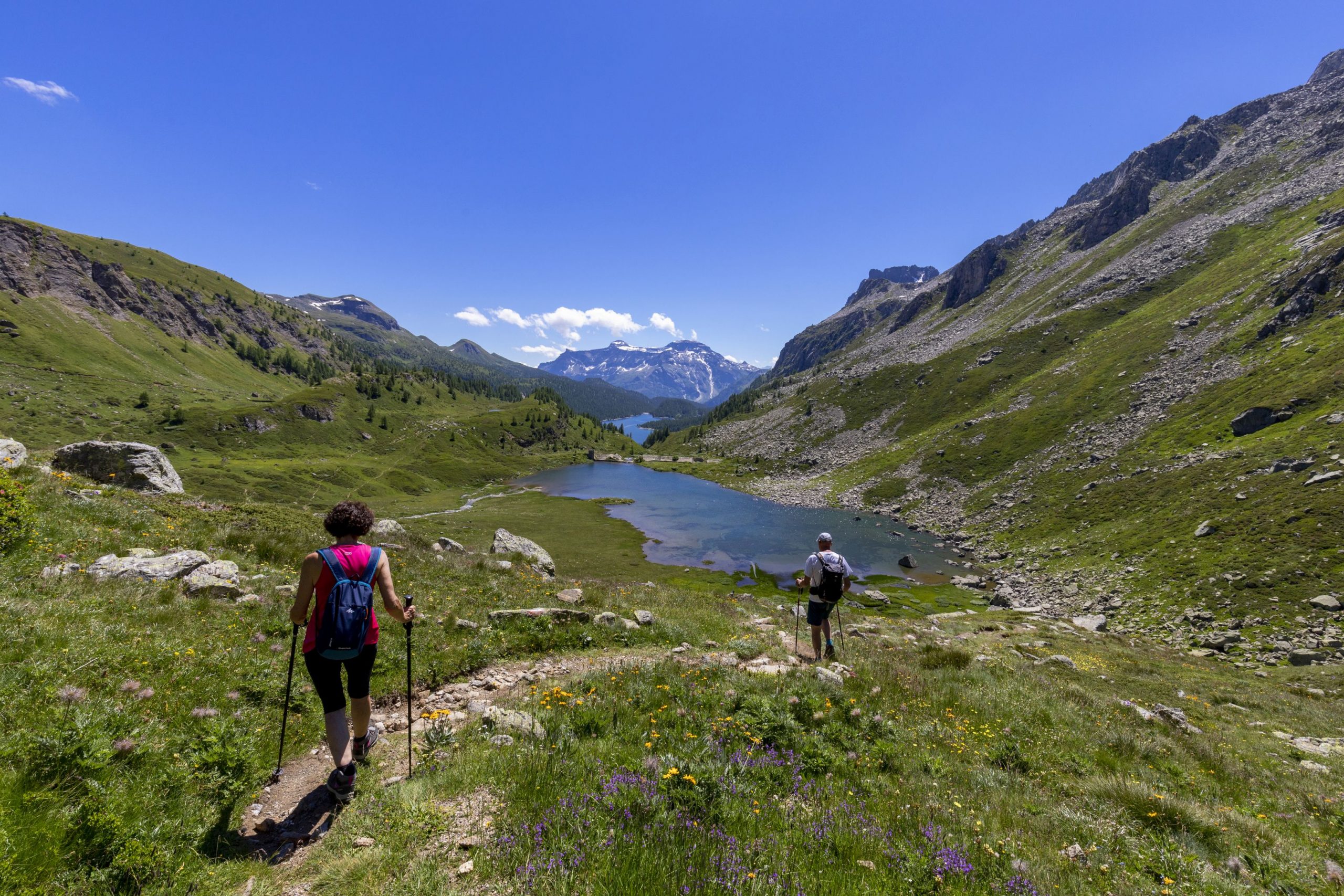
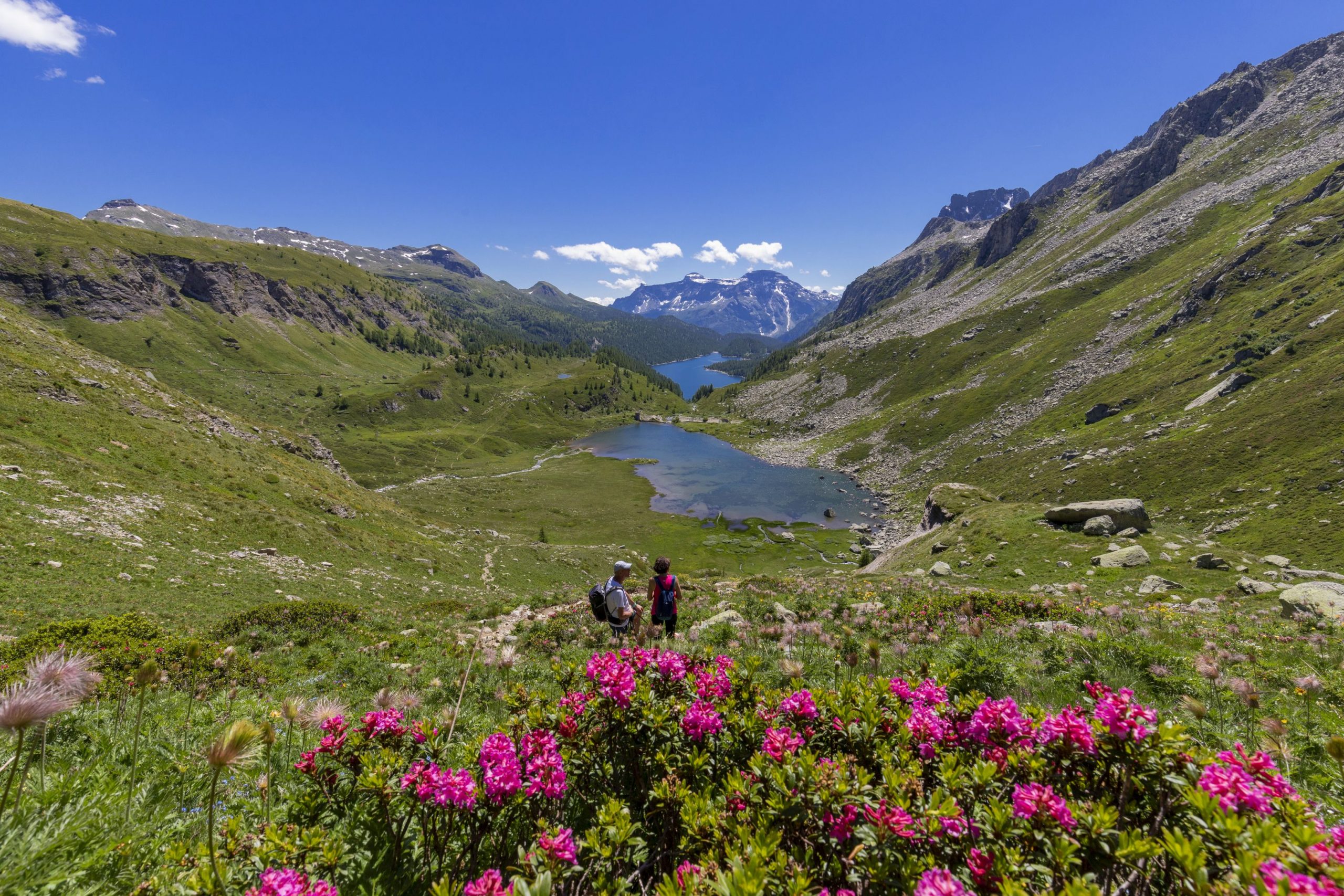
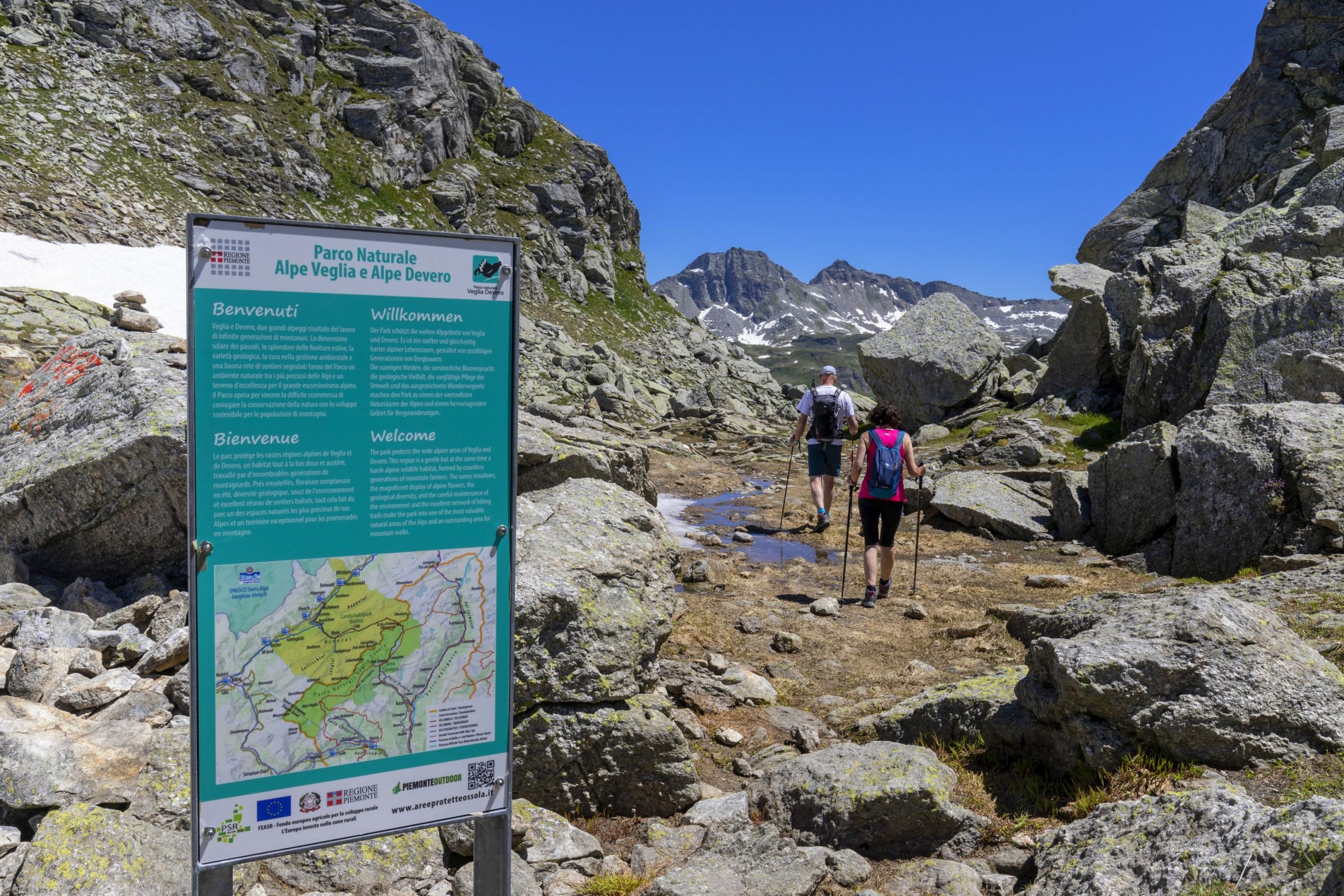
Alpi Veglia-Devero
Route description
The ancient road that led from the floor of the Ossola Valley to the Binn Valley through the Bocchetta d’Arbola or Albrunpass (2409 m a.s.l.) and then to Switzerland is particularly important for the history of transits through the Alps.
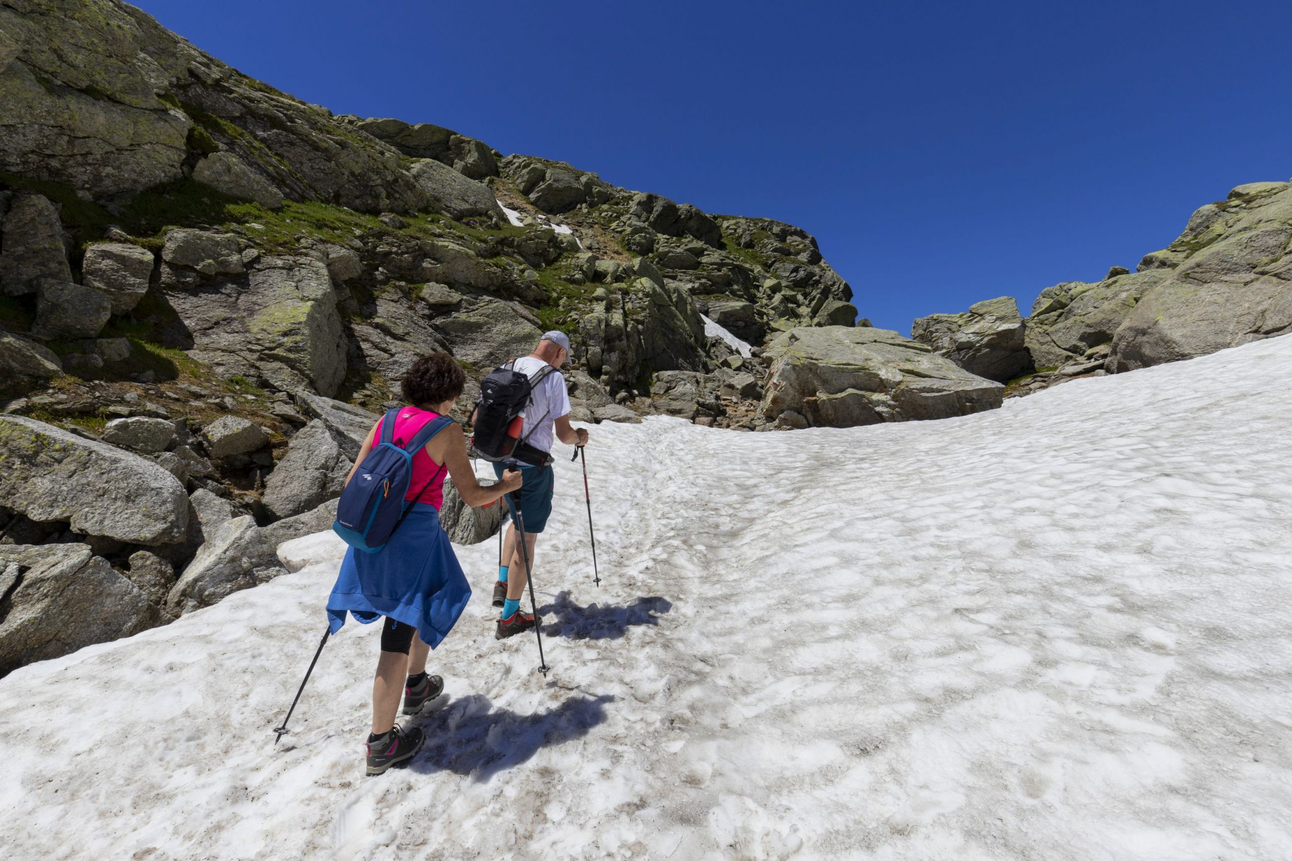
Arbola is the lowest and easiest pass in the Lepontine Alps, second only to the Simplon in the Ossola mountains. While the Boccareccio Pass, Cornera Pass, and Rossa Pass are made difficult by imposing rock ridges that make access difficult for people and impossible for pack animals, the paved mule track of Arbola allowed the transit of long lines of pack animals loaded with goods. A long caravan route across the Lepontine Alps, not far from the Gotthard, from which rivers flow in the direction of the four winds, has always been a fundamental orographic junction in the Alpine road network: Arbola leads to the Binntal, Gries leads to the Hasli and then to Oberland and San Giacomo Pass (the “Mountain of Valdolgia”) leads to Airolo and Ticino.
The “Antigorio road” toward Baceno, Devero, and Arbola (the “lower pass” to distinguish it from the upper or “glacier pass” of the Gries) was for many centuries the main commercial road between Valais and Lombardy. So much so that even ancient maps define Arbola as a “pass towards Lombardy” (Pass gegen Lombardy, Sebastian Munster, 1550) or “pass towards Milan” (Pass auf Mailand, Gabriel Walser, 1768). In the Middle Ages, when people began to cross the high Alpine passes to exchange goods and ideas, the stops at Baceno and Ernen became increasingly important. Historians consider the villages at the foot of the Baceno, Binn, and Ernen Passes as “pass settlements” where the trading activity was combined with the herding one. Until the thirteenth and fourteenth centuries, when the Gondo gorge on the Simplon was equipped with wooden footbridges anchored to the rock with chains, the Arbola Pass was the “gateway to Lombardy”.
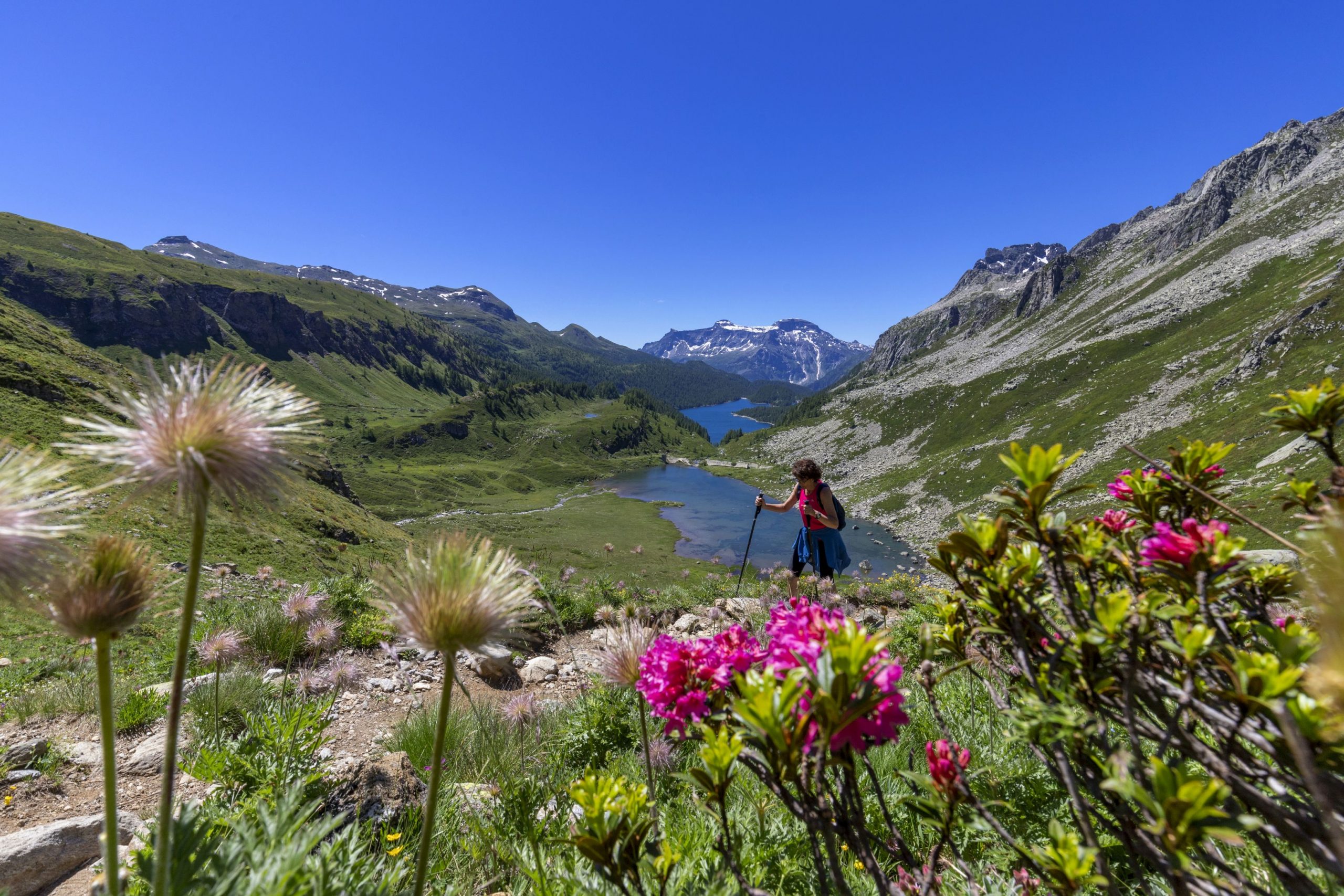
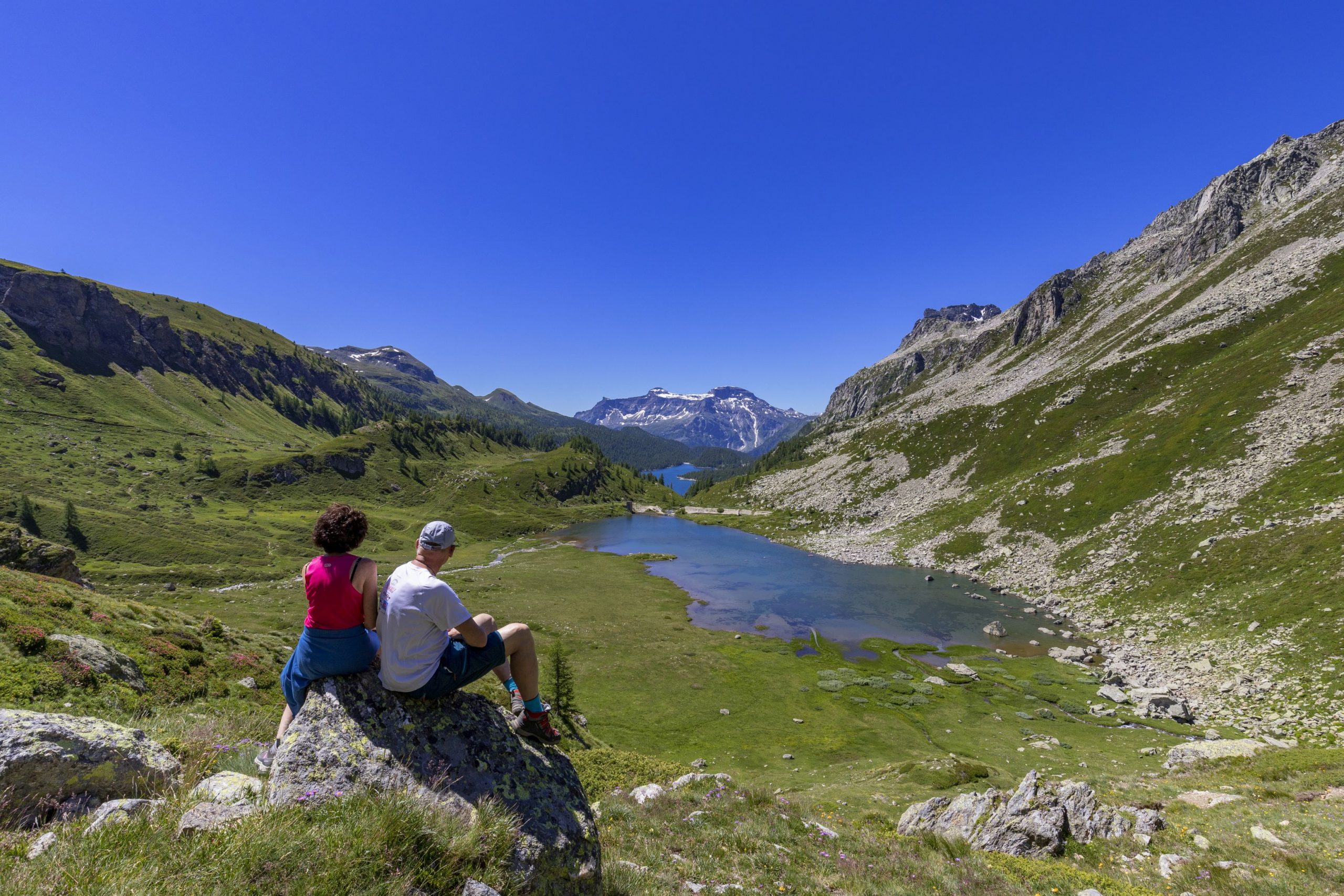
Wheat and wine, silks and spices from the Orient reached the north; salt, cheese, and livestock came down from the south. A dynasty of merchants grew up in Baceno and Croveo and traveled through Alpine Europe, also smuggling salt from the mines of Hall, near Salzburg, bringing it to the market of Ernen via the “transversal route” of the San Giacomo, Scatta Minoia, and Bocchetta d’Arbola Passes. They developed a network of transalpine relationships with the Swiss cantons of Uri and Unterwalden. They crossed the high passes and owned meadows and pastures to feed the herds bought in Switzerland and sold on the Lombardy markets and cellars where to store wine and cheese. The itinerary of the ancient Via dell’Arbola – Via Albrun is one of the Cultural Routes of Regional Interest in Switzerland.
Info and stops: https://www.piemonteoutdoor.it/it/attivita/escursionismo/dellarbola-albrun
Back to the list of routes
DIE ALTE STRASSE VOM OSSOLANO-TAL ZUM BINNTAL
VIA DELL’ARBOLA – VIA ALBRUN
Alpi Veglia-Devero
Route description
Die alte Straße, die vom Ossola-Tal über die Bocchetta d’Arbola oder den Albrunpass (2409 m) ins Binntal und dann auf das Schweizer Festland führte, ist für die Geschichte des Transitverkehrs durch die Alpen sehr wichtig.
Der Arbola ist der niedrigste und einfachste Pass in den Lepontinischen Alpen, der zweithöchste nach dem Sempione im Ossola-Gebirge. Während der Boccareccio-Pass, der Cornera-Pass und der Rossa-Pass durch imposante Felswände gekennzeichnet werden, die den Zugang für Menschen schwierig und für Lasttiere unmöglich machen, ermöglichte der gepflasterte Saumpfad von Arbola den Transit von langen Kolonnen von Lasttieren, die mit Waren beladen waren. Eine große Karawane über die Alpen.
Die Lepontinischen Alpen, unweit des Gotthards, aus denen Flüsse in alle vier Windrichtungen fließen, sind seit jeher ein grundlegender orografischer Knotenpunkt im alpinen Straßennetz: Arbola führt ins Binntal, der Gries ins Hasli und dann ins Oberland, der San-Giacomo-Pass (der „Valdolgia-Berg”) führt nach Airolo und ins Tessin. Die „Antigorio-Straße” nach Baceno, Devero und Arbola (der „untere Pass”, um ihn vom oberen oder „Gletscher”-Pass von Gries zu unterscheiden) war viele Jahrhunderte lang die Haupthandelsader zwischen dem Wallis und der Lombardei. So sehr, dass selbst alte Karten den Arbola als „Pass gegen Lombardei” (Sebastian Munster, 1550) oder „Pass auf Mailand” (Gabriel Walser, 1768) definieren. In den Jahrhunderten des Mittelalters, als die Menschen begannen, die hohen Alpenpässe zu überqueren, um Waren und Ideen auszutauschen, gewannen die Etappen in Baceno und Ernen an Bedeutung. Die Dörfer am Fuße des Passes (Baceno, Binn, Ernen) werden von Historikern als „Passsiedlungen” bezeichnet, in denen sich die Handel und Religion miteinander verbunden waren. Bis zum 13. und 14. Jahrhundert, als die Gondoschlucht am Simplon mit hölzernen Stegen ausgestattet wurde, die mit Ketten am Felsen verankert waren, war der Arbola-Pass das „Tor zur Lombardei”.
Nach Norden zogen Getreide und Wein, Seide und Gewürze aus dem Osten herauf; nach Süden kamen Salz, Käse und Vieh herunter. In Baceno und Croveo wuchsen Kaufmannsdynastien heran, die durch das alpine Europa reisten und auch geschmuggeltes Salz aus den Bergwerken von Hallein bei Salzburg über den „Querweg” des San-Giacomo-Passes, Scatta Minoia und Bocchetta d’Arbola auf den Markt von Ernen brachten. Sie entwickelten ein verzweigtes Netz von Beziehungen über die Alpen, zu den Schweizer Kantonen Uri und Unterwalden. Hohe Pässe wurden überquert, und sie besaßen Wiesen und Weiden, um die in der Schweiz gekauften Herden zu füttern und auf den Märkten der Lombardei zu verkaufen, sowie Keller zur Lagerung von Wein und Käse. Die Route der alten Arbola-Straße – Via Albrun – ist eine der Kulturrouten von regionalem Interesse der Schweiz.
Infos und Etappen: https://www.piemonteoutdoor.it/it/attivita/escursionismo/dellarbola-albrun
Back to the list of routes
L’ANCIENNE ROUTE PARTANT DU FOND DE LA VALLÉE DE L’OSSOLA À LA VALLÉE DE BINN
SENTIER DE L’ARBOLA – SENTIER ALBRUN
Alpi Veglia-Devero
Route description
L’ancienne route qui menait du fond de la vallée de l’Ossola par la Bocchetta (embouchure) d’Arbola ou Albrunpass (2 409 m) à la vallée de Binn pour parvenir ensuite à l’intérieur de la Suisse est très importante pour l’histoire du transit à travers les Alpes.
L’Arbola est le col le plus bas et le plus facile des Alpes Lépontines, le deuxième après le col du Simplon dans les montagnes de l’Ossola. Tandis que le col de Boccareccio, et ceux de Cornera et de la Rossa sont rendus difficiles par d’imposants remparts rocheux qui rendent l’accès difficile aux hommes et impossible aux bêtes de somme, le sentier muletier pavé de l’Arbola permettait le transit de longues colonnes de bêtes de somme chargées de marchandises. Un grand chemin de caravanes à travers les Alpes.
Les Alpes Lépontines, non loin du Gothard, d’où naissent les fleuves et rivières qui coulent dans le sens des quatre vents, ont toujours été un carrefour orographique fondamental du réseau routier alpin : l’Arbola mène à la Binntal, le Gries au Hasli et donc en Oberland, le col de San Giacomo (la « montagne de Valdolgia ») à Airolo et au Tessin. La « route d’Antigorio » pour Baceno, le Devero et l’Arbola (le « col inférieur » pour le distinguer du col supérieur ou « du glacier » constitué par le Gries) fut pendant de nombreux siècles la principale artère commerciale entre le Valais et la Lombardie. À tel point que même les cartes anciennes définissent l’Arbola comme étant le « col vers la Lombardie » (Pass gegen Lombardy, Sebastian Munster, 1550) ou comme étant le « col pour Milan » (Pass auf Mailand, Gabriel Walser, 1768).Au Moyen Âge, lorsque les hommes commencèrent à traverser les hauts cols alpins pour échanger des marchandises et des idées, les arrêts à Baceno et Ernen prirent de l’importance. Les villages au pied du col (Baceno, Binn, Ernen) sont considérés par les historiens comme des « implantations humaines de col » dans lesquelles la fonction mercantile se conjugue à celle pastorale. Le col d’Arbola fut la « porte de la Lombardie » jusqu’aux XIIIe et XIVe siècles, lorsque les gorges de Gondo sur le Simplon furent équipées de passerelles en bois fixées à la roche avec des chaînes.
Le blé et le vin, les soies et les épices provenant de l’Orient remontaient au nord ; le sel, le fromage et le bétail descendaient au sud. À Baceno et Croveo, des dynasties de marchands se développèrent et traversèrent l’Europe alpine, en faisant de la contrebande de sel provenant des mines de Hall, près de Salzbourg, jusqu’au marché d’Ernen par la « route transversale » du col de San Giacomo, Scatta Minoia et Bocchetta d’Arbola. Ils développèrent un réseau ramifié de relations transalpines avec les cantons suisses d’Uri et d’Unterwalden. Ils traversaient les hauts cols et possédaient des prairies et des pâturages, pour nourrir les troupeaux achetés en Suisse et vendus sur les marchés lombards, ainsi que des caves pour stocker le vin et le fromage. L’itinéraire de l’ancien Sentier de l’Arbola – Sentier Albrun est l’un des itinéraires culturels d’intérêt régional de la Suisse.
Infos et étapes : https://www.piemonteoutdoor.it/it/attivita/escursionismo/dellarbola-albrun
Back to the list of routes
L’antica strada che inzia dal fondovalle ossolano fino alla valle di Binn
VIA DELL’ ARBOLA – VIA ALBRUN
Alpi Veglia-Devero
Route description
L’antica strada che, attraverso la Bocchetta d’Arbola o Albrunpass (2409 m), conduceva dal fondovalle ossolano alla valle di Binn e quindi alla Svizzera interna è molto importante per la storia dei transiti attraverso le Alpi.
L’Arbola è il valico più basso e agevole delle Alpi Lepontine, secondo solo al Sempione sui monti dell’Ossola. Mentre il Passo di Boccareccio, quello di Cornera e della Rossa sono resi difficoltosi da imponenti bastionate di roccia che ne rendono difficoltoso l’accesso agli uomini e impossibile agli animali da soma, la mulattiera selciata dell’Arbola permetteva il transito alle lunghe colonne di animali da soma carichi di merci. Una grande carovaniera attraverso le Alpi.
Le Alpi Lepontine, poco discoste da quel Gottardo da cui nascono fiumi che scendono nelle direzioni dei quattro venti, furono sempre un nodo orografico fondamentale nella viabilità alpina: l’Arbola porta nella Binntal, il Gries porta nell’Hasli e quindi in Oberland, il Passo San Giacomo (la “montagna di Valdolgia”) porta ad Airolo e in Ticino. La “strada d’Antigorio” per Baceno, il Devero e l’Arbola (il “passo inferiore” per distinguerlo da quello superiore o “del ghiacciaio” costituito dal Gries) fu per molti secoli la principale arteria commerciale tra il Vallese e la Lombardia. Tanto che anche la antiche carte definiscono l’Arbola come “passo verso la Lombardia (Pass gegen Lombardy, Sebastian Munster, 1550) oppure “passo per Milano” (Pass auf Mailand, Gabriel Walser, 1768). Nei secoli del Medioevo, quando gli uomini iniziarono a percorrere gli alti valichi alpini per scambiare merci e idee, le soste di Baceno ed Ernen crebbero di importanza. I villaggi ai piedi del valico (Baceno, Binn, Ernen) vengono considerati dagli storici come “insediamenti di passo” in cui la funzione mercantile si abbinava a quella pastorale. Fino al XIII e XIV secolo, quando le gole di Gondo sul Sempione furono attrezzate con passerelle di legno ancorate con catene alla roccia, il Passo d’Arbola fu la “porta della Lombardia”.
A nord salivano grano e vino, sete e spezie provenienti dall’Oriente; a sud scendevano sale, formaggi e bestiame. A Baceno e Croveo crebbero dinastie di mercanti che percorsero l’Europa alpina portando anche il sale di contrabbando dalle miniere di Hall, vicino a Salisburgo, al mercato di Ernen attraverso la “via trasversale” del Passo San Giacomo, Scatta Minoia e Bocchetta d’Arbola. Essi svilupparono una ramificata rete di relazioni transalpine con i cantoni svizzeri di Uri e Unterwalden. Percorrevano gli alti valichi e possedevano prati e pascoli per l’alimentazione delle mandrie acquistate in Svizzera e da vendersi sui mercati lombardi e cantine dove conservare vino e formaggi. L’itinerario dell’antica via dell’Arbola – Via Albrun è uno degli Itinerari Culturali di interesse regionale della Svizzera.
Info e tappe: https://www.piemonteoutdoor.it/it/attivita/escursionismo/dellarbola-albrun
Back to the list of routes

