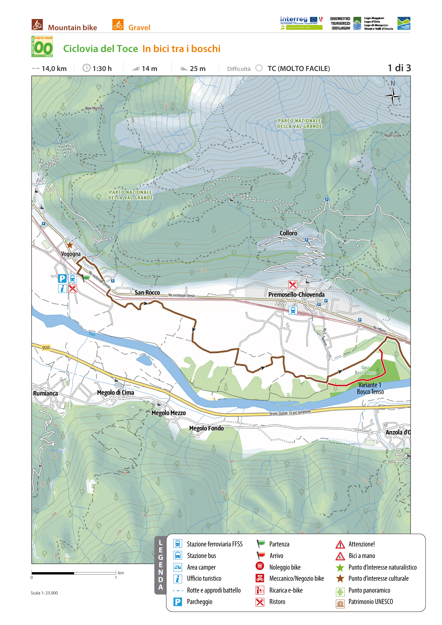
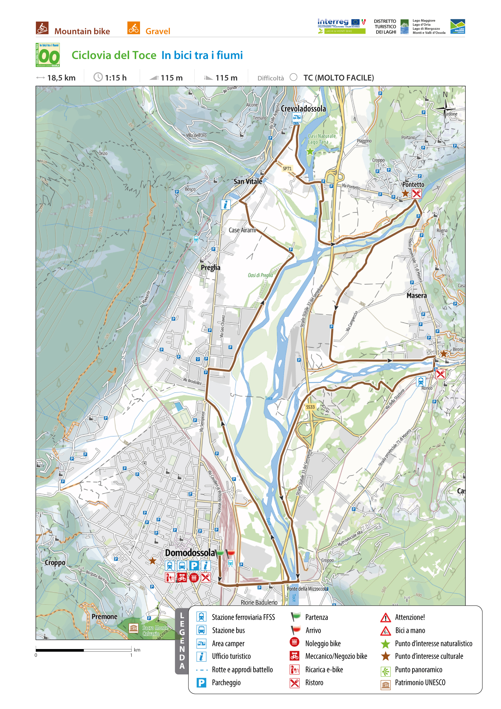
TOCE CYCLE ROUTE
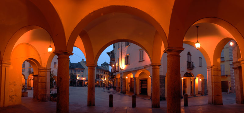
Domodossola e dintorni
Route description
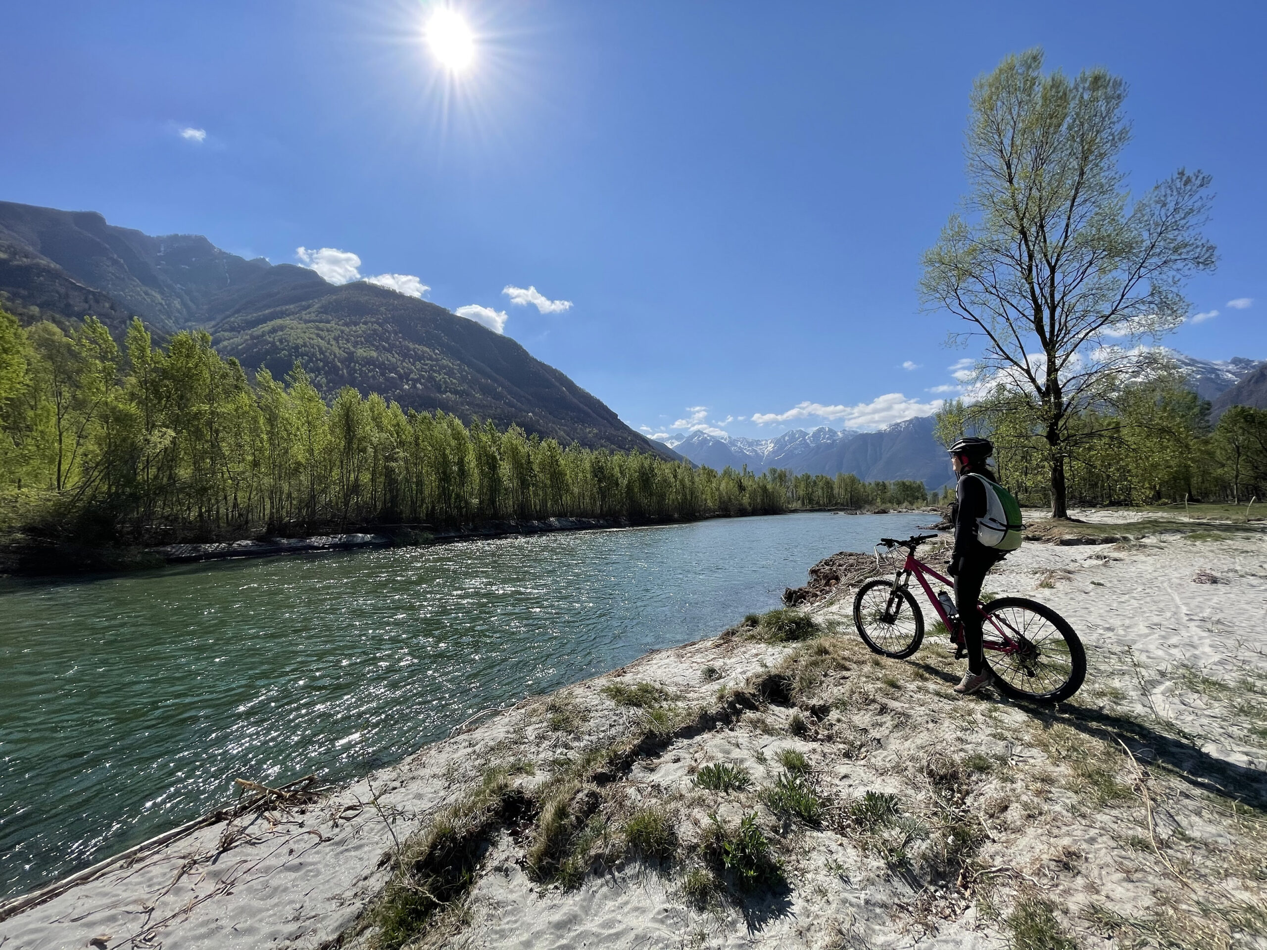
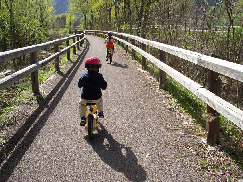
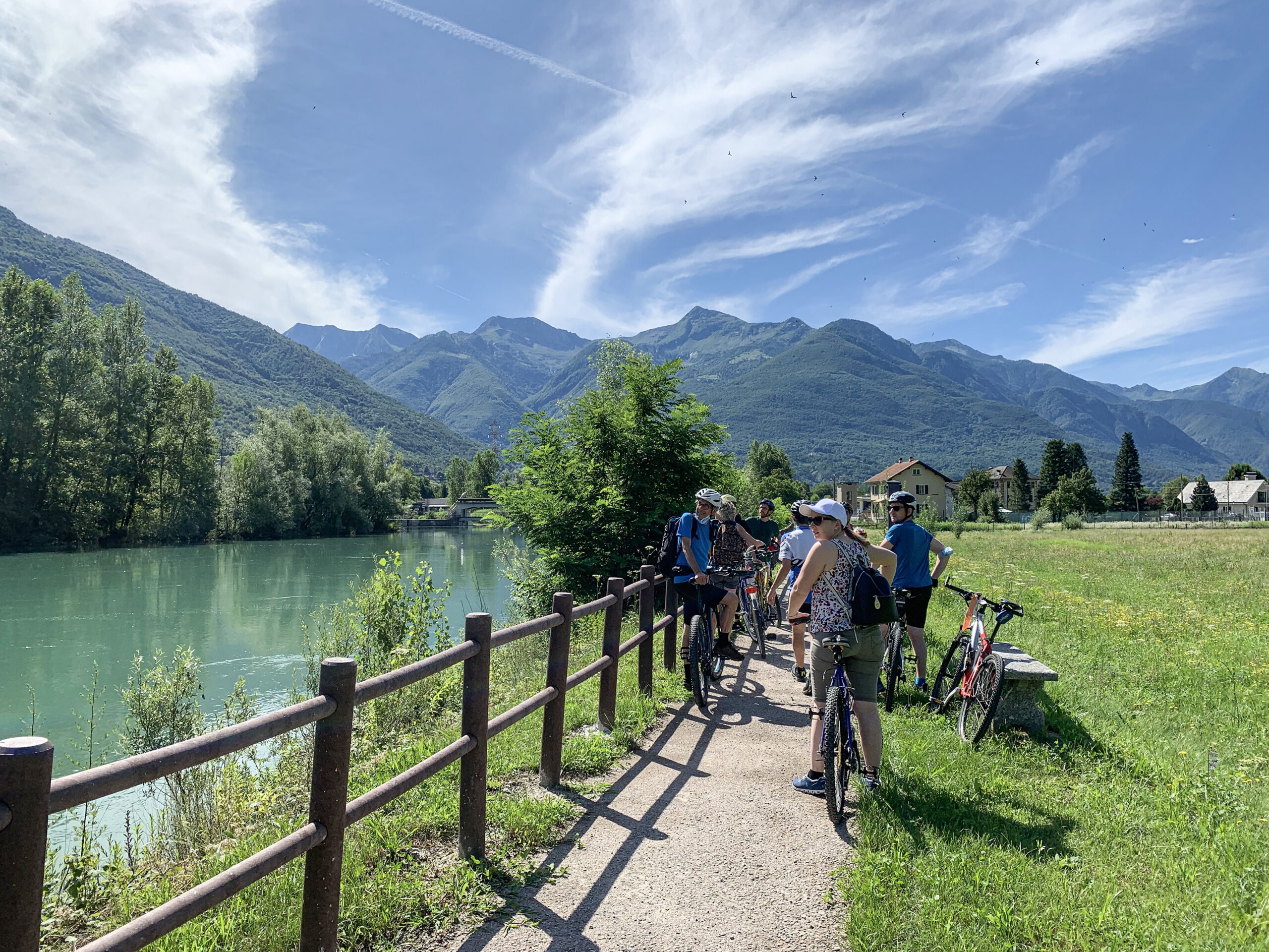
The Toce Cycle Route “Ciclovia del Toce” is a splendid itinerary that runs along the banks of the River Toce to Lake Maggiore.
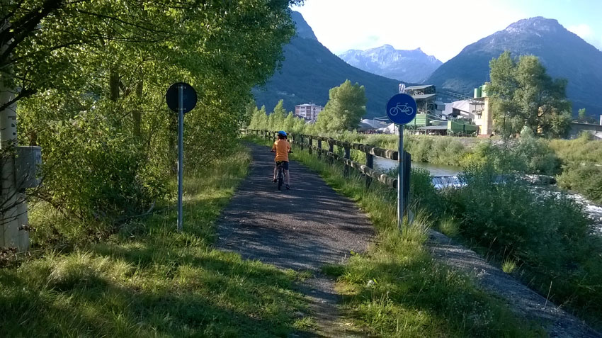
The route starts from the railway station of Domodossola and follows cycle paths, agricultural roads, secondary paved roads and sections on ordinary road, and crossing the valley floor of Ossola to the Fondo Toce Nature Reserve it ends at the railway station of Verbania – Pallanza.
The Toce Cycle Route coincides in part with the itinerary “La Via del Mare” declared by Regione Piemonte “route of regional interest”, which starts from Domodossola and ends in Imperia, crossing from north to south all the Piedmont.
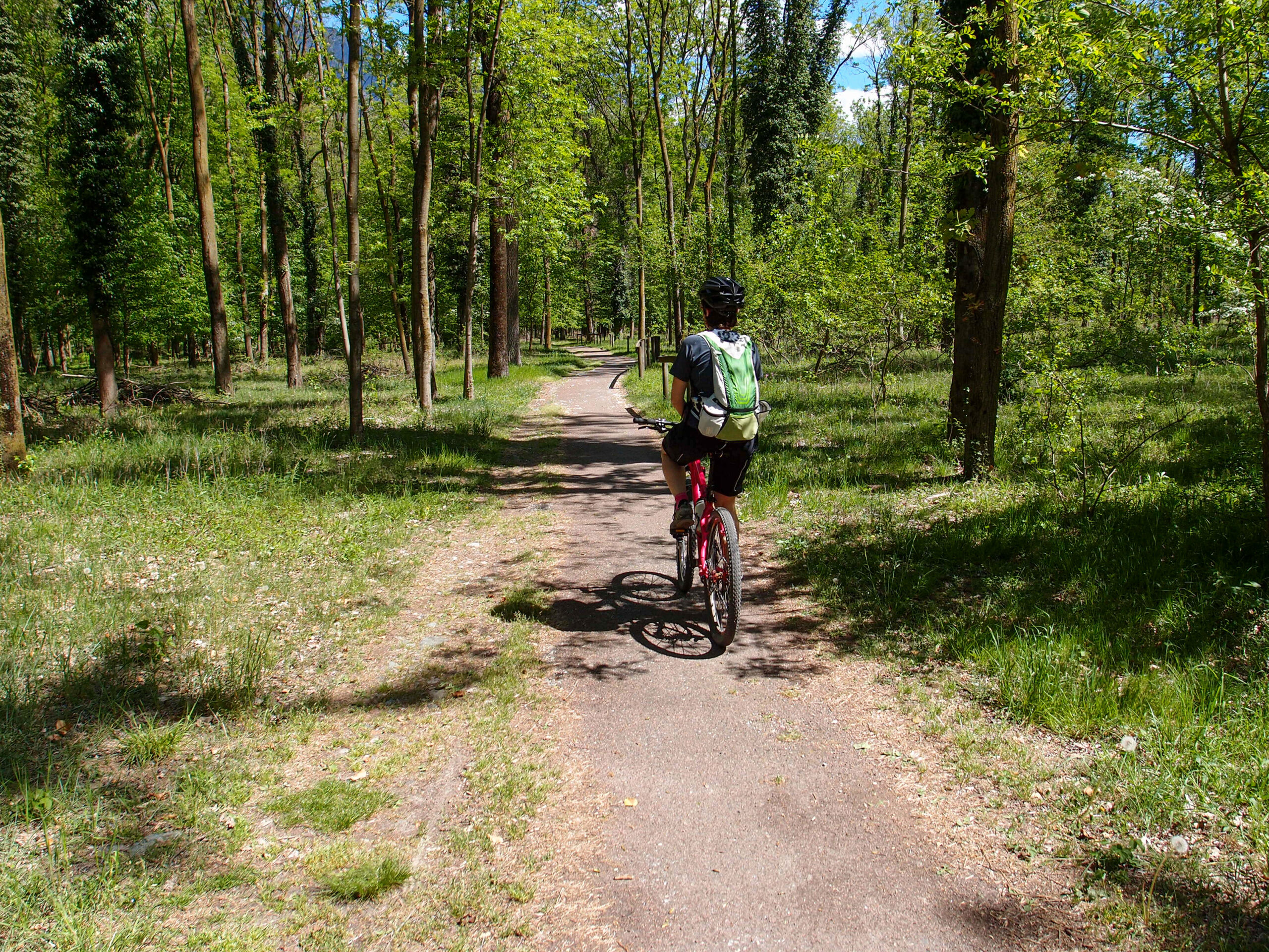
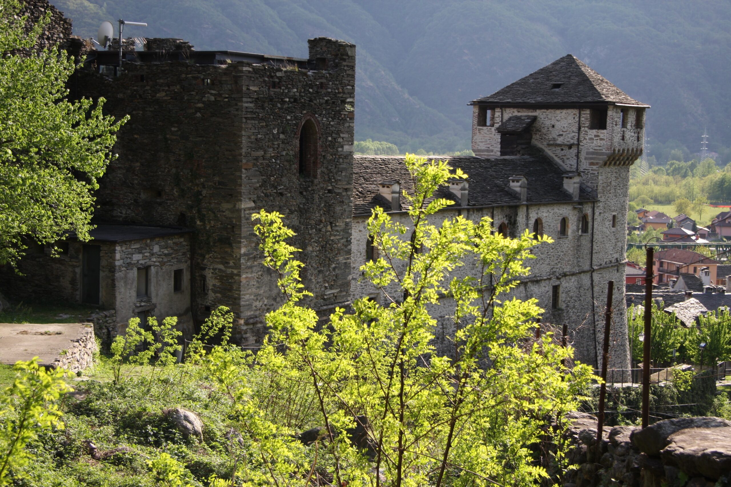
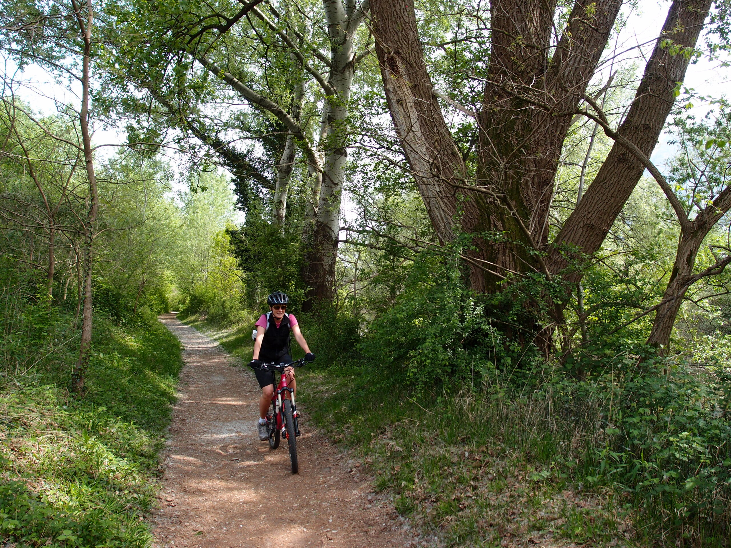
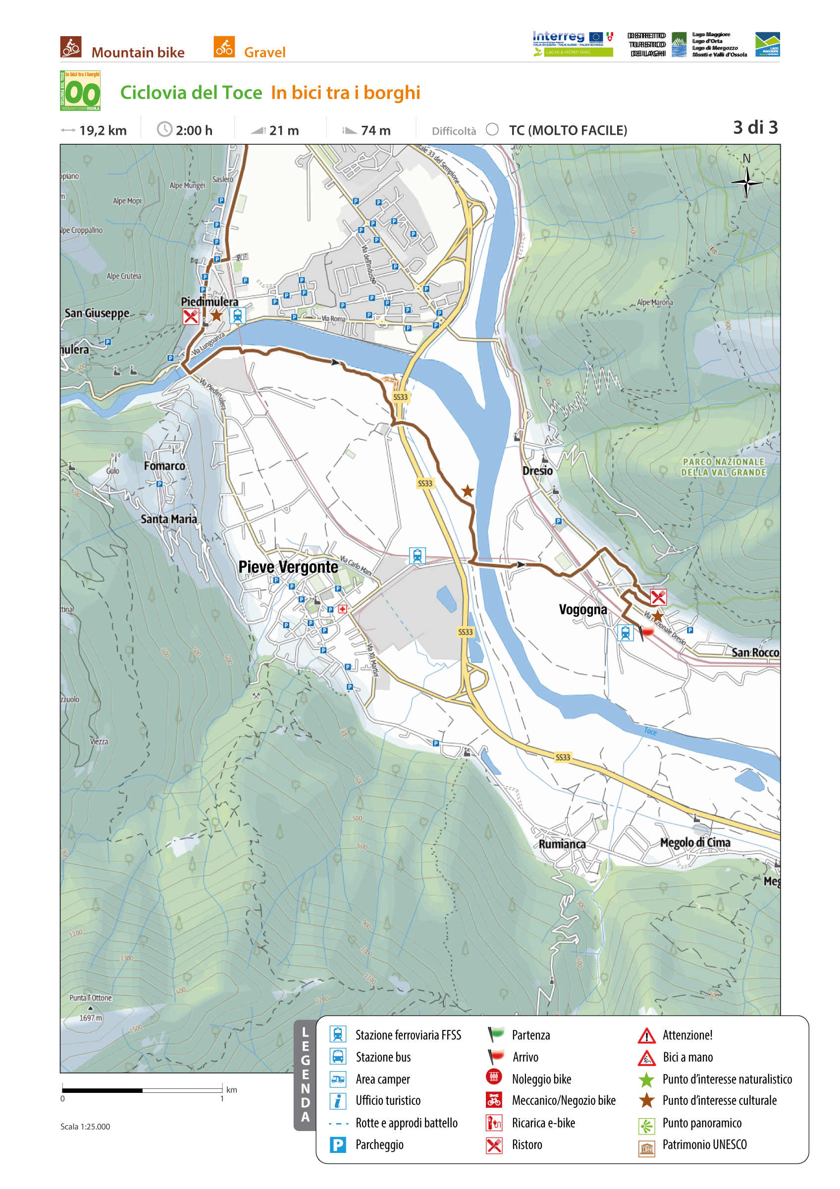
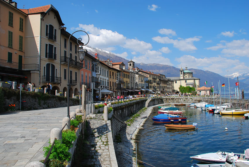
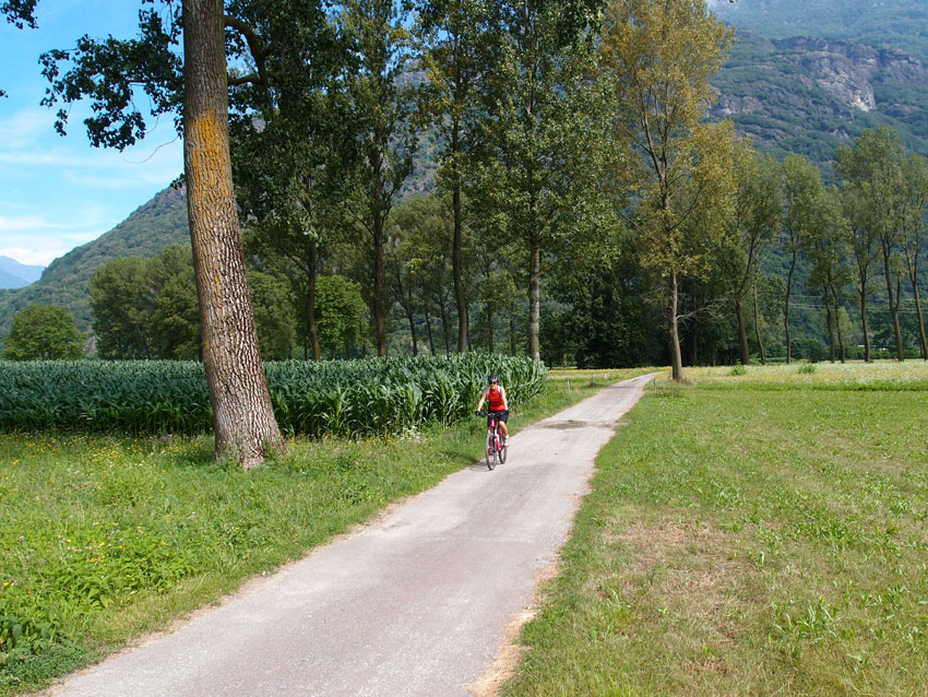
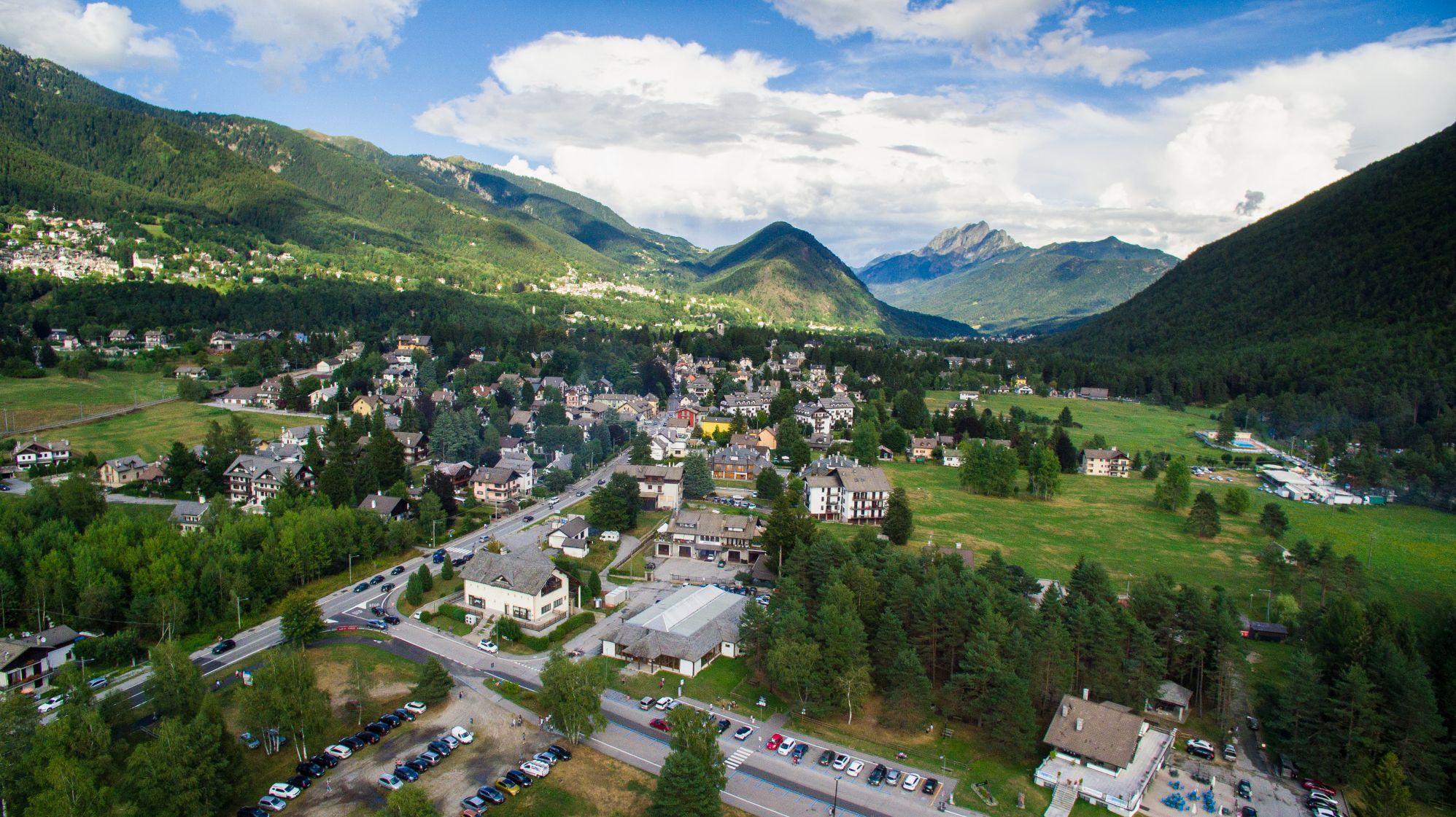
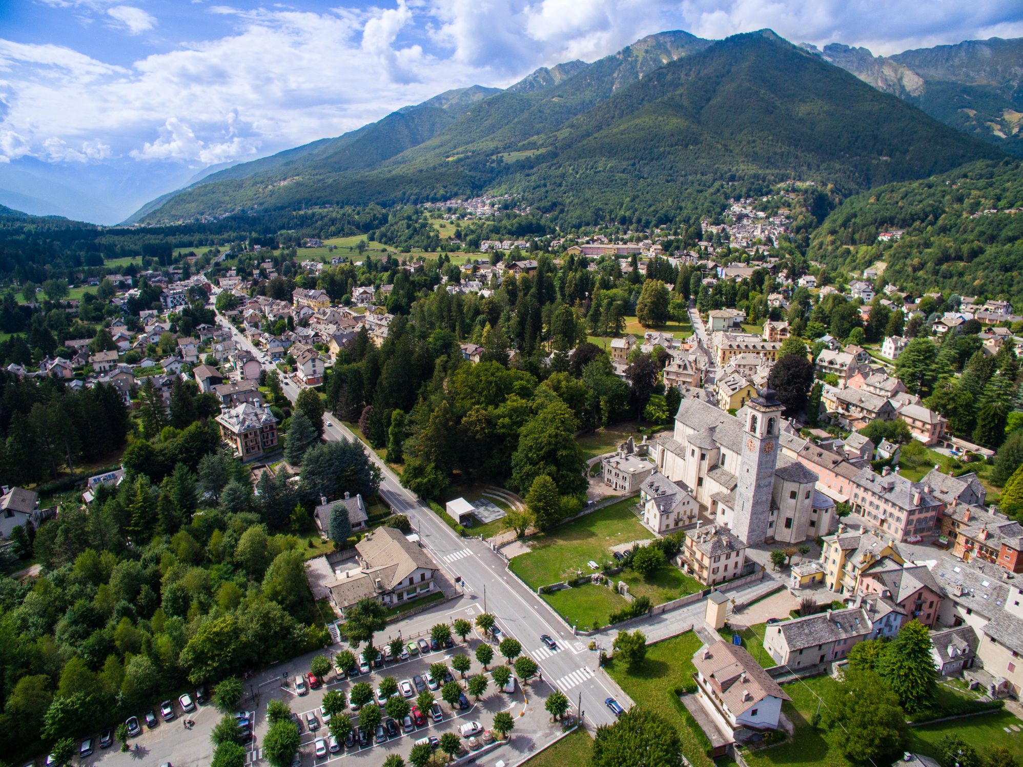
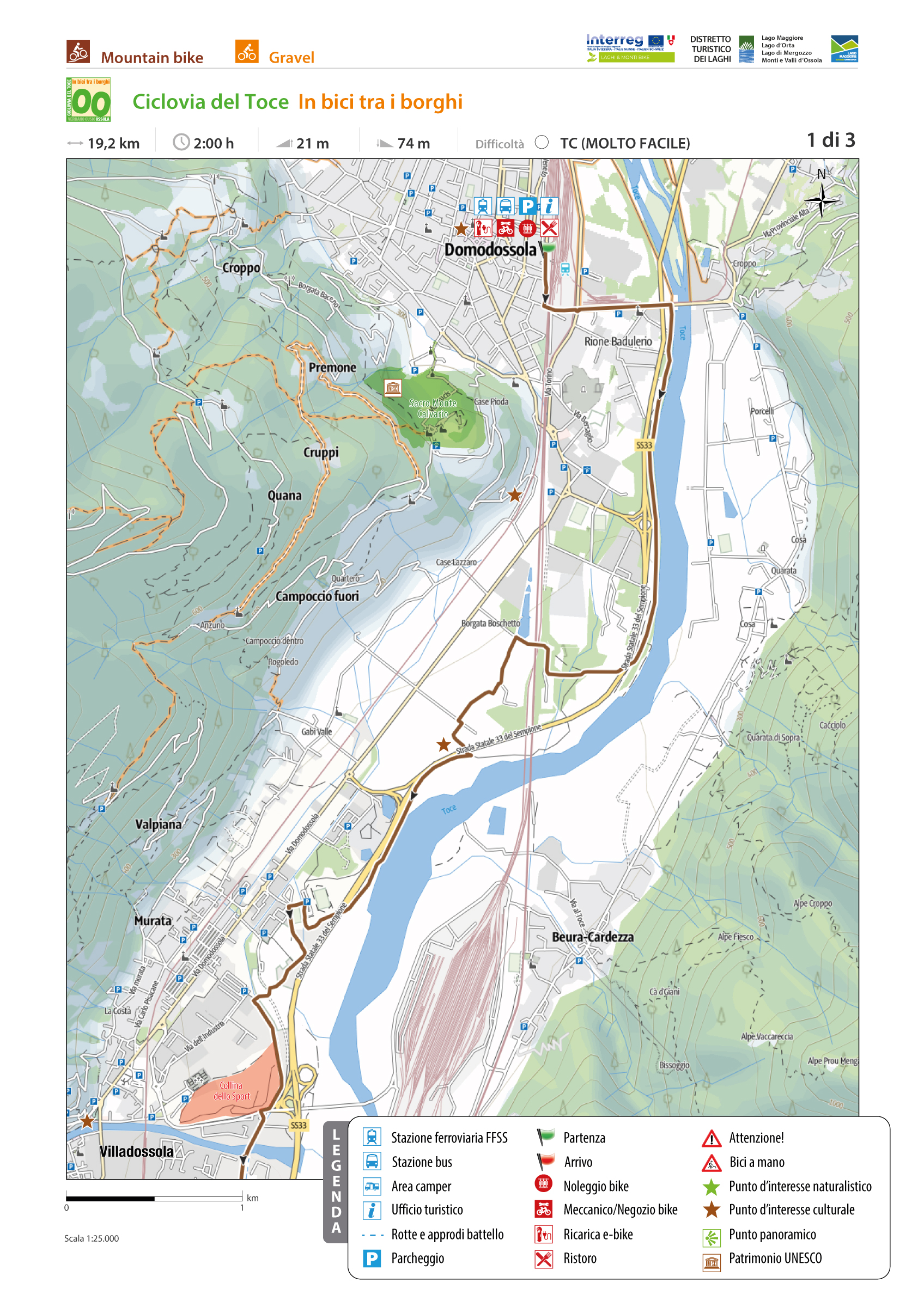
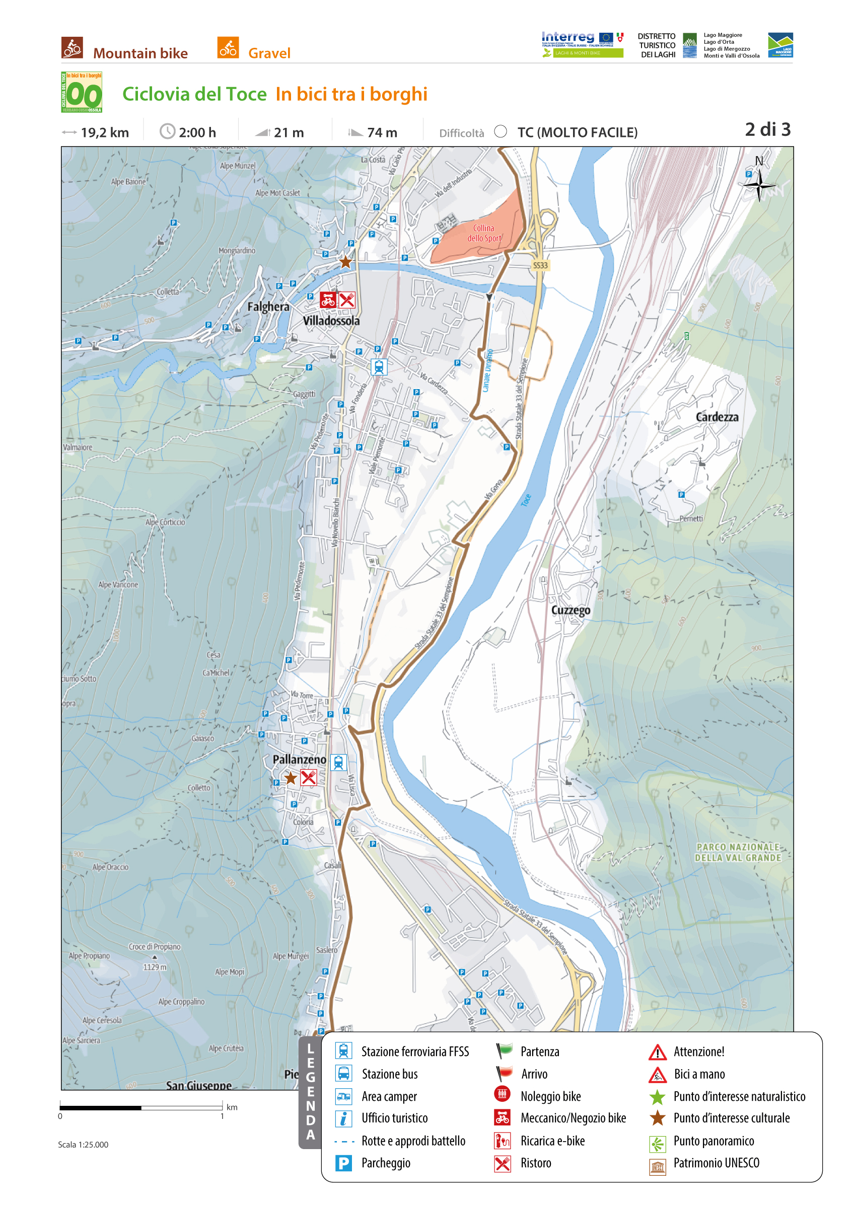
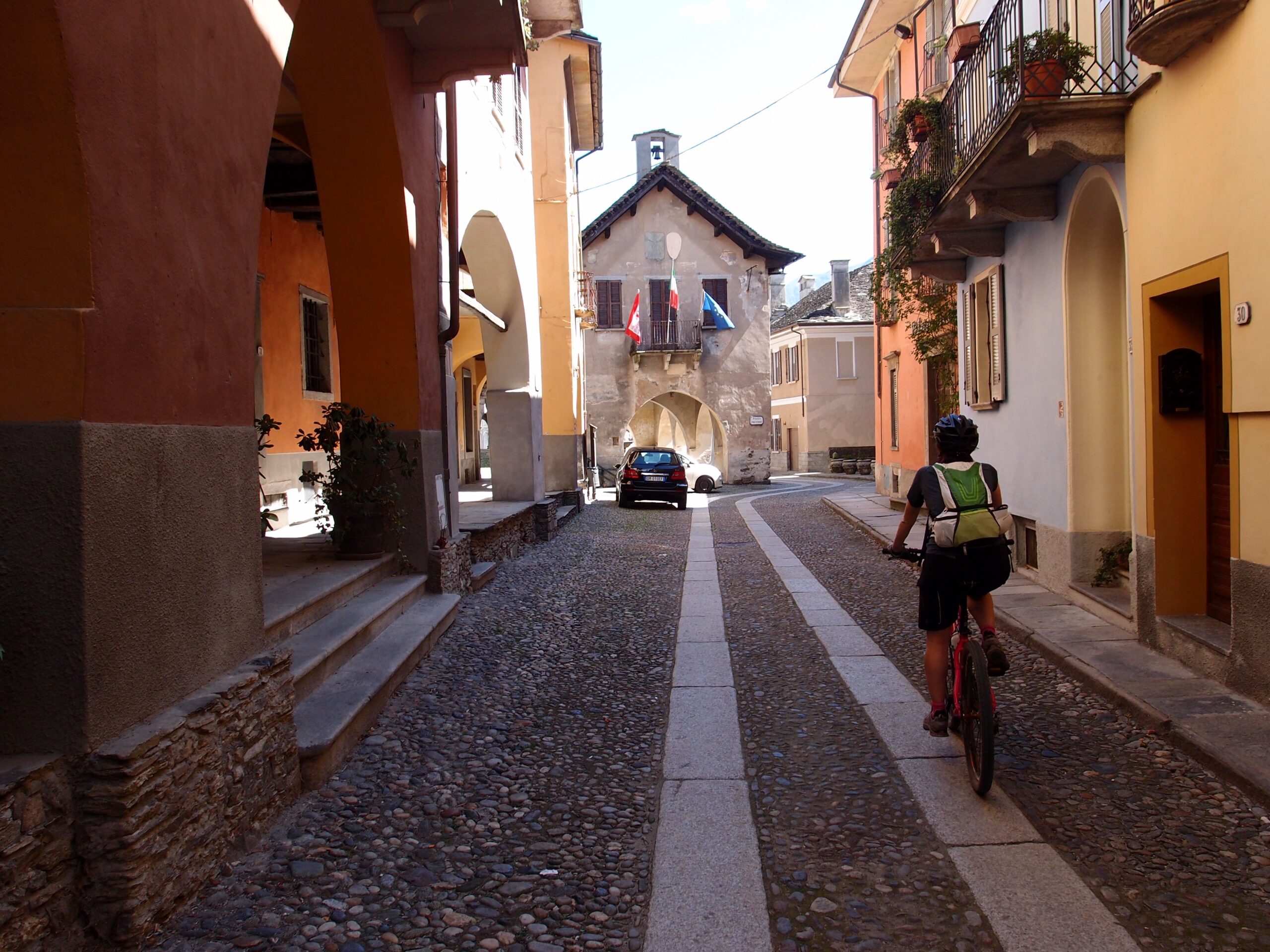
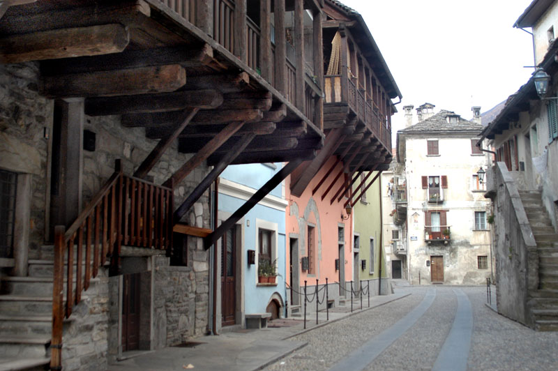
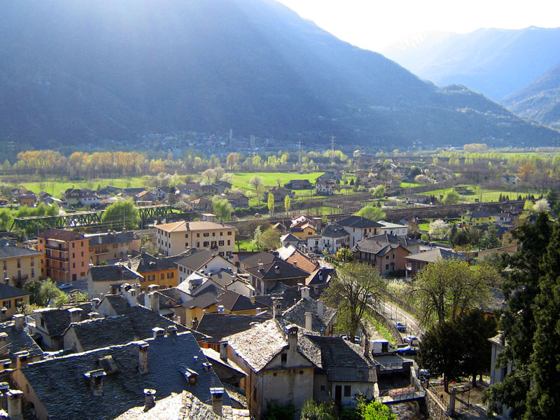
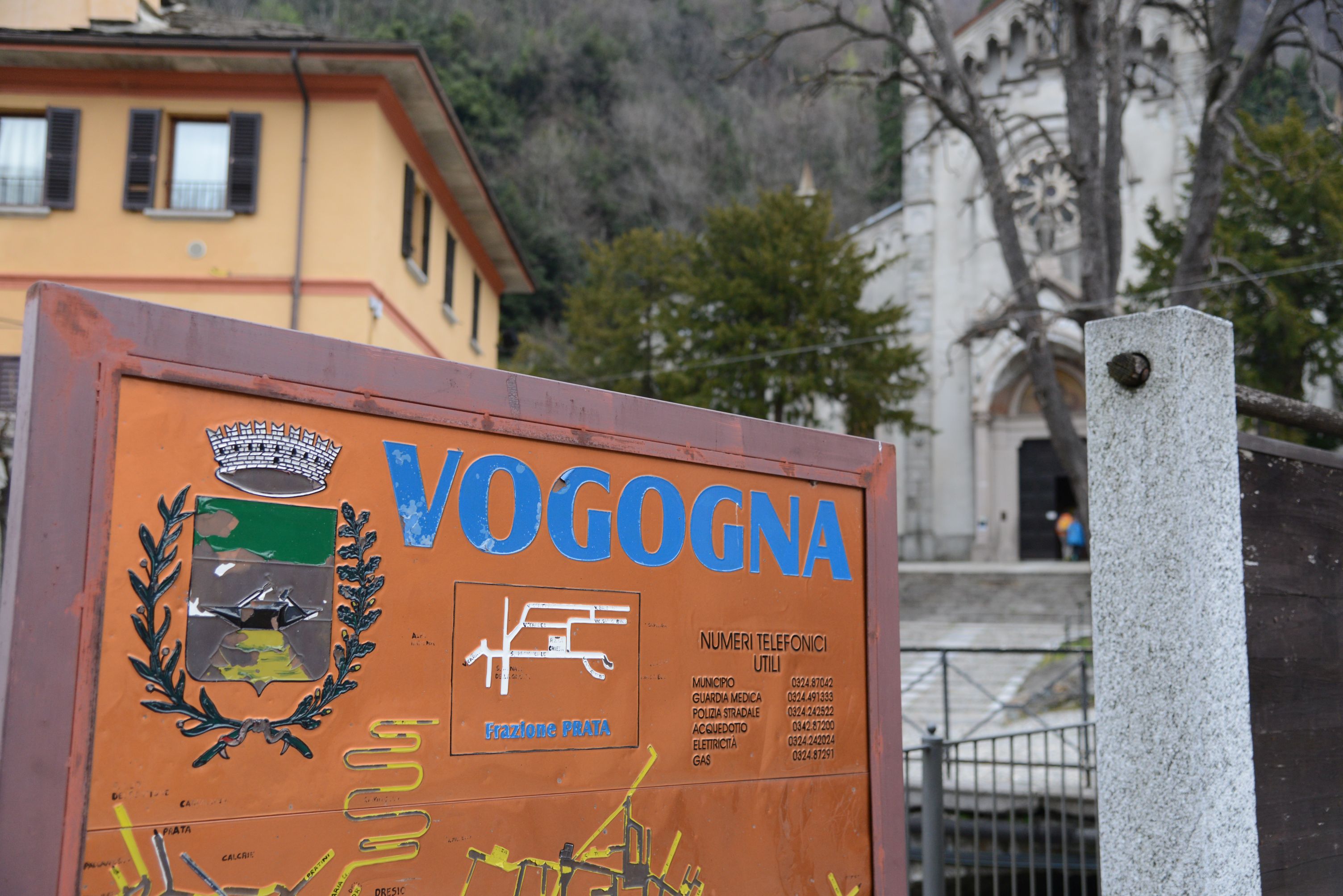
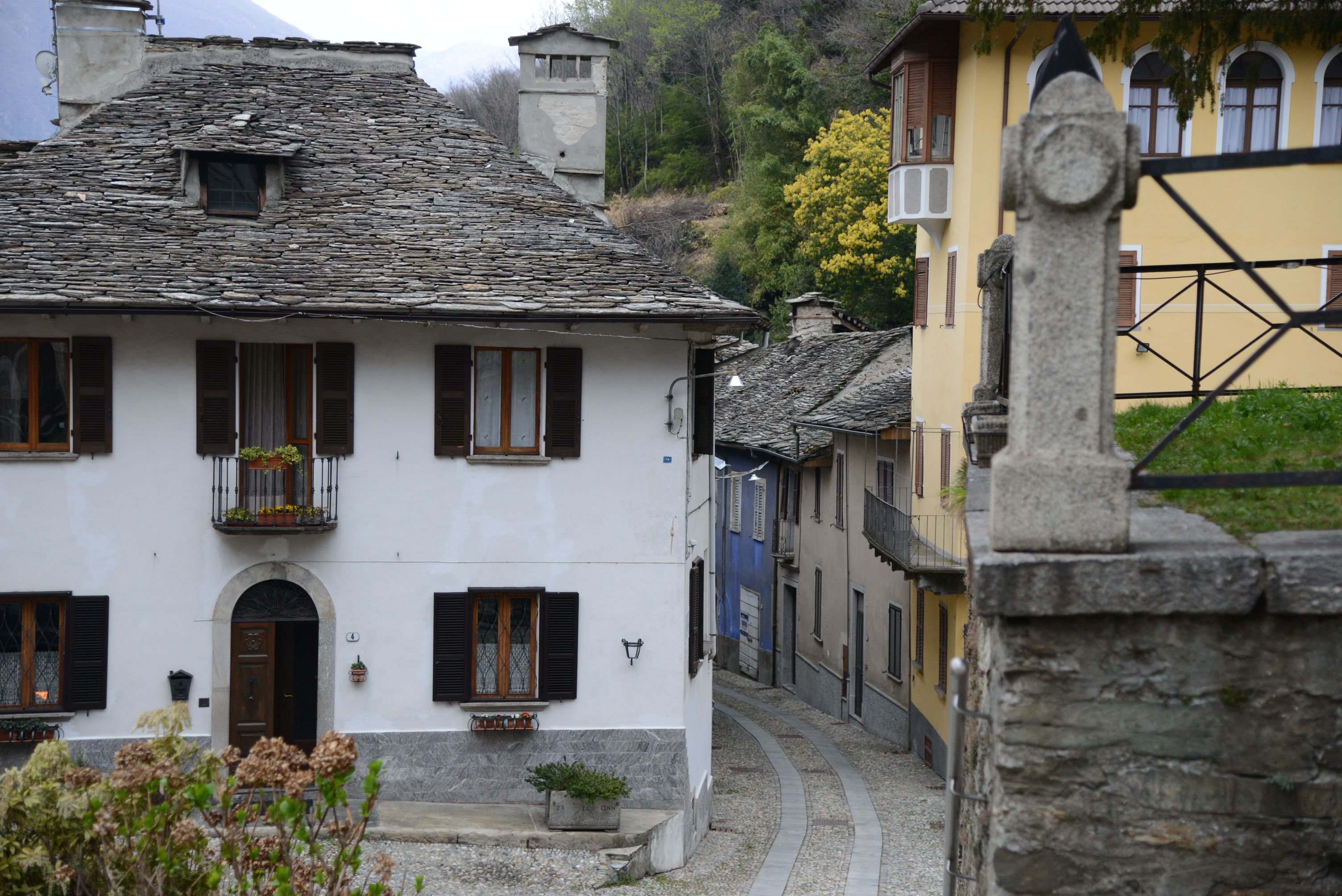
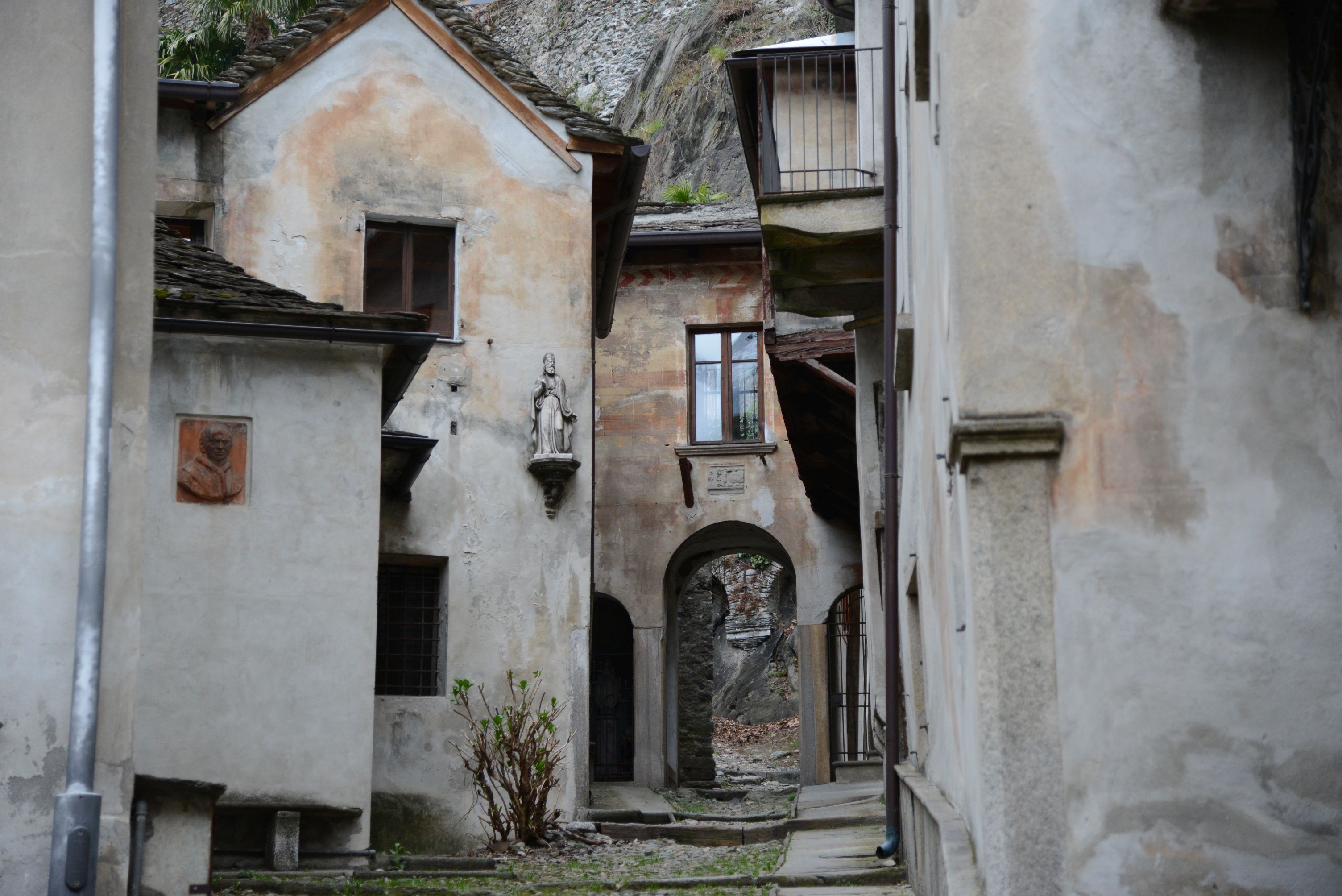
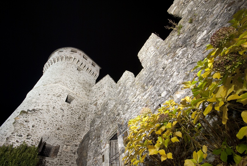
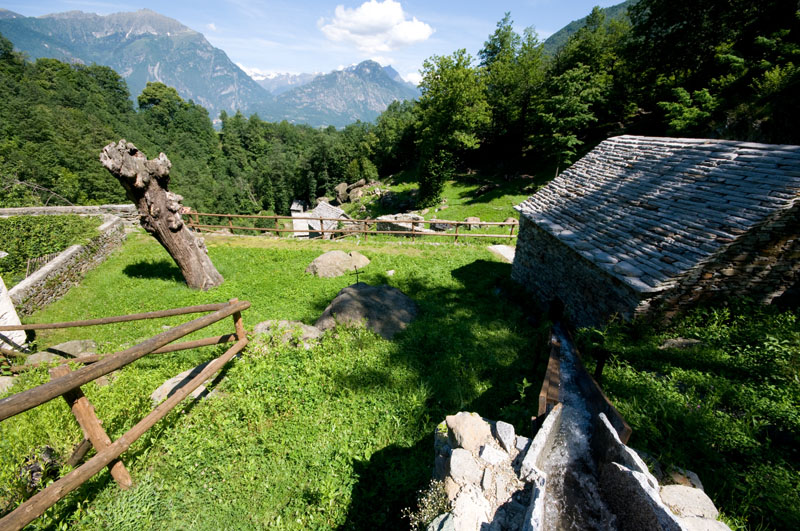
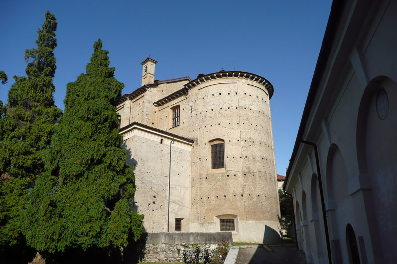
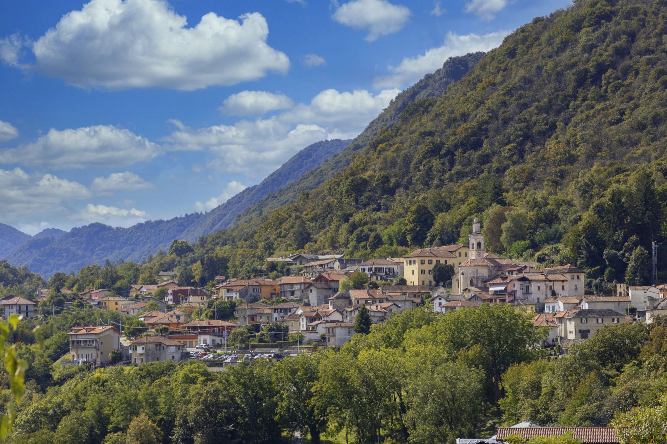
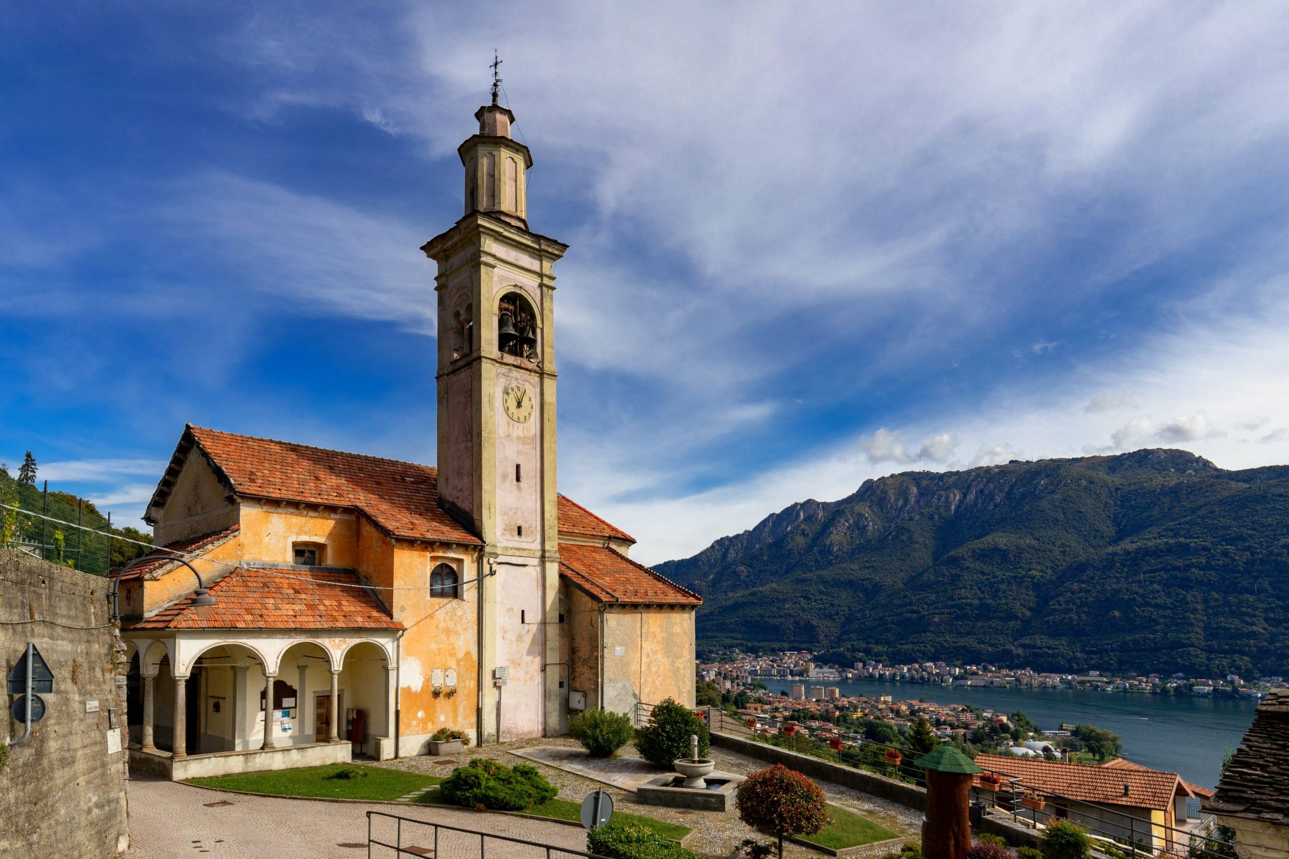
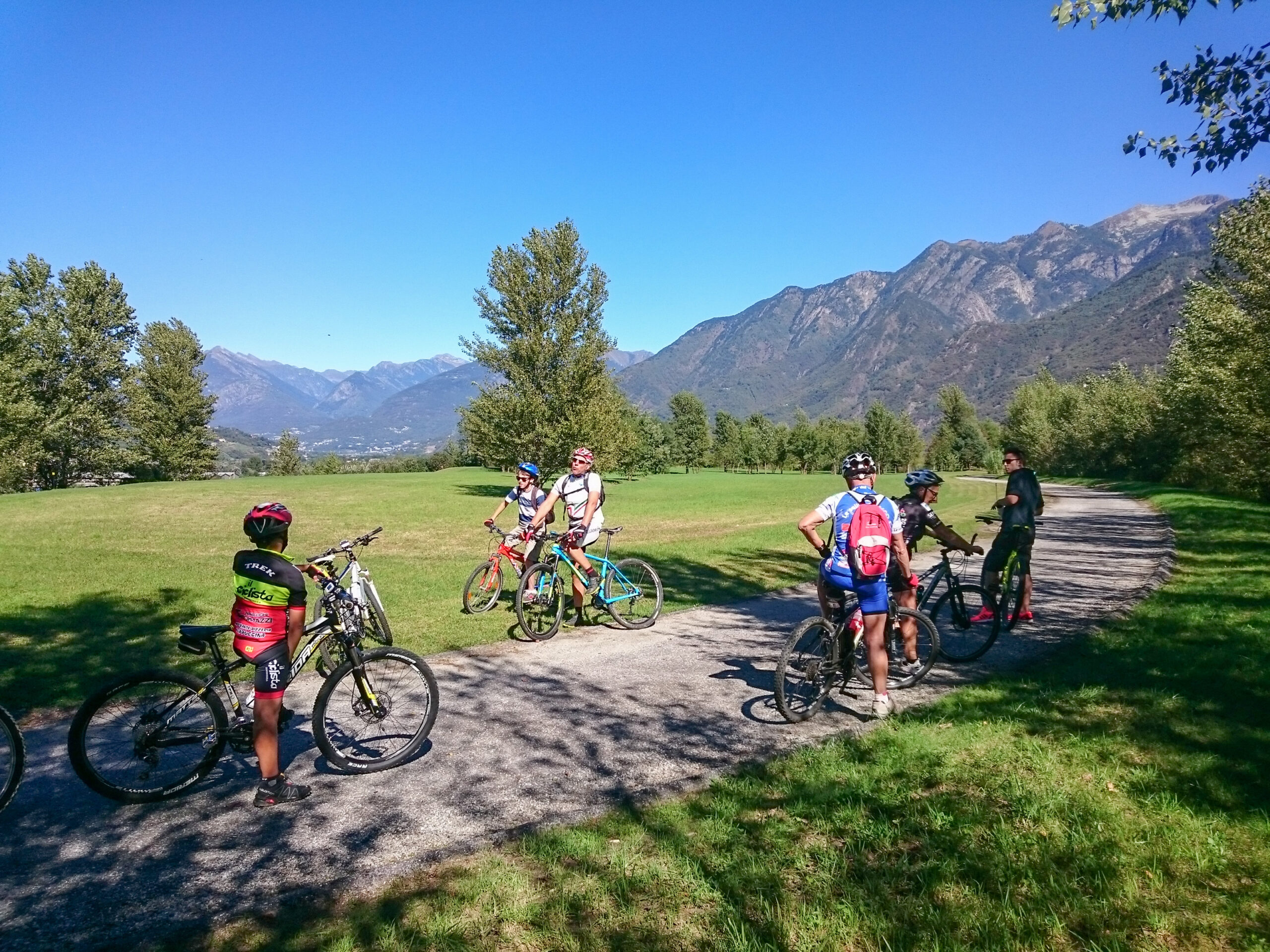
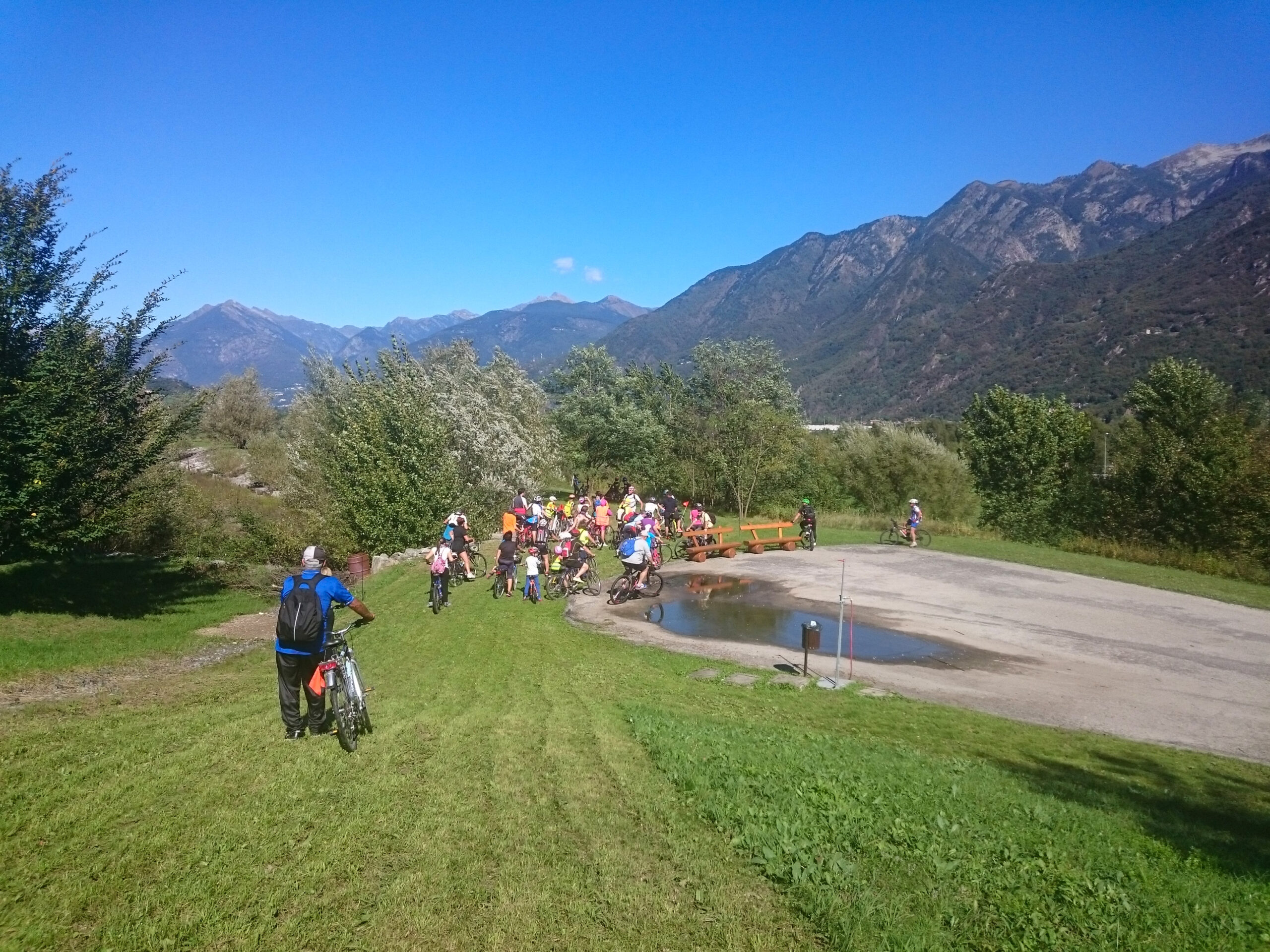
The route starts from the station of Domodossola, Borgo della Cultura, and after a first stretch on ordinary road, near the bridge of Mizzoccola enters the cycle path that runs along the right bank of the Toce River. Crossing thickets and clearings, in Villadossola the route goes around the Hill of Sport. After some sections on ordinary roads, you return to the bike path until the sports field of Pallanzeno. Returning to ordinary roads and then again on bike path you reach Piedimulera, through the historic center surmounted by the majestic Torre Ferrerio. Continuing towards Pieve Vergonte, first on ordinary roads then on a cycle path, you continue to the sports field of Vogogna. Returning to ordinary road you reach the heart of the historic center of the medieval village of Vogogna, awarded the recognition of “Most beautiful villages in Italy and Orange flags”, where you can admire the historic Palazzo Pretorio, the Visconti Castle and the Church of the Sacred Heart of Jesus in neo-Gothic style. Here it ends the first stretch of the Ciclovia del Toce, defined “by bike between the villages”.
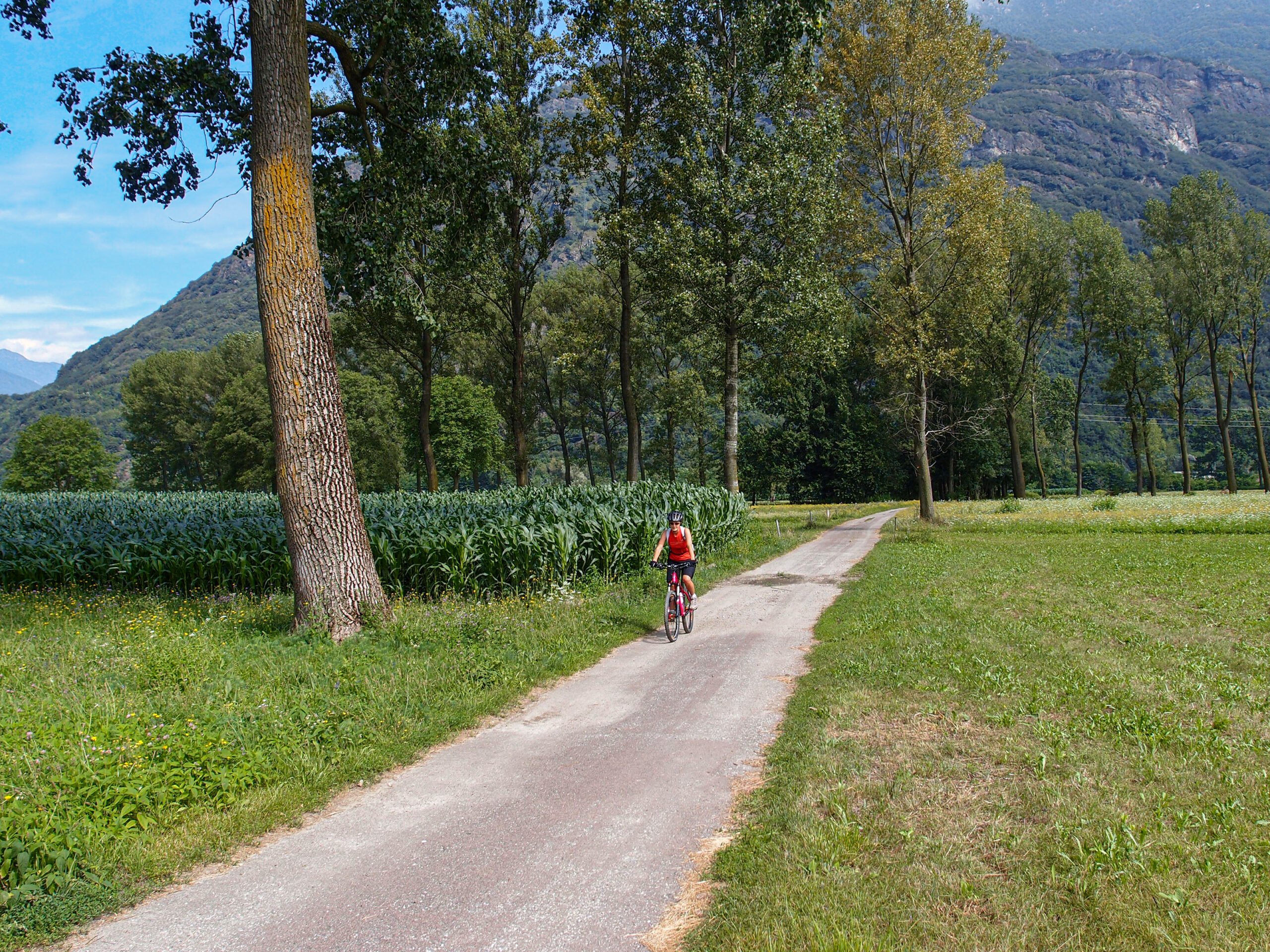
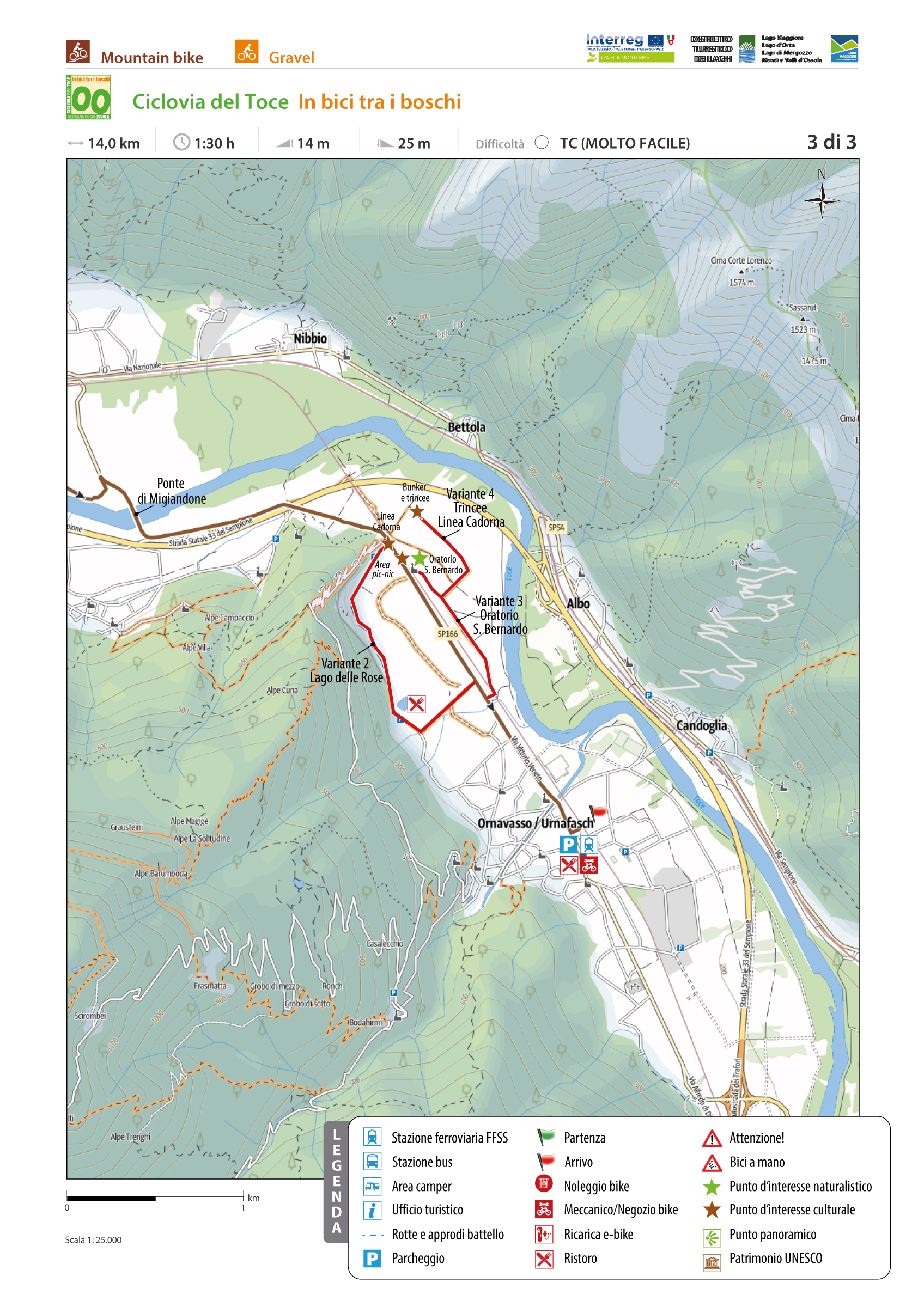
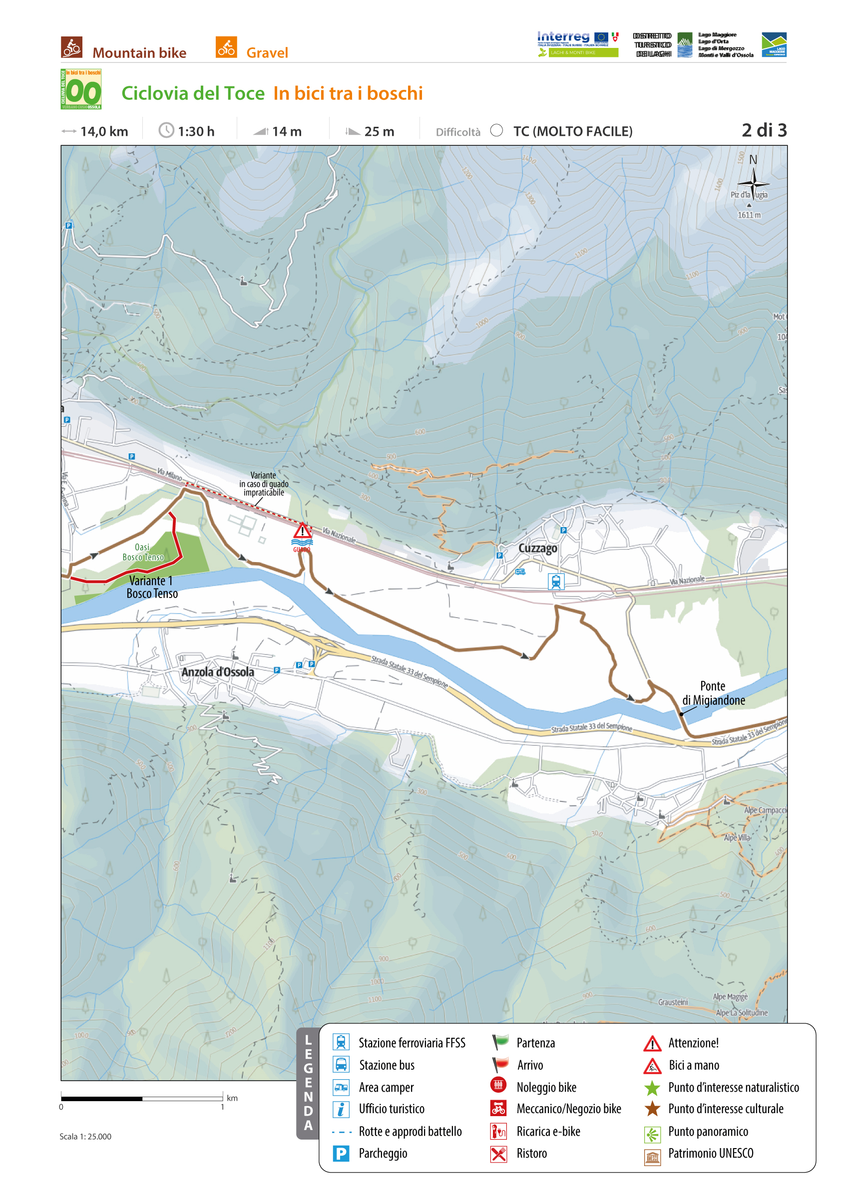
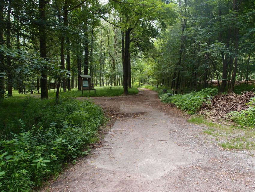
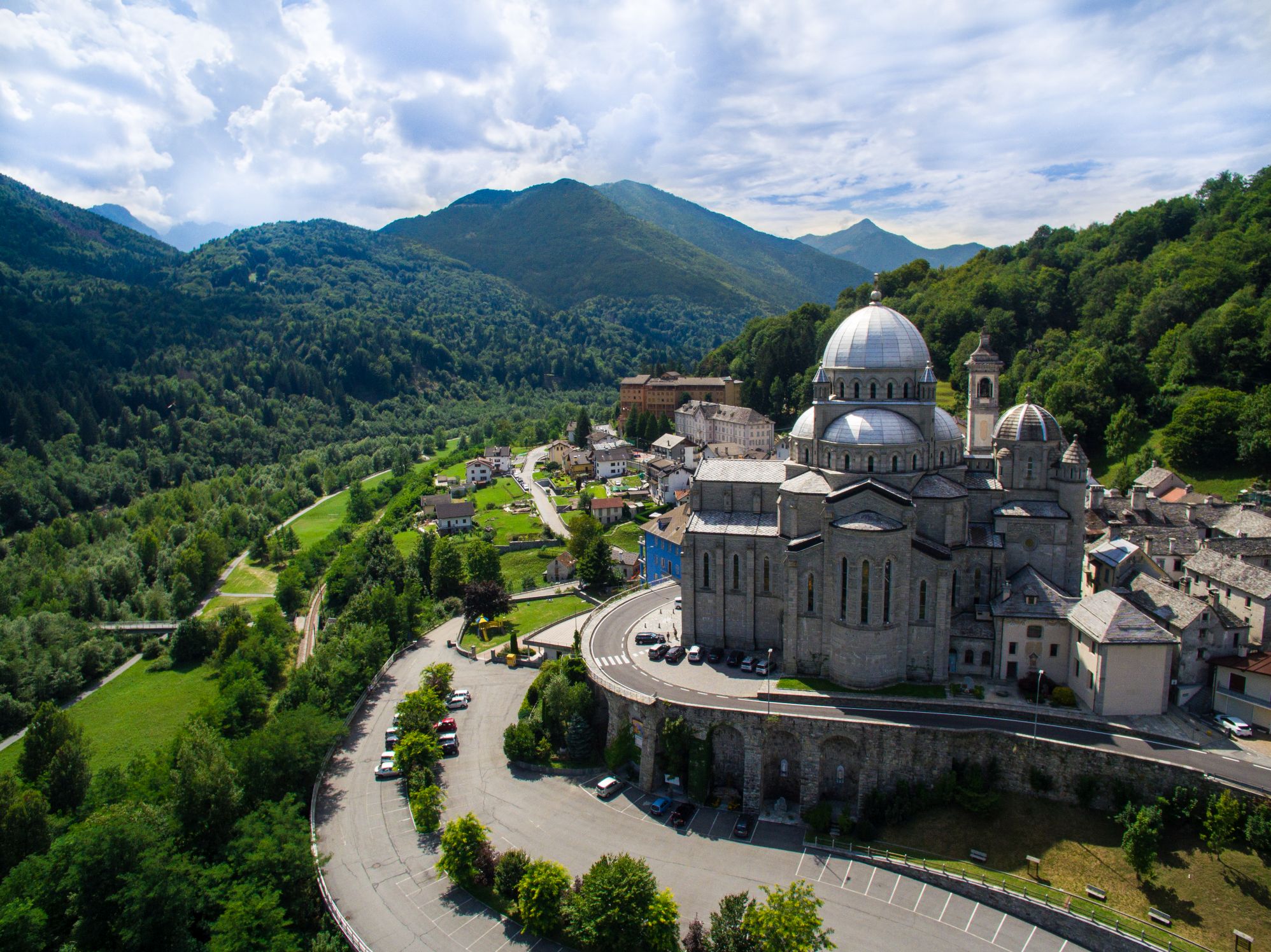
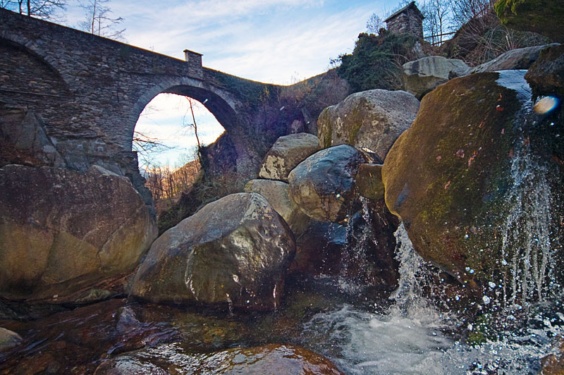
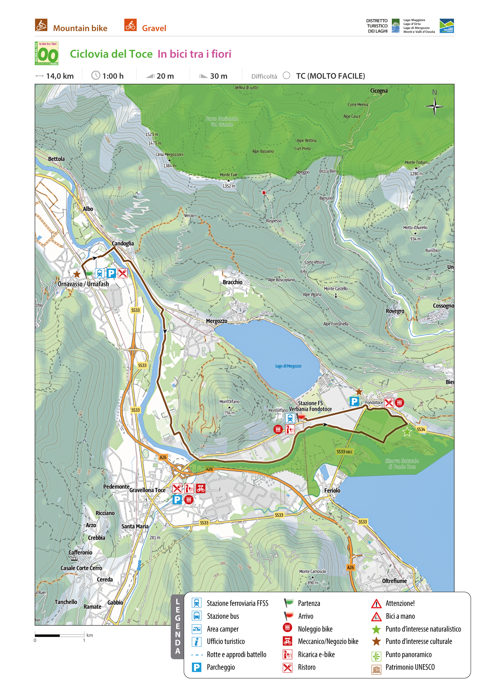
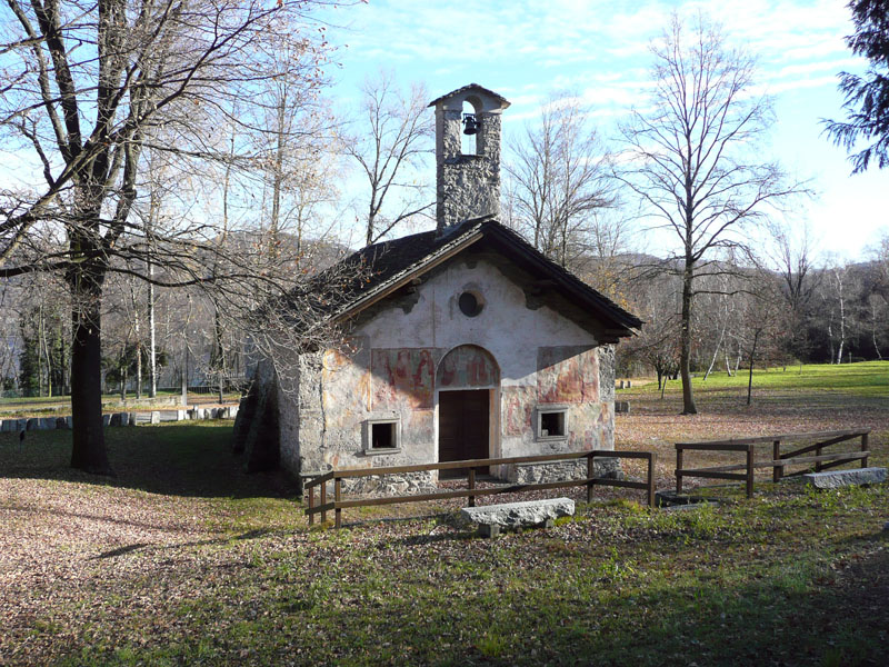
From the historic centre of Vogogna, initially on ordinary roads then on dirt roads, you reach the cycle path that runs along relaxing meadows with flowers, crops and majestic trees until you reach the Natural Oasis of the Bosco Tenso. The route, which is sometimes used by mixed users, crosses the provincial road again near the Migiandone Bridge. Here following the ordinary road you reach Migiandone, a hamlet of Ornavasso, where you re-enter on paved cycle path that leads to the Punta di Migiandone, from which also the route of the Cadorna Line starts. The path leads to the Fort of Bara, going up with hairpin bends with regular slope flanked by trenches and cave posts. Here it ends the second stretch of the Toce Cycle Path, known as “cycling through the woods”.
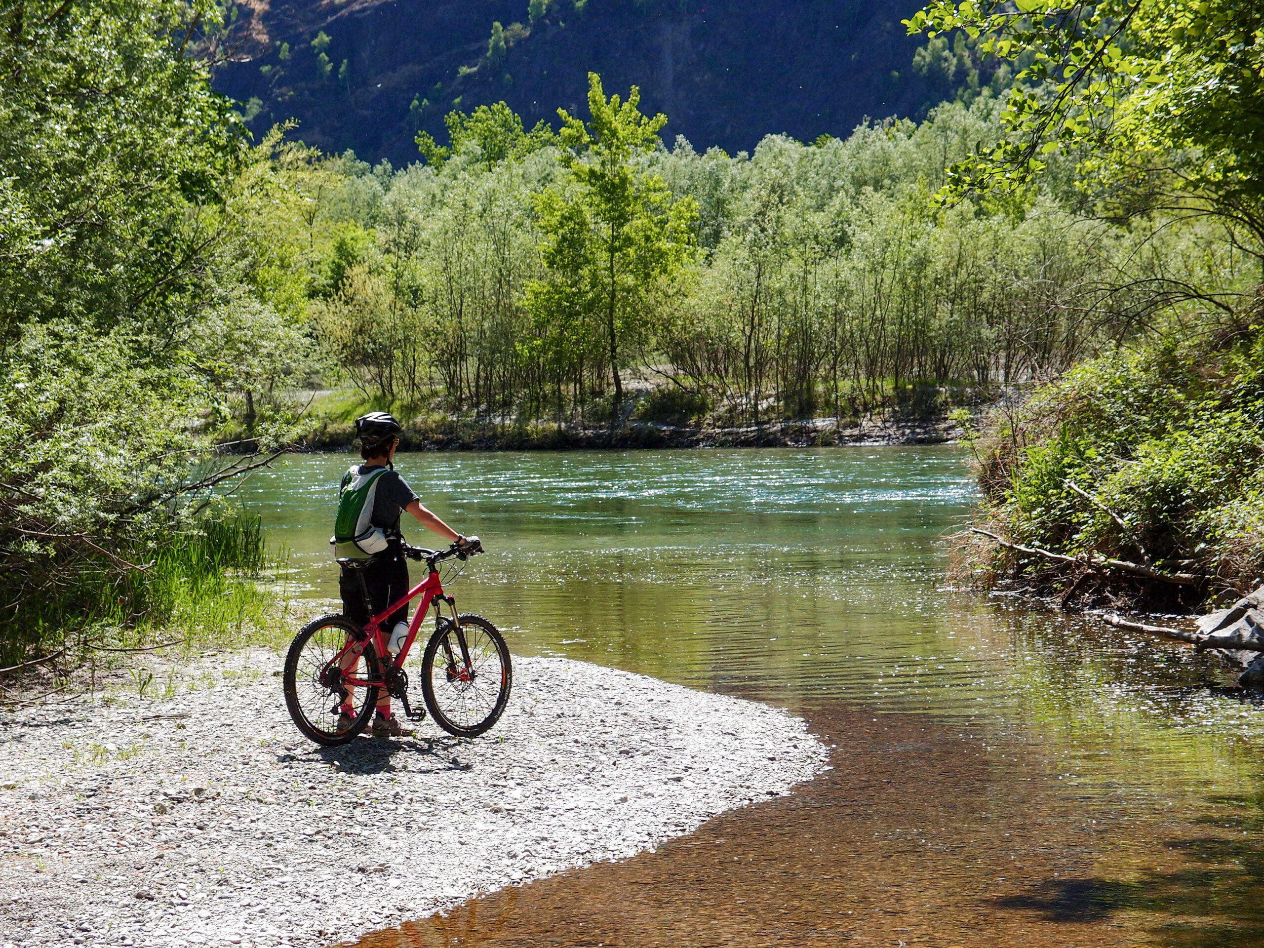
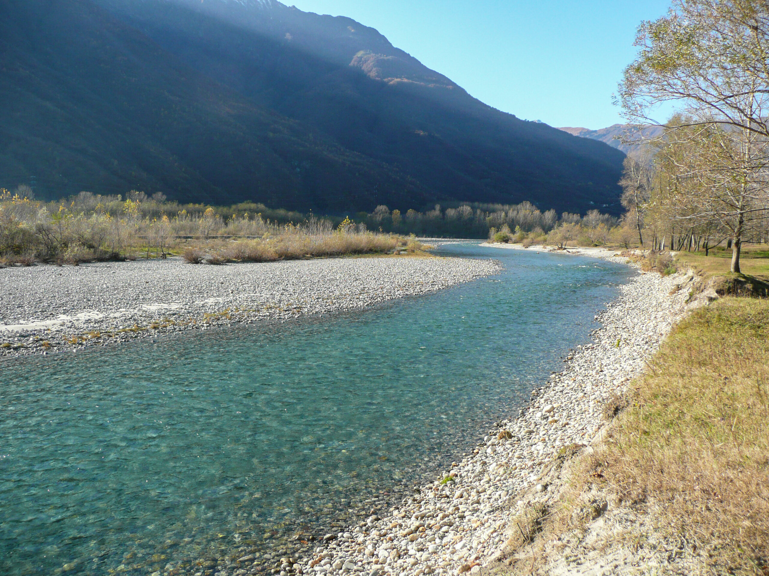
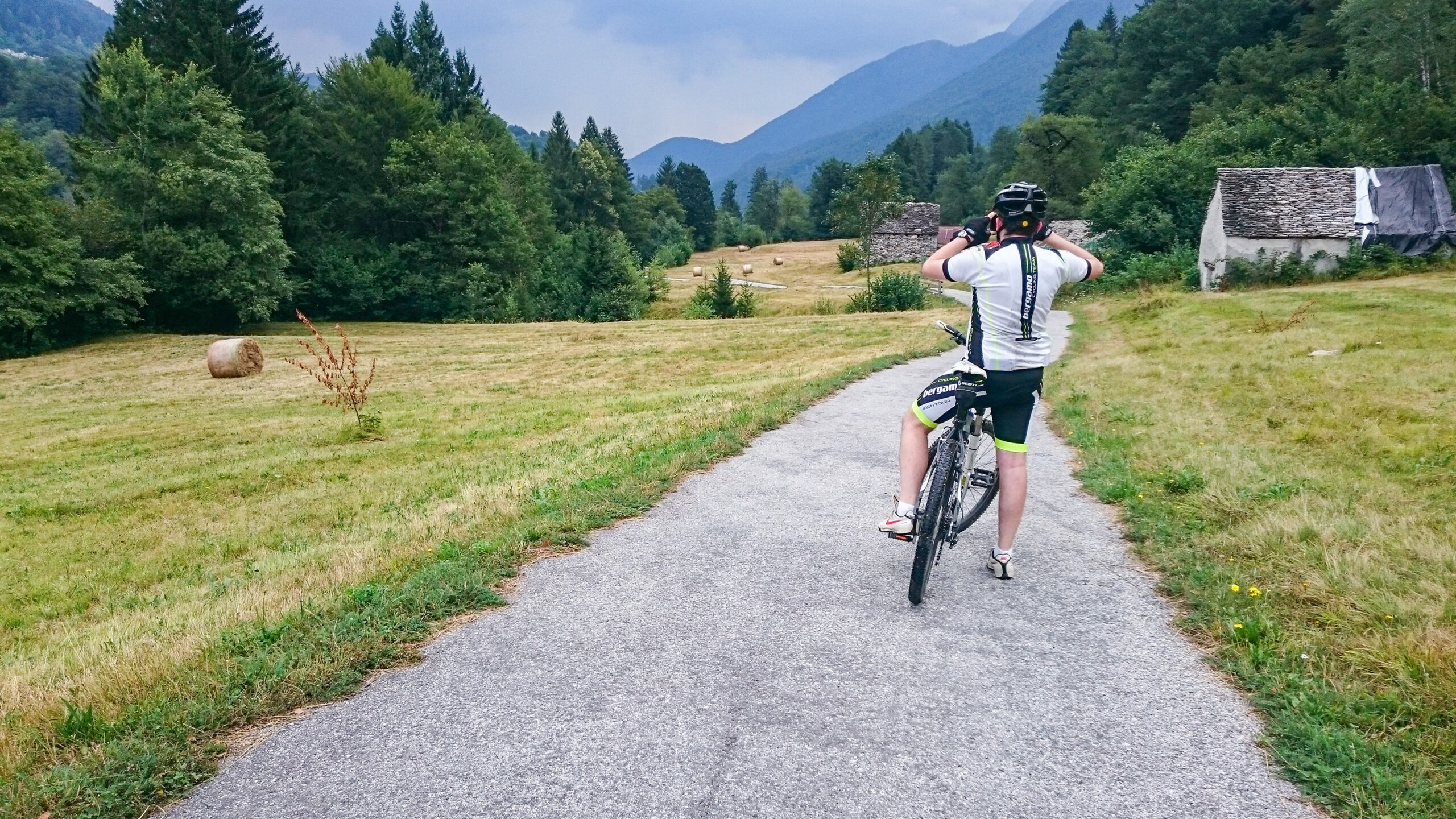
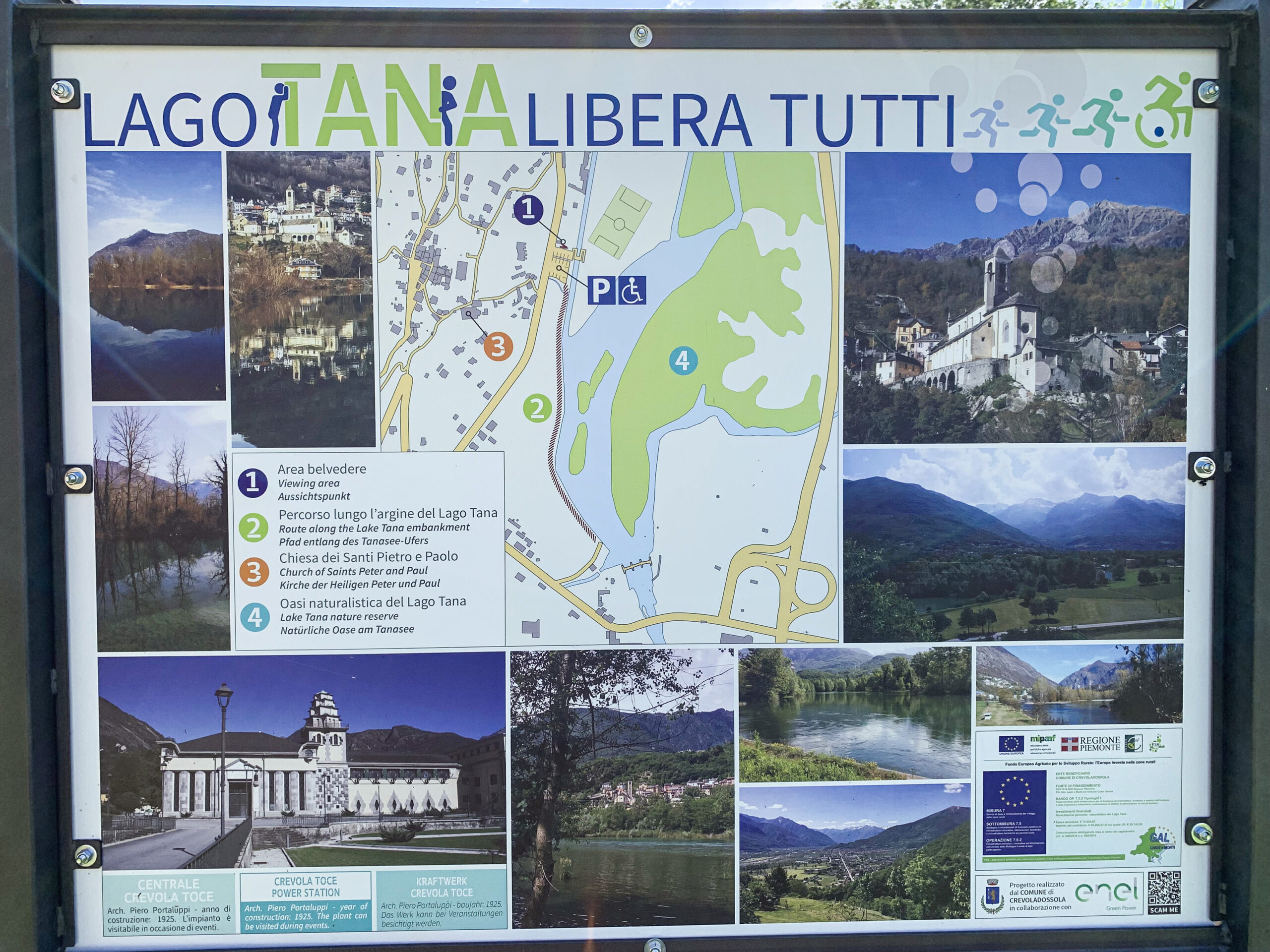
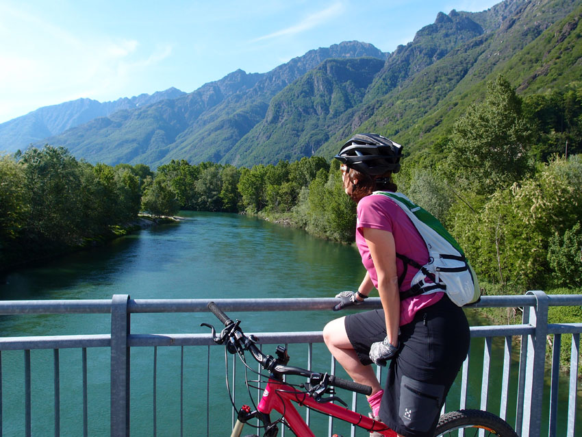
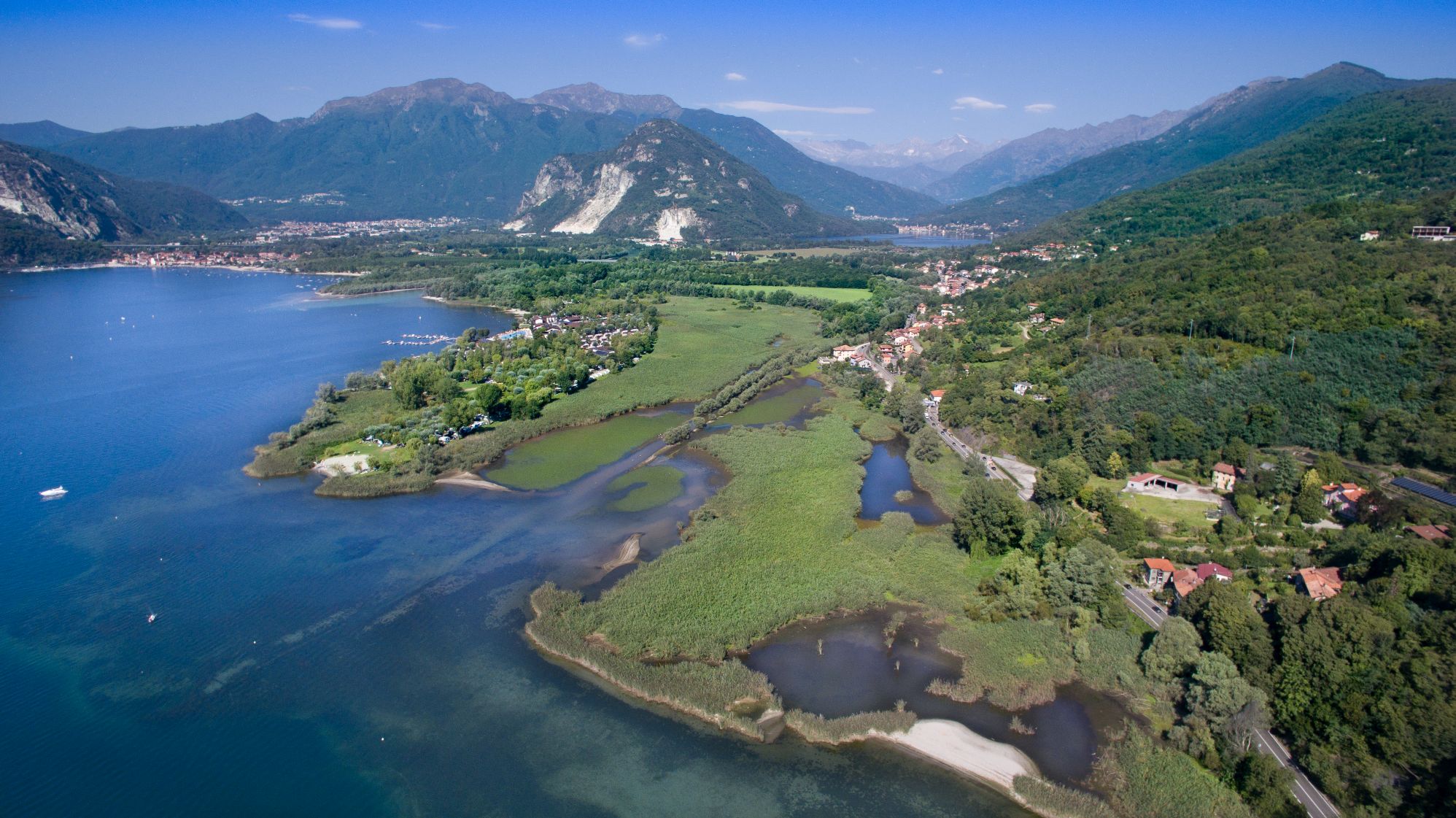
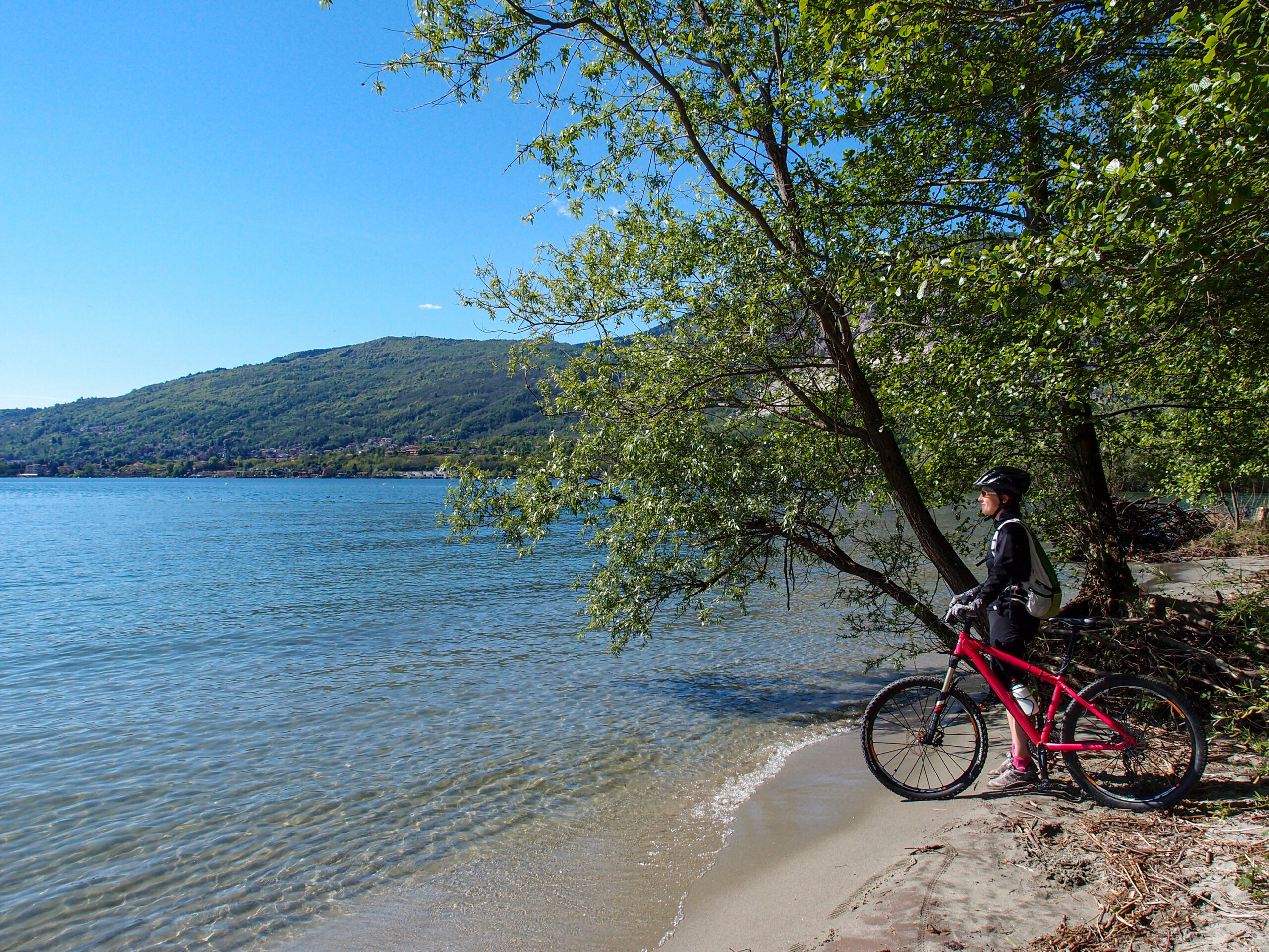
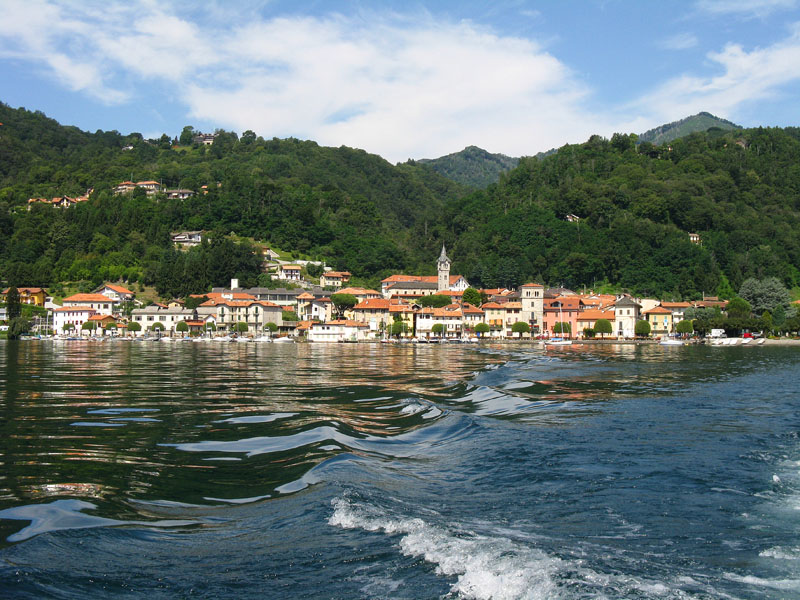
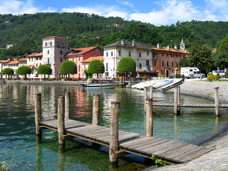
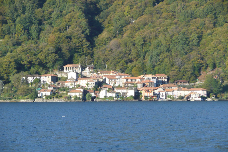
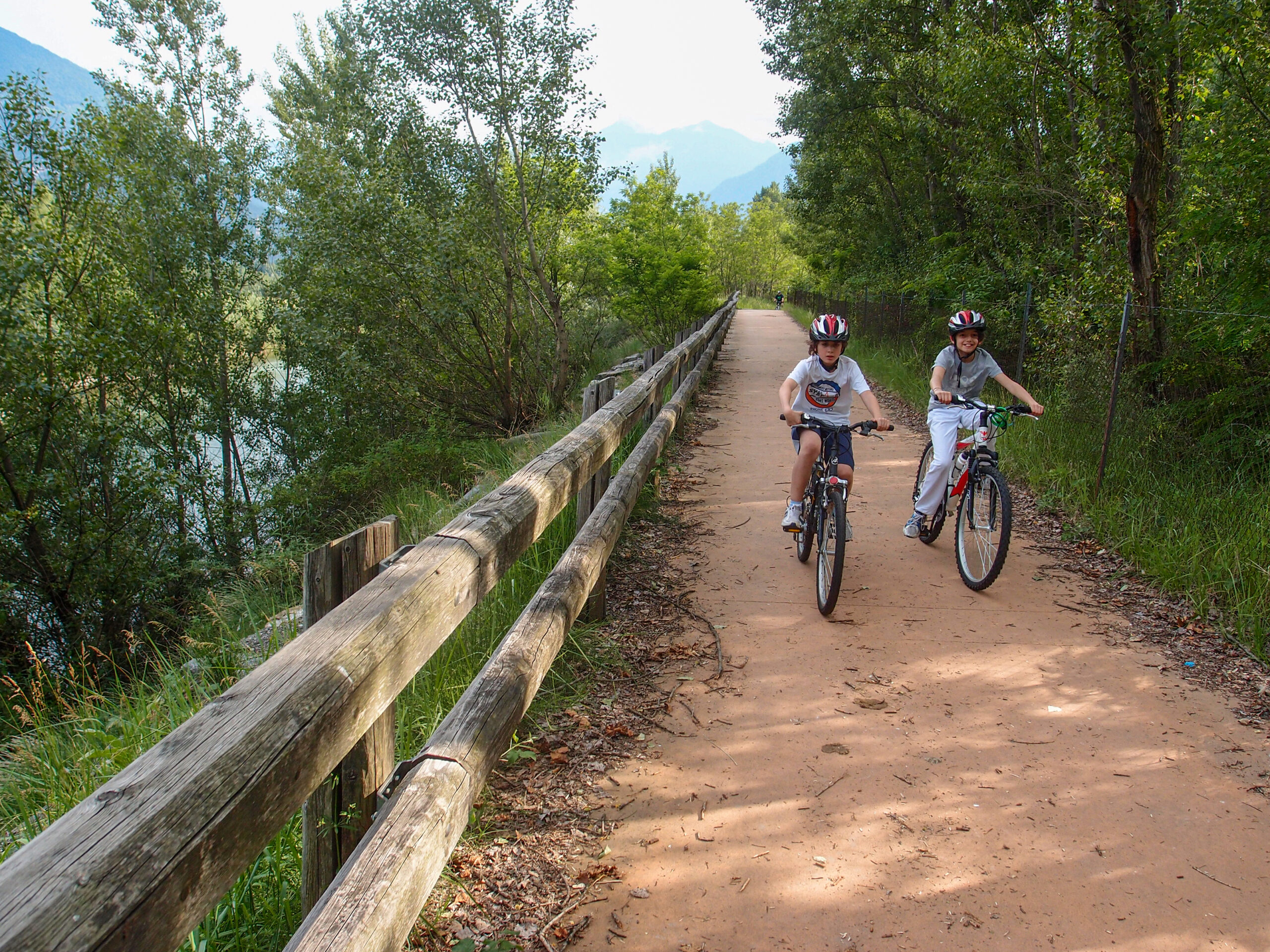
From the road bridge over the Rio San Carlo continue towards the sports field. From here a beautiful pedestrian walkway crosses the Toce River offering beautiful views of the watercourse, the thick riparian vegetation and the steep spires of the Corni di Nibbio, the mountain chain which separates the Valle d’Ossola from the Valgrande. From the footbridge, continue on the left bank of the Toce River, on a cycle path. The environment is very suggestive: the banks of the river have lush vegetation and sometimes open clearings where you can grow the typical flowers of Lake Maggiore. You cross the junction for the sports field of Mergozzo (we recommend a visit to the village overlooking the lake, awarded the recognition of “Orange Flag of the Italian Touring Club) and finally the bike path ends near the former incinerator. From here, for a short distance, return to ordinary road and take the natural (dirt) path of the Natural Reserve of Fondo Toce Biosphere Reserve MAB-UNESCO (www.parcoticinolagomaggiore.it). The cycle path continues along the left bank of the Toce River to reach the campsite area of Fondotoce, up to the reeds where there is also an observatory for bird watching, and the canal that connects Lake Mergozzo with Lake Maggiore. At the roundabout of Fondotoce it ends the third stretch of the Toce Cycle Route, defined as “cycling through the flowers”.
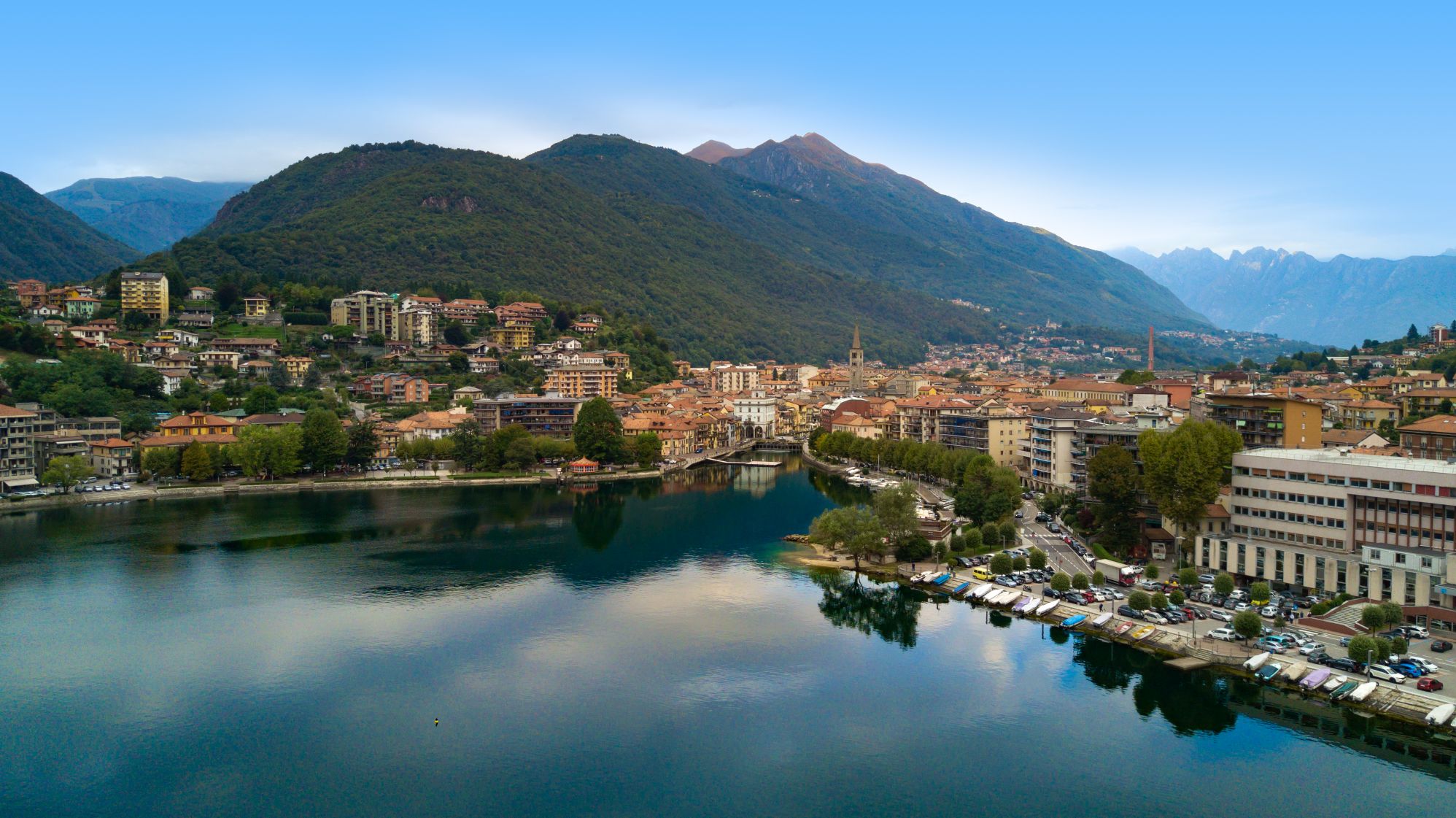
From here a paved cycle path leads to the FS station of Verbania Pallanza. The return can be done by going back or using the train.
*** *** ***
Discover here the complete description of the three stretches:
• “by bike between the villages”
• “cycling through the woods”
• “cycling through the flowers”
There is also a fourth stretch called “cycling through the riversides”.
*** *** ***
TECHNICAL ASPECTS
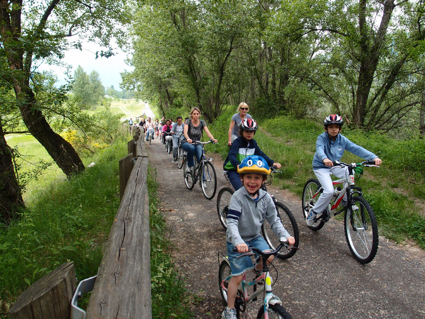
The route is overall easy and almost flat. It can also be tackled with trekking bicycles.
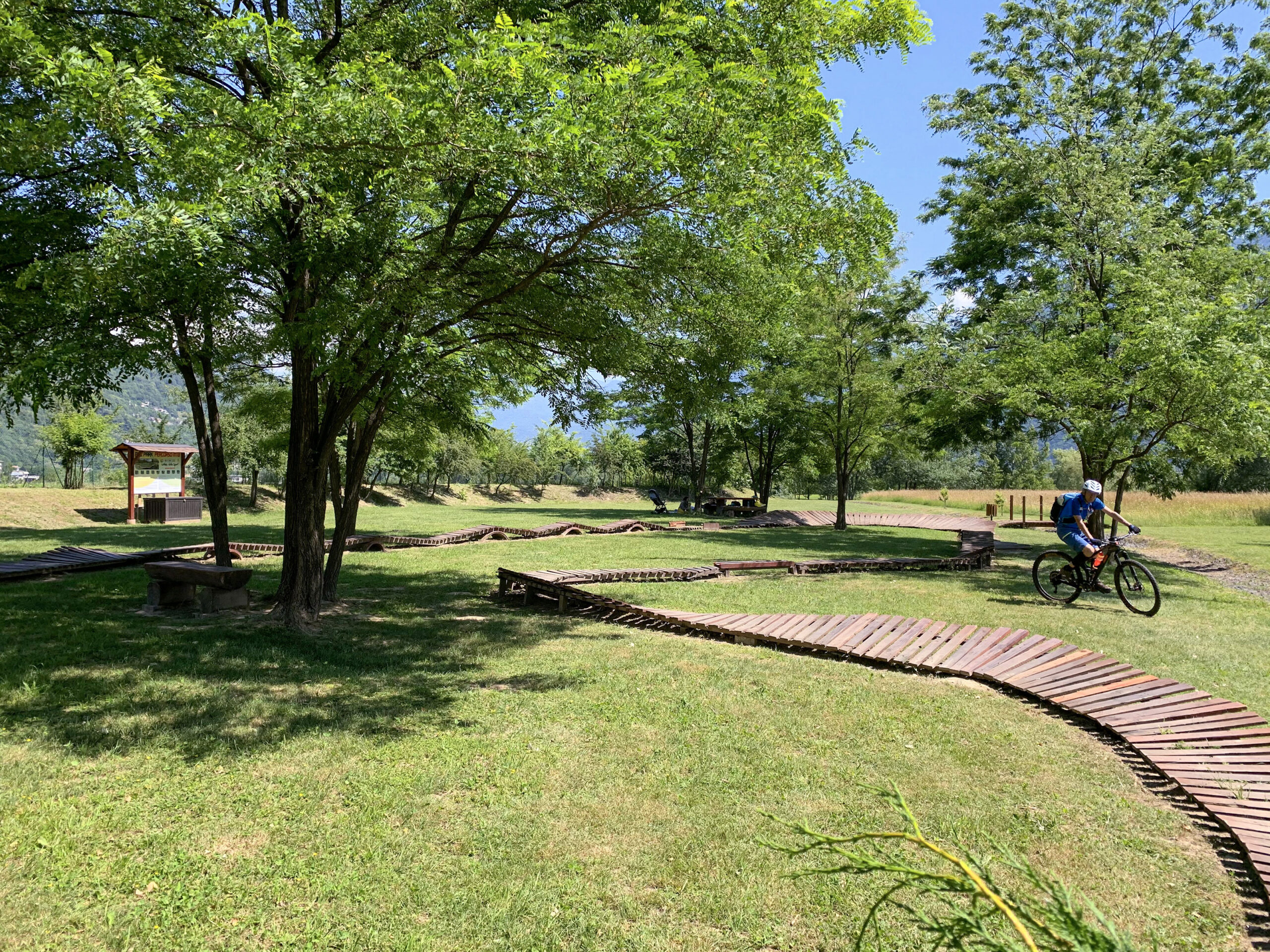
For families with young children, we point out the Domodossola- Collina dello Sport section as particularly suitable.
TECHNICAL DATA
Relevant geographical area: Verbano Cusio Ossola / Ossola Valley
Place of departure: Domodossola – Train Station
Place of arrival: Fondotoce – Train station Verbania Pallanza
Number of legs: 1
Length: 47,0 km
Total ascent: 75 m indicativa
Total descent: 140 m indicative
Difficulty: Medium – Easy
Average duration: 4 hours
Minimum altitude: 194 m.a.s.l.
Highest elevation reached: 270 m.a.s.l. (Domodossola station)
Degree of cyclability: total
Recommended period: April -October Doable year-round anyway
Presence of dedicated signage: yes
Target audience: family/ bicycle tourist / cyclo-hike
Back to the list of routes


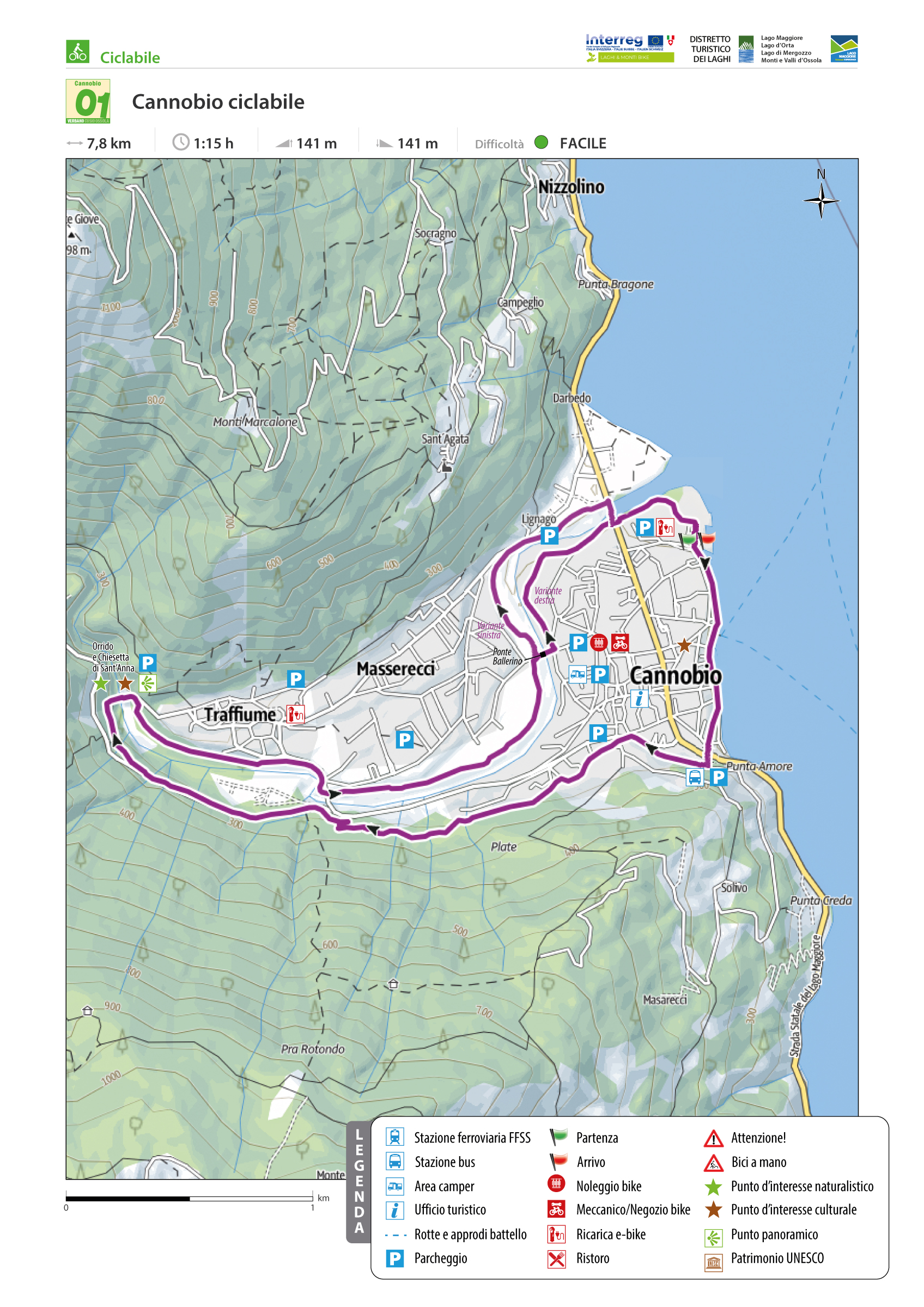
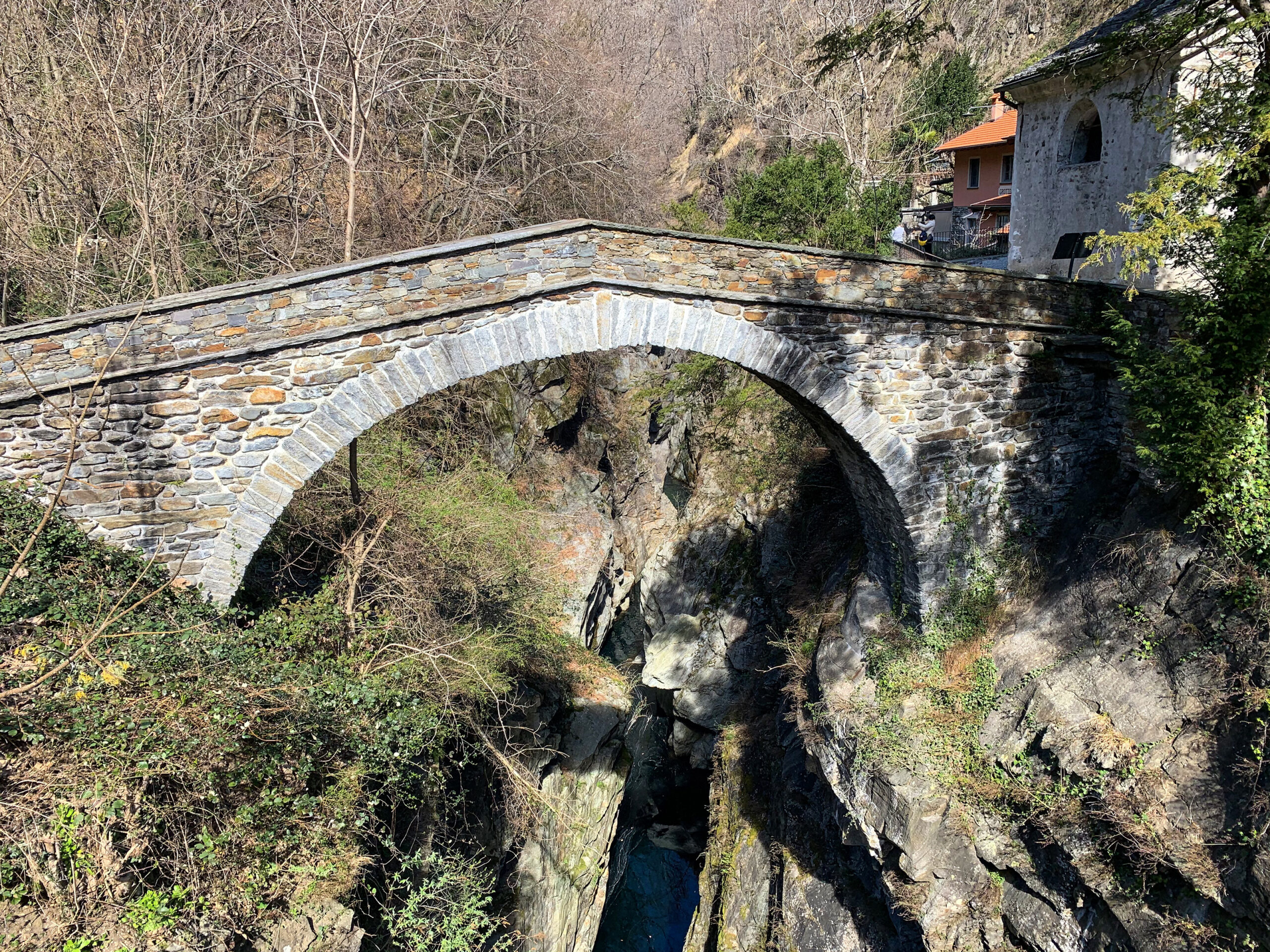
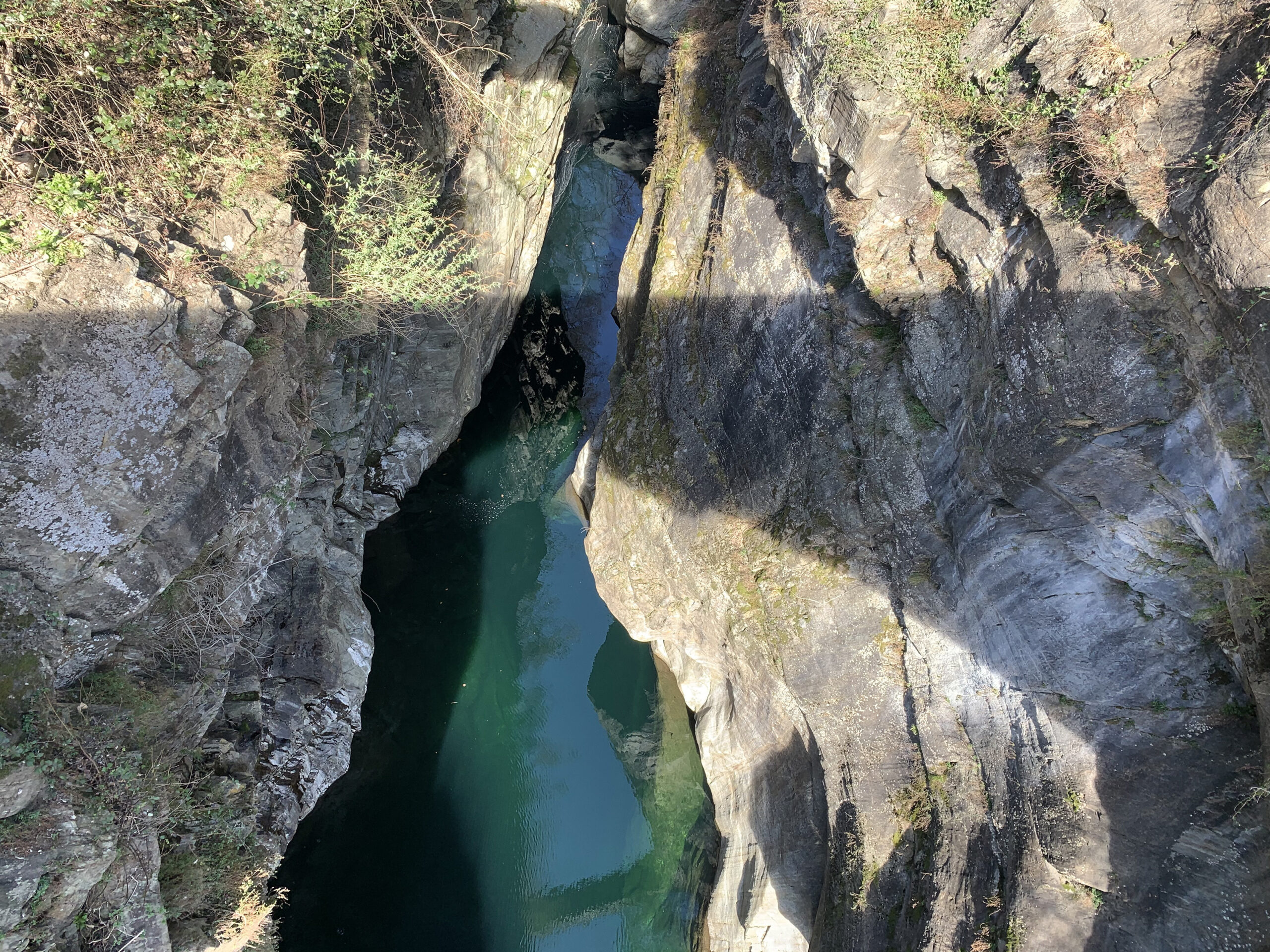
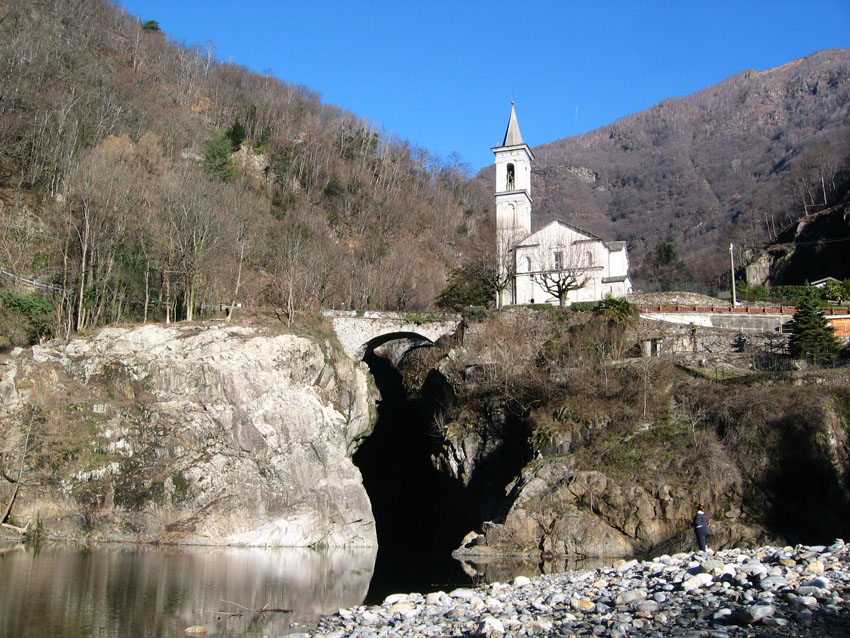
CANNOBIO AND ST. ANNA GORGE
Lago Maggiore
Route description
Cannobio‘s “bike way,” along with other measures designed and implemented with a bikefriendly perspective, has enabled the town of Verbania to receive the coveted “yellow flag” as a bike-friendly municipality from FIAB (Italian Federation for Environment and Bicycle).
In doing so, the last Italian town close to Canton Ticino, dear to San Carlo Borromeo, intended to offer its many guests a bicycle route to learn more about its territory.
Inspired by European directives encouraging routes along waterways, Cannobio has developed its bicycle path between Lake Maggiore and the Cannobino Stream, offering users numerous insights into history, culture, and the environment.
Back to the list of routes
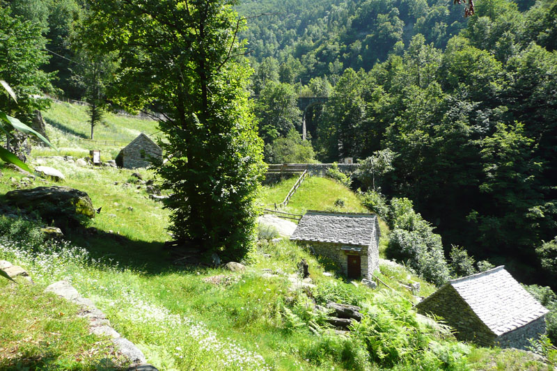
The route starts from Vogogna
TOCE CYCLE PATH, CYCLING THROUGHT THE WOODS
Piana del Toce
Route description
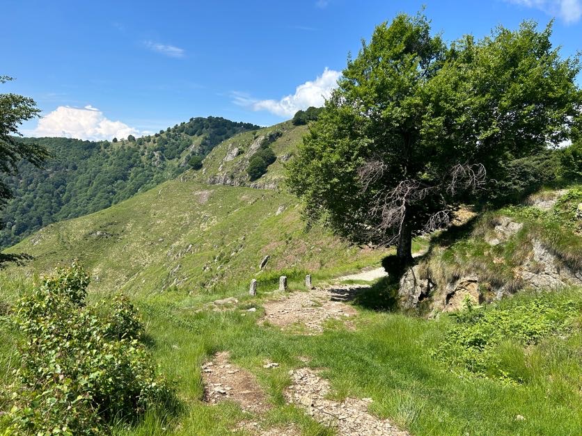
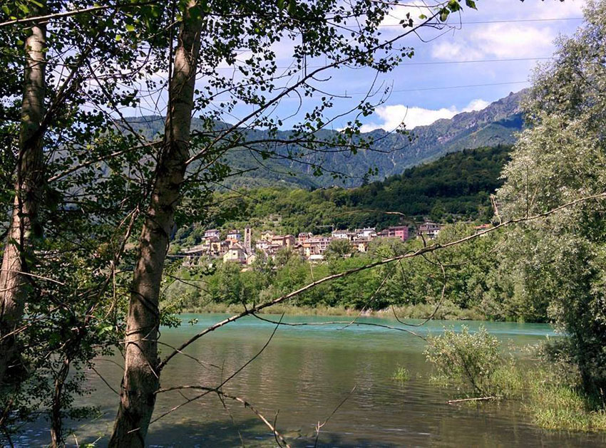
The route starts from Vogogna and takes you to Ornavasso passing through the central part of the Toce river valley amid cultivated fields and woods of the plain. You cross Bosco Tenso (Tenso Woods). The area is important for its abundant and varied bird life including both resident and migratory species. The reserve has a series of information boards that describe the animal species present in the area.
Back to the list of routes

a corridor between Ossola and Ticino
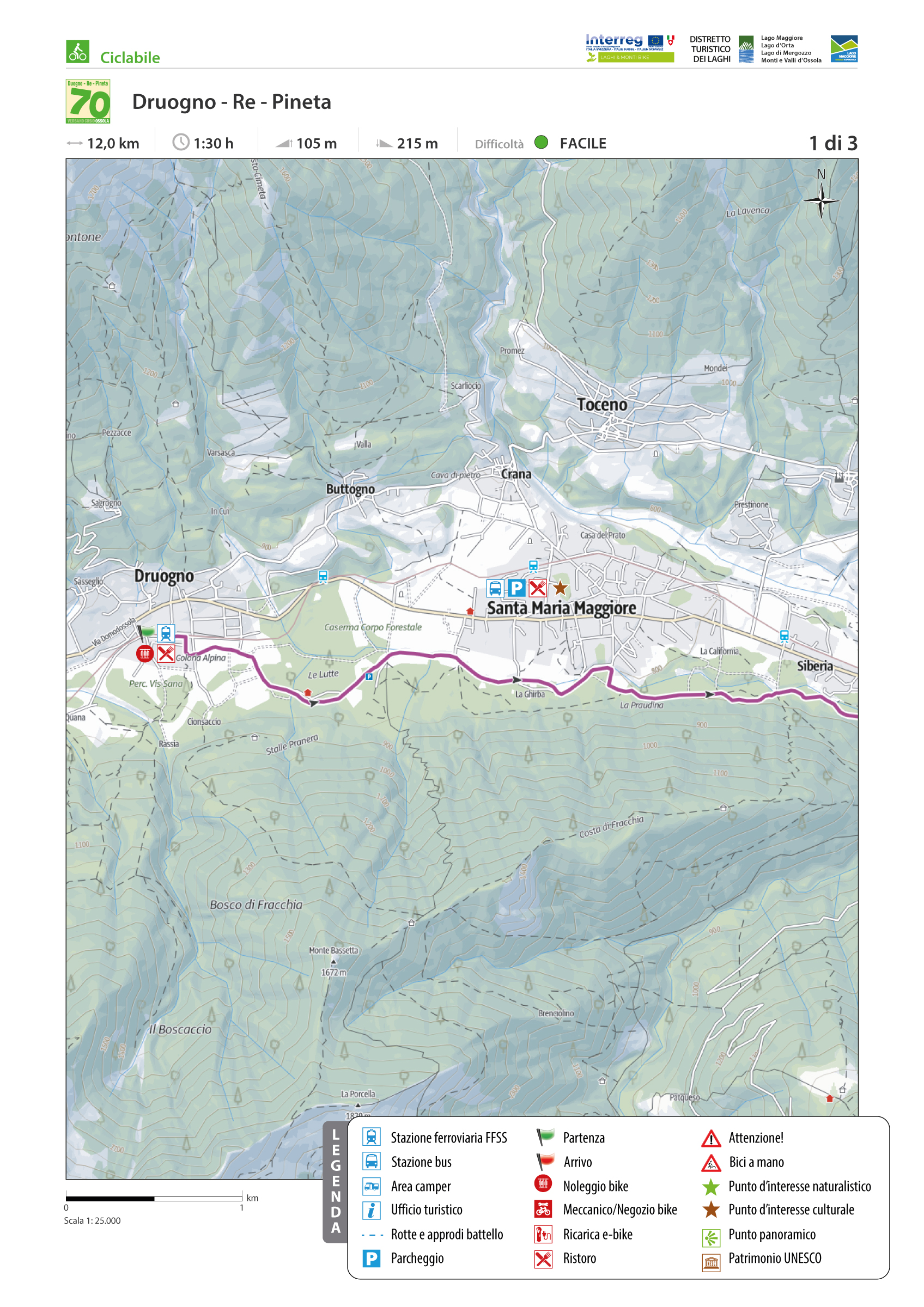
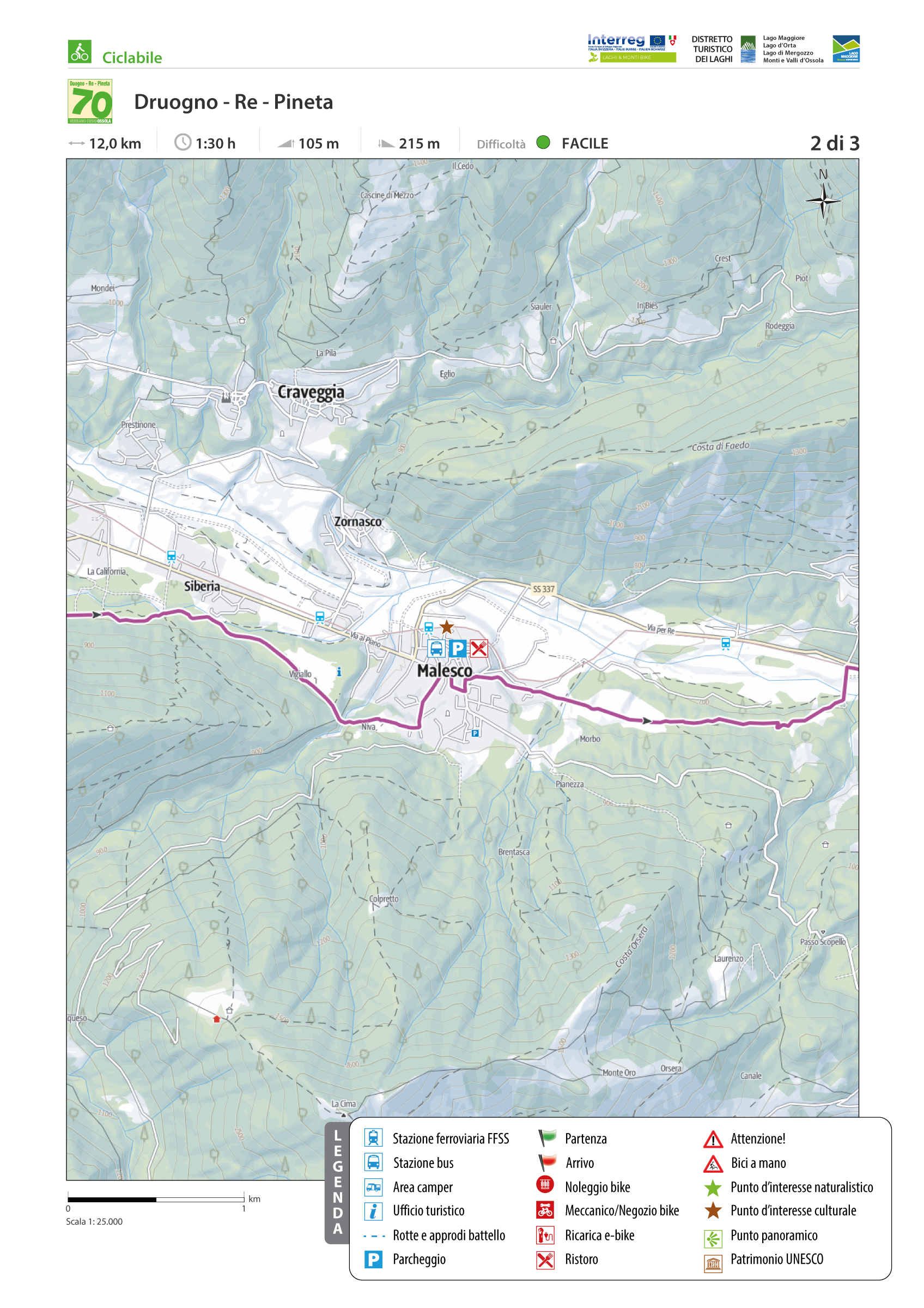
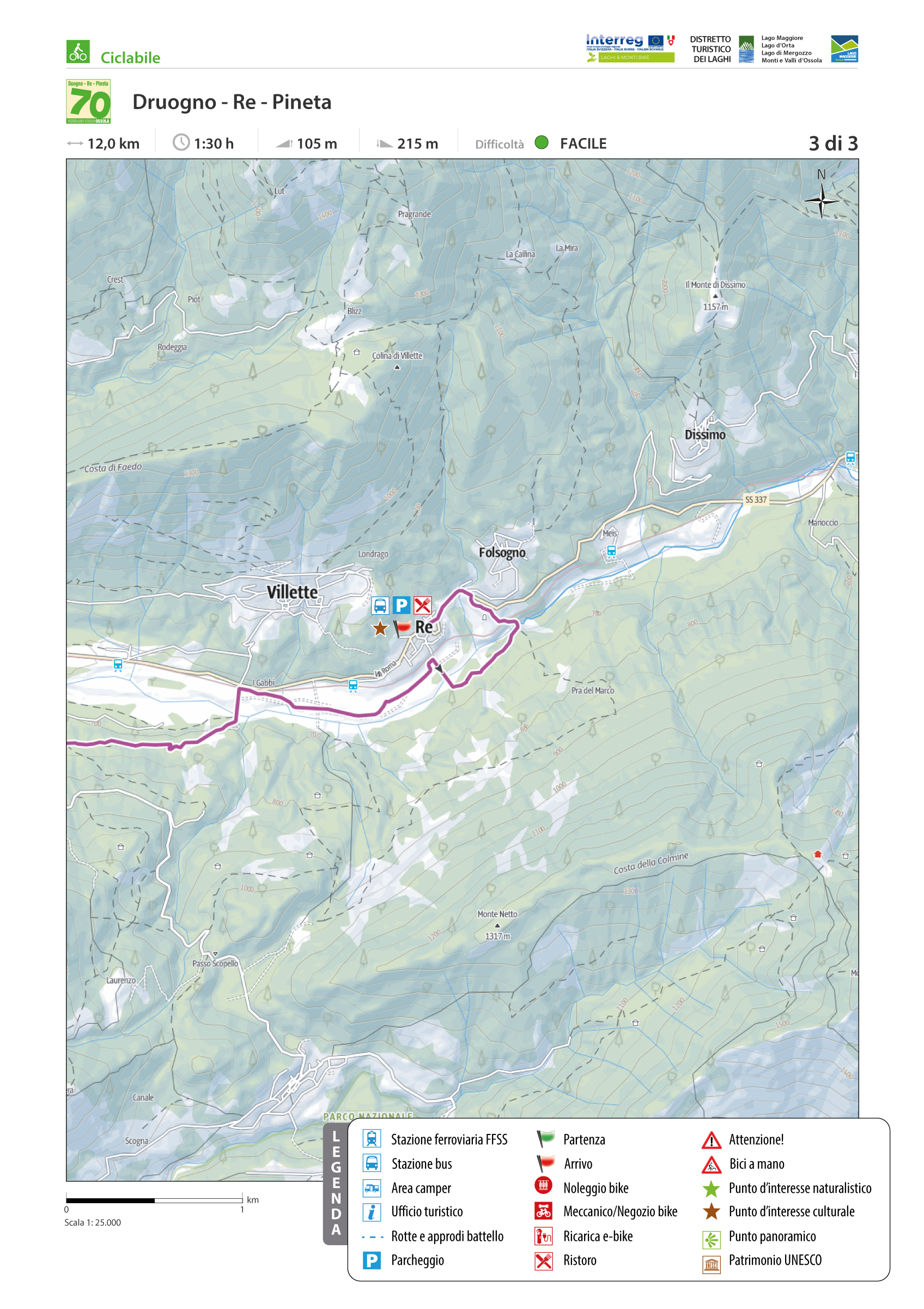
VIGEZZO BIKE LAND: CYCLE ROUTE DRUOGNO – RE “PINETA”
Valle Vigezzo
Route description
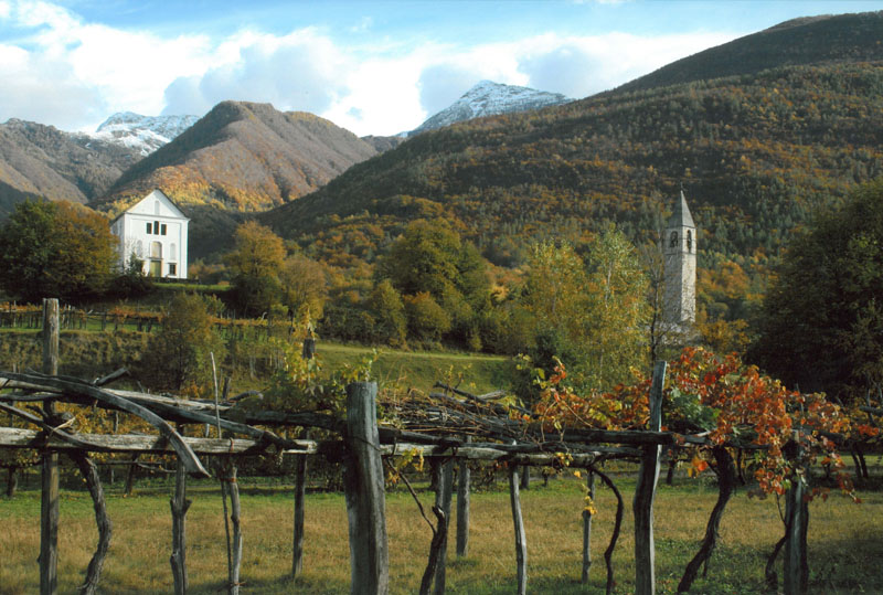
The Vigezzo Valley is a unique valley among those of the Ossola. It is a corridor between the Ossola and the Ticino, has neither beginning nor end, and is a vast plateau 800 m above sea level covered with forests. The valley tells the legend of chimney sweeps and an artistic tradition of large brushes that has earned Vigezzo the nickname “Valley of Painters”.
The valley has 15 marked bicycle and pedestrian routes, some of which use bicycle paths and some of which use agricultural tracks or existing roads. The the main route is No. 1, the Druogno—Re “Pineta” route.
This bicycle route par excellence in the Vigezzo Valley has an almost continuous dedicated bicycle path, except for a short section on a low-traffic secondary road before the Santa Maria Maggiore sports field and in crossing the village of Malesco.
Back to the list of routes
THE ROUTE STARTS FROM DOMODOSSOLA
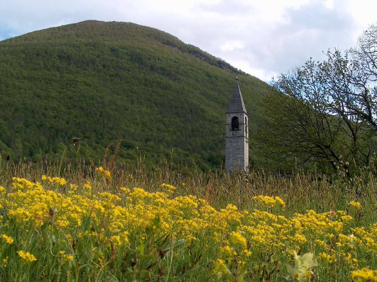
CYCLE PATH OF TOCE, CYCLING AROUND THE VILLAGES
Domodossola e dintorni
Route description
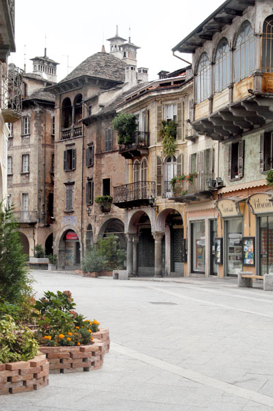
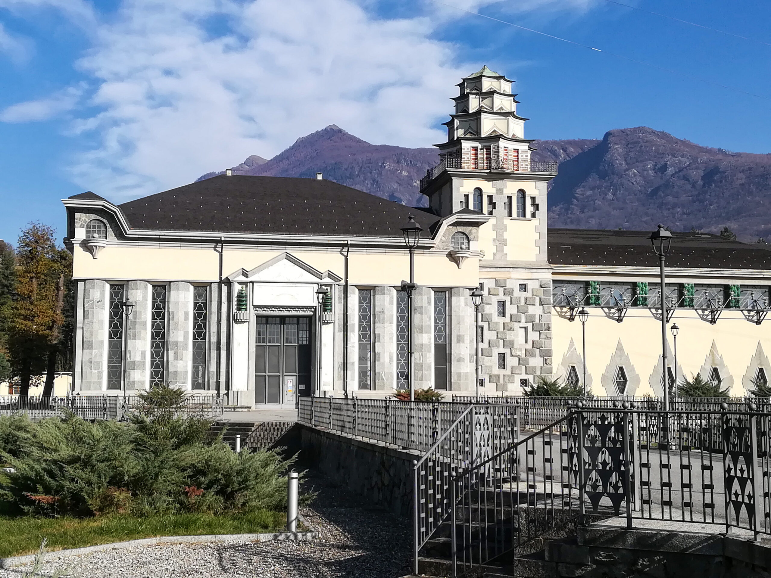
The route starts from Domodossola, the ancient capital of the Upper Ossola, the fulcrum of a borderland, a crossroads of cultures and trade. The historic core of Domodossola, a cultural jewel of absolute prominence nationally and beyond, has undergone a major architectural redevelopment in recent years. The “Borgo della Cultura” project aimed to draw a new image of the entire old town by redeveloping its most important buildings and evaluating the medieval wall system that protected and jealously guarded it over the centuries.
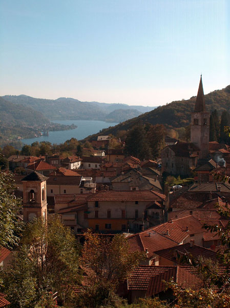
The endpoint of this thematic itinerary is the village of Vogogna, capital of the Lower Ossola, included in the list of 217 “Most Beautiful Villages in Italy” (www.borghitalia.it), with an architectural layout of the medieval village dating back to the 14th century. Vogogna has also been awarded the Orange Flag by the Italian Touring Club (www.bandierearancioni.it).
Back to the list of routes

ROUND TRIP STARTING FROM DOMODOSSOLA
TOCE CYCLE PATH, CYCLING ALONG THE RIVERSIDES
Domodossola e dintorni
Route description
This is a round trip starting from the railway station of Domodossola that takes you in the clockwise direction all around the flatland of Domodossola, Crevalodossola, Montecrestese, Masera and Trontano. The route takes its name because it passes five rivers: Toce, Bogna, Diveria, Isorno and Melezzo.
Back to the list of routes
THE ROUTE STARTS AT ORNAVASSO AND REACHES THE CANEBRAKE OF FONDOTOCE
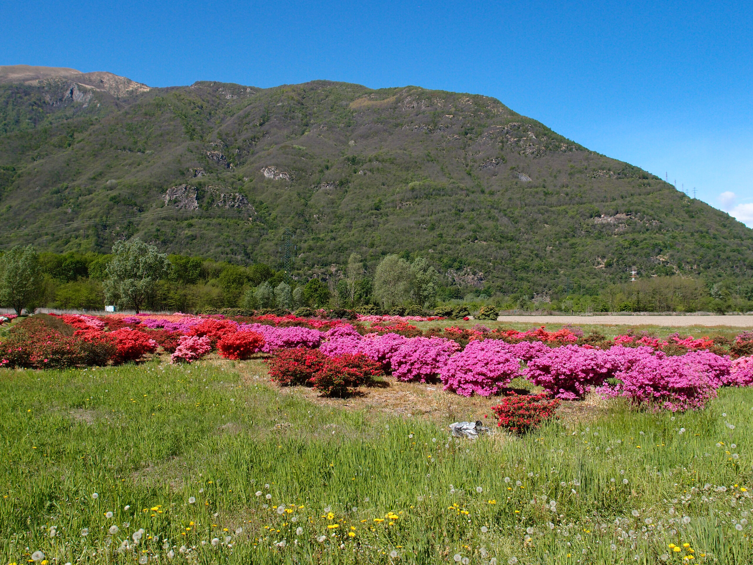
TOCE CYCLE PATH, CYCLING THROUGH THE FLOWERS
Lago Maggiore
Route description
CYCLEWAY
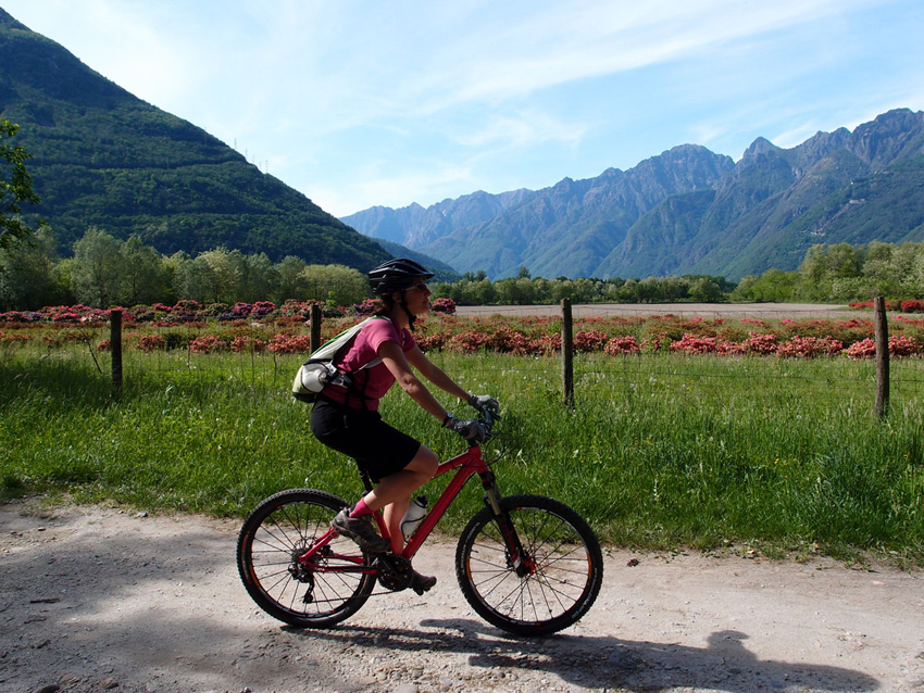
The route starts at Ornavasso and reaches the canebrake of Fondotoce and the railway station of Verbania Pallanza passing through the production areas of “Flowers Typical of Lake Maggiore”. Between April and May, in the blooming period, azaleas, rhododendrons and camellias display their infinite shades and tints of colours.
Back to the list of routes
BIKE TOURING STARTING FROM OMEGNA
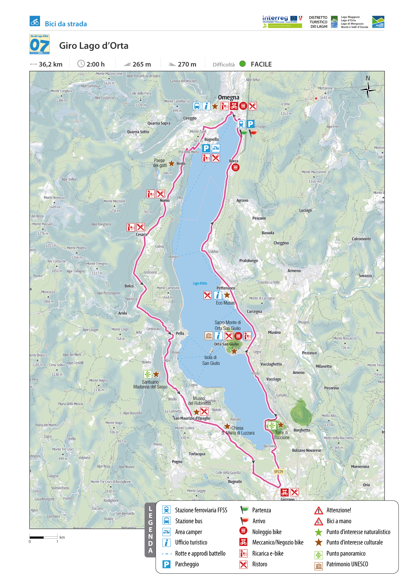
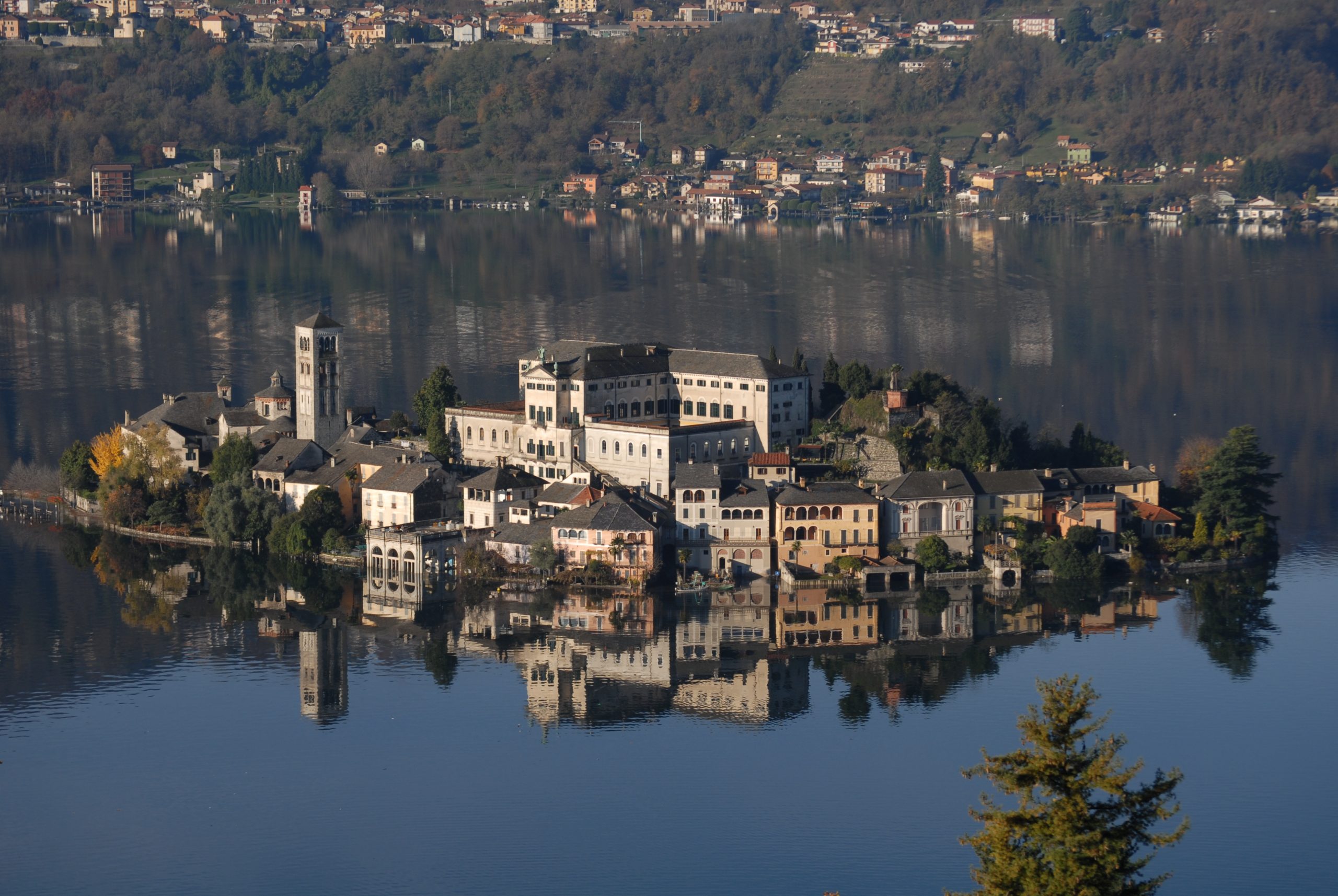
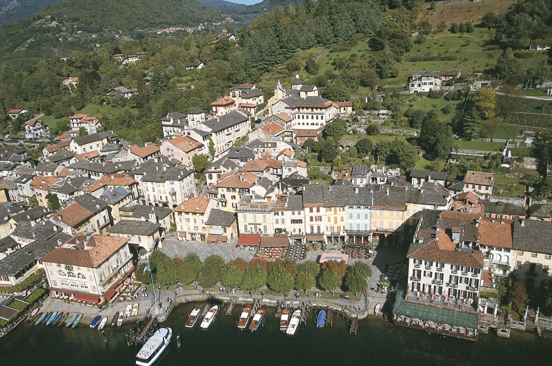
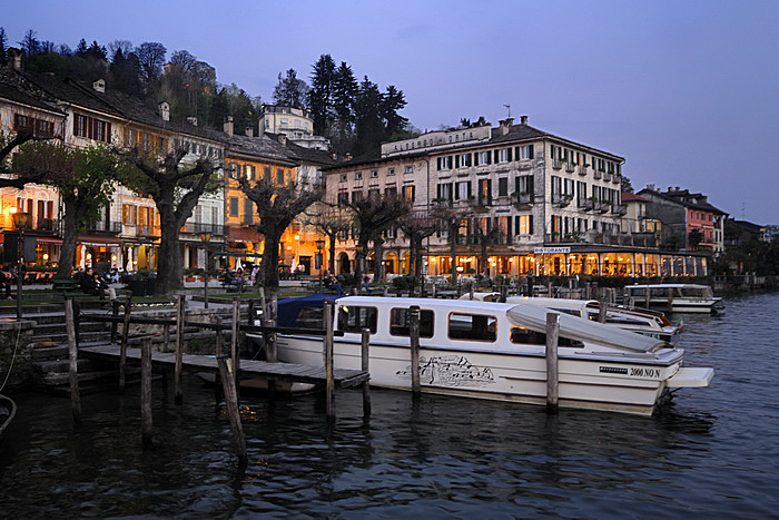
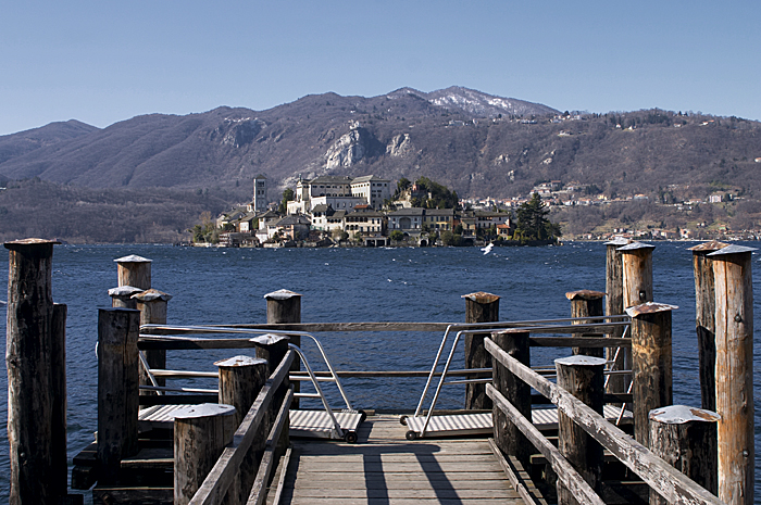
TOUR OF ORTA LAKE
Lago d’Orta
Route description
Cult tour around the Lake Orta and the Isle of San Giulio
It is a very well-known and popular ride, especially among foreign guests.
The reasons for its success are diverse, from lake to island, from tower to sanctuary…along an arterial road with low road traffic.
Back to the list of routes
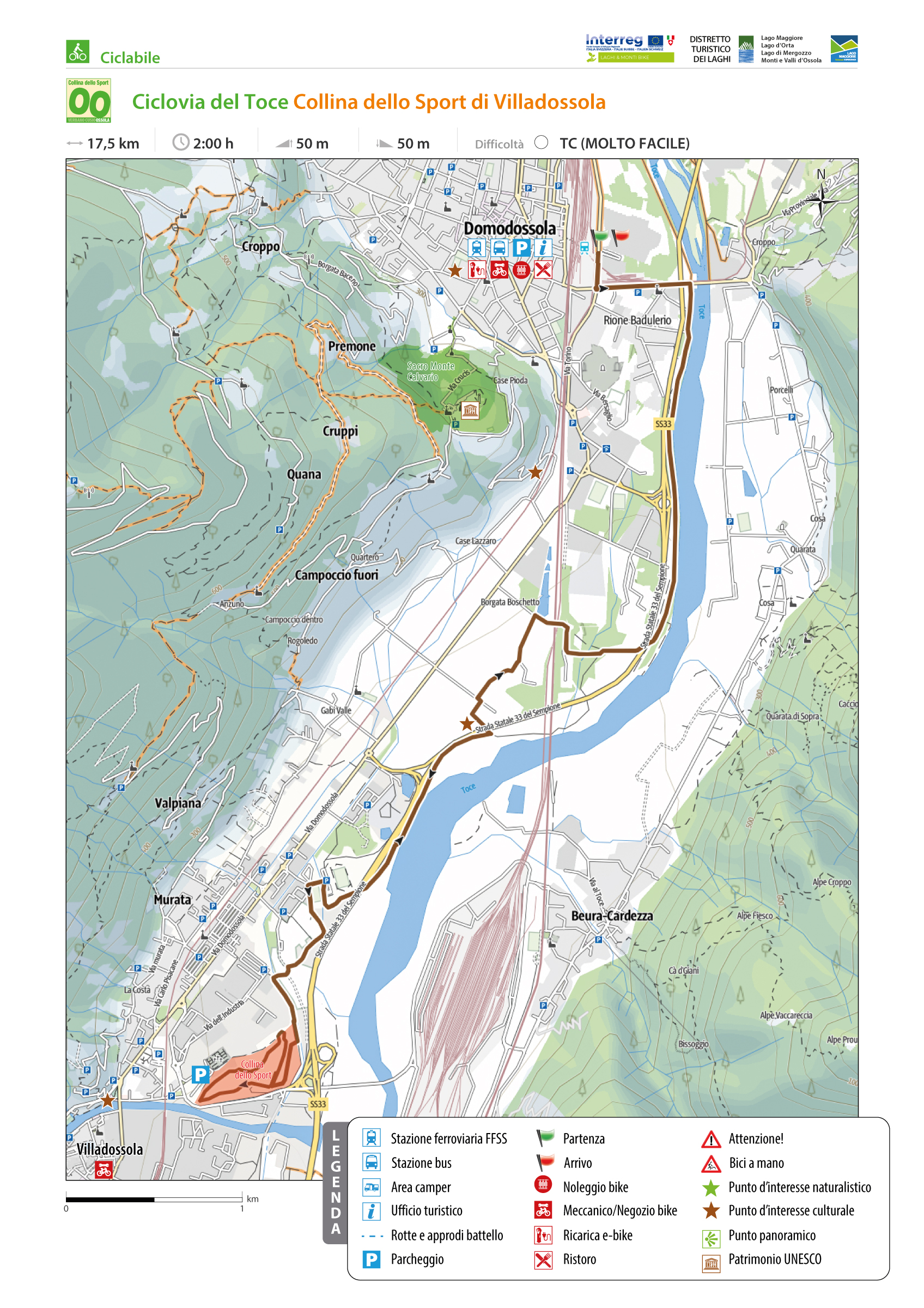
TOCE CYCLEWAY: VILLADOSSOLA SPORTS HILL
Domodossola e dintorni
Route description
This route runs along the first section of the Ciclovia del Toce and is characterized almost entirely by dedicated bike lanes. The route starts in Domodossola and reaches the Collina dello Sport in Villadossola.
Back to the list of routes
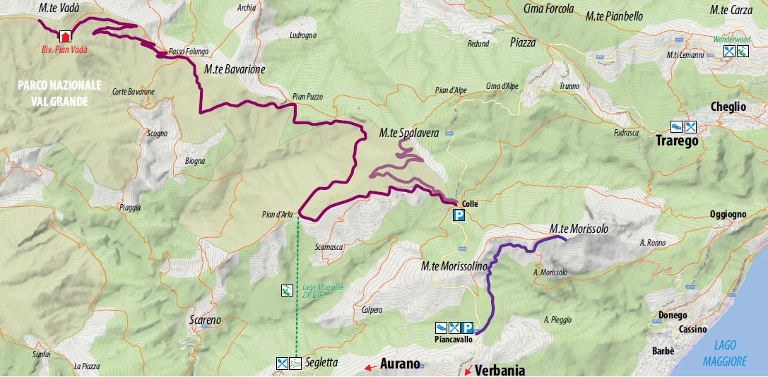
From Piancavallo to the Tunnels of Monte Morissolo
HISTORIC MOUNTAIN ROADS: LINEA CADORNA
Alto Verbano
Route description
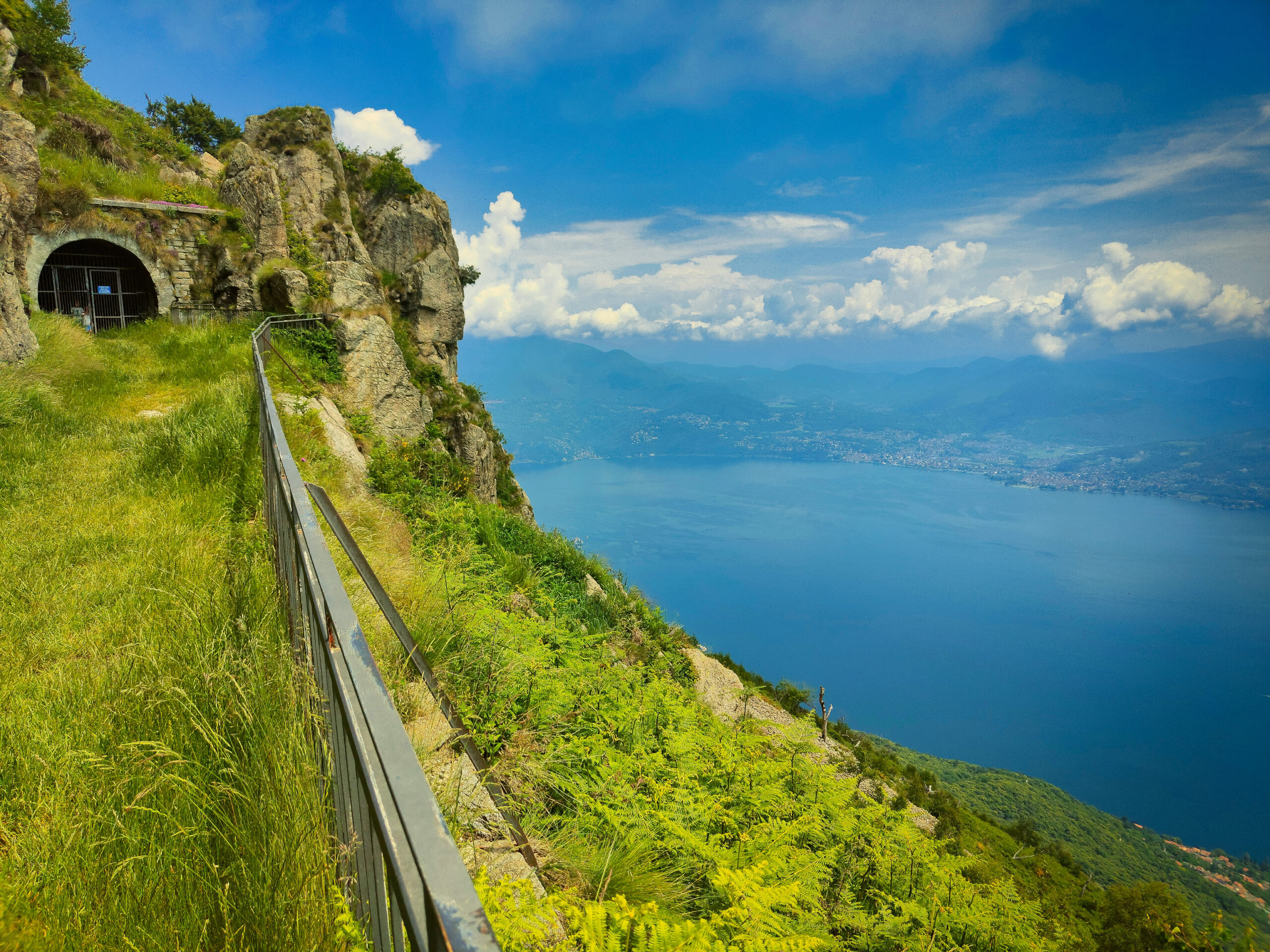
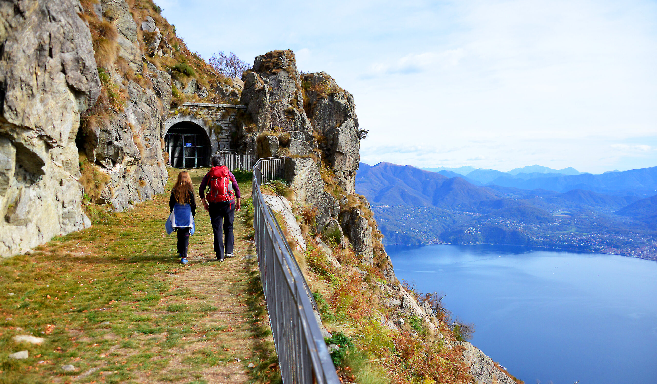
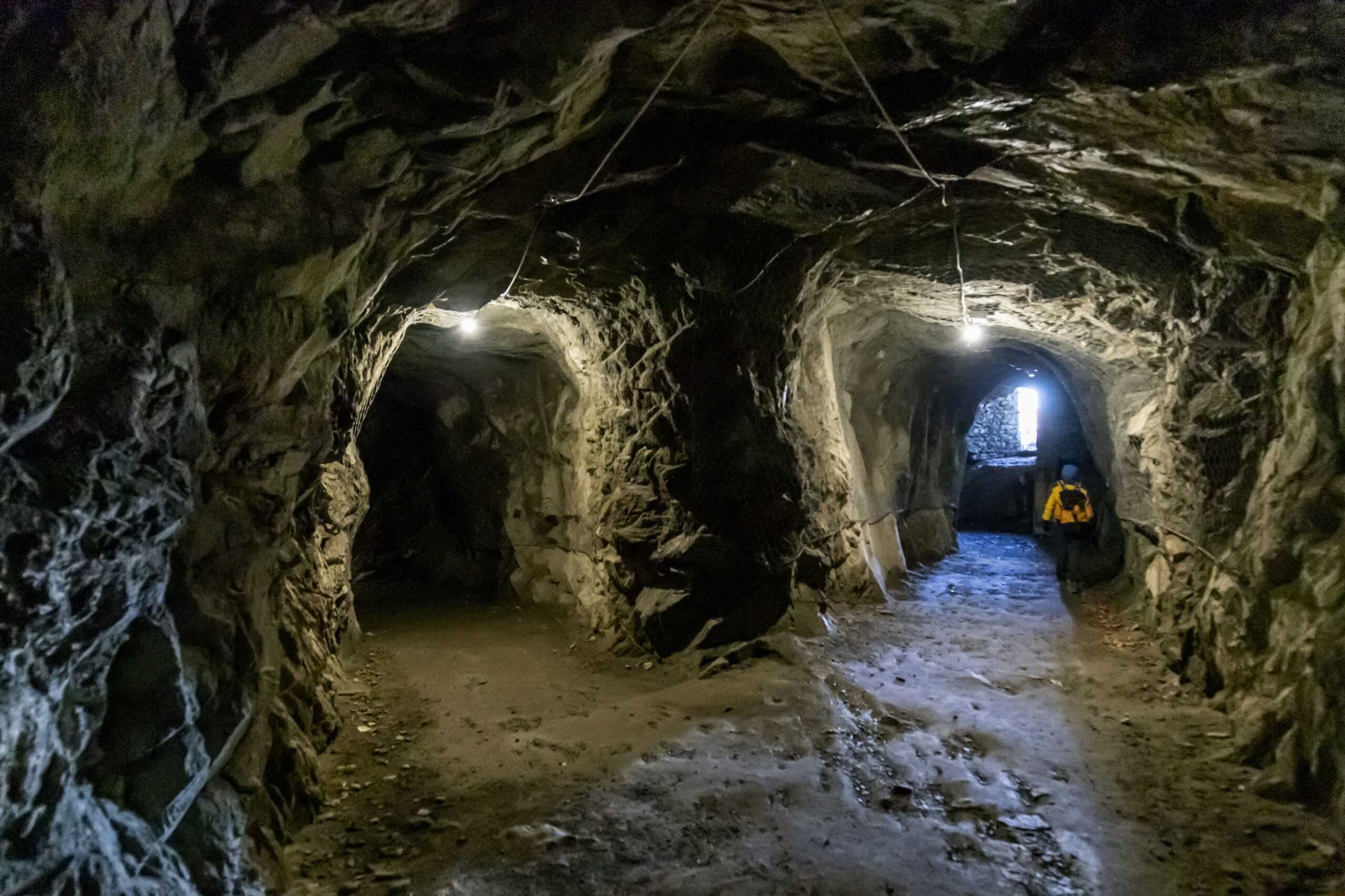
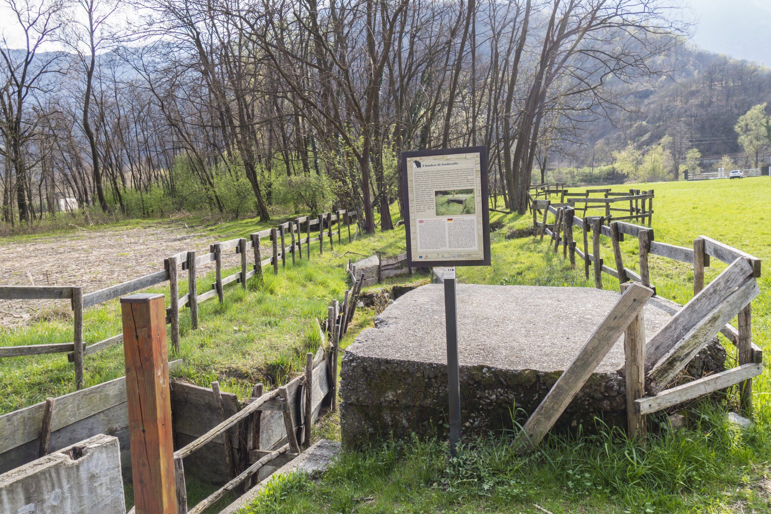
The Cadorna Line is the defence system that was built near the Swiss border during World War I at the behest of General Luigi Cadorna, the then Chief of Staff of the Italian Army, who feared a German-Austrian invasion through neutral Switzerland.
The immense defence structure, built between the summer of 1915 and the spring of 1918, stretched from Ossola to Verbano and into Lombardy, becoming a dense network of military roads and mule tracks, trenches, artillery positions, lookout posts, camp hospitals and logistical facilities, barracks and outposts.
The work was carried out by local bricklayers and stonemasons and women also played a fundamental role in the construction of the defence line, particularly in transporting material and supplies to the work sites.
The Cadorna Line was never used for war purposes and today this military road is a historical heritage site that allows the community to learn about a historical moment of the 20th century.
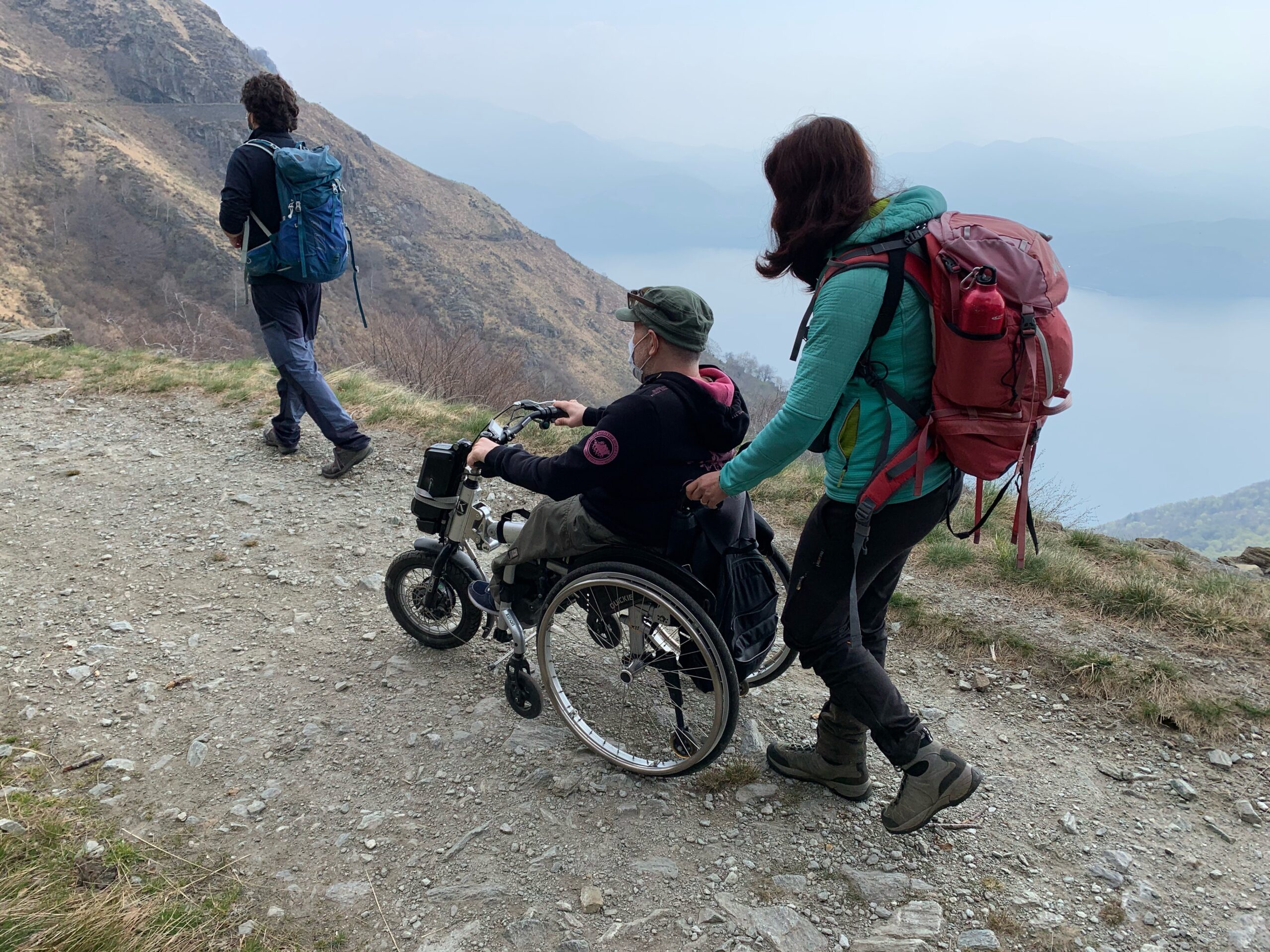
It is also a natural heritage of trails for trekking and mountain-biking enthusiasts, offering routes that can be travelled almost all year round (be careful in the event of recent snowfall).
HIGHLIGHTS AND TOUR DETAILS
The section of the Cadorna Line between Piancavallo and Morissolo begins in Piancavallo (1247 m asl) in Alto Verbano, following the road to Colle. After passing the Auxological Hospital, you take the dirt road to the right, following the signs for the Monte Morissolo tunnels. After passing a barrier, the flat route begins on the wide military road that crosses a picturesque beech wood. As you exit the wood, you are struck by the breathtaking view of Upper Lake Maggiore. In just under half an hour on foot you reach the tunnels carved into the live rock and the cave posts of Monte Morissolo.
Trail suitable for people using motorised wheelchairs suitable for uneven terrain or manual but equipped wheelchairs. The use of wheelchair attachment with an accompanying person is recommended.
POINT OF INTERESTS
Scenic view of Upper Lake Maggiore.
Tunnels and cave posts.
Other trekking routes depart from here to Cima di Morissolo and Monte Morissolino.
A few kilometres away, it is possible to reach the Lake Maggiore Zipline, the 1850 m long steel cable which allows you to try the experience of an adrenaline-packed flight of 1 and a half minutes at over 120 km/hr (www.lagomaggiorezipline.it – possibility to rent e-bikes at Alpe Segletta – Aurano).
Fun is assured at Wonderwood Adventure Park and a breathtaking view from the Big Bench of the Lake at Monte Carza (Trarego Viggiona) www.wonderwood.it .
Back to the list of routes