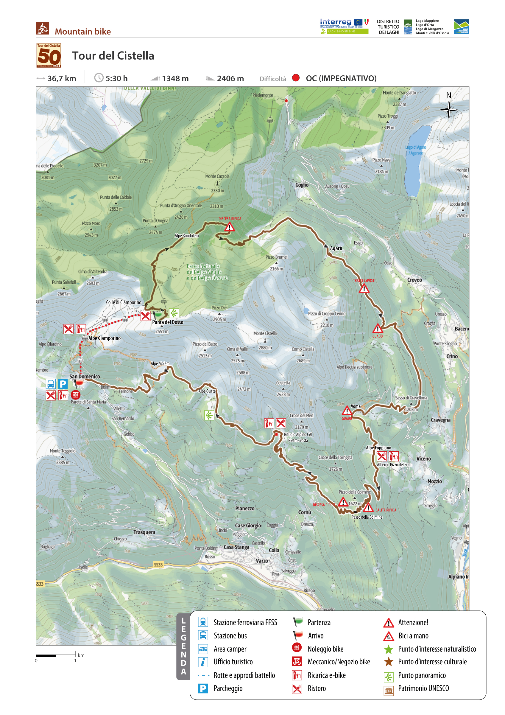
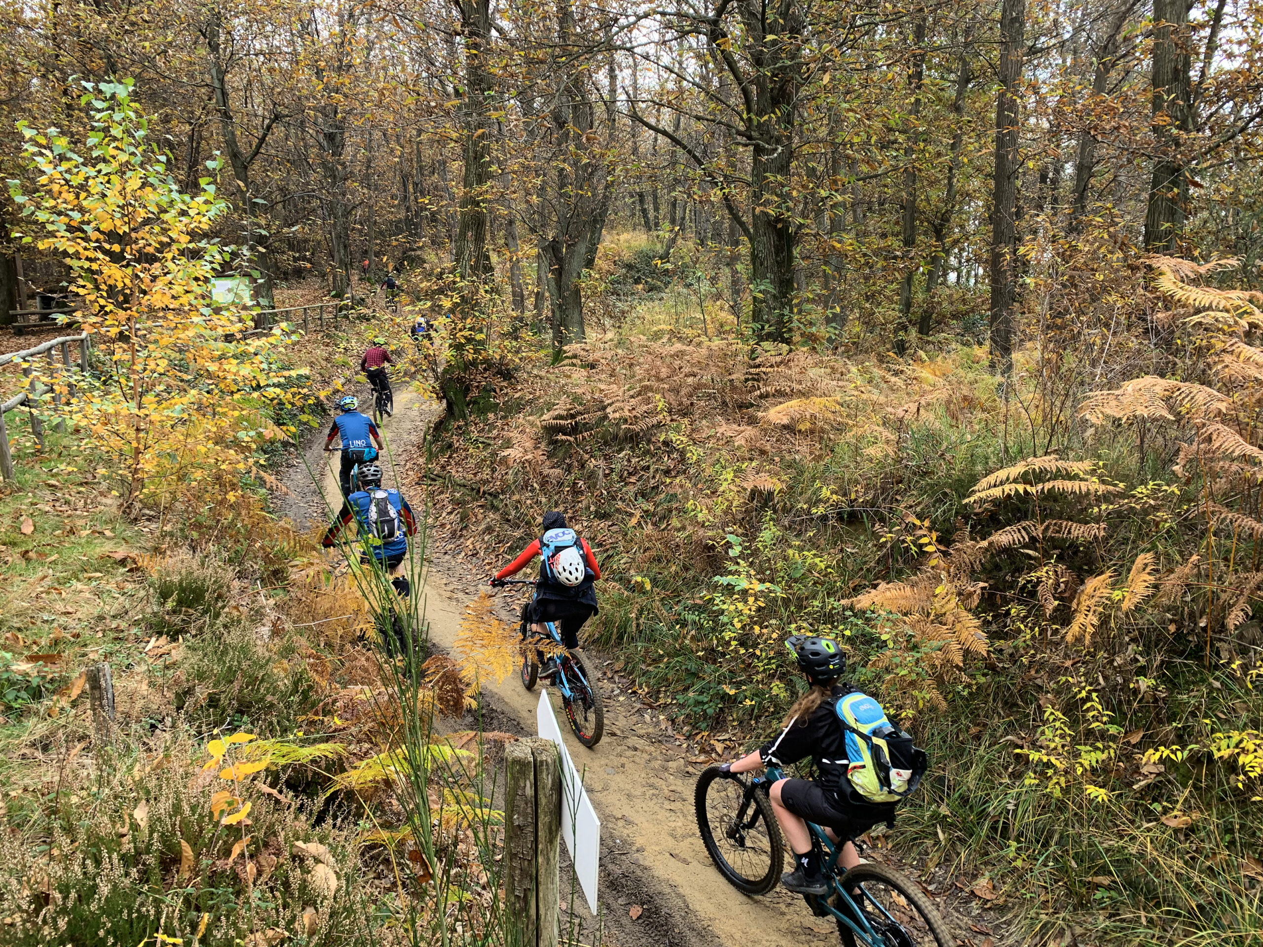
A 38-kilometer loop of extraordinary interest around Monte Cistella, the iconic mountain of Alta Ossola
CISTELLA MTB TOUR
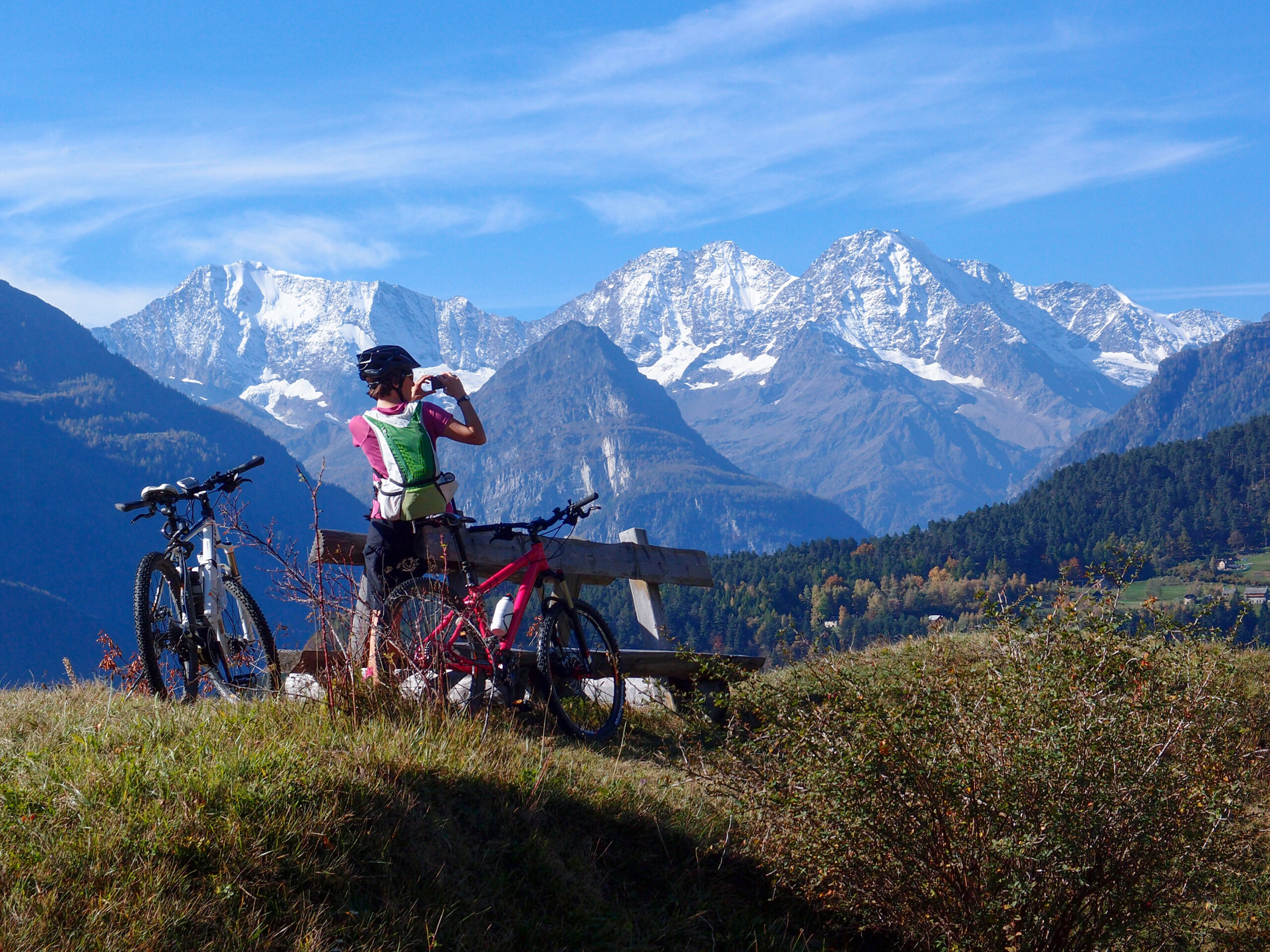
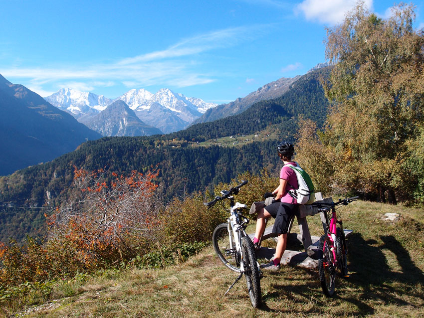
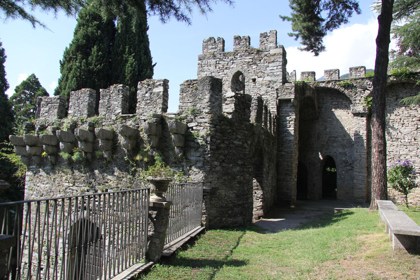
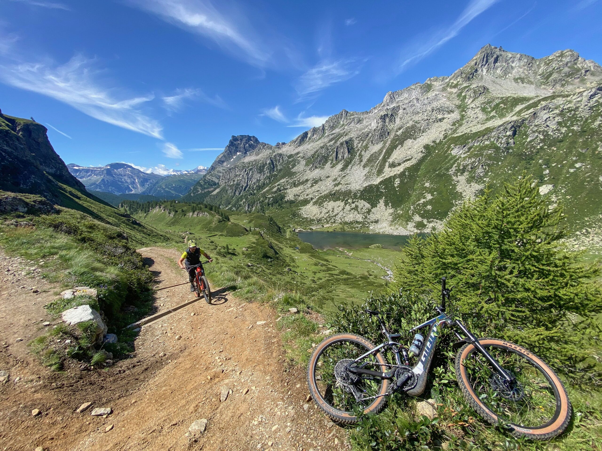
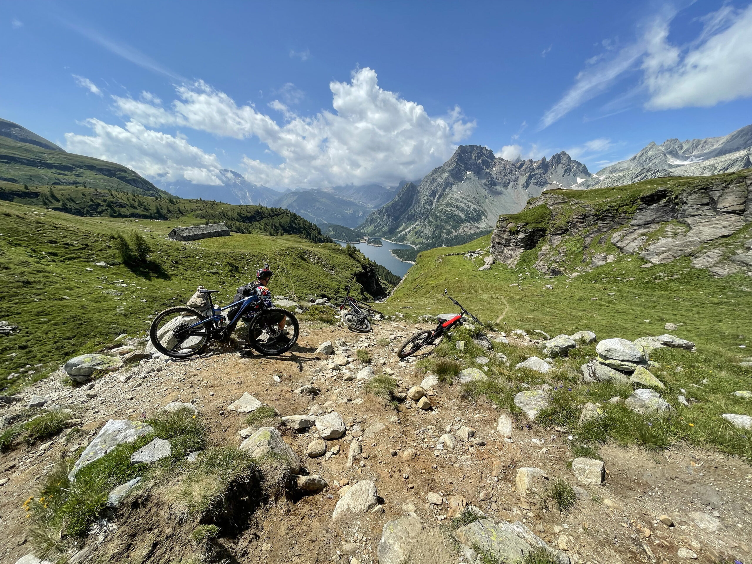
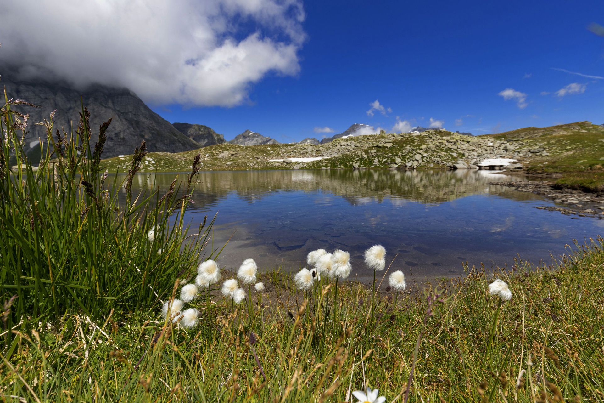
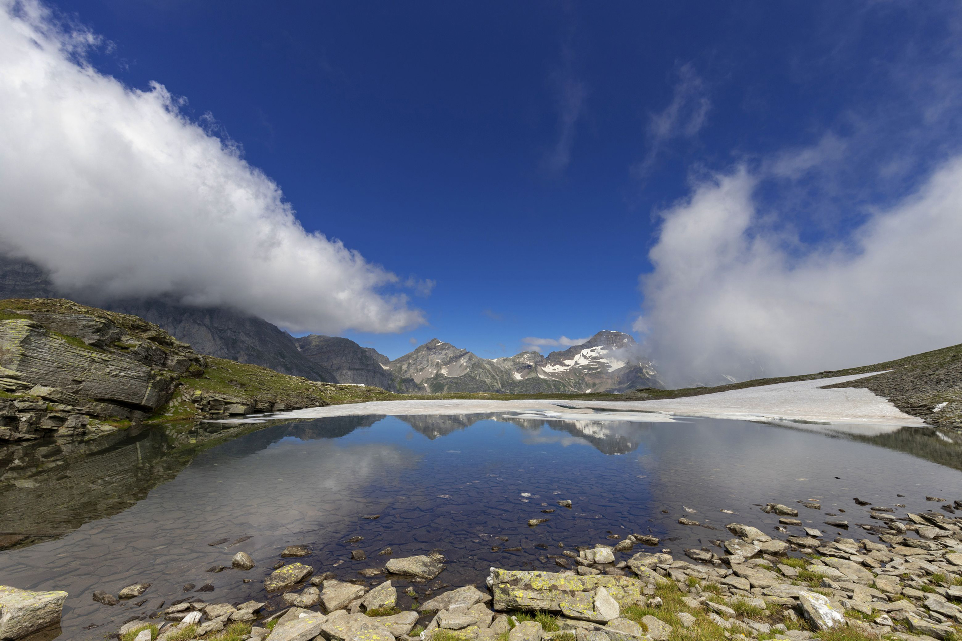
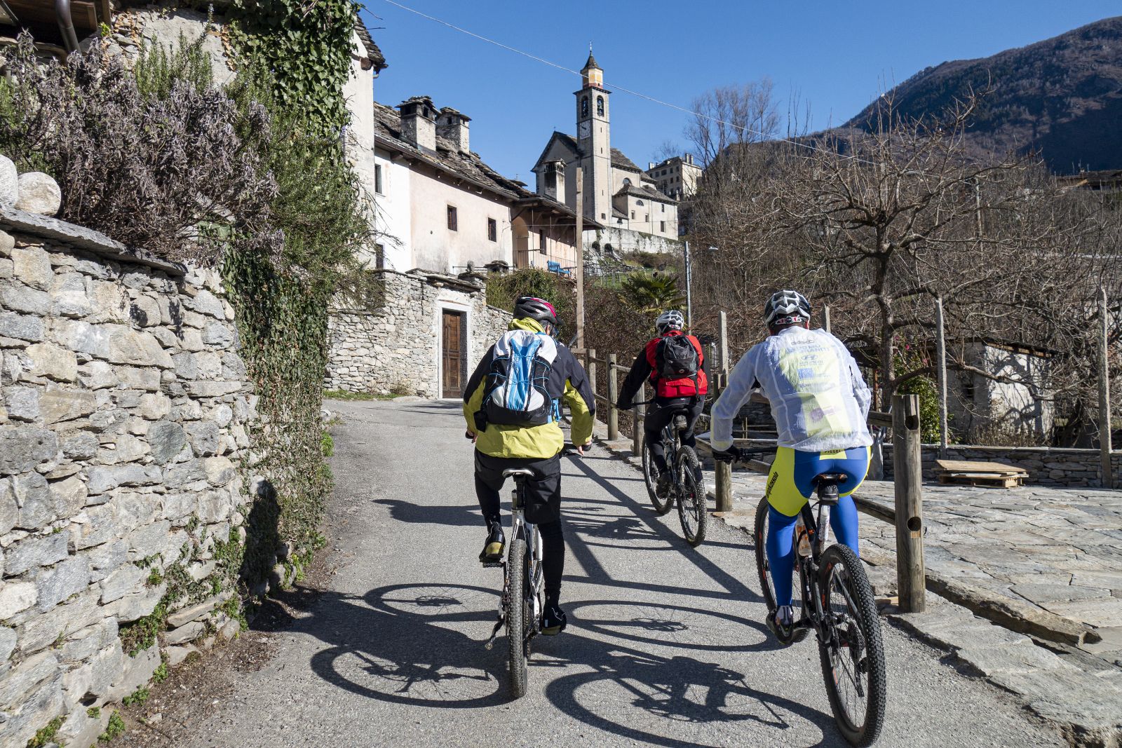
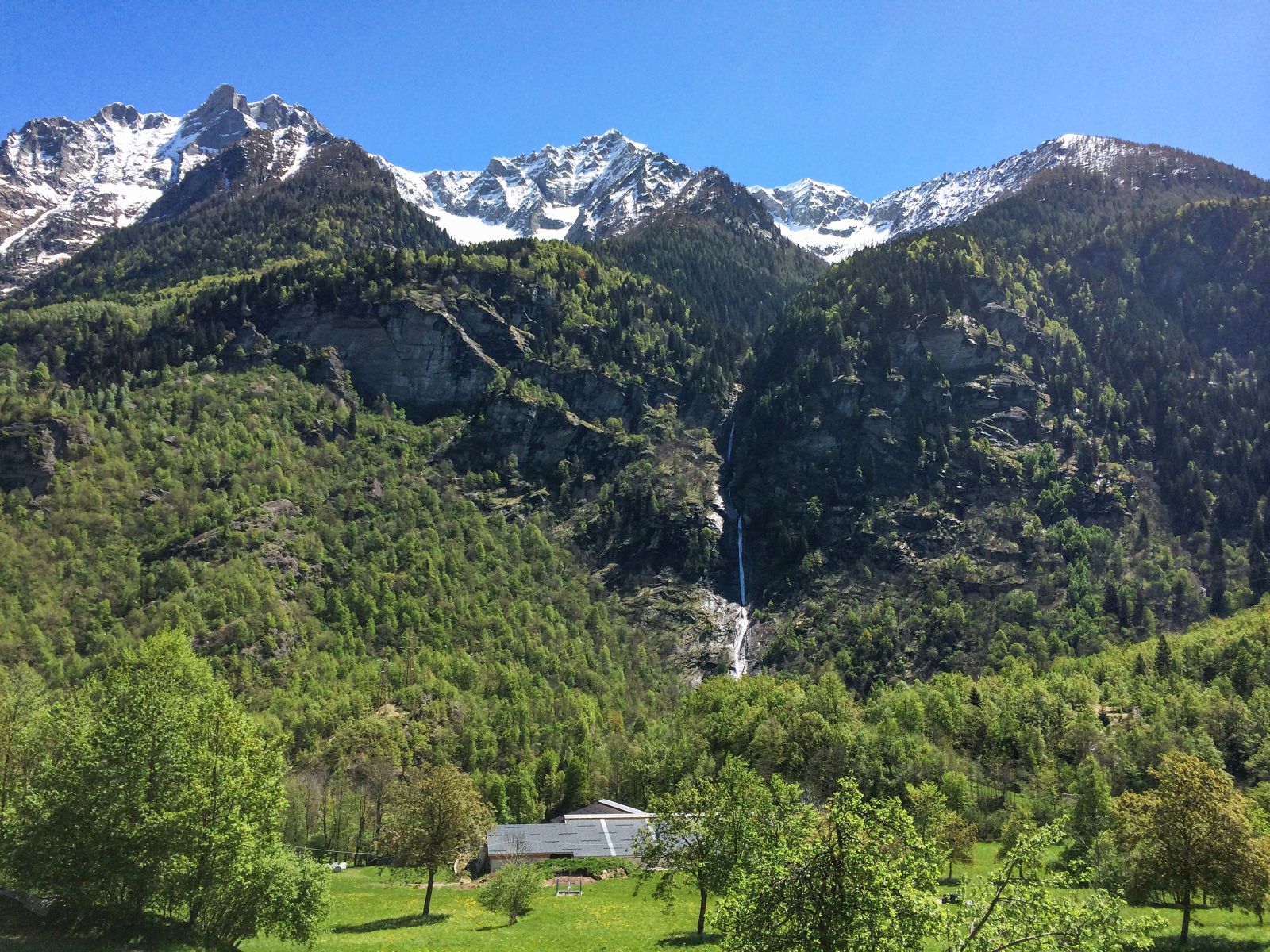
Valle Divedro
Route description
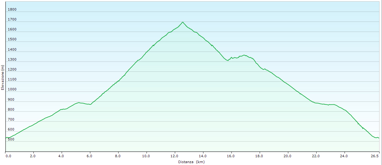
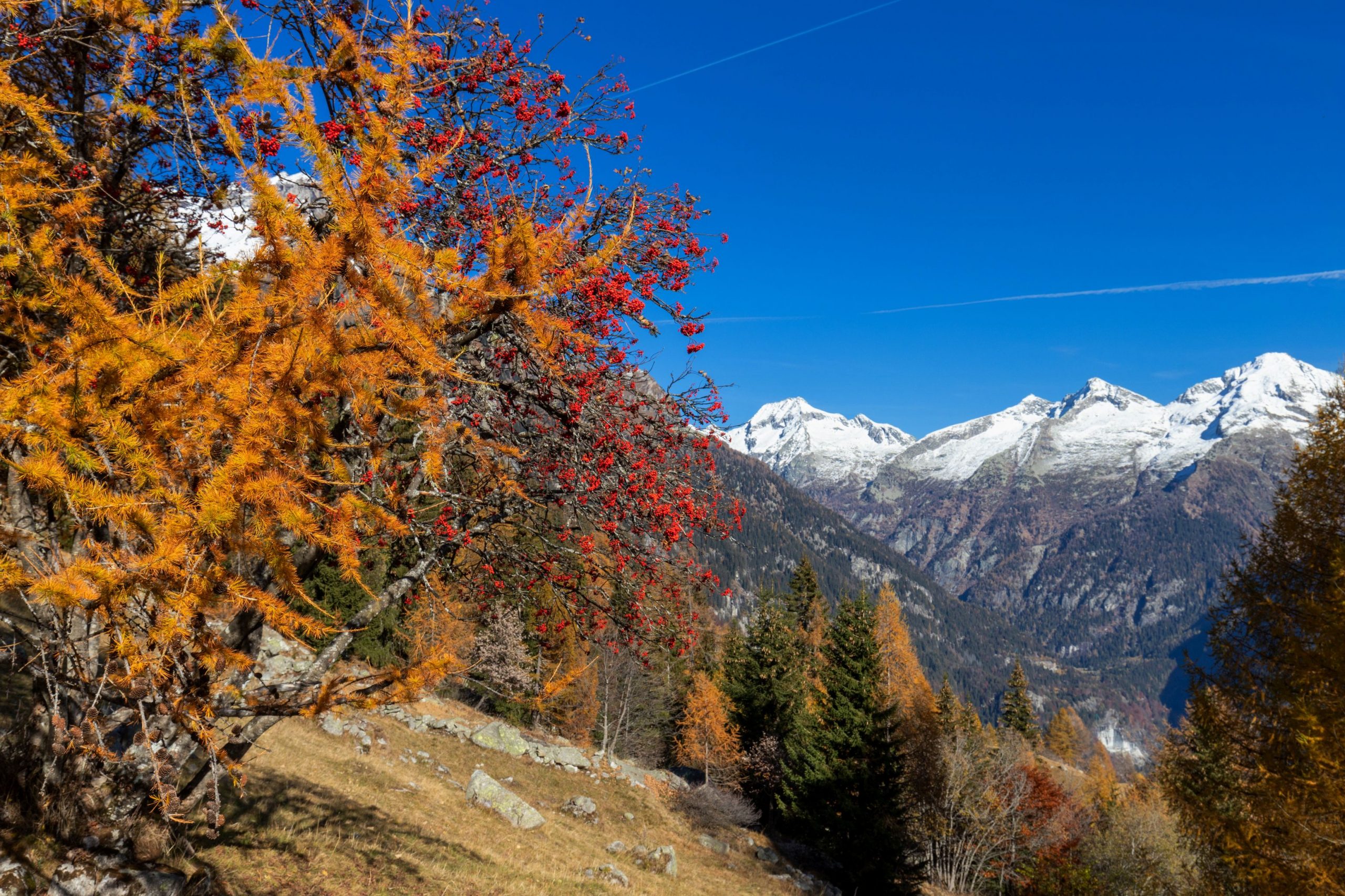
The Cistella MTB Tour is a 38-kilometer loop of extraordinary interest around Monte Cistella, the iconic mountain of Alta Ossola to which arcane and mysterious legends are linked: the witches of Cistella are still etched in the memory of Ossolans. The plateau was regarded with terror as “the grand ballroom of Messer lo Diavolo.”
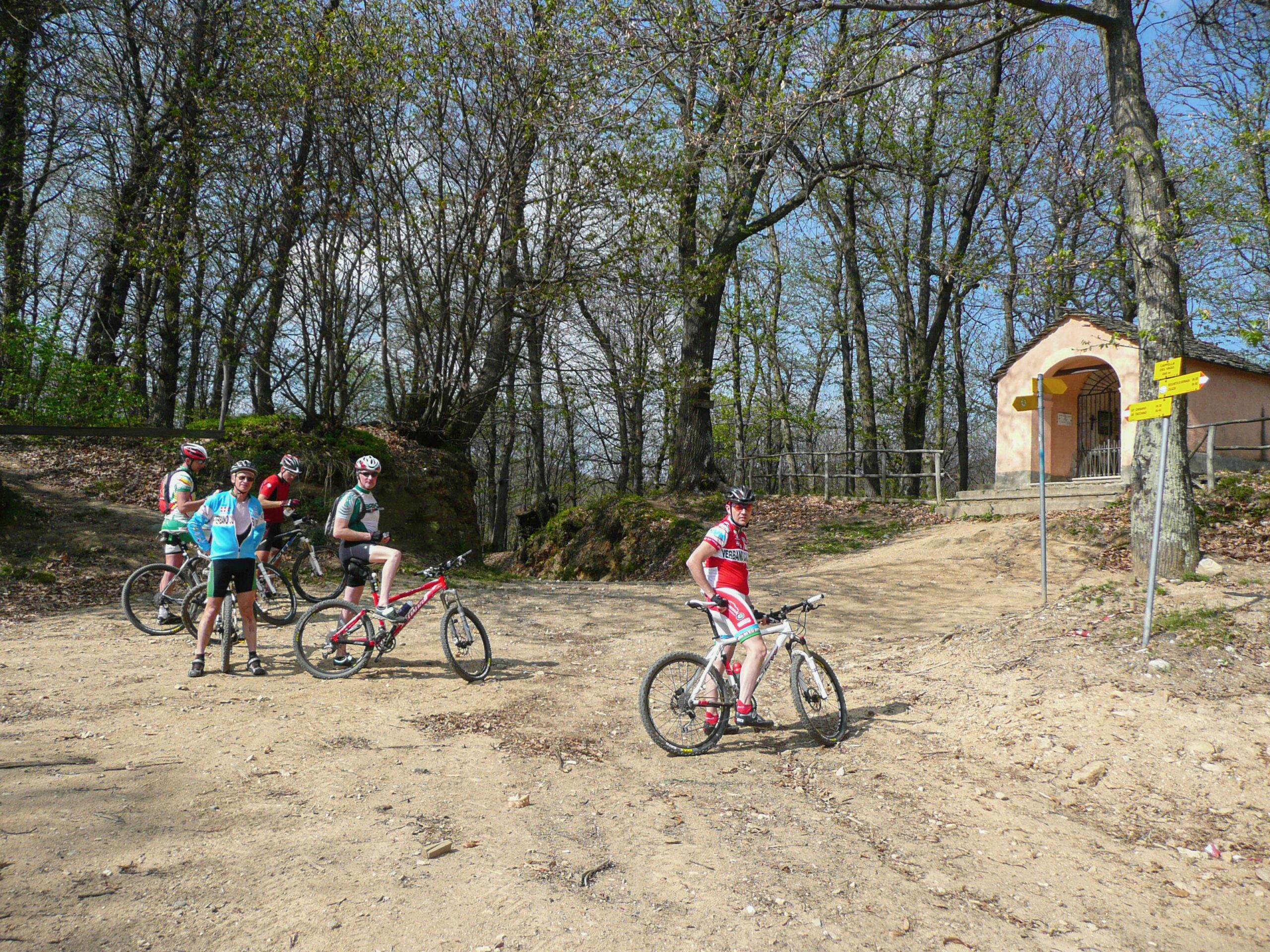
It involves three municipalities in Alta Ossola (Varzo, Crodo, and Baceno). The route stretches along an existing network of agro-sylvo-pastoral and consortium trails and tracks.
The loop tour can be approached starting from two locations: San Domenico (municipality of Varzo), which can also be reached by public transport, or Foppiano (municipality of Crodo), which is not served by public transport but allows you to immediately tackle the most challenging section of the entire tour with fresh forces: the climb to the Colmine Pass.
Back to the list of routes
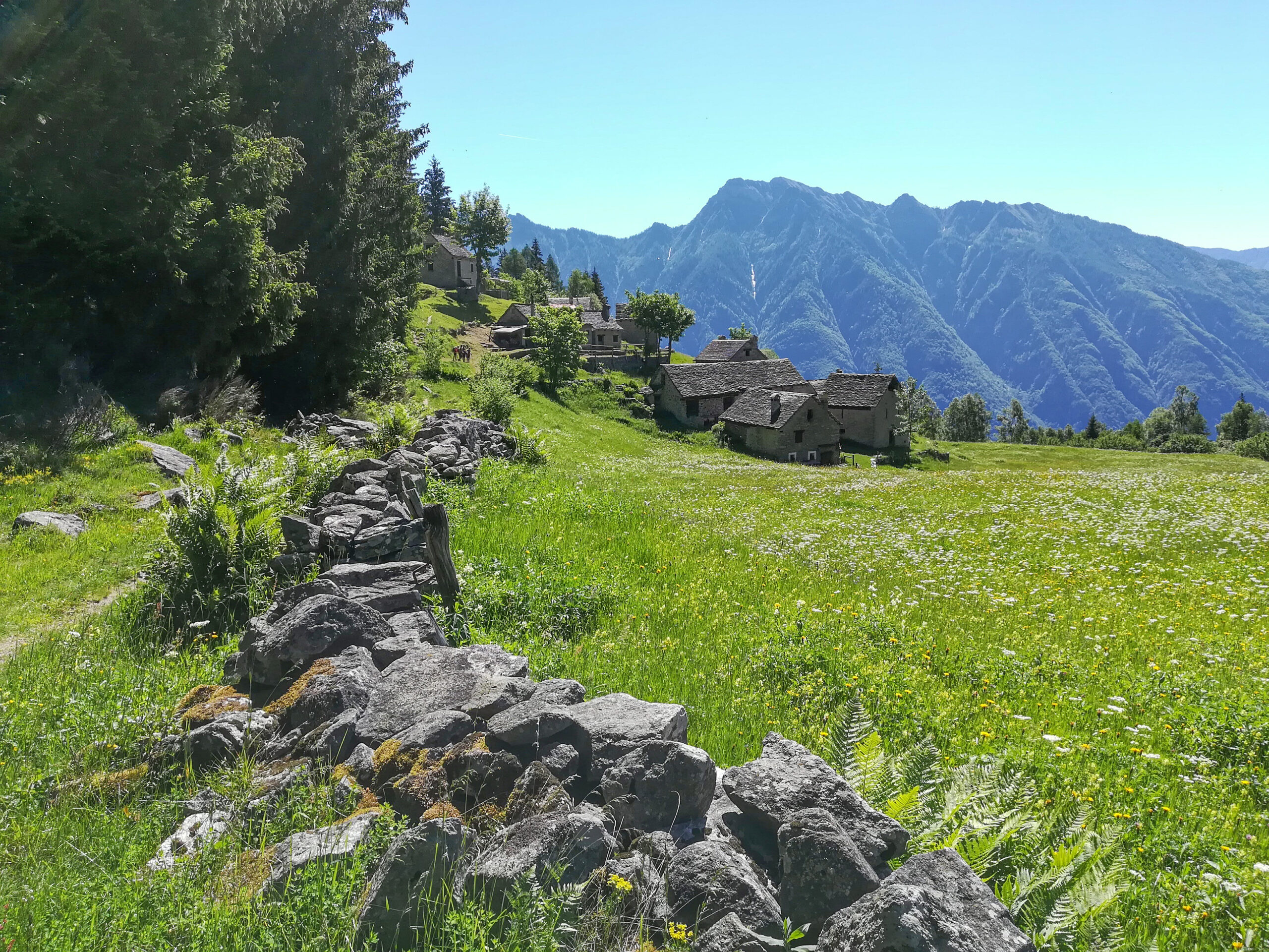
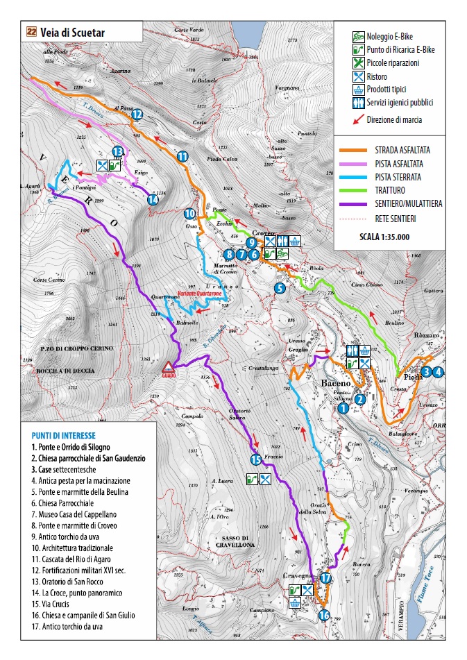
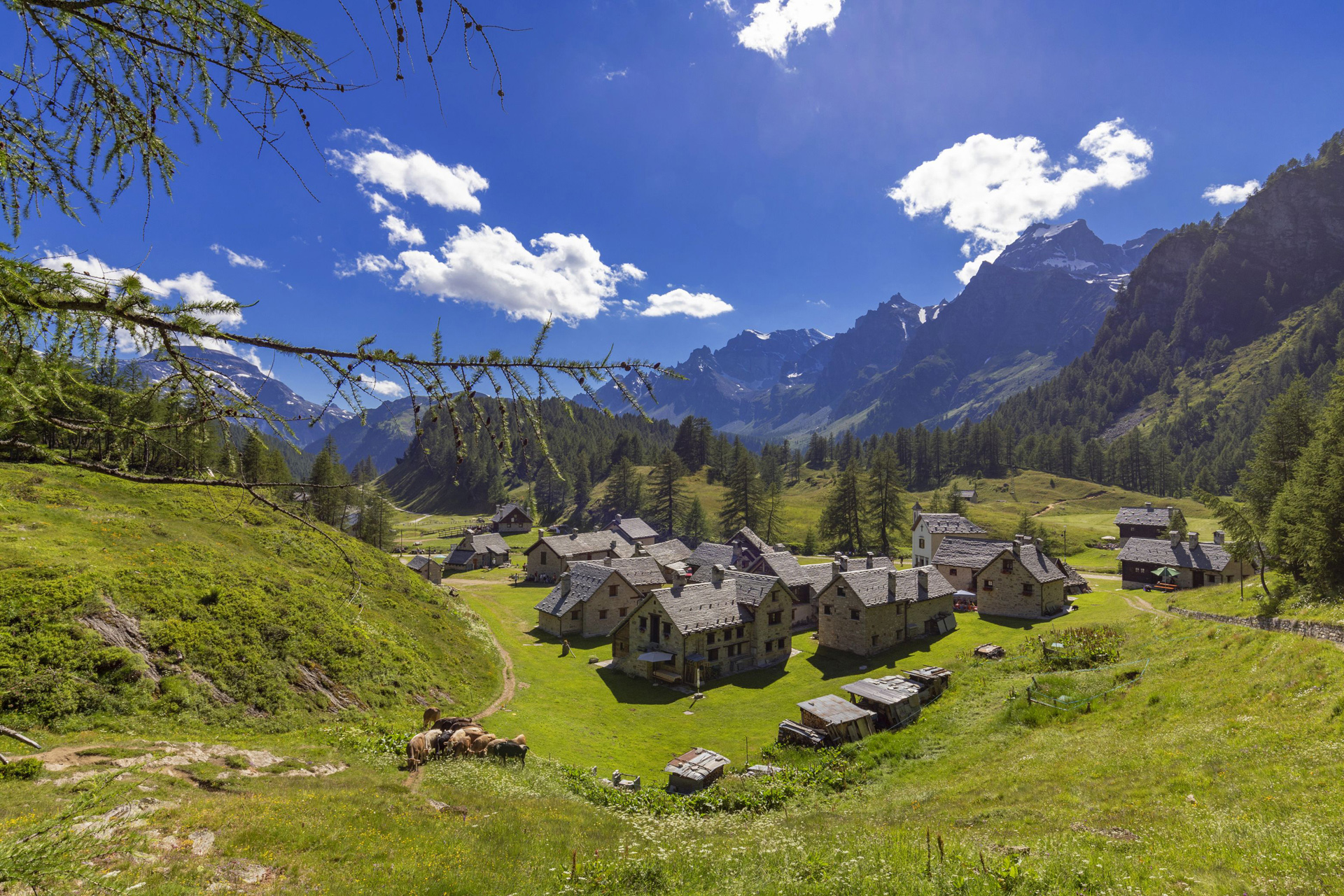
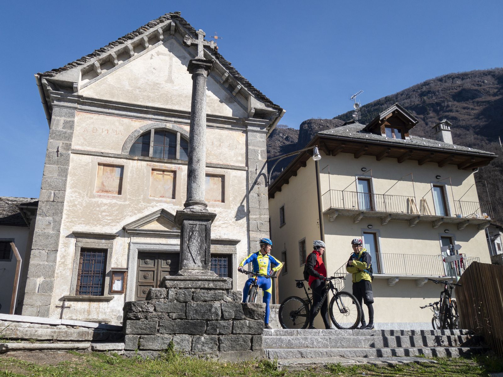
Between Baceno, Esigo and Cravegna
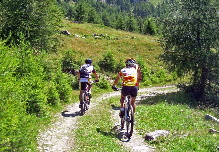
“VEIA DI SCUETAR”, LA VIA DEGLI SCOIATTOLI
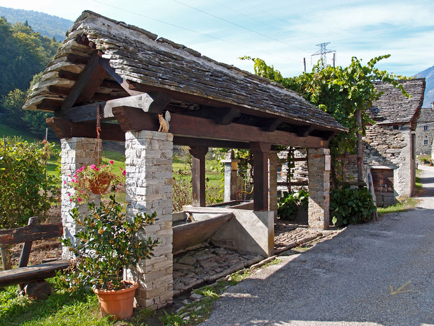
Valle Antigorio
Route description
SEASON From May to October
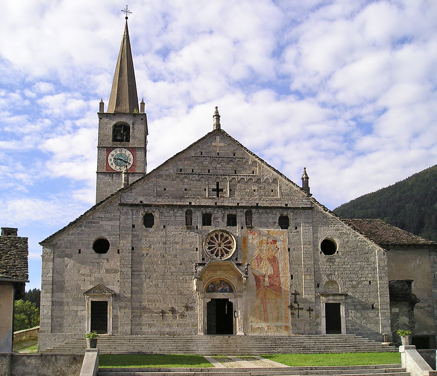
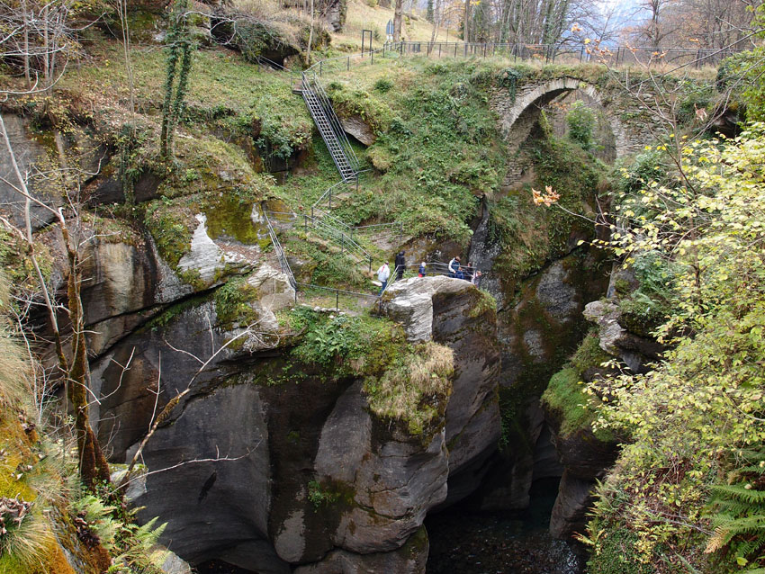
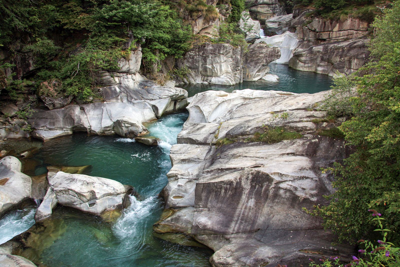
You start from Baceno and climb to Croveo along the provincial road. Behind the parish church of Croveo you take a mule track which leads to the bridge of the potholes of Croveo, spectacular forms of erosion where there is an observation point. At the end of the bridge you turn right for Osso and from here you continue on the provincial road until shortly before Goglio where, at a cement arch bridge, part of the farm road passable only by farmers and which climbs to Esigo, then Ca’t Fausc holiday farm and finally reaches Pontigei and Agaru. From here you leave the farm track that climbs to Val Bondolero and set off for Cravegna taking the so-called Via di Scuetar (Road of the Squirrels) a track halfway up the slope which is normally wide but some stretches, especially in the ravines, are narrower and little cycling can be done. The last stretch of mule track is a beautiful Via Crucis (Way of the Cross) with steps and finally you come to Cravegna. From the village you follow the road that goes down toward the bottom of the valley to the hairpin bend after the Selva oratory where you take mule track that arrives at the top part of Crino. A flat unmade track starts here and leads almost to Graglia. When you arrive at the tarmac road follow it for three hairpin bends and in the last stretch you go down a steep mule track to the sports field in Baceno and then to the central square of the town.
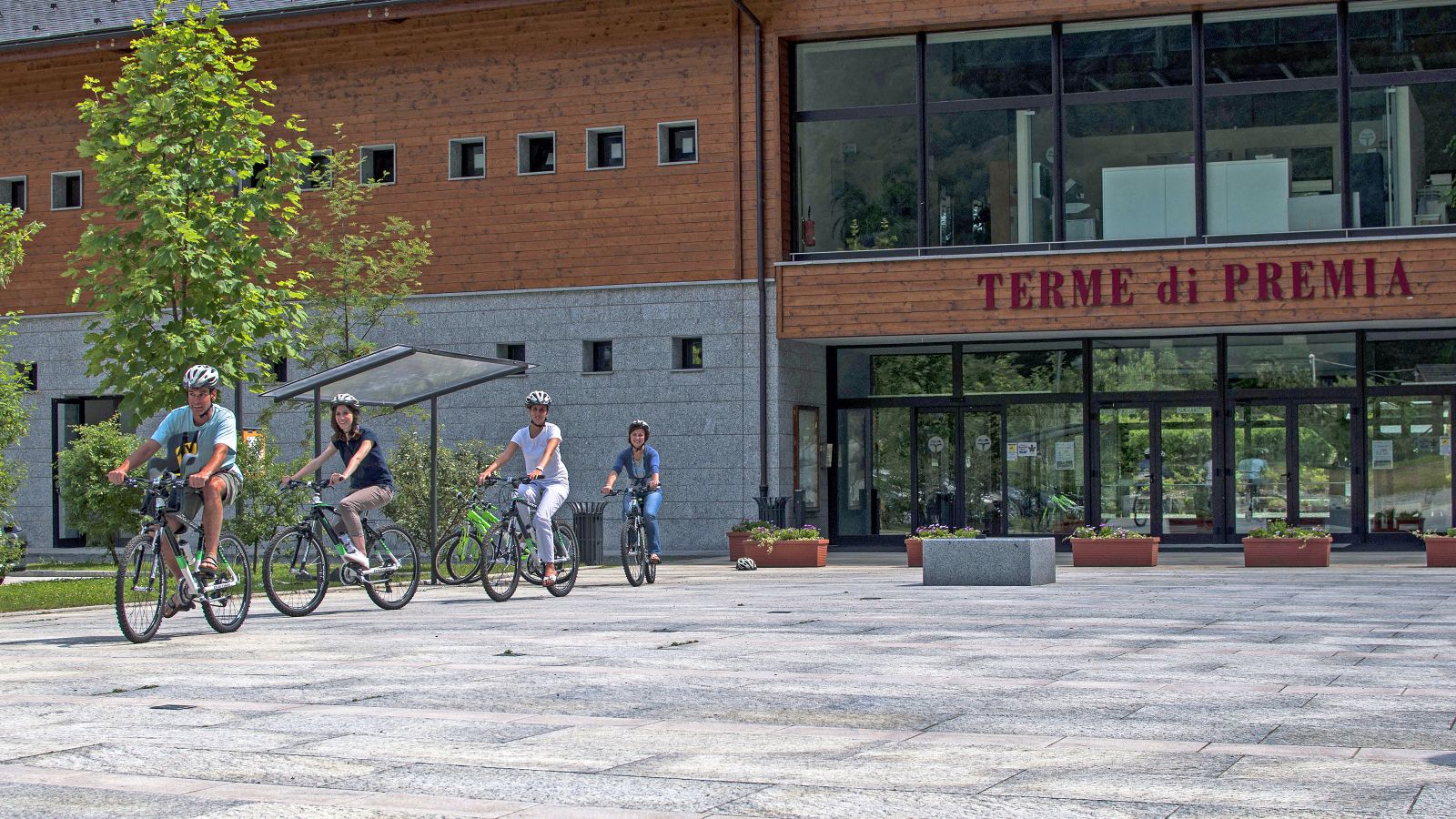
Hotel Edelweiss
Viceno, 7 – 28862 Crodo (VB)
Tel. +39 0324618791
www.albergoedelweiss.com
AUTHOR Alessandro Pirocchi
Back to the list of routes
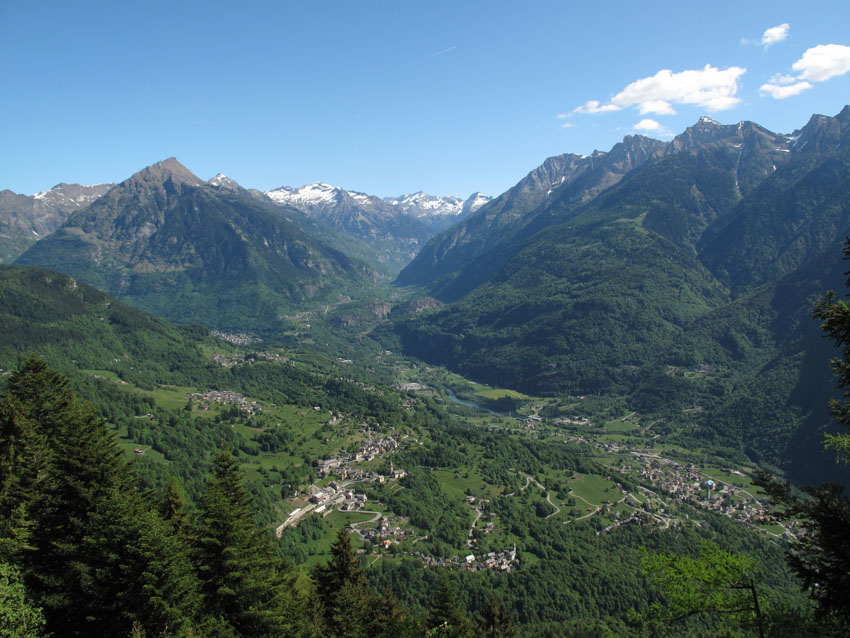
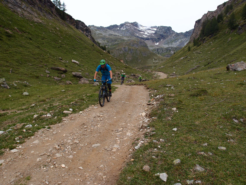
A beautiful round trip in Valle Antigorio on tarmac roads with low traffic
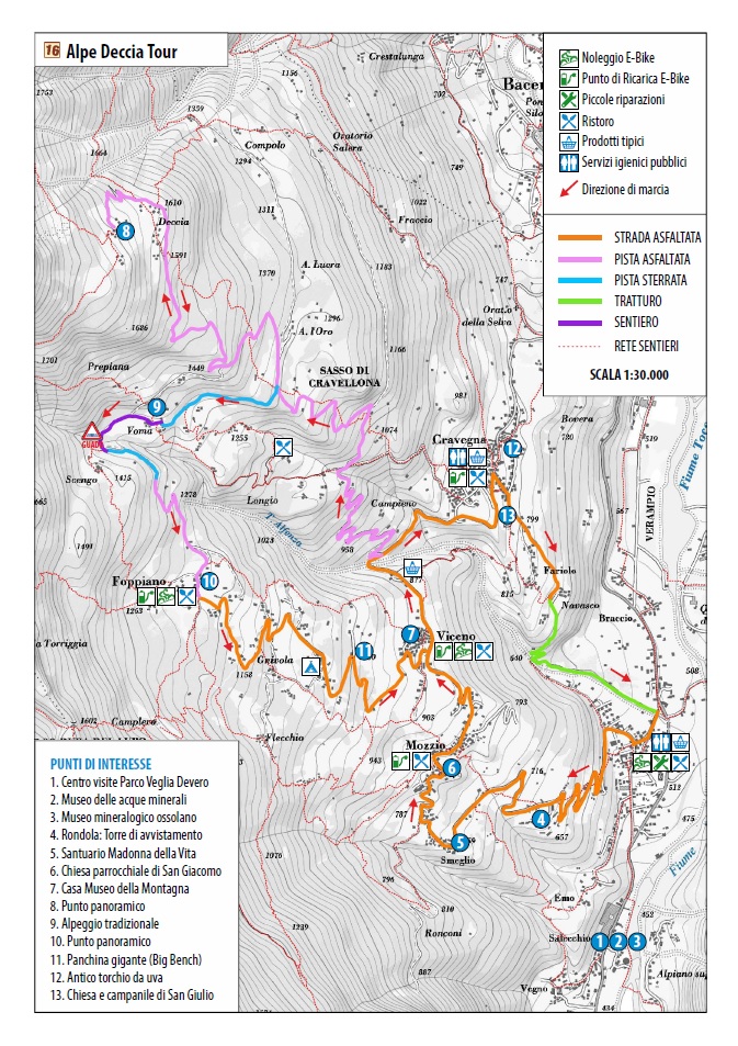
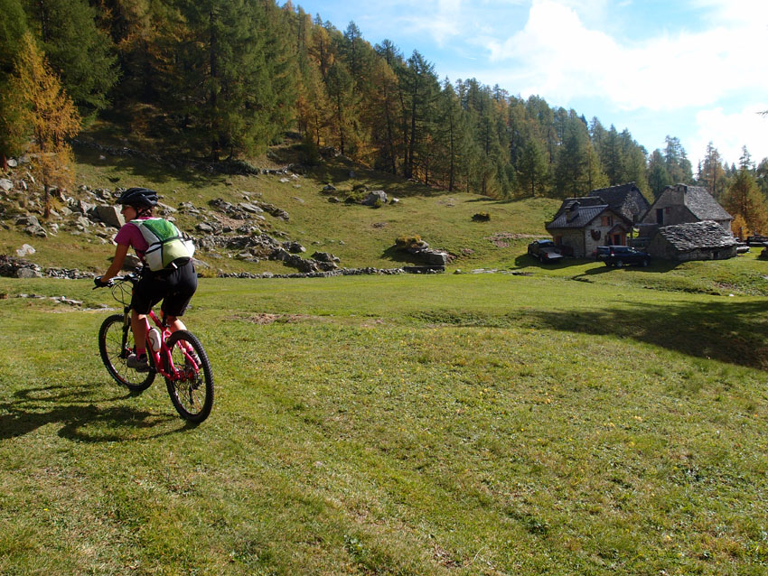
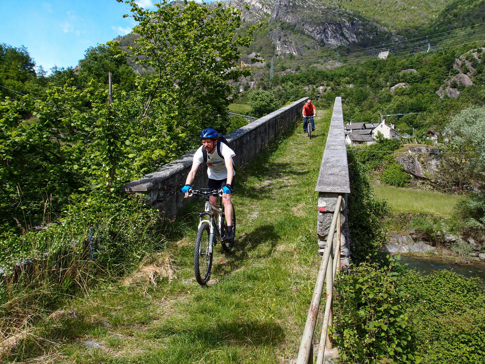
ALPE DECCIA TOUR
Valle Antigorio
Route description
SEASON From May to October
A beautiful round trip in Valle Antigorio on tarmac roads with low traffic and unmade farm tracks at the foot of Mount Cistella through pastures, well kept rural buildings and beautiful scenery.
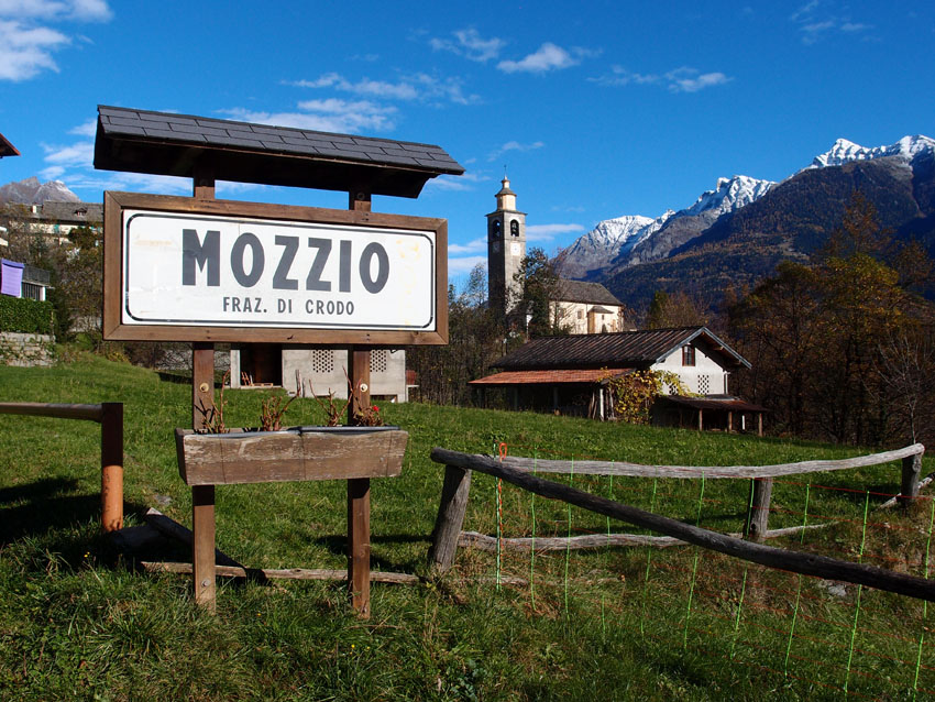
From the centre of Crodo take the road to Mozzio and Viceno which climb gradually through hairpin bends. From Viceno turn in the direction of Cravegna and immediately after the River Alfenza take the farm track for Deccia that continues to the Alpe. From Deccia you come back following the track and then take the turn off to Voma which is more or less flat. From Voma take a path between walls that leads to the vallone dell’Alfenza and ford the river (almost always dry). Immediately after the ford there is the beginning of a path that leads to Foppiano and from here, following the tarmac road, you return to Viceno. Continue to the church of Cravegna and take the road to Navasco. From here you take the wide mule track (path G11) which, after a couple of hairpin bends, leads to the bridge on the River Alfenza. Then you continue on a path, first unmade then tarmac, which brings you back to cross the Crodo – Mozzio road and soon after back to the starting point.
BIKE RENTAL
Albergo Edelweiss
Frazione Viceno, 7 – 28862 Crodo (VB)
tel.0324618791
www.albergoedelweiss.com
AUTHOR Alessandro Pirocchi
Back to the list of routes
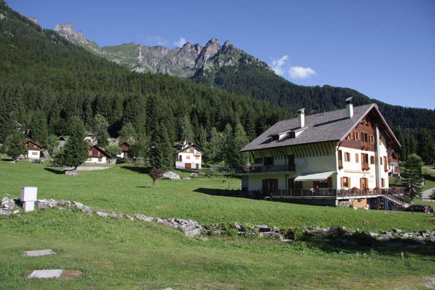
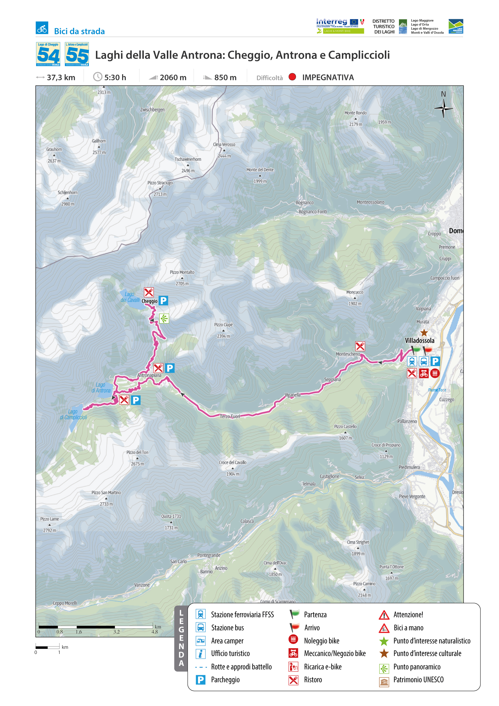
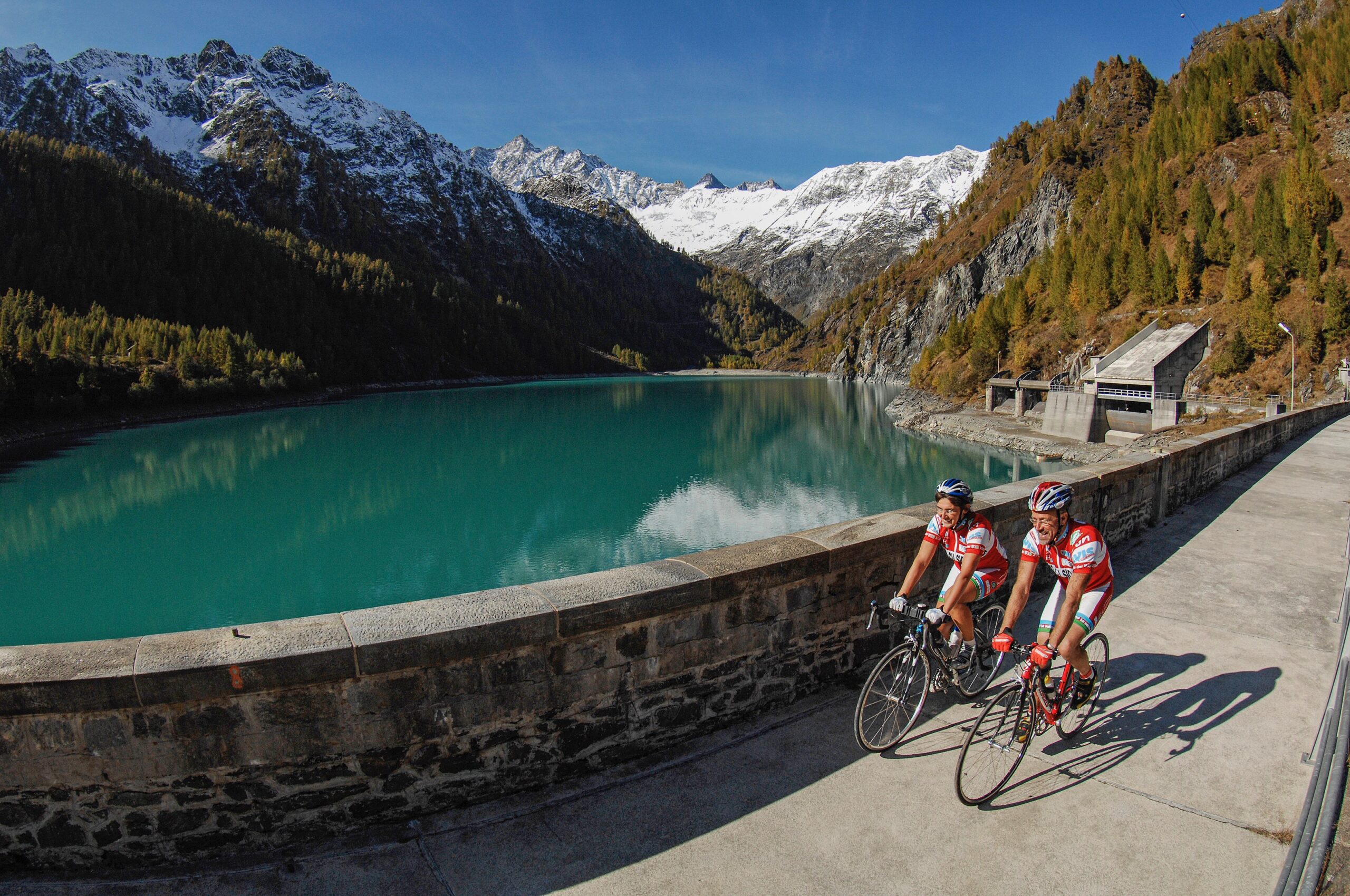
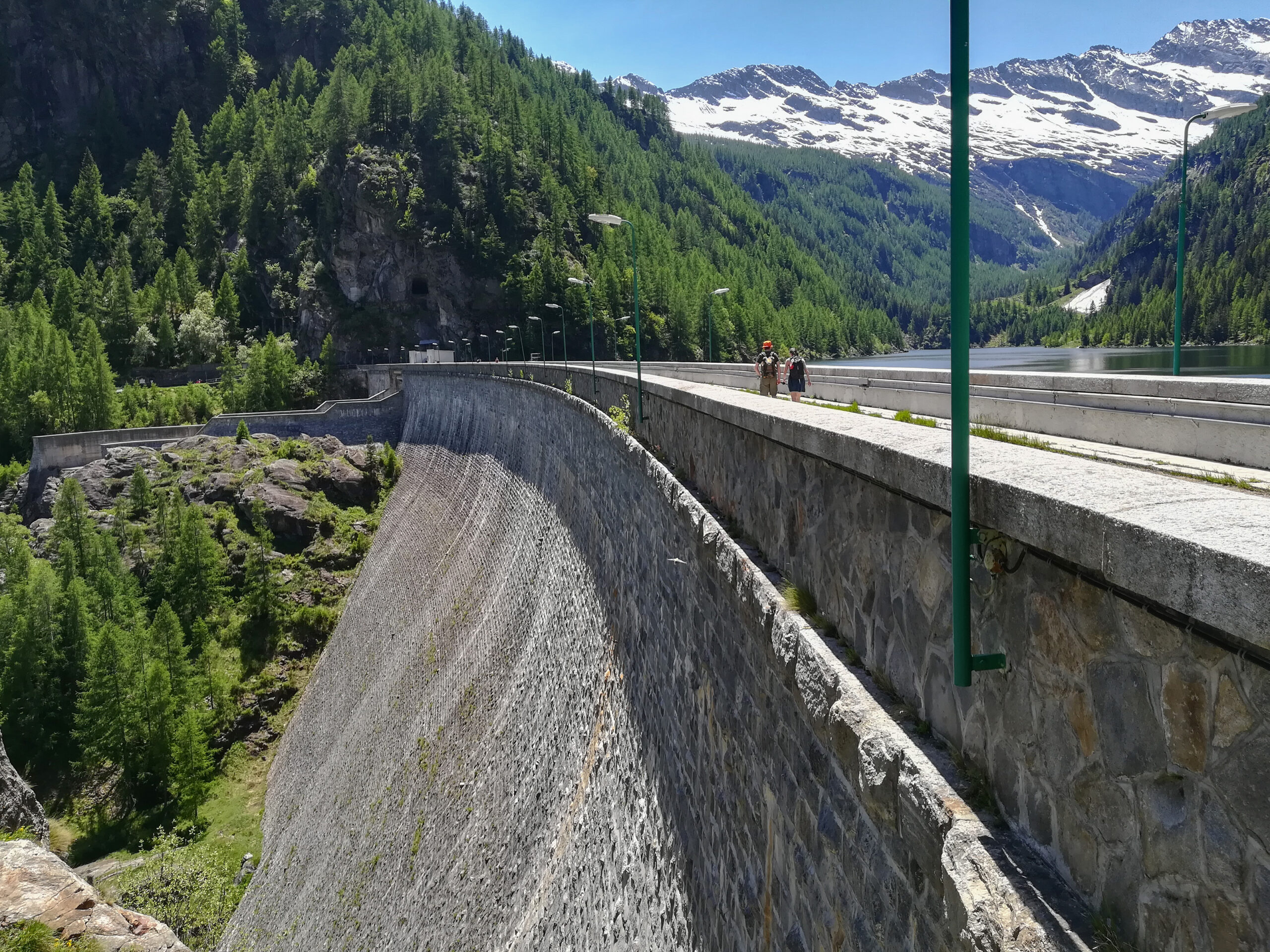
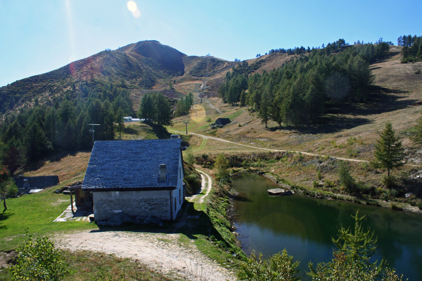
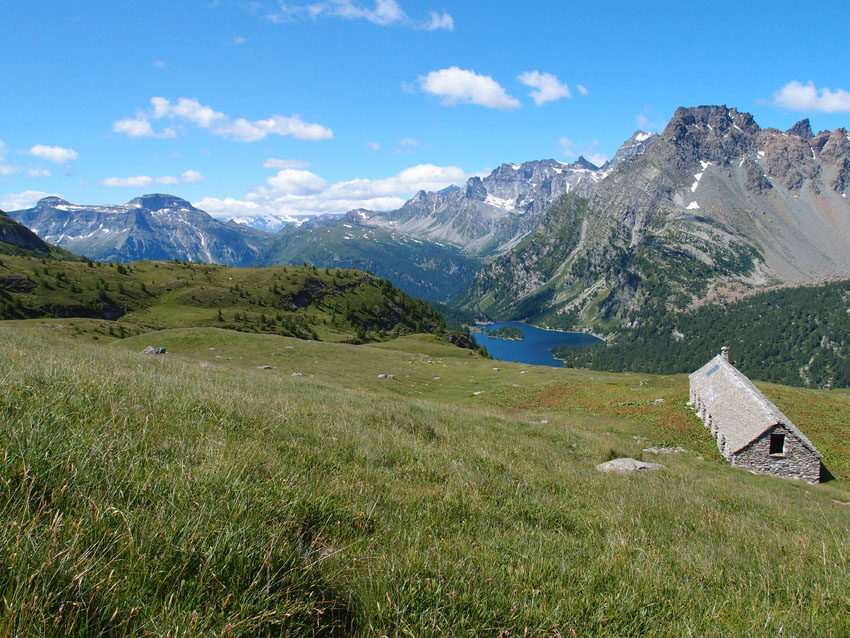
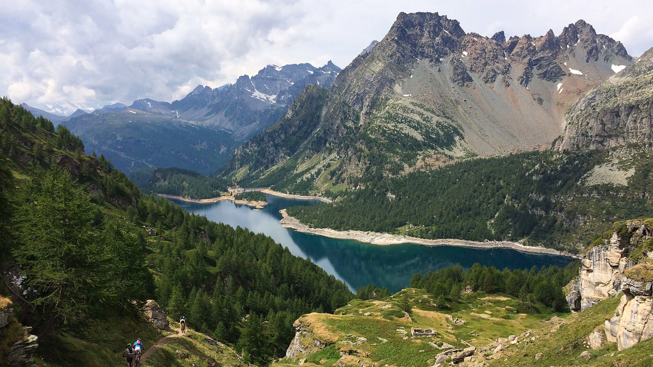
LAKES OF ANTRONA VALLEY
Valle Antrona
Route description
From the former steel capital of the Lower Ossola (Villadossola) to the lakes of Antrona, Campliccioli, and Alpe dei Cavalli (Cheggio), among the most beautiful pre-Alpine artificial lakes at the foot of the Andolla and Weissmies.
Back to the list of routes
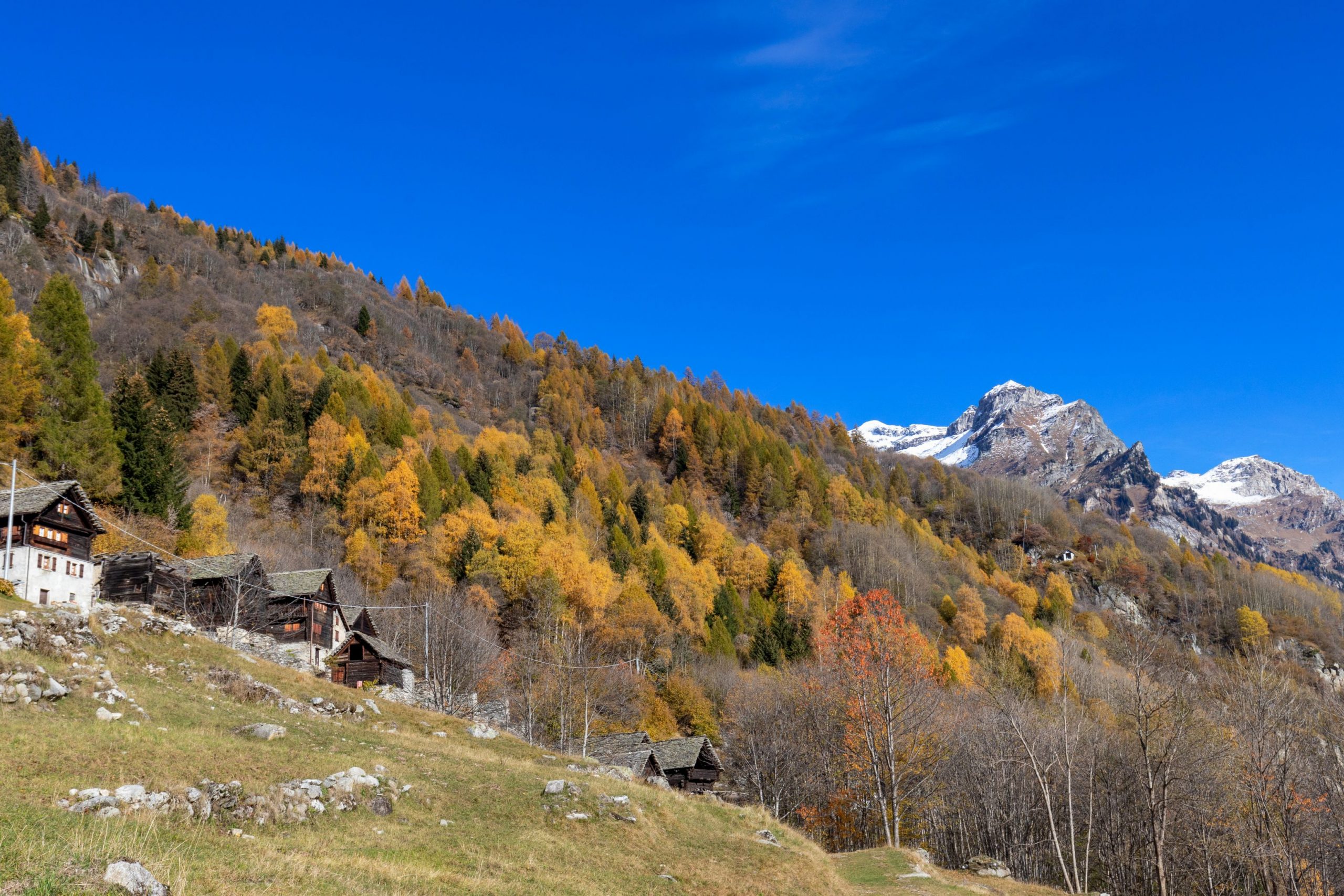
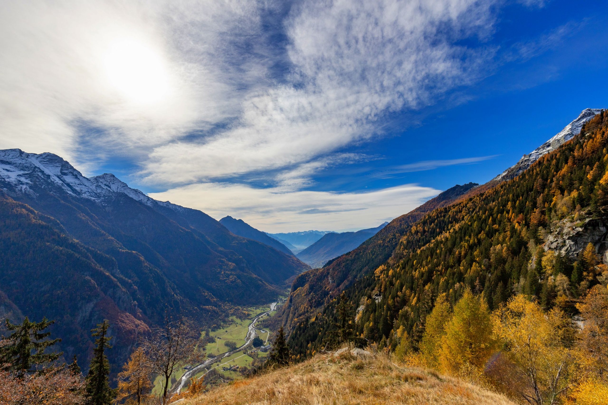
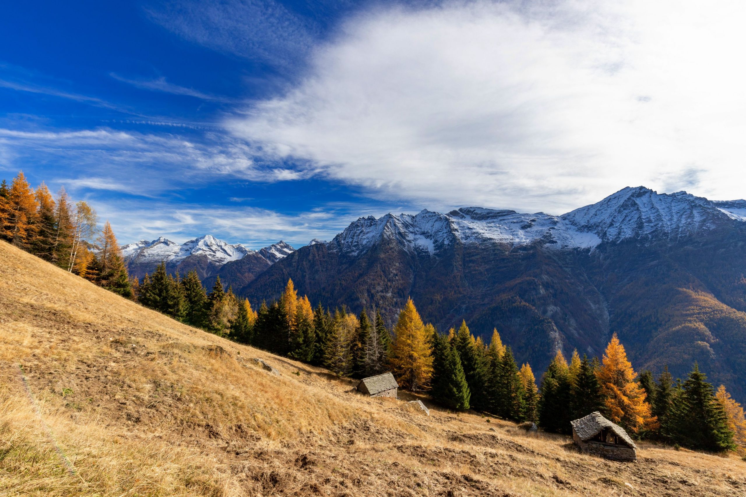
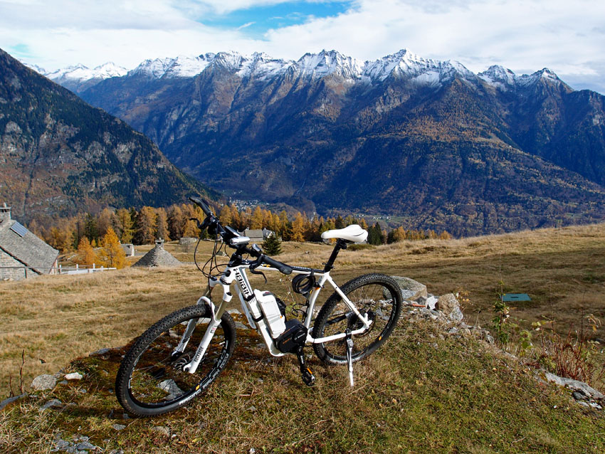
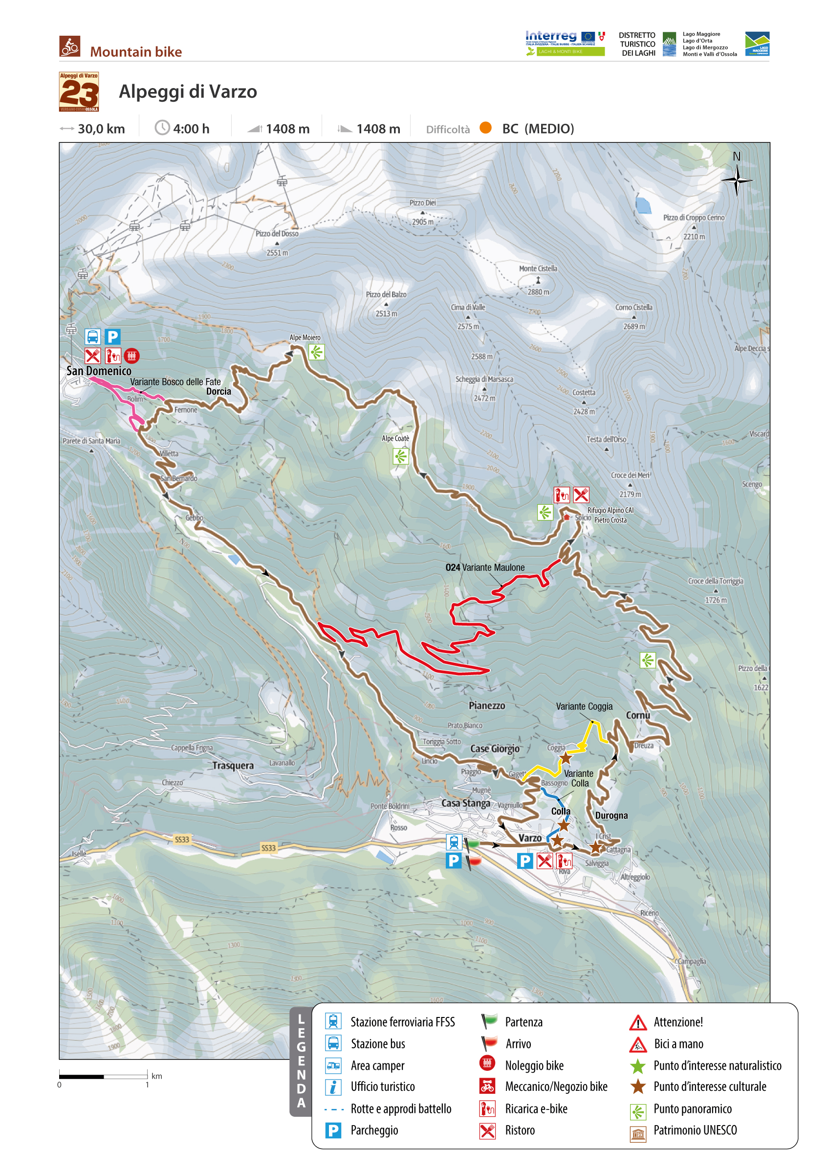
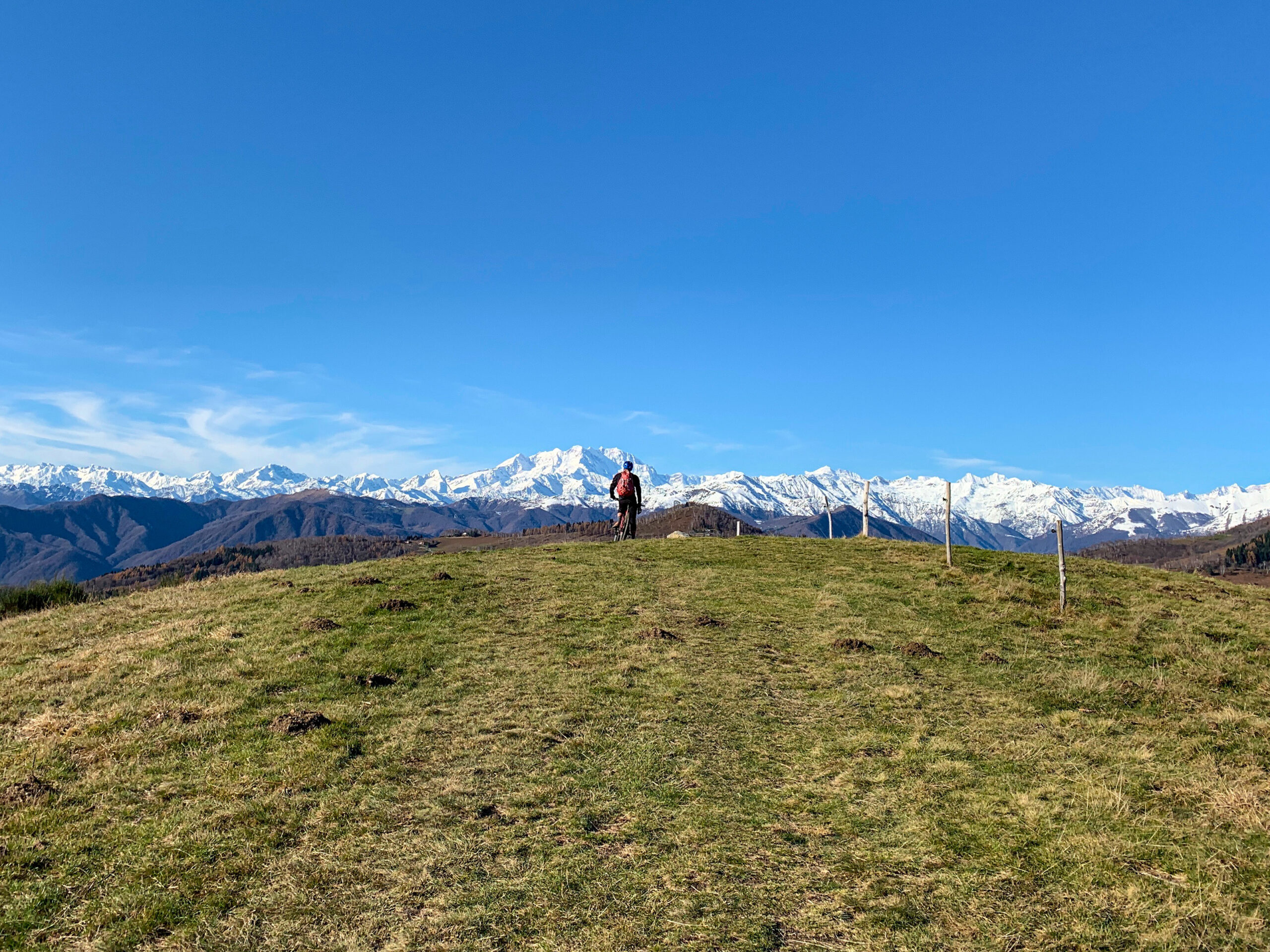
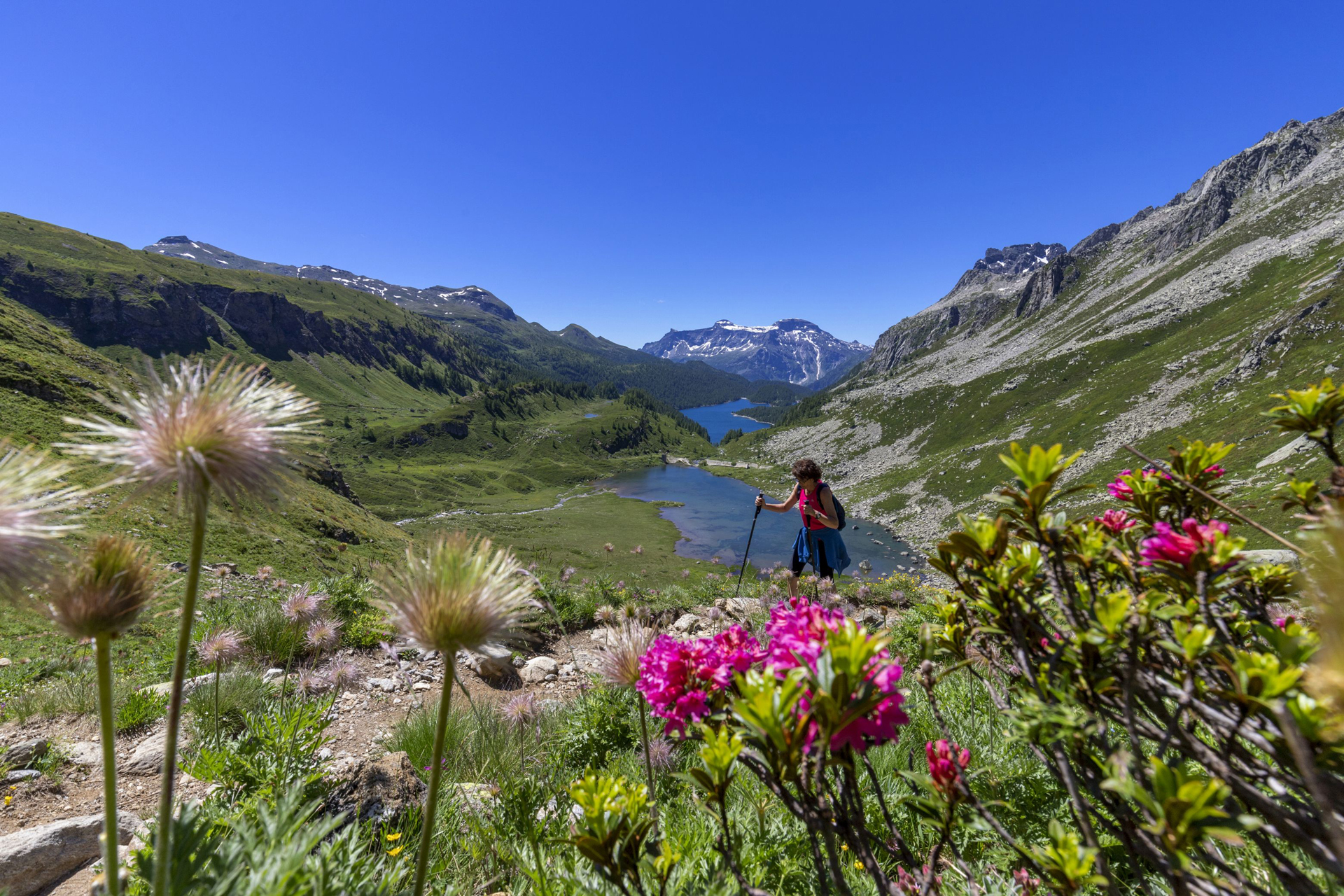
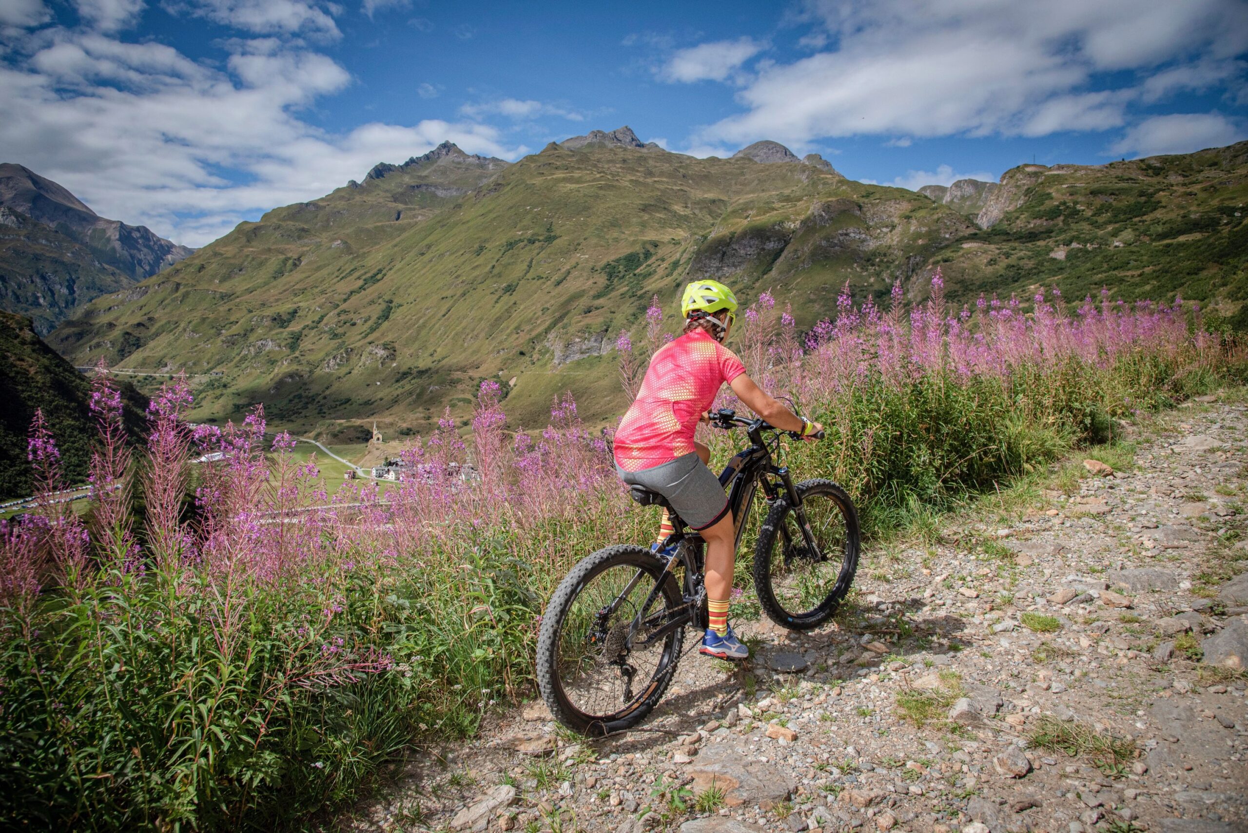
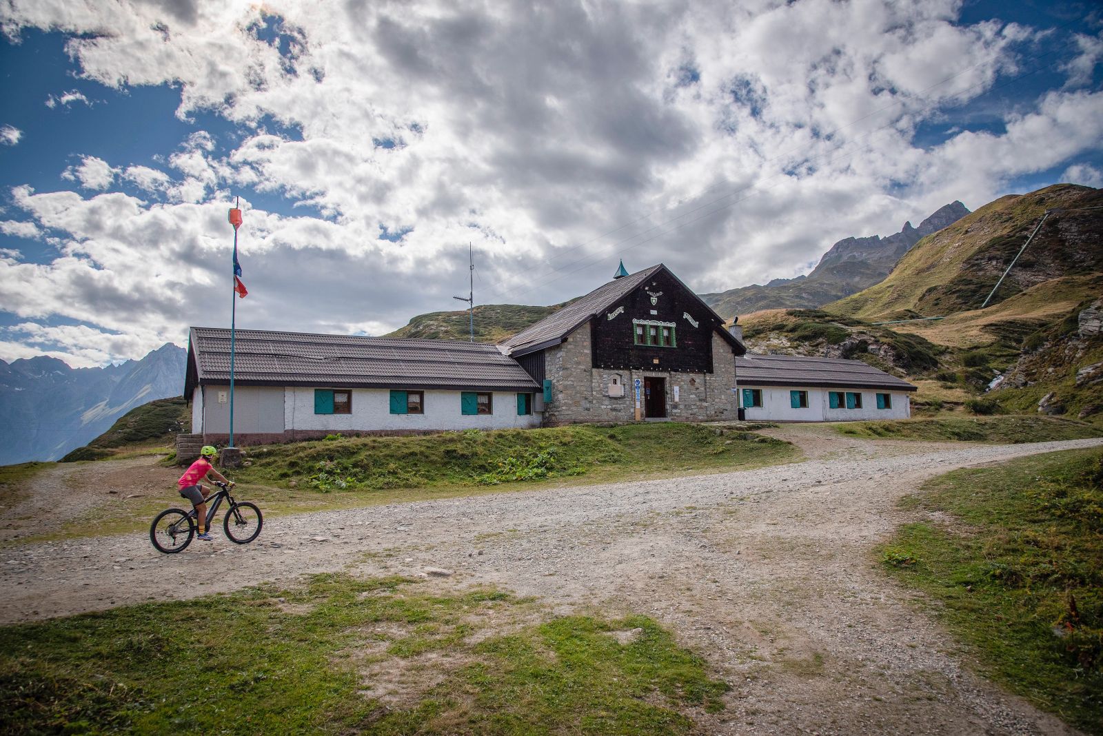
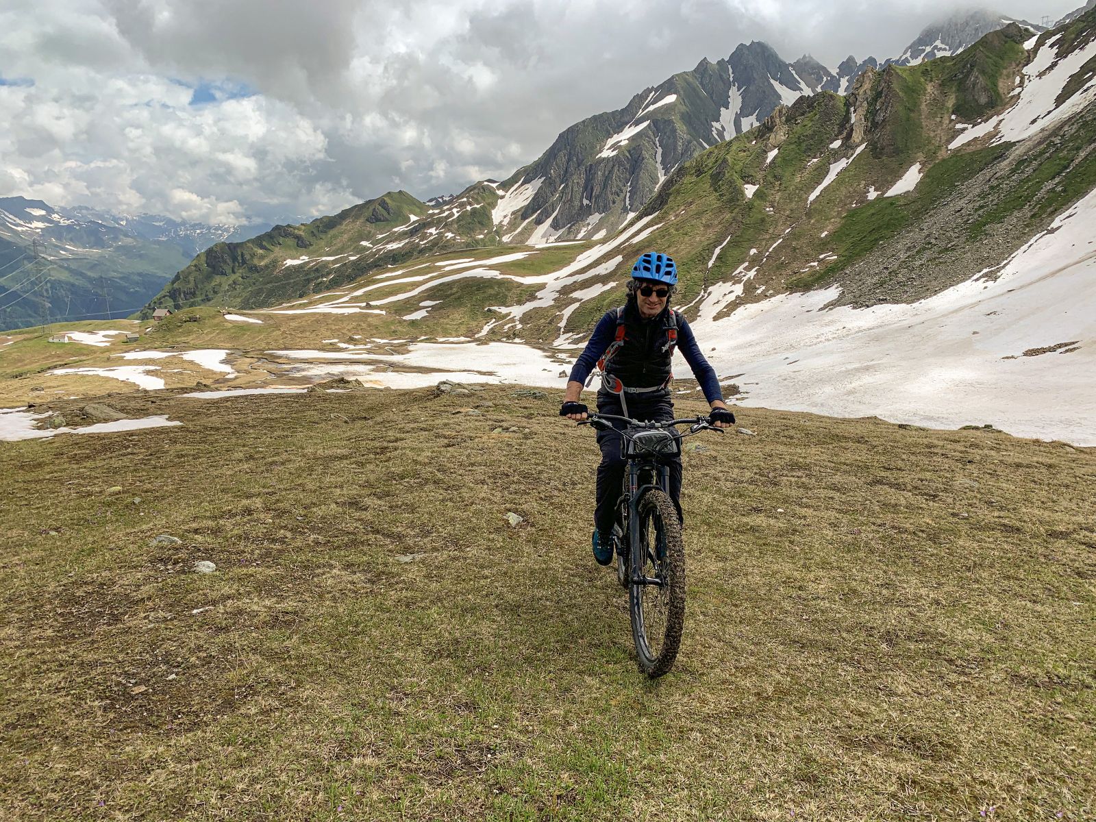
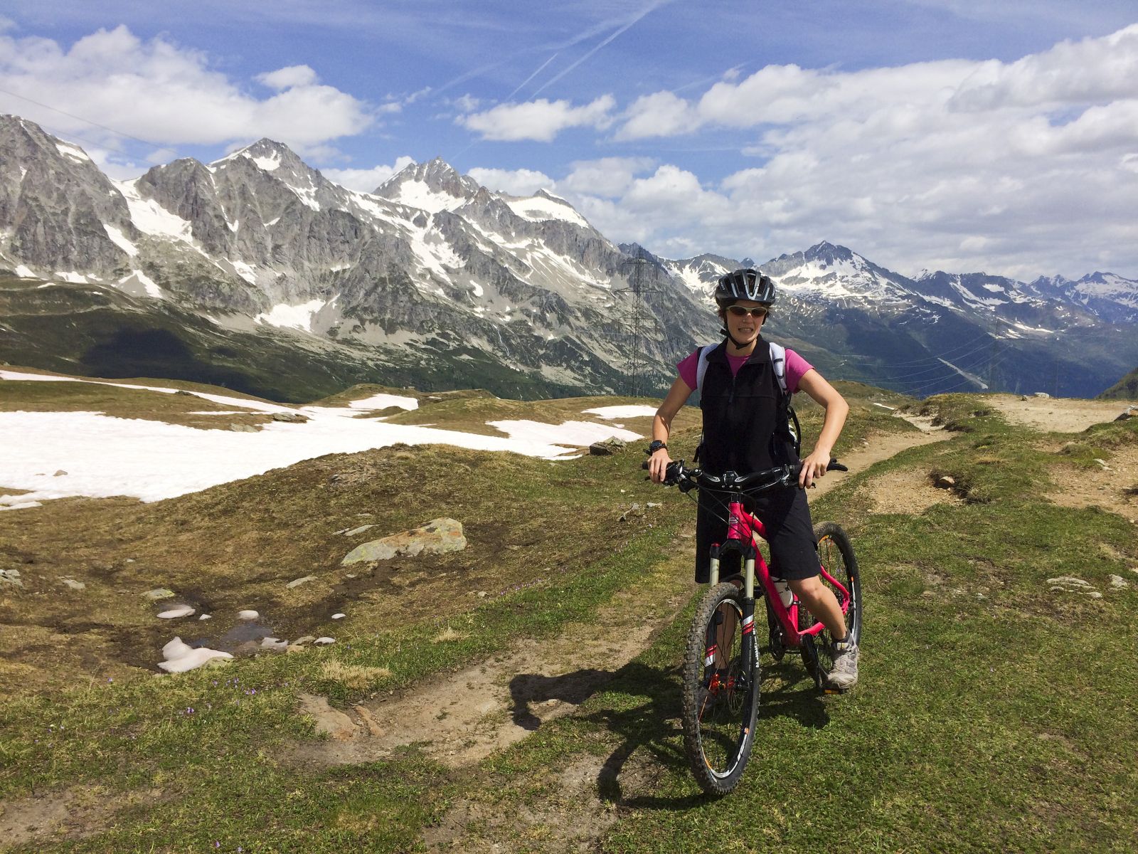
Particularly scenic loop tours on paved and dirt consortium trails
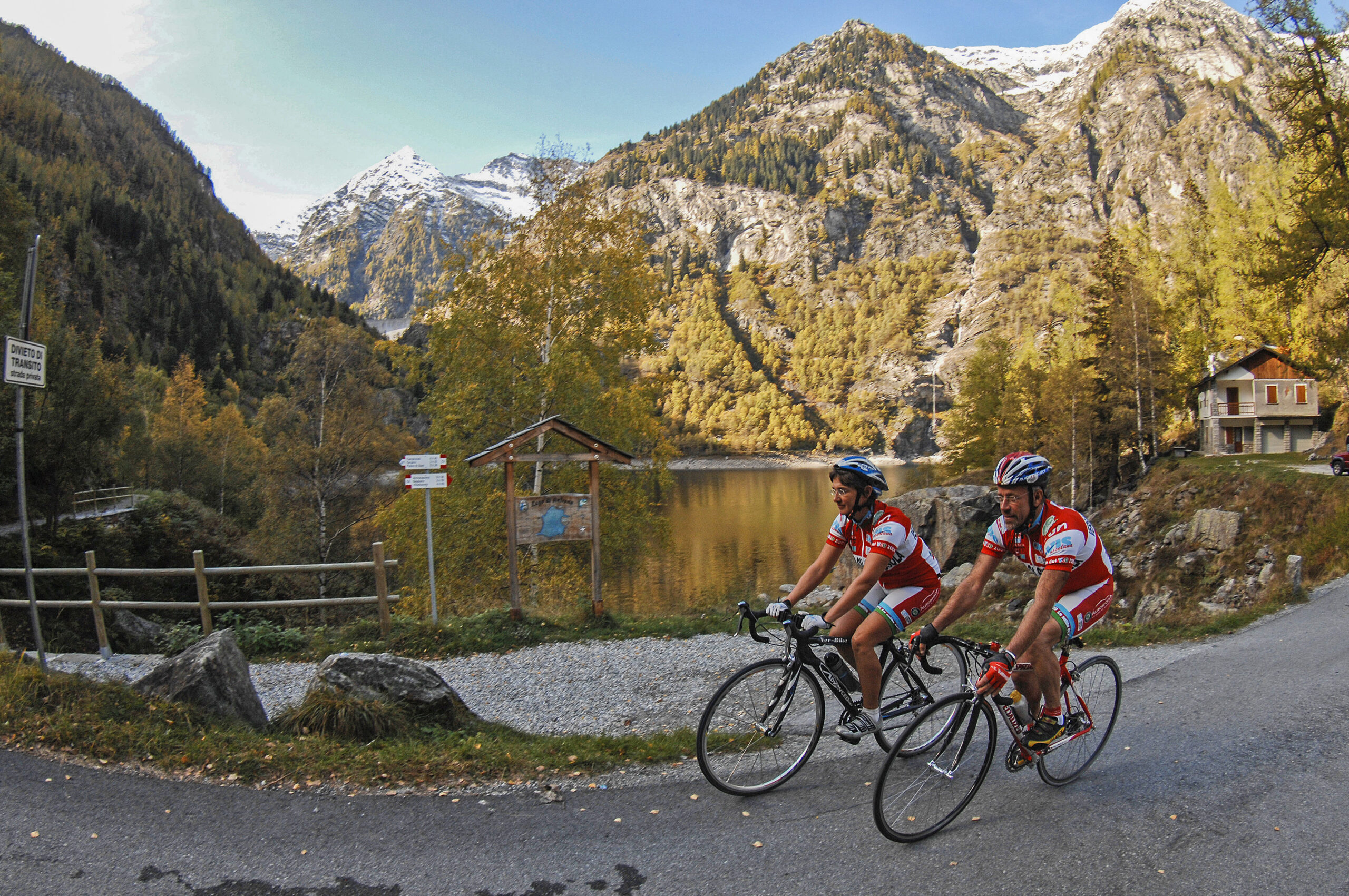
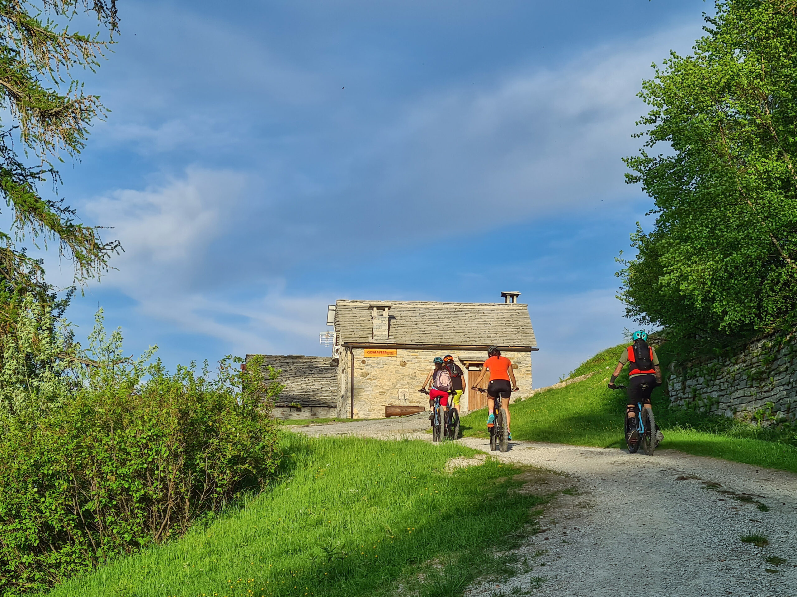
ALPINE PASTURES OF VARZO
Valle Divedro
Route description
Particularly scenic loop tours on paved and dirt consortium trails. Overall, the route is not
challenging, but it has an elevation gain that has begun to become significant. Beginner cyclists
can also tackle a pedal-assisted mountain bike.
Back to the list of routes
Rural hamlets and mountain pastures located on the slopes of Moncucco, the mountain of Domodossola
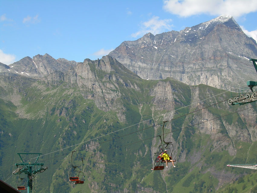
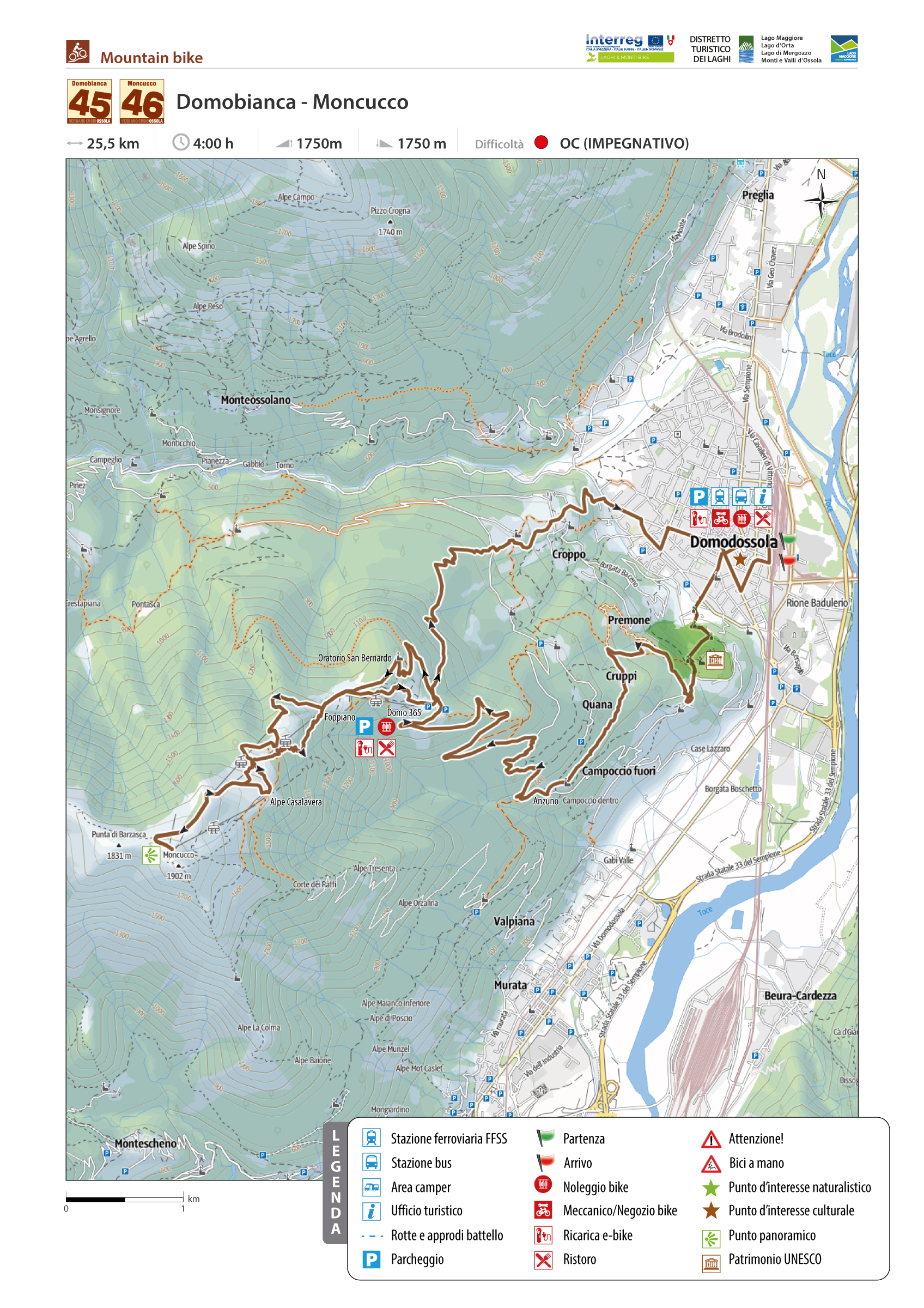
DOMOBIANCA 365 – MONCUCCO
Domodossola e dintorni
Route description
Loop itinerary starting from Domodossola to discover the rural hamlets and mountain pastures located on the slopes of Moncucco, the mountain of Domodossola. The proposed itinerary is a combination of two routes: Domodossola – Alpe Lusentino (Domobianca 365) and Alpe Lusentino – Moncucco. Thanks to the renovated Domobianca 365 ski resort, which has invested heavily in summer outdoor tourism, there will be beautiful trails specially prepared for downhill mountain biking.
Back to the list of routes
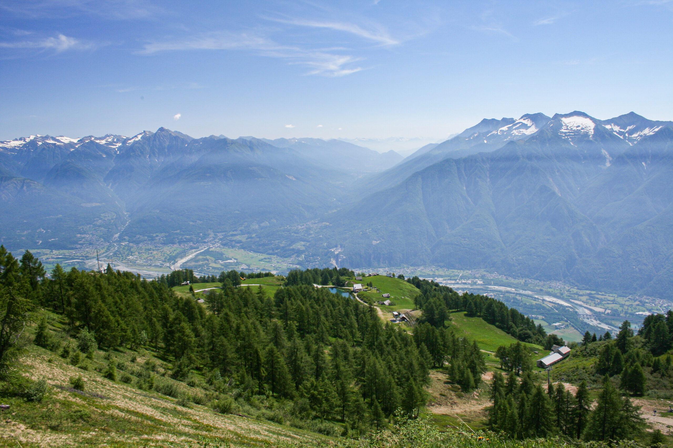
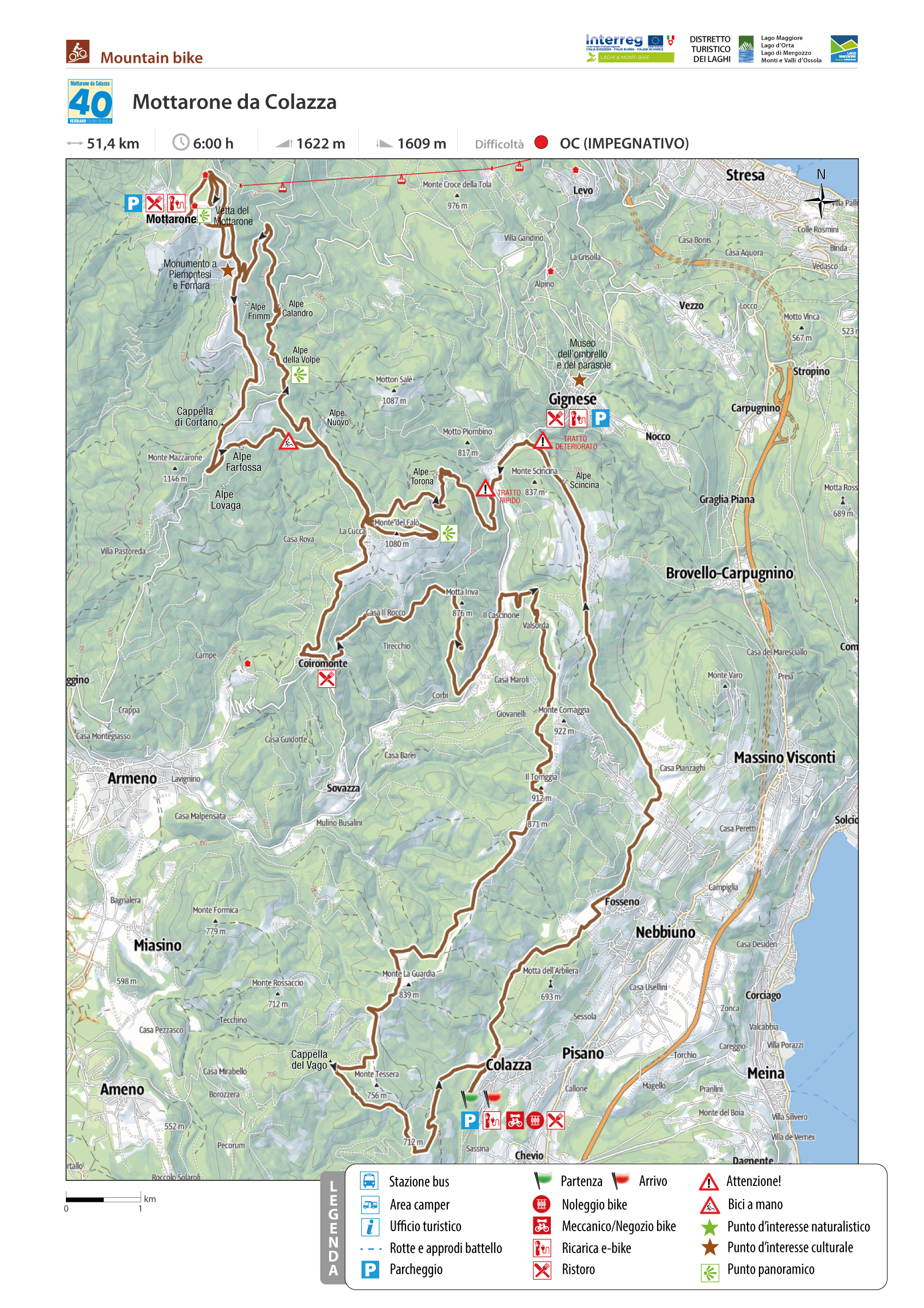
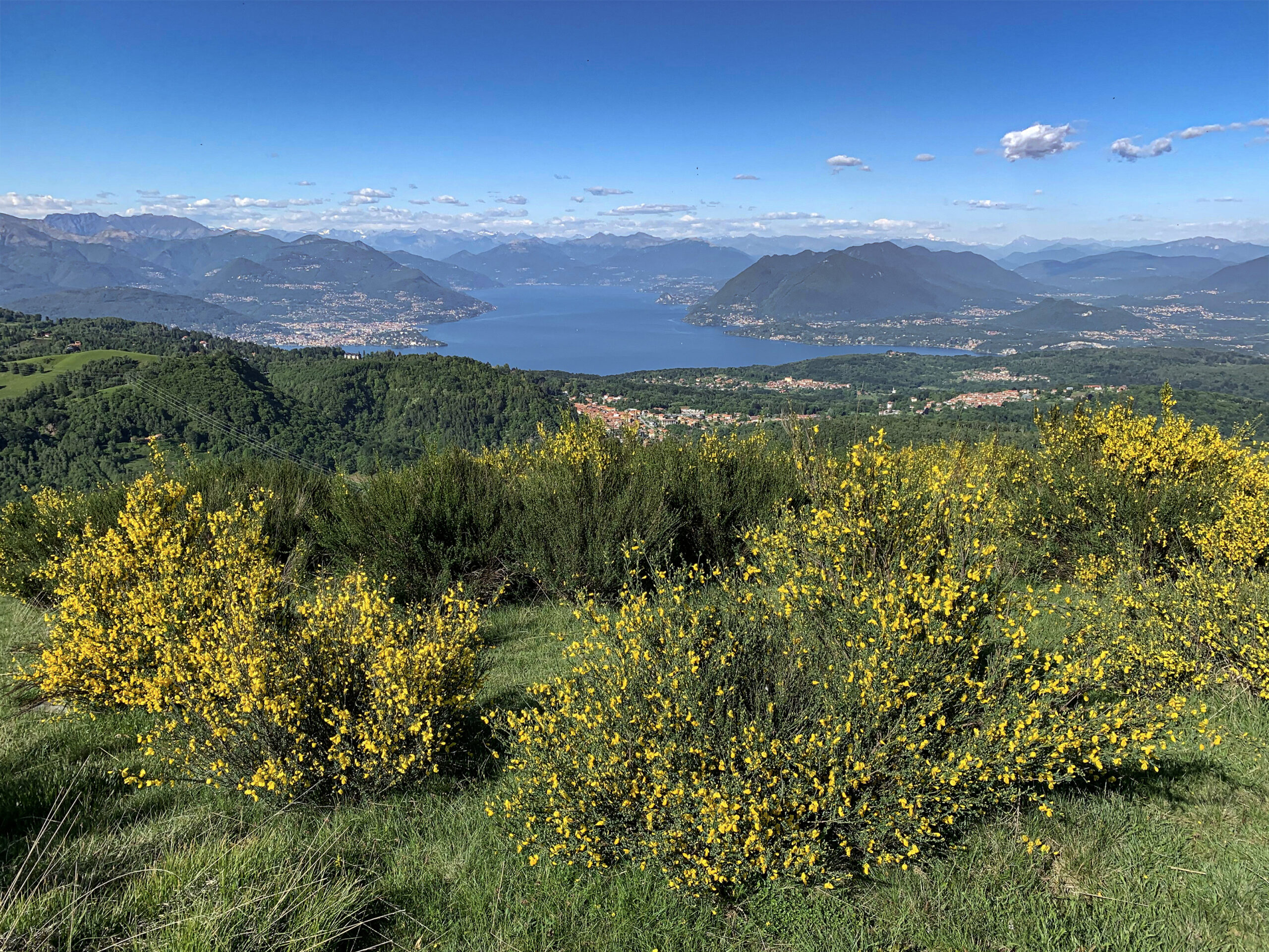
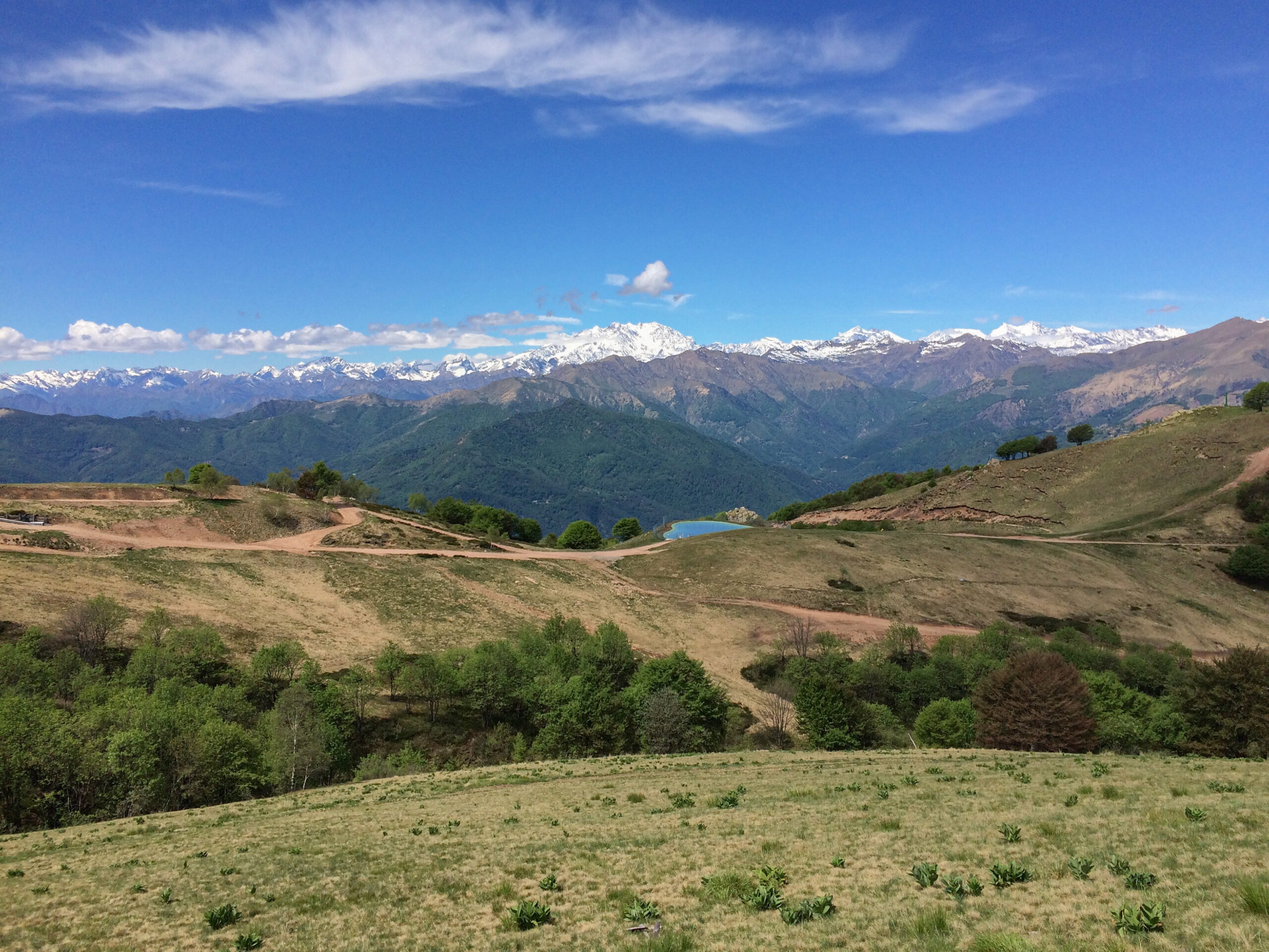
MOTTARONE FROM COLAZZA
Lago Maggiore
Route description
A loop more than 50 km long on the eastern slope of Mottarone, the one that overlooks the Borromeo Gulf and sweeps over Lake Maggiore, Switzerland, Lombardy, and a large section of the Alps, with his majesty Monte Rosa in the foreground.
Back to the list of routes
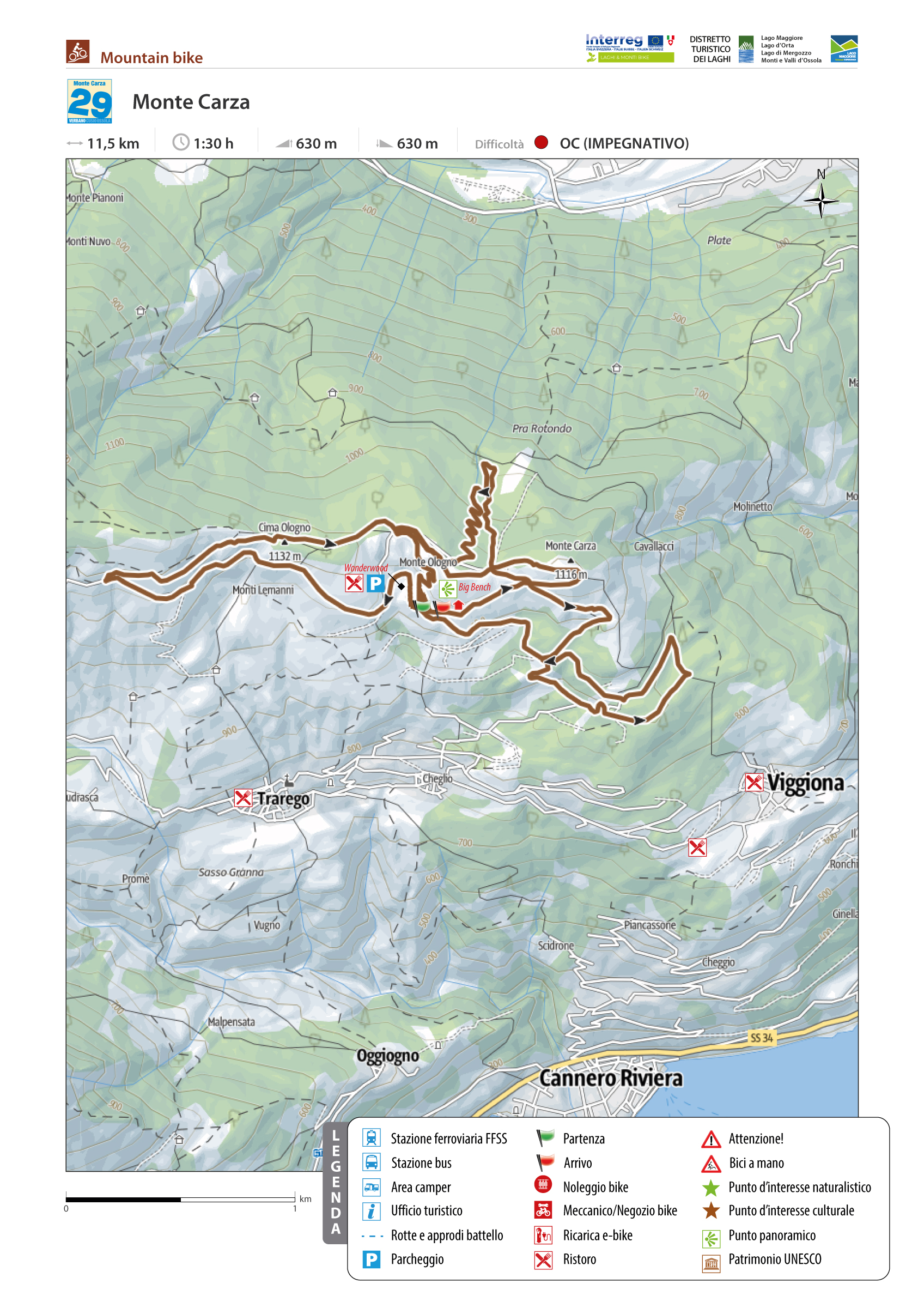
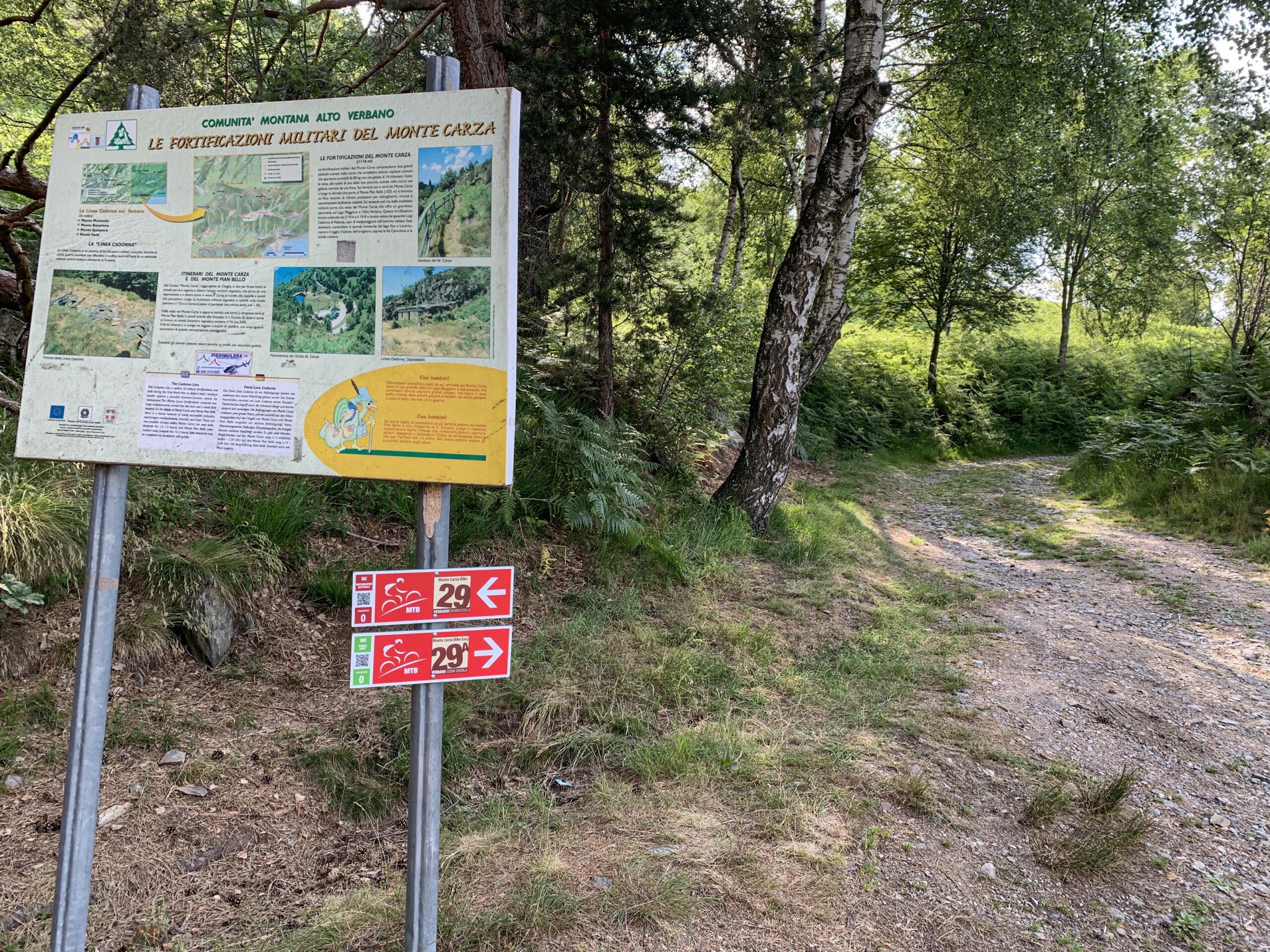
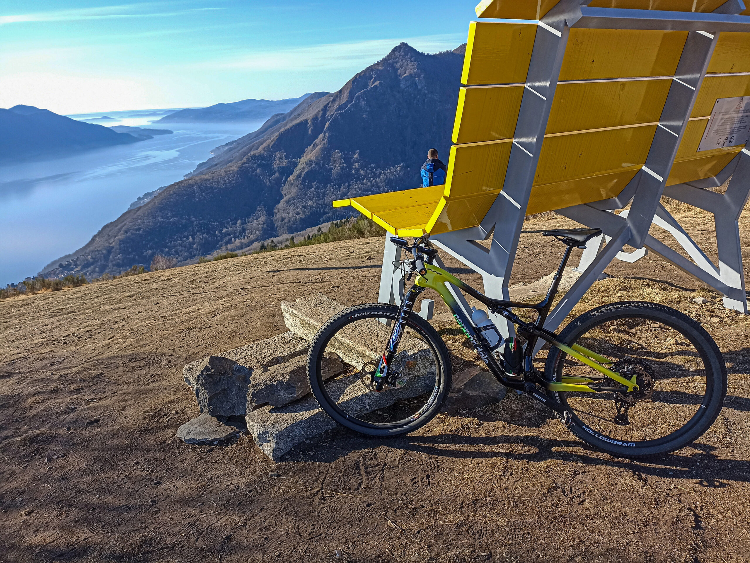
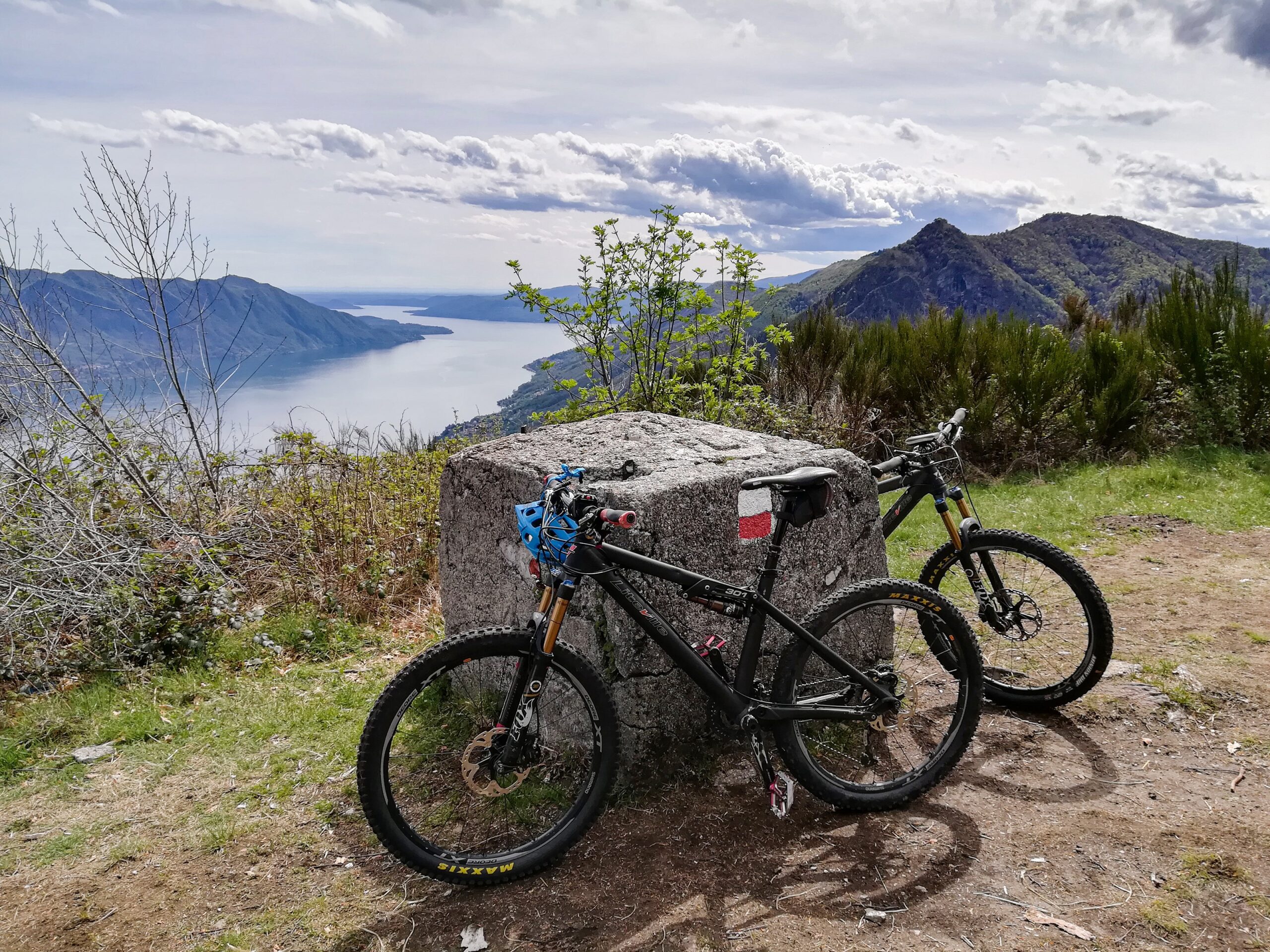
MONTE CARZA
Alto Verbano
Route description
This medium-difficult mixed route has regular climbs and excellent and safe descents. Its technical sections enhance the area’s morphology but are never exaggerated.
Recent work has made the trail passable for anyone of average athletic and technical ability.
However, it is not suitable for beginners.
Back to the list of routes
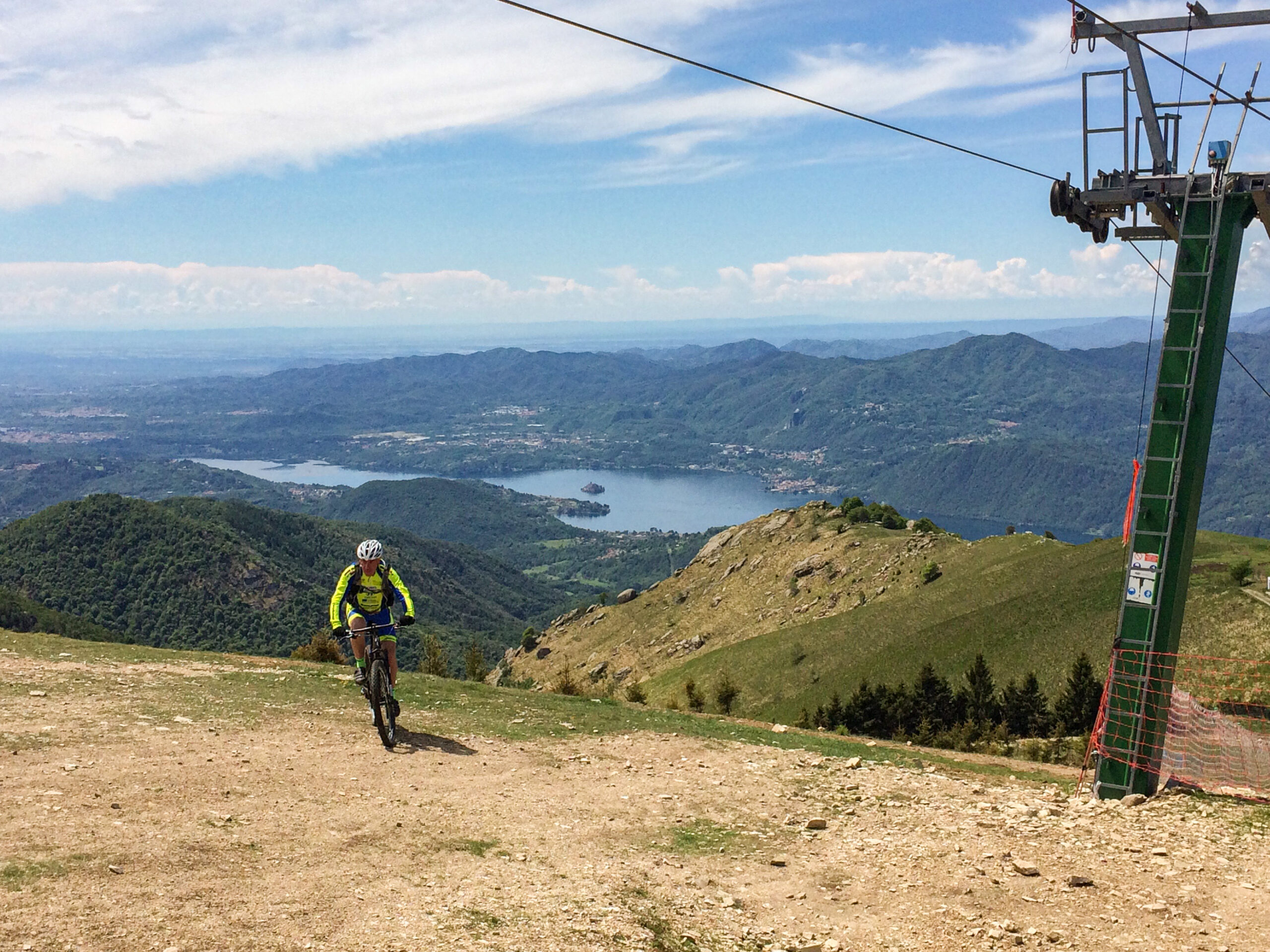
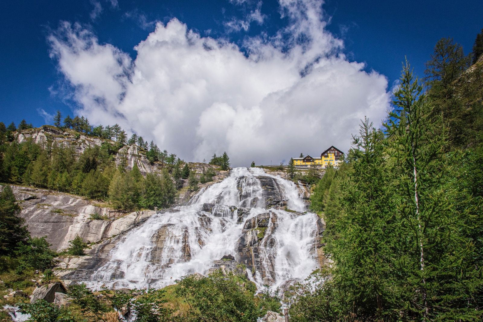
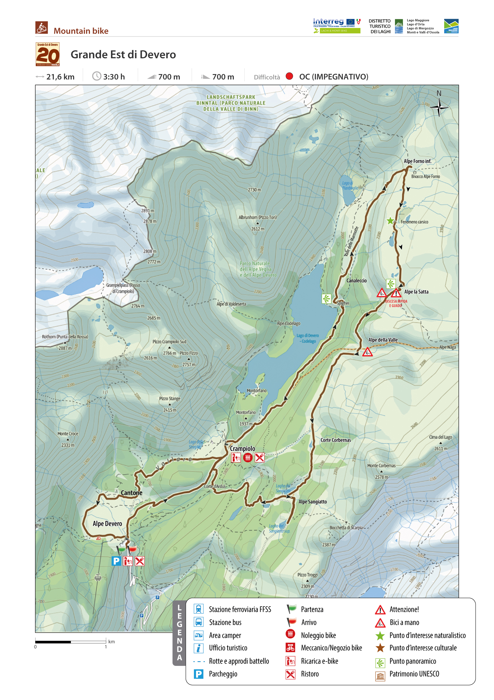
THE SPECTACLE WILL RECOMPENSE THE EFFORT
THE “GREAT EAST” OF DEVERO
Alpi Veglia-Devero
Route description
SEASON From June to October
Loop tour through the vast high-altitude grasslands of the Grande Est di Devero, a plateau of more than 7 km2 above 2,000 m, the production area of Bettelmatt cheese.
The route is challenging overall, but it is one of the most beautiful trips in Ossola: the spectacle will make up for the hard work.
Click on “Download HERE THE DESCRIPTION” for more details
Back to the list of routes

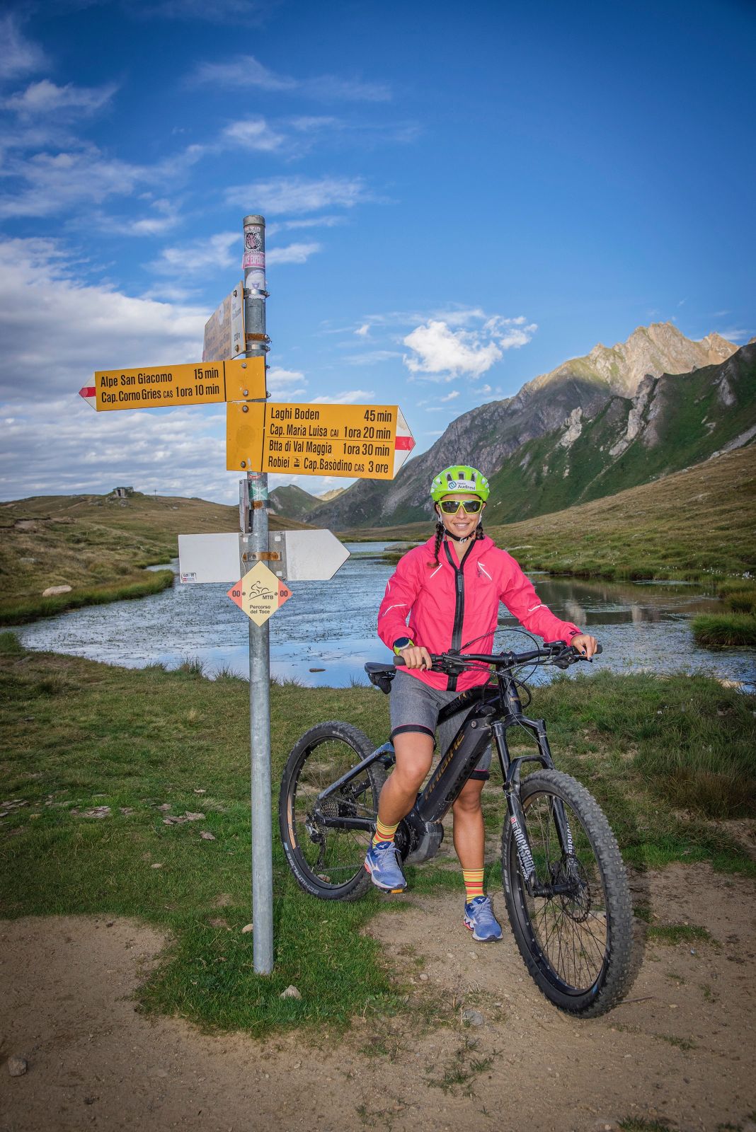
BETWEEN THE ANTIGORIO VALLEY AND THE FORMAZZA VALLEY THROUGH THE TOWNS
RIVER TOCE MTB ROUTE
Domodossola e dintorni
Route description
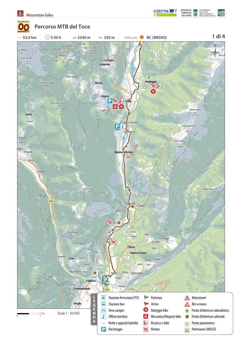
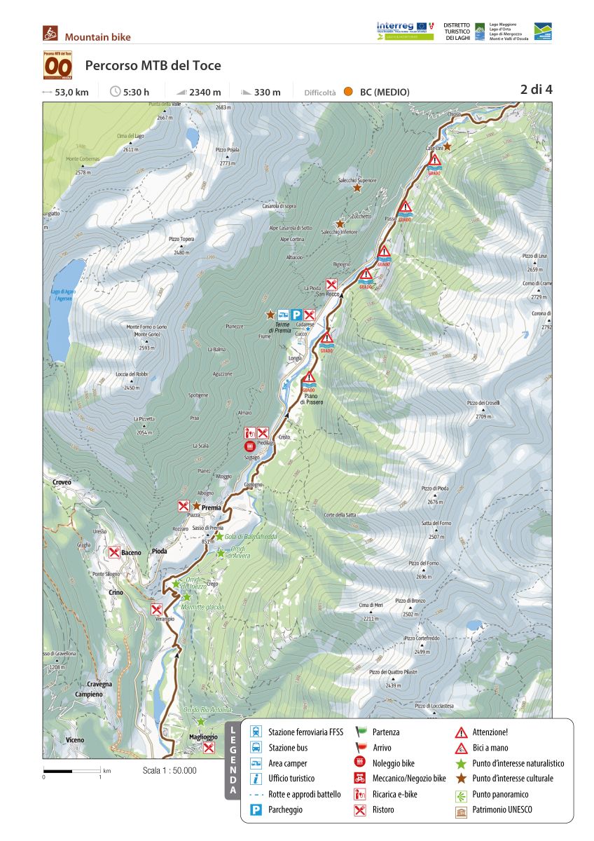
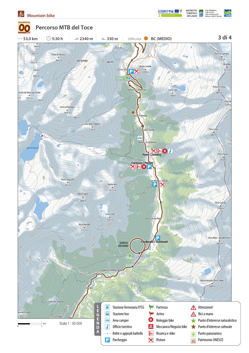
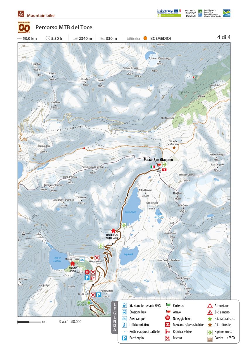
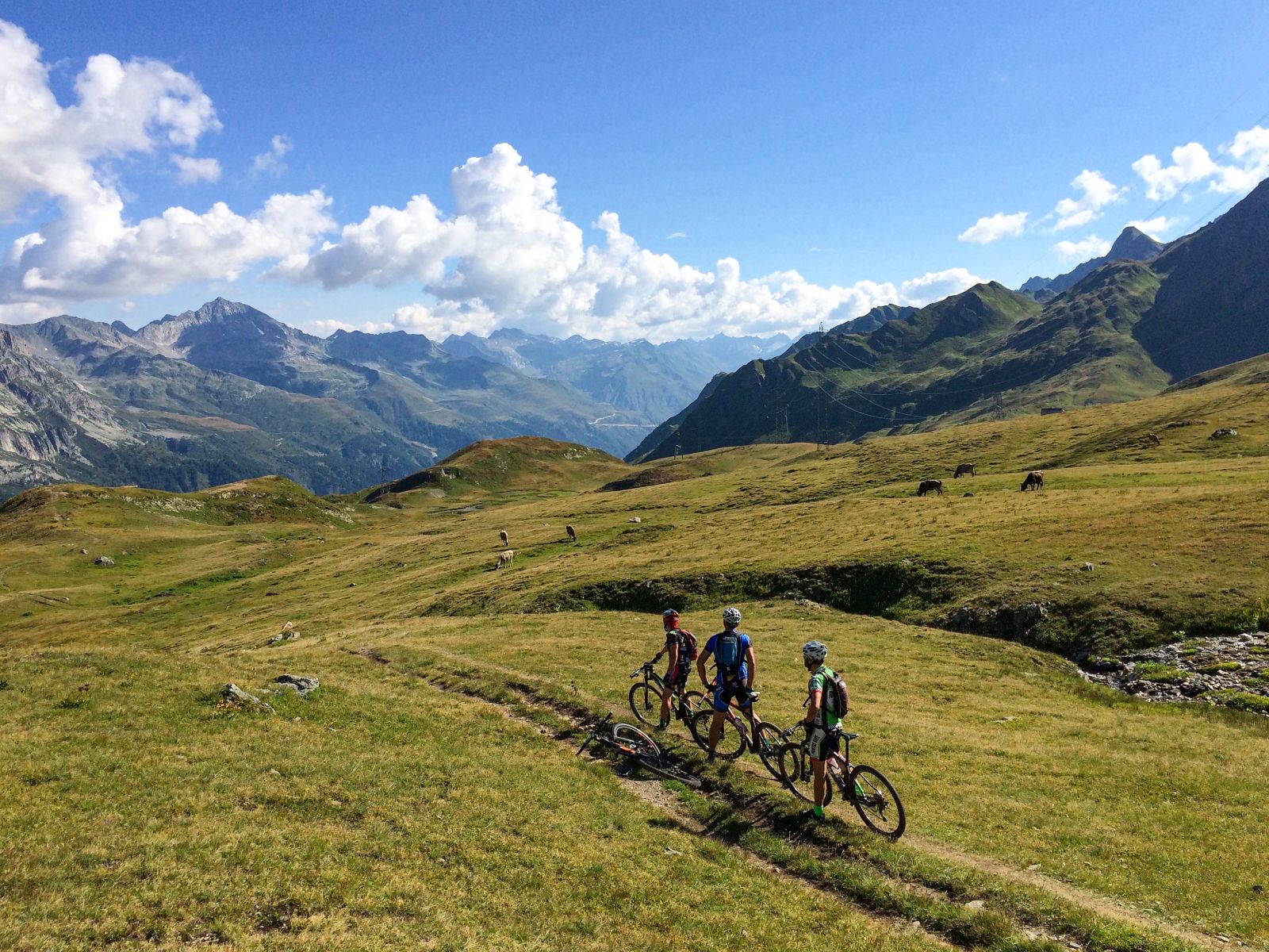
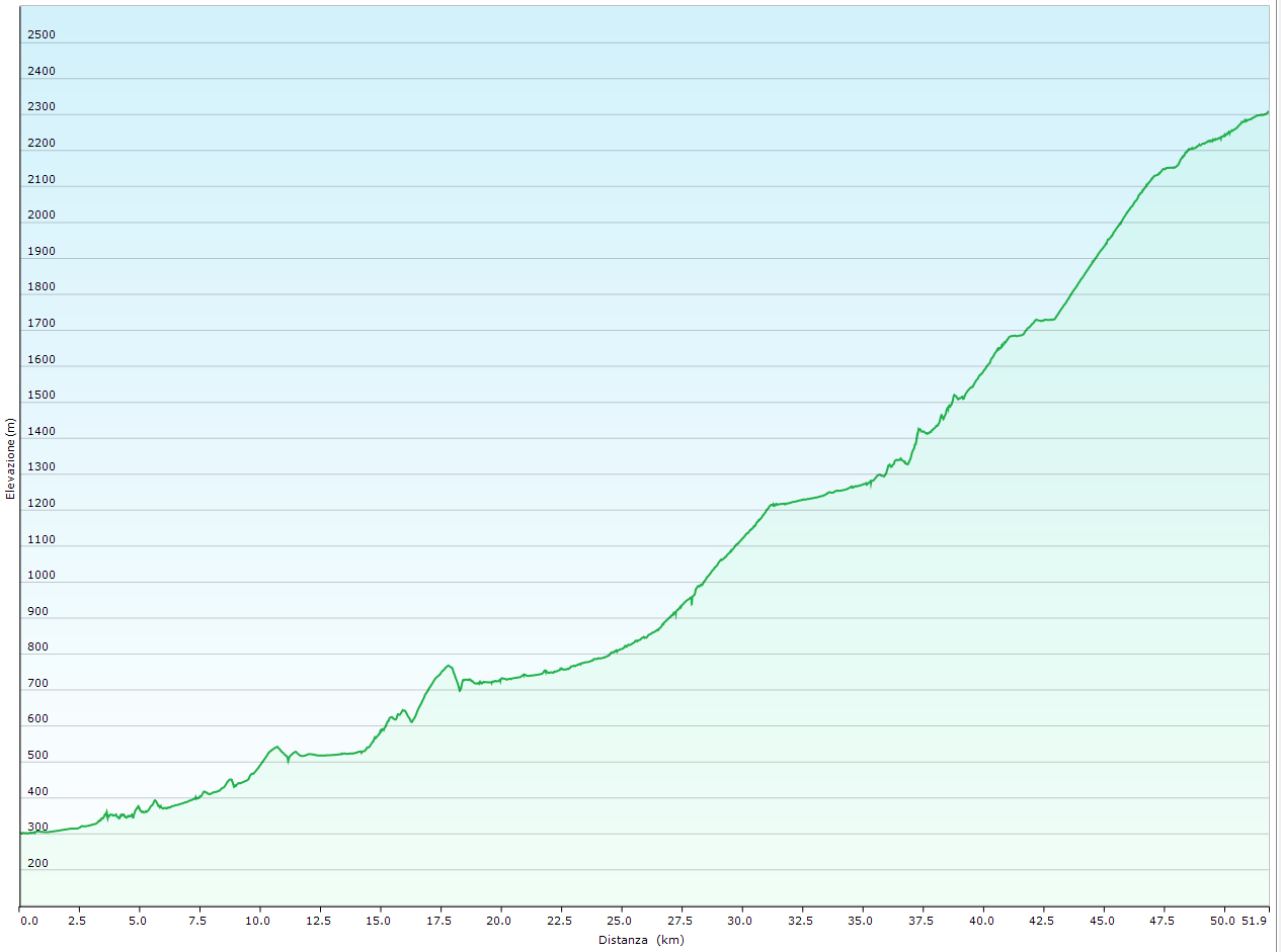
00 Percorso MTB del Toce
The Toce MTB Route, from Montecrestese/Crevoladossola to San Giacomo Pass, represents the main framework of the Antigorio Formazza Valley, from which the other routes branch. It runs up the valley through towns near the main roadway (SS659). The many accommodation and dining options along the valley allow you to choose the length of the legs according to your level of preparedness.
The Toce MTB Route takes on an international dimension in that it is the natural link between Domodossola and the St. Gotthard Pass while riding a bicycle. The proposed route follows, with some limited variations to avoid the steepest mule tracks, the SBRINZ ROUTE to Riale. From Riale, the route follows the beautiful road to the San Giacomo Pass. From the pass, we can descend into the Bedretto Valley to Airolo along the route 390 Alps Bedretto Bike promoted by Switzerland Mobile, which mid-coast touches the Alpe of Formazzora, Valleggia, Folera, Stabiello, Cristallina and Pescium.
Click on “Download HERE THE DESCRIPTION ” for more details
Back to the list of routes

