TOCE CYCLE ROUTE
Domodossola e dintorni
Route description
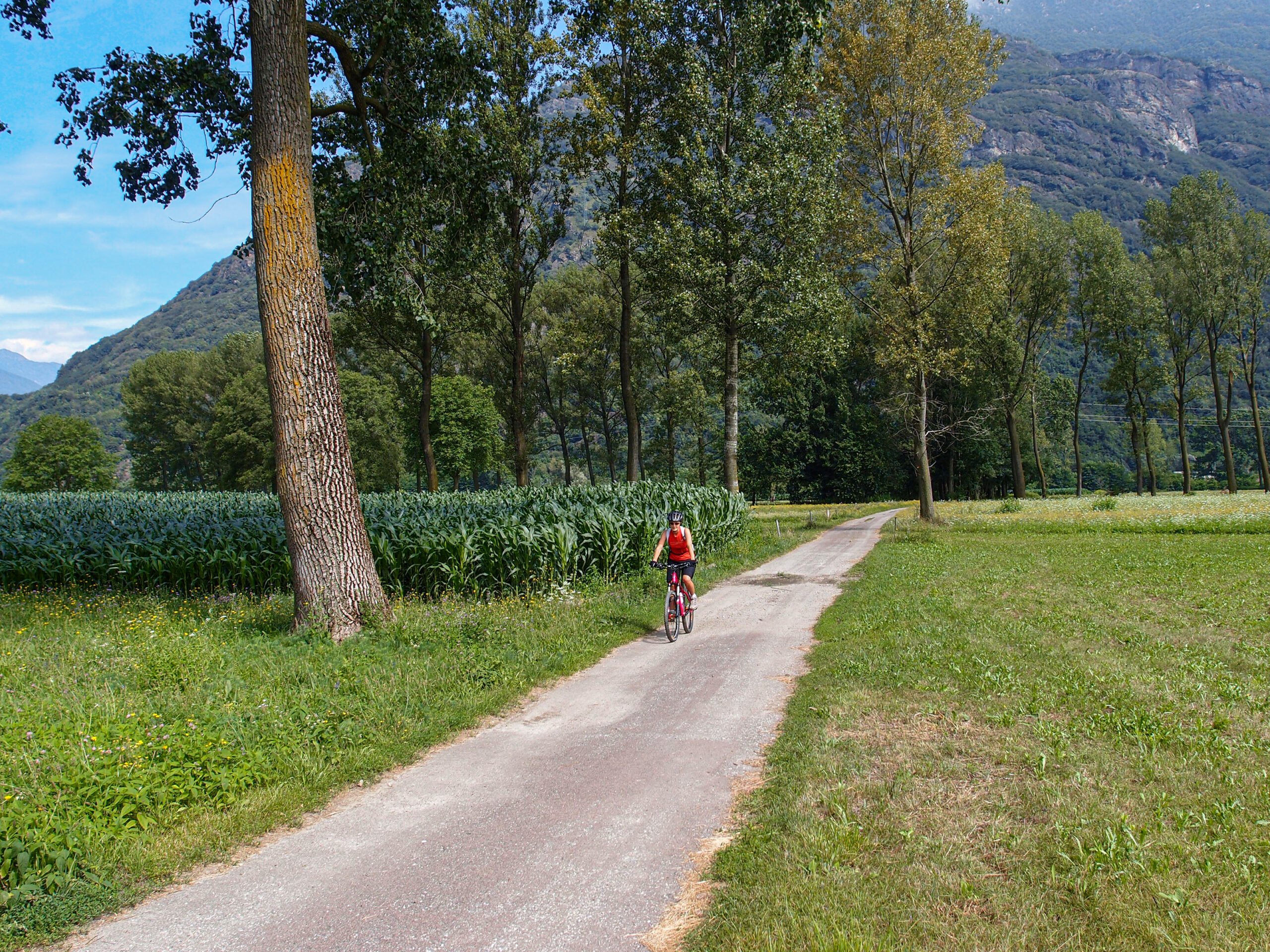
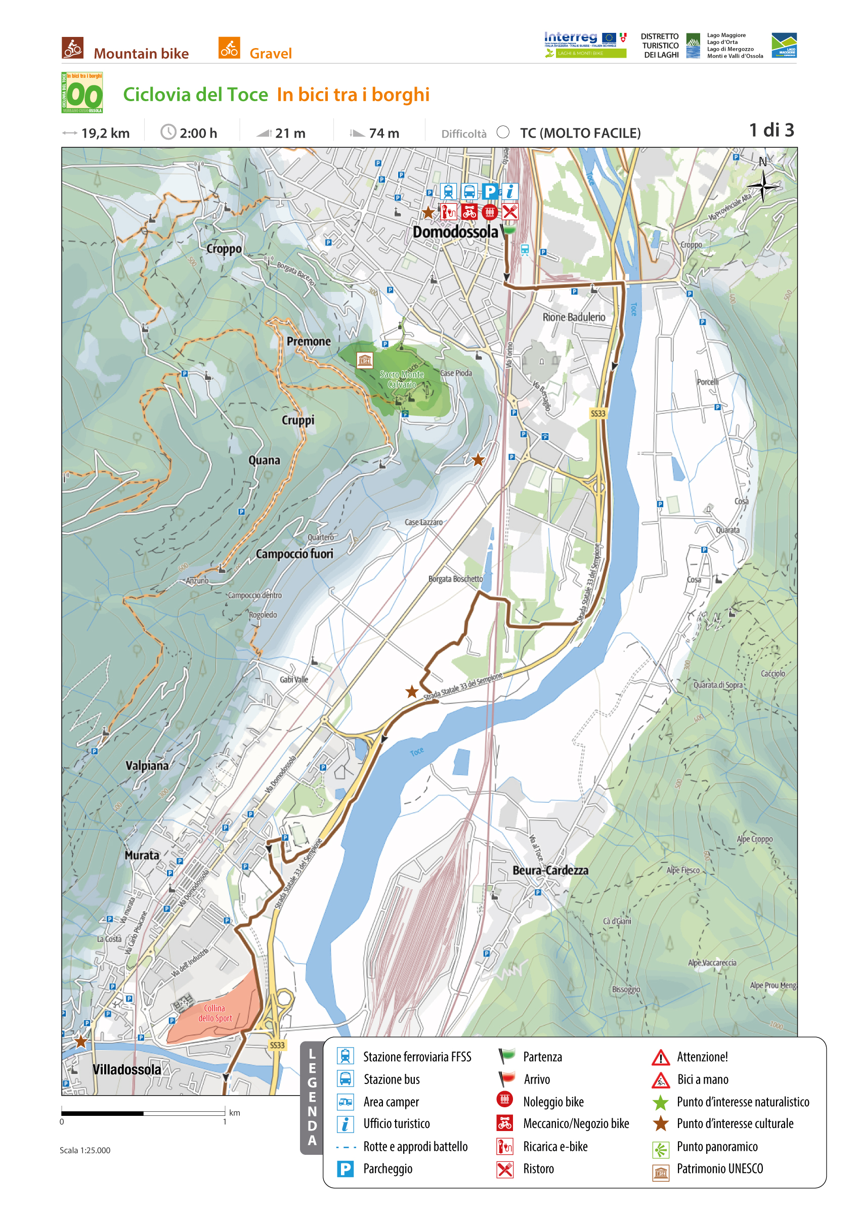
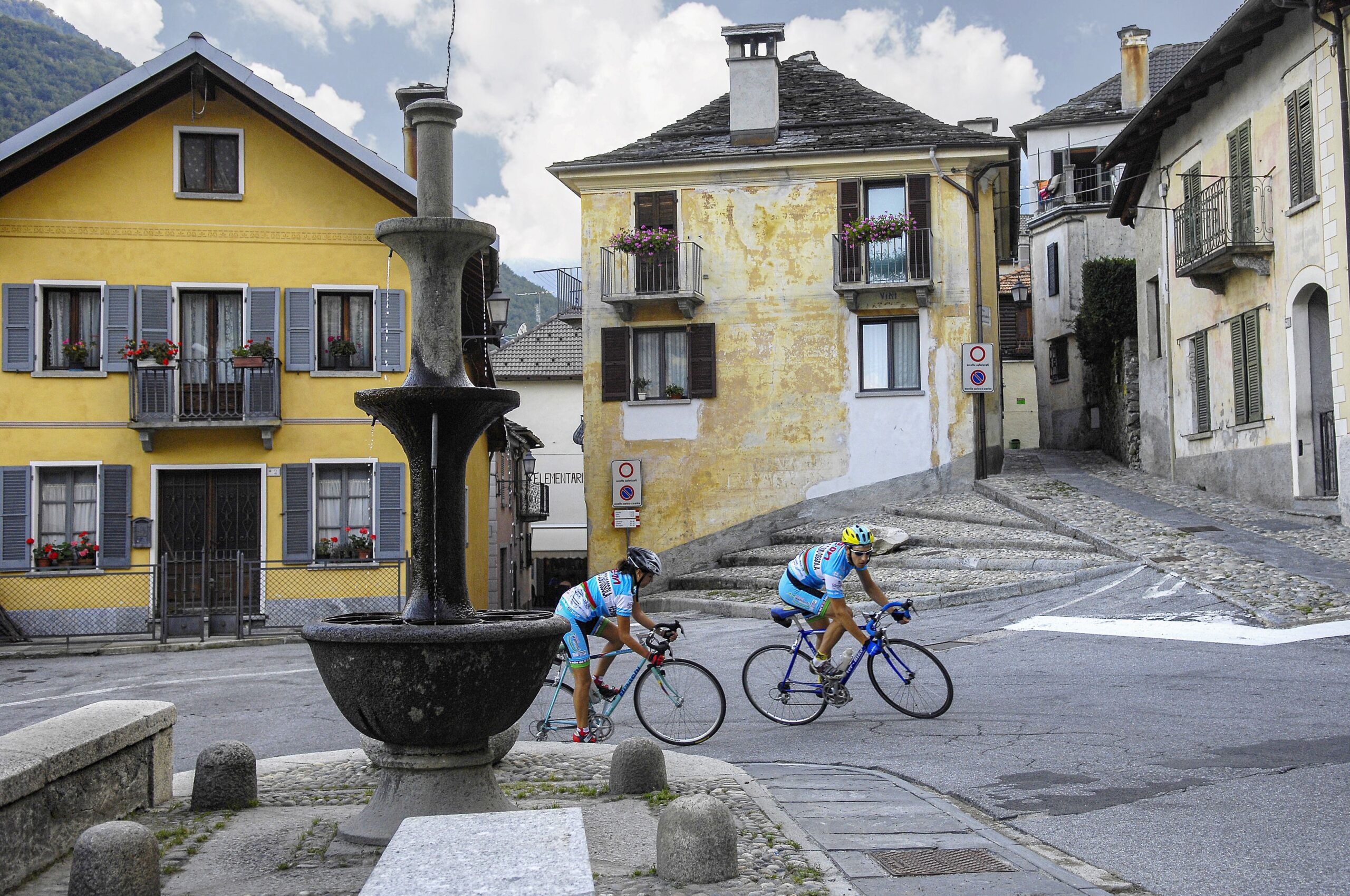
The Toce Cycle Route “Ciclovia del Toce” is a splendid itinerary that runs along the banks of the River Toce to Lake Maggiore.
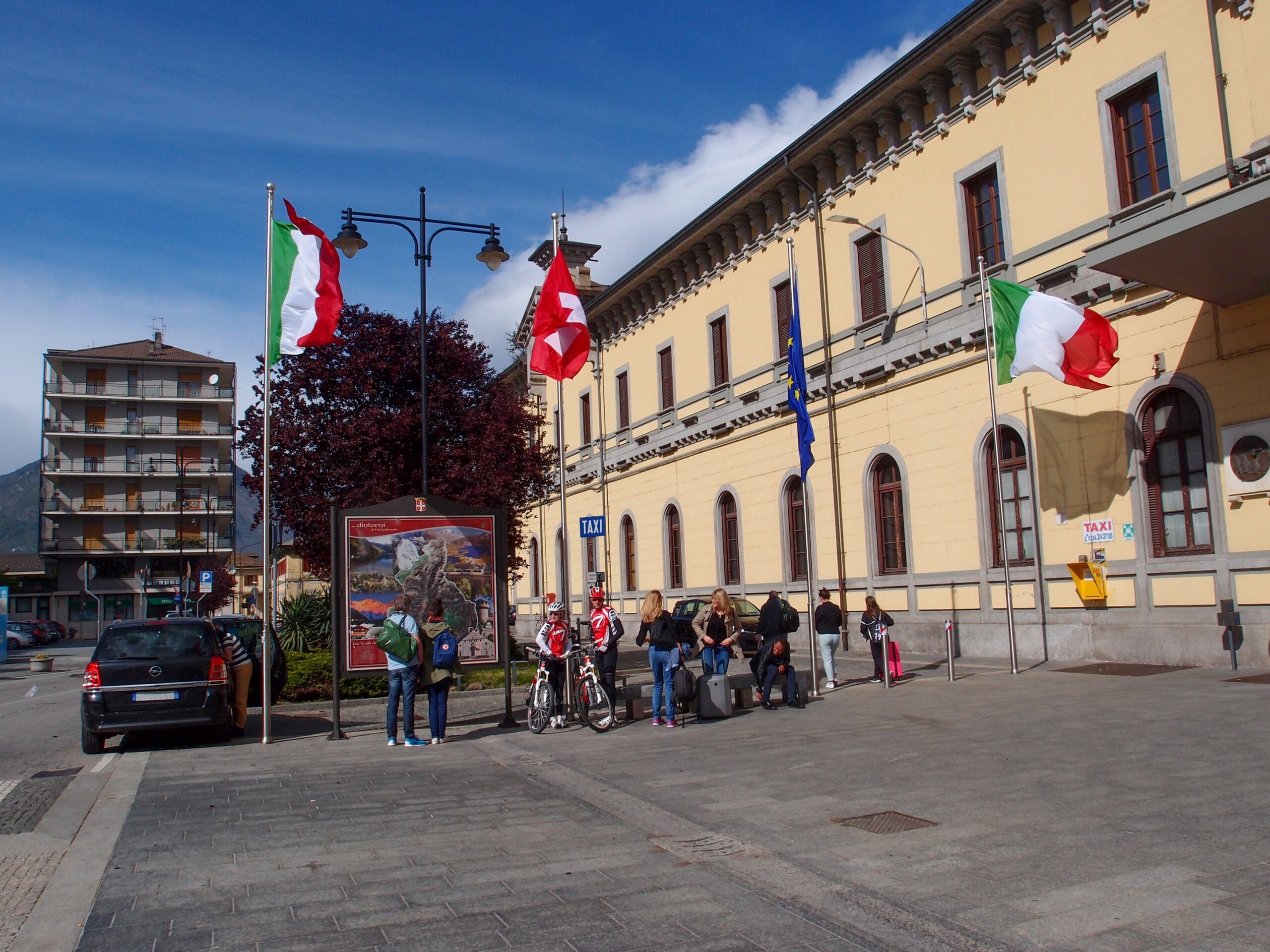
The route starts from the railway station of Domodossola and follows cycle paths, agricultural roads, secondary paved roads and sections on ordinary road, and crossing the valley floor of Ossola to the Fondo Toce Nature Reserve it ends at the railway station of Verbania – Pallanza.
The Toce Cycle Route coincides in part with the itinerary “La Via del Mare” declared by Regione Piemonte “route of regional interest”, which starts from Domodossola and ends in Imperia, crossing from north to south all the Piedmont.
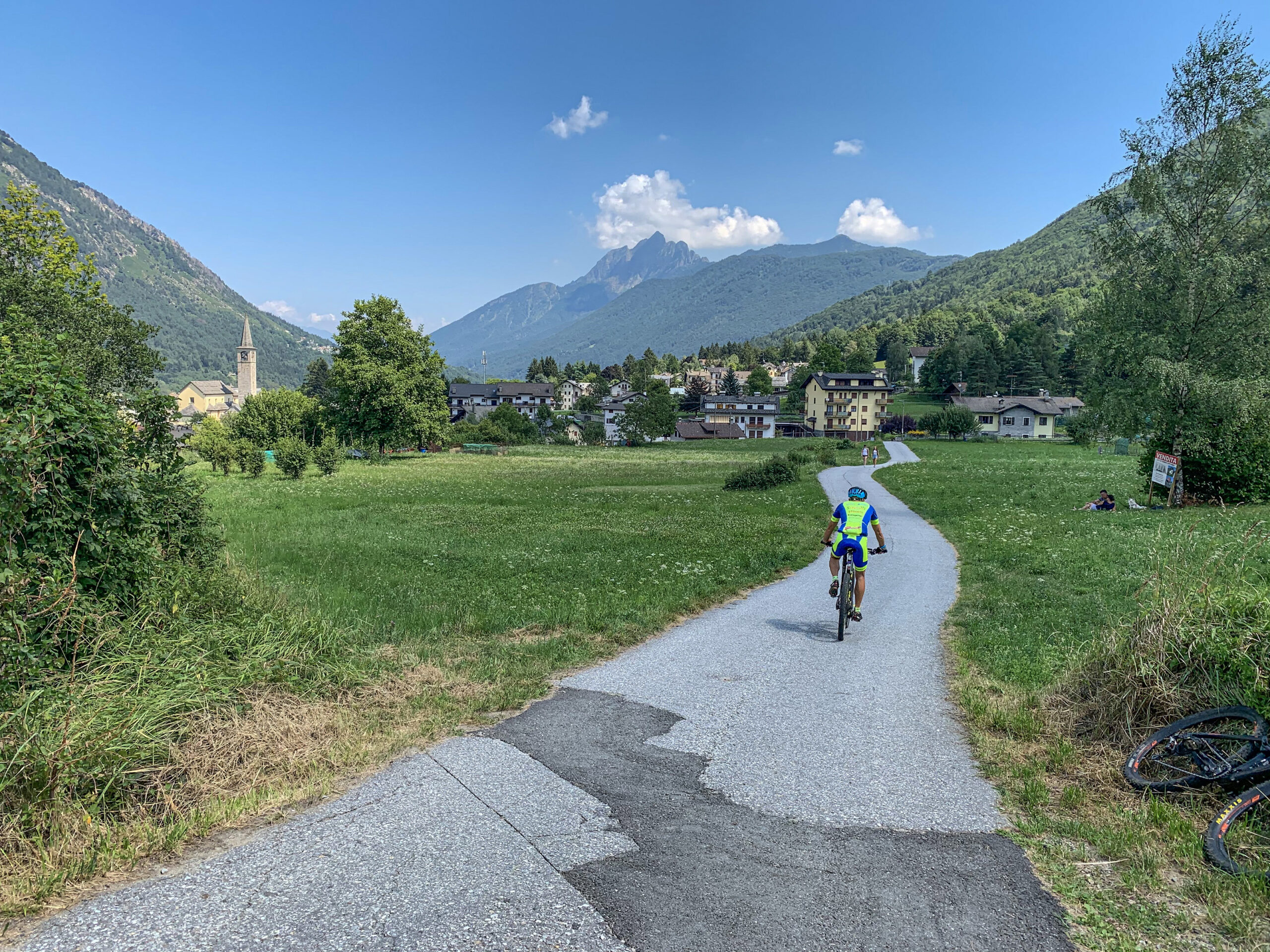
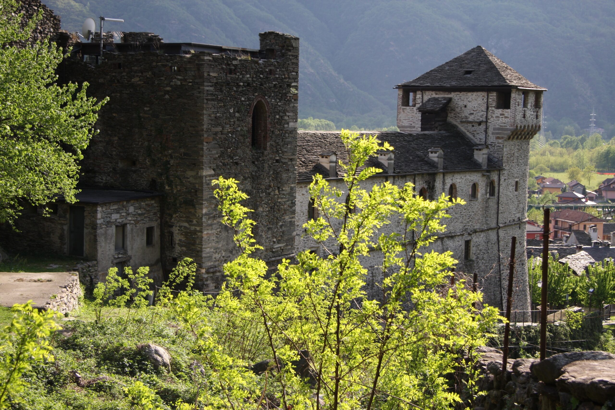
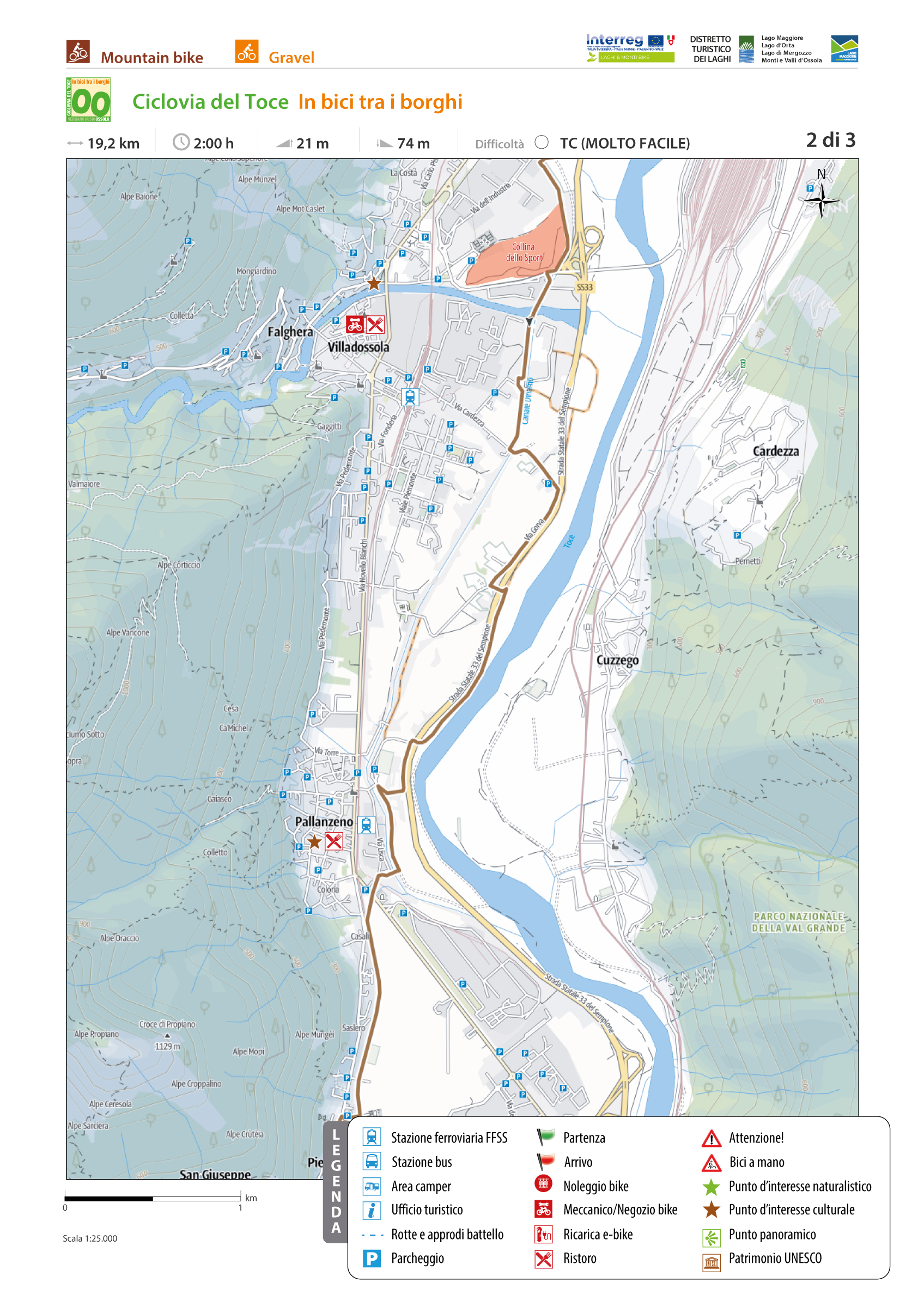
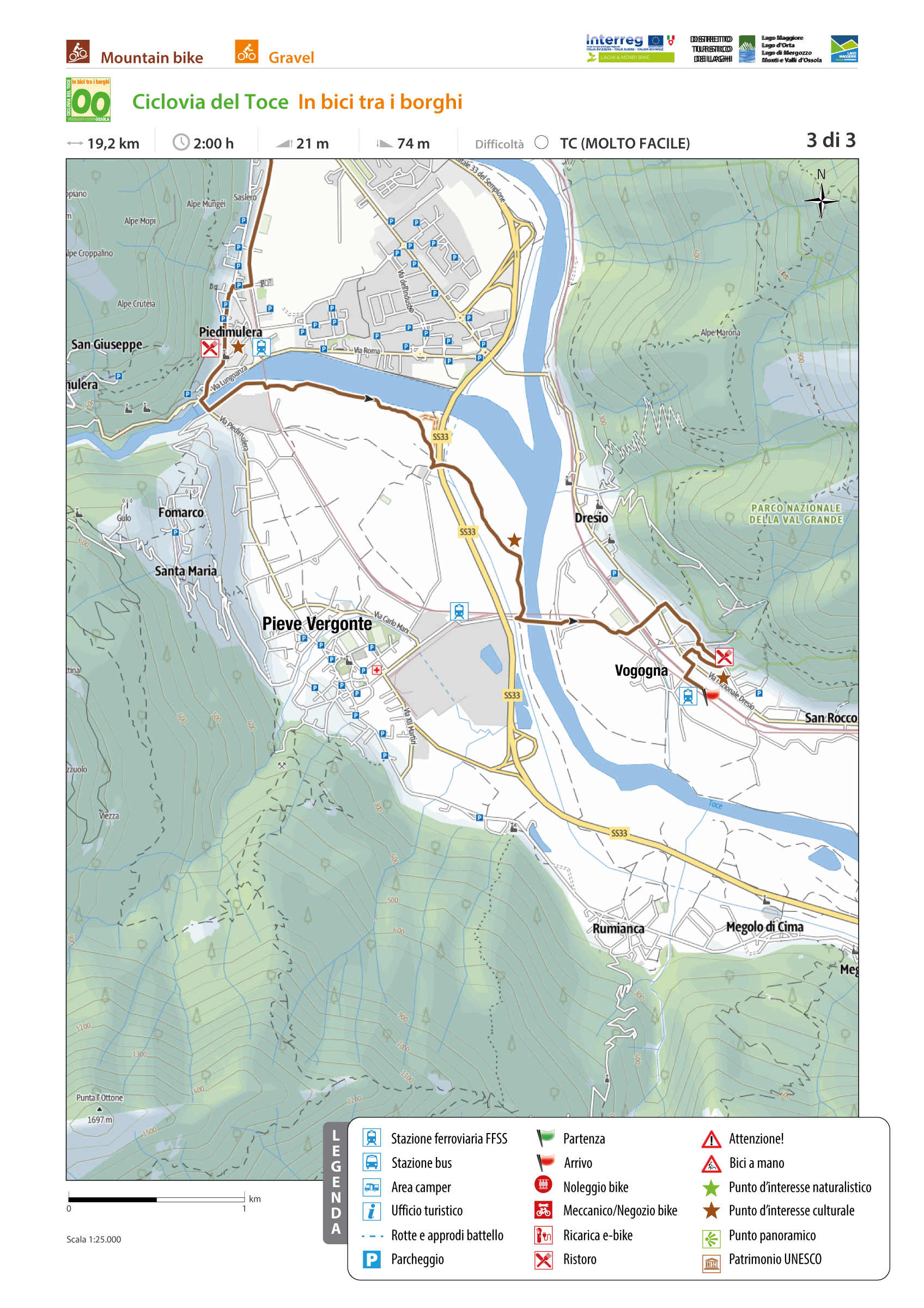
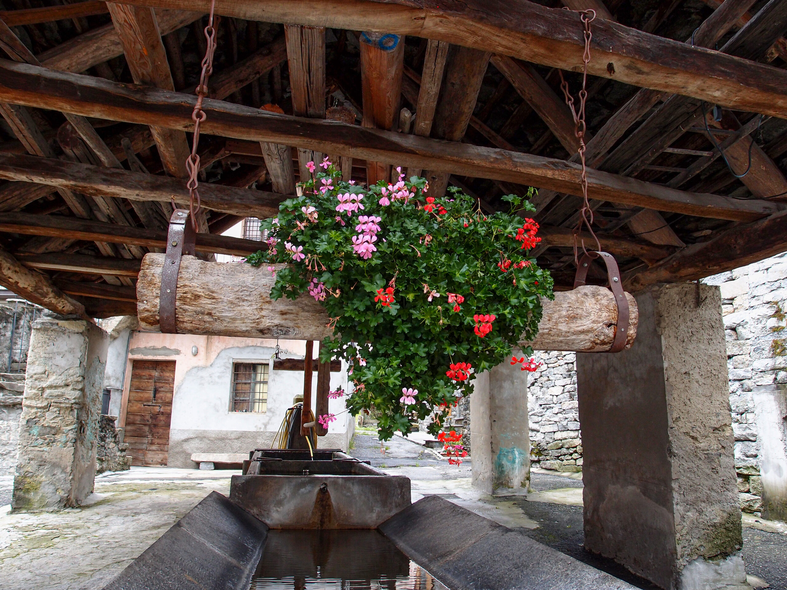
The route starts from the station of Domodossola, Borgo della Cultura, and after a first stretch on ordinary road, near the bridge of Mizzoccola enters the cycle path that runs along the right bank of the Toce River. Crossing thickets and clearings, in Villadossola the route goes around the Hill of Sport. After some sections on ordinary roads, you return to the bike path until the sports field of Pallanzeno. Returning to ordinary roads and then again on bike path you reach Piedimulera, through the historic center surmounted by the majestic Torre Ferrerio. Continuing towards Pieve Vergonte, first on ordinary roads then on a cycle path, you continue to the sports field of Vogogna. Returning to ordinary road you reach the heart of the historic center of the medieval village of Vogogna, awarded the recognition of “Most beautiful villages in Italy and Orange flags”, where you can admire the historic Palazzo Pretorio, the Visconti Castle and the Church of the Sacred Heart of Jesus in neo-Gothic style. Here it ends the first stretch of the Ciclovia del Toce, defined “by bike between the villages”.
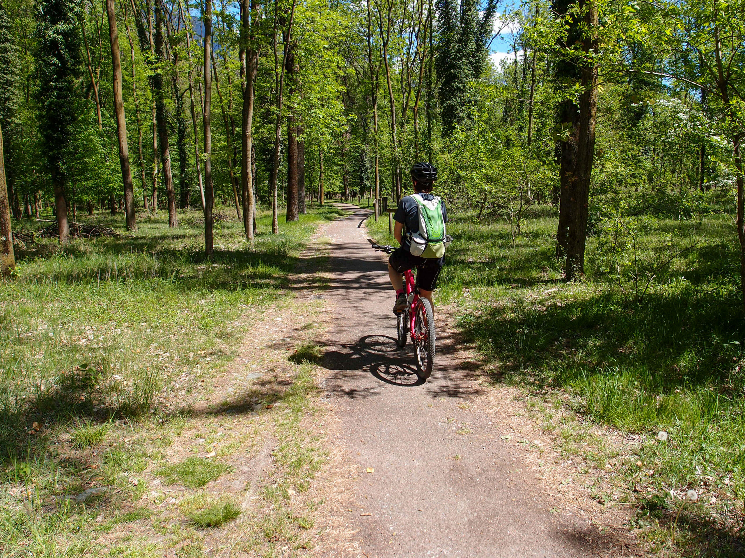
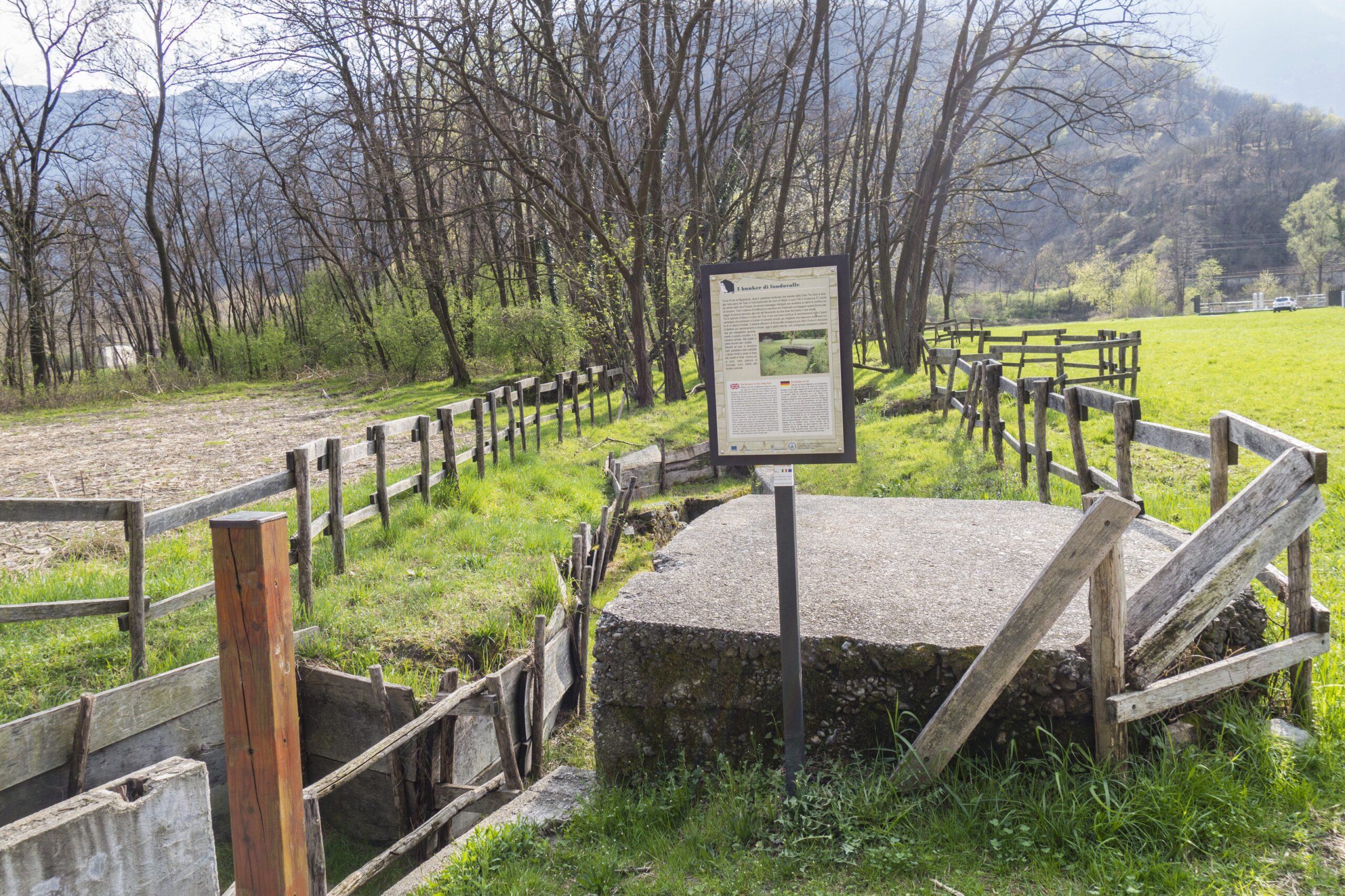
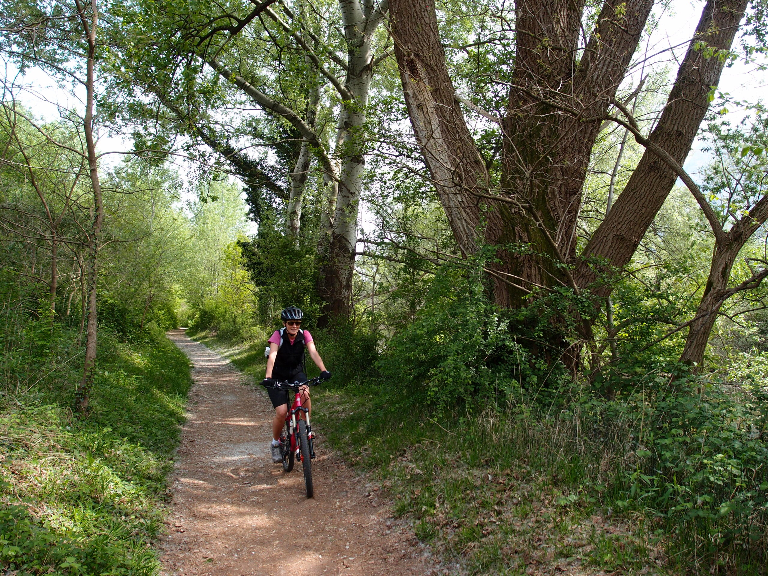
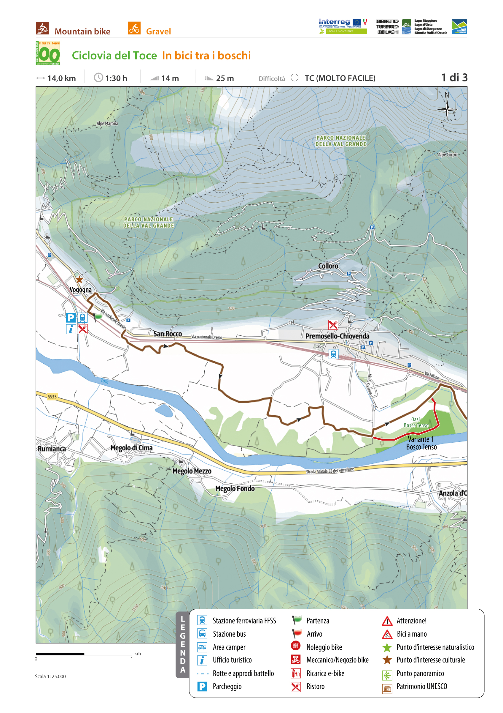
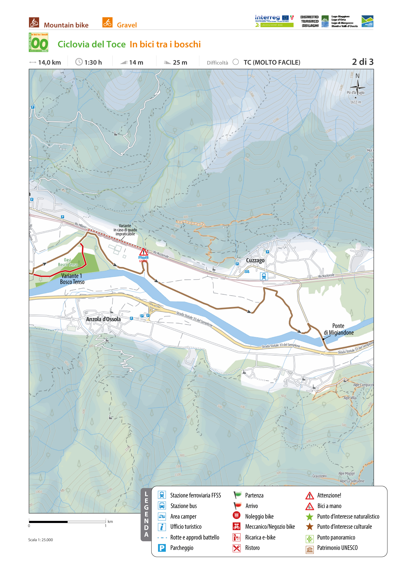
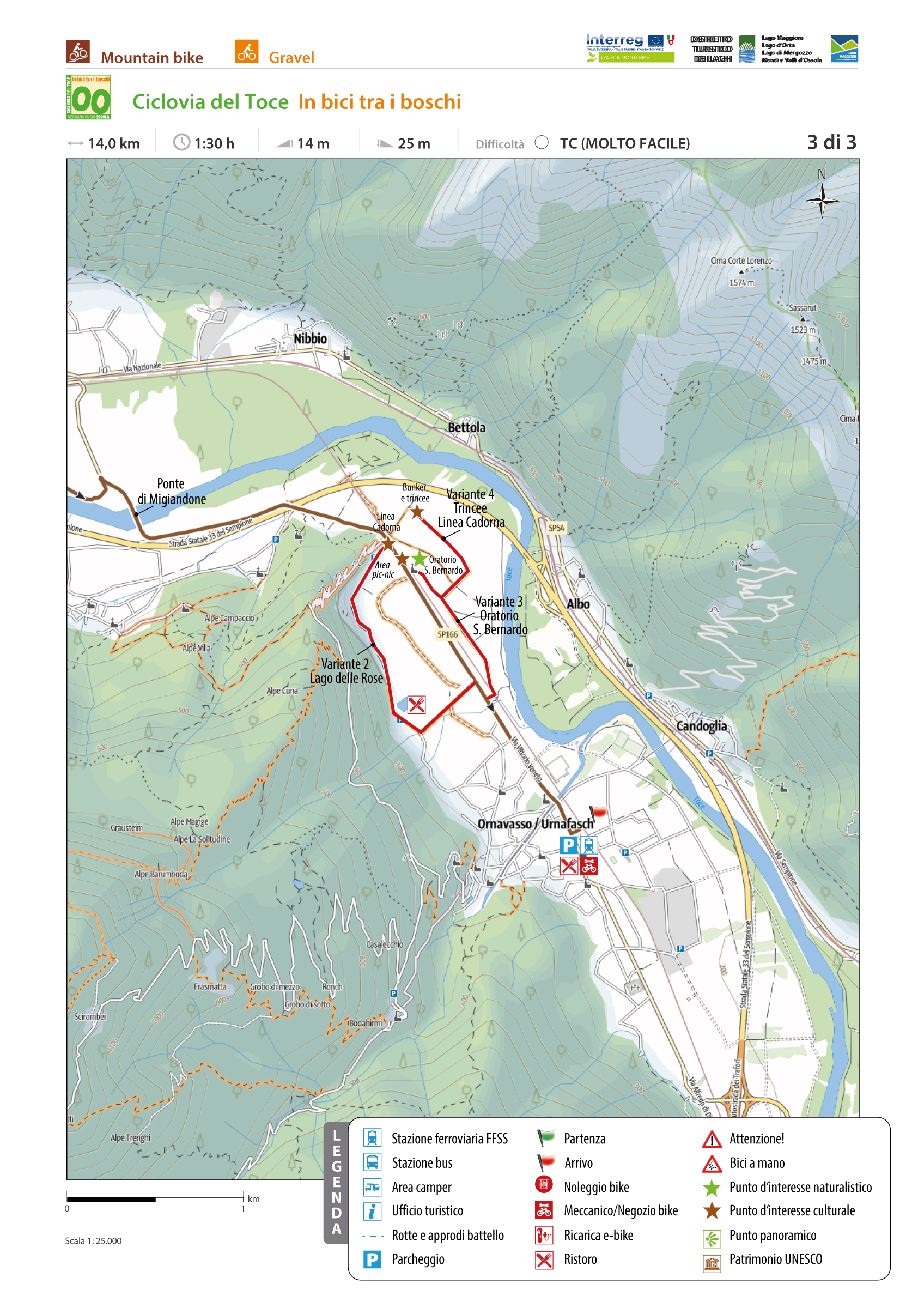
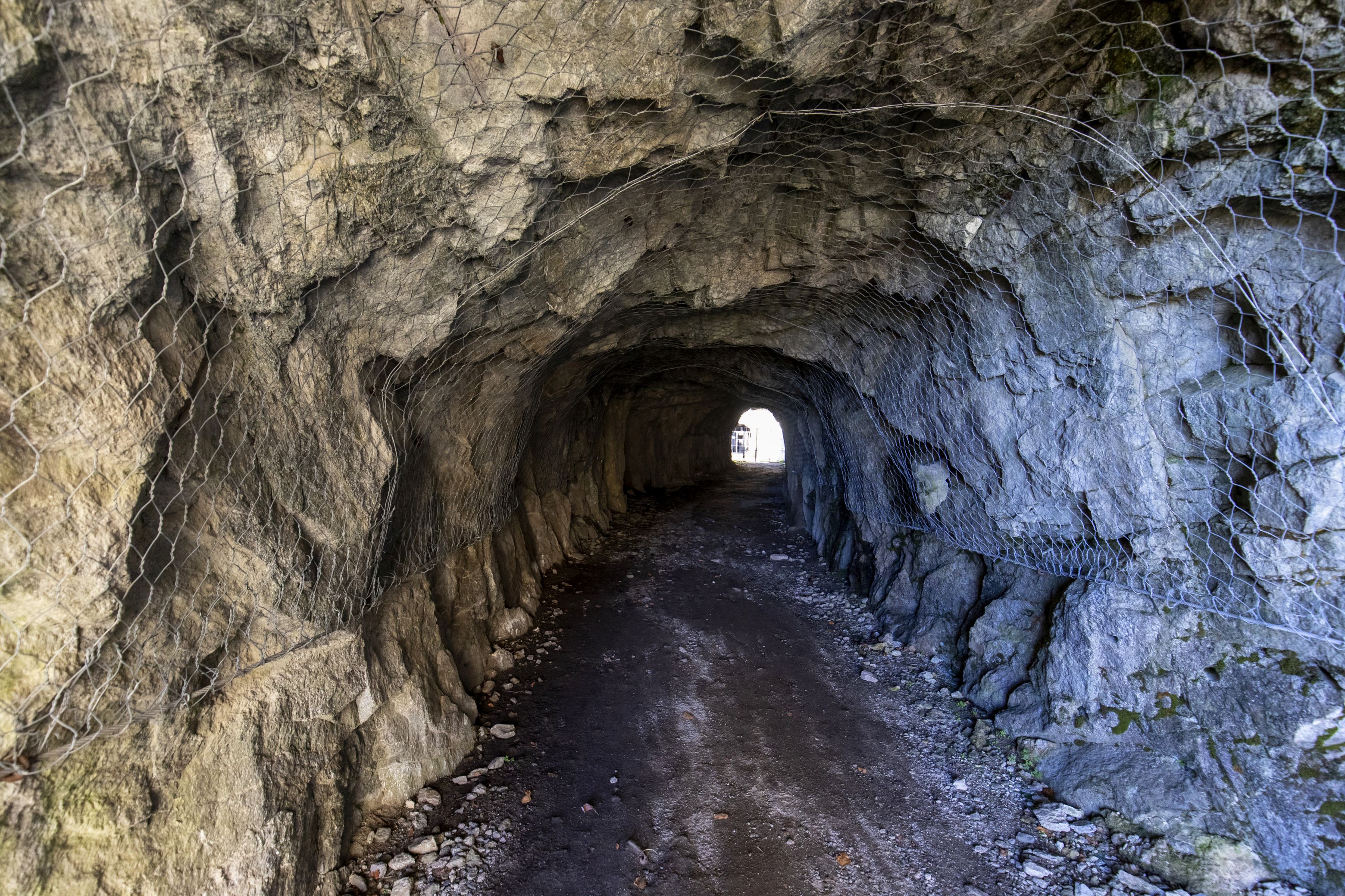
From the historic centre of Vogogna, initially on ordinary roads then on dirt roads, you reach the cycle path that runs along relaxing meadows with flowers, crops and majestic trees until you reach the Natural Oasis of the Bosco Tenso. The route, which is sometimes used by mixed users, crosses the provincial road again near the Migiandone Bridge. Here following the ordinary road you reach Migiandone, a hamlet of Ornavasso, where you re-enter on paved cycle path that leads to the Punta di Migiandone, from which also the route of the Cadorna Line starts. The path leads to the Fort of Bara, going up with hairpin bends with regular slope flanked by trenches and cave posts. Here it ends the second stretch of the Toce Cycle Path, known as “cycling through the woods”.
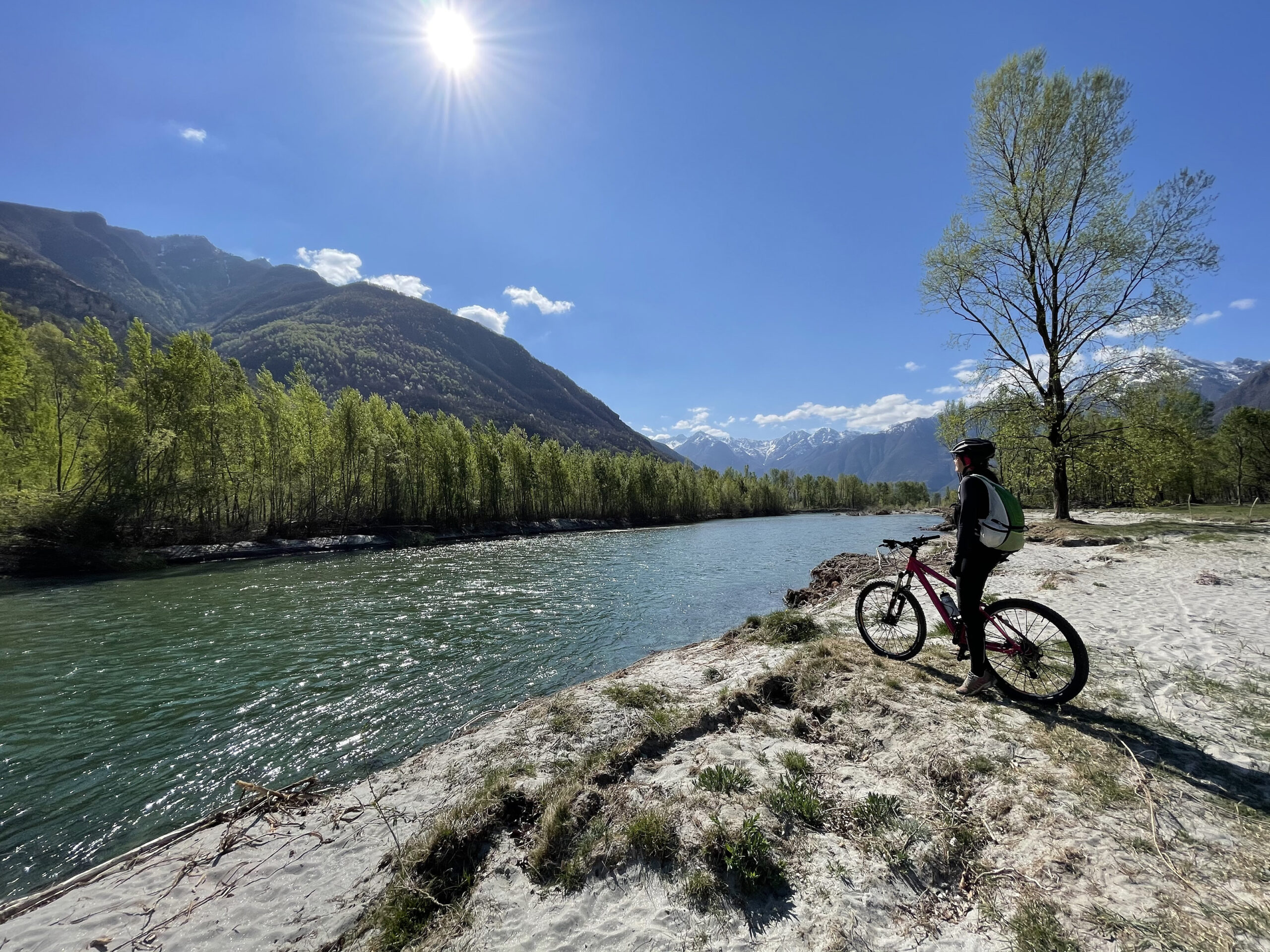
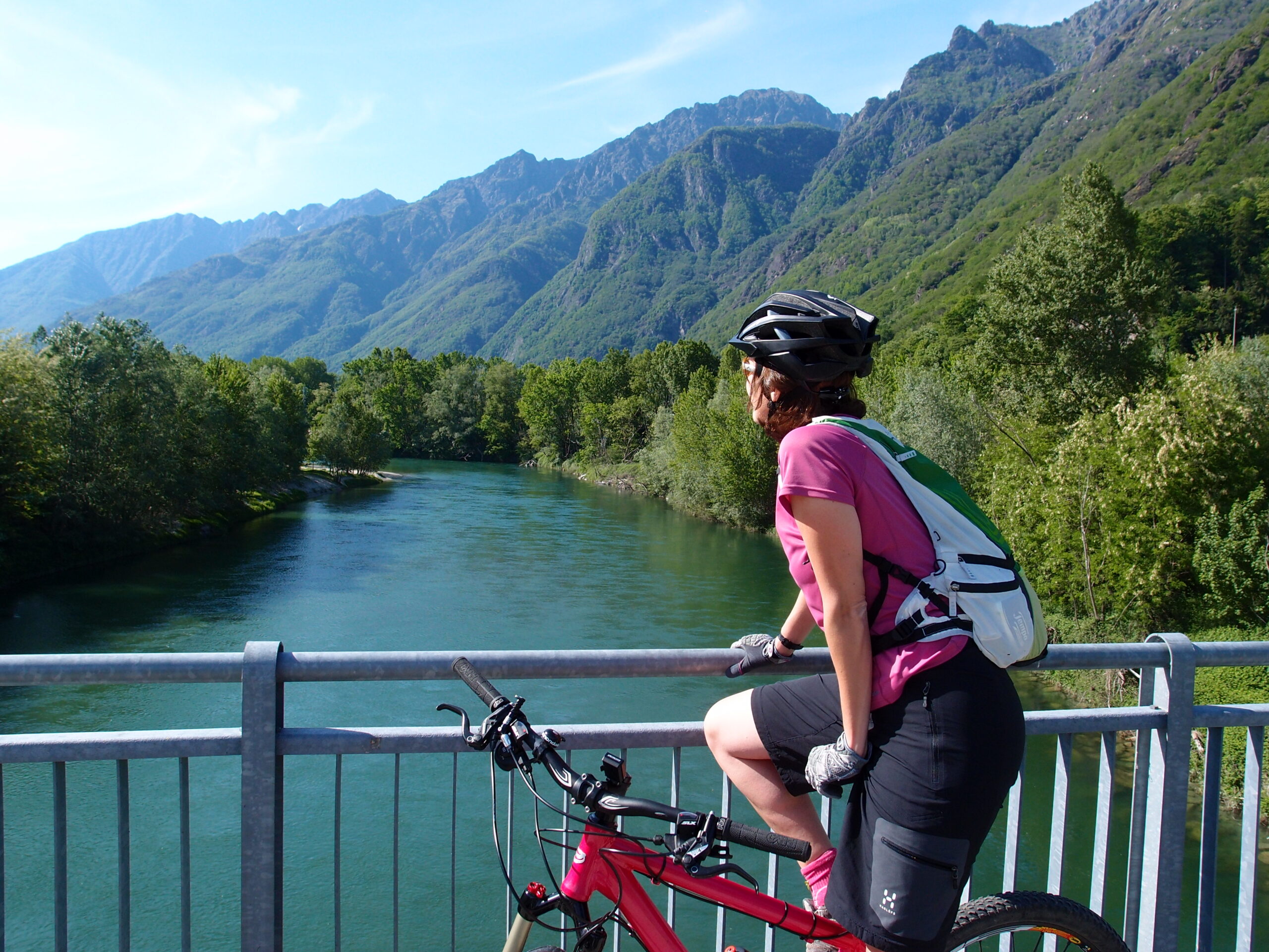
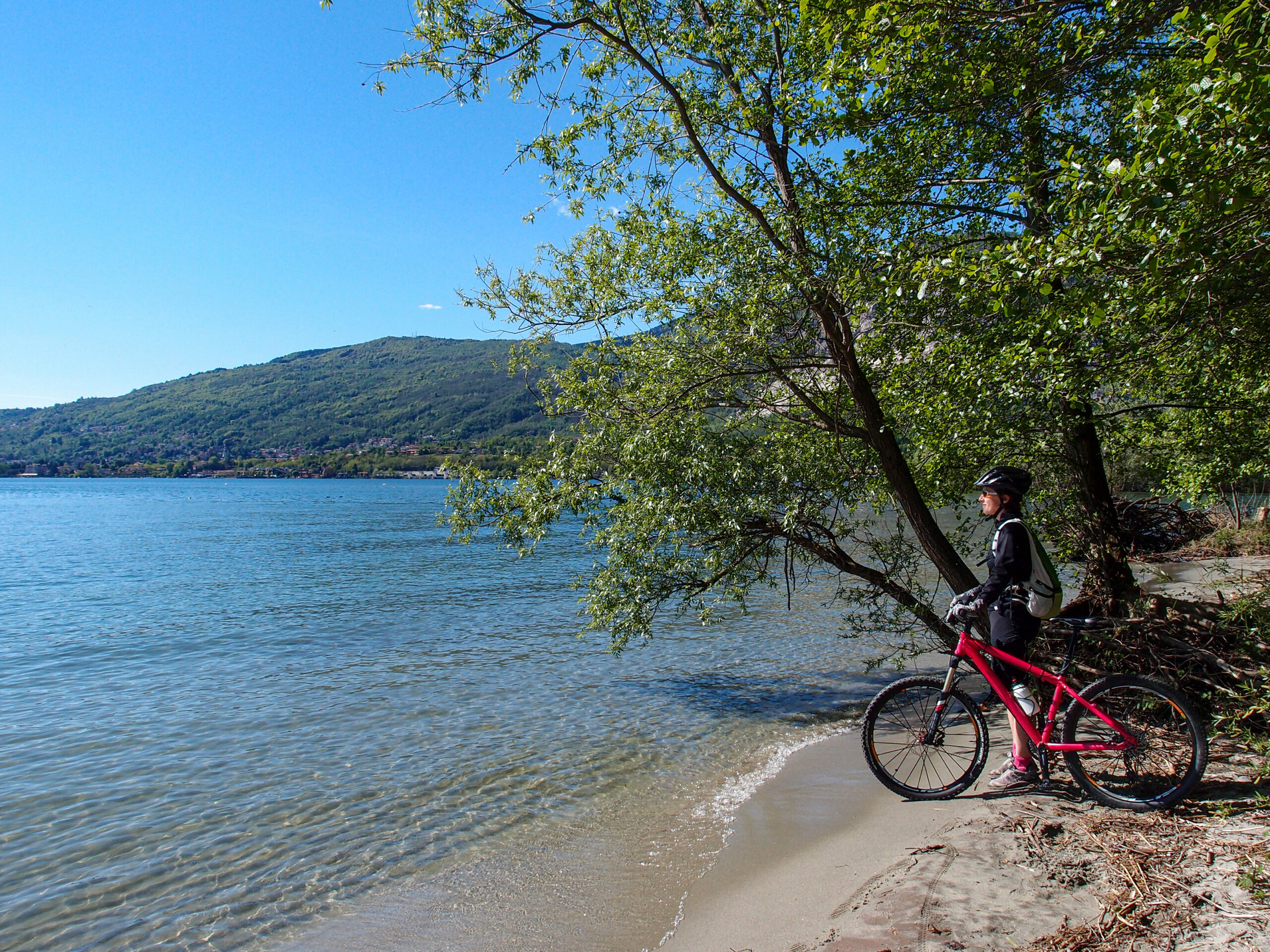
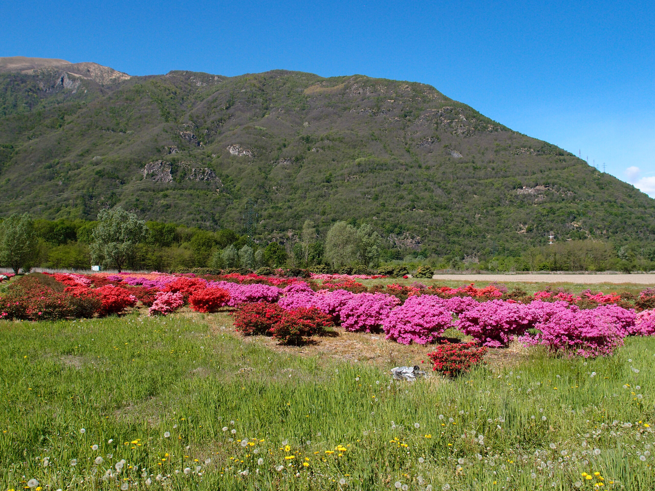
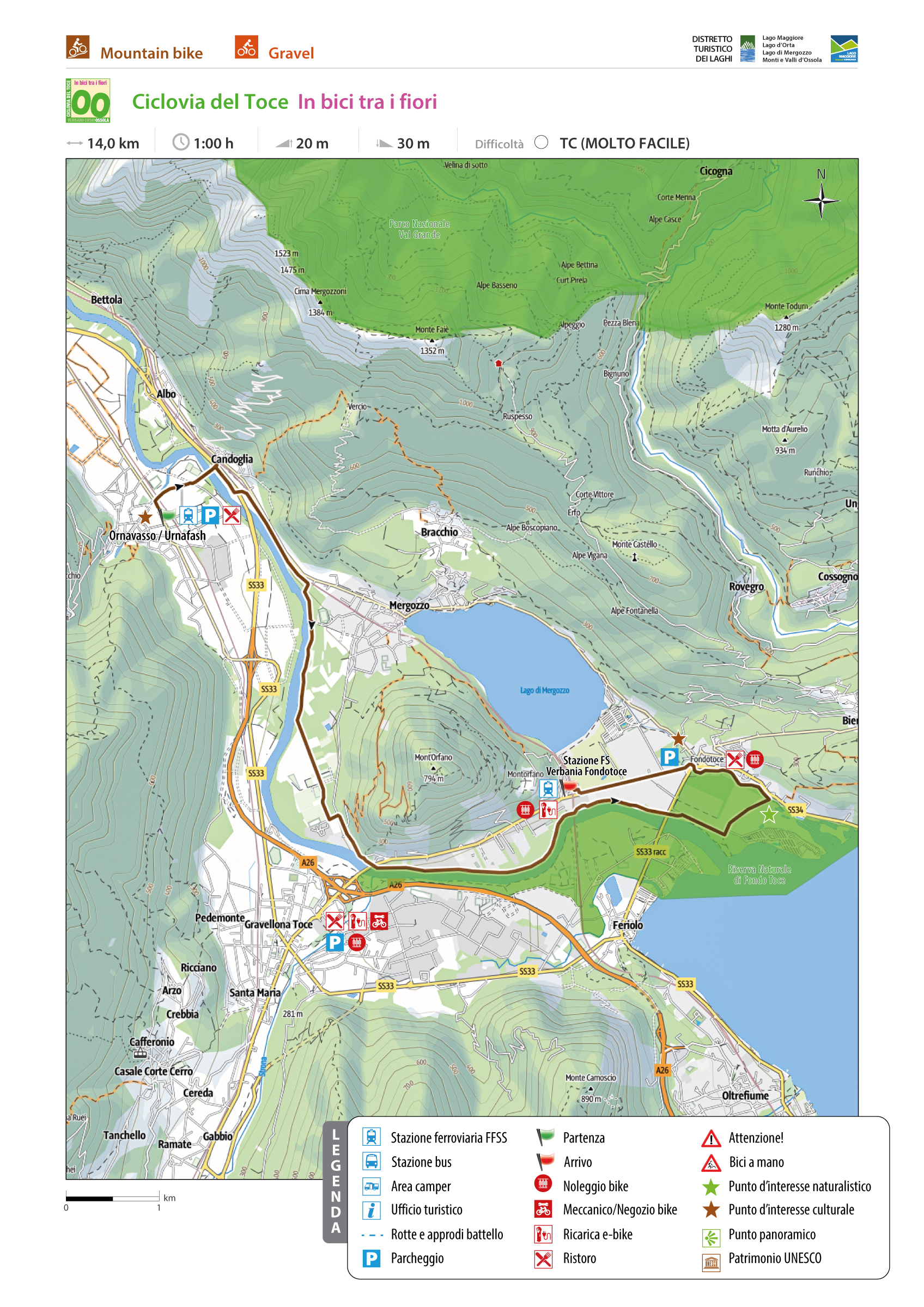
From the road bridge over the Rio San Carlo continue towards the sports field. From here a beautiful pedestrian walkway crosses the Toce River offering beautiful views of the watercourse, the thick riparian vegetation and the steep spires of the Corni di Nibbio, the mountain chain which separates the Valle d’Ossola from the Valgrande. From the footbridge, continue on the left bank of the Toce River, on a cycle path. The environment is very suggestive: the banks of the river have lush vegetation and sometimes open clearings where you can grow the typical flowers of Lake Maggiore. You cross the junction for the sports field of Mergozzo (we recommend a visit to the village overlooking the lake, awarded the recognition of “Orange Flag of the Italian Touring Club) and finally the bike path ends near the former incinerator. From here, for a short distance, return to ordinary road and take the natural (dirt) path of the Natural Reserve of Fondo Toce Biosphere Reserve MAB-UNESCO (www.parcoticinolagomaggiore.it). The cycle path continues along the left bank of the Toce River to reach the campsite area of Fondotoce, up to the reeds where there is also an observatory for bird watching, and the canal that connects Lake Mergozzo with Lake Maggiore. At the roundabout of Fondotoce it ends the third stretch of the Toce Cycle Route, defined as “cycling through the flowers”.
From here a paved cycle path leads to the FS station of Verbania Pallanza. The return can be done by going back or using the train.
*** *** ***
Discover here the complete description of the three stretches:
• “by bike between the villages”
• “cycling through the woods”
• “cycling through the flowers”
There is also a fourth stretch called “cycling through the riversides”.
*** *** ***
TECHNICAL ASPECTS
The route is overall easy and almost flat. It can also be tackled with trekking bicycles.
For families with young children, we point out the Domodossola- Collina dello Sport section as particularly suitable.
TECHNICAL DATA
Relevant geographical area: Verbano Cusio Ossola / Ossola Valley
Place of departure: Domodossola – Train Station
Place of arrival: Fondotoce – Train station Verbania Pallanza
Number of legs: 1
Length: 47,0 km
Total ascent: 75 m indicativa
Total descent: 140 m indicative
Difficulty: Medium – Easy
Average duration: 4 hours
Minimum altitude: 194 m.a.s.l.
Highest elevation reached: 270 m.a.s.l. (Domodossola station)
Degree of cyclability: total
Recommended period: April -October Doable year-round anyway
Presence of dedicated signage: yes
Target audience: family/ bicycle tourist / cyclo-hike
Back to the list of routes
ARVENOLO AND MURO DEL DIAVOLO
Valle Antigorio
Route description
SEASON From April to October
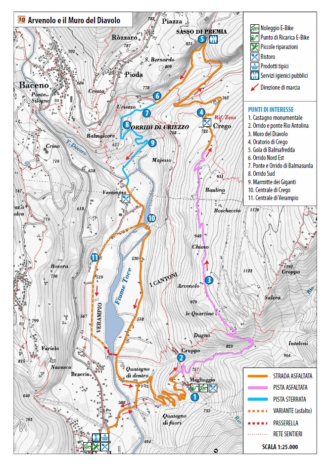
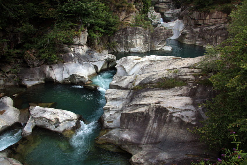
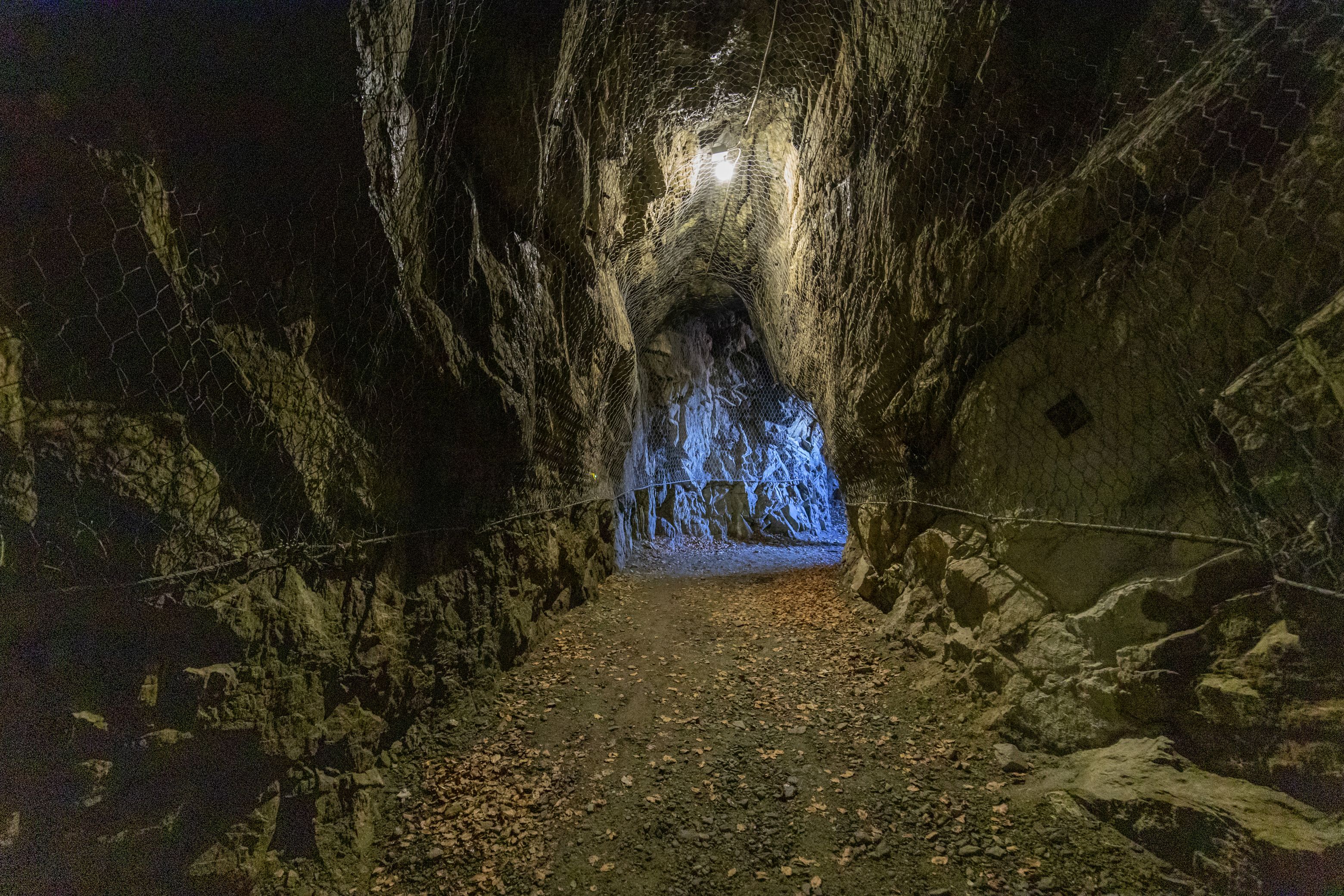
Round tripe on tarmac roads with low traffic and unmade roads, enjoyable and scenic. At Arvenolo the route passes by the so-called Muro del Diavolo (Devil’s Wall), a dry wall megalithic structure made of dry rough-hewn blocks of rock of impressive dimensions, probably used for religious purposes.
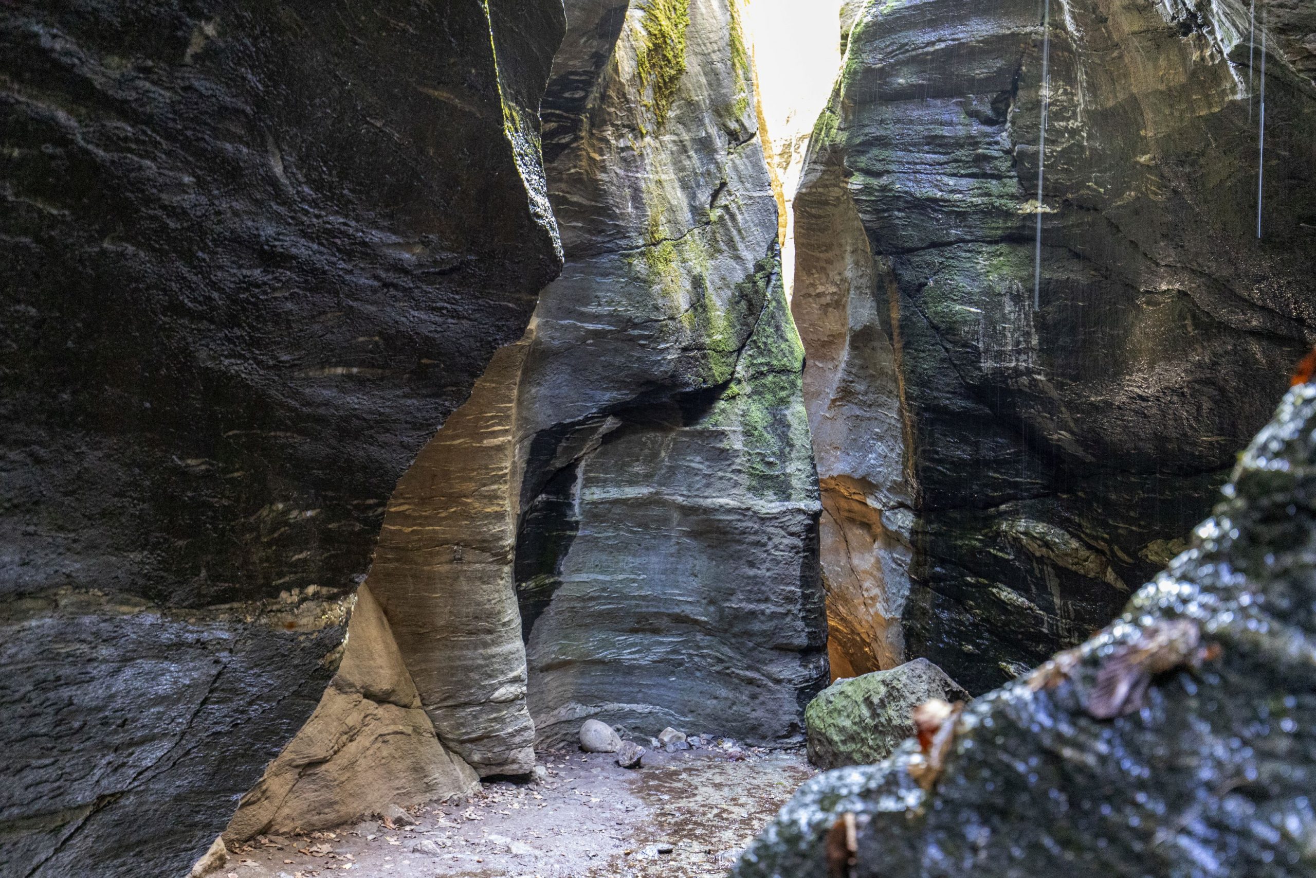
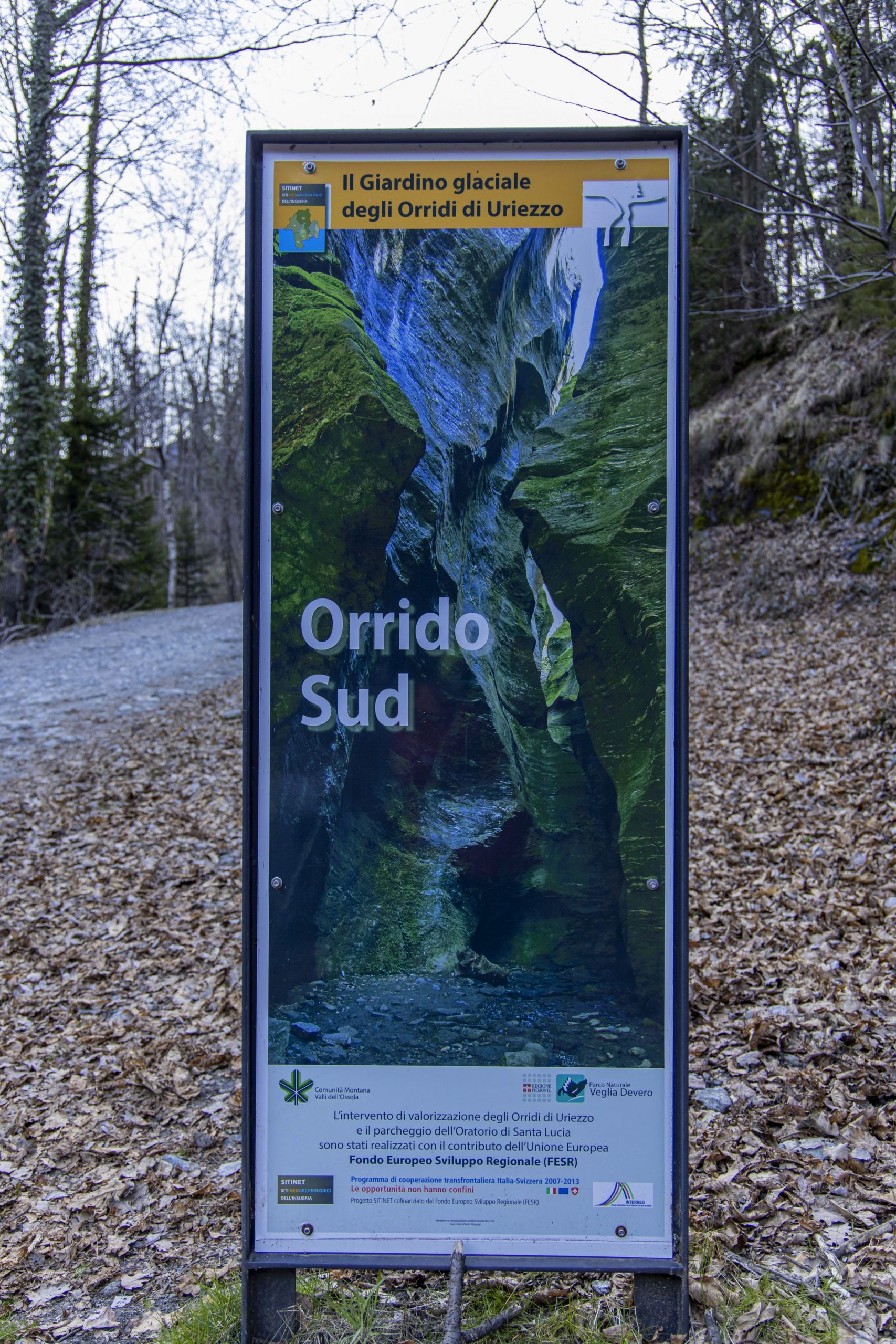
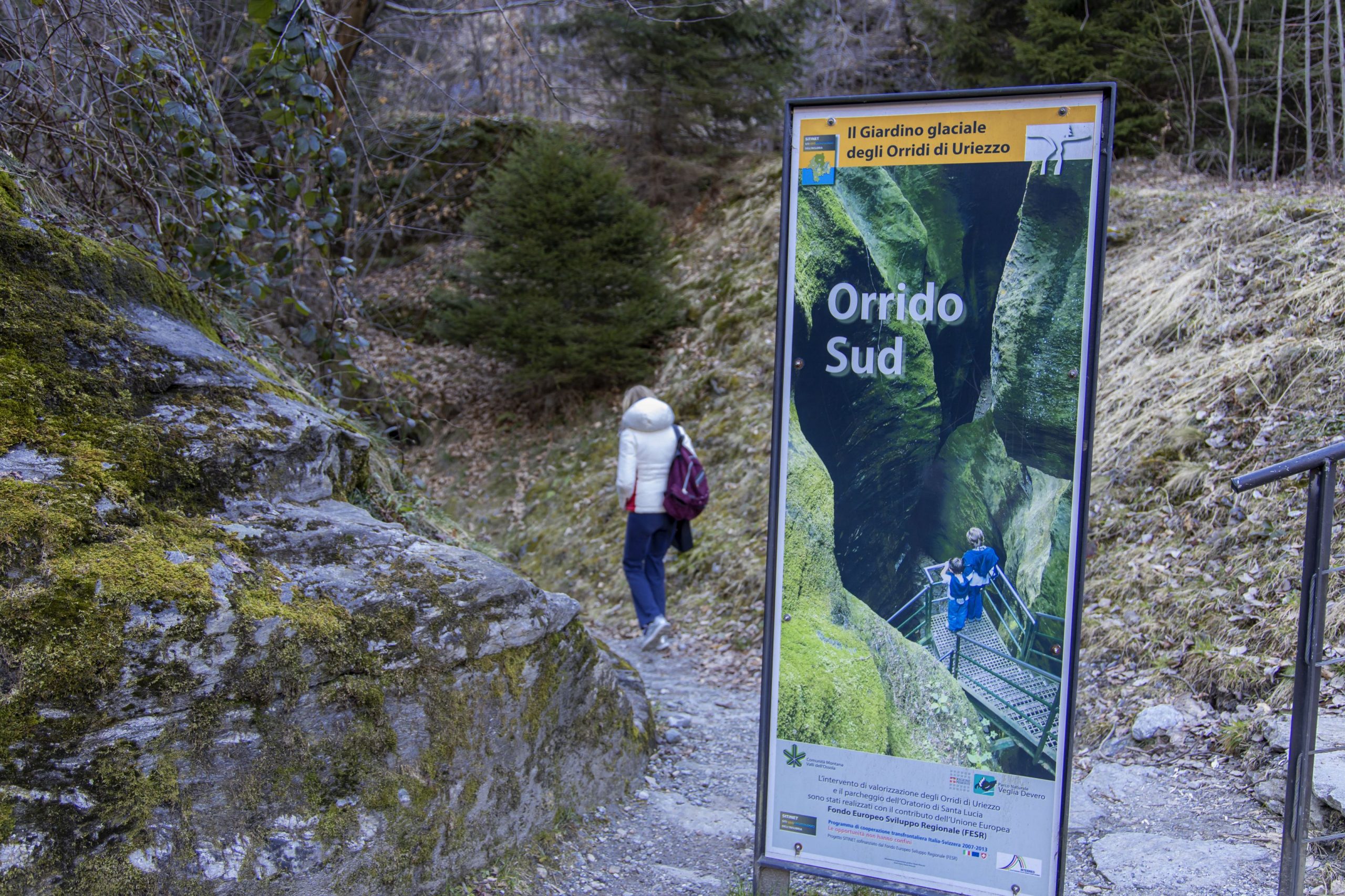
The route starts from the car park at the Trattoria Campagna in Verampio (525 m). Following the signs for Orridi di Uriezzo (Uriezzo Ravine), take the unmade road that first fords the River Devero and then gradually climbs. First you come to Ponte di Maiesso (Maiesso Bridge) with the beautiful giants’ potholes dug out of the white rock and then continue along the track (do not cross over the bridge) until you reach the mouth of the Orrido Sud (South Ravine), a deep gorge in rock equipped with metal ladders for visitors. After the visit to the ravine the route continues along the track up to the Oratorio di Santa Lucia (Oratory of Saint Lucy) where the road once again becomes tarmac. Follow the road up to Balmafredda with an impressive gorge excavated in the rock and equipped as a site for rock climbing. At the fork turn right to Crego and continue along the road until you reach this beautiful outlying village with its beautiful oratory. From Crego continue along the asphalt track that climbs with some steep stretches to Arvenolo and then descends (caution! Some hairpin bends are very steep) to the bridge over the Rio Antolina and then to Maglioggio. From the village you can follow the paved road or take the hairpin turns along the beautiful paved mule track that leads to the bottom of the valley. When you reach the flat turn right and follow the pleasant road on the flatland that passes through beautiful meadows and arrives at the old ENEL power station of Verampio where it crosses the River Toce on the bridge and returns to Trattoria della Campagna.
AUTHOR Alessandro Pirocchi
Back to the list of routes

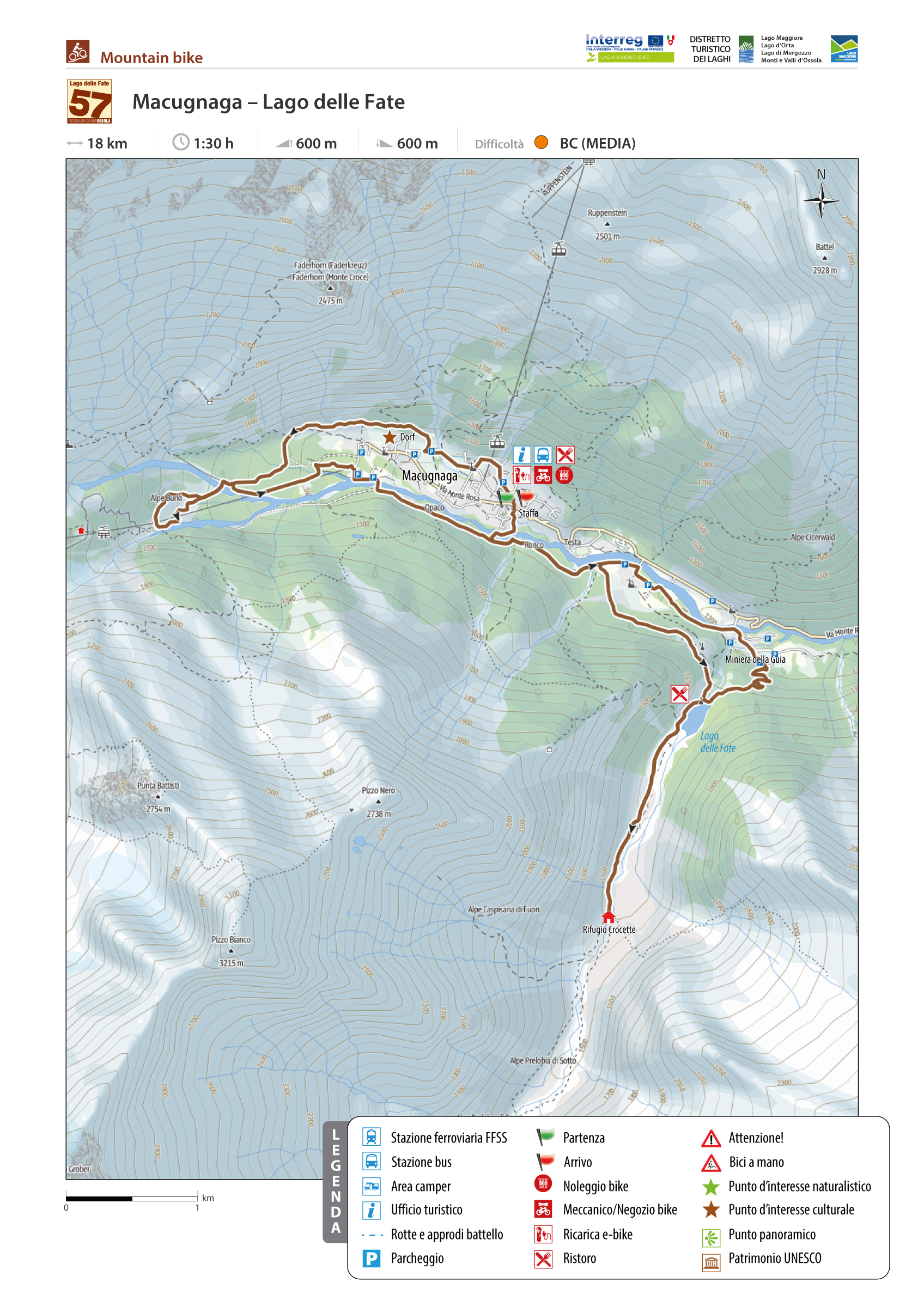
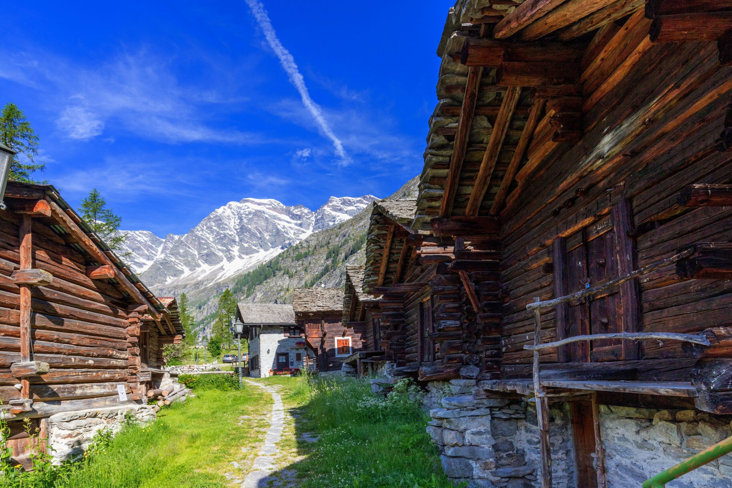
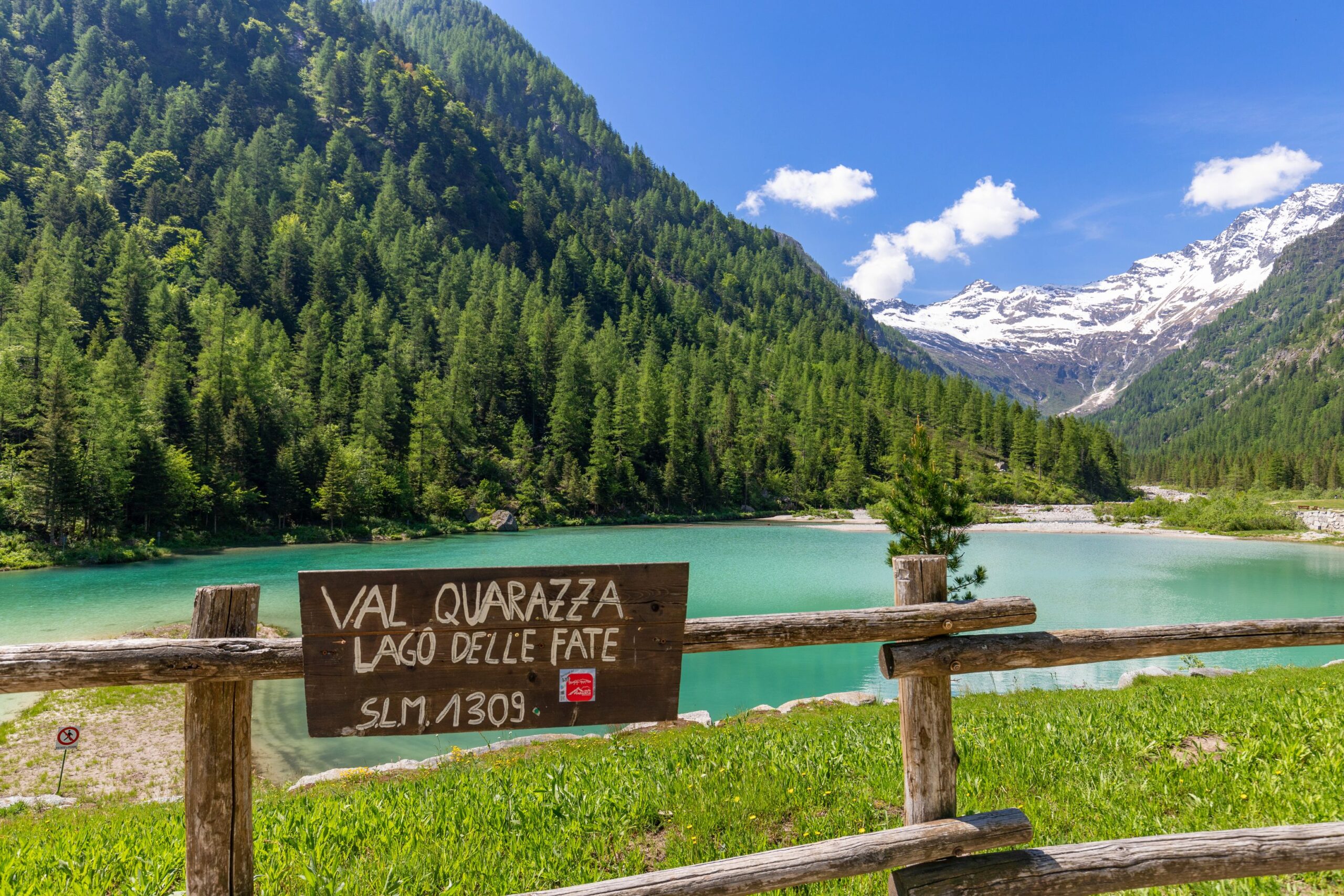
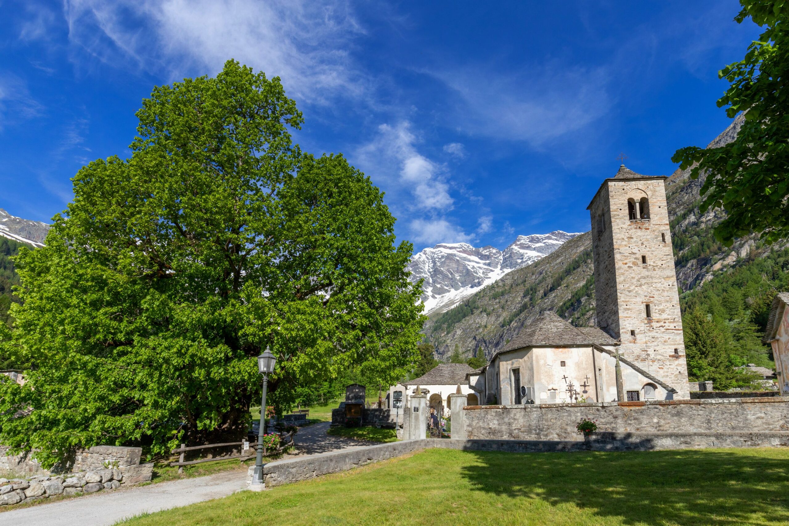
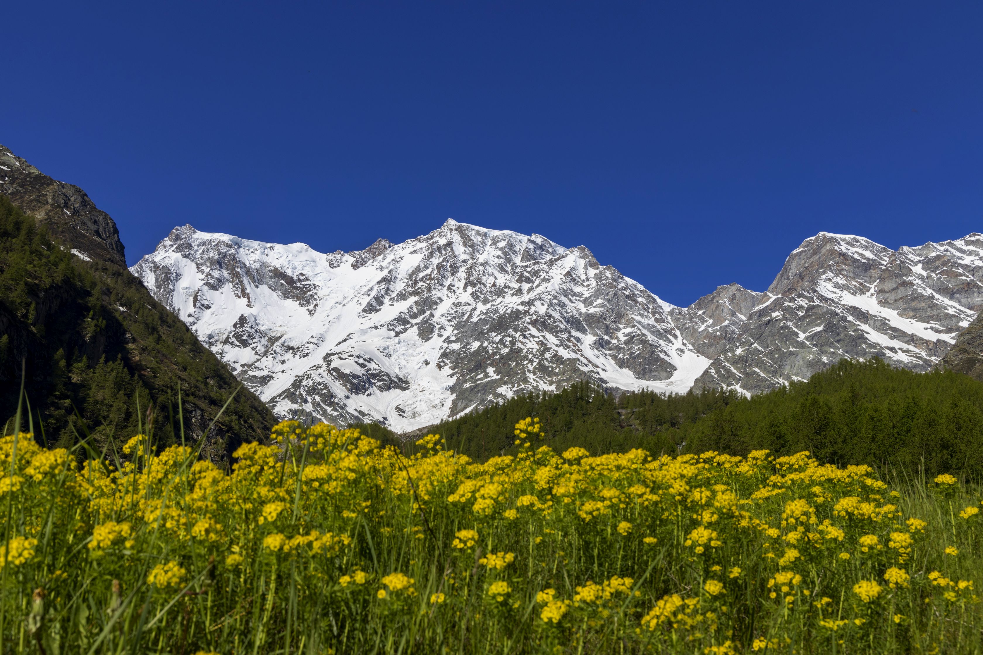
MACUGNAGA AND LAGO DELLE FATE
Valle Anzasca
Route description
Loop trail among the hamlets of Macugnaga, at the foot of the spectacular East Face of Monte Rosa, with ascent to Alpe Burki and the enchanting Lago delle Fate (Fairy Lake) in Val Quarazza.
Back to the list of routes
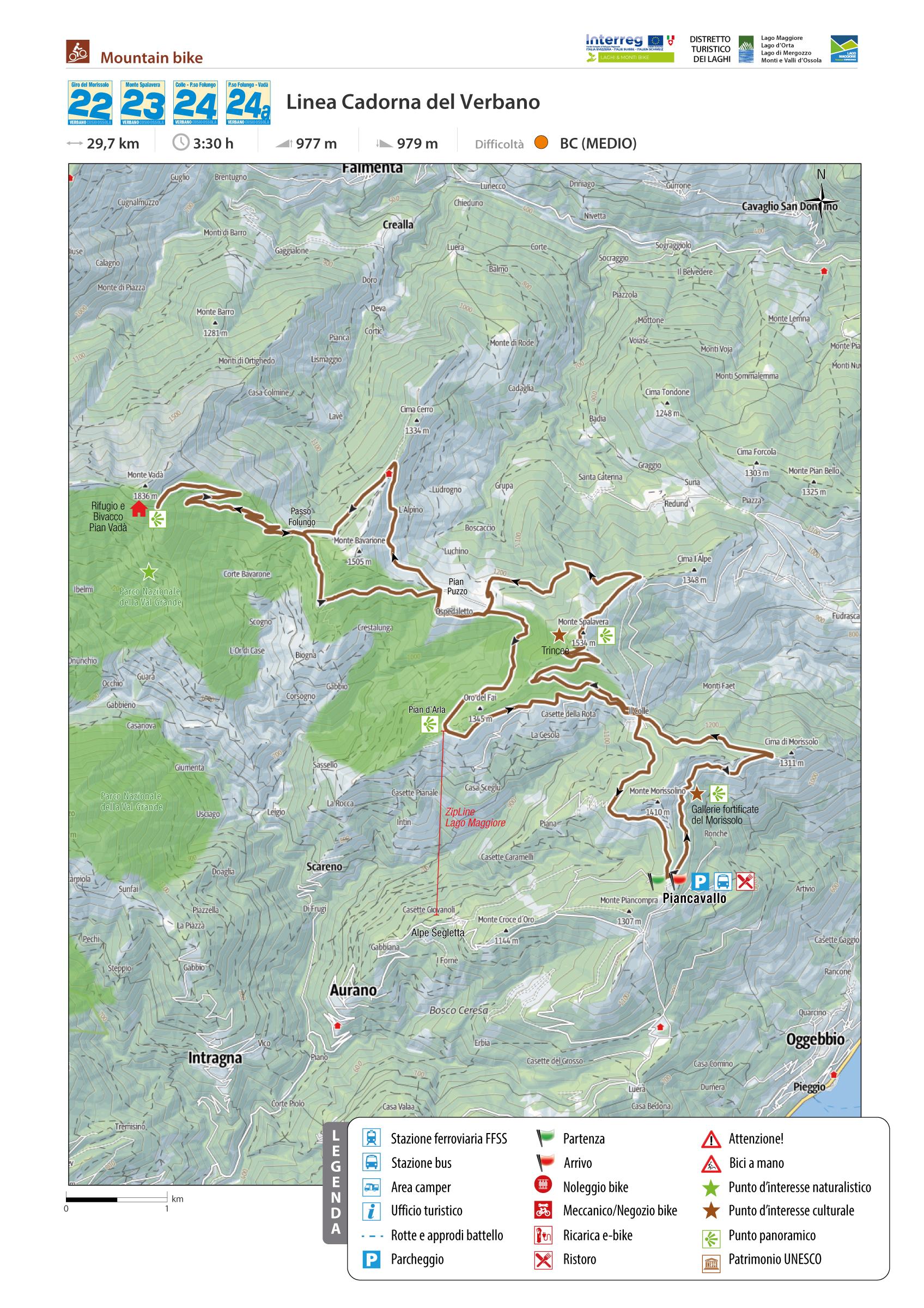
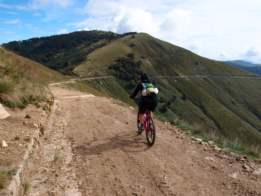
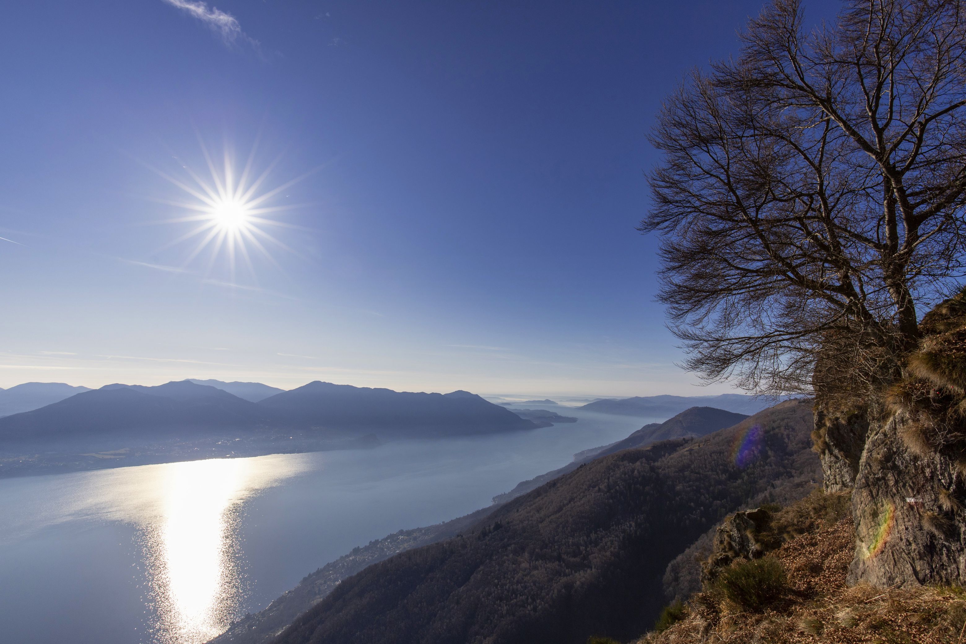
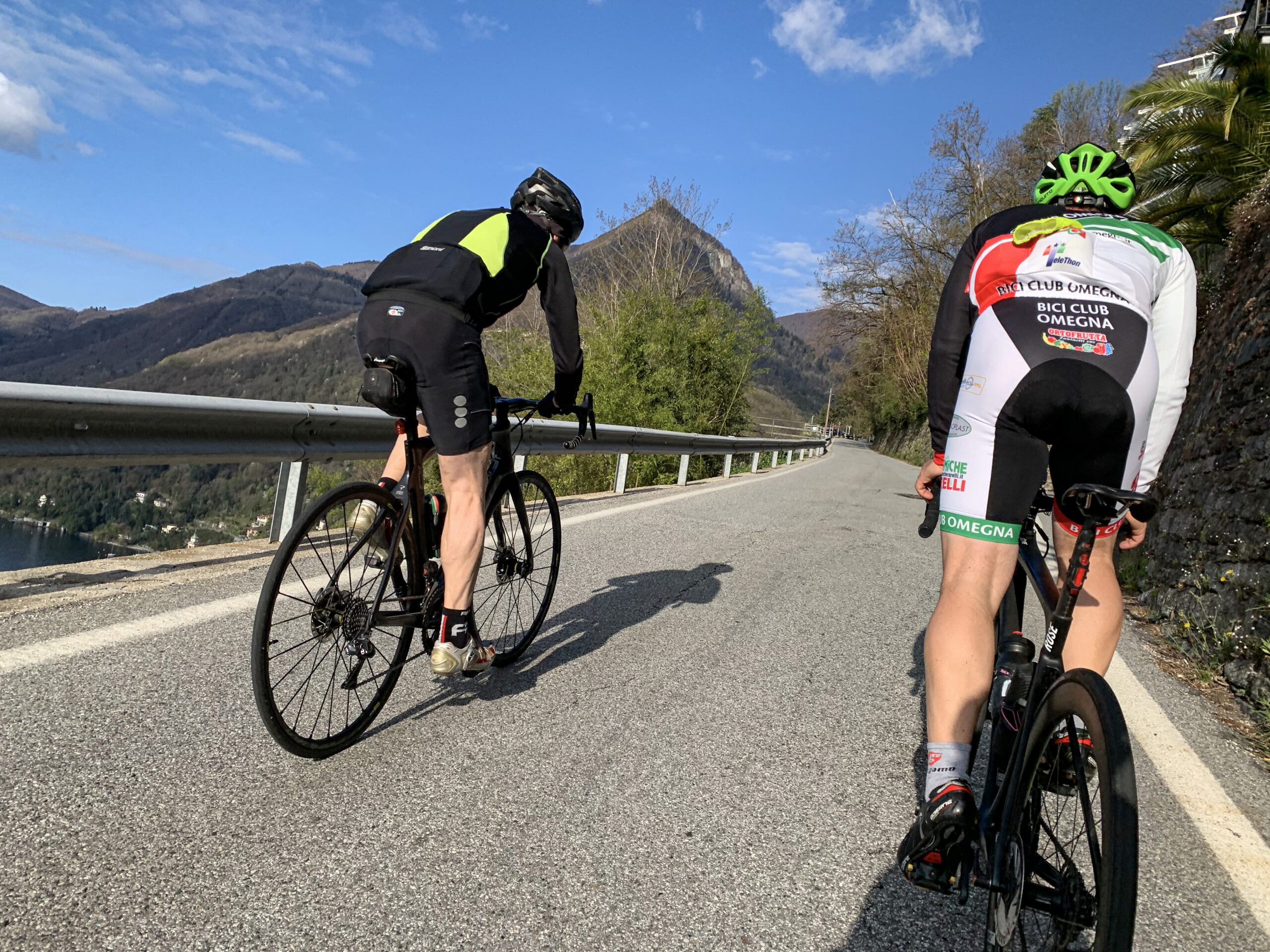
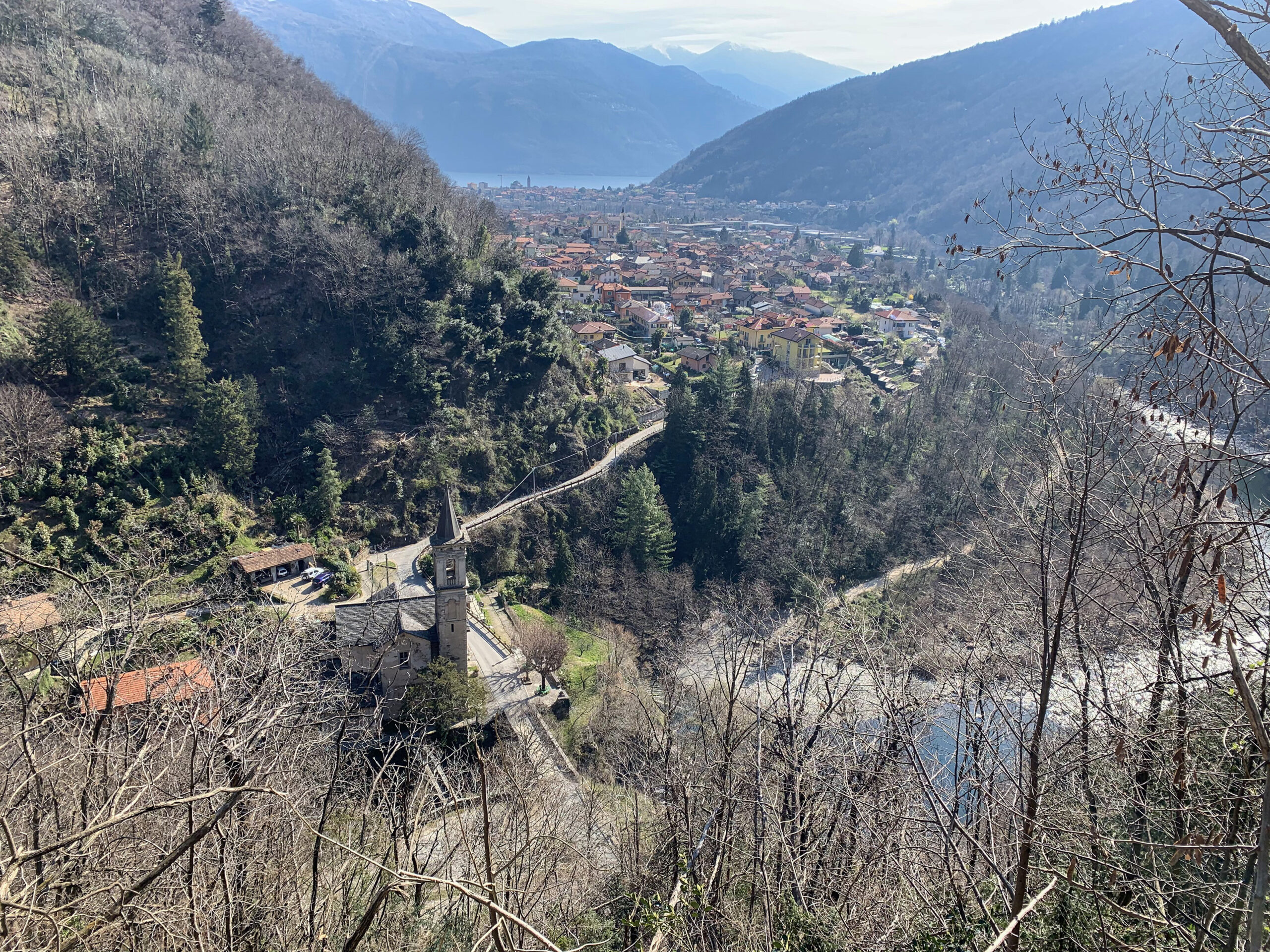
ALONG THE CADORNA LINE OF VERBANO
Lago Maggiore
Route description
It is one of the most beautiful tours the area has to offer.
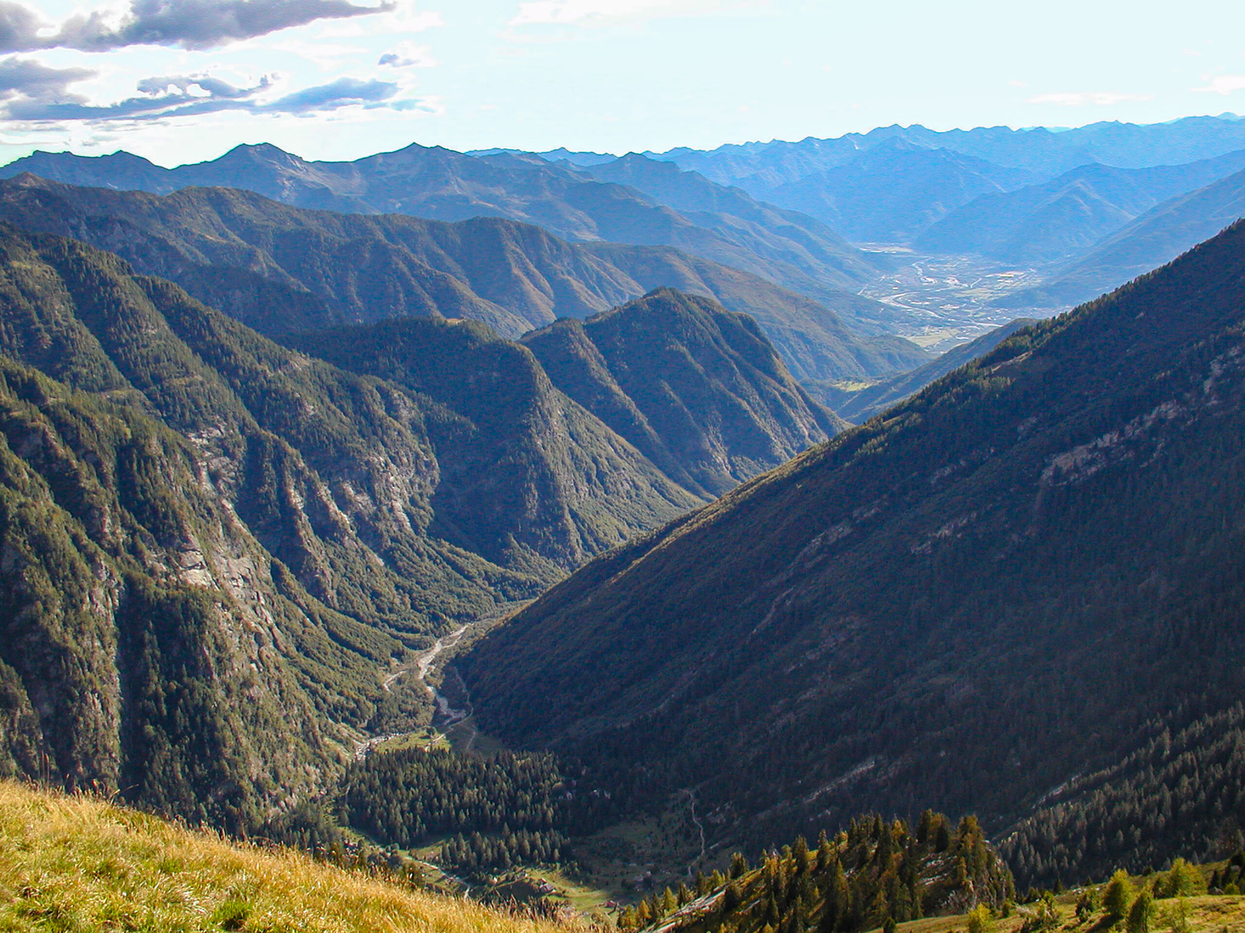
From Cima Spalavera peak at the foot of Monte Zeda, “war trails of Line Cadorna” turned into “peace trails” on Lake Maggiore’s western side between the Oggebbio and Aurano municipalities.
Back to the list of routes
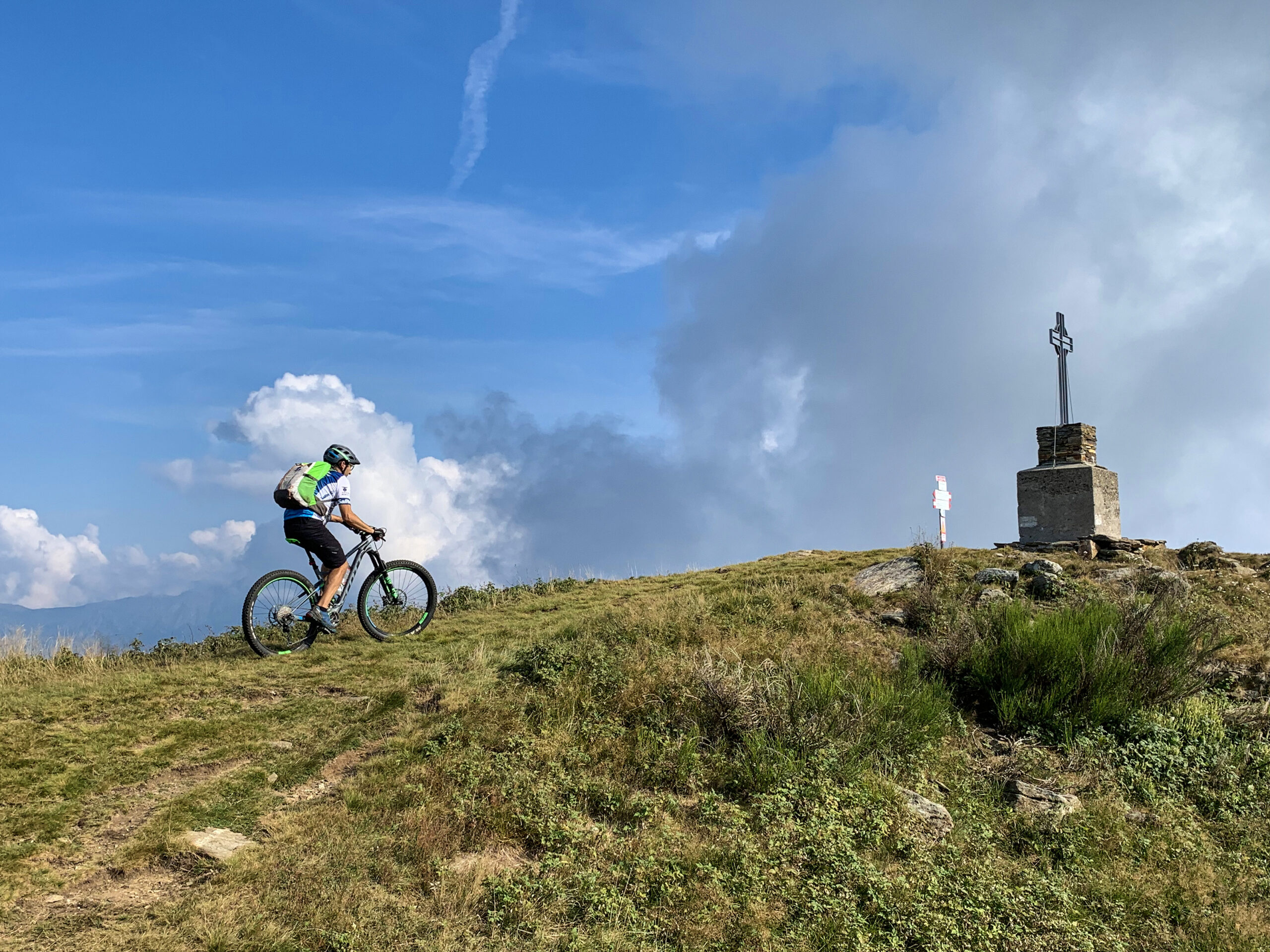
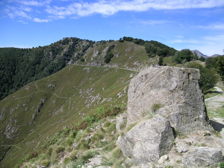
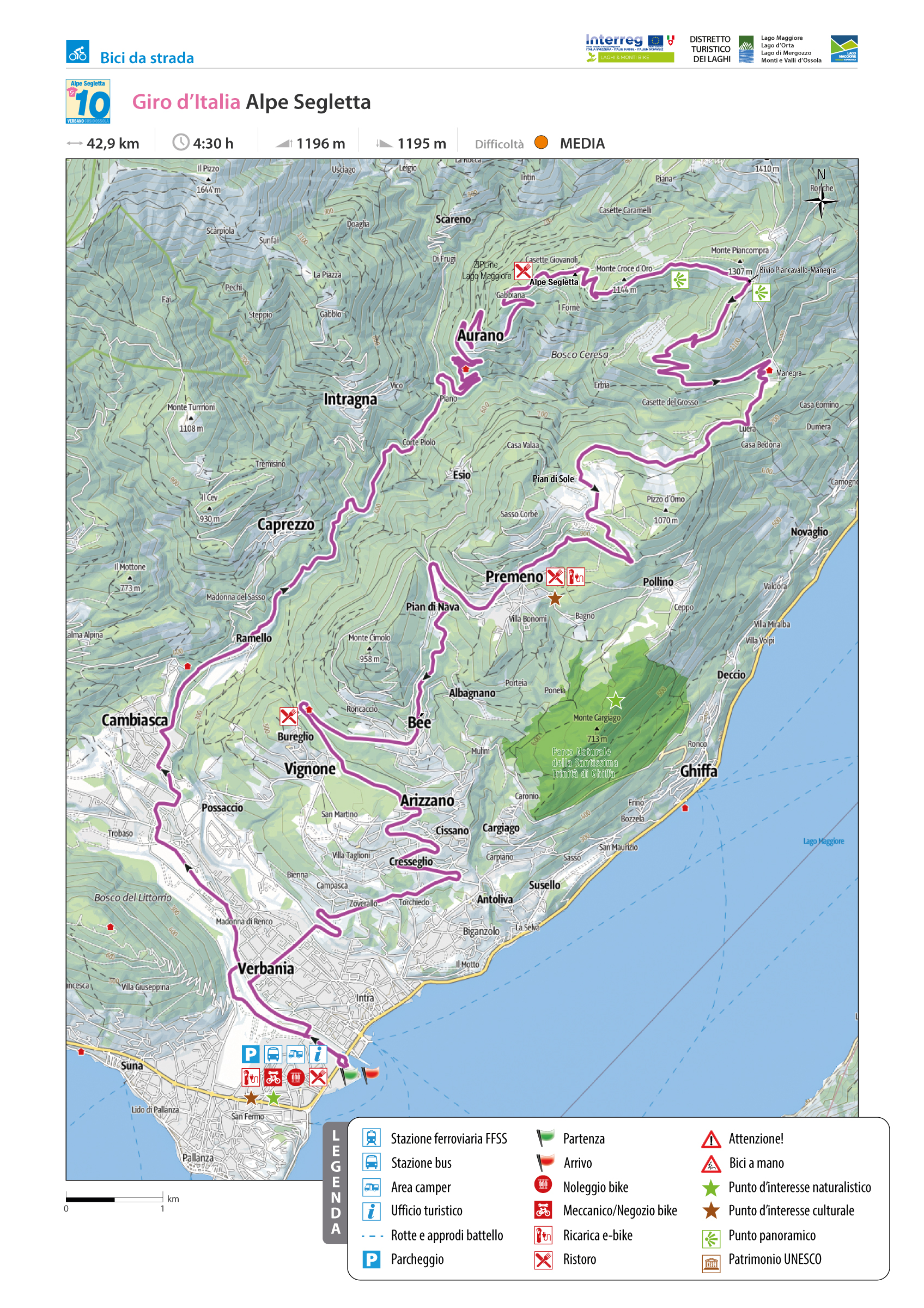
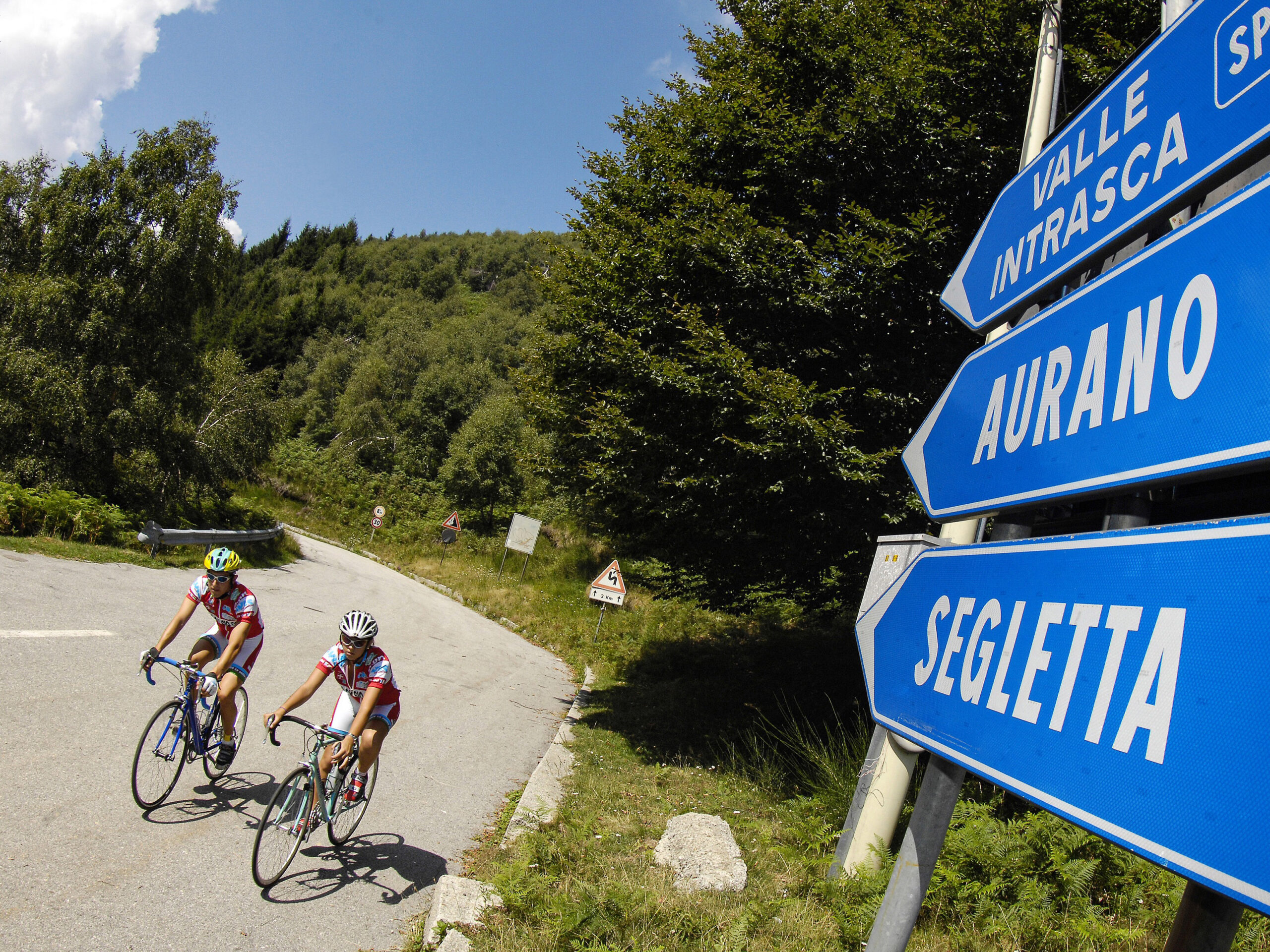
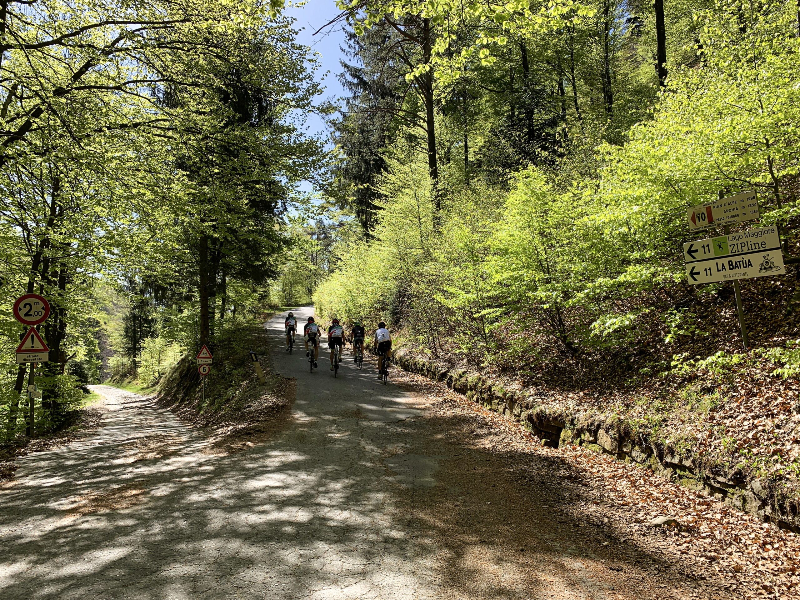
GIRO D’ITALIA: ALPE SEGLETTA
Alto Verbano
Route description
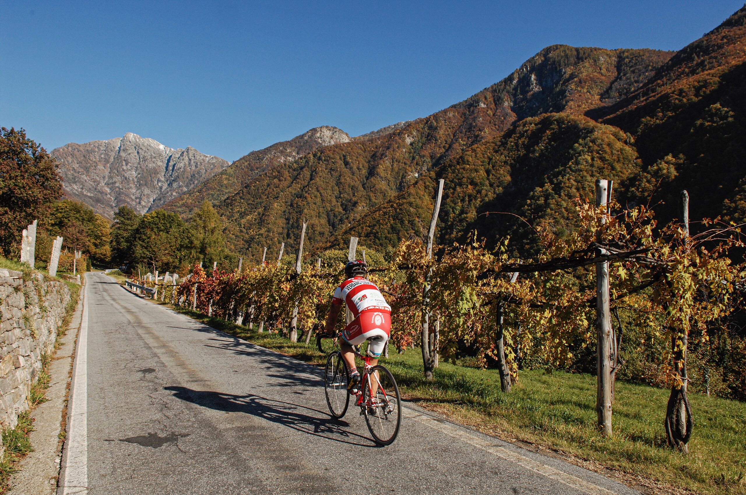
The year was 1992, when the 75th Giro d’Italia, which counted champions such as Indurain, Chioccioli, Chiappucci, and Fignon, brought to the fore one of the climbs hitherto unknown to most: the Alpe Segletta, a climb of 8 km and 500 meters with an average gradient of 9%.
It is one of the most coveted climbs for hikers because of its roughness and the striking environment in which it is pedaled.
Back to the list of routes
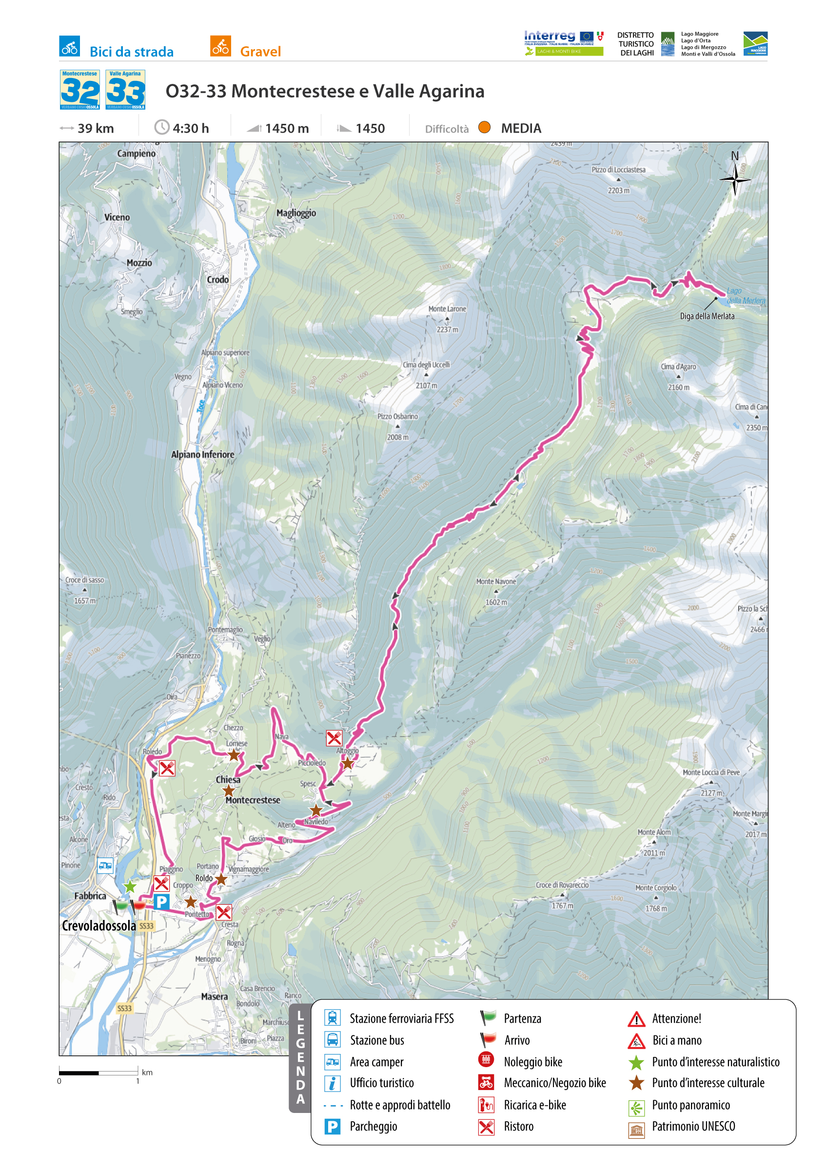
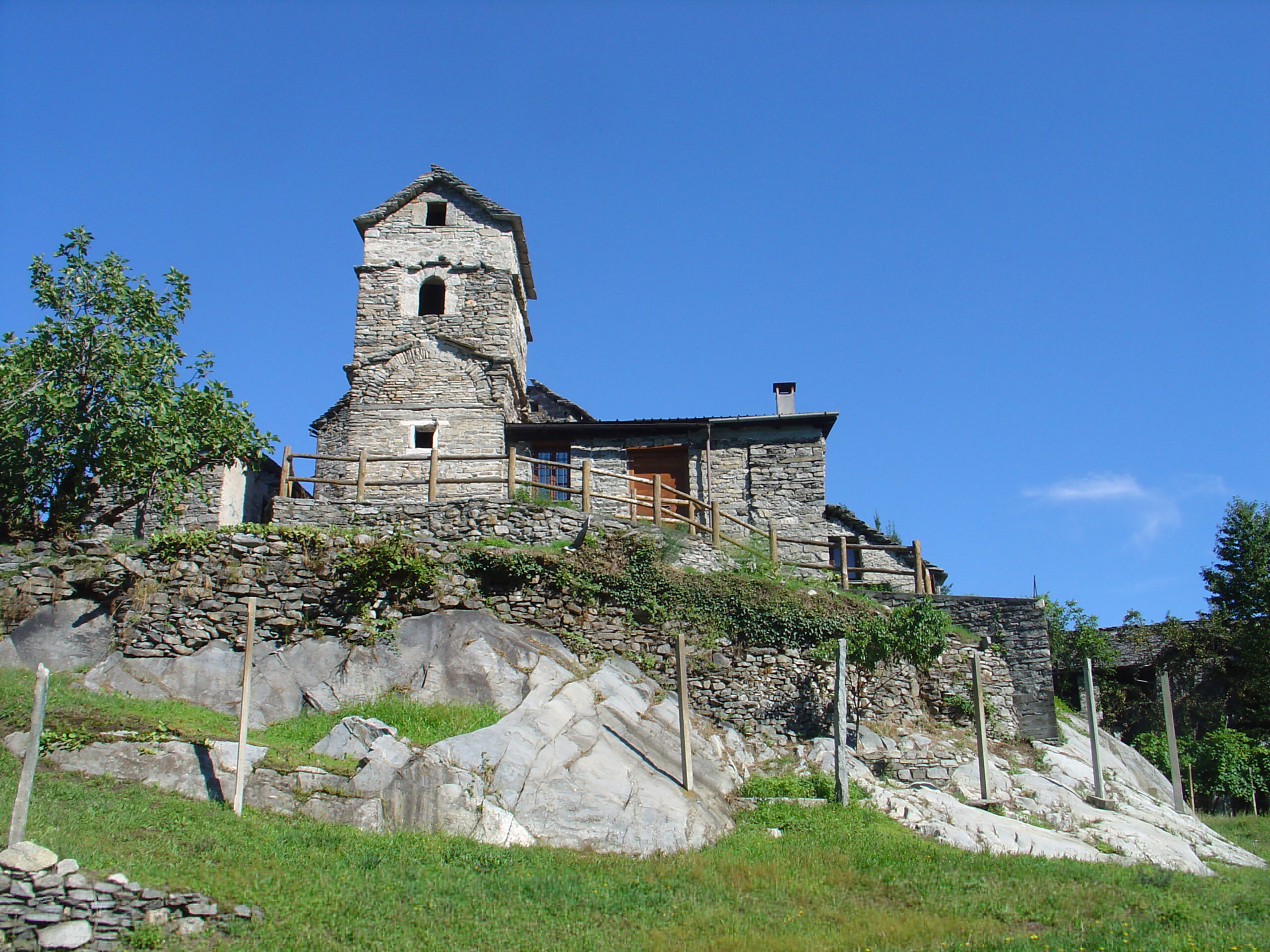
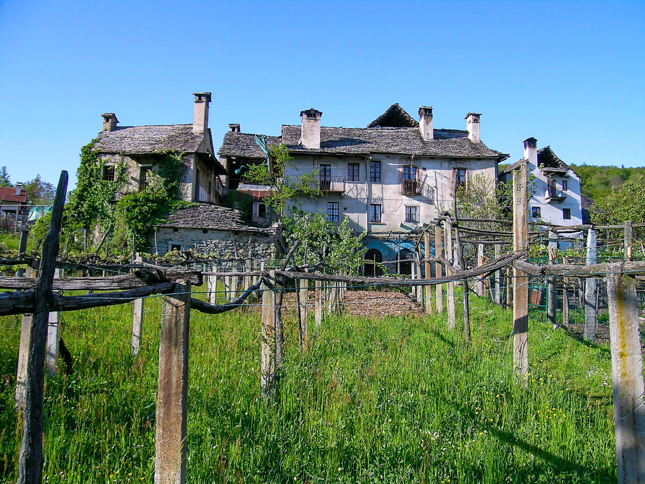
Route to discover the ancient rural hamlets of Montecrestese and the wild Isorno Valley
MONTECRESTESE AND AGARINA
Domodossola e dintorni
Route description
In the lower part, you can make a loop tour: each hamlet reveals admirable examples of stone architecture, frescoes, churches, oratories, and artifacts of peasant culture (wine presses, washing ovens, water wells).
The second part of the route leads to the discovery of the sunken and uninhabited Isorno Valley, which retains the charm of a wild and inaccessible territory.
To access it, take the only consortium access road that reaches the Agarina huts.
With gravel or mtb bikes, you can continue for about 3.5 kilometers more to the Merlata pond.
Back to the list of routes
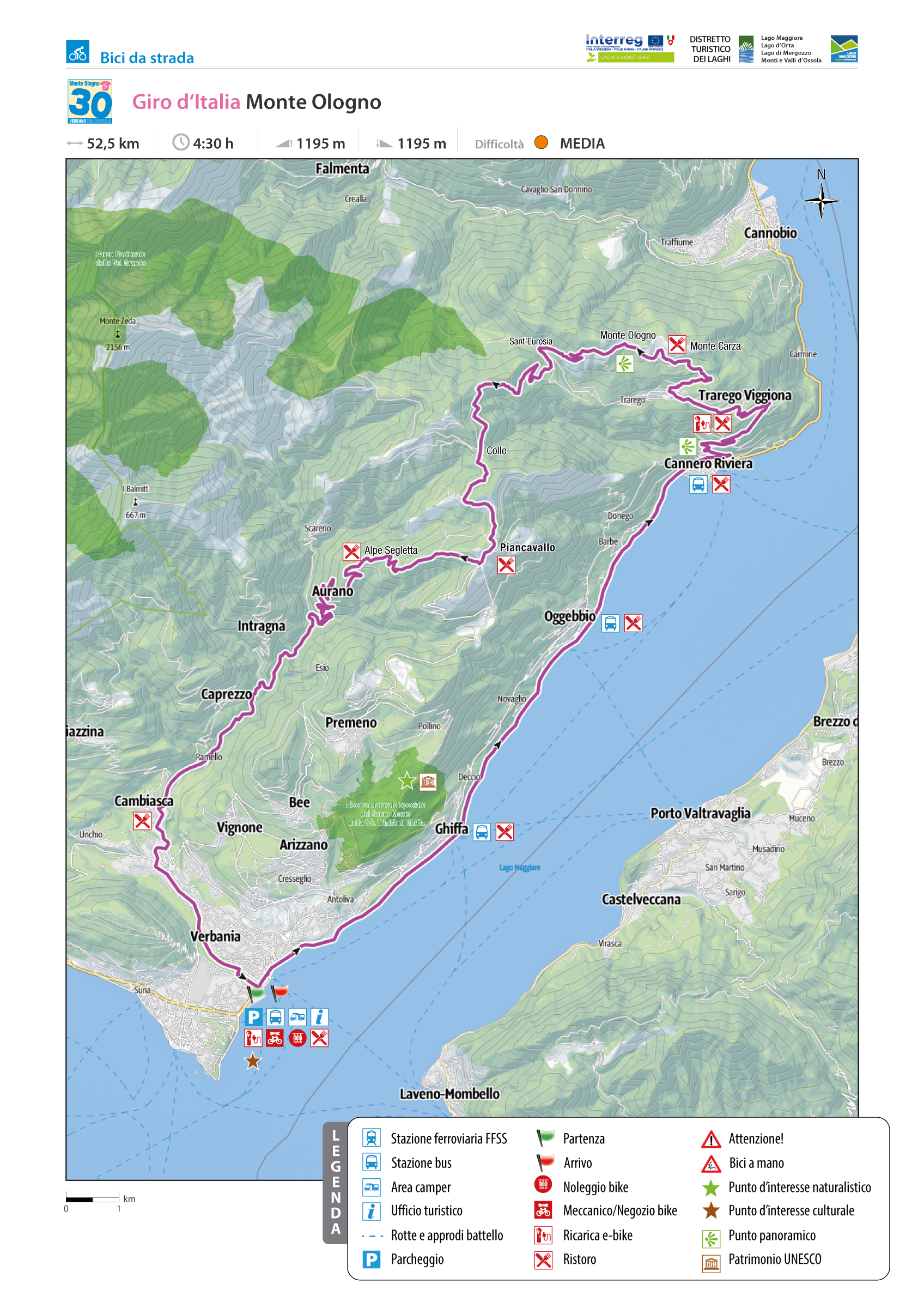
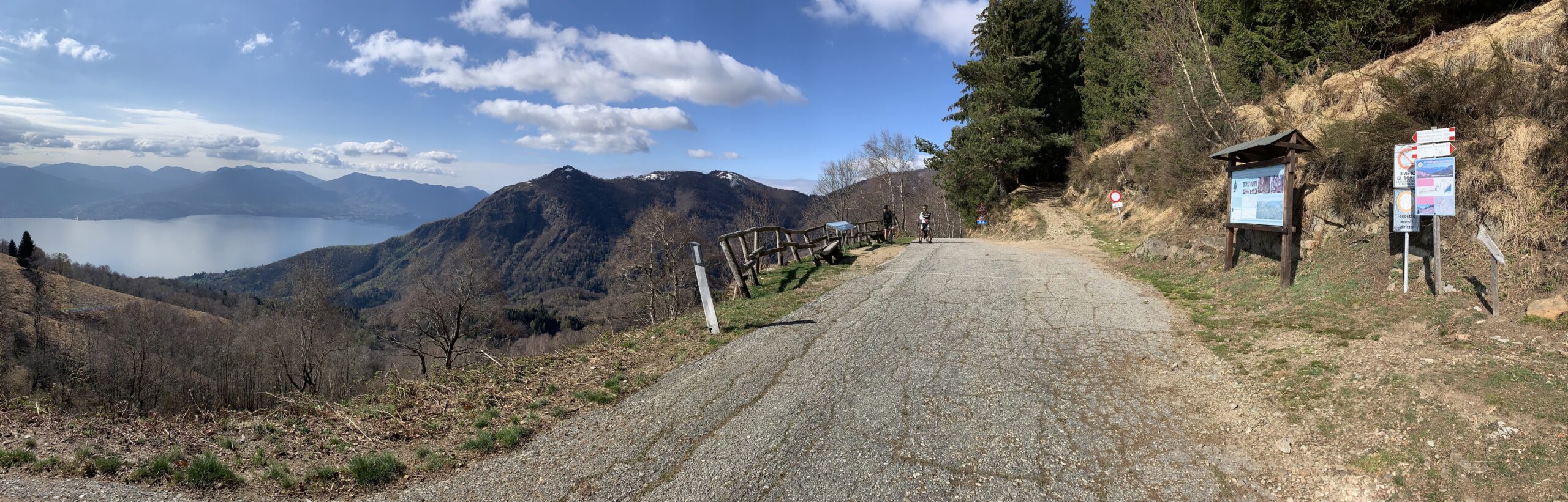
GIRO D’ITALIA: MONTE OLOGNO
Alto Verbano
Route description
From Lake Maggiore to the foot of Monte Ologno, where the 18th Melide > Verbania stage of the 98th professional Giro d’Italia passed through in 2015, the climb is considered to be of the first category with its average gradient of 9% over 10 km.
Back to the list of routes
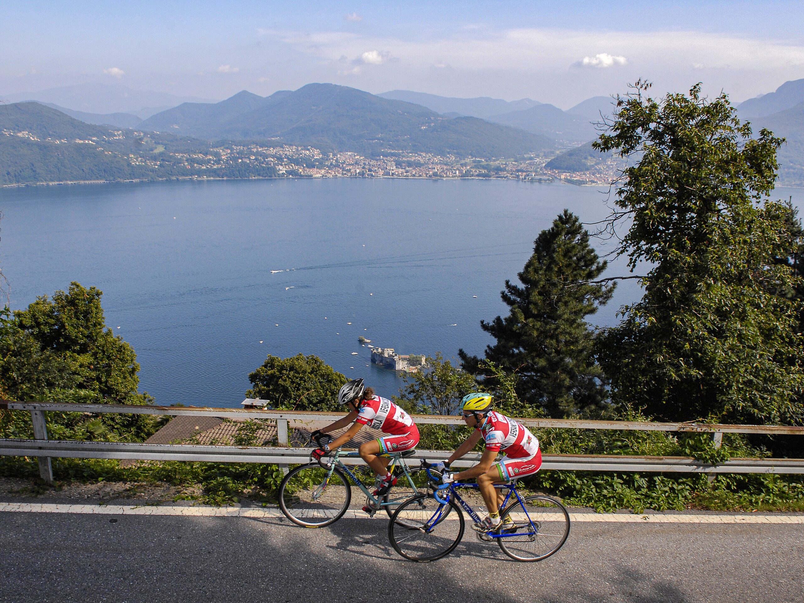
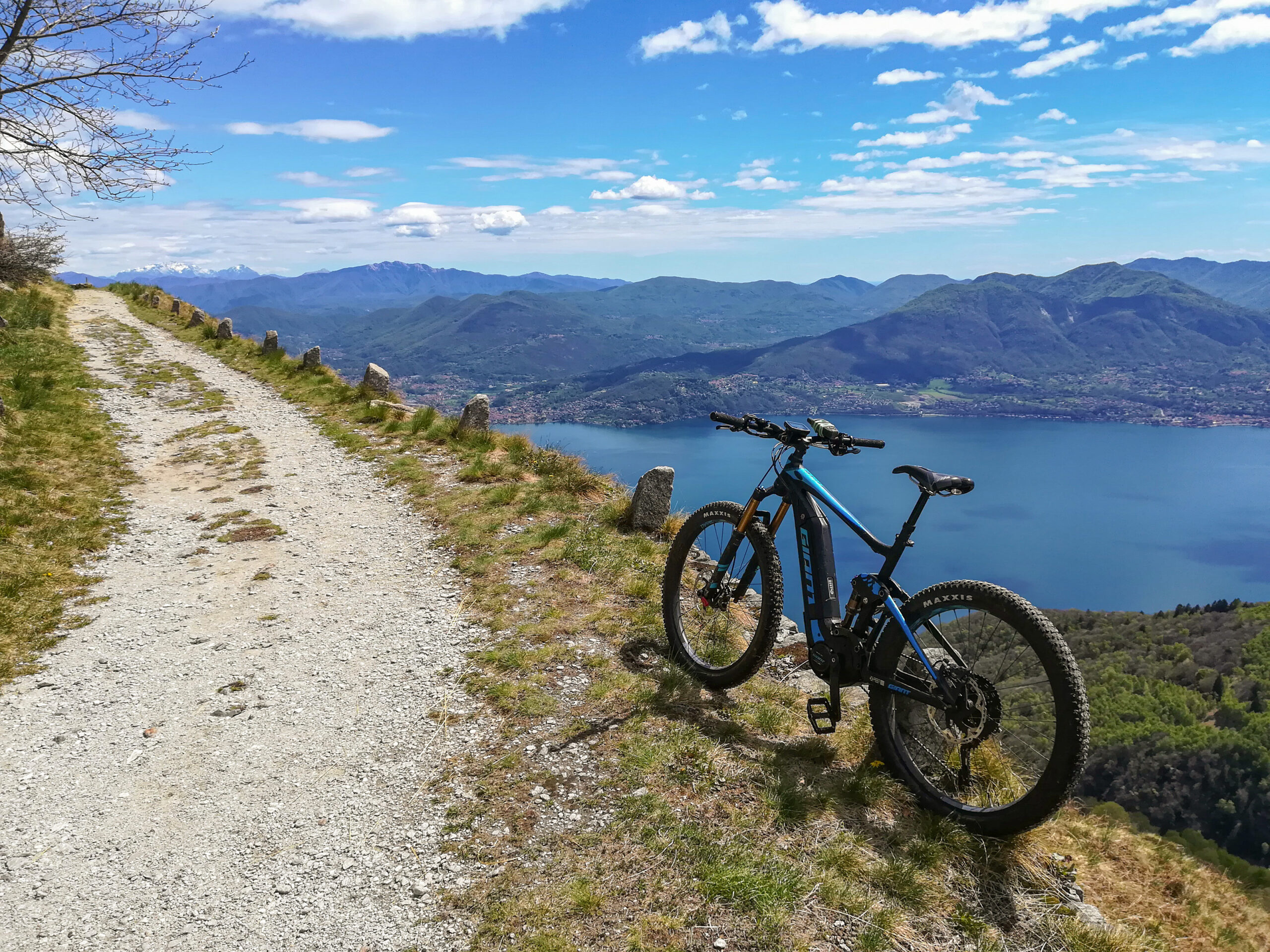
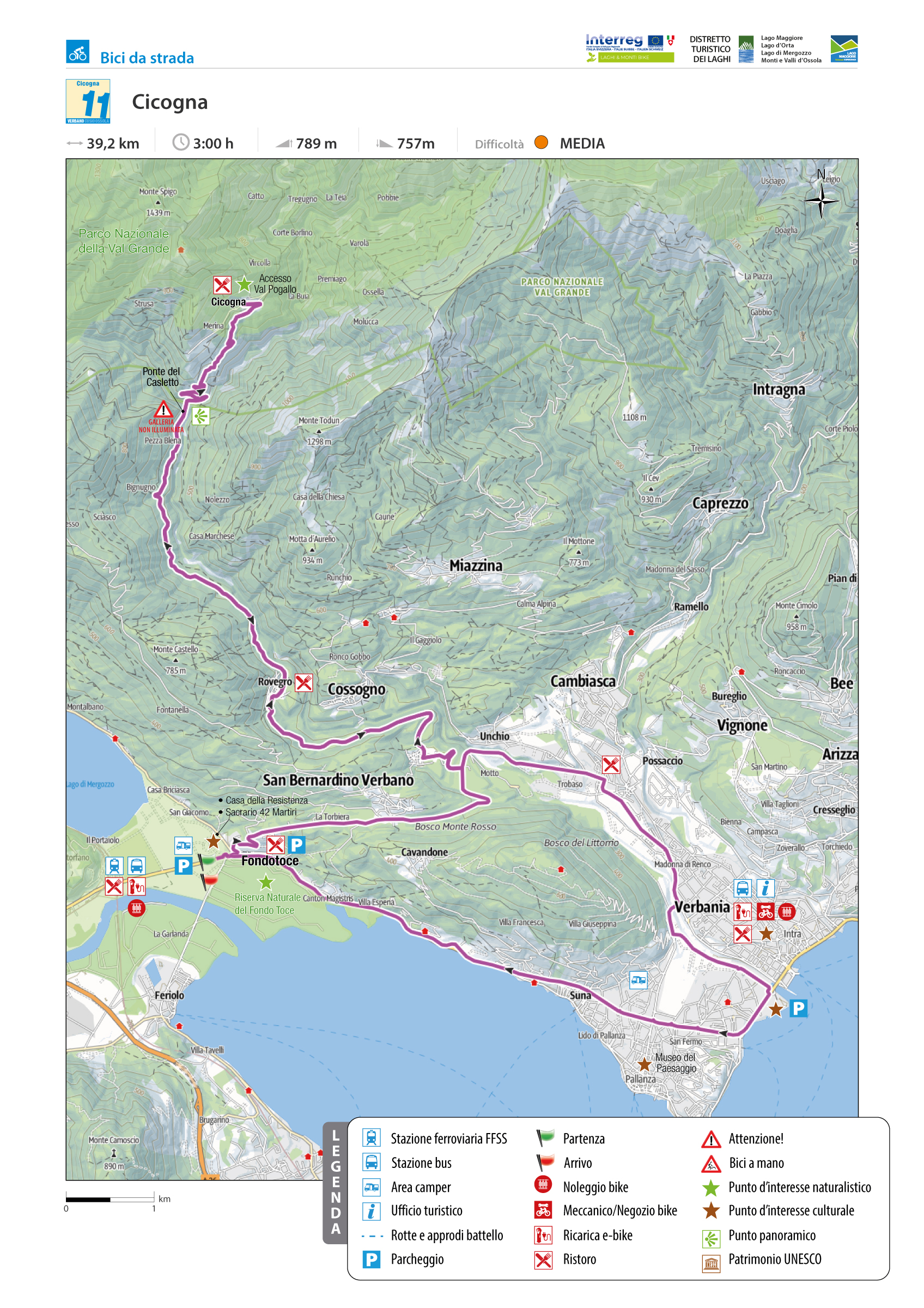
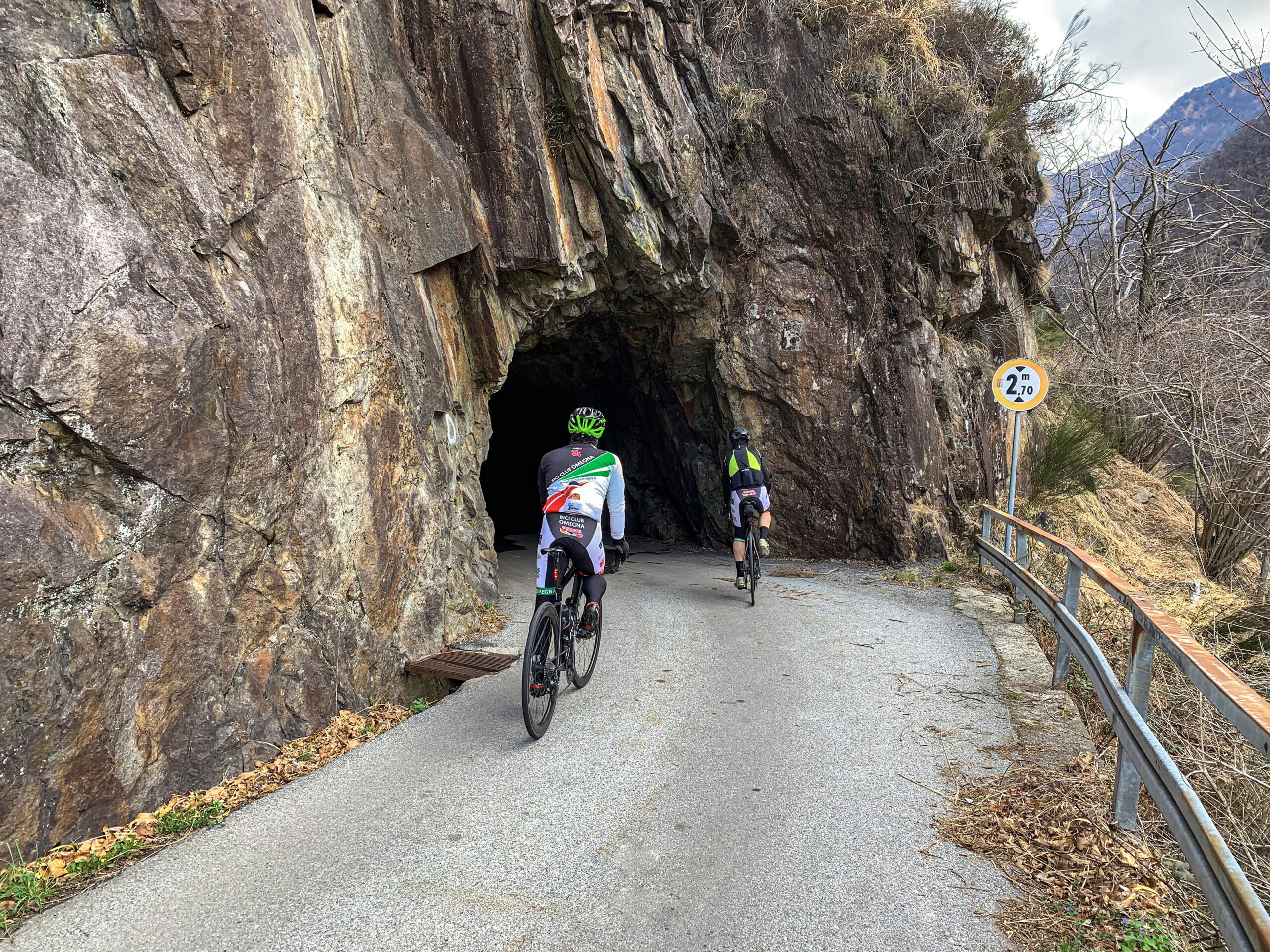
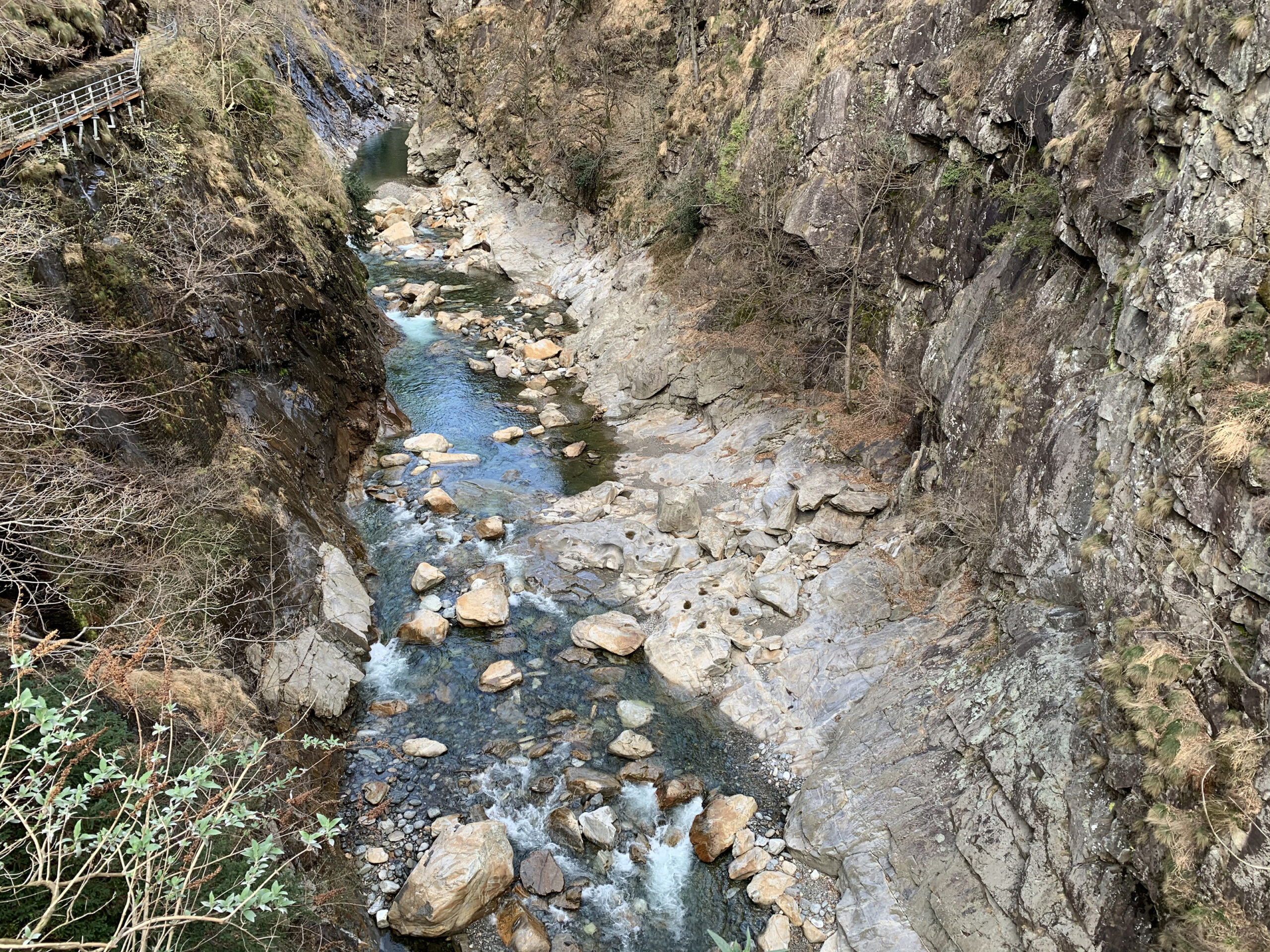
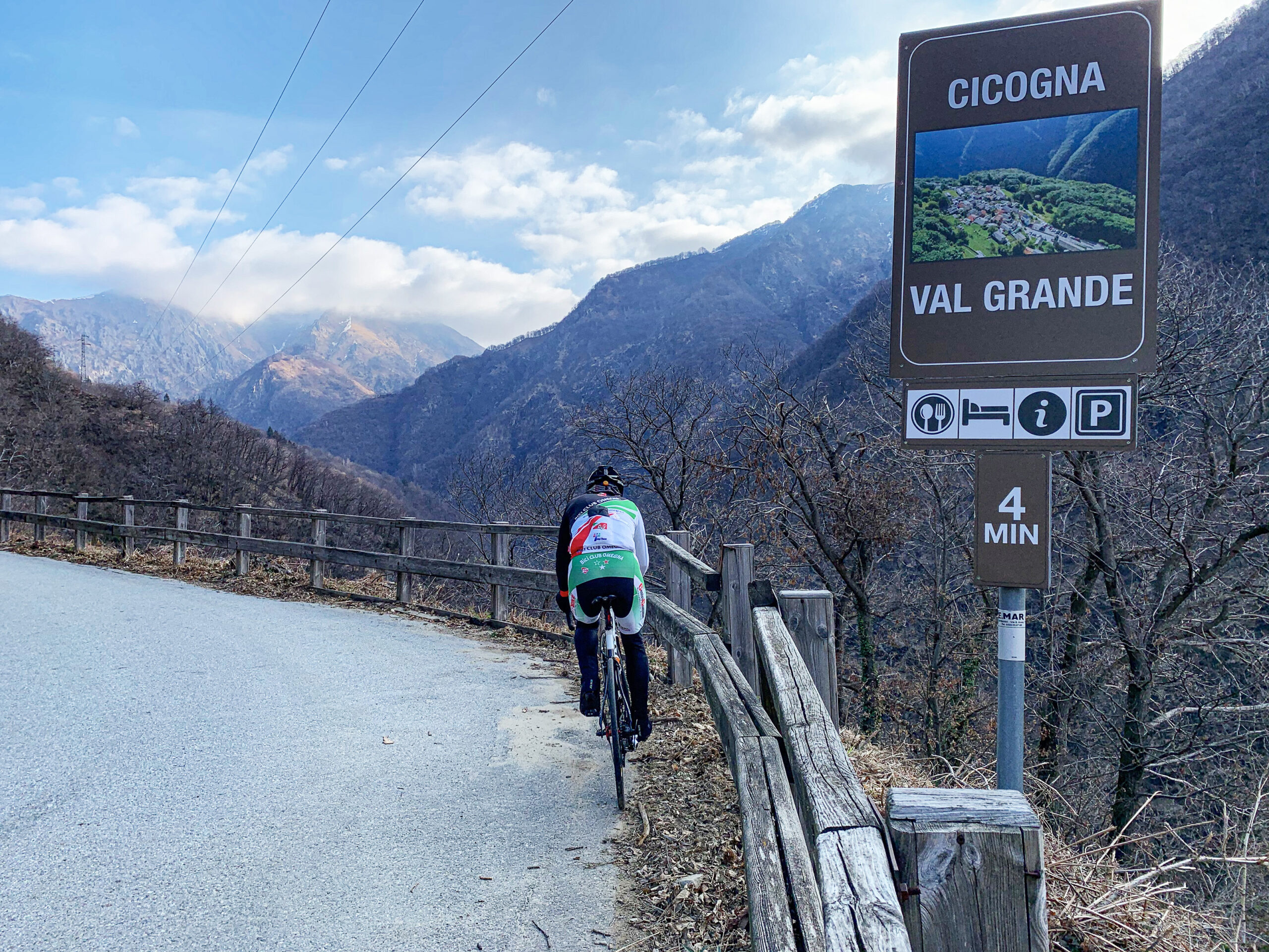
CICOGNA
VAL GRANDE NATIONAL PARK
Lago Maggiore
Route description
From the Toce River estuary to Cicogna, the main Verbania gateway to Val Grande National Park, this is one of the largest wilderness areas in Europe.
Back to the list of routes
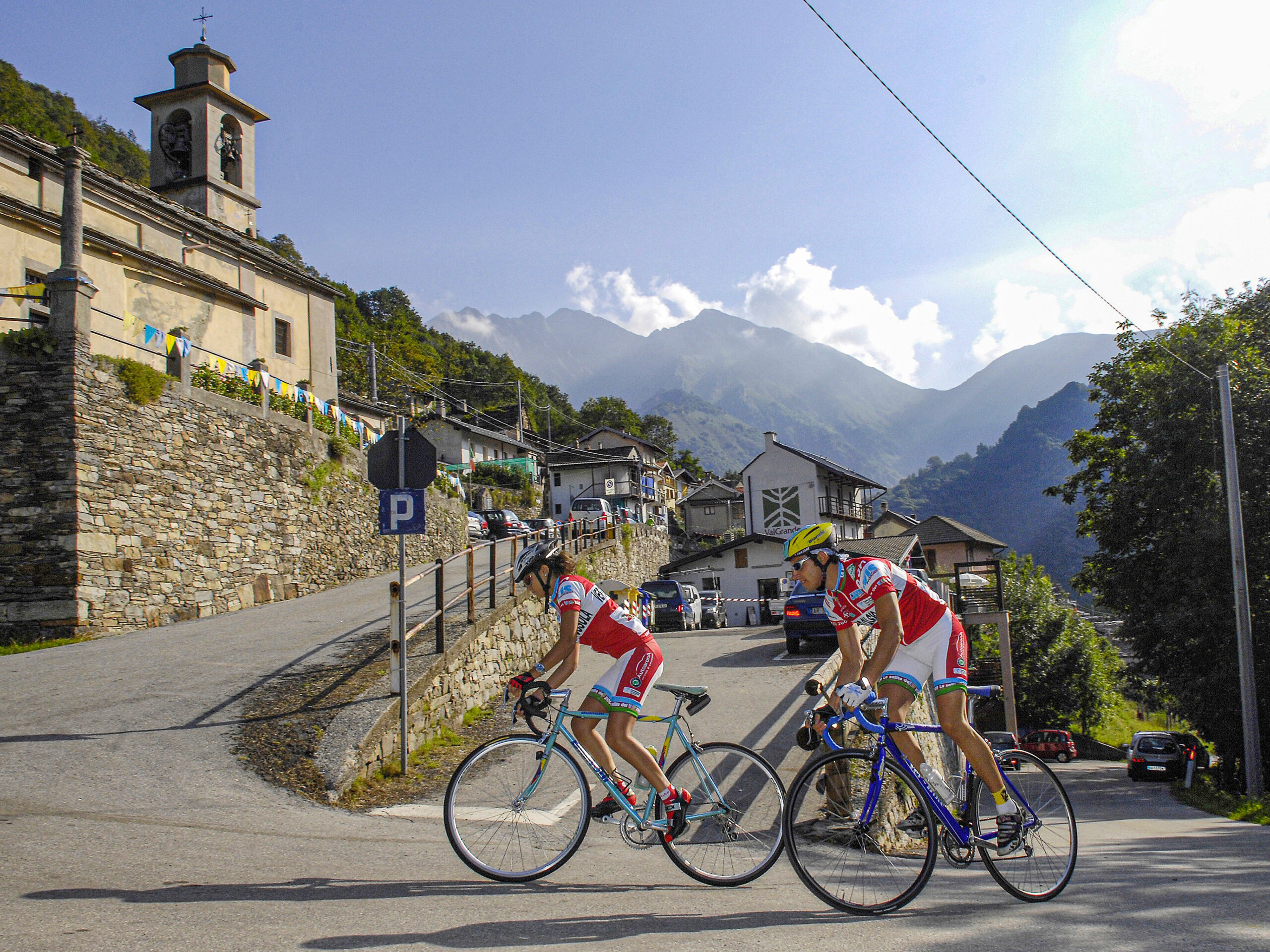
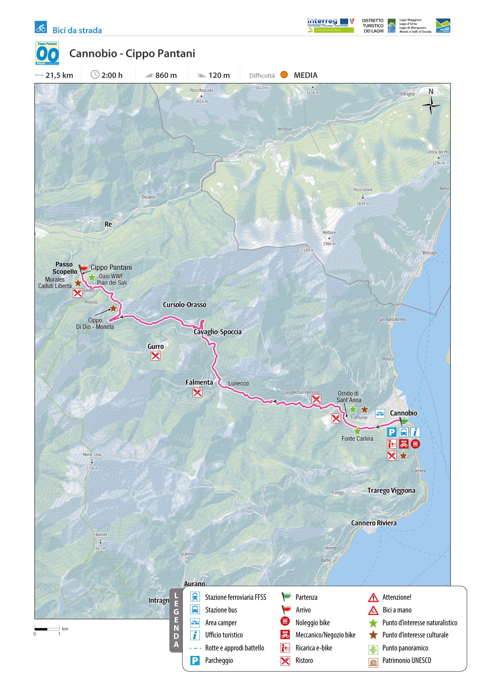
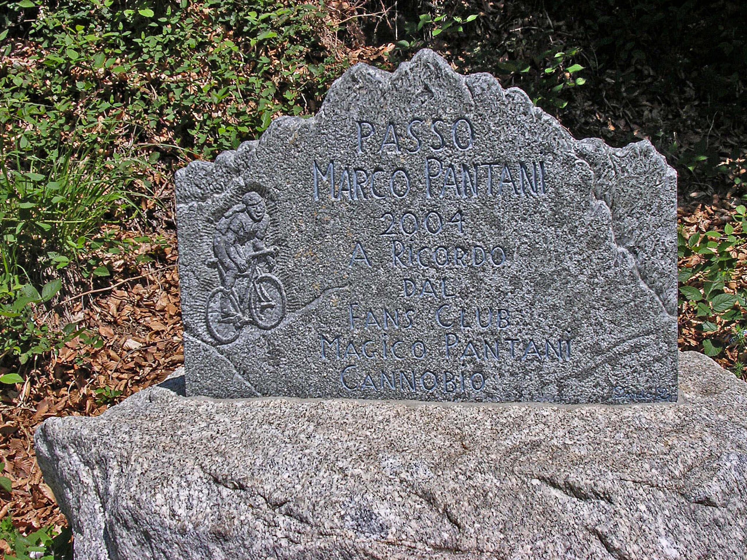
CANNOBIO – CIPPO PANTANI
CANNOBINA VALLEY
Valle Cannobina
Route description
The uphill route along the Cannobina Valley, from Cannobio to Finero.
The finish line is where the memorial stone is dedicated to Marco Pantani, one of the most excellent cycle-hikers of all time.
Back to the list of routes
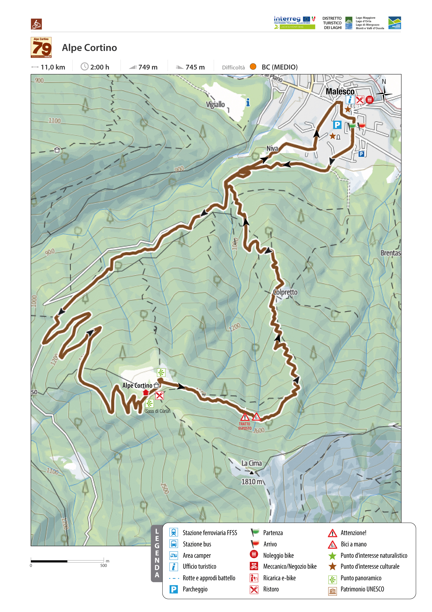
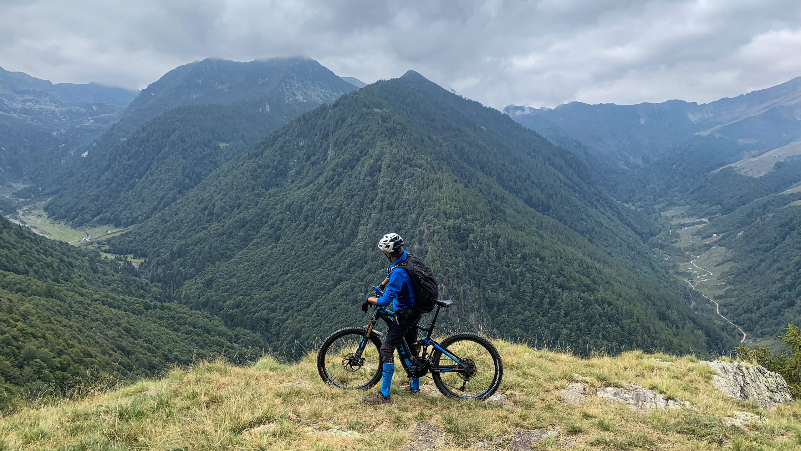
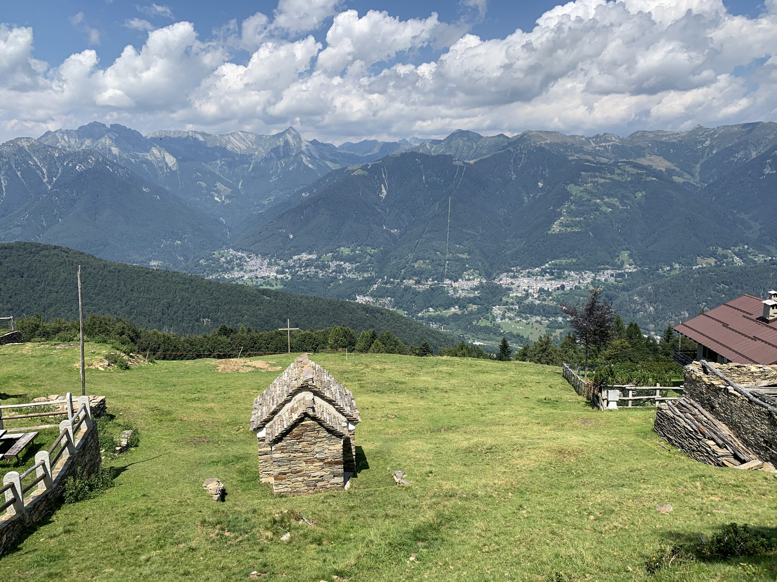
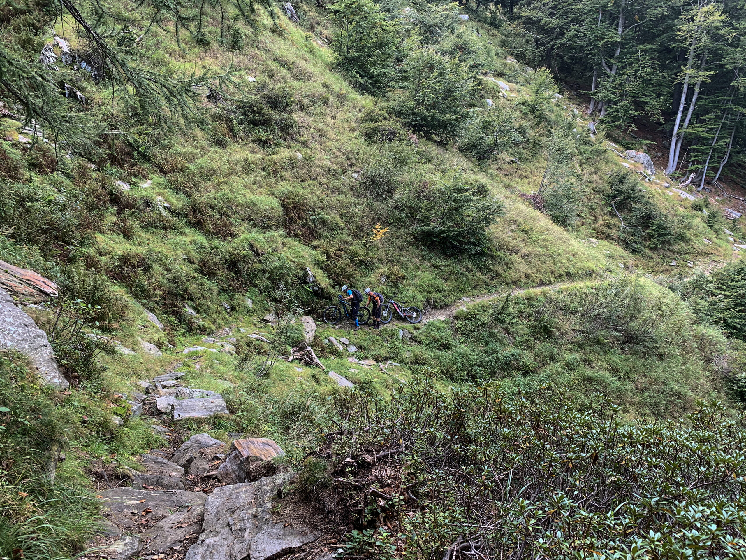
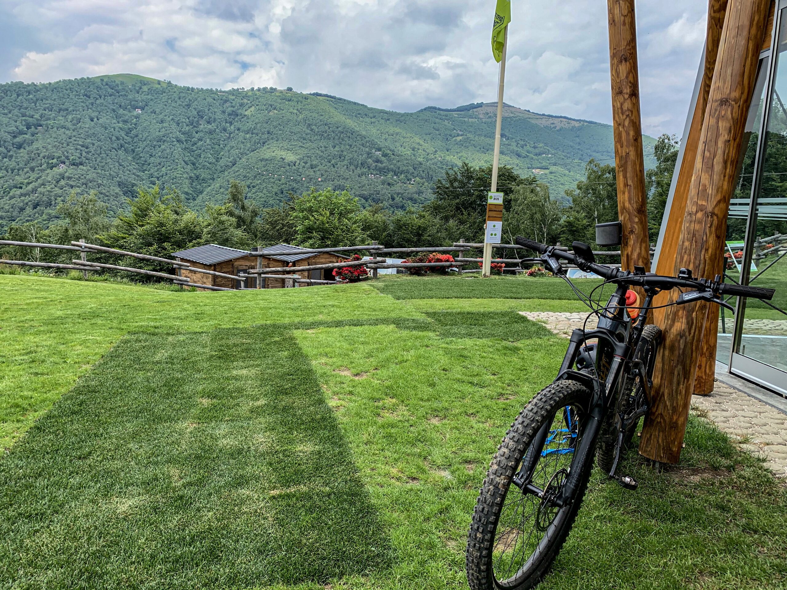
VIGEZZO BIKE LAND – ALPE CORTINO
Valle Vigezzo
Route description
In the valley of painters, on the wilderness side, at the gateway to the Loana Valley and the Val Grande National Park. A “belvedere” of excellence in the Vigezzo Valley.
Choice: “easy” or “more difficult” route, depending on the riding ability of the biker’s vehicle.
Back to the list of routes