4-STOP ROUTE
STRA’ GRANDA
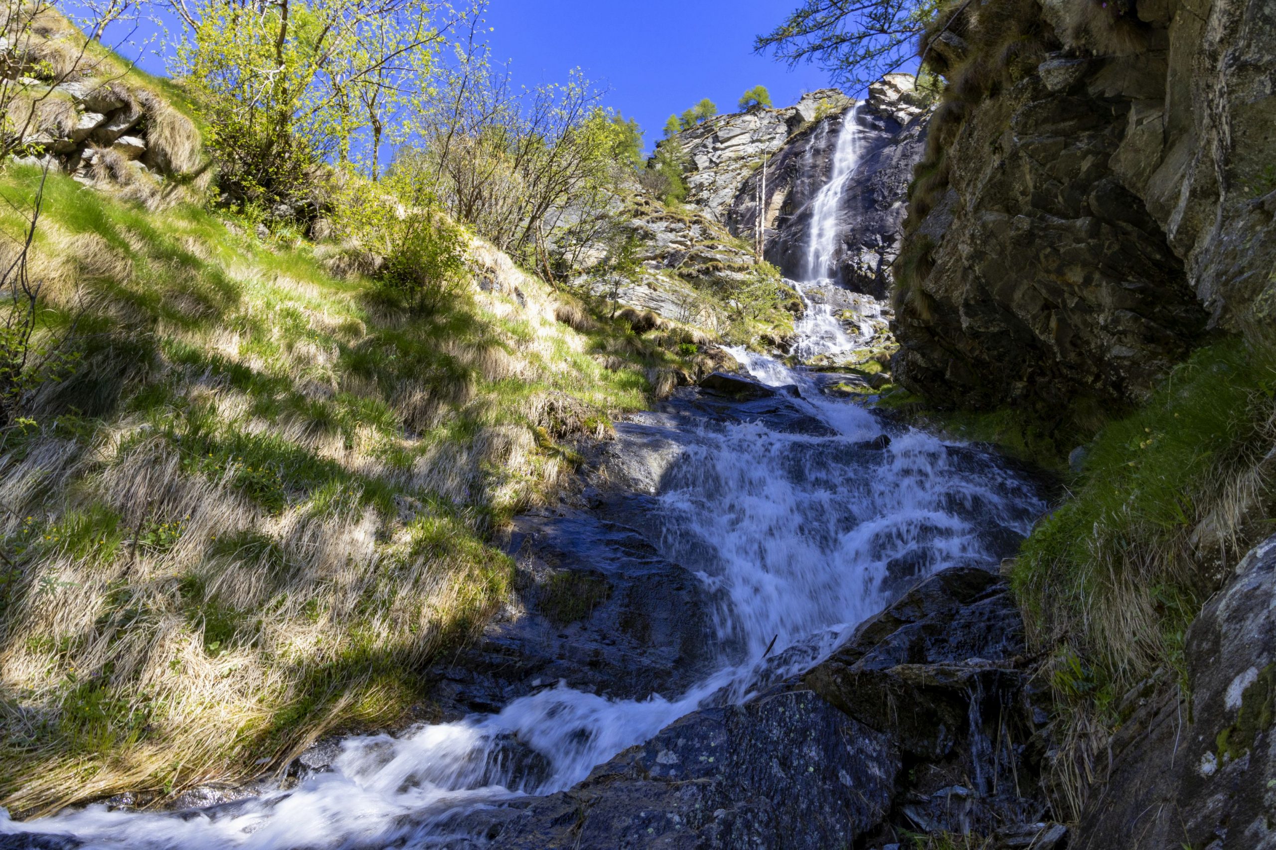
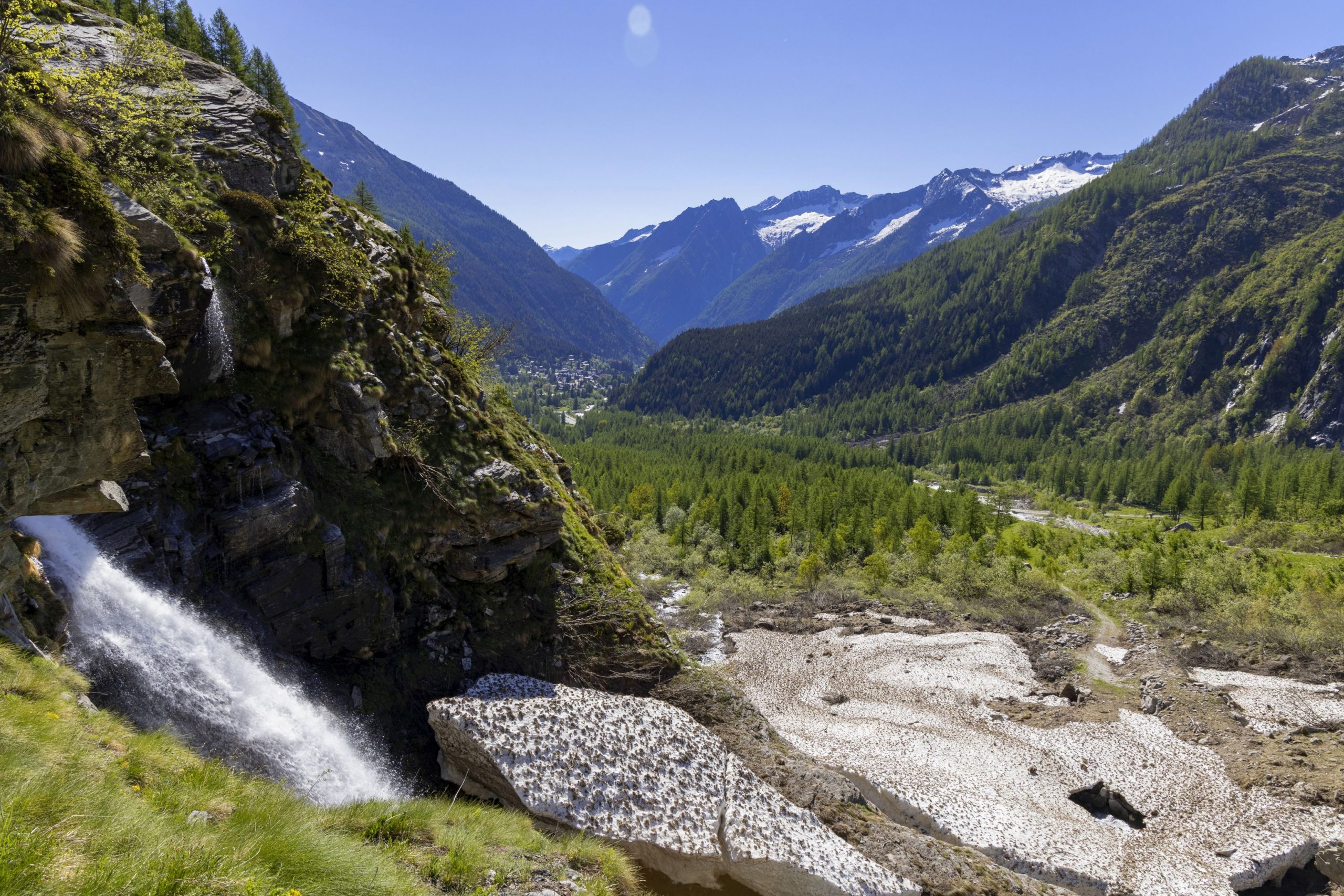
Valle Anzasca
Route description
In 1553 the Anzasca Valley was toured by Joachim de Annono, “homo da bene” and official representative of the Spanish Governor of Milan. He was a man of power who came to check on the Anzasca Valley’s dwellers’ payments of the exorbitant “Mensuale” tax. He stayed in the Valley for 14 days and, upon his return wrote an accurate and documented report.
In that report, he described the Strà Granda for the first time, explaining that from Piedimulera the road went up to Macugnaga and then again up the steep mountain ridge of Monte Moro to the Saas Valley.
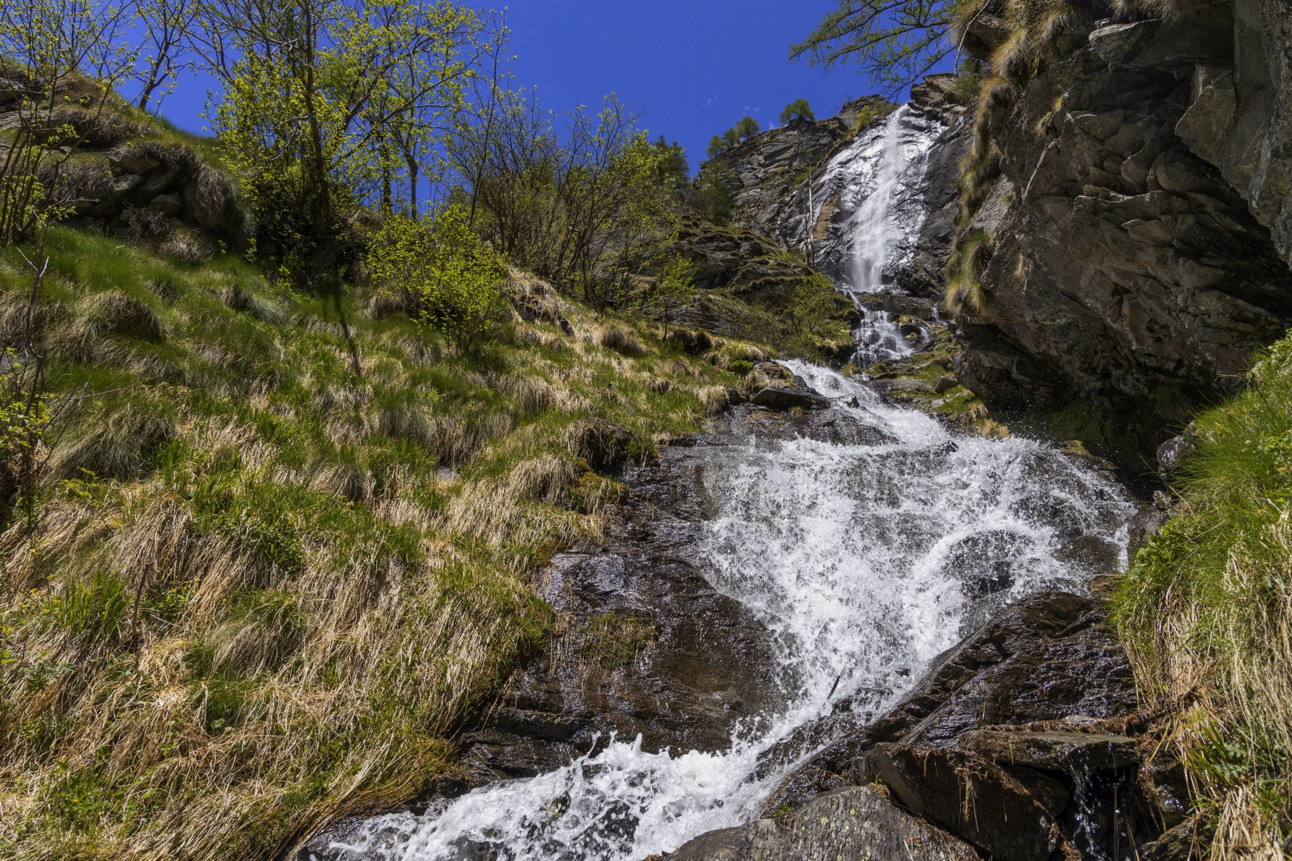
The medieval road in the Anzasca Valley is at the center of his journey: “…I find that said Valley has little or almost no plain and is about sixteen miles long wedged between mountains of great height. In the middle of the Valley a great stream called the Anza flows, which originates from a glacier, permanent at the bottom of said Valley and said stream grows to form other streams that flow down here and there from said mountains and to enter said Valley one must climb a mountain for about a mile, then one finds the road to the right built within the mountains, about an arm and a half wide, and in that spot, it is rather high and steep …”
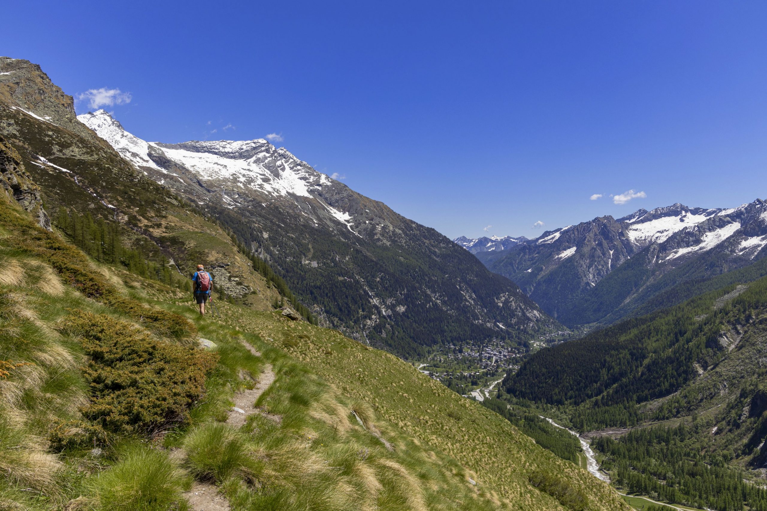
After 400 years, this route following on the footsteps of Joachim de Annono is still there and accessible today. The history of the Valley was written on the dirt road that marks its hairpin bends. It is not the Great History of humankind but that humble and hidden of muleteers who traveled to Switzerland or valley dwellers who journeyed down to the market of Vogogna to buy grain supplies. Each hairpin bend witnessed the furious village feuds and the passing of loads of gold traveling down to the towns.
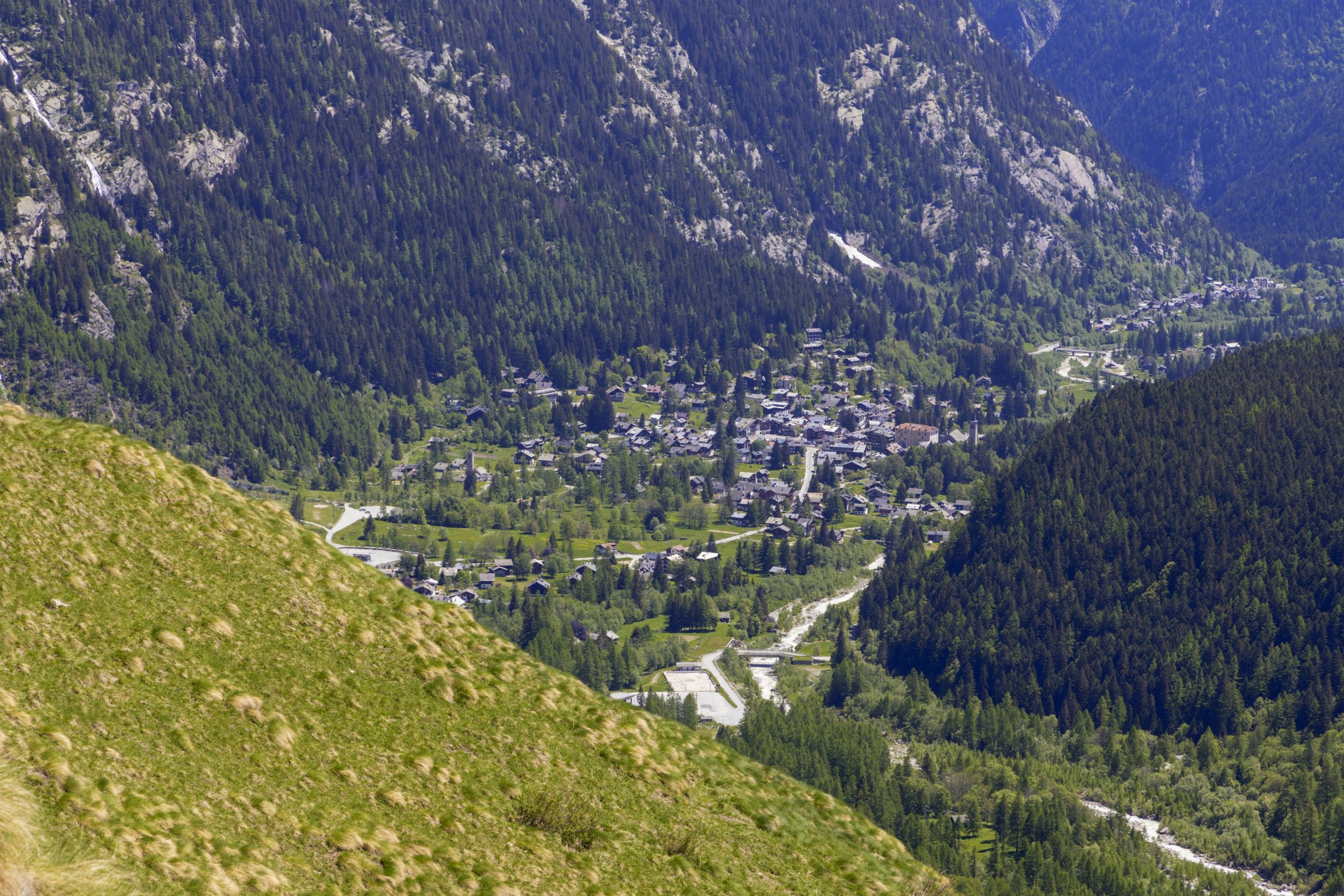
Walking on the Strà Granda of Anzasca means journeying through time on a historical trail connecting the valleys. Above Piedimulera stand the oratory of San Giovanni Nepomuceno, patron saint who protected against drowning and floods (and curses!). In Mezzamulera, famous for hemp weaving artisans, unique niches in the wall bear witness to the mules’ loading in ancient times.
In Cà Turnal an anvil, tongs, and a hammer engraved on a stone slab show the Ferraria’s Ghibelline coat of arms, one of the factions whose feuds bloodied the Ossola area in the sixteenth century. In addition, it is possible to visit the ovens for the collective baking of bread a few times a year, the consortium’s presses to press the wine marc (a small masterpiece of rural engineering is located in Morlongo), and the mills and grindstones to press and obtain walnut oil. Hundreds were the finds of the peasant material culture scattered along the Strà Granda, which became a thematic route at discovering the Alps civilizations that populated these mountains.
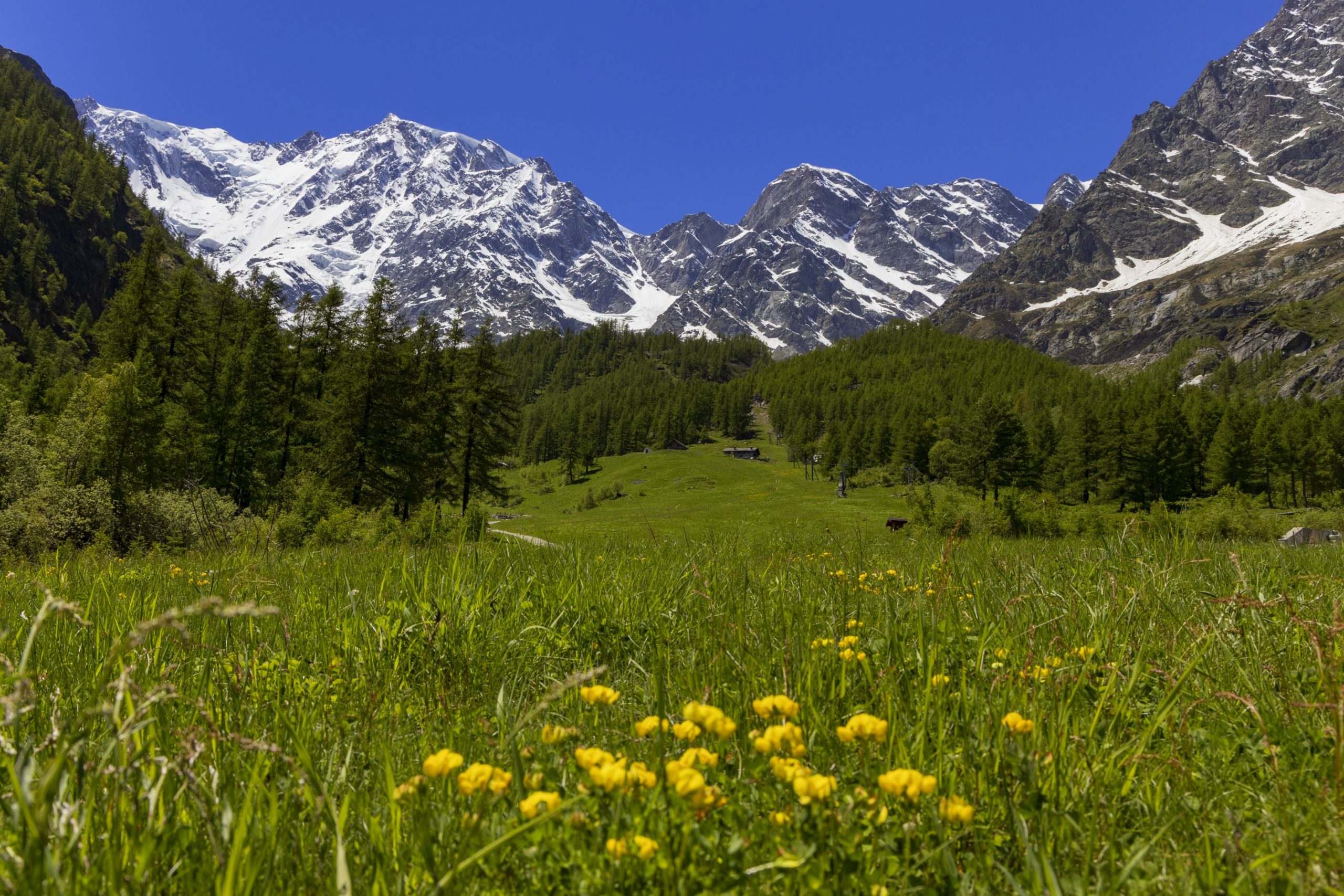
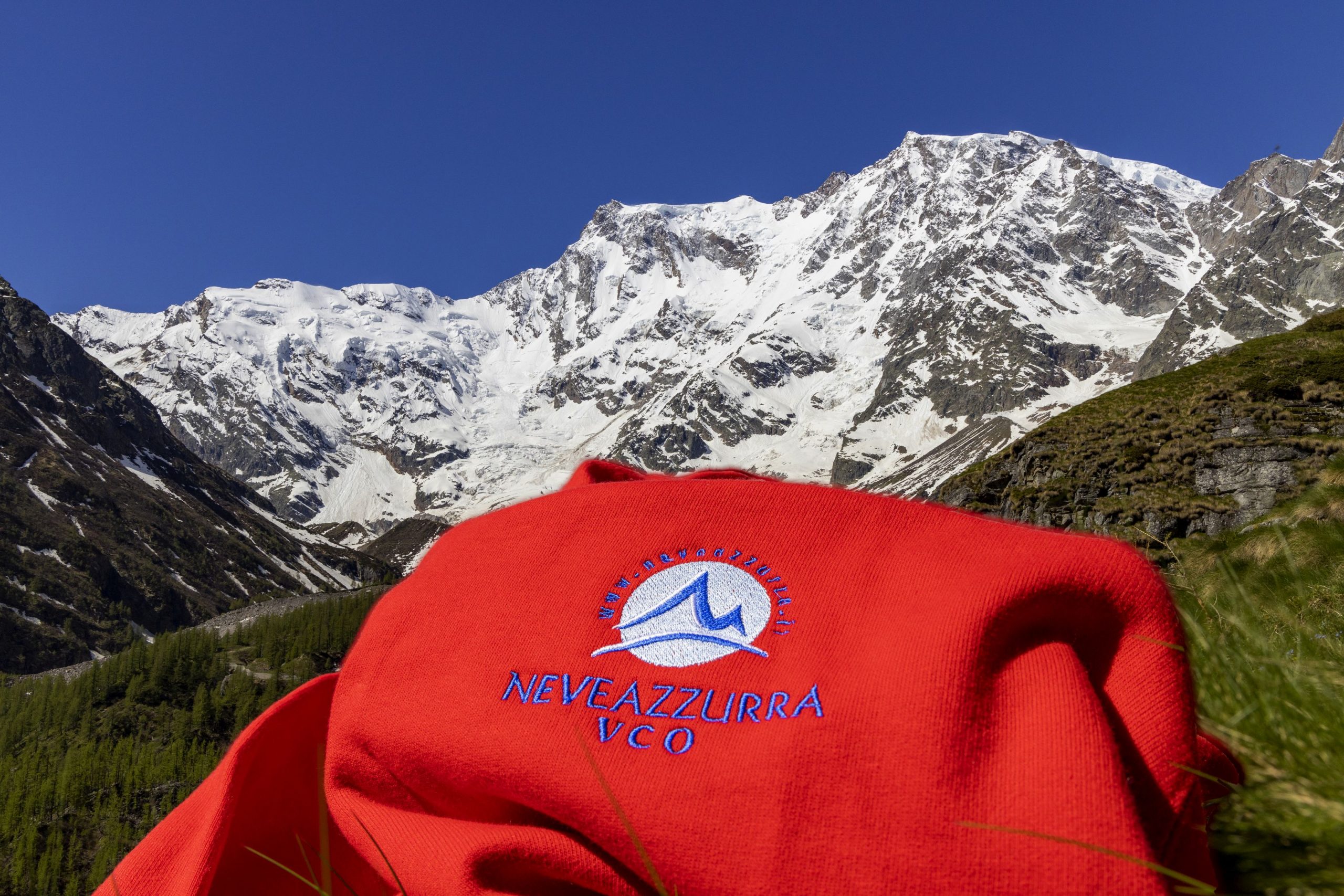
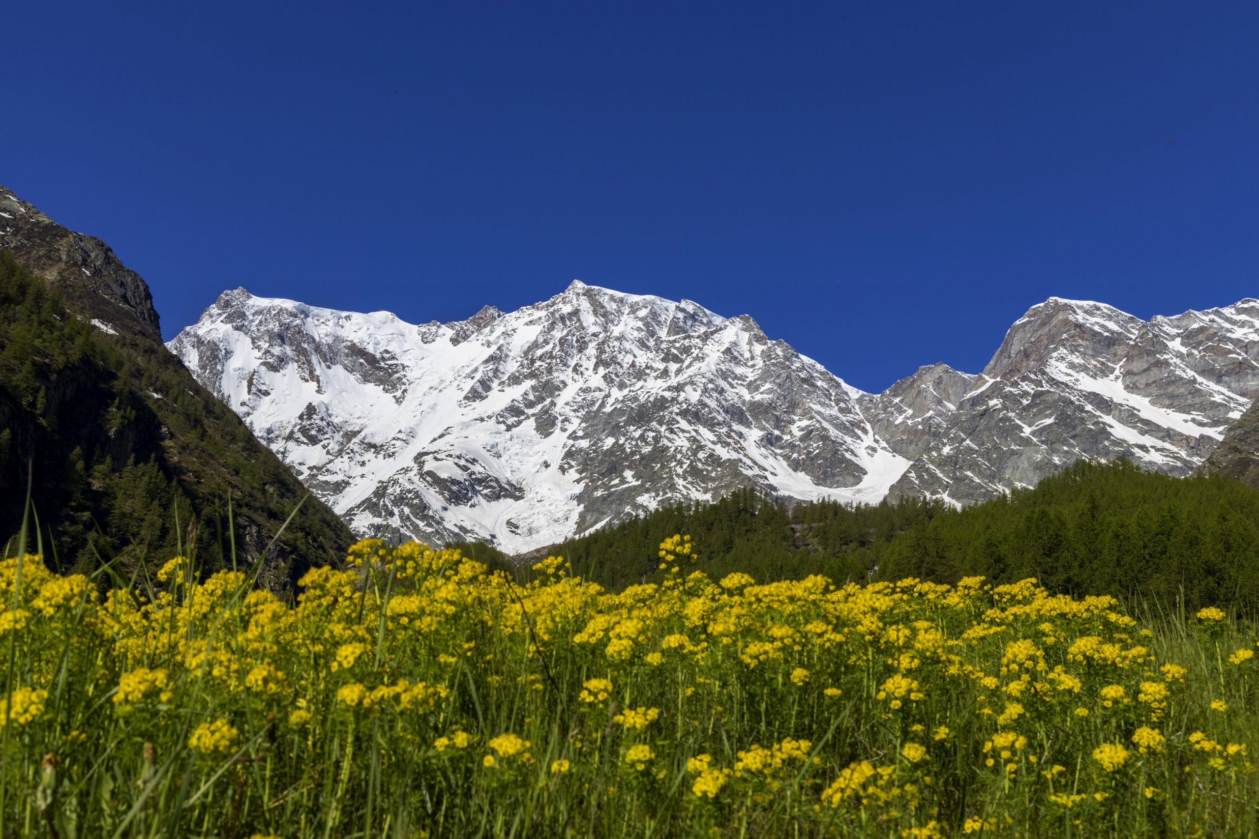
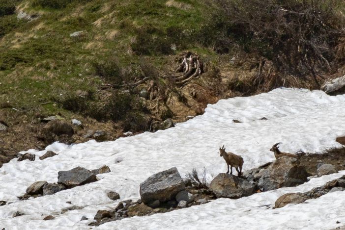
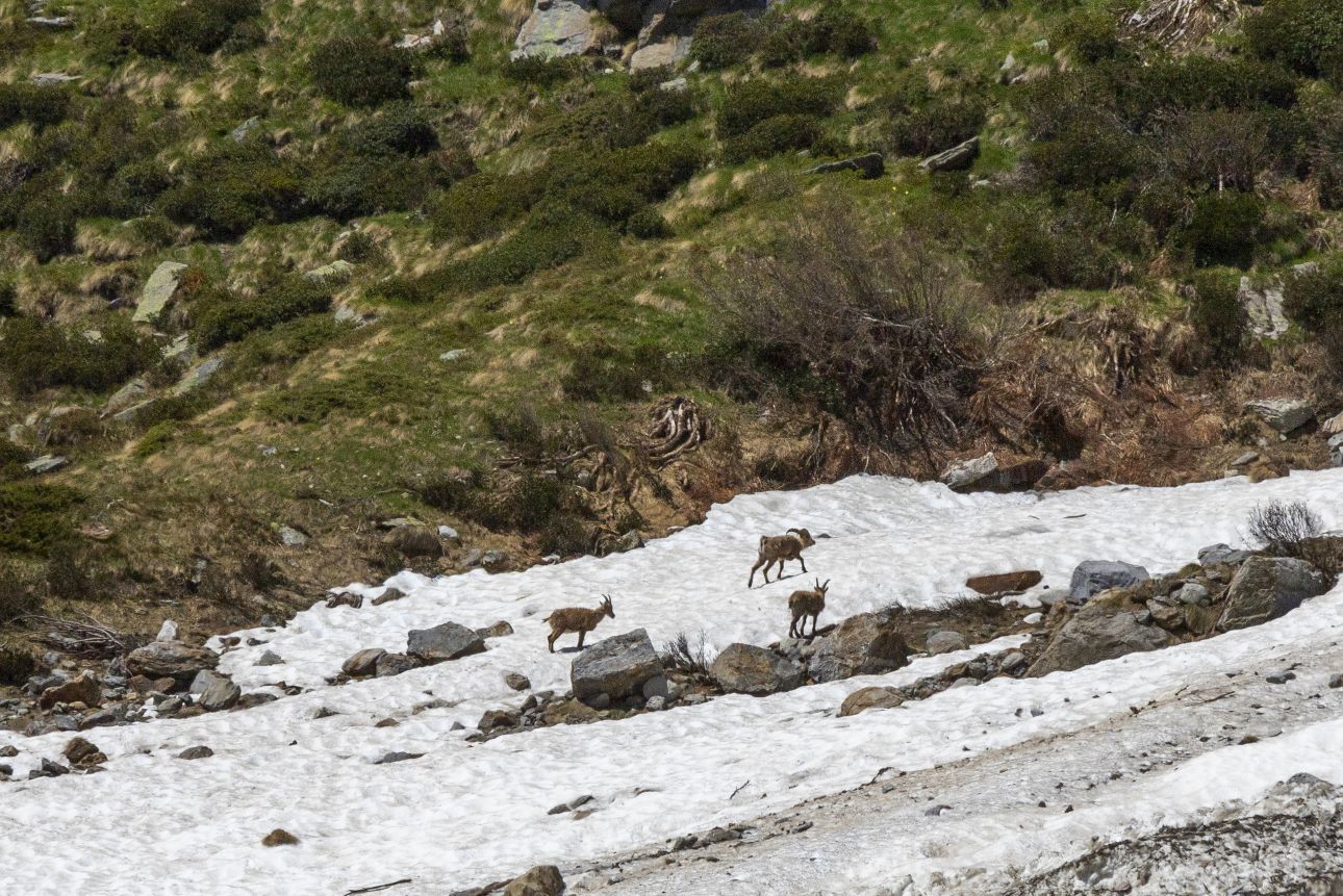
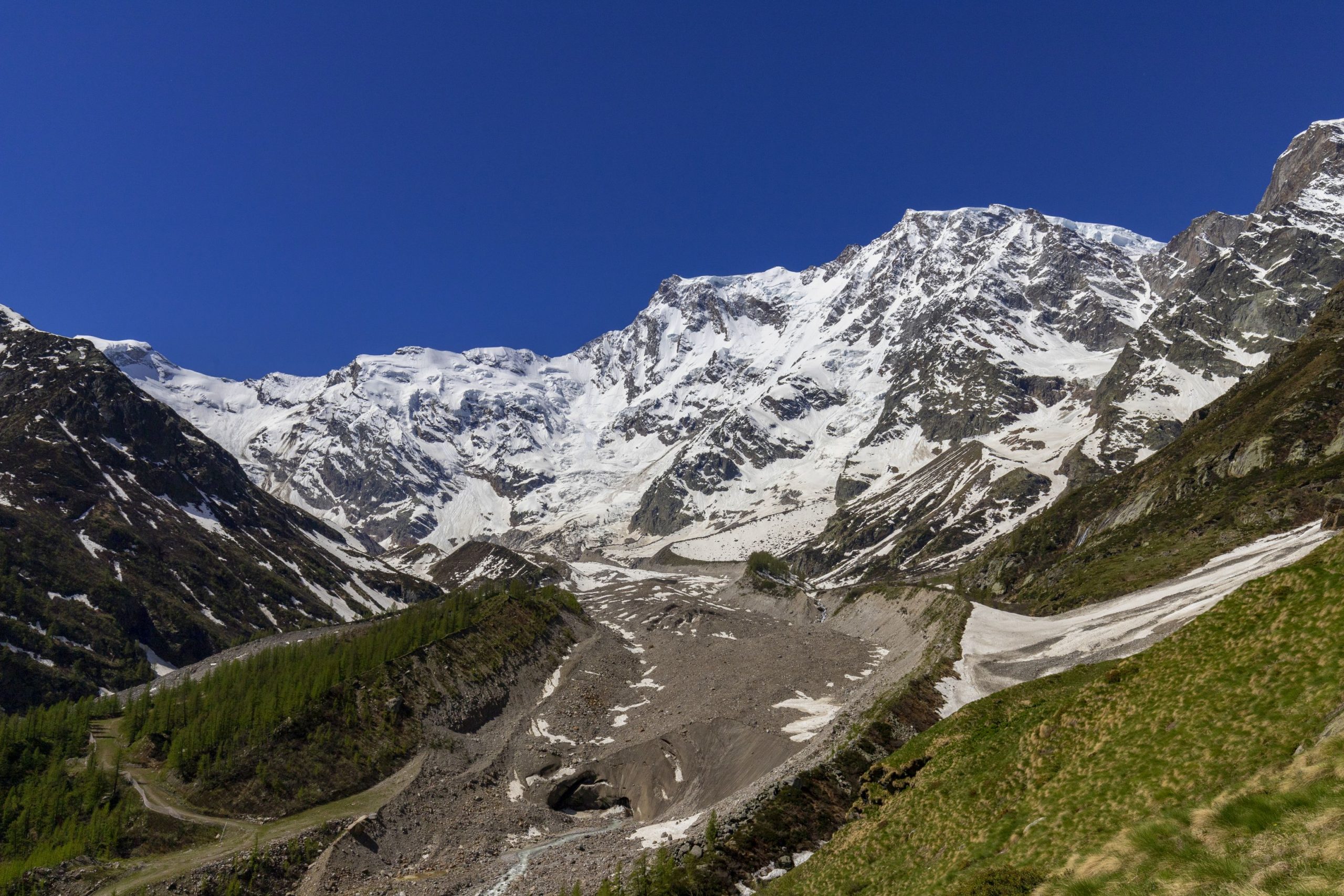
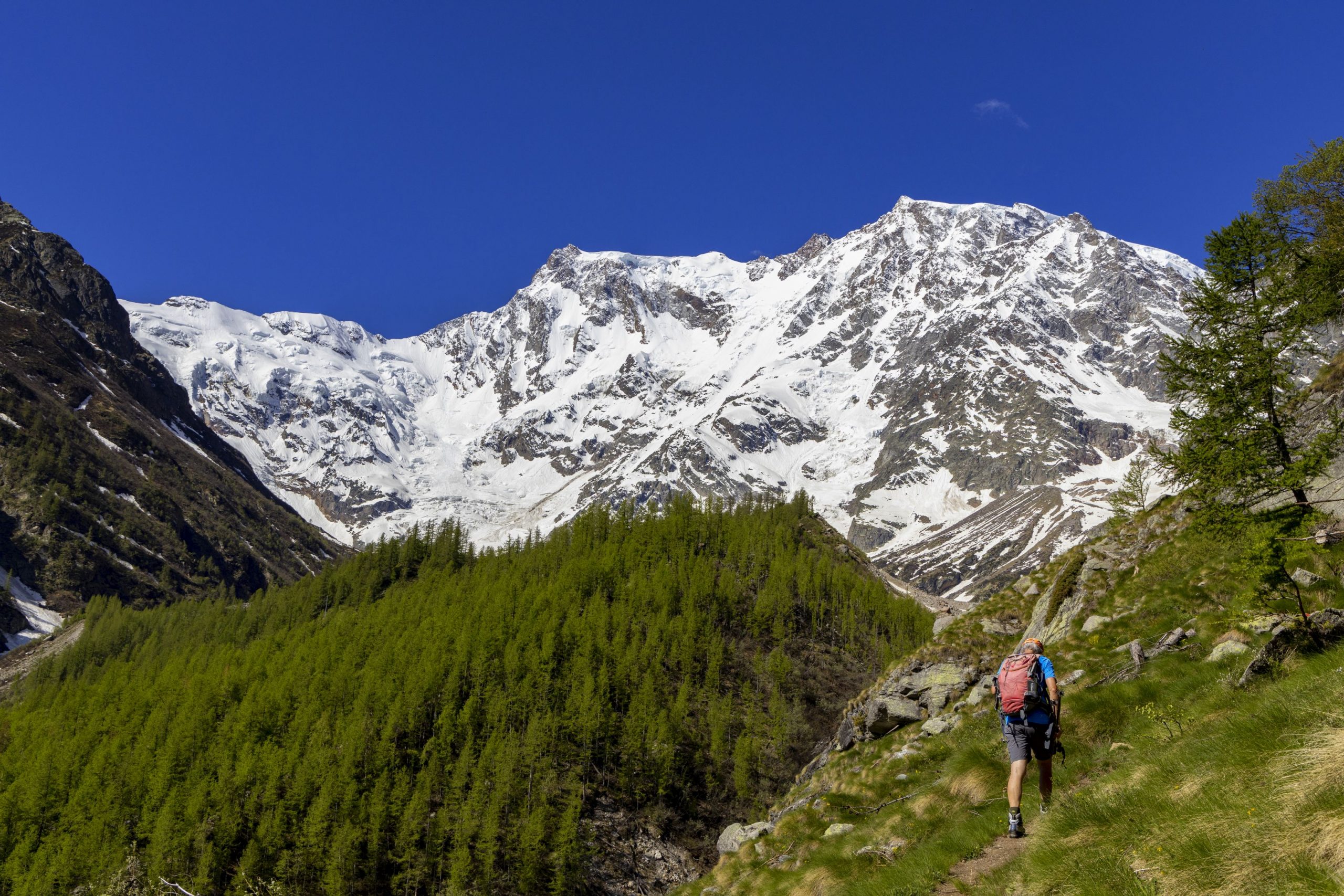
At the beginning of the Valley, there is the imposing east wall of Monte Rosa: two thousand meters of rock and ice, the only Himalayan-sized wall in the Alps. An unusual valley that features two cultures (Walser and Romanza) and pristine nature in ancient harmony between humans and the environment.
Info and stops: https://www.piemonteoutdoor.it/it/attivita/escursionismo/stra-granda
Back to the list of routes
ROUTE IN 4 ETAPPEN
STRA’ GRANDA
Valle Anzasca
Route description
Im Jahr 1553 wurde das Anzascatal von Joachim de Annono, dem sogenannten „homo da bene” und Beamten des spanischen Gouverneurs in Mailand, besucht. Er war ein mächtiger Mann, der kam, um zu überprüfen, ob die Bewohner des Anzasca-Tals in der Lage waren, die exorbitante Steuer der Mensuale zu bezahlen. Er blieb 14 Tage im Tal und schrieb nach seiner Rückkehr einen genauen und dokumentierten Bericht.
Dies ist die erste Beschreibung der Strà Granda, die von Piedimulera nach Macugnaga und dann über den steilen Bergrücken des Monte Moro ins Saastal führt.
Im Mittelpunkt seiner Reise steht die mittelalterliche Straße im Anzasca-Tal: “… Ich finde, dass das besagte Tal fast oder gar nicht eben und etwa sechzehn Meilen lang ist, eingezwängt zwischen hohen Bergen, in deren Mitte ein breiter Strom fließt, der Anza genannt wird. Dieserfließt von einem Berg herab, der sich ebenfalls im besagten Tal befindet. Der Strom wird durch viele Bäche vergrößert, die hier und da von den besagten Bergen herabfließen, und im am Anfang des besagten Tales muss eine Meile lang ein Berg bestiegen werden. Zudem gibt es die gerade Straße, die in den Bergen gebaut ist, etwa eine halbe Meile breit, und an dieser Stelle mehr oder weniger, sehr hoch und steil;…”
Diese Straße, die 400 Jahre nach dem Weg, der von Joachim de Annono beschrieben wurde, verläuft, kann auch heute noch verwendet werden. Auf dem abgenutzten Pflaster, das seine Kehren markiert, zog die Geschichte des Tals vorbei, nicht etwa eine große Geschichte, sondern eine bescheidene, verborgene Geschichte von Maultiertreibern, die in die Schweiz gingen, oder von Talbewohnern, die hinunter zum Markt von Vogogna gingen, um Getreide zu kaufen. Auf dem polierten Pflaster jeder Kurve sah man die wütenden Dorfkriege und Wagone voller Gold, die in die Städte gebracht wurden.
Ein Spaziergang auf der Strà Granda di Anzasca bedeutet eine Reise in die Vergangenheit auf einem historischen Verbindungsweg zwischen den Tälern. Oberhalb von Piedimulera befindet sich das Oratorium von San Giovanni Nepomuceno, das vor Ertrinken und Überschwemmungen (auch vor bösen Zungen!) schützen soll; in Mezzamulera, das für die Hanfweberei berühmt ist, gibt es spezielle Mulden in der Mauer für Maultiere.
In Cà Turnal zeigen ein Amboss, eine Zange und ein Hammer, die auf einer Steinplatte eingraviert sind, das ghibellinische Wappen der Partei Ferraria, eine der Fraktionen, die im 16. Jahrhundert die Ossola blutig schlugen. Dann gibt es die Fraktionsöfen für das gemeinsame Backen von Brot, das ein paar Mal im Jahr stattfindet, die Konsortialpressen zum Pressen von Trester (ein kleines Meisterwerk ländlicher Technik ist die von Morlongo), die Mühlen und Mahlsteine zum Pressen von Walnussöl. Einhunderteins Funde materieller Kultur wurden entlang der Strà Granda verstreut gefunden. So wird sie zur thematischen Route, um die alpine Zivilisation kennenzulernen, die sich zwischen diesen Bergen entwickelte. Und, am Anfang des Tals, die imposante Ostwand des Monte Rosa, zweitausend Meter Fels und Eis, die einzige Wand von Himalaya-Größe in den Alpen. Ein ungewöhnliches Tal, mit zwei verschiedenen Kulturen (Walser und Romanisch), das ein hohes Maß an Natürlichkeit und eine uralte Harmonie zwischen Mensch und Umwelt bewahrt.
Infos und Etappen: https://www.piemonteoutdoor.it/it/attivita/escursionismo/stra-granda
Back to the list of routes
ITINÉRAIRE EN 4 ÉTAPES
STRA’ GRANDA
Valle Anzasca
Route description
En 1553, la Valle Anzasca fut visitée par Joachim de Annono, « homme de bien » et fonctionnaire du gouverneur espagnol de Milan. C’était un homme de pouvoir qui venait vérifier si les habitants de la vallée Anzasca étaient capables de payer l’impôt mensuel exorbitant. Il resta dans la vallée pendant 14 jours et, à son retour, rédigea un rapport précis et documenté.
C’est la première description de la Strà Granda qui, de Piedimulera, monte jusqu’à Macugnaga, puis gravit la crête montagneuse escarpée du Mont Moro et mène à la vallée de Saas.
Le point culminant de son voyage est la route médiévale de la Valle Anzasca :« … je trouve que ladite vallée est très peu ou presque sans plaine, et longue d’environ seize miles, étroite entre les montagnes de grande hauteur, au milieu de laquelle s’écoule un grand fleuve appelé l’Anza, qui descend d’une montagne de glace, laquelle est permanente tout au fond de ladite vallée, et ensuite ledit fleuve est alimenté par de nombreux ruisseaux, qui descendent ici et là de ces montagnes, et à l’entrée de ladite vallée il faut grimper pendant environ un mile, puis on emprunte une route construite sur le versant droit de la montagne, large d’environ un bras et demi, largeur qui en certains endroits augmente ou diminue, très élevée et escarpée ; … ».
Cette route, 400 ans après la marche de Joachim de Annono, peut encore être parcourue aujourd’hui. Sur le pavé usé qui marque ses virages, l’histoire de la vallée est passée, non pas la Grande Histoire, mais celle humble et cachée des muletiers, qui se rendaient en Suisse, ou des habitants de la vallée qui descendaient au marché de Vogogna pour s’approvisionner en grains. Le pavé poli de chaque virage a vu les furieuses guerres de village et le passage des chargements d’or descendant vers les villes.
Se promener le long de la Strà Granda de l’Anzasca, c’est faire un voyage dans le temps sur un chemin historique de communication entre les habitants de la vallée. Au-dessus de Piedimulera se trouve l’oratoire de San Giovanni Nepomuceno, protecteur indéniable contre les noyades et les inondations (et aussi contre les mauvaises langues !) ; à Mezzamulera, célèbre pour le tissage du chanvre se trouvent des renfoncements spéciaux dans le mur pour le chargement des mules.
À Cà Turnal, une enclume, une pince et un marteau gravés sur une dalle de pierre dévoilent les armoiries gibelines de la faction Ferraria, une des factions ayant ensanglanté l’Ossola au XVIe siècle. Ensuite, nous trouvons les fours des différents hameaux servant à la cuisson du pain plusieurs fois par an, les presses du consortium pour le pressage du marc (celle de Morlongo est un petit chef-d’œuvre du génie rural), les moulins et les meules pour le pressage de l’huile de noix. Il existe des centaines de pièces de la culture matérielle paysanne disséminées le long de la Strà Granda, qui devint l’itinéraire thématique pour connaître la civilisation alpine qui s’est développée parmi ces montagnes. Et, à la fin de la vallée, l’imposante face est du Mont Rose, deux mille mètres de roche et de glace, la seule paroi de taille himalayenne dans les Alpes.
Une vallée anormale, aux deux cultures, walser et néolatine, qui préserve un haut degré de naturel et une harmonie ancienne entre l’homme et l’environnement.
Infos et étapes : https://www.piemonteoutdoor.it/it/attivita/escursionismo/stra-granda
Back to the list of routes
PERCORSO IN 4 TAPPE
STRA’ GRANDA
Valle Anzasca
Route description
Nel 1553 la Valle Anzasca viene visitata da Joachim de Annono, “homo da bene” e funzionario del governatore spagnolo di Milano. È un uomo di potere che viene a verificare se i valligiani di Anzasca sono in grado di pagare l’esosa tassa del Mensuale. Rimane in valle 14 giorni e al ritorno stende una relazione precisa e documentata.
È la prima descrizione della Strà Granda che da Piedimulera sale a Macugnaga per poi risalire l’erta montuosa del Monte Moro e condurre nella Valle di Saas.
Al centro del suo viaggio è la strada medioevale della Valle Anzasca: “…truovo che detta valle è con pochissima o quasi nulla planitia, e longa circa sedici miglia, stretta tra le montagne di grande altezza, in mezzo della quale gli decorre un grande torrente appellato l’Anza, quale discende da una montagna di giazzo, quale è permanente in fondo di detta Valle, e poi va augumentandosi detto Riale per molti Riali, quali discendono di quà e di là di detti monti, et nello intrar di detta Valle si ascende un monte per un miglio circa, poi si trova la strada di man dritta costrutta nelle montagne, larga circa un brazzo e mezzo, ed in tal luogo di più o di meno, molto alta e precipitosa;…”
Questa strada, seguendo 400 anni dopo il cammino di Joachim de Annono, la si può ancora percorrere ancora oggi.
Sul selciato consunto che segna i suoi tornanti è passata la storia della valle, non la Grande Storia ma quella umile e nascosta di mulattieri che si recavano in Svizzera o di valligiani che scendevano al mercato di Vogogna a rifornirsi di granaglie. Il selciato lucido di ogni tornante ha visto le furiose guerre di villaggio e il passare di carichi d’oro che scendevano alle città.
Camminare sulla Strà Granda di Anzasca vuol dire percorrere un viaggio nel tempo su un sentiero storico di comunicazione infra-valligiano.
Sopra Piedimulera si incontra l’oratorio di San Giovanni Nepomuceno, significativamente protettore dagli annegamenti e dalle inondazioni (anche dalle malelingue!); a Mezzamulera, famosa per la tessitura della canapa, ci sono speciali rientranze nel muro per il carico dei muli.
A Cà Turnal un’incudine, una tenaglia e un martello incisi su una lastra di pietra ripropongono lo stemma ghibellino di parte Ferraria, una delle fazioni che insanguinarono l’Ossola nel XVI secolo.
Poi i forni frazionali per la cottura collettiva del pane poche volte l’anno, i torchi consortili per la spremitura delle vinacce (un piccolo capolavoro di ingegneria rurale è quello di Morlongo), i mulini e le macine per la spremitura dell’olio di noci. Cento e cento sono i reperti della cultura materiale contadina sparsi lungo la Strà Granda che diventa il percorso tematico per conoscere la civiltà alpina sviluppatasi tra questi monti. E, alla testata della valle, l’imponenza della parete est del Monte Rosa, duemila metri di rocchia e ghiaccio, l’unica parete di dimensioni himalayane delle Alpi.
Una valle anomale, con due culture (quella walser e quella romanza), che conserva un alto grado di naturalità e un’antica armonia tra uomo e ambiente.
Info e tappe: https://www.piemonteoutdoor.it/it/attivita/escursionismo/stra-granda
Back to the list of routes

