From Pella to Suna (Verbania)
FROM LAKE ORTA TO LAKE MAGGIORE PASSING THROUGH LAKE MERGOZZO
Lago d’Orta
Route description
Itinerary Description
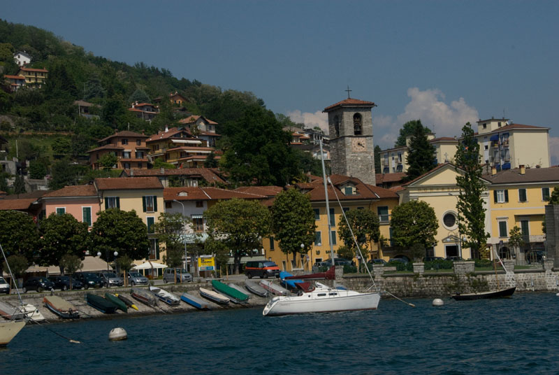
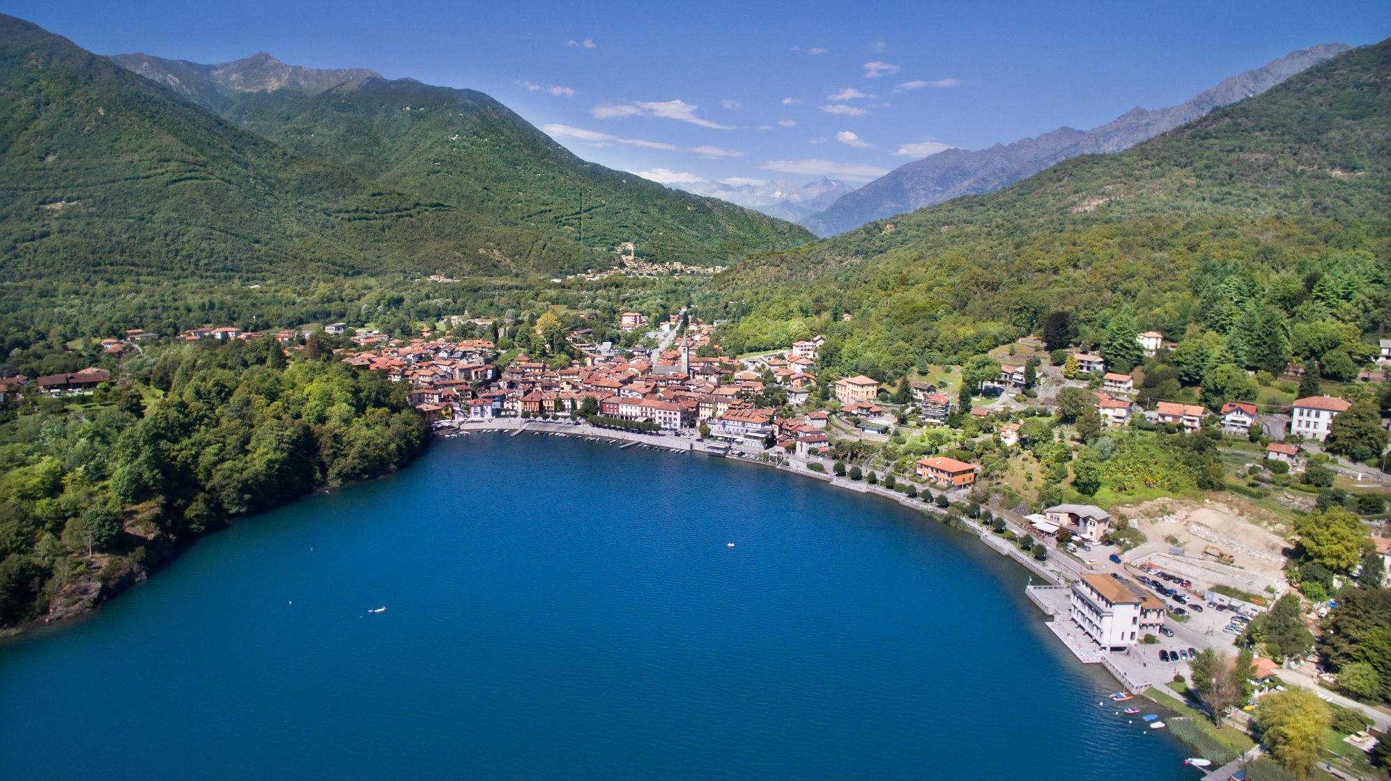
Description of the itinerary: The trail runs along the western shore of Lake Orta from Pella to Omegna, and then continues along the lower part of the Strona valley, about halfway up the mountain far from the industrial buildings at the bottom of the valley. It also goes through several villages that make up the municipality of Casale Court Cerro. The journey reaches the village of Gravellona Toce, where we turn toward Ossola and go in direction of Ornavasso. With a short detour, we can reach the Sanctuary of the Madonna del Boden. From Ornavasso, we cross the river Toce and head toward Lake Maggiore, finally reaching Mergozzo. We continue on the ridges overlooking Lake Mergozzo until we get to Cavandone, and then we go back down to Suna and the shores of the Borromeo Gulf.
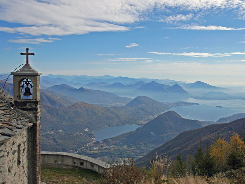
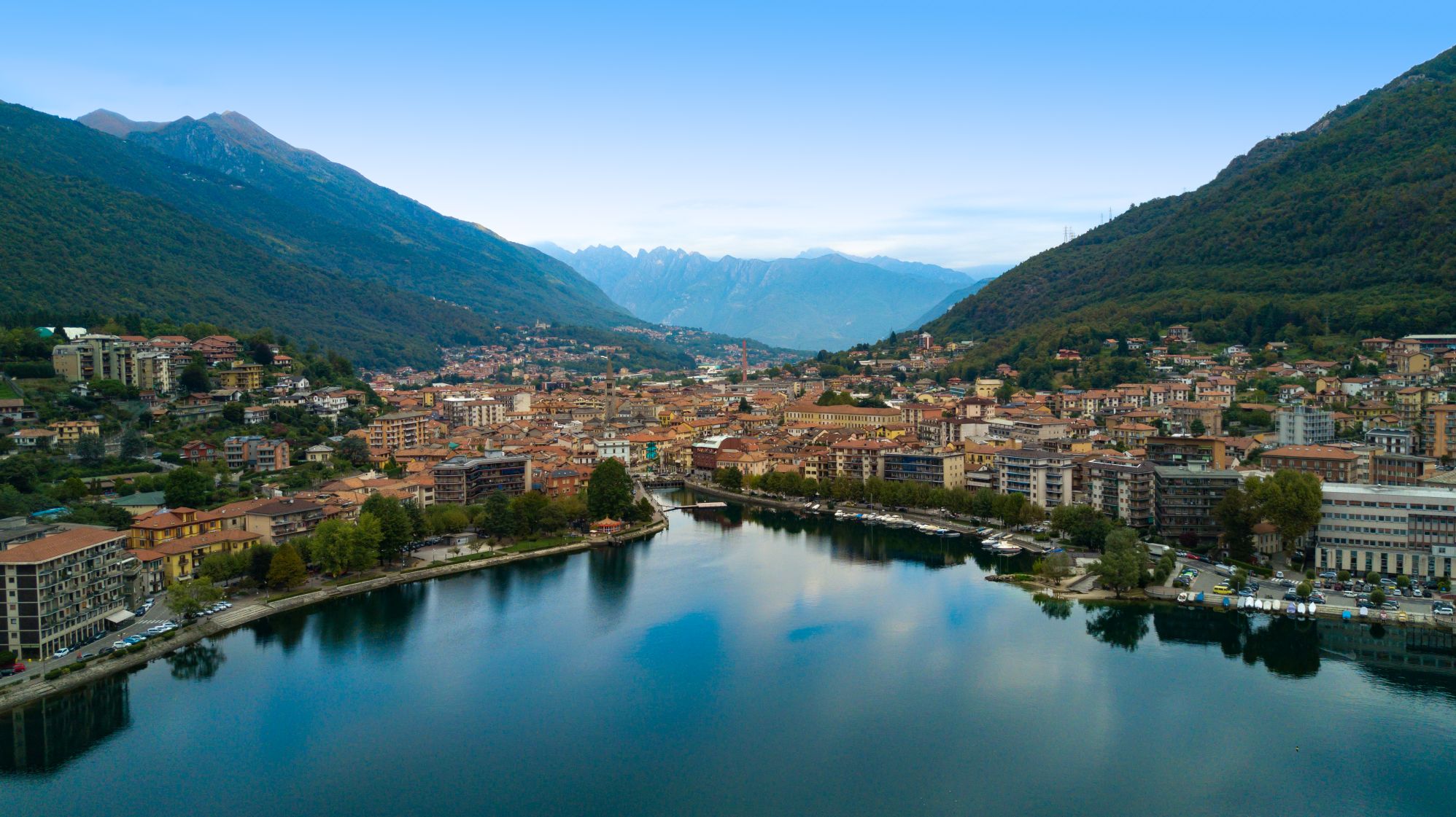
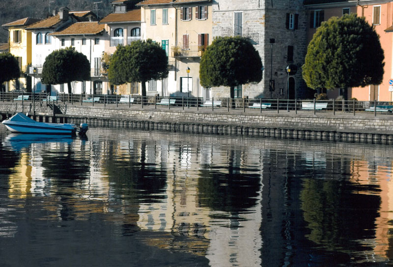
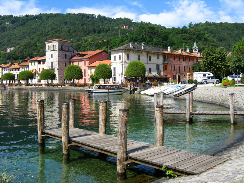
From the lakeside road of Pella, Piazza Motta, we go towards the cemetery to the asphalted road, with a wide view of Lake Orta and Mottarone. When we get to Ronco Inferiore, we find an ancient mule track that goes up to the village of Ronco Superiore, and from there we go north into dense woods on a path that continues at high altitude for a time. Then we come to Oira, a small village on the lake known for its serpentine quarry, a mineral used in various types of fine artwork. The itinerary goes slightly uphill as we walk through the woods towards Brolo. From there, it descends again to the hamlet Bagnella di Omegna on the lakefront path until we get to the town centre near the locks on the lake.
From the Omegna Town Hall, we pass through the historic centre, then cross the bridge on the Strona, and continue through the industrial zone of Crusinallo, always going north. We then leave the bottom of the valley and climb toward the villages of Cranna, Gattugno, Montebuglio and Tanchello and finally reach the main buildings of Casale Corte Cerro. The itinerary continues along the asphalt road toward the localities Crebbia and Ricciano, and then descends on a path to Gravellona Toce, in the locality Pedemonte.
The path skirts the base of the slope, crosses the residential area and leaves the town on the road that leads to Case Camponi, to then continue on dirt road and trail, always at the bottom of the valley, until we get to the cemetery at Ornavasso. From here, we take the street Via Alfredo di Dio to reach the centre and the railway station. We continue toward Ossola. At the bridge over Rio S. Carlo, we can take a detour to the left, and climb to the Sanctuary of Madonna del Boden, along the ancient Via Crucis of Boden. Or we can turn right towards the Toce River, and cross it over a bicycle-pedestrian walkway to reach Candoglia, a place that is famous for its pink marble and its quarries exploited for the construction of the Cathedral of Milan.
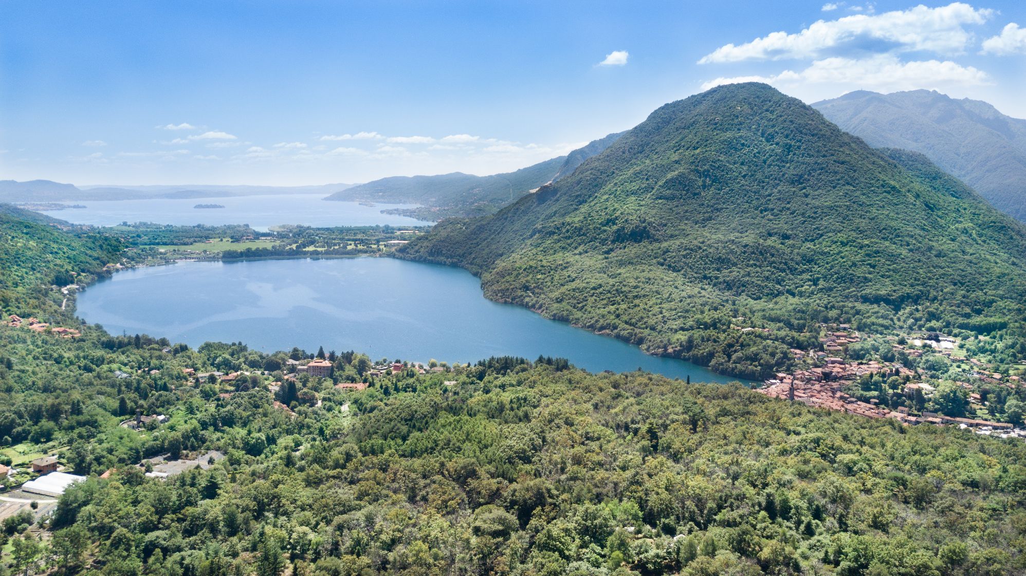
We change now direction altogether, turning toward Lake Maggiore, along the bike path Mergozzo-Candoglia, to arrive in a short time at the medieval village and Lake Mergozzo. From there, the path continues on the Sentiero Azzurro (Blue Path), a convenient and easy-to-walk mule track that leads to the hamlet Montorfano and the church of San Giovanni Battista.
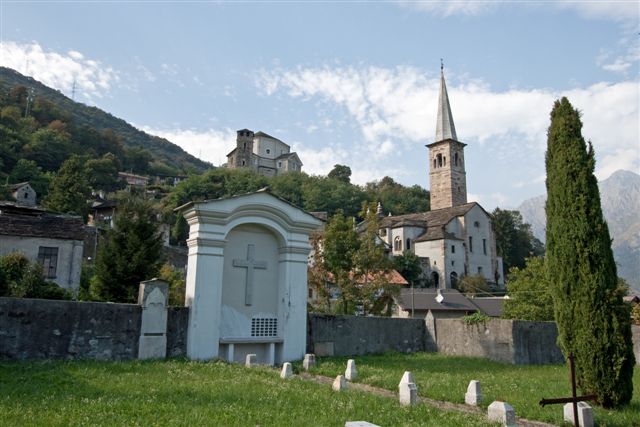
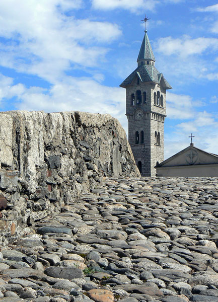
Then we descend again to the bottom of the valley on the municipal road and go towards the Natural Reserve of Fondotoce, along the river up to its mouth. Finally, we turn towards the reed bed and the village of Fondotoce. We cross the state road and ascend on a trail in the direction of Cavandone, another characteristic village overlooking the Borromeo Gulf, in order to reach the Church of the Nativity of the Virgin Mary, along its ancient yew tree. A short climb leads to the picturesque village with its architecture in stone.
The trail then descends on a mule track toward Suna, gradually losing elevation to reach the shore of Lake Maggiore.
POINTS OF INTEREST
Pella
Chiesa di San Filiberto
Chiesa parrocchiale di Sant’Albino
Chiesa di San Defendente
Oratorio della Natività di Maria Santissima
Nonio
Oratorio della Madonna della Neve
Cava di Serpentino di Oira
Chiesa di San Silvestro
Brolo
Chiesa Parrocchiale di Sant’Antonio
Omegna
Chiesa di San Bernardino da Siena
Chiesa Parrocchiale di Sant’Ambrogio
Battistero di San Giovanni Battista
Porta Romana o Porta della Valle
Chiesa Parrocchiale di San Gaudenzio
Casale Corte Cerro
Chiesa Parrocchiale di San Tommaso
Chiesa Parrocchiale di San Giorgio Martire
Oratorio di San Giovanni
Oratorio della SS Trinità
Ornavasso
Santuario della Madonna del Boden
Santuario della Guardia
Rotonda del Crocifisso
Torre medioevale
Linea Cadorna
Antica Cava
Museo Parrocchiale di Arte Sacra
Casa Museo del partigiano “A. Di Dio”
Mergozzo
Chiesa di San Graziano
Chiesa di Santa Maria di Prato Scopello
Chiesa Parrocchiale della Beata vergine Assunta
Chiesa di Santa Marta
Museo Archeologico
Chiesa di San Giovanni Battista in Montorfano
Verbania
Riserva Naturale di Fondotoce
Chiesa della Natività di Maria Vergine
Tasso secolare
TECHNICAL NOTES
LEGS: the journey is recommended in three legs: from Pella to Omegna (12 km), from Omegna to Mergozzo (16 km), and from Mergozzo to Suna (8 km)
DIFFERENCE IN ELEVATION: lowest altitude of the itinerary, 204 m a.s.l.; highest, 470 m a.s.l. See the map.
DURATION: from 3 to 6 hours for each leg
TYPE OF PATH: Excursion – MAINLY DIRT ROADS
FACILITIES
STRUTTURE RICETTIVE
FOR MORE DETAILS
www.lagodorta.net
www.ecomuseogranitomontorfano.it
Back to the list of routes
