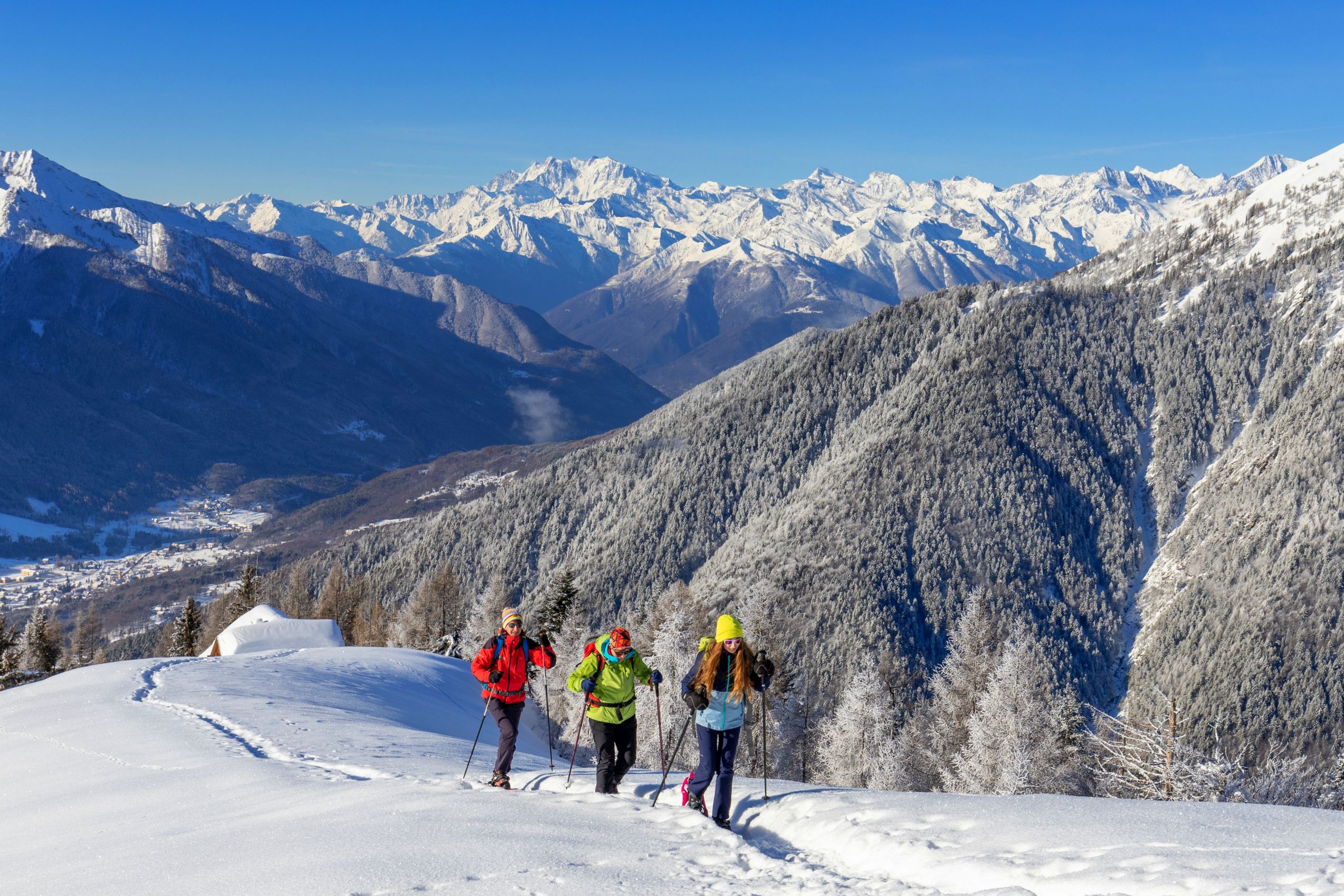
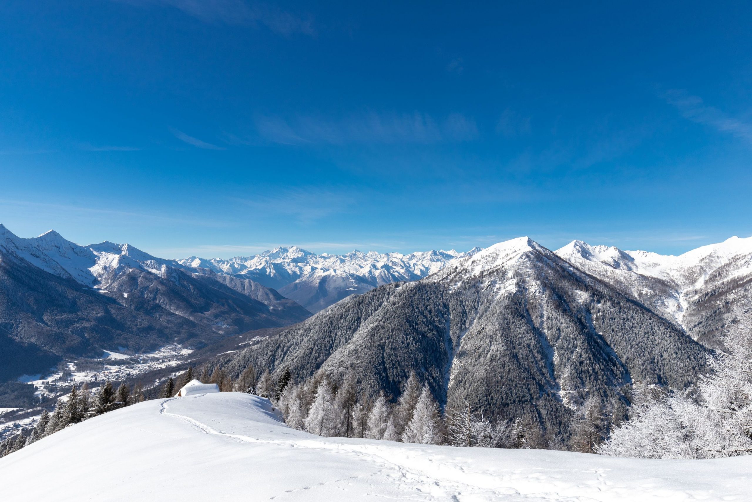
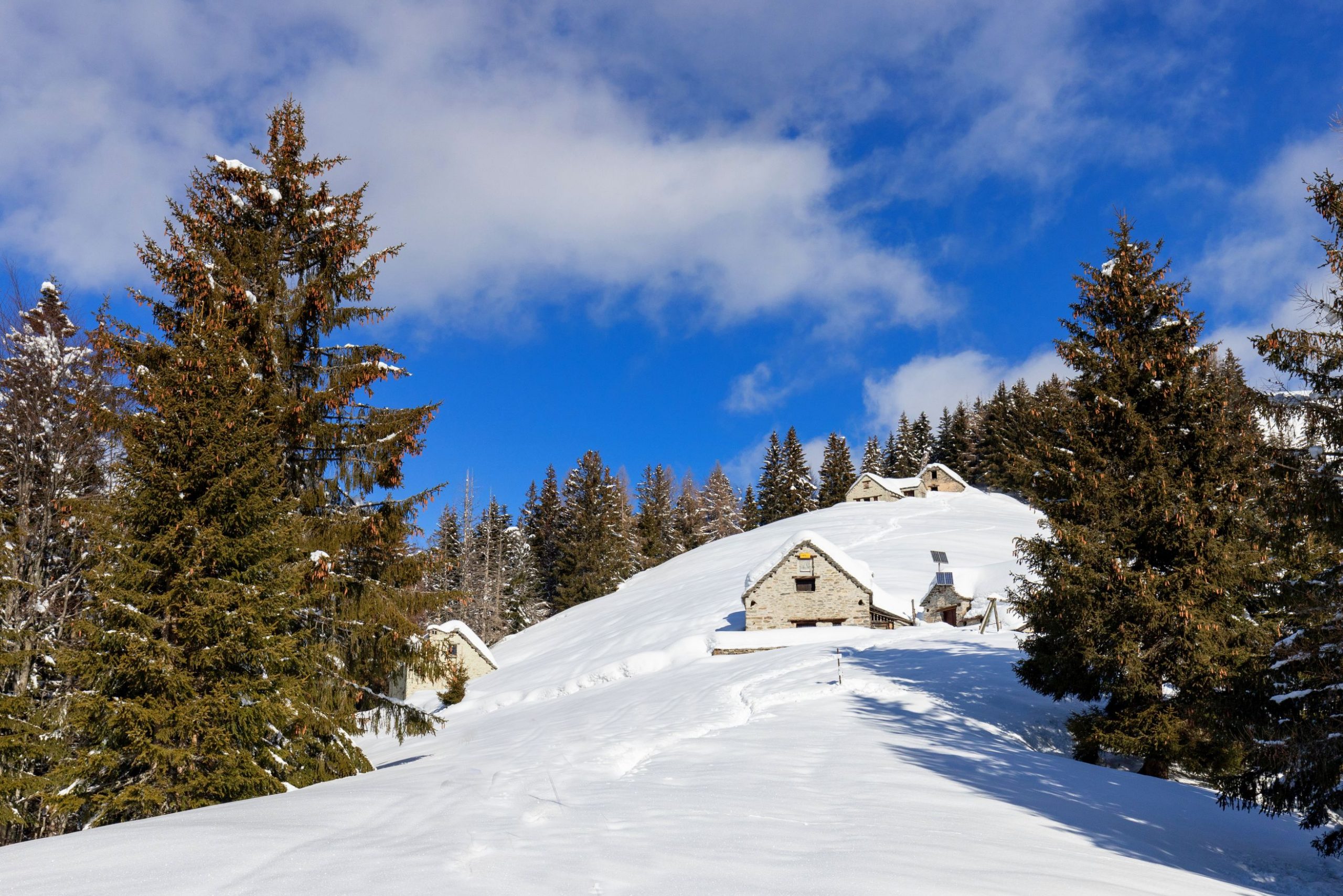
A grandiose view of the peaks of the Val Grande and nearby Switzerland
TO THE PANORAMAS OF COLMA DI FUORI
Route description
A steep and demanding hike through a fascinating, dense pine forest that almost surprisingly comes out on wide alpine meadows with a grandiose view of the peaks of the Val Grande and nearby Switzerland
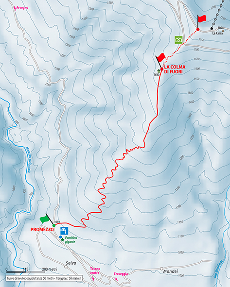
Place of departure: Toceno, locality Promezzo (1010 m.)
Place of arrival: Colma di Fuori (1630 m.)
Height difference: +620 m one way
Distance: 2 km one way
Travel time net of stops: 3 hours one way
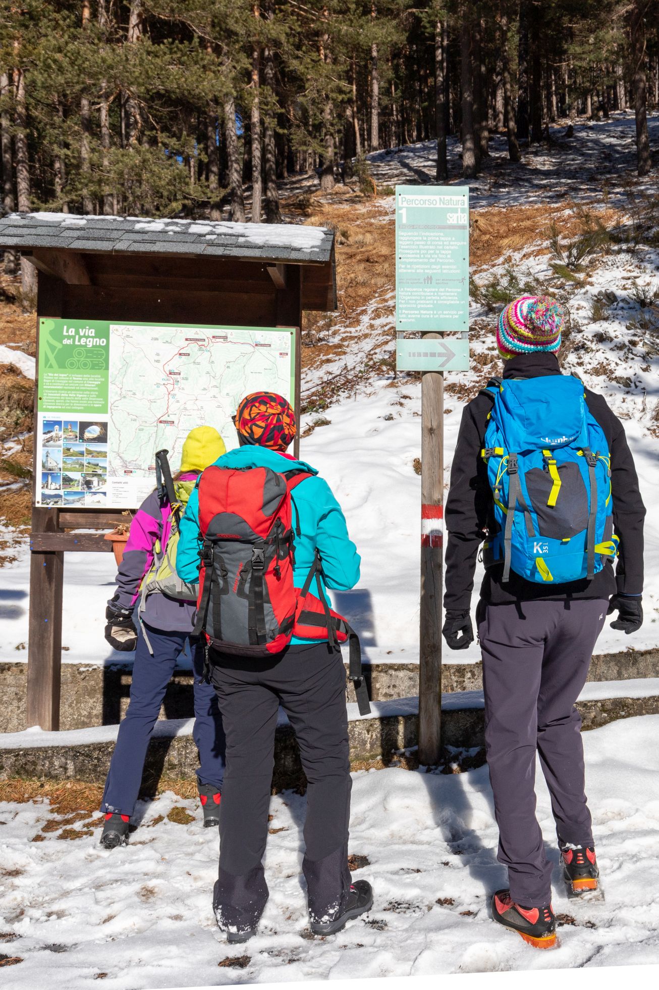
Signage: white/red signs “Colma di Fuori”, sparse white/red circles and occasional red signs
How to get there: 18 km from Domodossola. Strada Statale 33 del Sempione exit Masera. Follow the directions for the Strada Statale 337 della Valle Vigezzo to the municipality of Toceno and take via Arvogno to Promezzo
The itinerary:
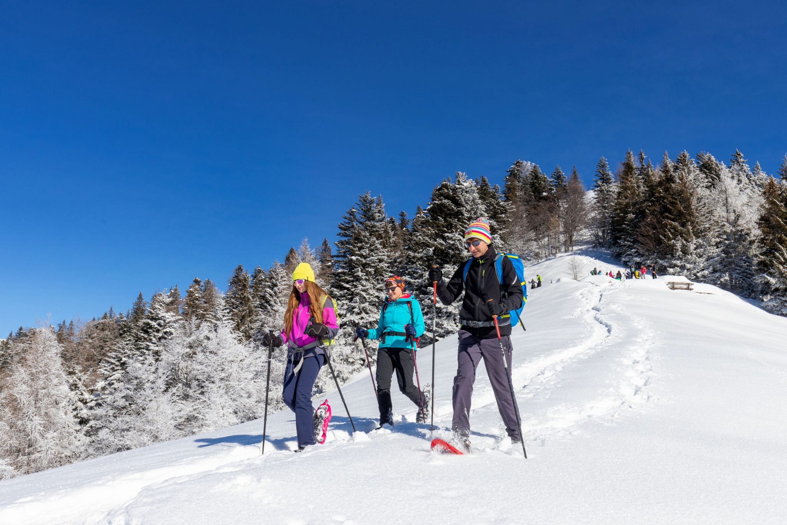
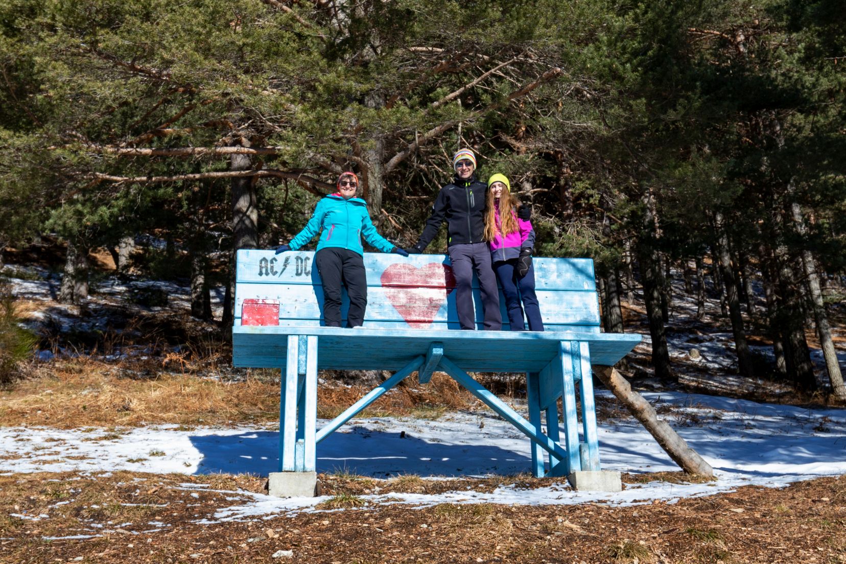
From the entrance of Via Località Promezzo, where the Alpini headquarters are located, continue briefly uphill on the asphalt past a giant turquoise bench and a fountain. After about 0.15 km the route starts on the right (signpost). A mule track climbs steeply from the start, entering the forest, at times crossing a dirt road and continuing further on, still very steep.
The route climbs up through the dense pine forest, zigzagging and always very steep, with no obvious crossroads.
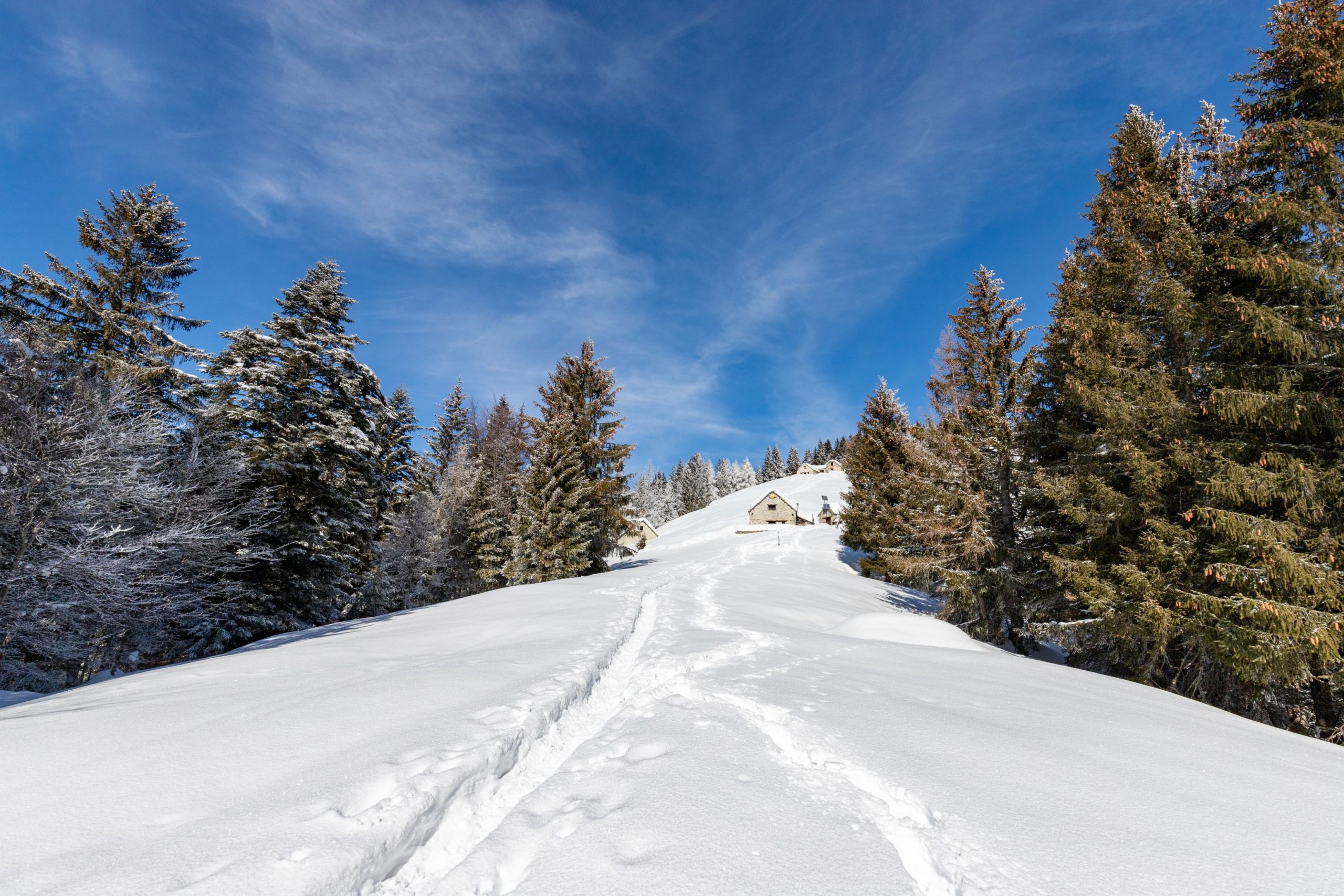
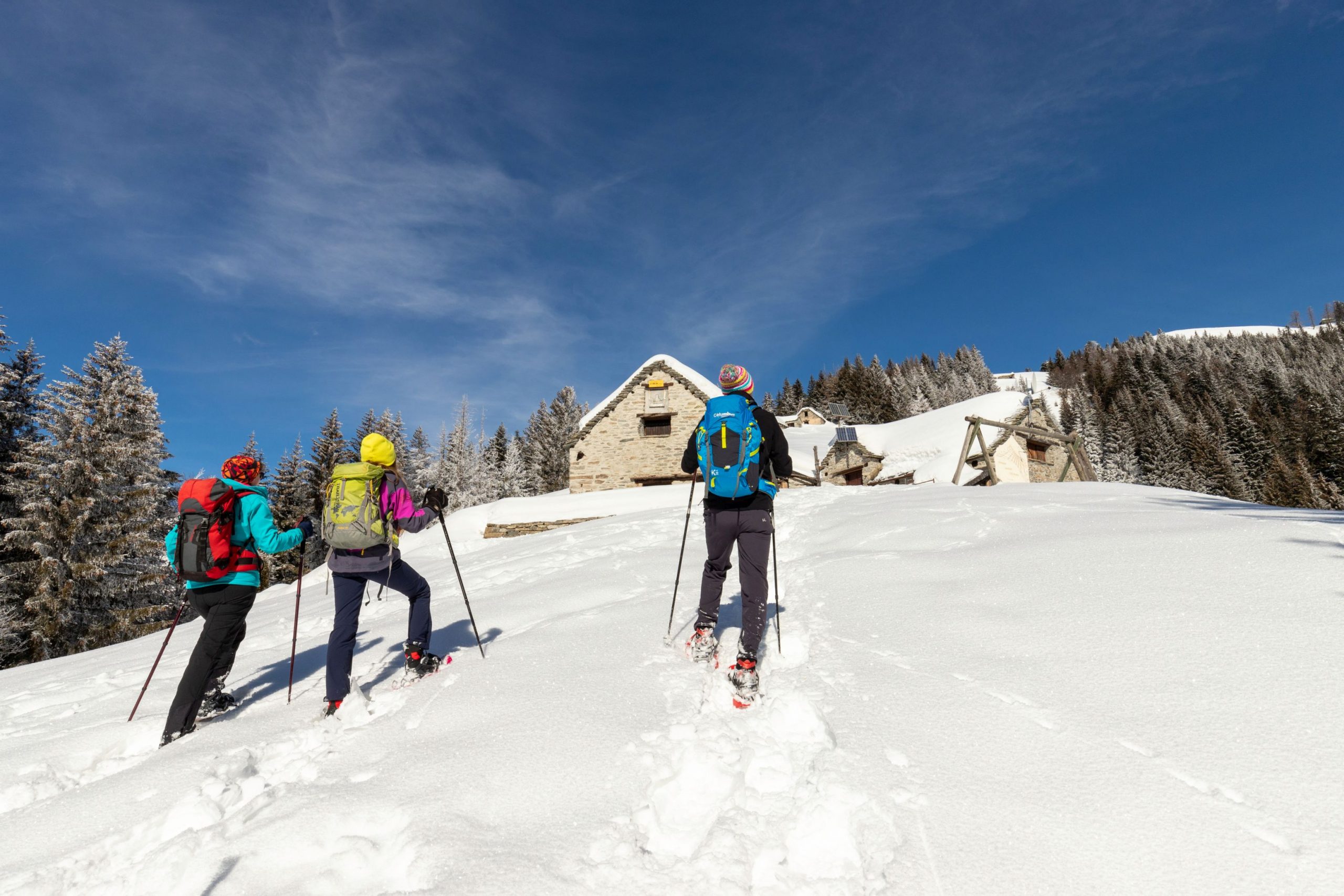
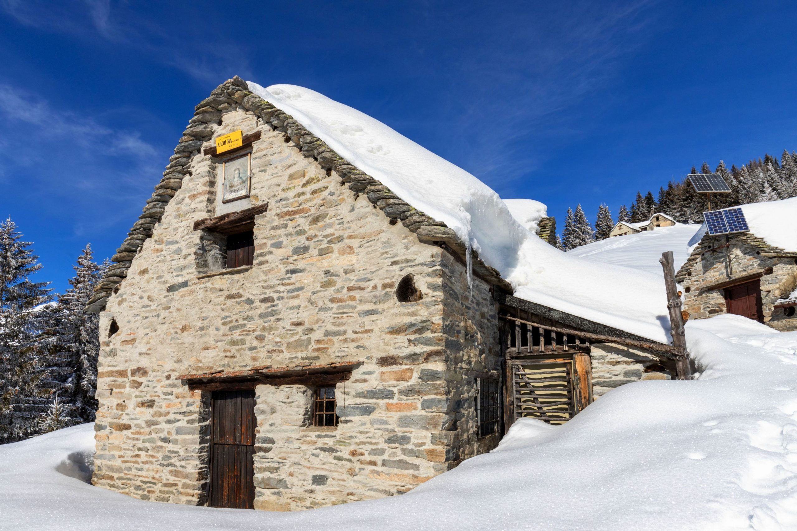
When the vegetation becomes sparser, opening up like a sort of “track”, go straight up to the centre of it, arriving at the first houses of Colma di Fuori: a couple of buildings from which there is a panoramic view of the Val Grande peaks with wide pastures all around. Here, baby snowshoers can roam freely and build snowmen, who will be enjoying the view for a long time. Straight up along the meadow you reach the other, somewhat ruined, buildings of Colma di Fuori, from where an even wider view opens up.
For those who still have energy in their legs, it is possible to continue the route by climbing very steeply back into the forest. Follow a sort of track through the trees that rises up towards a secluded, well-renovated building. Go around it and climb straight on across an exposed slope to reach an obvious fork with a flat stretch. From here, continue straight ahead (signpost “La Cima”), tackling a final slope that leads to the Piana di Vigezzo ski resort, at the edge of the “Baita Rosa” ski slope, a spectacular viewpoint that also opens out in the direction of Monte Rosa (a further +150 m in height difference, 0.6 km, 45 minutes).
The return journey is by the same route as the outward journey.
Tips for baby snowshoers
A destination with a magnificent panorama and a route suitable for well-motivated grwn-up children due to the steepness of the track and the development of the route through the forest.
An alternative way to make the hike suitable for more people and more fun is to take the cable car from Fraz. Prestinone di Craveggia, arriving in a short time at Piana di Vigezzo; from here, partially follow the Panoramic Ring of Piana di Vigezzo and then walk the entire route downhill (white/red sign “La Colma di Fuori” and then “Loc. Promez”). In this case it is better to organise yourself with two cars.
NOTE: Not to be walked immediately after heavy snowfall, since if the route has not been groomed, the lack of signposting may give rise to some doubts.
CONTACTS FOR TOURIST INFORMATION
UFFICIO IAT
Piazza Risorgimento 28 – 28857 Santa Maria Maggiore (VB)
Tel. +39 0324 95091
Email: info@santamariamaggiore.info
COMUNE DI TOCENO
Piazza della Chiesa 4 – 28858 Toceno (VB)
Tel. +39 0324 98035
Email: demografici@comune.toceno.vb.it
Path makers: Franco Voglino, Annalisa Porporato and Nora Voglino
Authors of the text: Franco Voglino, Annalisa Porporato
The path is described in the book “SNOW TREK” of Distretto Turistico dei Laghi – edition 2021
The routes were suggested by ski operators and municipalities Partner of Neveazzurra project. We decline any responsability regarding the effective feasibility and any changes that the routes can suffer. Maps and tracks are purely indicative of the route.
Safety annotations:
Here are some practical tips: find out about weather and snow conditions, checking the forecasts especially at local level; check the avalanche bulletin for the relevant area; equip yourself with and carry PSA self-rescue equipment: shovel, probe and ARTVa; wear warm, waterproof clothing that is comfortable and consists of several layers… despite the snow, you will get warm as you move; hiking shoes or mountain boots depending on the area, terrain and altitude where the hike takes place; bring gloves, cap, sunglasses and sunscreen; pack a rucksack with a spare shirt and hot drinks; during the hike, always check the slopes above you; avalanches usually break off on slopes with a gradient of more than 25° and can also continue on flat sections.
Back to the list of routes