THE OVER 1000 KM-LONG ROUTE OF THE GTA IN PIEDMONT
THE GREAT CROSSING OF THE ALPS – GTA: NORTH PIEDMONT STRETCH
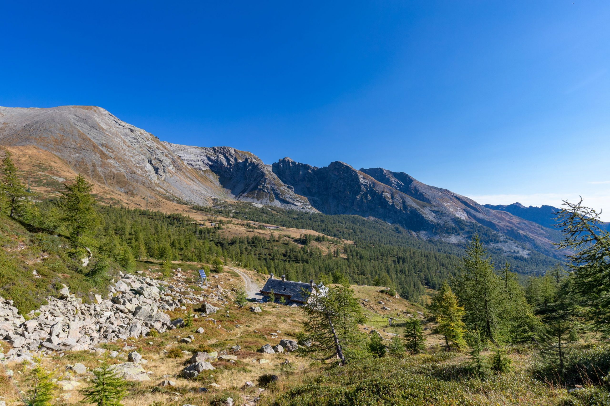
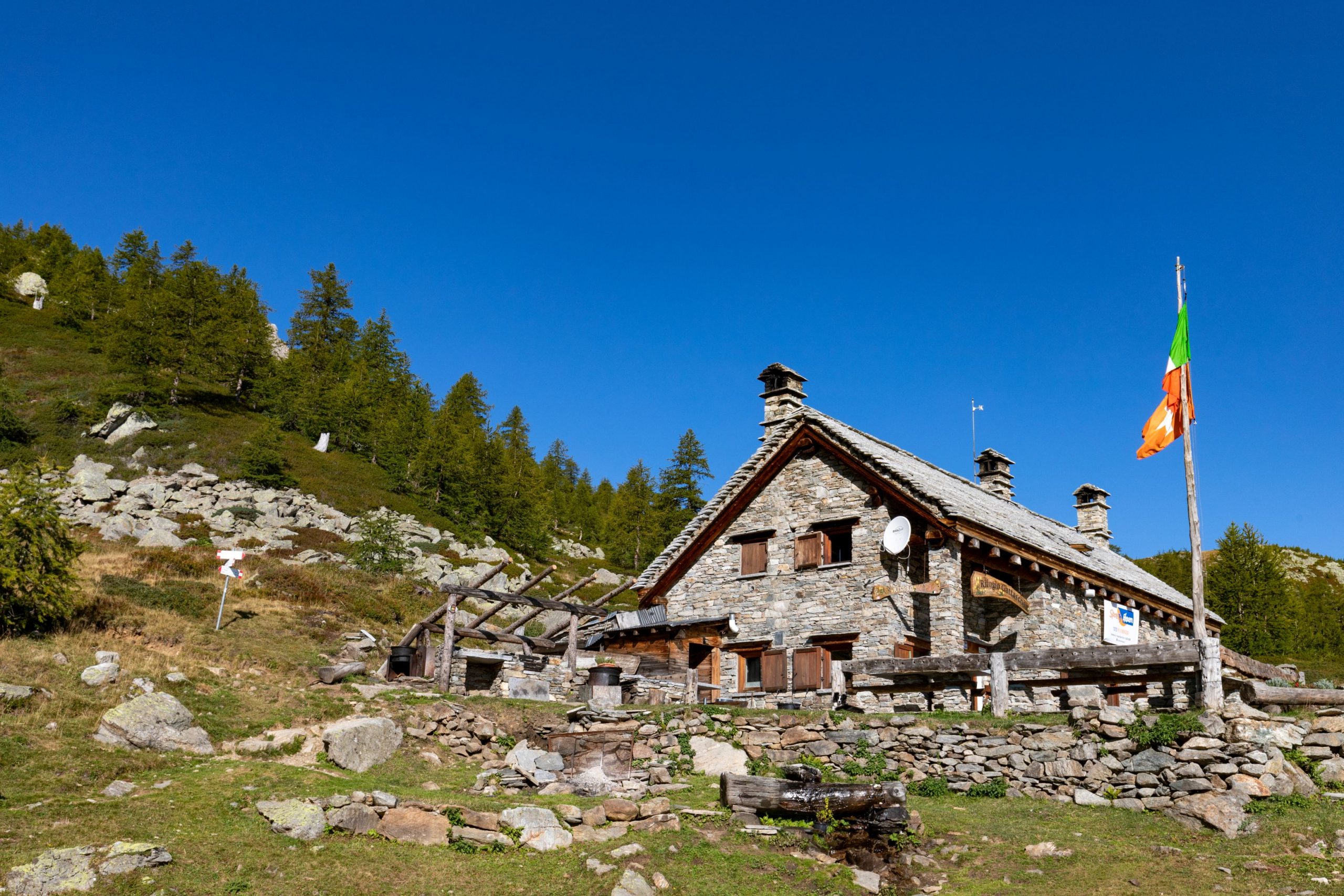
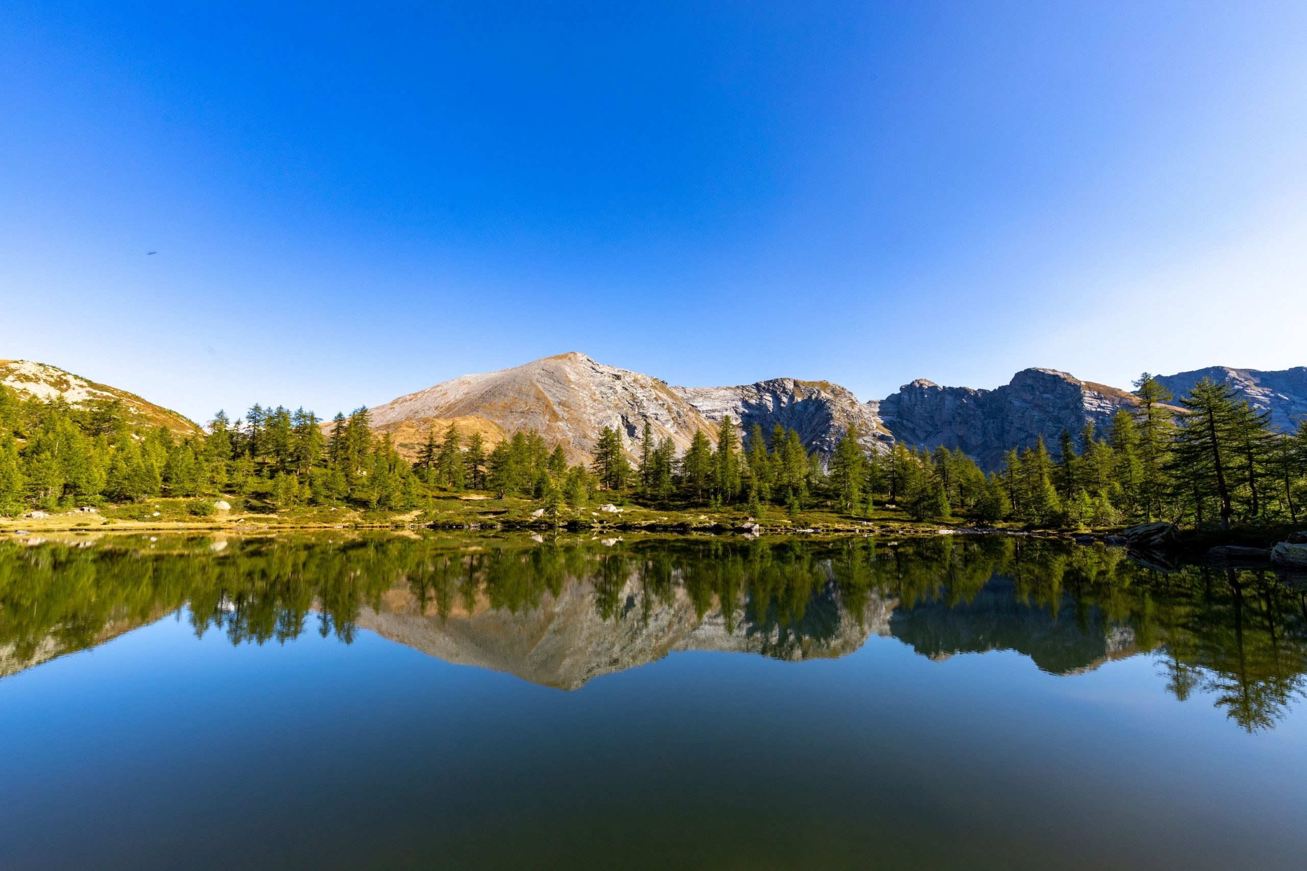
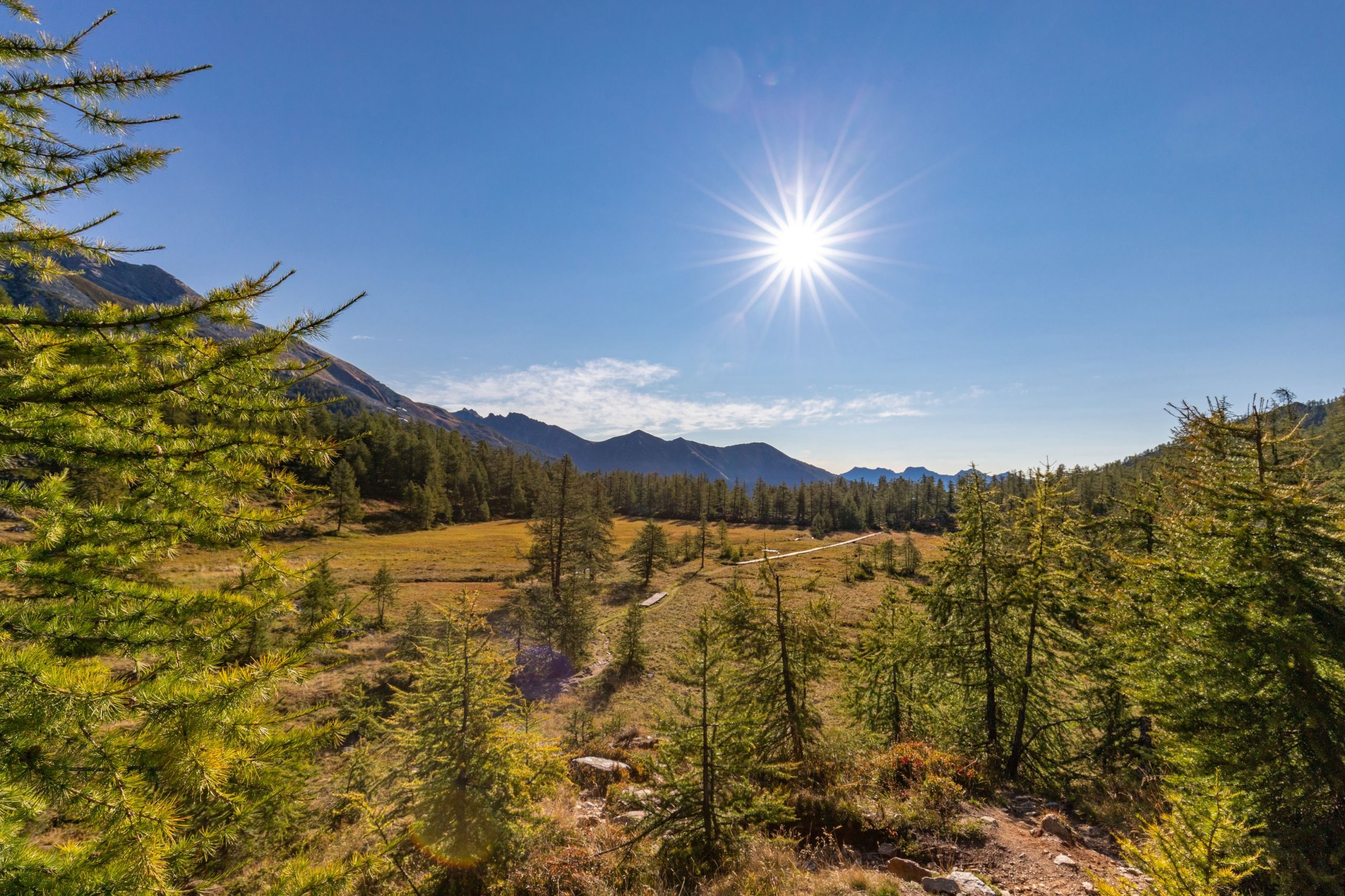
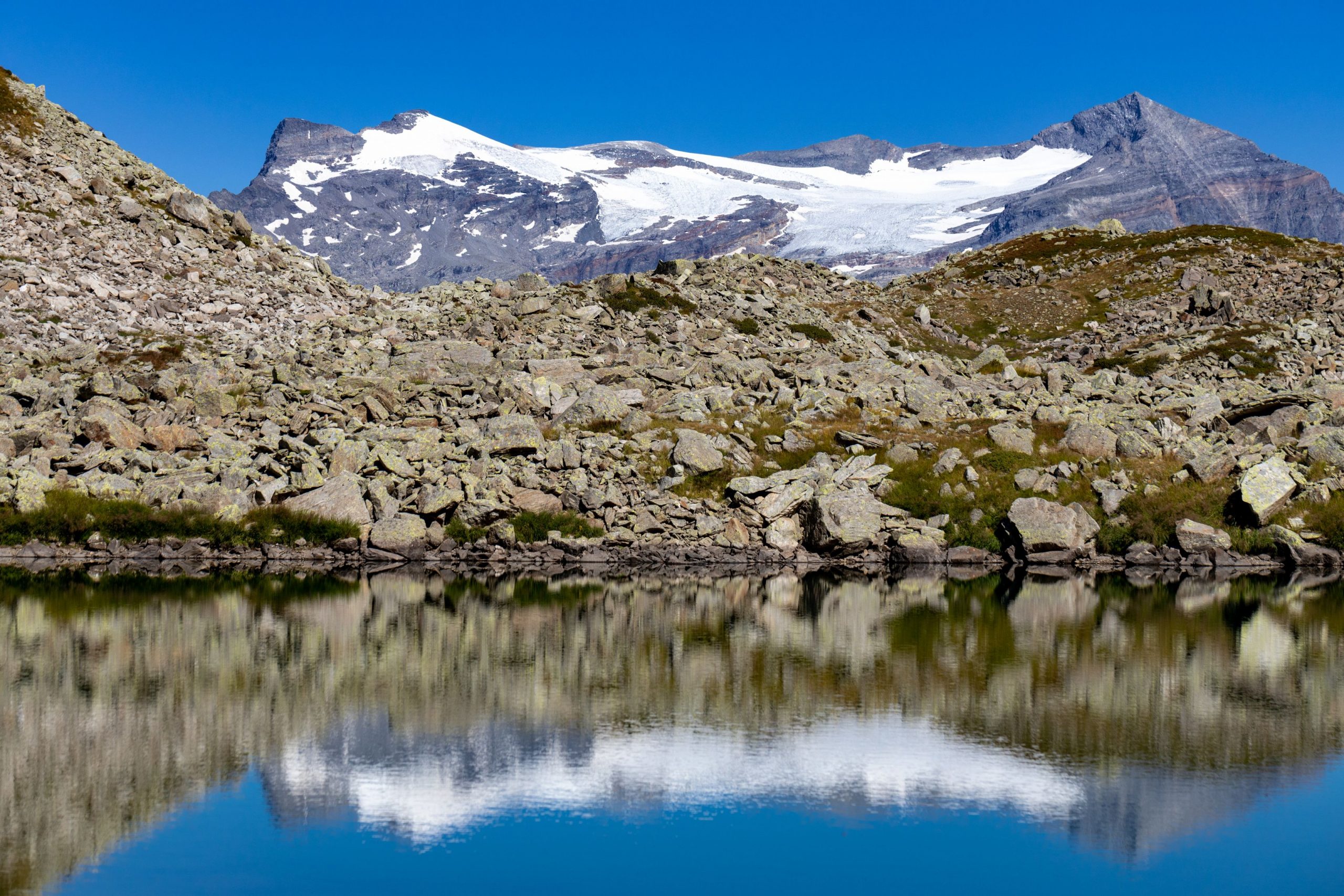
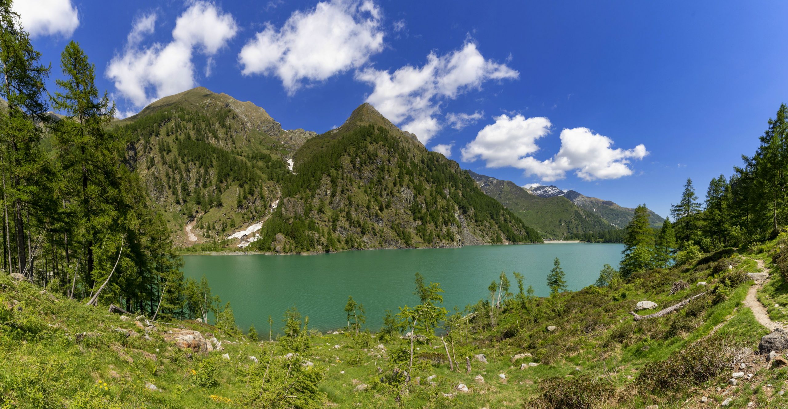
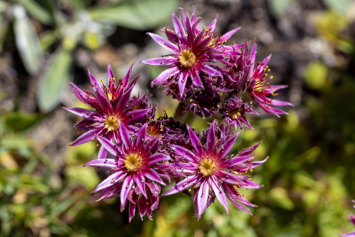
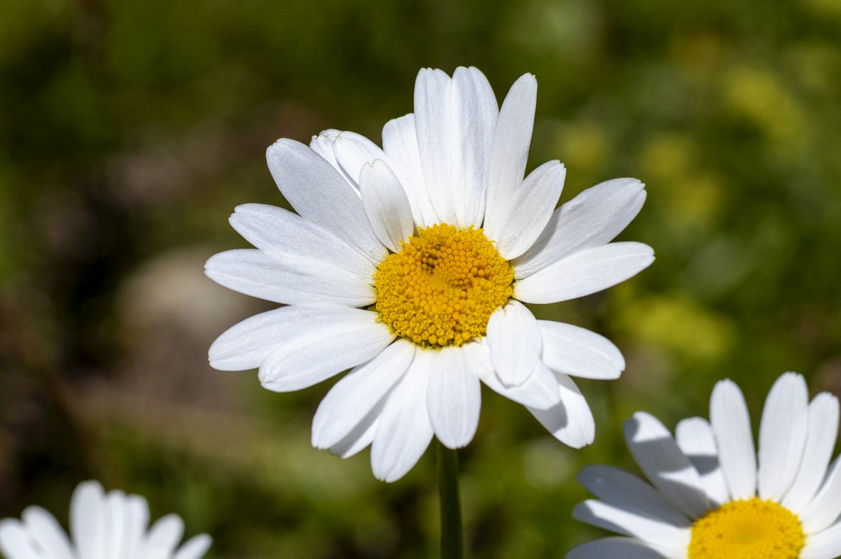
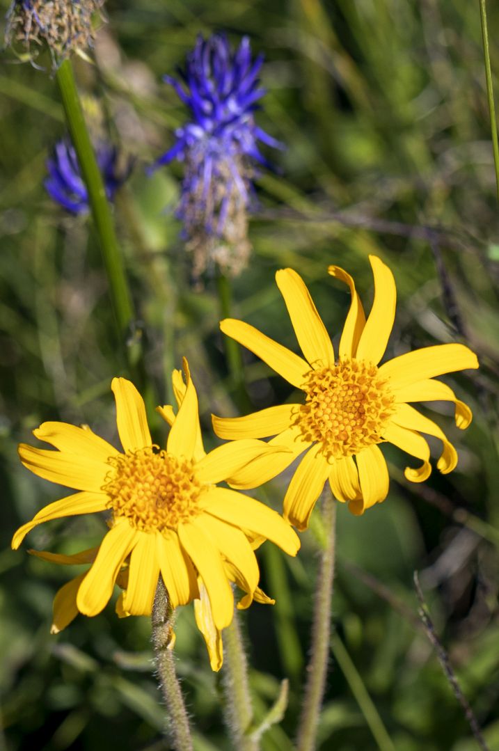
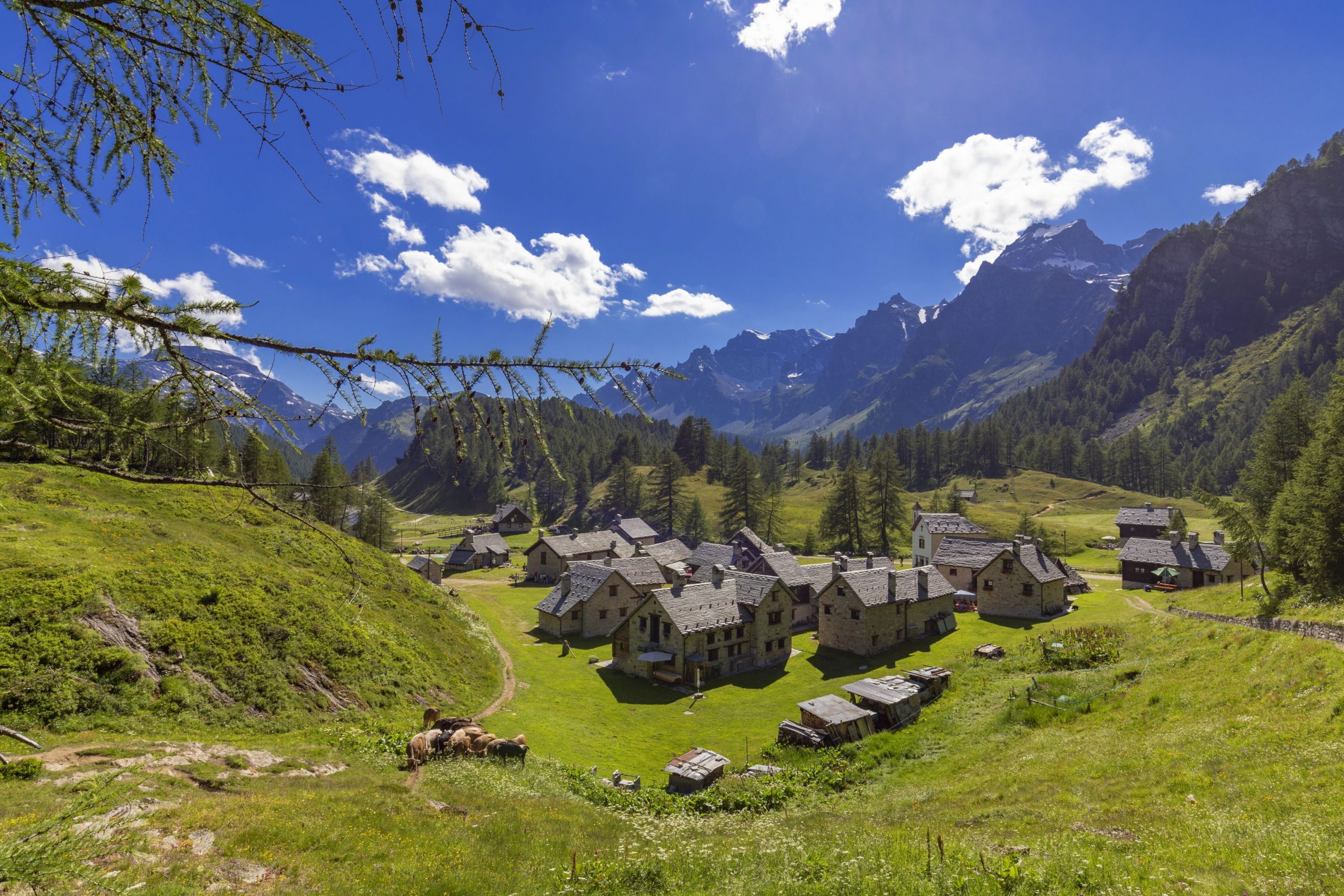
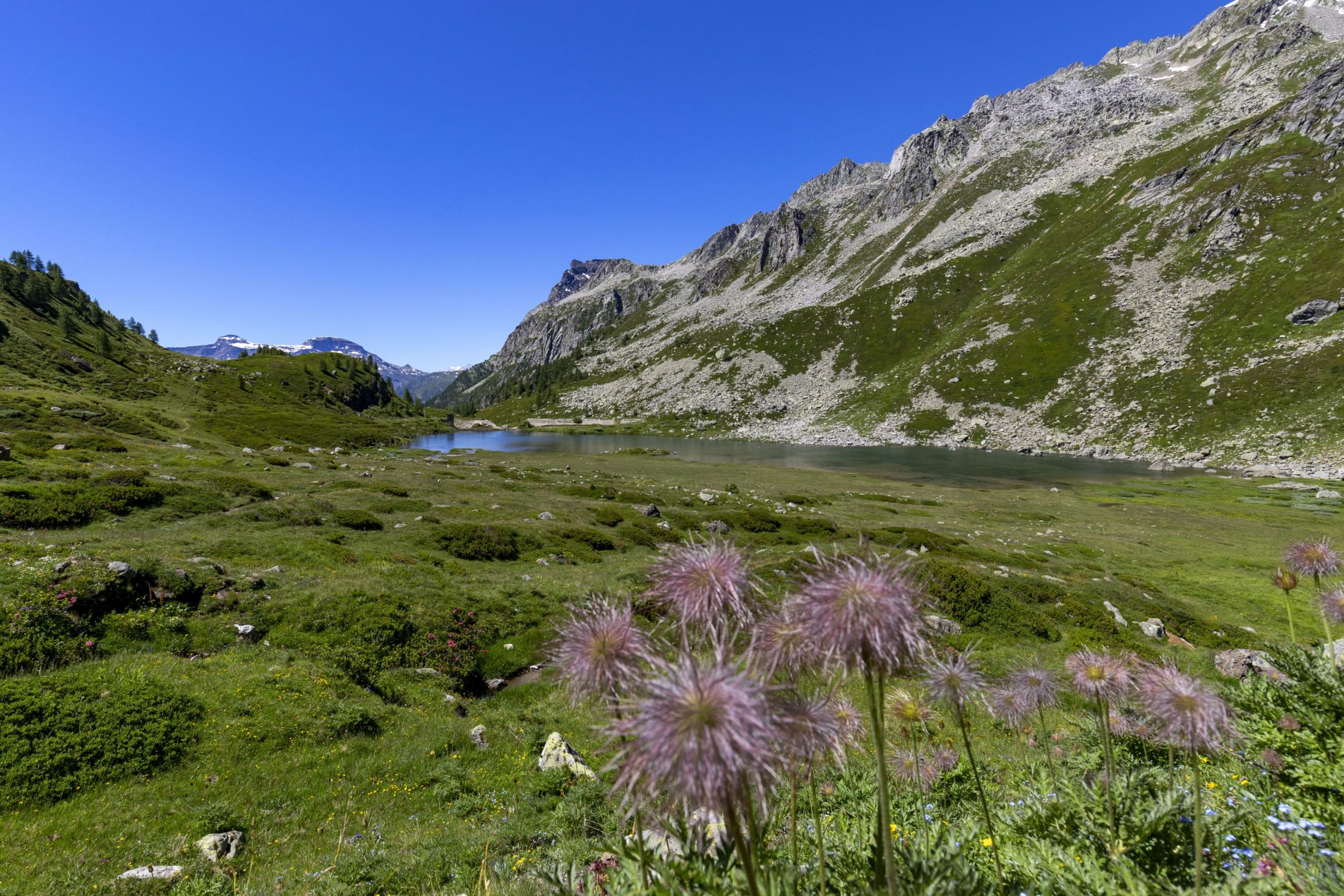
Alpi Veglia-Devero
Route description
The long route of the GTA in Piedmont, which is over 1000 km long, was split, also for practical reasons in terms of data download and management, into three large sections corresponding to the northern, central, and southern areas of the Region.
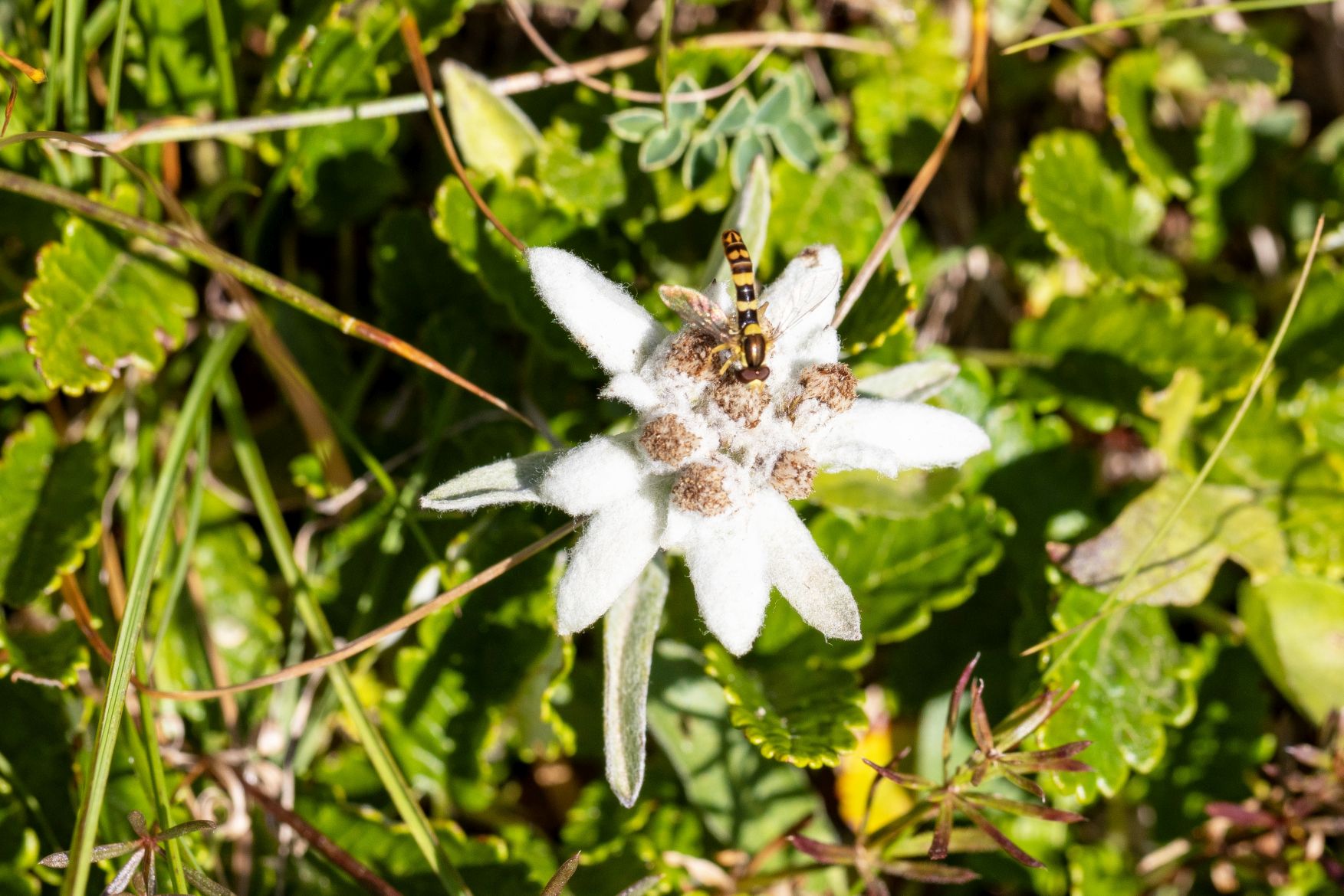
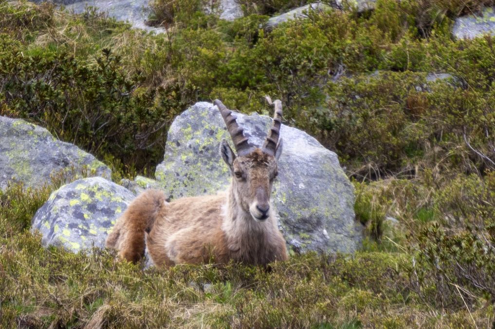
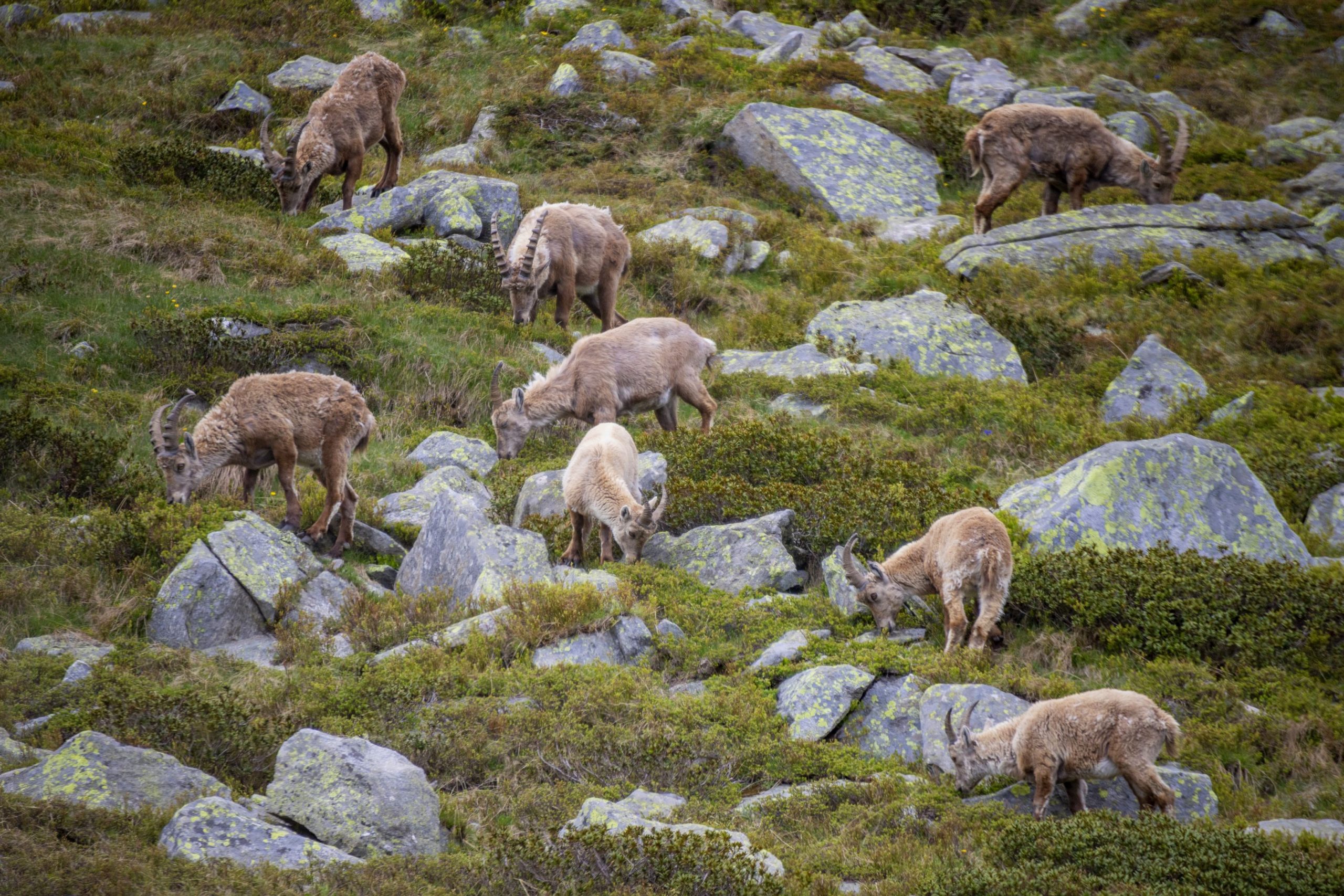
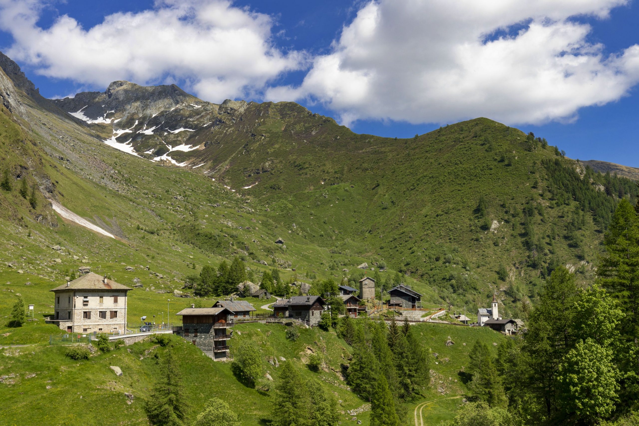
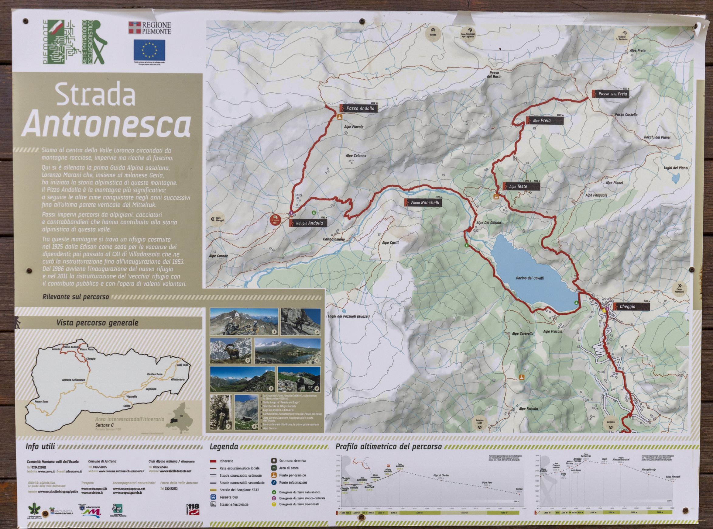
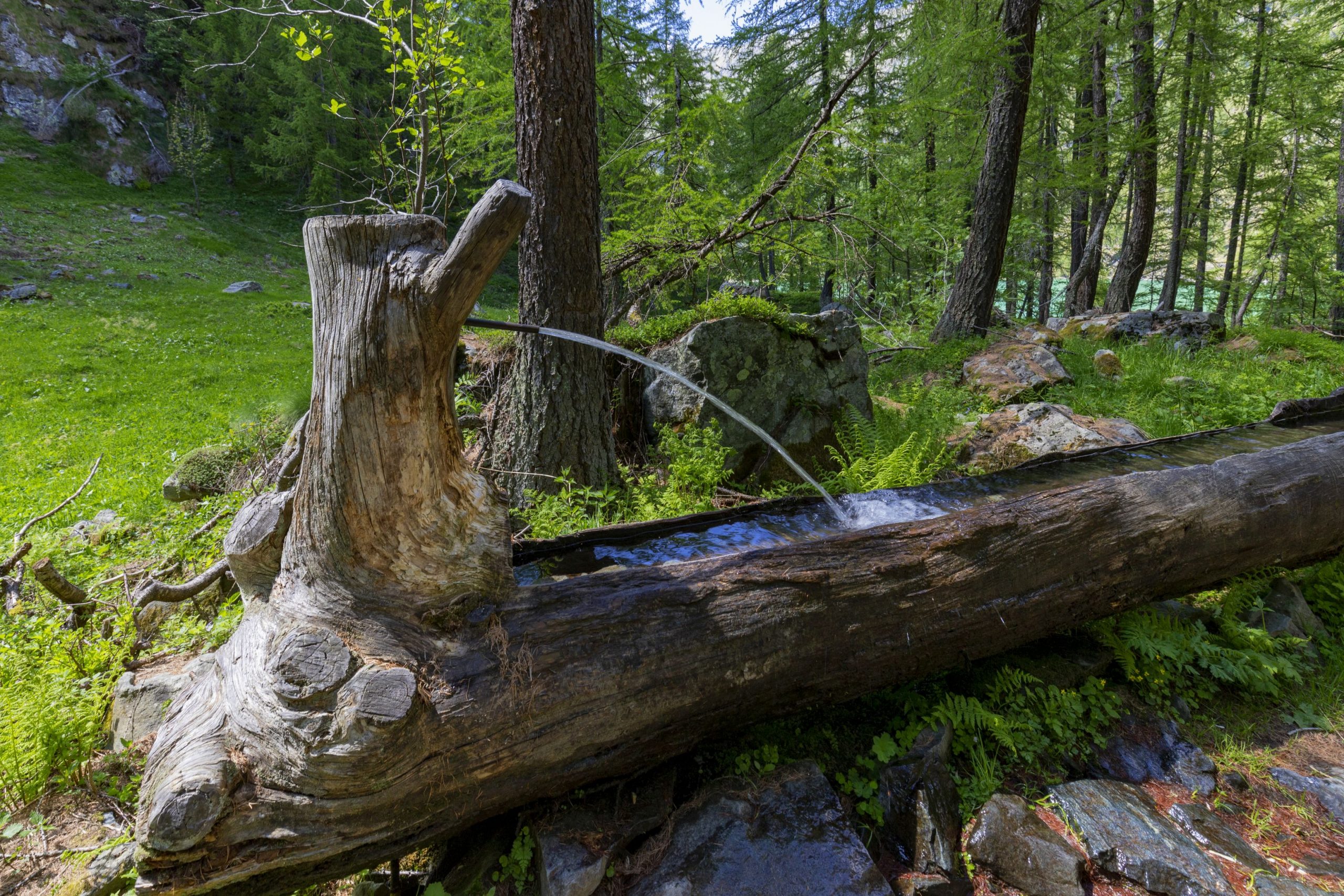
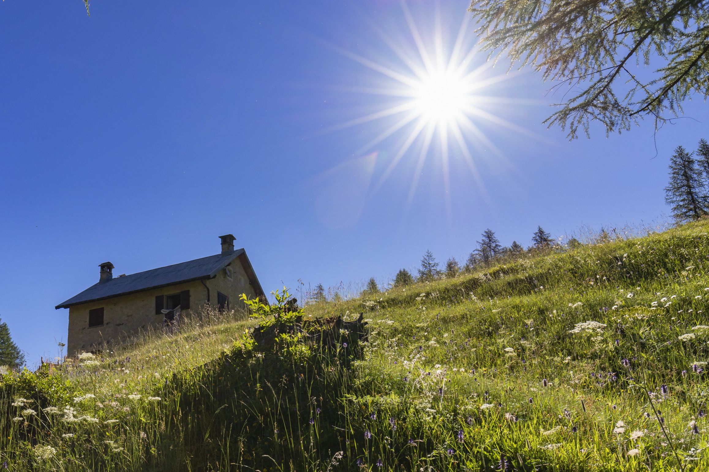
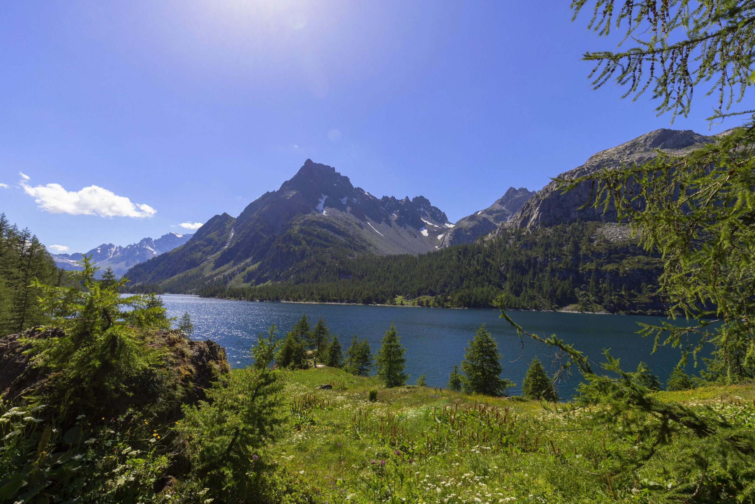
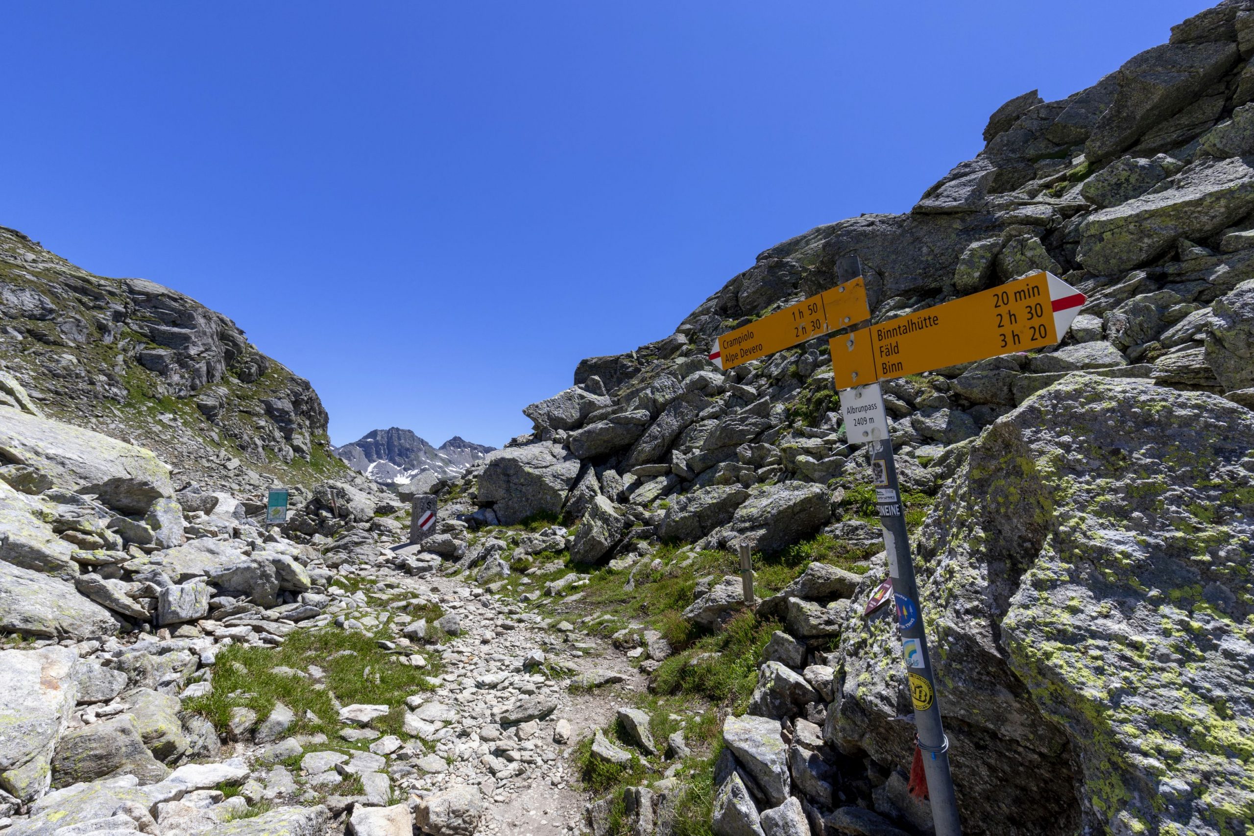
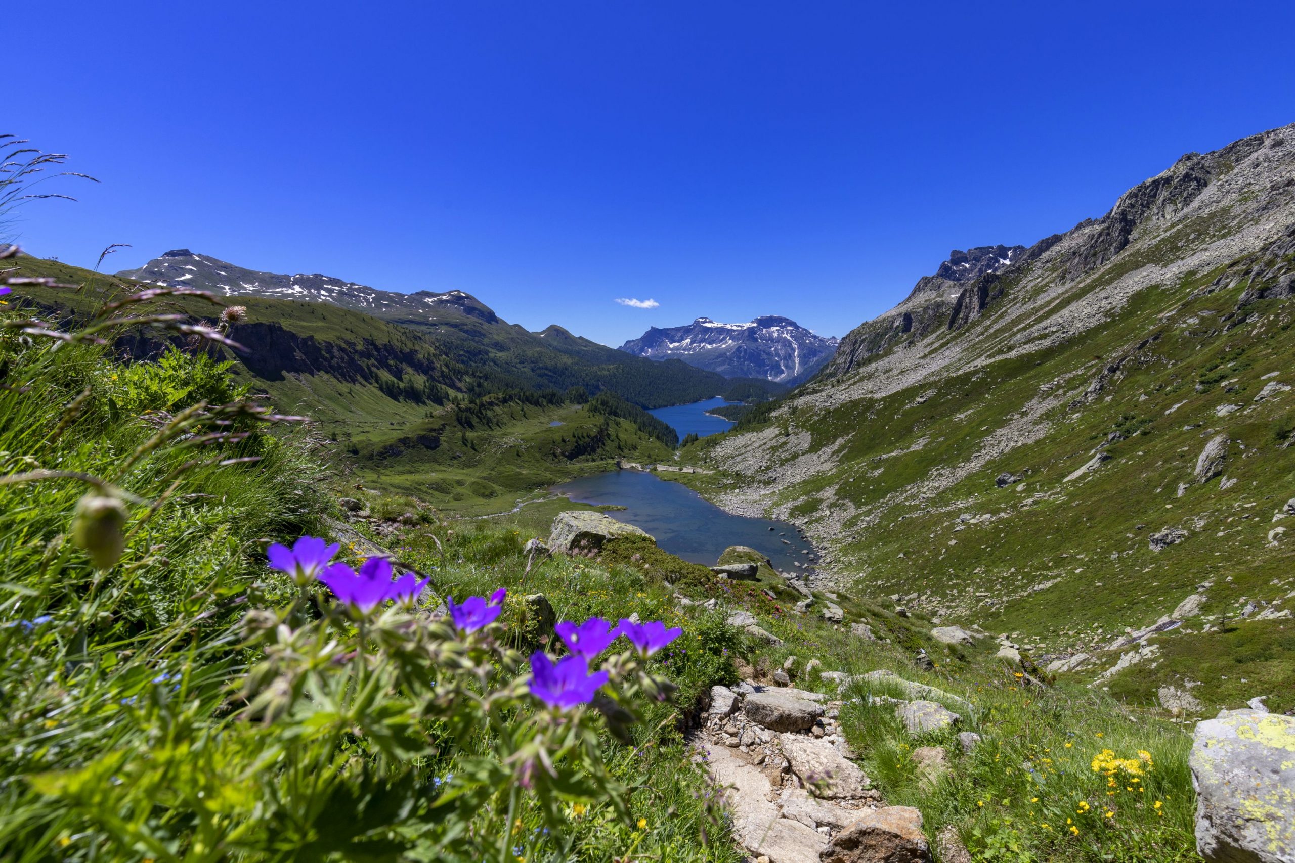
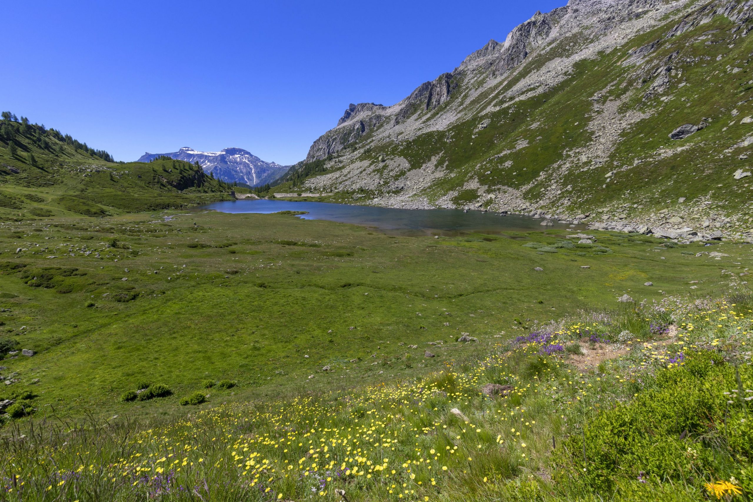
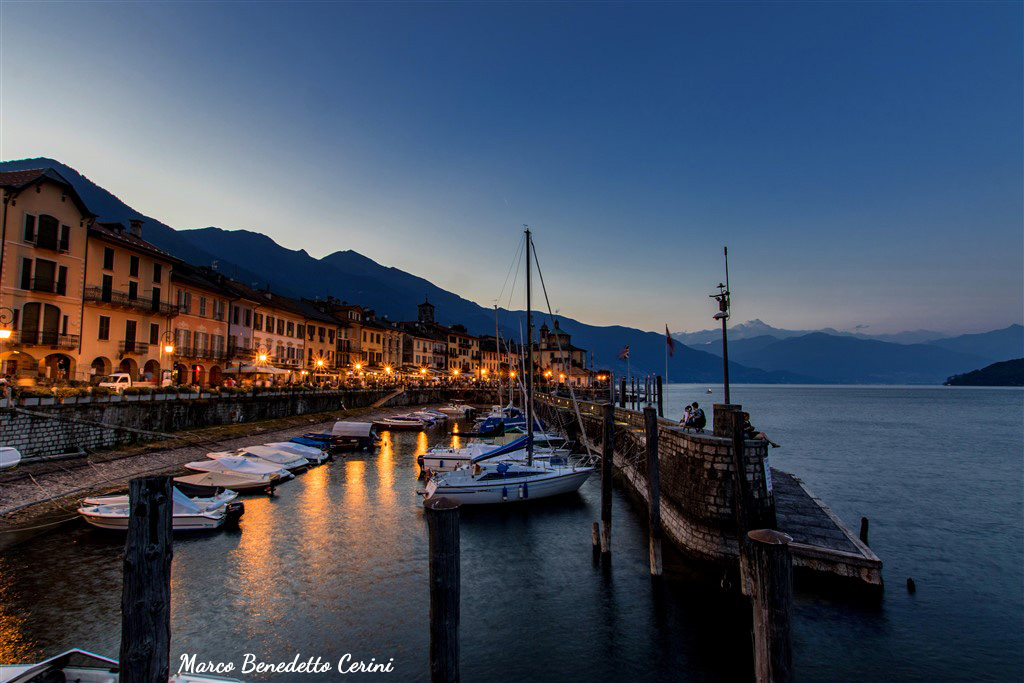
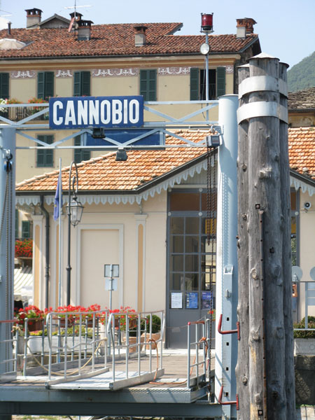
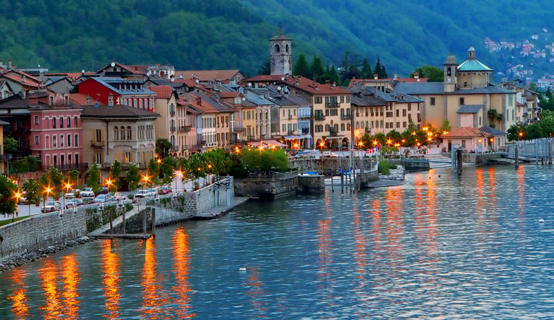
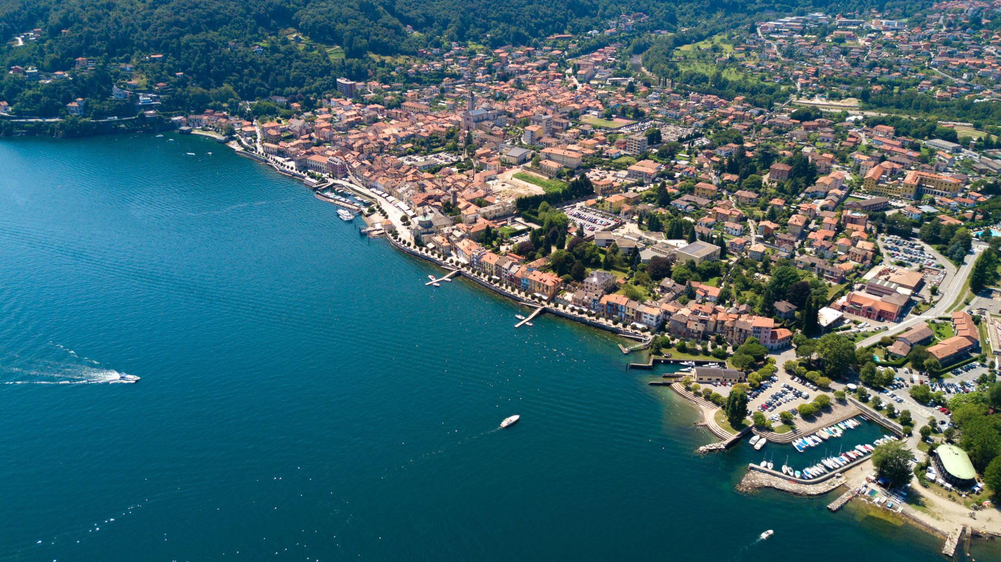
The north section starts from Cannobio on Lake Maggiore. It spans across a considerable variety of contexts of significant environmental and landscape value. The route climbs first northwards through the Swiss Maggia Valley or, as a variant, along the wild Isorno Valley heading towards the Formazza Valley, the extreme strip of Piedmont wedged between the Swiss cantons Ticino and Valais. From the hamlet of Riale, the northernmost point from which the roads to the nearby Swiss hills start, the long descent to the south begins, passing first of all through the enchanting plateaus of the Veglia and Devero Alps to then reach Varzo.
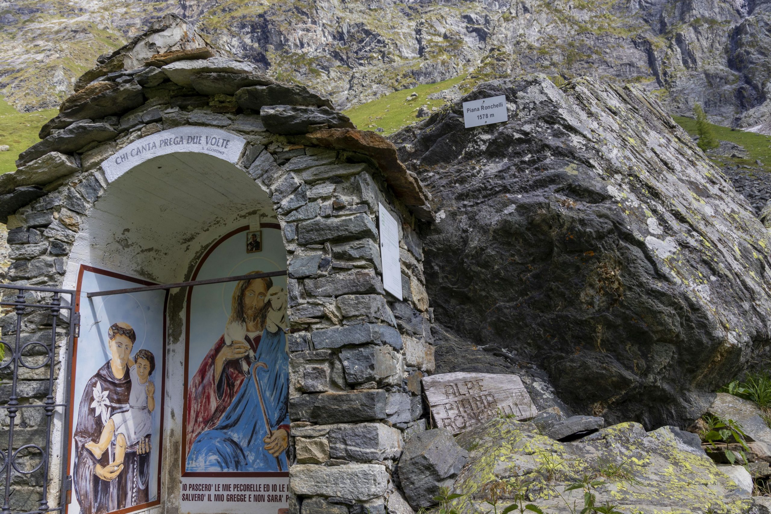
The route then leads to the nearby Bognanco Valley, where it splits. At this point, it is possible to choose whether to follow the main route that crosses the mid-low Antrona, Anzasca, and Sesia Valleys or to take the more challenging variant that crosses the high mountain stretch and rejoins the main route near Alagna Valsesia. From Alagna, the route leads to Riva Valdobbia and finally to the Biella area, where the central section of the GTA begins.
Info and stops: https://www.piemonteoutdoor.it/it/attivita/escursionismo/grande-traversata-delle-alpi-gta-tratto-nord-piemonte
Back to the list of routes
DIE LANGE ROUTE DES GTA IM PIEMONTE, MIT MEHR ALS 1000 KM
GRANDE TRAVERSATA DELLE ALPI – GTA: ABSCHNITT NORD-PIEMONT
Alpi Veglia-Devero
Route description
Die lange Strecke des GTA im Piemont, die mehr als 1000 km beträgt, wurde, auch aus praktischen Gründen des Datendownloads und der Verwaltung, in 3 große Abschnitte unterteilt, die den nördlichen, zentralen und südlichen Bereichen der Region entsprechen. Der nördliche Teil beginnt in Cannobio am Lago Maggiore und ist aufgrund der beträchtlichen Vielfalt von großem ökologischen und landschaftlichen Wert. . Die Route führt zunächst nach Norden durch das Schweizer Maggiatal oder, als Variante, entlang des wilden Oberen Isorno-Tals in Richtung Formazza Tal, dem äußersten Rand des Piemonts, eingekeilt zwischen den Schweizer Kantonen Tessin und Wallis. Vom Kehrbäch, dem obersten Punkt im Norden, von dem aus man zu Hügeln in der nahen Schweiz kommt , beginnt der lange Abstieg nach Süden, der zunächst durch die bezaubernden Hochebenen der Veglia- und Devero-Alpen führt, und von wo aus man dann nach Varzo absteigt. Die Route führt dann in das nahegelegene Bognanco-Tal, wo man zwischen zwei Routen wählen kann: Man kann der Hauptroute im unteren und mittleren Antrona-, Anzasca- und Sesia-Tal folgen , oder die anspruchsvollere Route nehmen, die hohe Berggebiete durchquert und sich in Alagna Valsesia mit der Hauptroute vereint. Von Alagna führt die Route in Richtung Riva Valdobbia und schließlich in das Gebiet von Biella, wo der zentrale Abschnitt der GTA beginnt.
Infos und Etappen: https://www.piemonteoutdoor.it/it/attivita/escursionismo/grande-traversata-delle-alpi-gta-tratto-nord-piemonte
Back to the list of routes
LE LONG SENTIER DE LA GTA AU PIÉMONT FAISANT PLUS DE 1000 KM
GRANDE TRAVERSÉE DES ALPES – GTA : TRONÇON NORD PIÉMONT
Alpi Veglia-Devero
Route description
Le long sentier de la GTA du Piémont, qui compte plus de 1 000 km, a été divisé, également pour des raisons pratiques de téléchargement et de gestion des données, en 3 grands tronçons correspondant aux zones nord, centrale et sud de la région.
La partie nord part de Cannobio sur le lac Majeur et se développe à travers une variété considérable de contextes de grande valeur environnementale et paysagère. Nous remontons d’abord vers le nord en passant par la Val Maggia suisse ou, en variante, le long de la sauvage Alta Valle de l’Isorno en direction de la Val Formazza, l’extrême limite du Piémont coincée entre les cantons suisses du Tessin et du Valais. Depuis le hameau Riale, point le plus septentrional d’où partent les liaisons pour les collines de la Suisse voisine, commence la longue descente vers le sud, en passant d’abord par les plateaux enchanteurs des Alpes Veglia et Devero pour descendre jusqu’à Varzo. Vous parvenez ensuite à la Val Bognanco toute proche où l’itinéraire se divise et vous pouvez choisir soit de suivre le sentier principal qu’il reste des vallées basses et moyennes d’Antrona, Anzasca et Sesia ou de prendre la variante plus difficile qui traverse les zones de haute montagne et rejoint l’itinéraire principal à Alagna Valsesia. Depuis Alagna, l’itinéraire vous emmène à Riva Valdobbia pour enfin traverser la région de Biella où commence le tronçon central de la GTA.
Infos et étapes : https://www.piemonteoutdoor.it/it/attivita/escursionismo/grande-traversata-delle-alpi-gta-tratto-nord-piemonte
Back to the list of routes
Il lungo tracciato della GTA in Piemonte che ammonta a più di 1000 km
GRANDE TRAVERSATA DELLE ALPI – GTA: TRATTO NORD PIEMONTE
Alpi Veglia-Devero
Route description
Il lungo tracciato della GTA in Piemonte che ammonta a più di 1000 km è stato diviso, anche per ragioni pratiche di scarico e gestione dei dati, in 3 grandi tratti corrispondenti alle aree nord, centro e sud della Regione. La parte nord prende avvio da Cannobio sul Lago Maggiore e si sviluppa attraverso una notevole varietà di contesti di grandissimo valore ambientale e paesaggistico. Si risale dapprima verso nord attraverso la Val Maggia svizzera o, in variante, lungo la selvaggia Alta Valle dell’Isorno puntando verso la Val Formazza, estremo lembo del Piemonte incuneato tra i Cantoni svizzeri del Ticino e del Vallese. Dalla Frazione Riale, punto estremo verso nord da cui si dipartono i collegamenti per i colli della vicina svizzera, inizia la lunga discesa verso sud transitando prima di tutto attraverso gli incantevoli altopiani delle Alpi Veglia e Devero fino a scendere a Varzo. Ci si porta quindi nella vicina Val Bognanco dove il tracciato si sdoppia ed è possibile scegliere se seguire il tracciato principale che rimane delle medie e basse valli Antrona, Anzasca e Sesia oppure se percorrere la più impegnativa variante che attraversa zone di alta montagna e si riconnette al tracciato principale presso Alagna Valsesia. Da Alagna il tracciato porta verso Riva Valdobbia ed infine a svalicare nel territorio biellese da cui prende avvio il tratto centrale della GTA.
Info e tappe: https://www.piemonteoutdoor.it/it/attivita/escursionismo/grande-traversata-delle-alpi-gta-tratto-nord-piemonte
Back to the list of routes

