VIA GEOALPINA OF THE VAL GRANDE NATIONAL PARK
VIA GEOALPINA BETWEEN VAL GRANDE AND VALLE STRONA
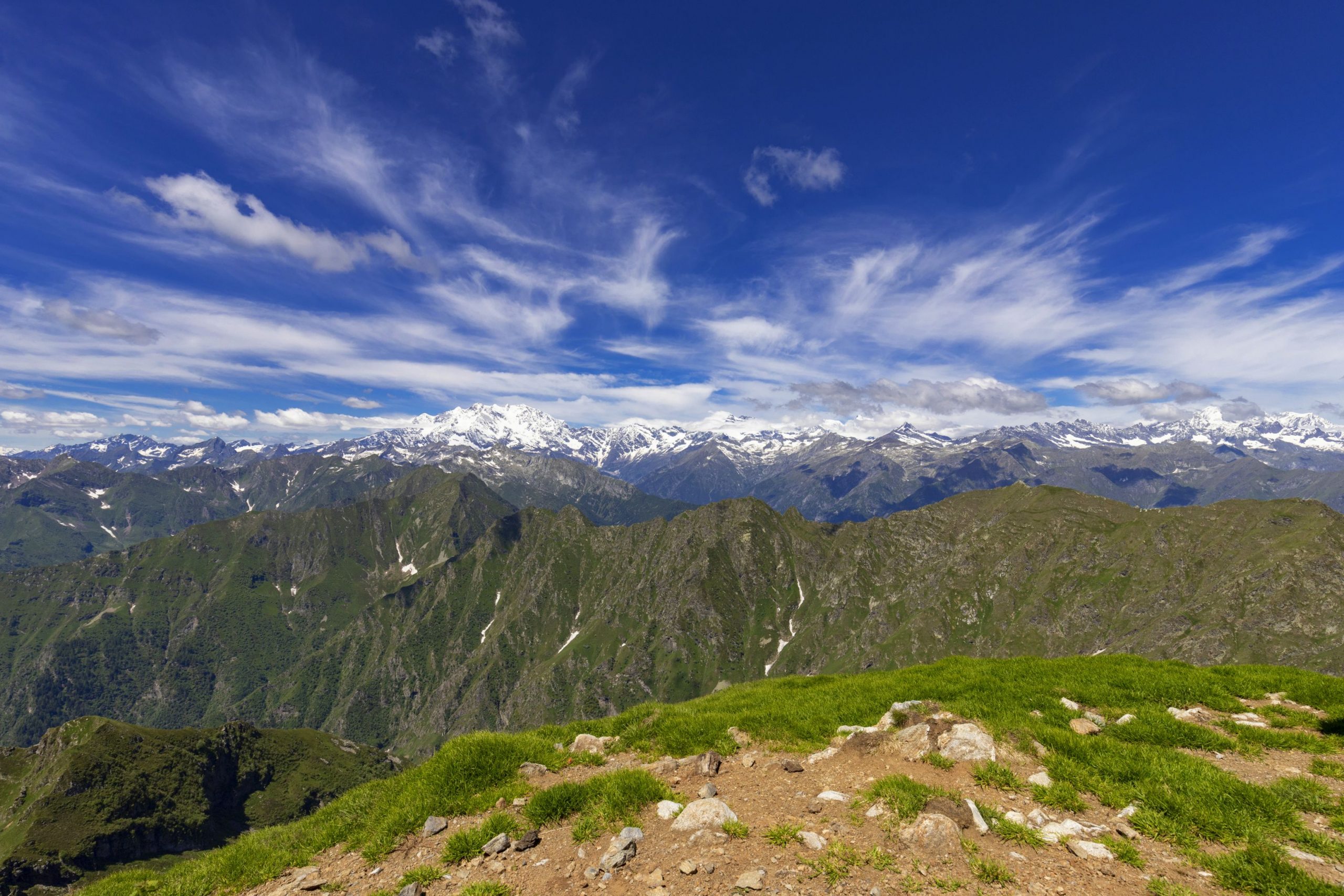
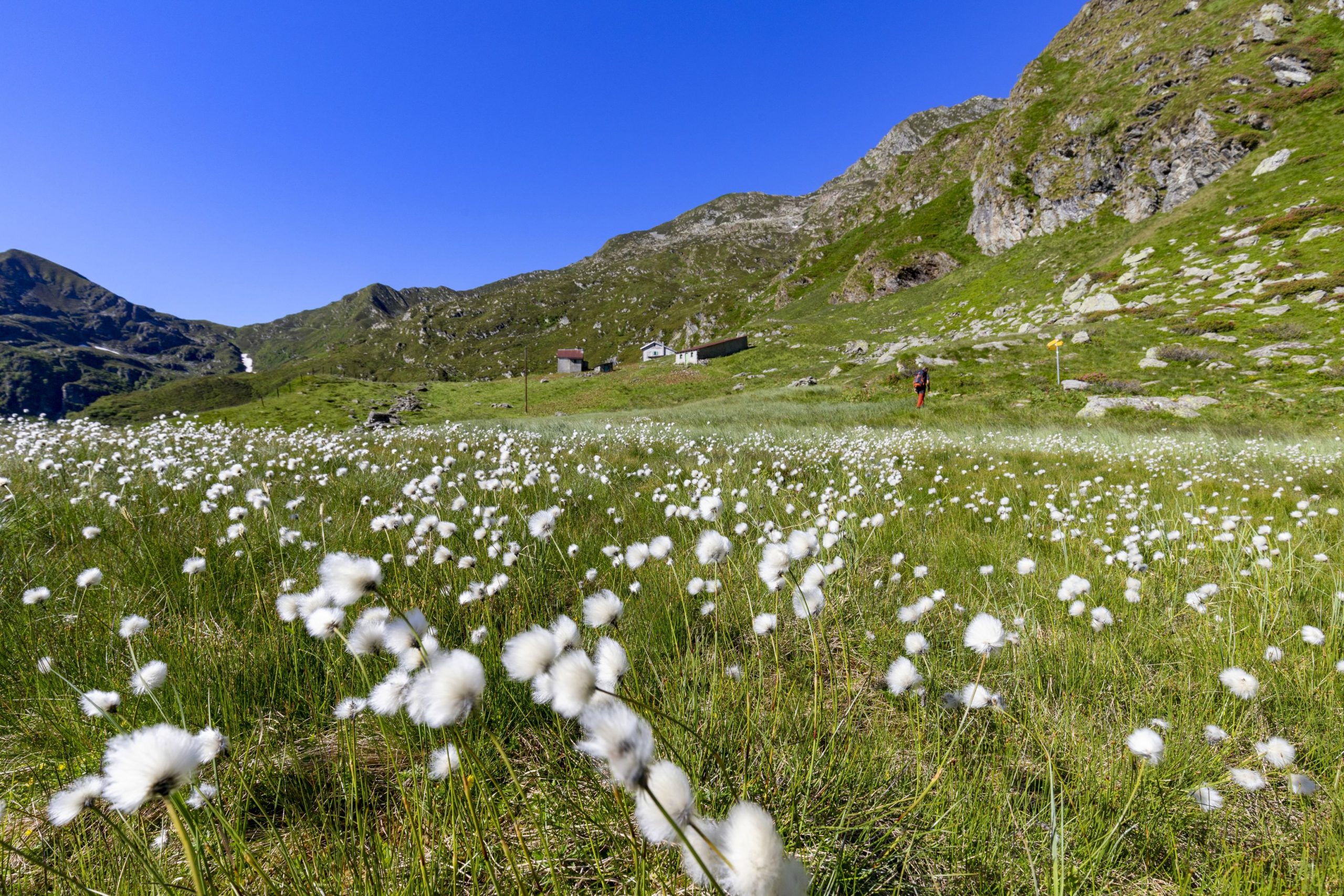
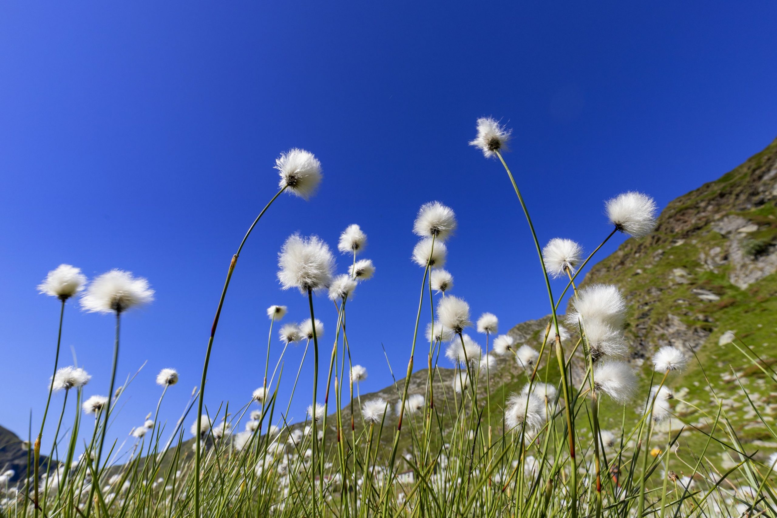
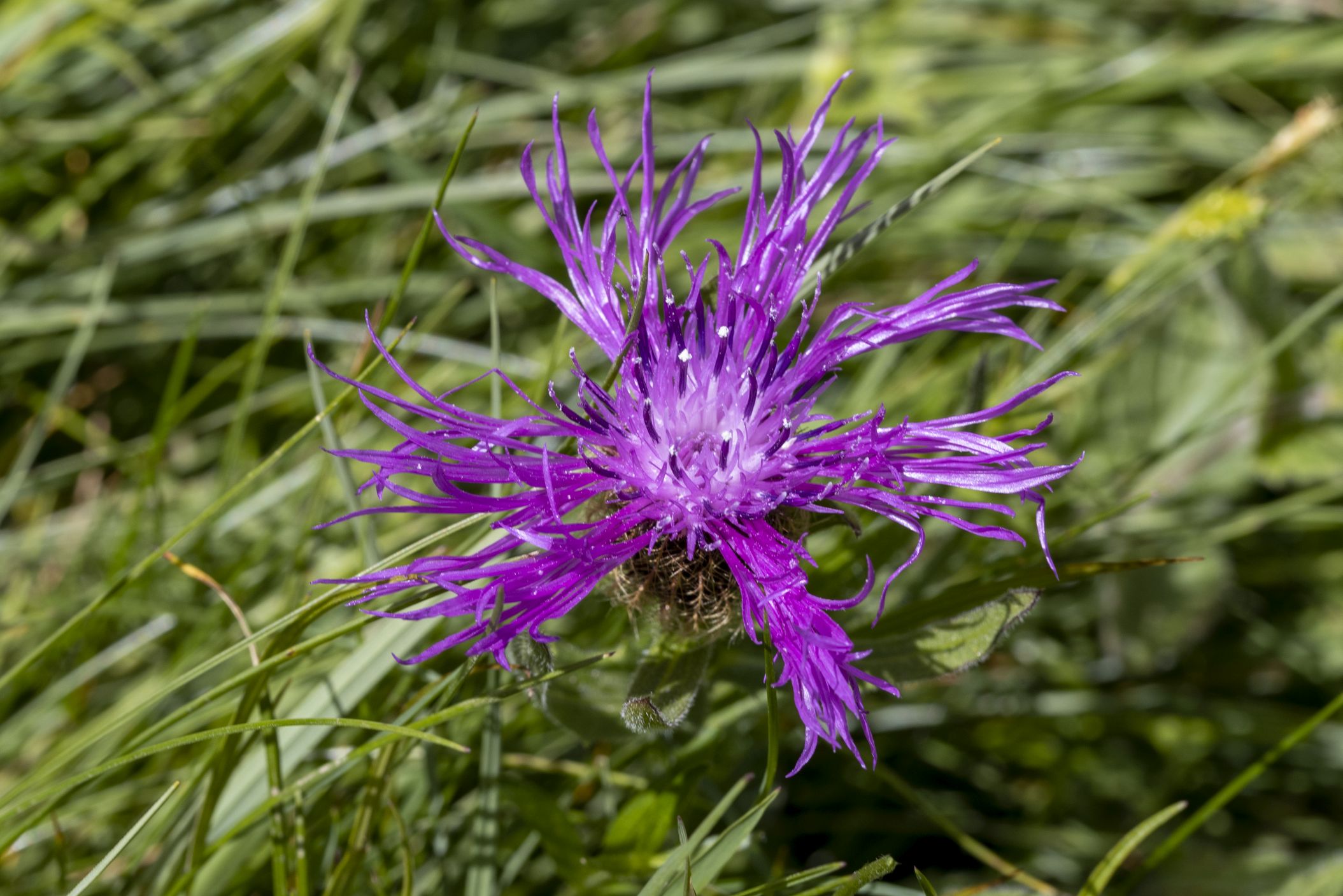
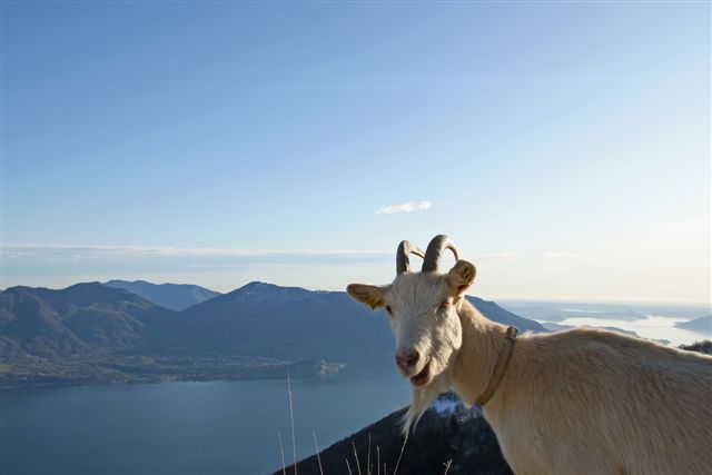
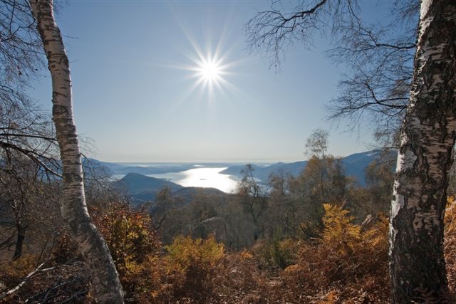
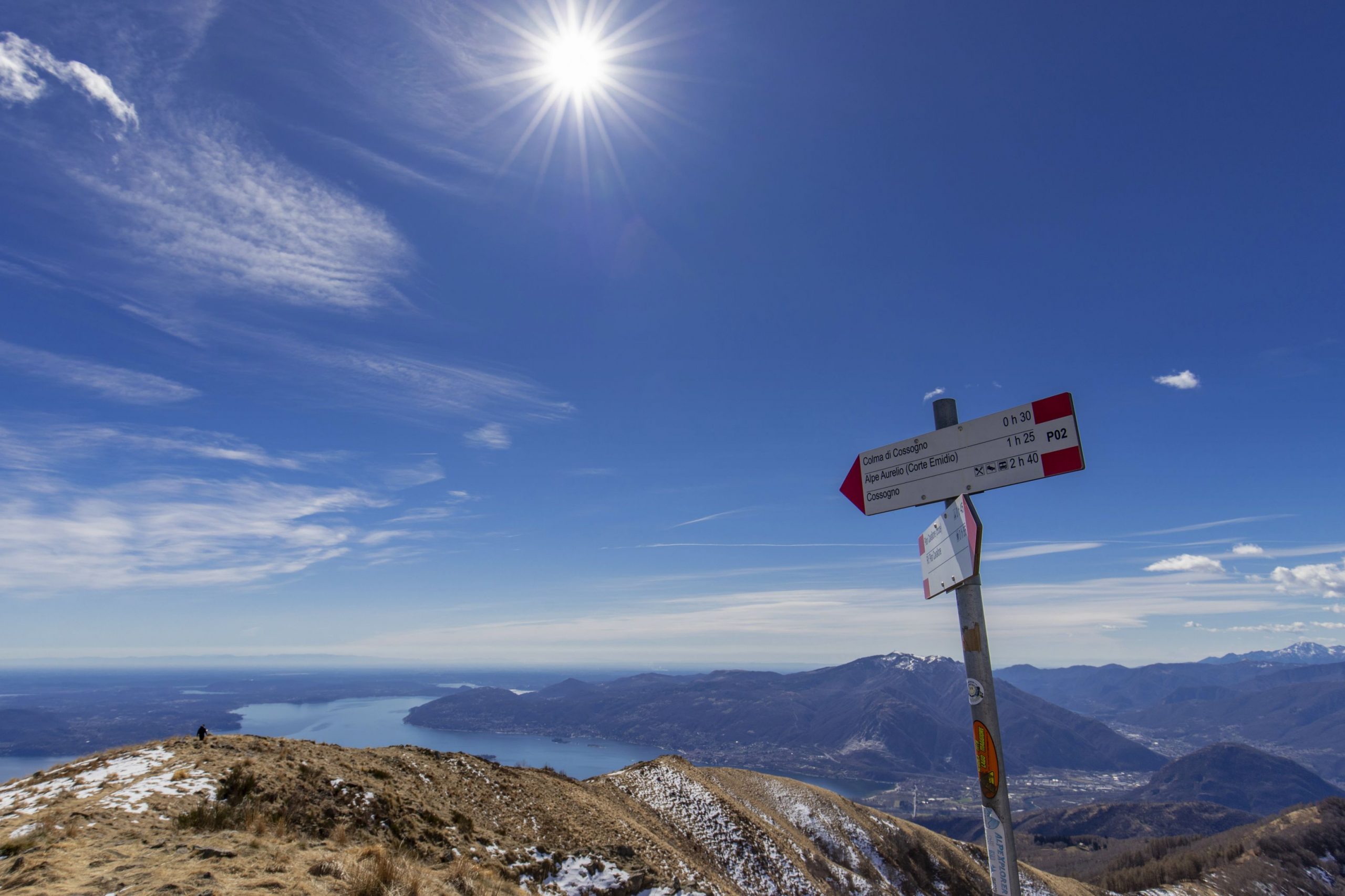
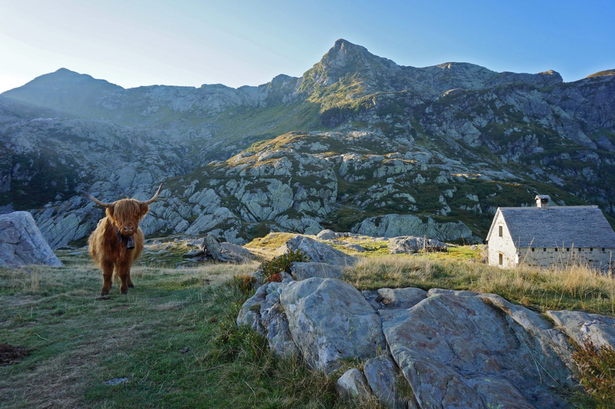
Val Grande
Route description
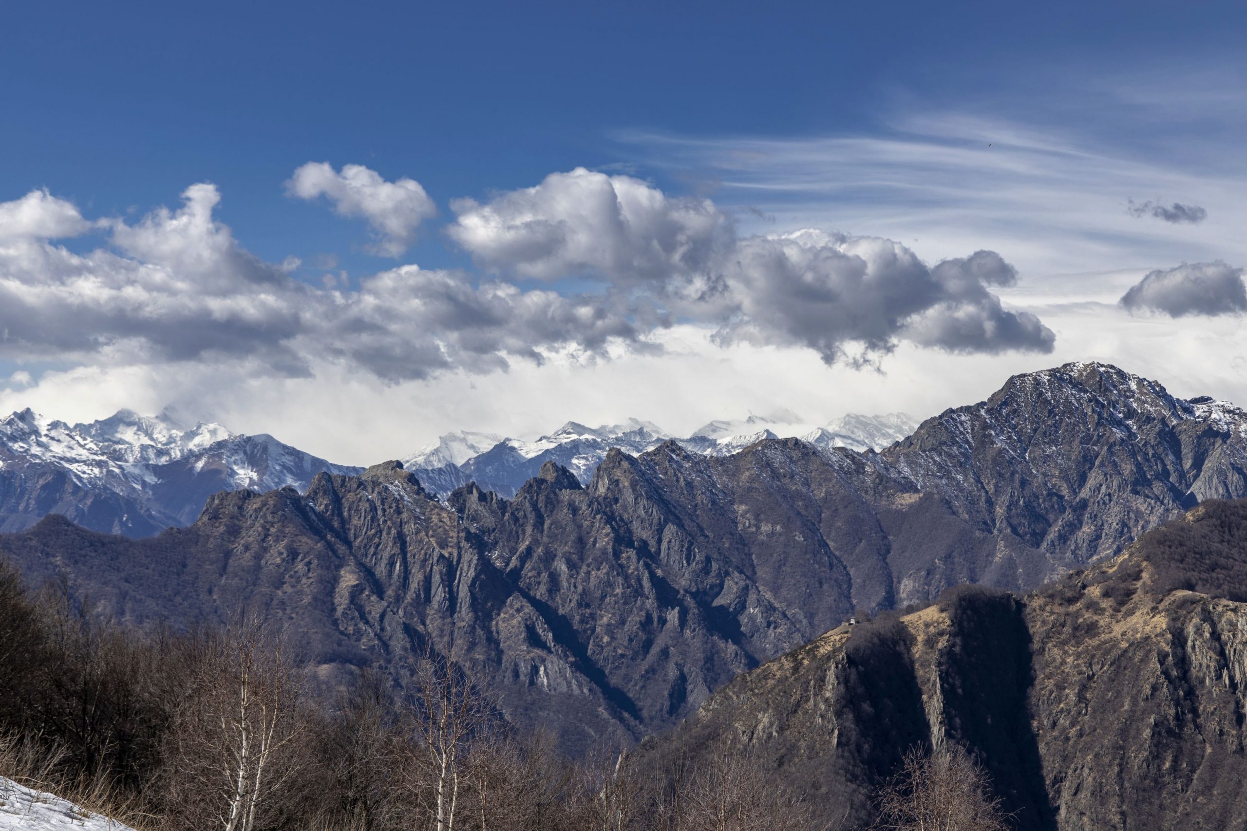
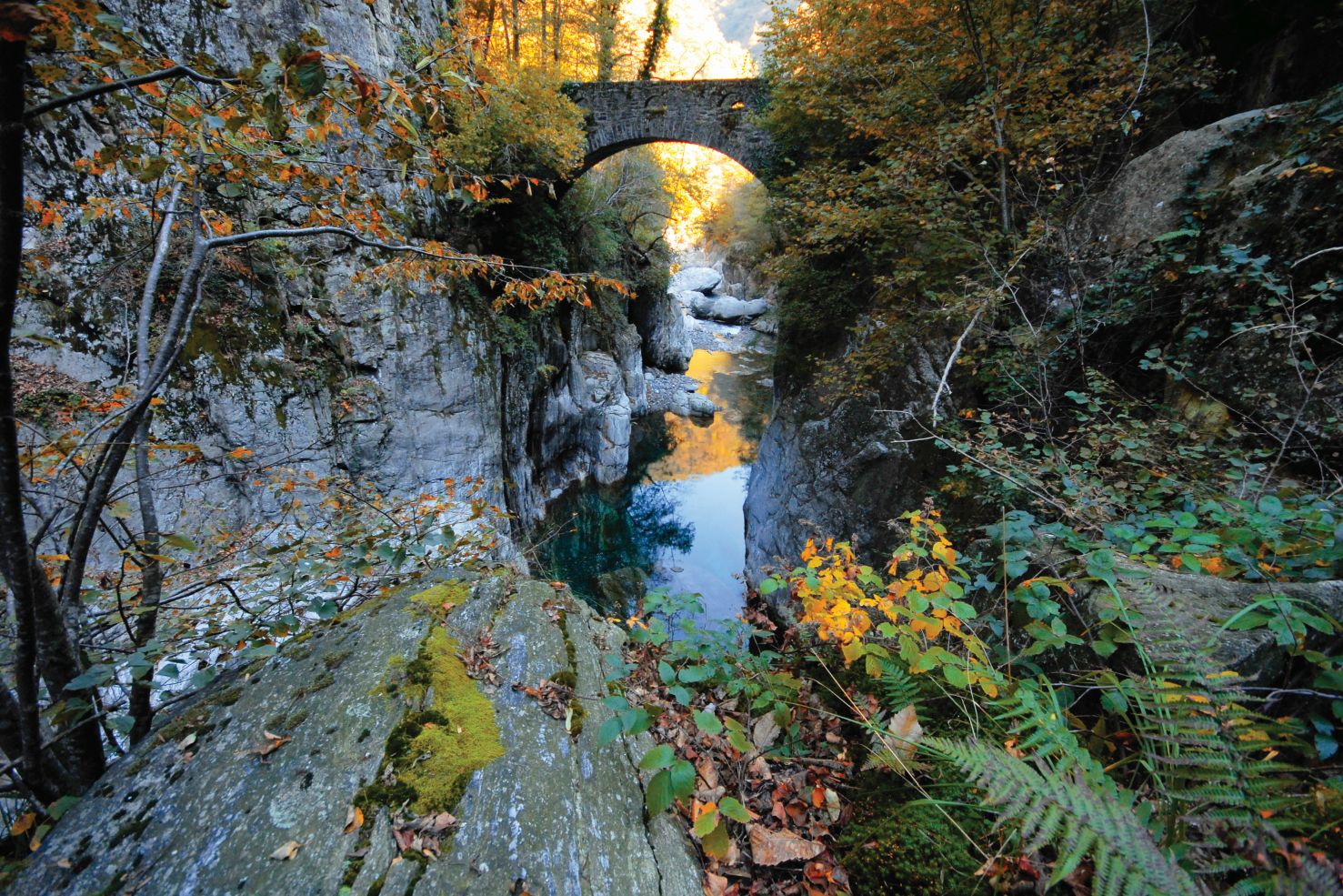
The via Geoalpina [Geoalps trail -ed.] of the Val Grande National Park is part of an international project that wishes to spread knowledge on earth sciences such as geology, geomorphology, hydrology, natural hazards, and mountain exploitation through marked trails that make tourists and hikers aware of the history of the formation of the alpine mountain range and the secrets of the earth.
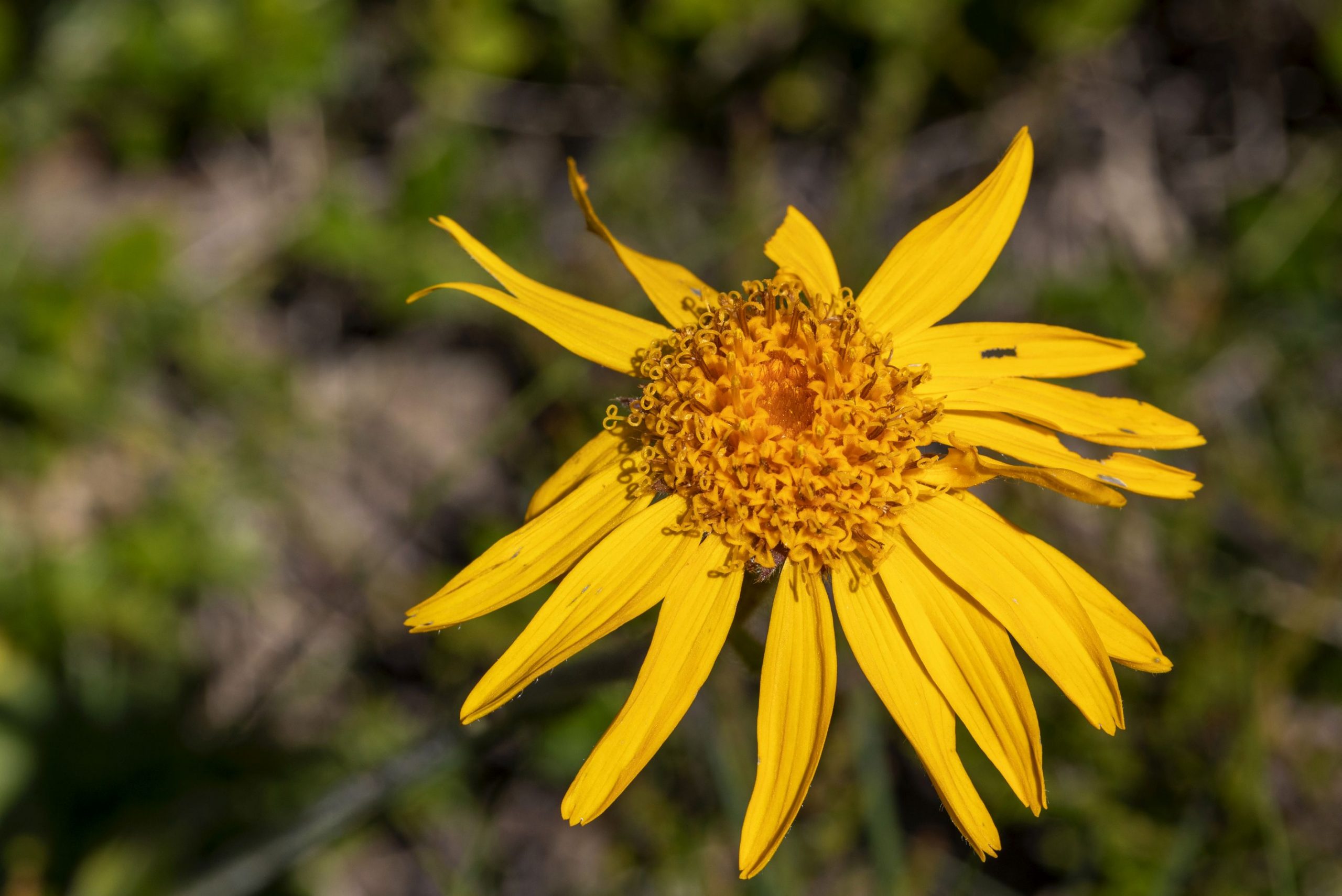
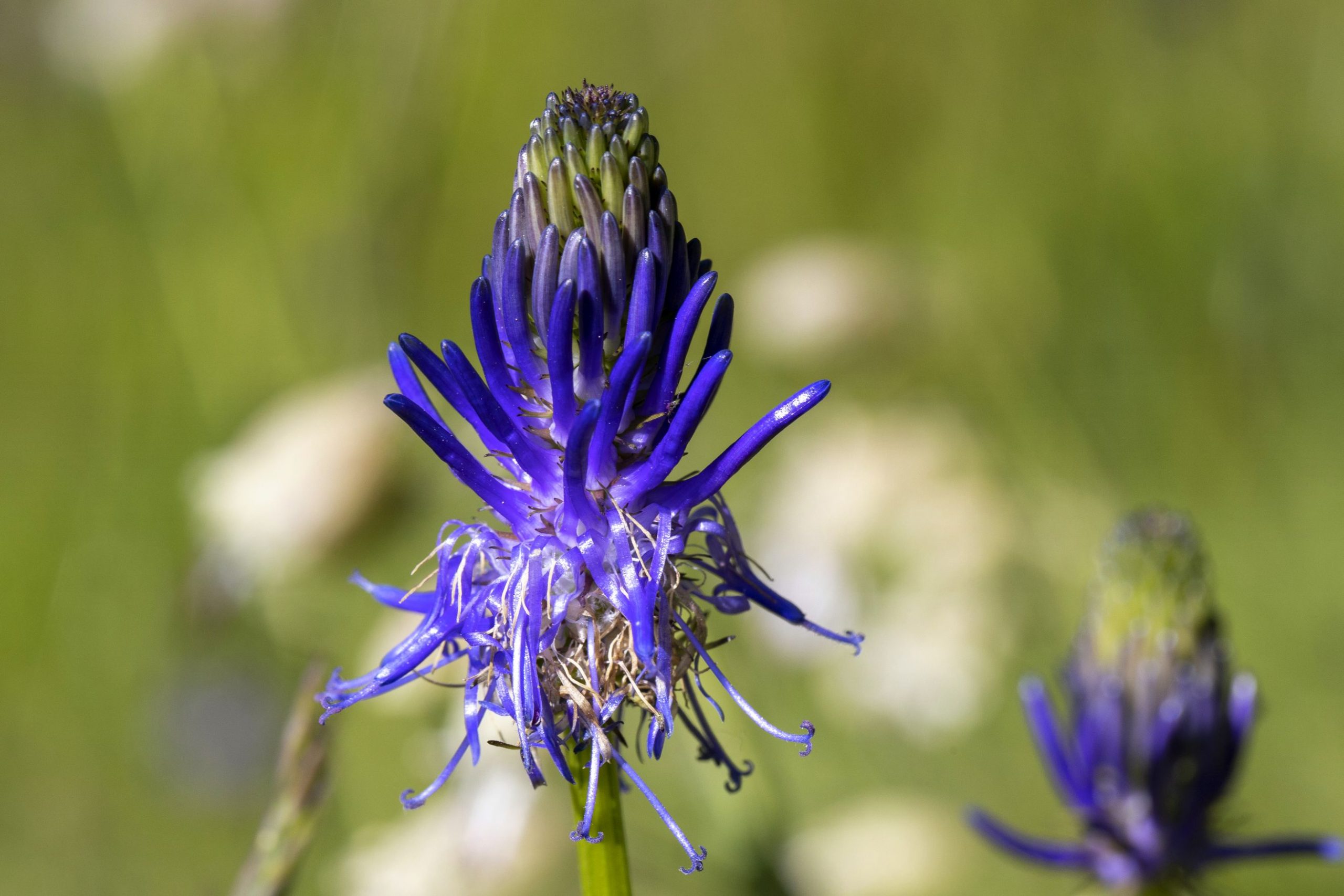
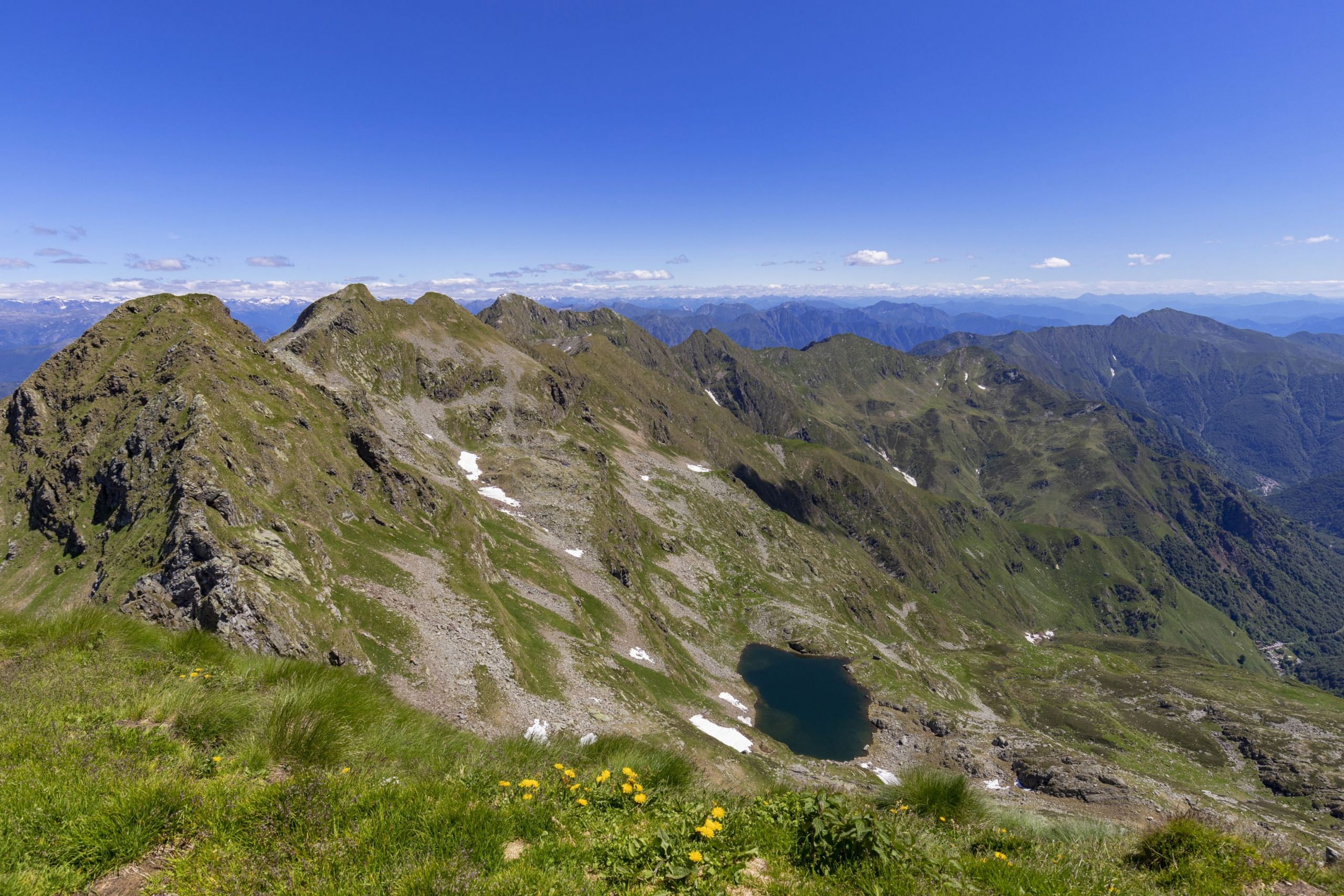
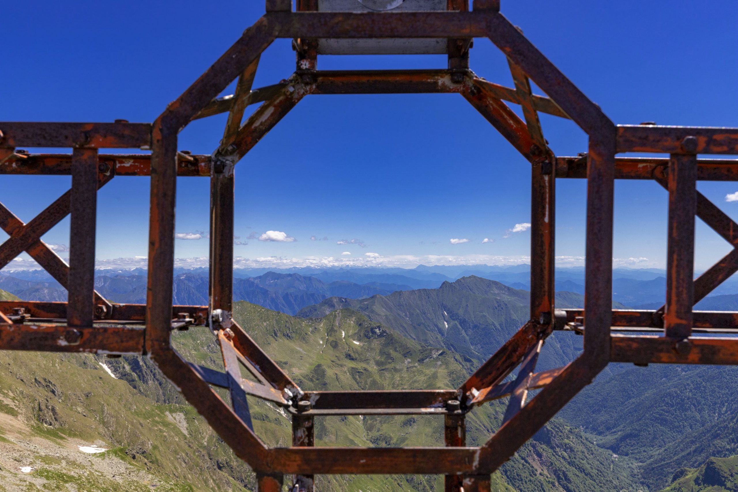
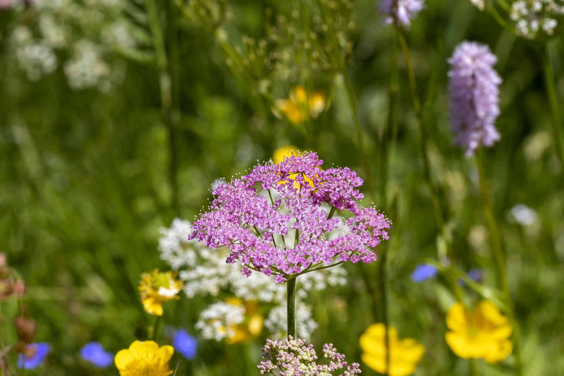
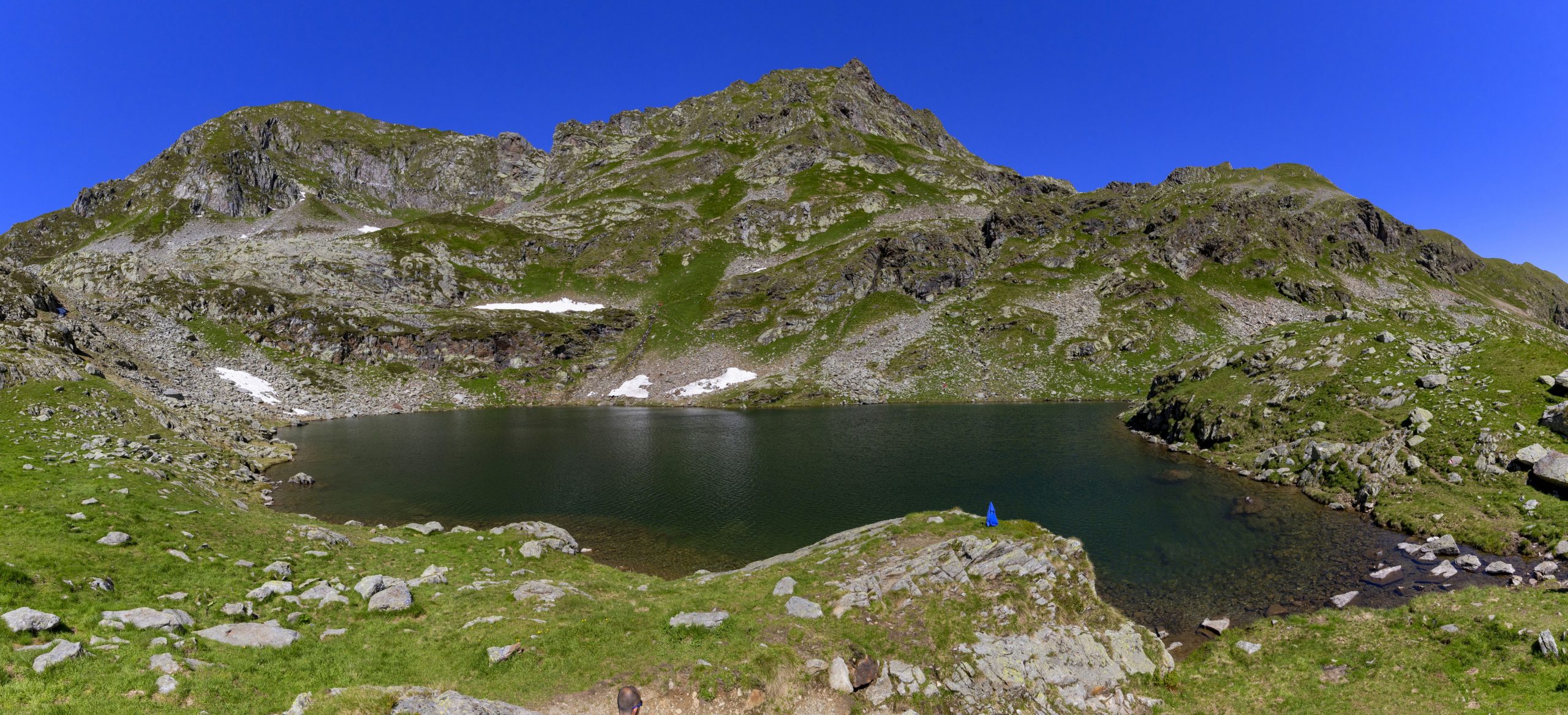
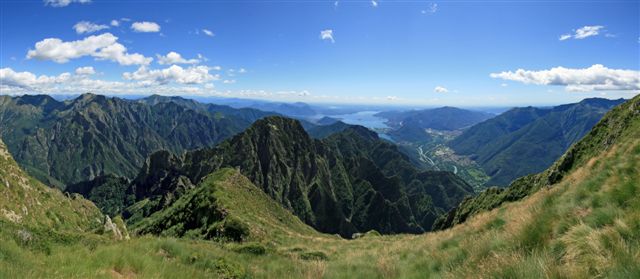
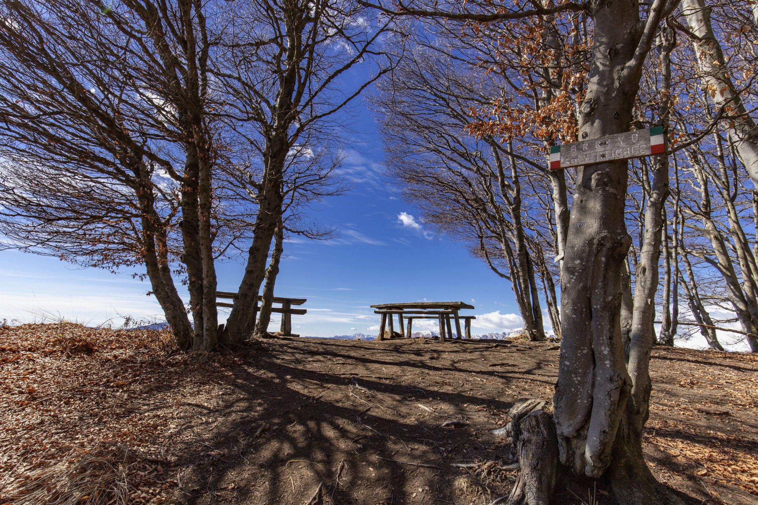
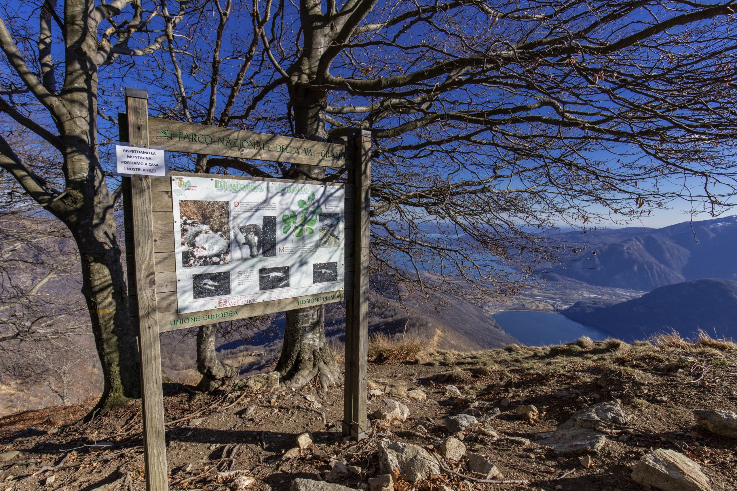
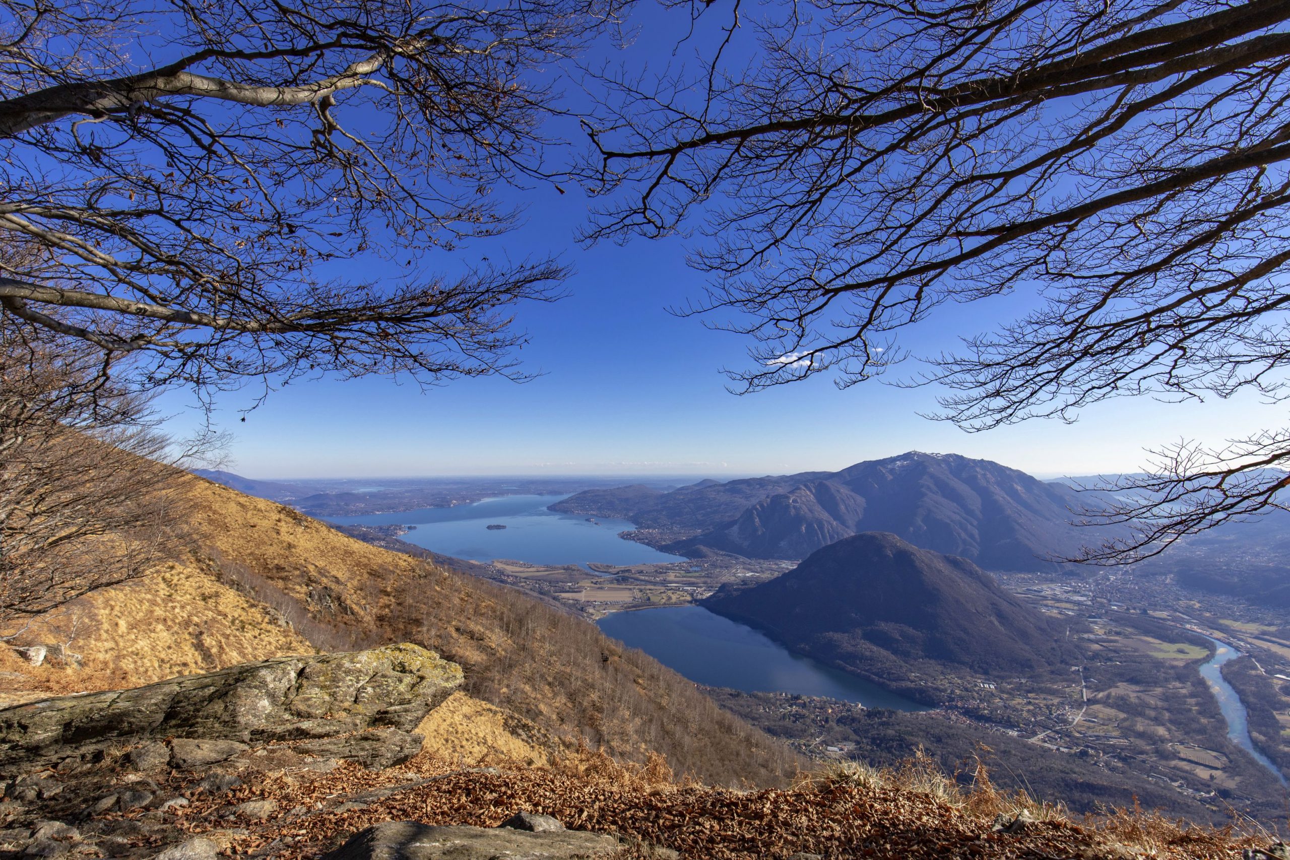
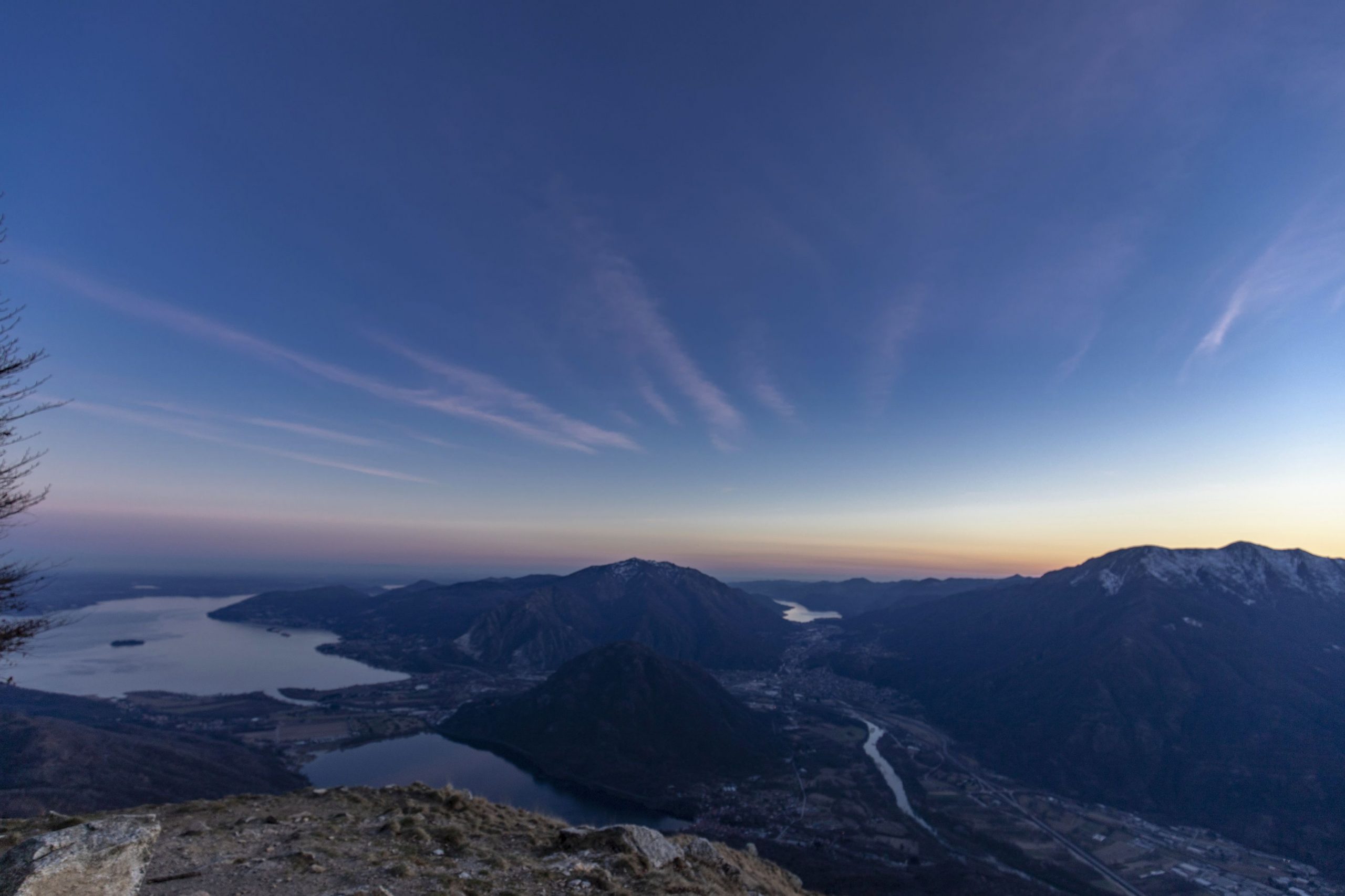
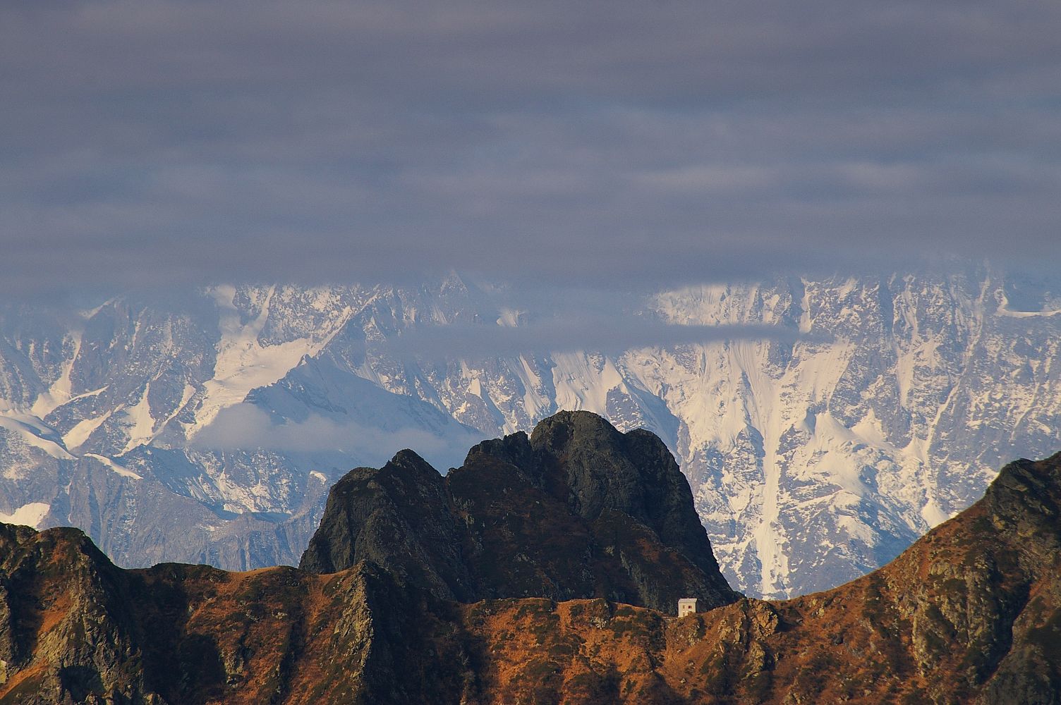
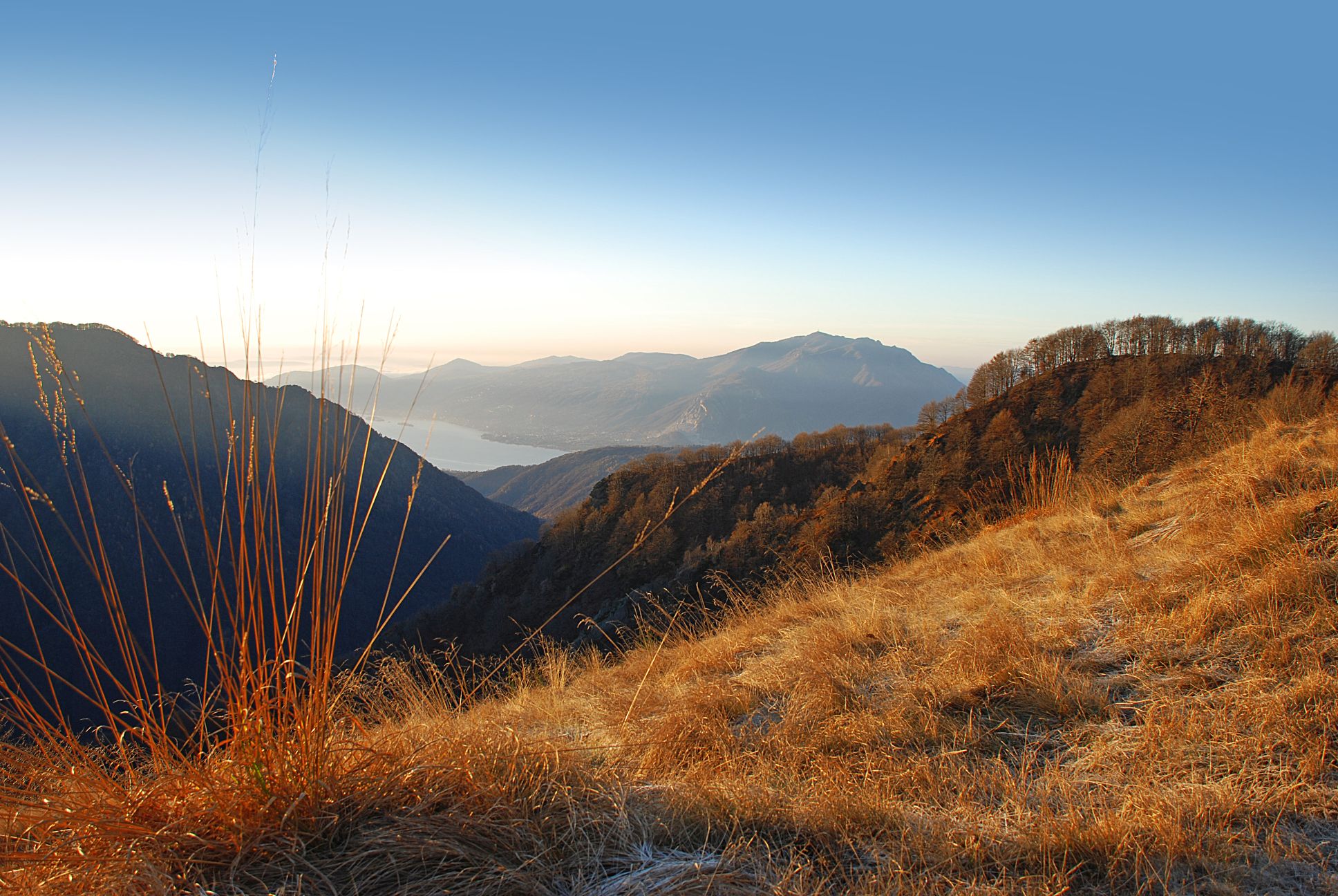
On the one hand, the itinerary strengthens and gives value to the network of historical and environmental routes that are part of the system of excursions in the VCO and upper Novara areas, and, on the other hand, to the north-eastern ridge of the Sesia Val Grande Unesco Global Geopark which is part of the national park and the neighboring areas from the Italian-Swiss border to Campello Monti in the Strona Valley. Walking along Via Geoalpina, besides enjoying an extraordinary variety of landscapes and mountain environments, it will also be possible to explore two important sections of geological interest (equipped with thematic panels) such as the Linea del Pogallo, in the Valley by the same name, and the so-called “Serie dei Laghi” along the ridge of the Linea Cadorna from Pian Cavallo to Zeda.
The itinerary is then connected both in the initial Falmenta-Gurro stretch and in the final Campello-Monti one to the stops of the Great Crossing of the Piedmont Alps and it is, in all respects, a variant of extraordinary interest to reach Lake Maggiore from the Sesia Valley.
Info and stops: https://www.piemonteoutdoor.it/it/attivita/escursionismo/geoalpina
Back to the list of routes
DIE VIA GEOALPINA DES NATIONALPARK VAL GRANDE
VIA GEOALPINA ZWISCHEN VAL GRANDE UND VALLE STRONA
Val Grande
Route description
Die Via Geoalpina des Nationalparks Val Grande ist Teil eines internationalen Projekts, dessen Ziel es ist, Wissen über Geowissenschaften über die Alpen unter geologischen, geomorphologischen, hydrologischen Aspekten sowie im Hinblick auf Naturgefahren und Gesteinsabbau zu verbreiten. Touristen und Wanderer werden auf markierten Routen für die Entstehungsgeschichte der Alpenkette und die Geheimnisse der Erde sensibilisiert.
Die Route verstärkt und wertet einerseits das Netz der historischen und ökologischen Routen auf, die Teil des Wandersystems im VCO und im oberen Novara-Gebiet sind, und andererseits den nordöstlichen Kamm des Valsesia Grande Unesco Global Geopark. Dieser Kamm entstammt dem Nationalparkgebiet und den angrenzenden Gebieten von der italienisch-schweizerischen Grenze bis zum Campello Monti im Strona-Tal. Die Via Geoalpina bietet nicht nur eine außergewöhnliche Vielfalt an Berglandschaften und Gebirgsumgebungen, sondern auch zwei wichtige geologische Abschnitte (gekennzeichnet mit thematischen Tafeln): die Pogallo-Linie, im gleichnamigen Tal, und die sogenannte „Serie dei Laghi“ (zu deutsch Serie der Seen) entlang des Kammes der Cadorna-Linie von Pian Cavallo bis Zeda.
Die Route verbindet dann sowohl den Anfangsabschnitt Falmenta-Gurro als auch das Ziel Campello Monti mit Etappen der Grande Traversata delle Alpi Piemontese — GTA — und kann eine außerordentlich interessante Alternativroute sein, um von Valsesia (oder auf Walserdeutsch Tseschrutol) aus den Lago Maggiore — auch Langensee genannt — zu erreichen.
Infos und Etappen: https://www.piemonteoutdoor.it/de/node/8786
Back to the list of routes
LE SENTIER GÉOALPIN DU PARC DELLA VAL NAZIONALE DE LA VAL GRANDE
SENTIER GÉOALPIN ENTRE LA VAL GRANDE ET LA VALLE STRONA
Val Grande
Route description
Le Sentier Géoalpin du Parc de la Val Nazionale de la Val Grande fait partie d’un projet international dont l’objectif est de diffuser les connaissances sur les sciences de la terre telles que la géologie, la géomorphologie, l’hydrologie, les risques naturels et l’exploitation de la pierre par le biais d’itinéraires balisés qui sensibilisent les touristes et les randonneurs à l’histoire de la formation de la chaîne alpine et aux secrets de la terre.
L’itinéraire renforce et met en valeur, d’une part, le réseau d’itinéraires historiques et environnementaux qui dynamisent l’offre de randonnées dans la région du VCO et du Haut-Novare, et d’autre part, la crête nord-est du Sesia Val Grande Geopark (Géoparc mondial de l’UNESCO) faisant partie du territoire du parc national et des zones voisines, de la frontière italo-suisse jusqu’à Campello Monti dans la vallée Strona. En vous promenant sur le Sentier Géoalpin, vous pourrez non seulement profiter d’une extraordinaire variété de paysages et d’environnements de montagne, mais aussi croiser deux importants tronçons d’intérêt géologique (équipés de panneaux thématiques), celui de la Ligne du Pogallo, dans la vallée homonyme, et celui de la « Serie dei Laghi » (Série des lacs) le long de la crête de la Ligne Cadorna de Pian Cavallo à la Zeda.
L’itinéraire rejoint ensuite à la fois le tronçon initial de Falmenta à Gurro et le point d’arrivée de Campello Monti sur les étapes de la Grande Traversée des Alpes piémontaises, et peut, à tous égards, être une variante extraordinairement intéressante pour parvenir au lac Majeur depuis la Valle Sesia.
Infos et étapes : https://www.piemonteoutdoor.it/it/attivita/escursionismo/geoalpina
Back to the list of routes
La Via Geoalpina del Parco della Val Nazionale della Val Grande
VIA GEOALPINA TRA VAL GRANDE E VALLE STRONA
Val Grande
Route description
La Via Geoalpina del Parco della Val Nazionale della Val Grande si inserisce nel quadro di un progetto internazionale che ha lo scopo è quello di diffondere delle conoscenze sulle scienze riguardanti la terra quali la geologia, la geomorfologia, l’idrologia, i rischi naturali o lo sfruttamento della pietra attraverso percorsi segnalati, che sensibilizzano i turisti e gli escursionisti sulla storia della formazione della catena alpina e sui segreti della terra.
L’itinerario rafforza e valorizza da una parte quella rete di percorsi storici ed ambientali che innervano il sistema della fruizione escursionistica nel comparto del VCO e dell’alto novarese, dall’altra la dorsale nord orientale del Sesia Val Grande Unesco Global Geopark sottesa al territorio del parco nazionale e le aree limitrofe dal confine italo-elvetico a Campello Monti in valle Strona. Percorrendo la Via Geoalpina, oltre a godere di una straordinaria varietà di paesaggi e ambienti montani, si incontrano anche due importanti tratte di interesse geologico (allestite con pannelli tematici) quali la Linea del Pogallo, nella valle omonima, e la cosiddetta “Serie dei Laghi” lungo la dorsale della Linea Cadorna da Pian Cavallo alla Zeda.
L’itinerario si innesta poi sia nel tratto iniziale di Falmenta- Gurro sia nel punto finale di Campello Monti su tappe della Grande Traversata delle Alpi Piemontese e può costituire a tutti gli effetti una variante di straordinario interesse per raggiungere il Lago Maggiore dalla Valle Sesia.
Info e tappe: https://www.piemonteoutdoor.it/it/attivita/escursionismo/geoalpina
Back to the list of routes

