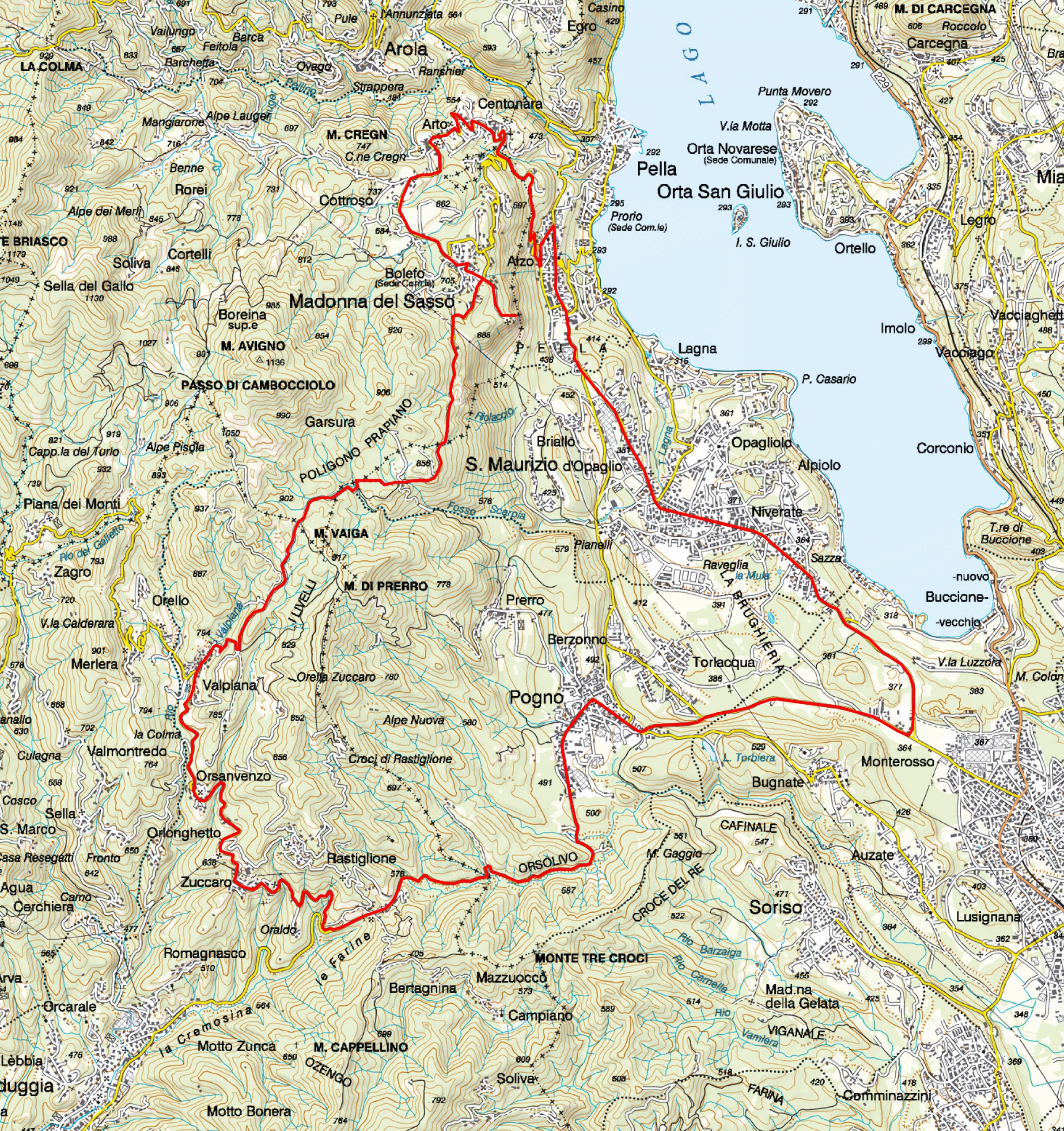
Abfahrt von Pogno und zurück
POGNO–MADONNA DEL SASSO–ALZO-POGNO
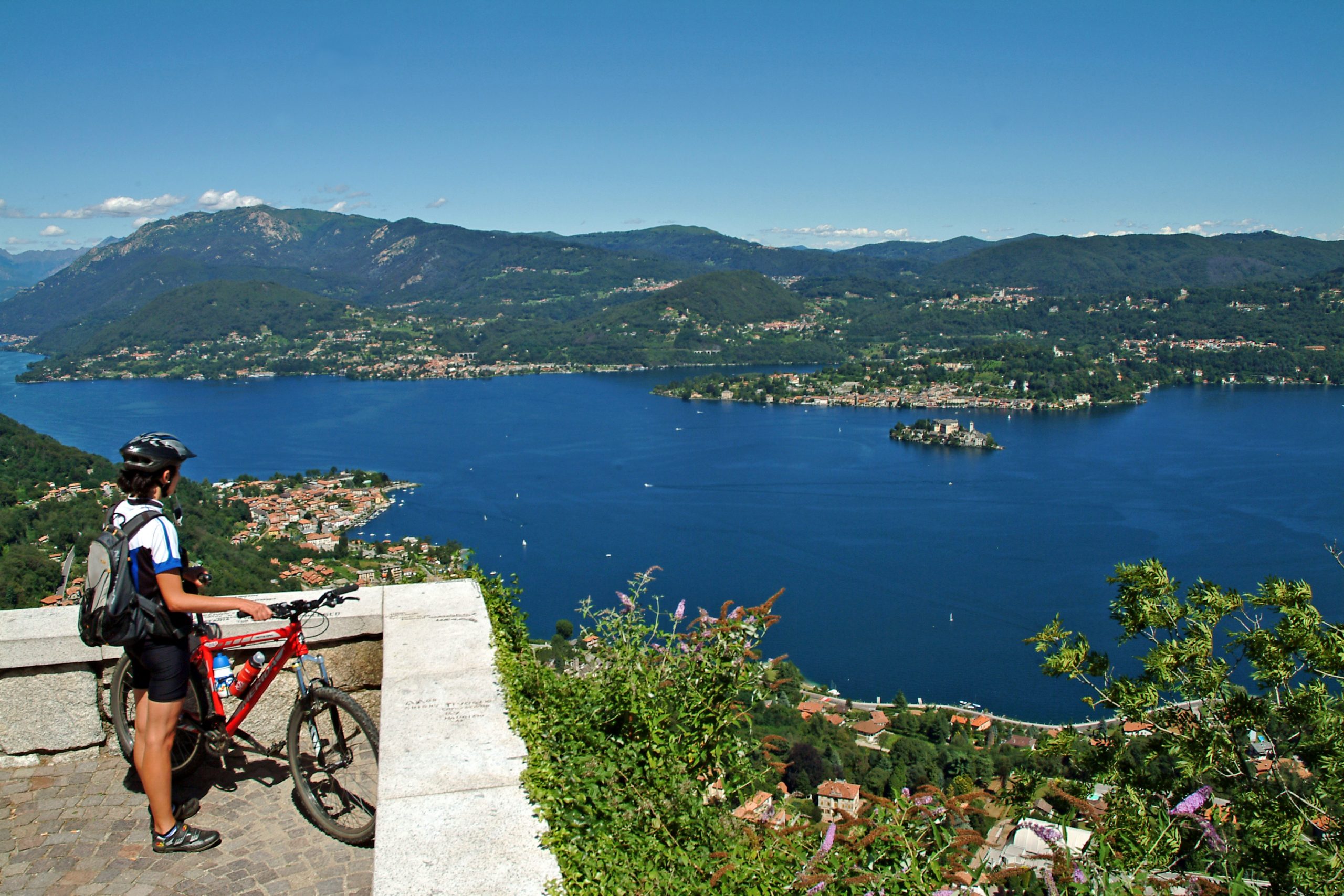
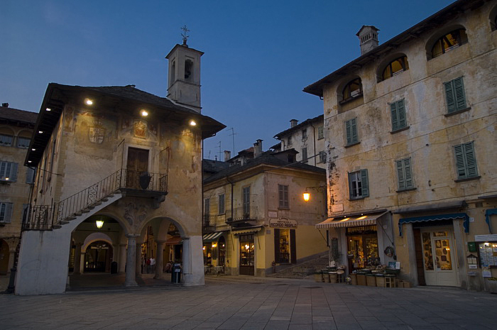
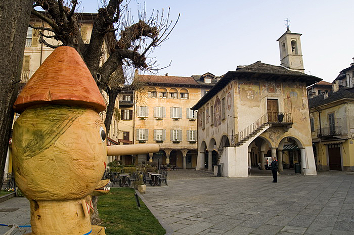
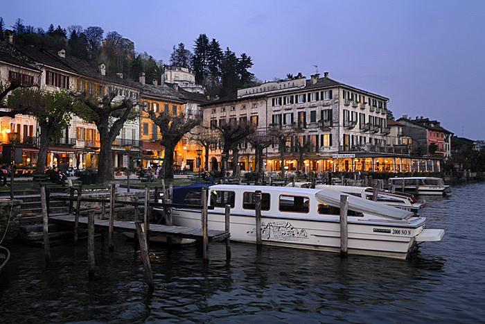
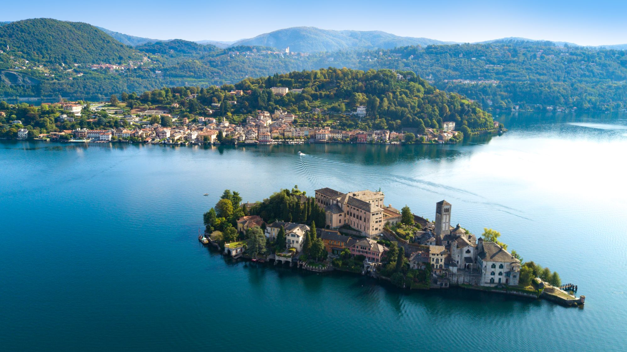
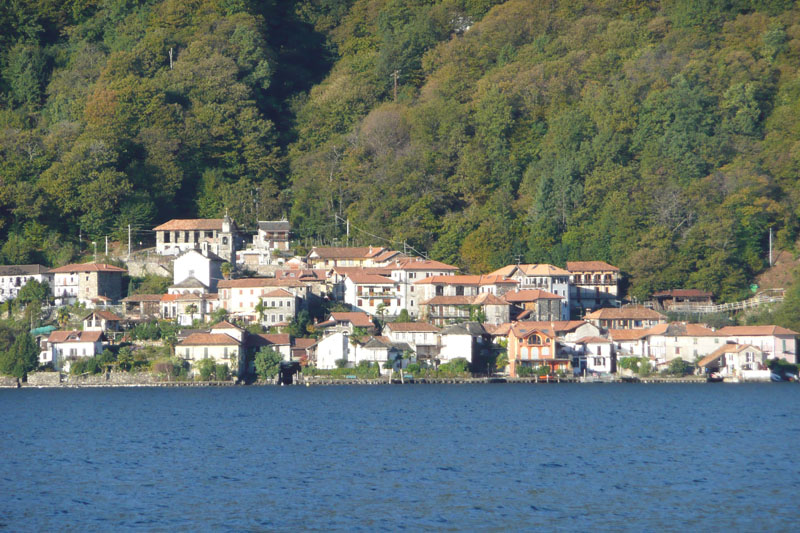
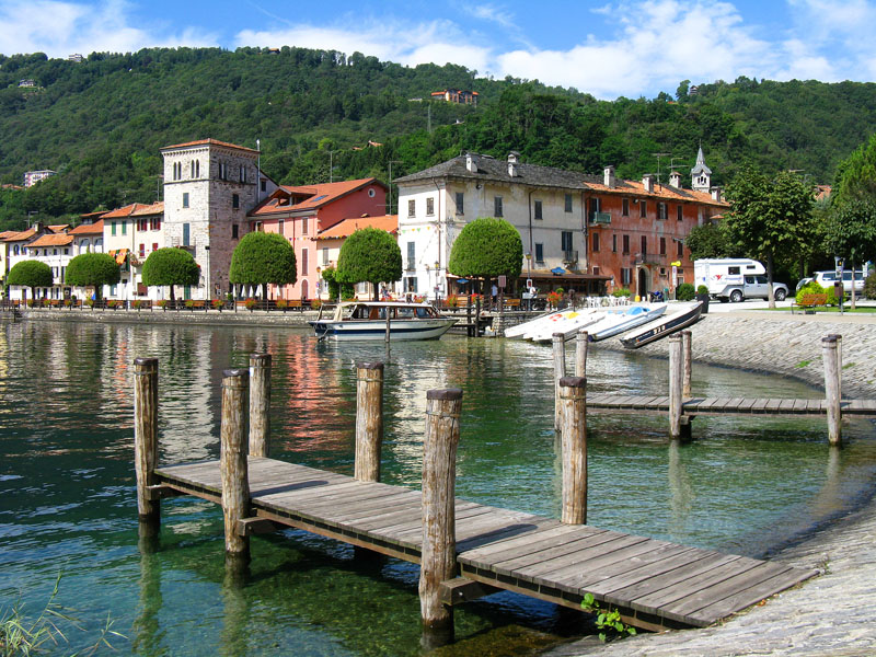
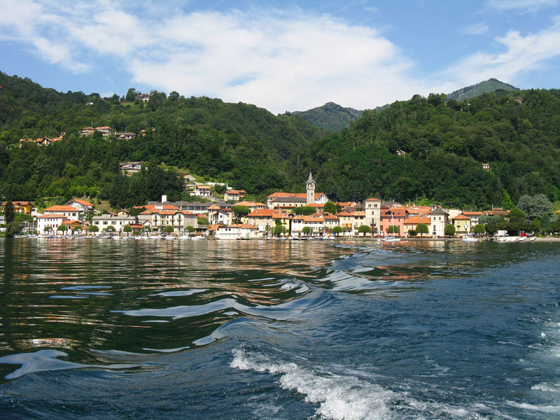
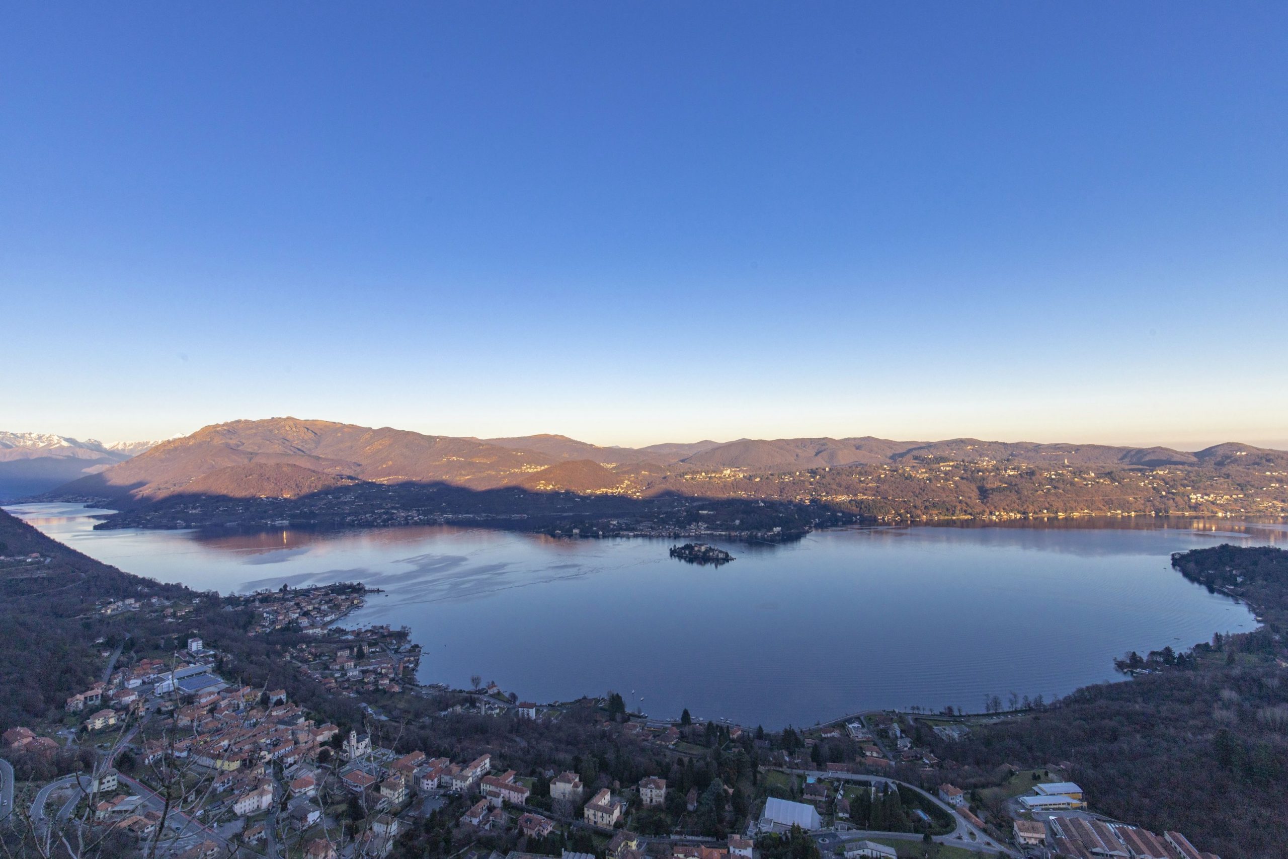
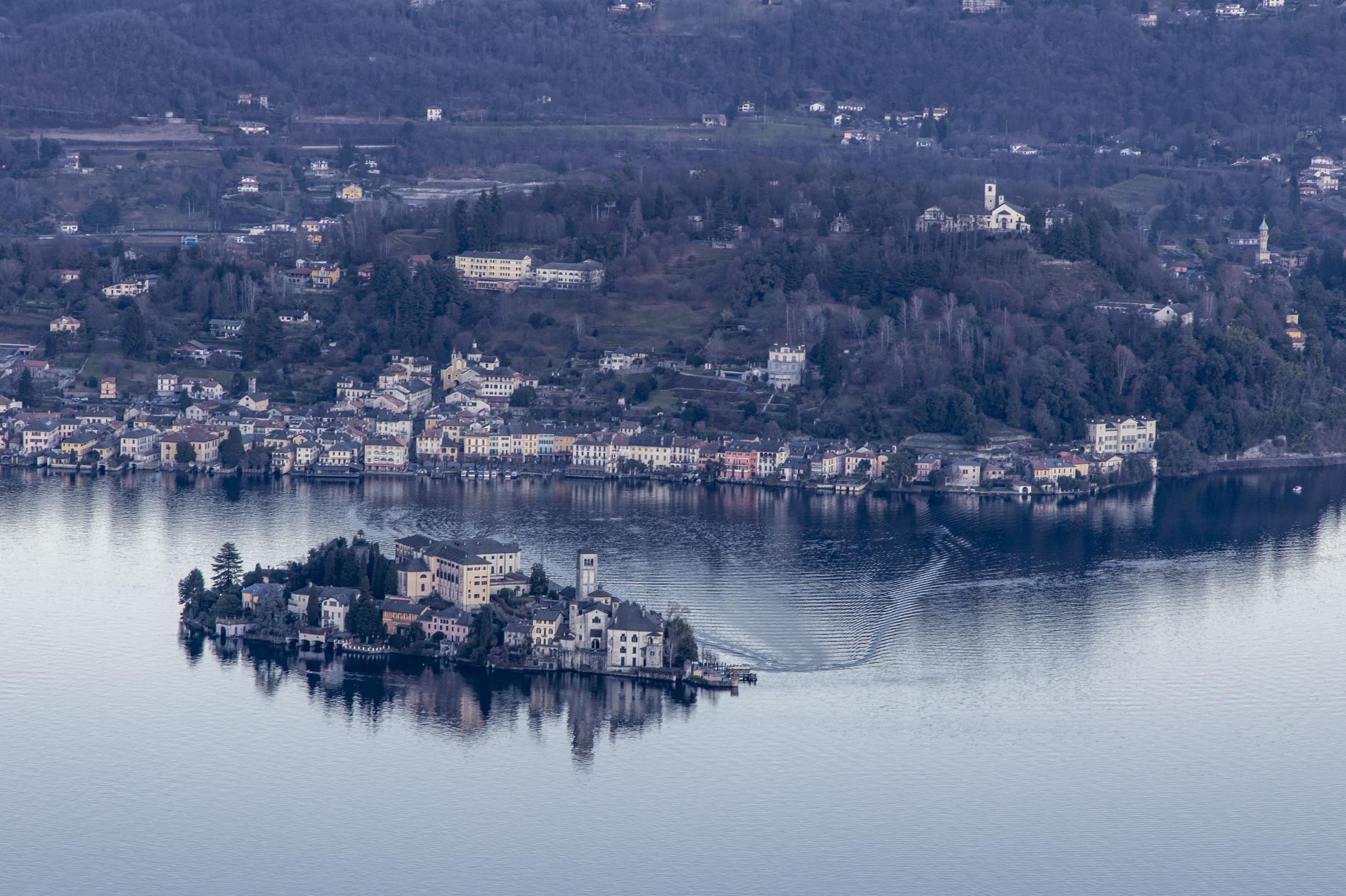
Lago d’Orta
Routenbeschreibung
Mit Abfahrt am Hauptplatz in Pogno, kurz hinter der Pfarrkirche fährt man an der Cremosina-Straße entlang, leicht ansteigend bis zum Tunnel S. Bernardo.
Etwa hundert Meter hinter dem Tunnelausgang biegt man rechts ab und folgt den Wegweisern nach Zuccaro und Valpiana.
Die Straße steigt schnell an: auf der linken Seite stößt man auf die Abzweigung nach Oraldo. Man fährt immer geradeaus weiter bis nach Zuccaro, Ortsteil Valduggia.
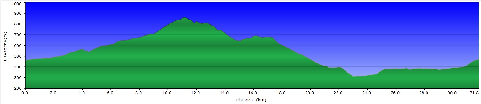
Weiter bergauf kommt man durch die Ortsteile Seula, Orsanvenzo und erreicht schließlich Valpiana. Hier geht es entschieden bergauf in Serpentinen. Man sollte hier vorsichtig fahren, da der Straßenbelag ziemlich schlecht ist. Man fährt weiter durch Buchen- und Birkenwälder, um dann das Gebiet Sabbioni zu durchqueren, wo große weiße Granitblöcke verfallen.
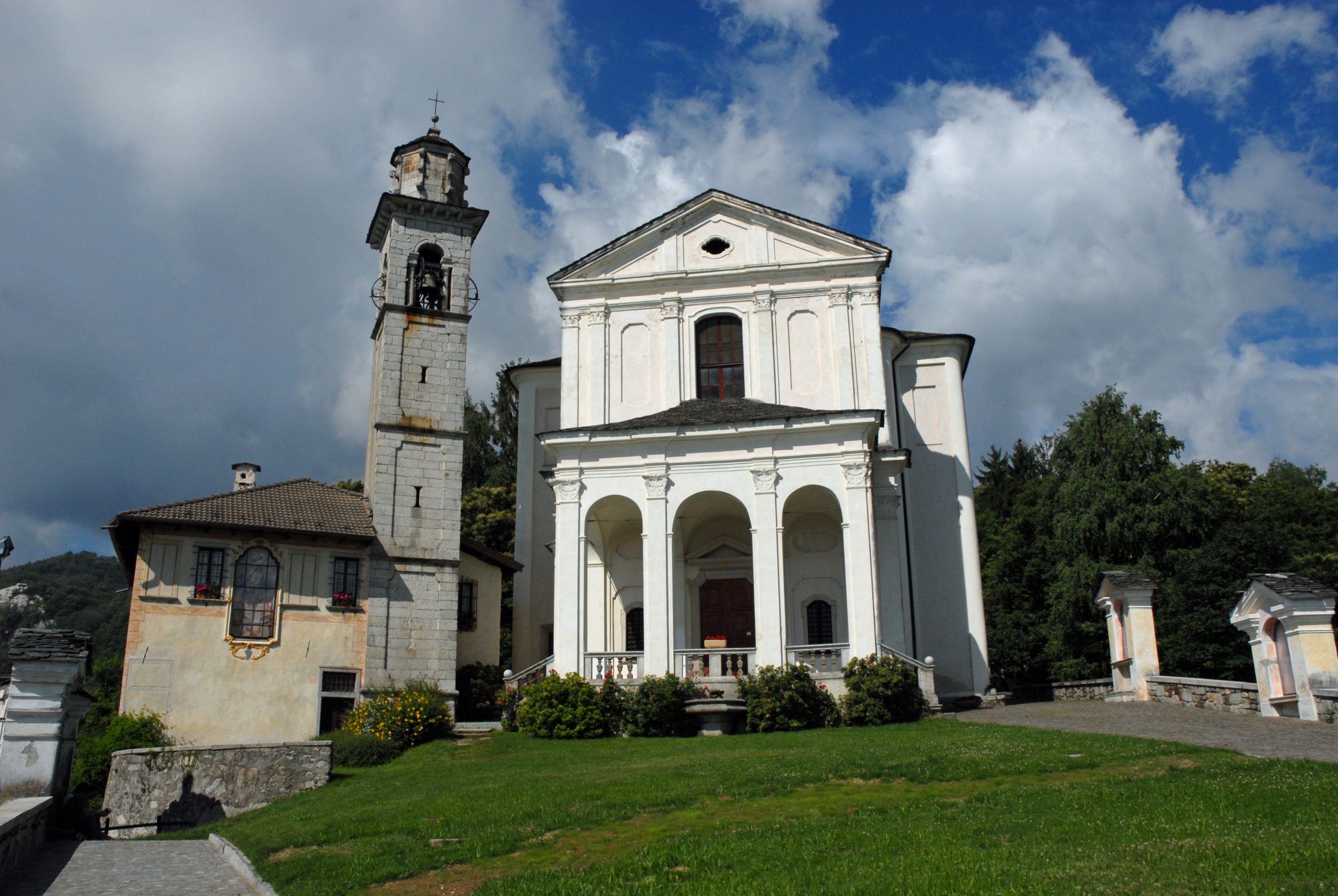
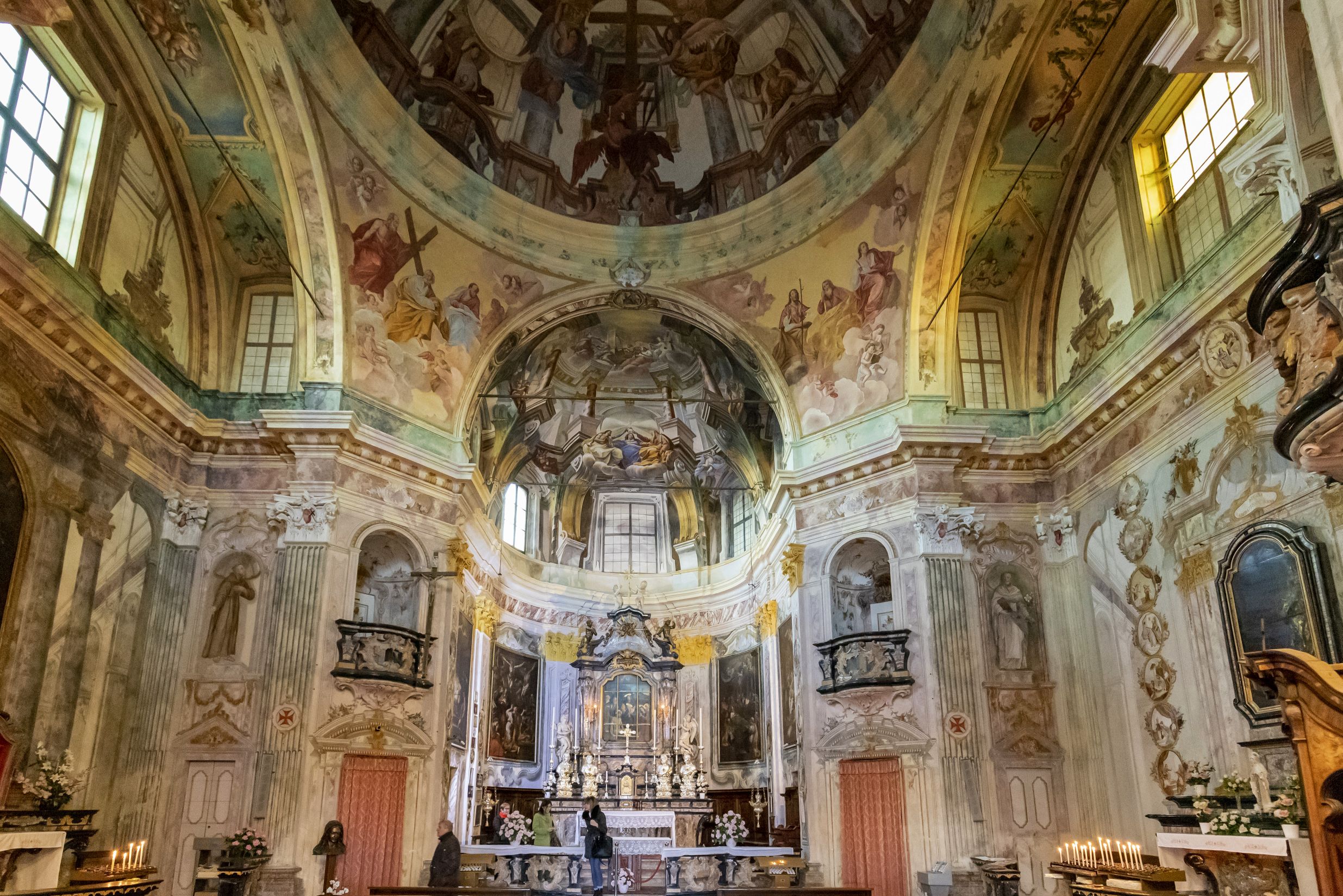
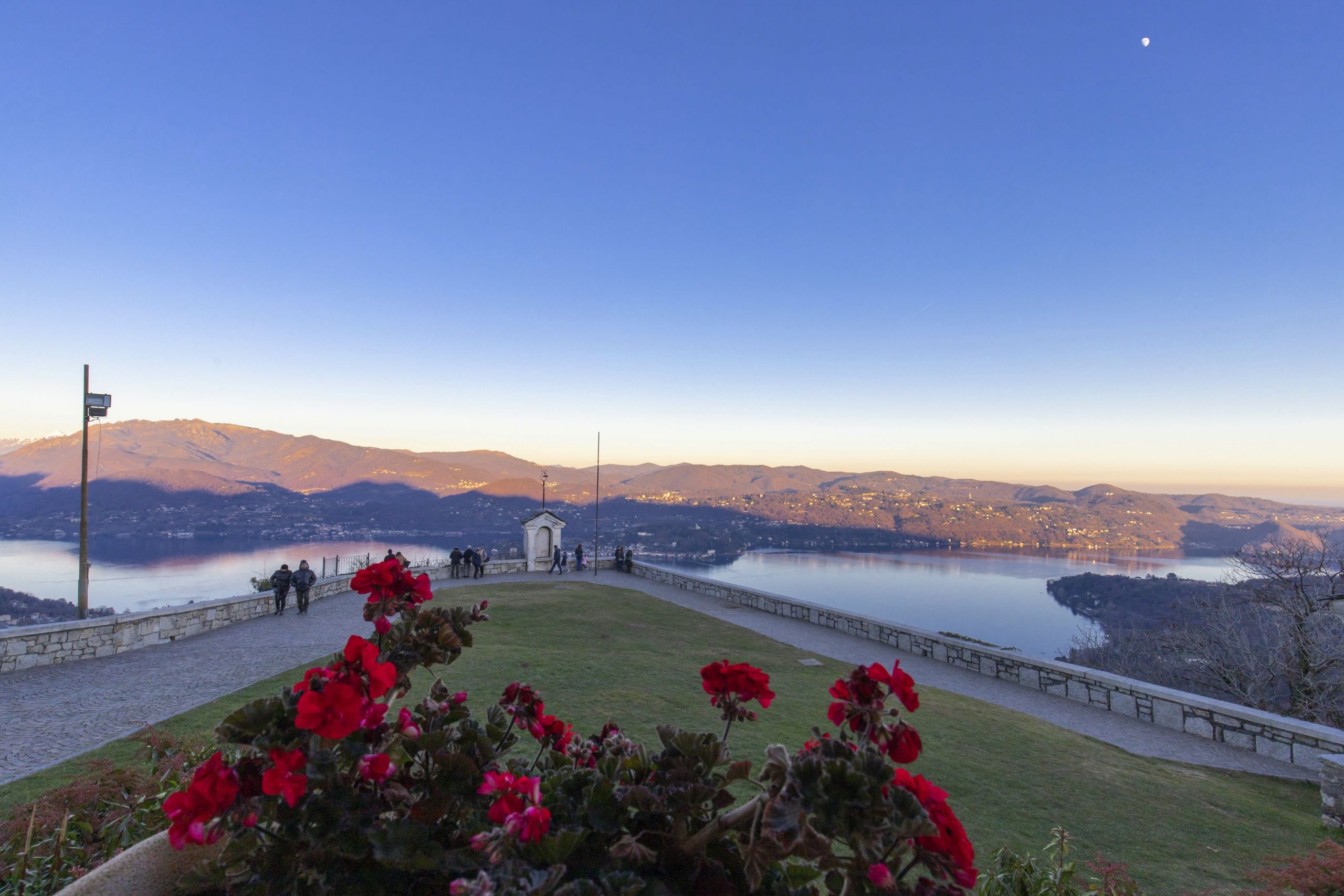
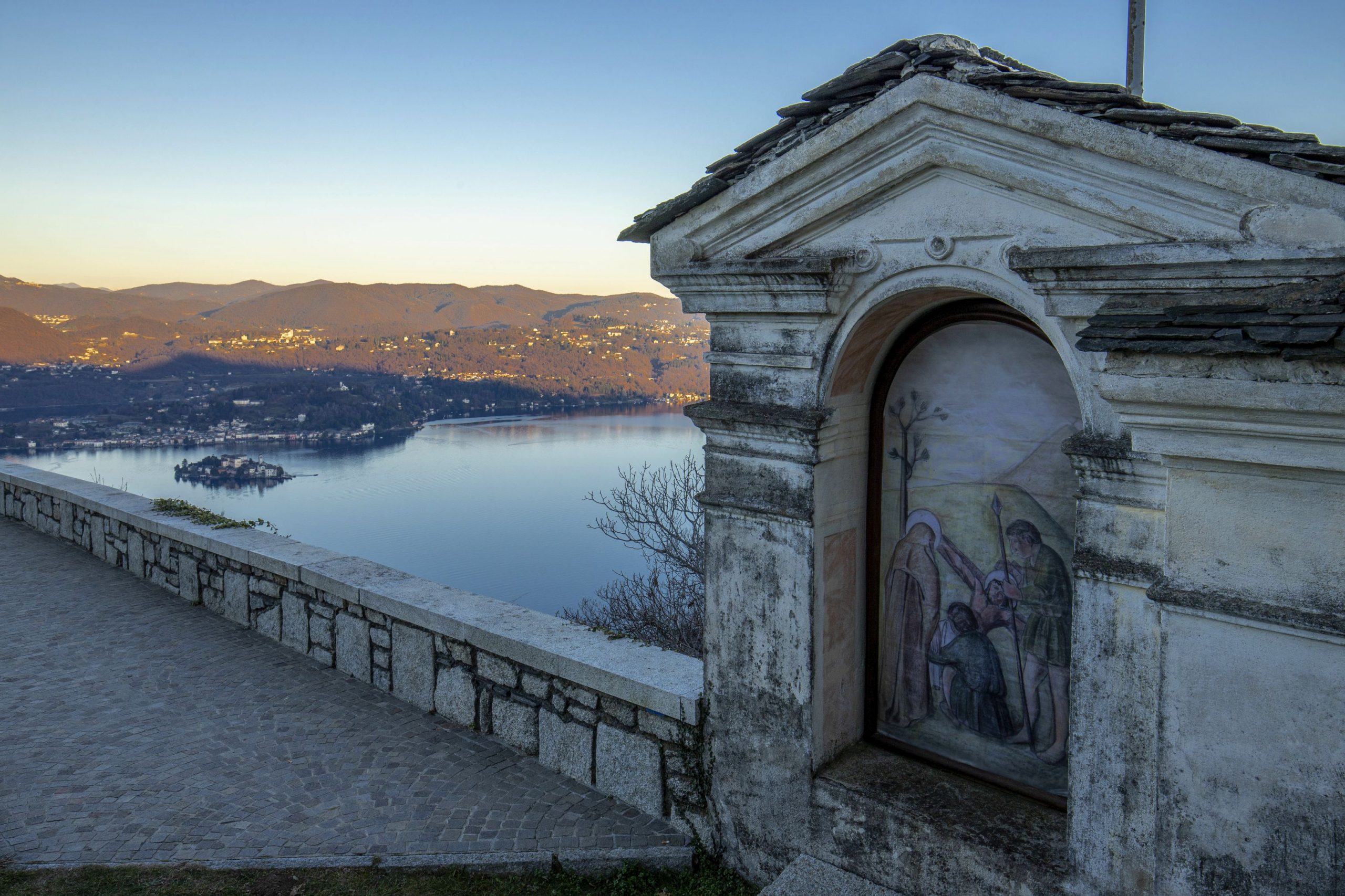
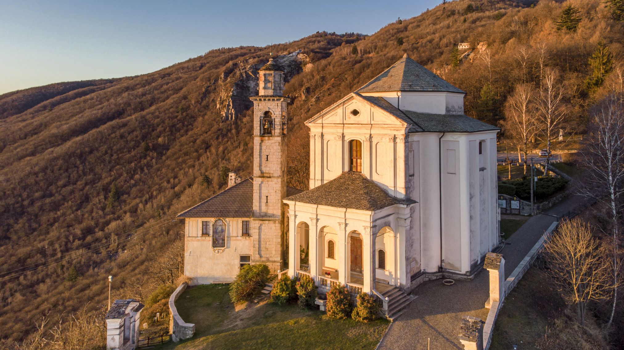
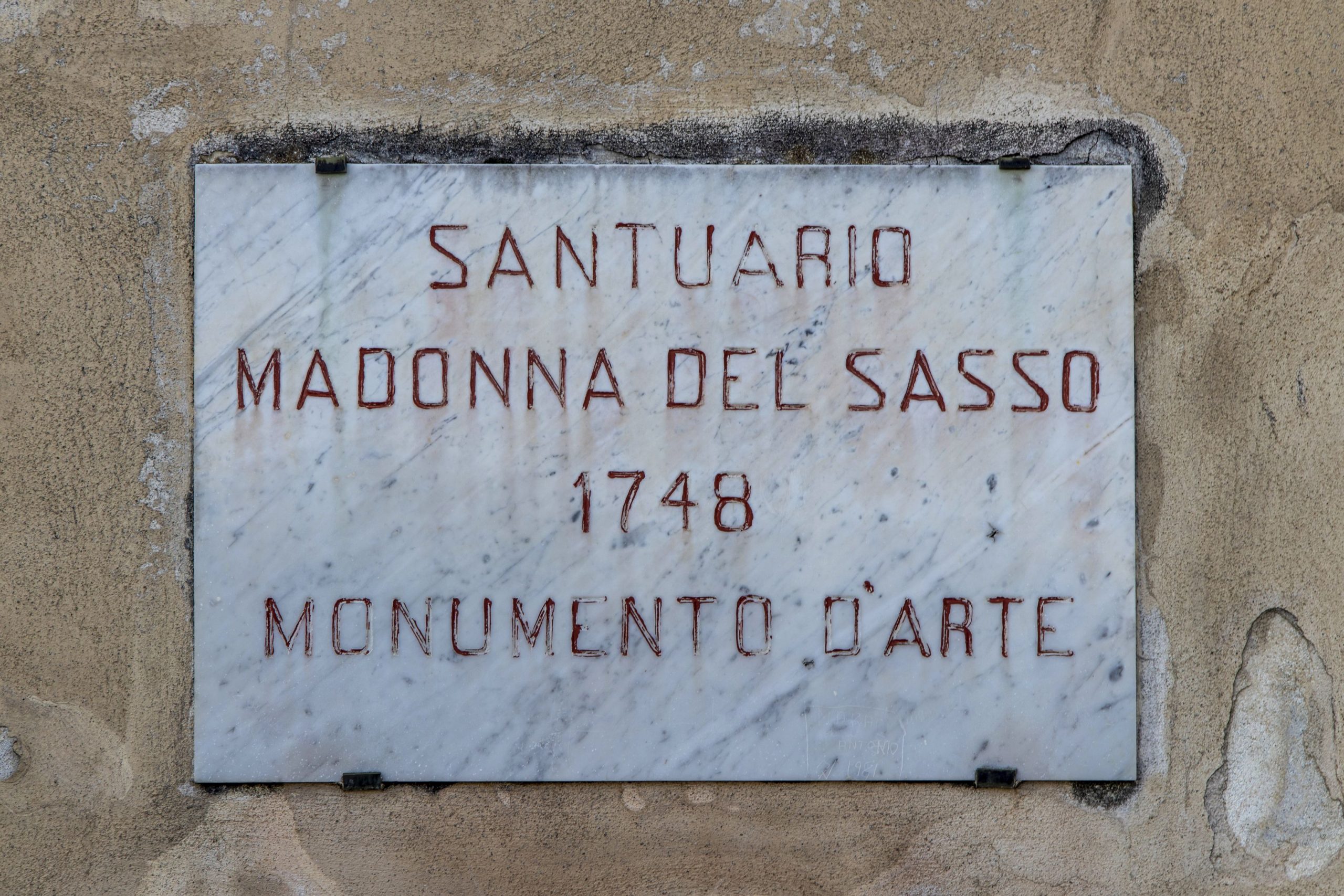
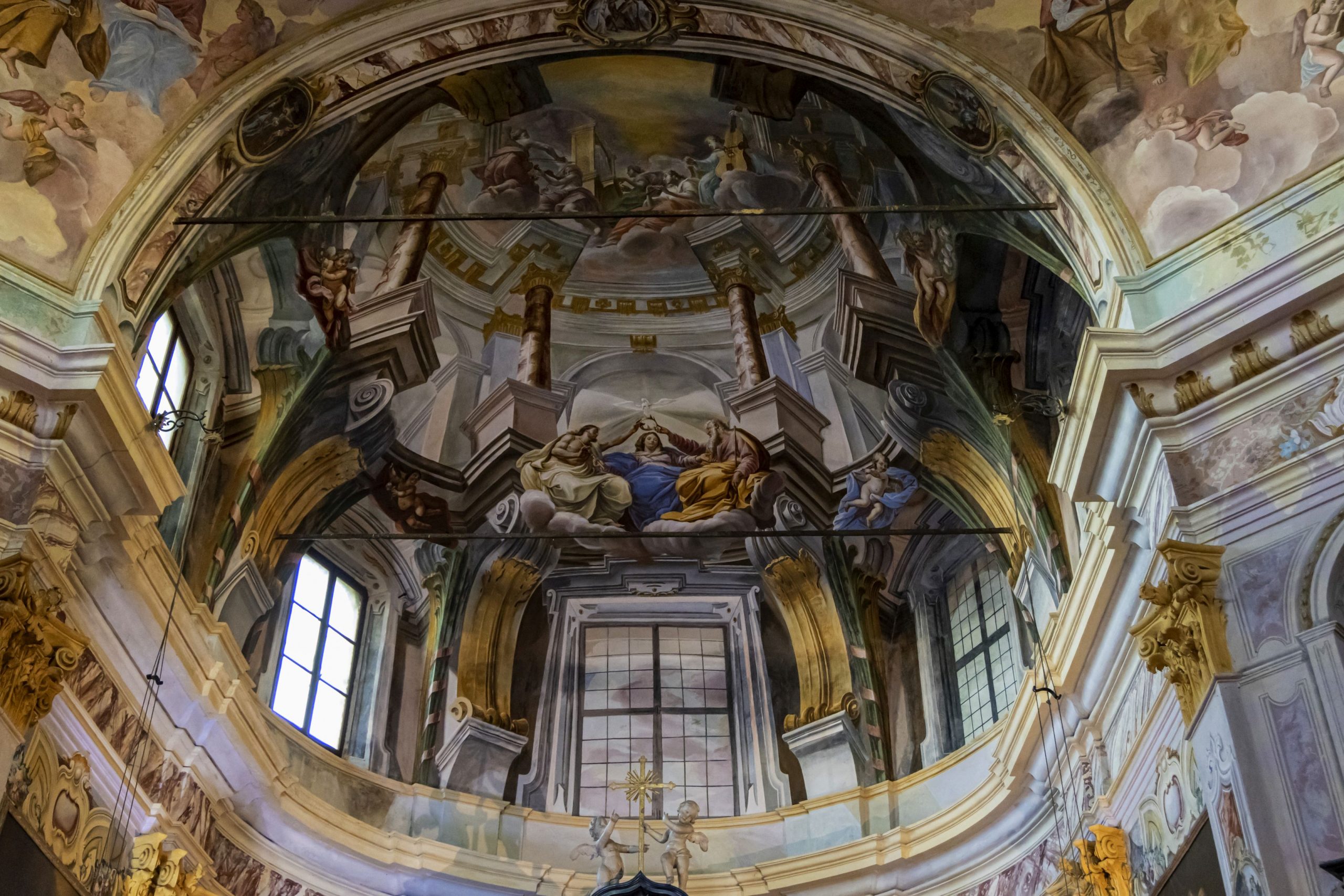
Am Eingang von Boleto wendet man sich nach rechts und folgt der Via Monte Avigno bis zur Wallfahrtskirche Madonna del Sasso und zum Panoramaplatz mit Blick auf den Lago d’Orta.
Man fährt den gekommenen Weg wieder zurück und durch die Via Santuario, an der Kreuzung biegt man rechts in die Via Riotti ein. An der nächsten Kreuzung geht es nach links, dann folgt man den Wegweisern nach Artò und Centonara.
Man fährt weiter am Sportplatz vorbei und durch den kleinen Ortsteil von Artò. Man erreicht nun die Pfarrkirche San Bernardino auf der linken Seite und beginnt eine erneute Abfahrt in Richtung der Ortschaft Centonara.
Man fährt immer weiter in Richtung Alzo di Pella: am Ende der Abfahrt an der Kreuzung fährt man nach links und an der folgenden Kreuzung rechts zur Dorfmitte von Alzo. Man kommt an der Pfarrkirche vorbei und an einem Kreisel, um dann links in eine Abfahrt nach Pella einzubiegen. Man kommt schnell hinunter zur Kirche S.Filiberto: an der Kreuzung biegt man rechts ab und fährt weiter in Richtung San Maurizio d’Opaglio. Nach dem Anstieg kommt man an eine Ampel. Hier muss man links abbiegen in die Via Roma in Richtung Gozzano. Auf einem langen Stück in der Ebene kommt man zum Sportplatz von Gozzano: am Kreisel hält man sich rechts in Richtung Pogno und kehrt nach einem letzten steilen Anstieg (bekannt als “der Kilometer”) zum Ausgangspunkt in Pogno zurück.
Sehenswertes: die Wallfahrtskirche Madonna del Sasso, die Kirche San Filiberto in Pella.
AUTOR: Fabio Valeggia
Zurück zur Routenliste
Départ de pogno et retour
POGNO–MADONNA DEL SASSO–ALZO-POGNO
Lago d’Orta
Routenbeschreibung
En partant de la place principale de Pogno, peu après l’église paroissiale, on prend la route de la Cremosina qui monte légèrement jusqu’au tunnel S. Bernardo.
À la sortie du tunnel, au bout d’une centaine de mètres, on tourne à droite en suivant les indications pour Zuccaro et Valpiana.
La route monte rapidement : on rencontre sur la gauche la déviation pour Oraldo. En continuant tout droit, on rejoint Zuccaro et le hameau de Valduggia.
On continue à monter et en traverse les hameaux de Seula, Orsanvenzo jusqu’à Valpiana. Ici, la route devient escarpée avec une série de tournants. Il faut faire très attention car la chaussée est considérablement endommagée. On continue à travers les forêts de hêtres et de bouleaux puis on traverse la zone des Sabbioni (des blocs de granit blanc en décomposition).
À l’entrée de Boleto, on tourne à droite, en suivant la via Monte Avigno et en rejoignant le Sanctuaire de la Madonna del Sasso et son parvis panoramique sur le lac d’Orta.
On revient sur nos pas et on parcourt la via Santuario ; au stop, on tourne à droite dans la via Riotti. Au stop suivant, on tourne à gauche et on suit les indications pour Artò et Centonara.
On passe devant le stade et on traverse le petit hameau d’Artò. On rejoint l’église paroissiale San Bernardino et on recommence à descendre en direction du village de Centonara.
On continue toujours en direction d’Alzo di Pella : au bout de la descente, au stop, on tourne à gauche puis à droite au stop suivant vers le centre du village d’Alzo. On passe devant l’église paroissiale et un rond-point puis on tourne à gauche et on descend en suivant les indications pour Pella. On arrive rapidement à l’église S.Filiberto : au stop, on tourne à droite et on continue en direction de San Maurizio d’Opaglio. On arrive au feu rouge au bout de la descente. Ici, on tourne à gauche dans la via Roma en direction de Gozzano. On continue sur un long tronçon sans dénivelés jusqu’au quartier du stade de Gozzano : au rond-point, en garde la droite en direction de Pogno et après une dernière montée escarpée (appelée « le kilomètre ») on revient au point de départ à Pogno.
À voir : le Sanctuaire de la Madonna del Sasso, l’Église San Filiberto de Pella.
AUTEUR: Fabio Valeggia
Zurück zur Routenliste
Departure from Pogno and return
POGNO–MADONNA DEL SASSO–ALZO-POGNO
Lago d’Orta
Routenbeschreibung
Starting from the main square of Pogno, shortly after the parish church, you set off along the Cremosina road climbing slowly to the S. Bernardo tunnel.
Exiting the tunnel, turn right after a hundred meters and follow the signs for Zuccaro and Valpiana.
The road rises steeply and on the left we come to the turn off for Oraldo. Continue straight on until you reach Zuccaro, a village in the district of Valduggia.
Continue uphill passing the villages of Seula, Orsanvenzo and then to Valpiana. Here the road climbs steeply with a series of hairpin bends. Take special care as the road surface is in very poor condition. Continue through the woods of birch and beech trees and then pass through the Sabbioni area of white granite blocks in decomposition.
At the entrance to Boleto turn right and follow via Monte Avigno. When you come to the Sanctuary of the Madonna del Sasso (Our Lady of the Rock) its panoramic square with a view of Lake Orta.
Retrace your steps and follow via Santuario, then at the stop sign turn right along via Riotti. At the next stop sign turn left and then follow the signs for Artò and Centonara.
Continue past the sports field passing through the small village of Artò. On the left you come to the parish church of San Bernardino and continue downhill in the direction of the village of Centonara.
Keep going in the direction of Alzo di Pella and turn left at the end of the descent at the stop sign, then at the next stop turn right toward the centre of the village of Alzò. Pass the parish church and a roundabout and then turn left downhill following the signs for Pella. The route descends rapidly to the church of S. Filiberto. At the stop sign turn right and continue in the direction of San Maurizio d’Opaglio. After the climb you come to the traffic lights. Here you turn left along via Roma in the direction of Gozzano. Continue on a long flat stretch to the area of the sports field in Gozzano. At the roundabout turn right in the direction of Pogno and after the ordeal of a last steep climb (known as il chilometro the kilometre) you return to the starting point at Pogno.
To see : the Sanctuary of the Madonna del Sasso (Our Lady of the Rock), the Church of San Filiberto of Pella.
AUTOR: Fabio Valeggia
Zurück zur Routenliste

