BETWEEN THE ANTIGORIO VALLEY AND THE FORMAZZA VALLEY THROUGH THE TOWNS
RIVER TOCE MTB ROUTE
Domodossola e dintorni
Route description
00 Percorso MTB del Toce
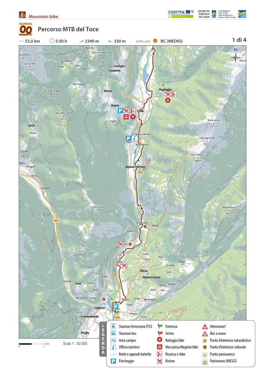
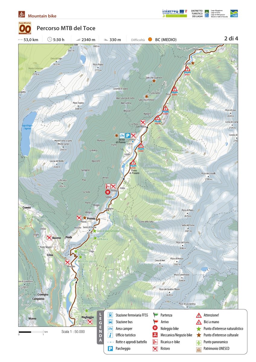
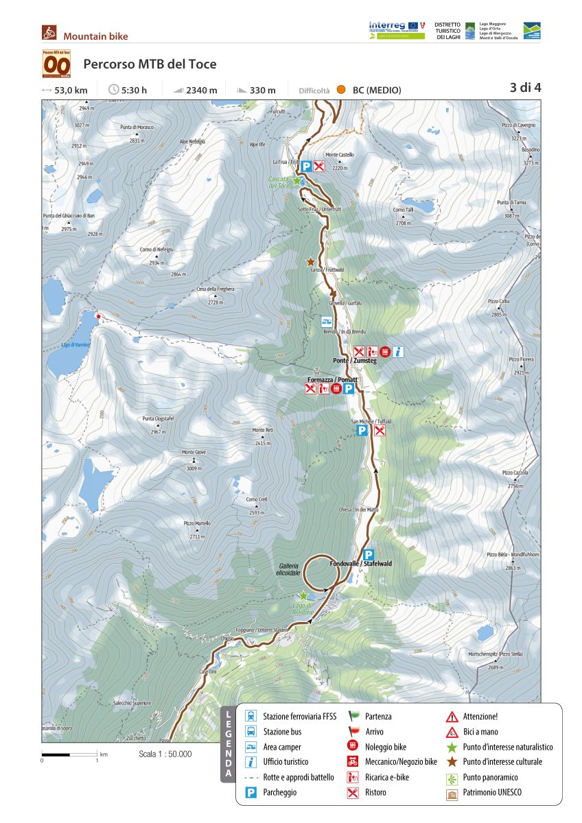
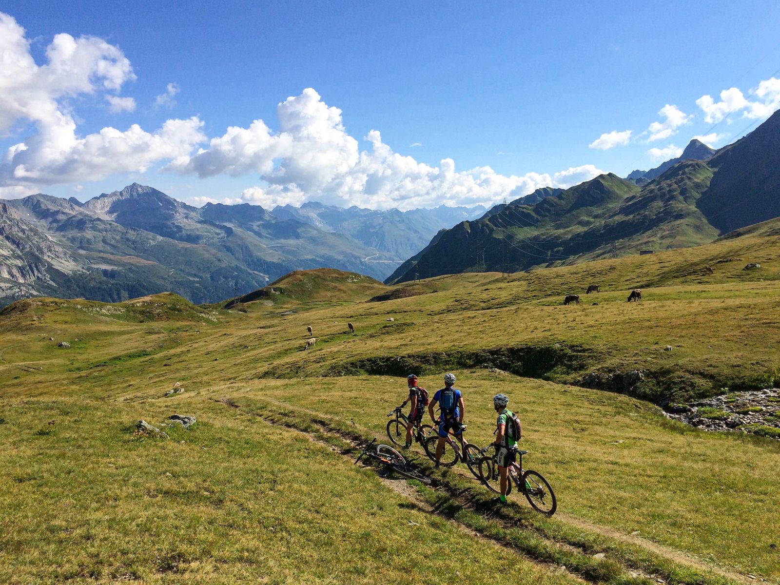
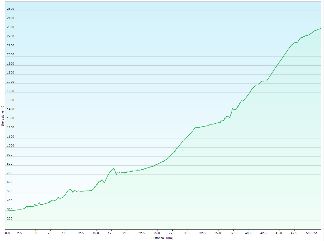
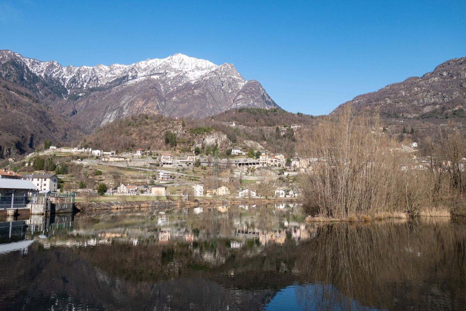
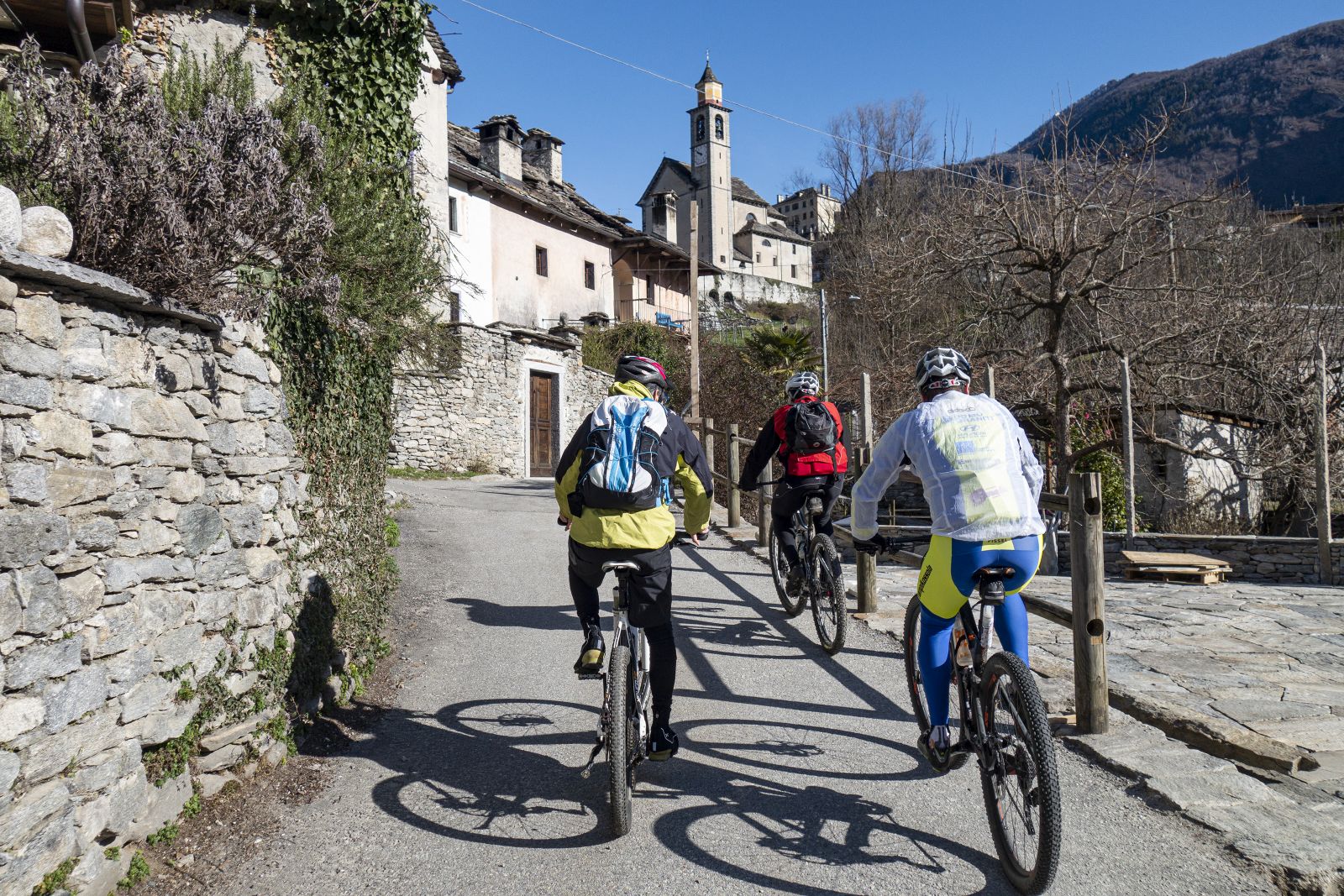
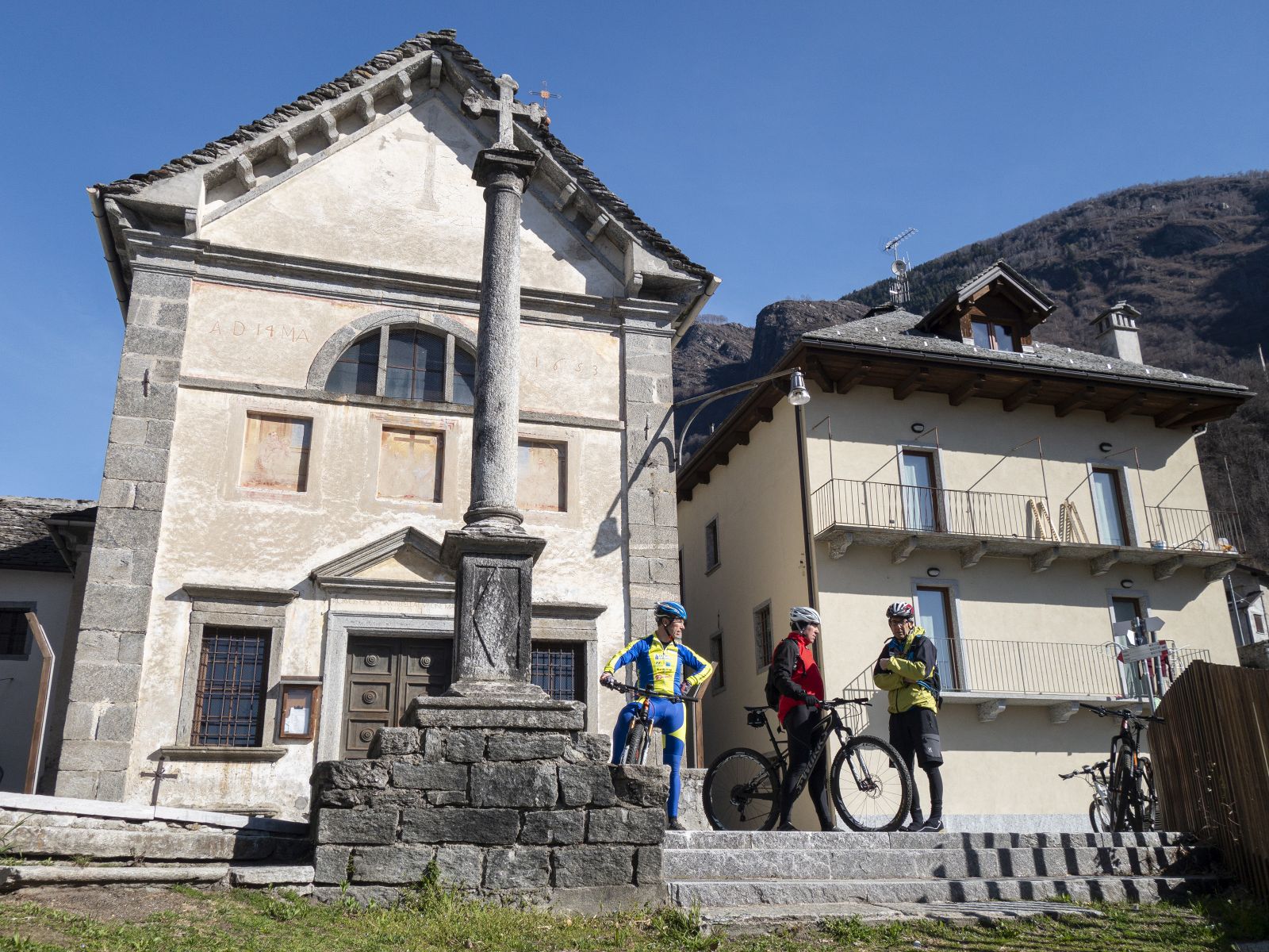
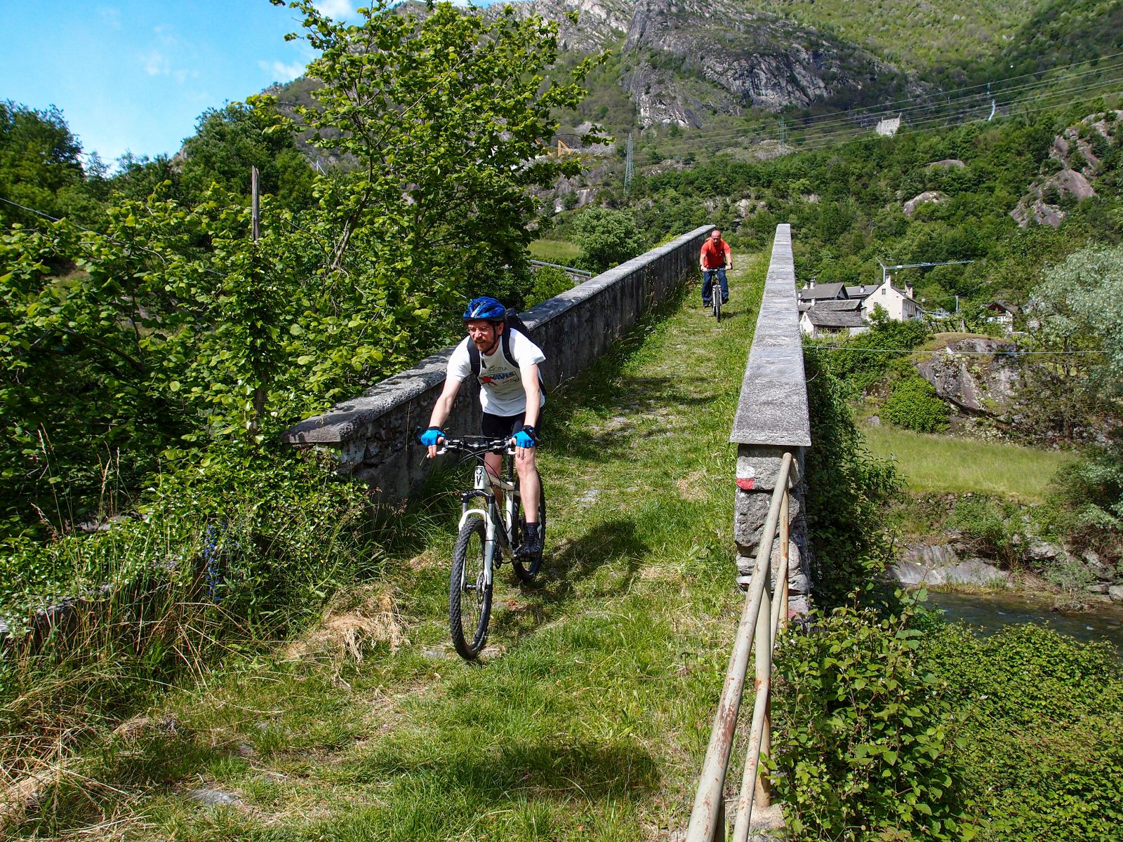
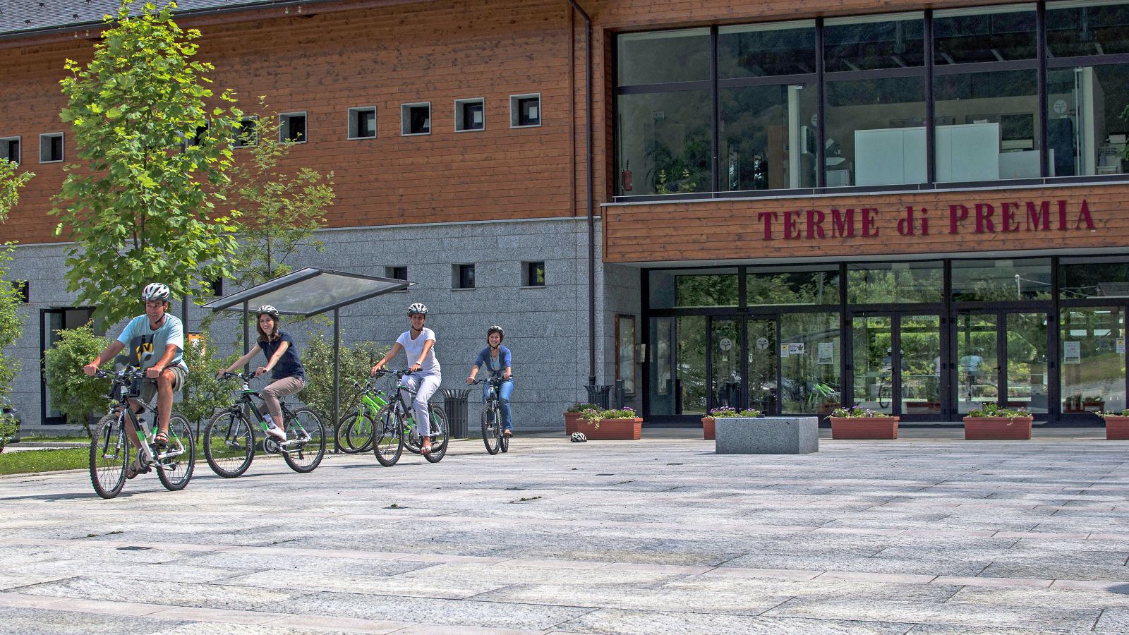
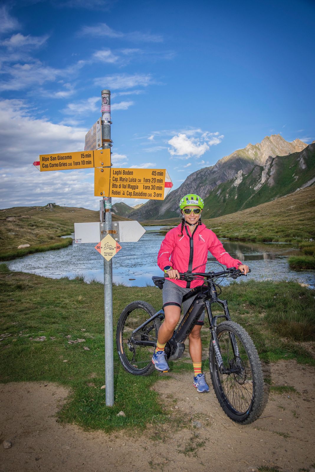
The Toce MTB Route, from Montecrestese/Crevoladossola to San Giacomo Pass, represents the main framework of the Antigorio Formazza Valley, from which the other routes branch. It runs up the valley through towns near the main roadway (SS659). The many accommodation and dining options along the valley allow you to choose the length of the legs according to your level of preparedness.
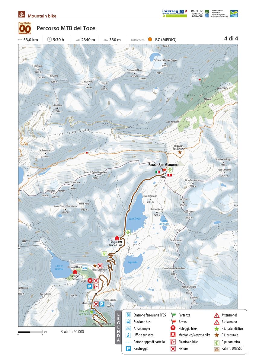
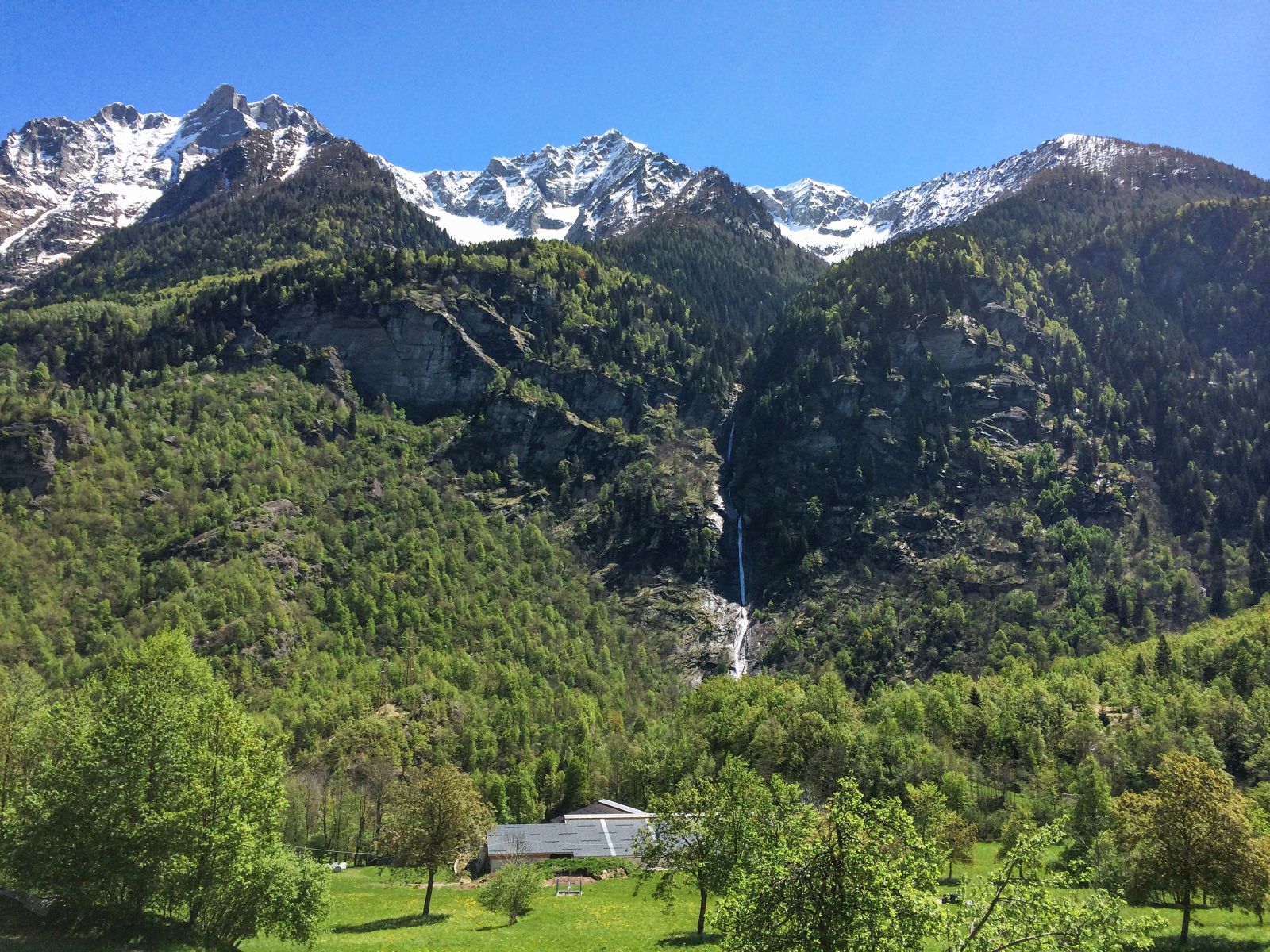
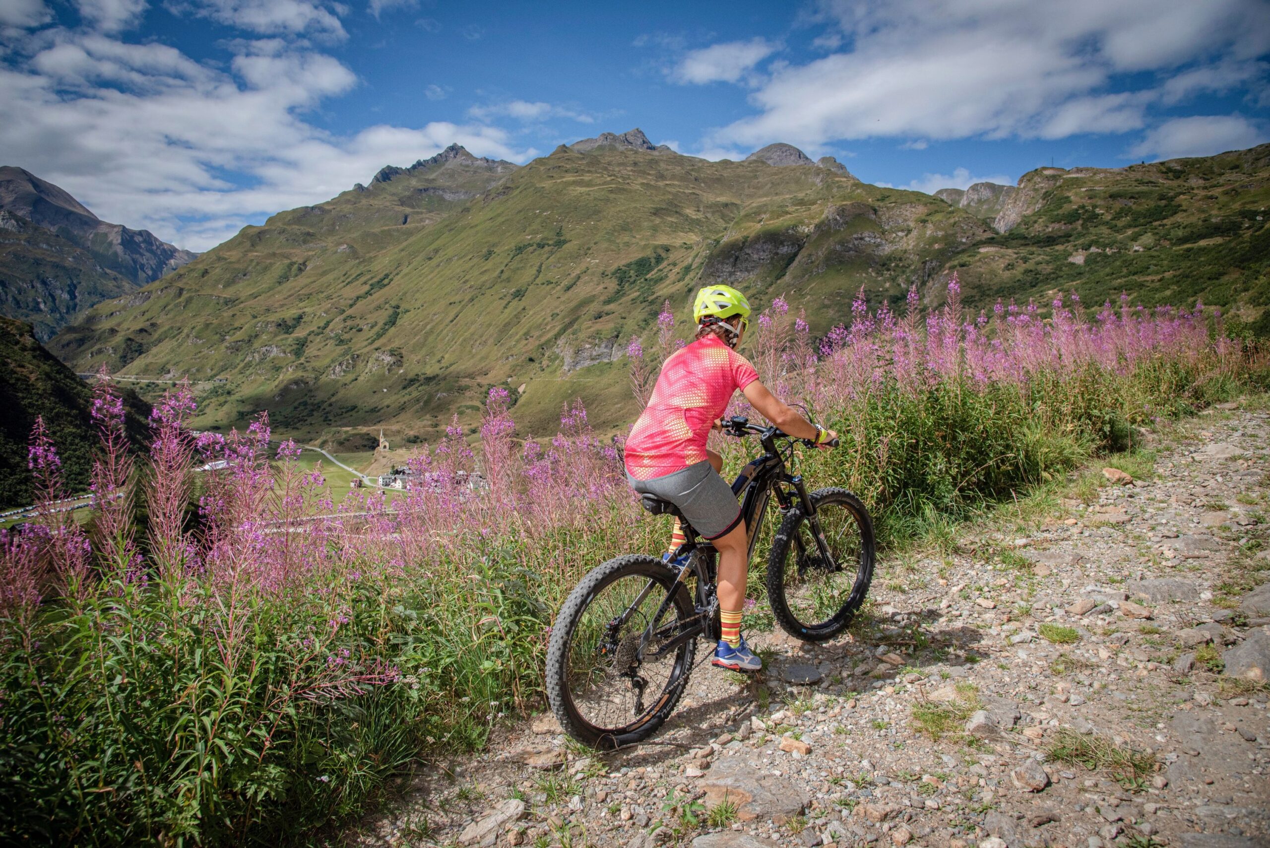
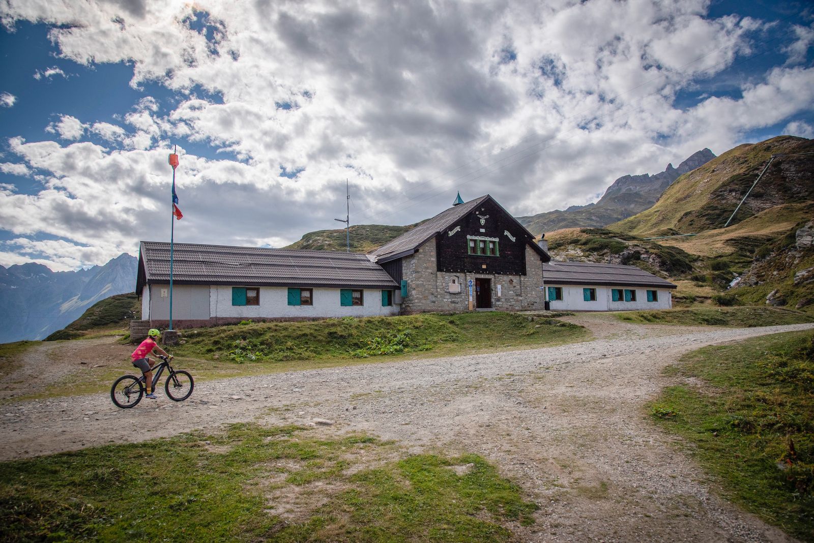
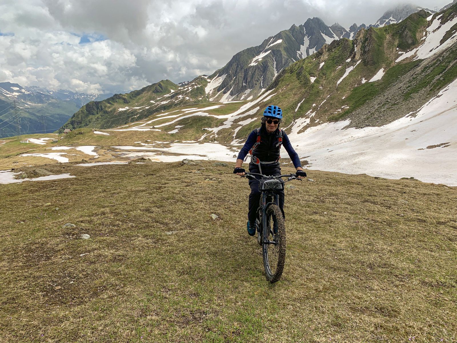
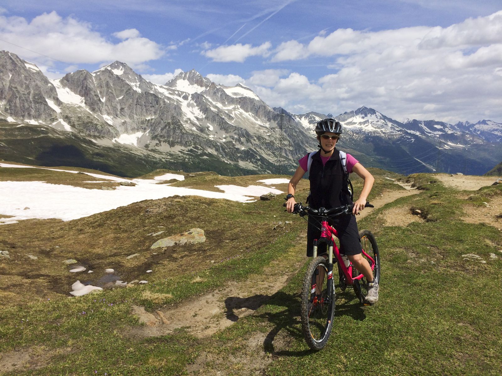
The Toce MTB Route takes on an international dimension in that it is the natural link between Domodossola and the St. Gotthard Pass while riding a bicycle. The proposed route follows, with some limited variations to avoid the steepest mule tracks, the SBRINZ ROUTE to Riale. From Riale, the route follows the beautiful road to the San Giacomo Pass. From the pass, we can descend into the Bedretto Valley to Airolo along the route 390 Alps Bedretto Bike promoted by Switzerland Mobile, which mid-coast touches the Alpe of Formazzora, Valleggia, Folera, Stabiello, Cristallina and Pescium.
Click on “Download HERE THE DESCRIPTION ” for more details
Back to the list of routes