The rural settlements and the tablelands located on the slopes of the Moncucco
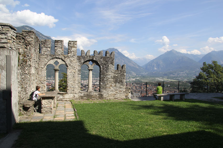
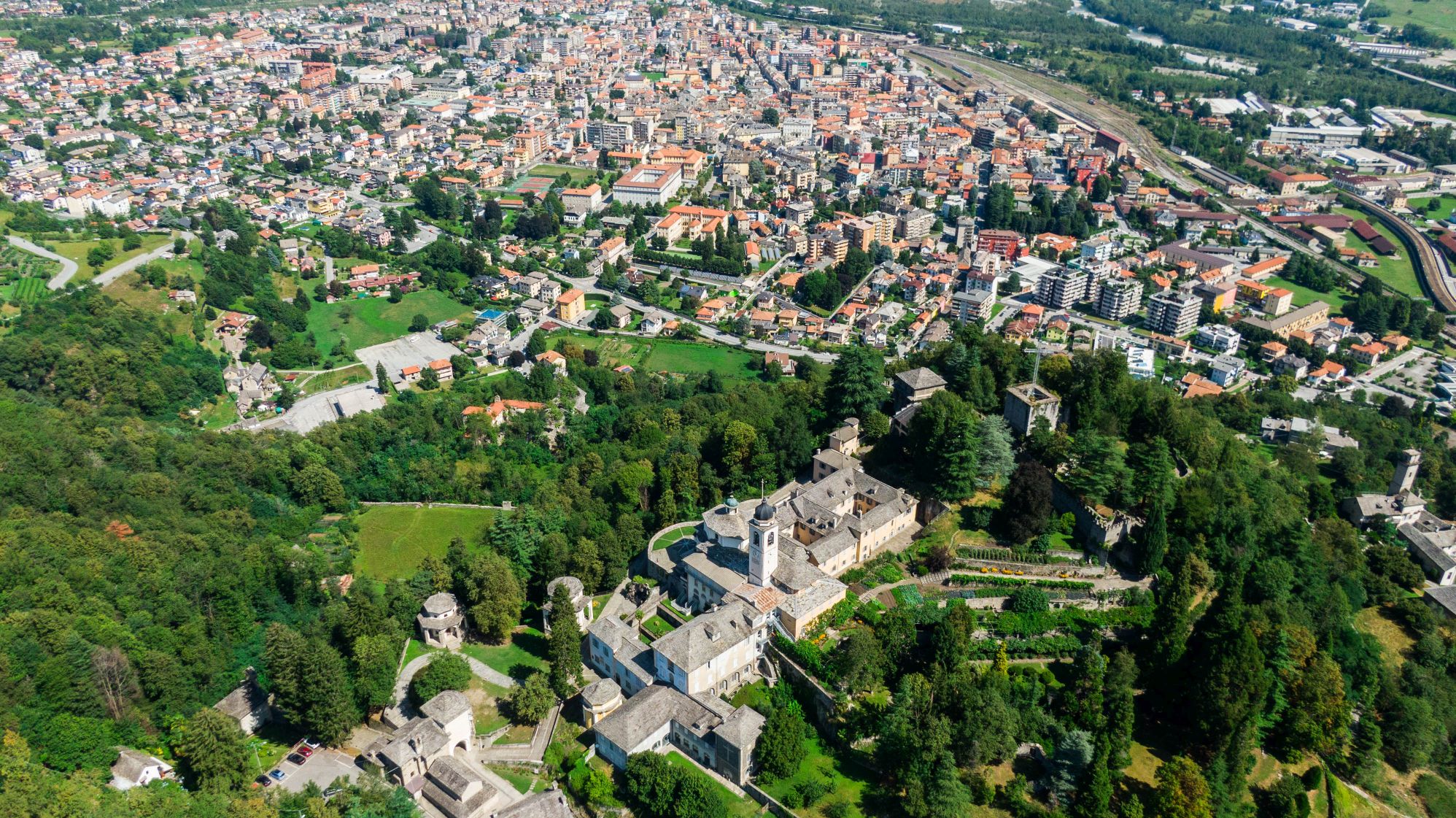
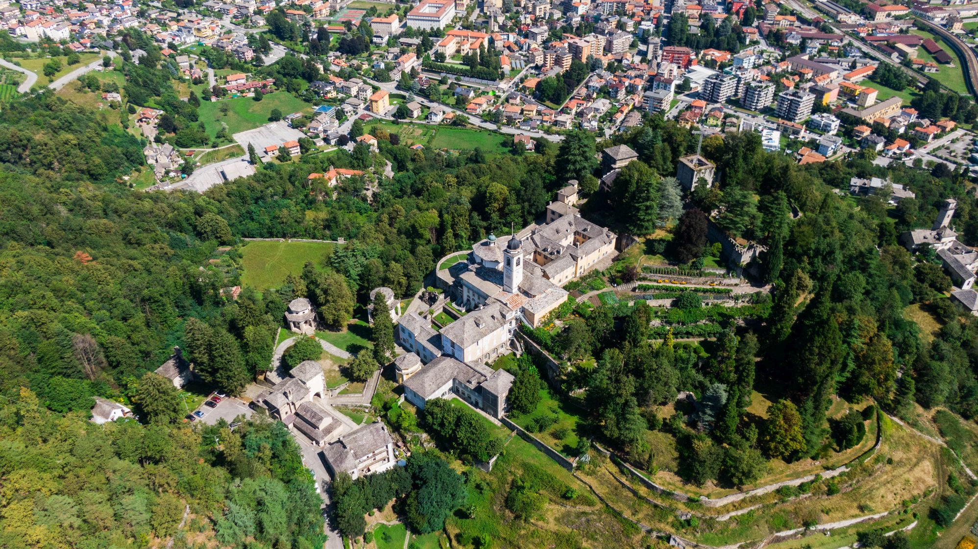
DOMOBIANCA AND THE CALVARIO SACRED MOUNT IN DOMODOSSOLA
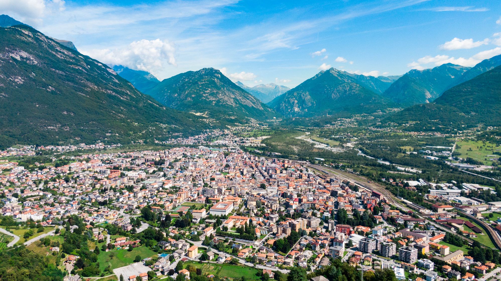
Domodossola e dintorni
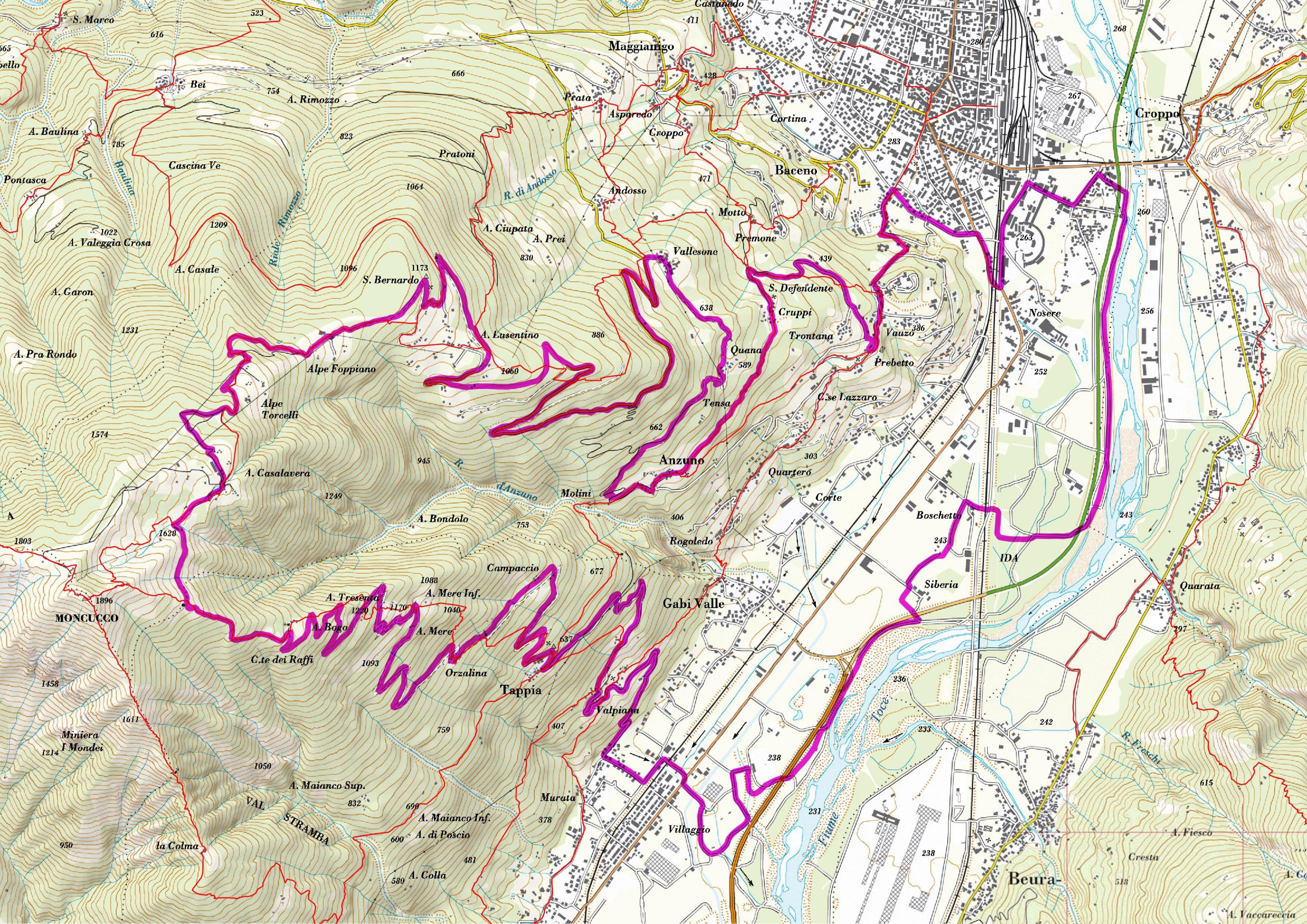
Route description
SEASON From May to October
A trip which allows you to discover the rural settlements and the tablelands located on the slopes of the Moncucco, the mountain of Domodossola.
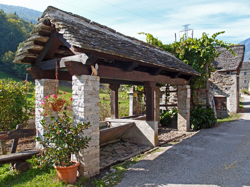
From Domodossola, follow the signs for the Sacro Monte Calvario (Sacred Mount Calvary) along the Via Crucis, then continue along the tarmac road in the direction of Crosiggia, skirt around the cemetery and climb to the Oratorio di San Defendente (Oratory of Saint Defendens) and to the village of Cruppi. Here you take the path signposted A01a and with some ups and downs (caution – some obstacles and exposed sections) you come to the quaint village of Anzuno (wine press dating from 1712 and a bread oven from 1895). You cross the entire village and just before reaching the Rio di Anzuno (Anzuno River) turn right following a forest track that climbs gradually all the way to Vallesone.
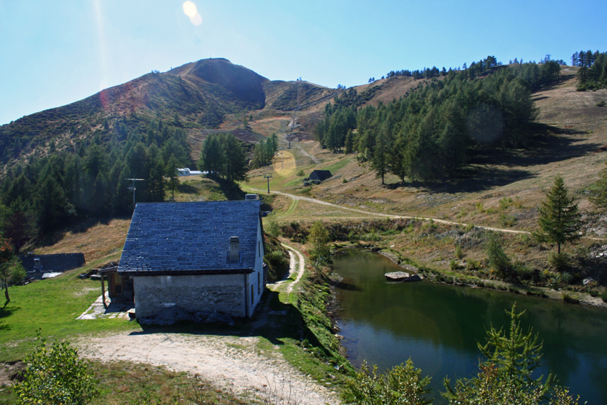
Here you meet the road coming from Domodossola which you follow all the way up to Alpe Lusentino. Just before the car park take the unmade road on the right that enters an almost level stretch in the forest, then climb up to the Oratorio di San Bernardo (Oratory of Saint Bernard) and then to Alpe Foppiano. From the alpine pasture the climb becomes particularly difficult with steep hills and alternating sections of tarmac and unmade sections; after passing Alpe Torcelli you come to the mountain huts of Alpe Casalavera near a small pond with the peak of Mount Moncucco in the background.
Passing alongside the lake you continue to reach a large stable: immediately behind it there is the beginning of an unclear track, with poor going for pedalling, that passes across the slopes of Mount Moncucco toward the south;the track then crosses the A03 path which drops through the woods (follow the white and red marks on the trees) along the ridge until you reach Alpe Court dei Raffi: this stretch is difficult for pedalling. At Corte dei Raffi a forest track then starts that drops in hairpin bends to Orzalina and Campaccio where the road becomes tarmac. Continuing downward you come to Tappia and Valpiana and a little further on you reach the bottom of the valley. To return to Domodossola you arrive at the sports field in Villadossola and follow the cycle path of the in bici tra i borghi (cycling through the villages) route.
AUTHOR Alessandro Pirocchi
Back to the list of routes